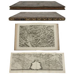
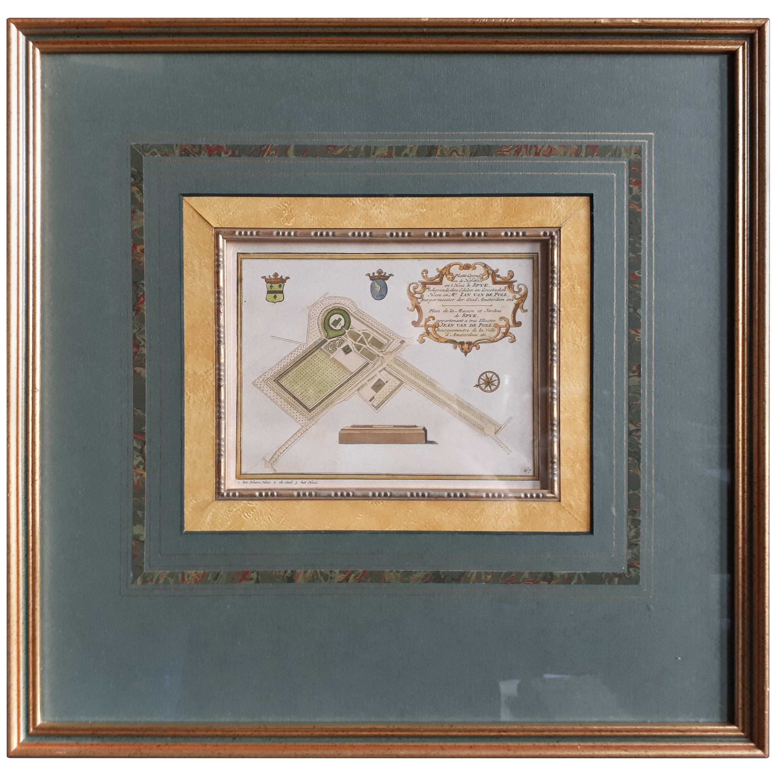
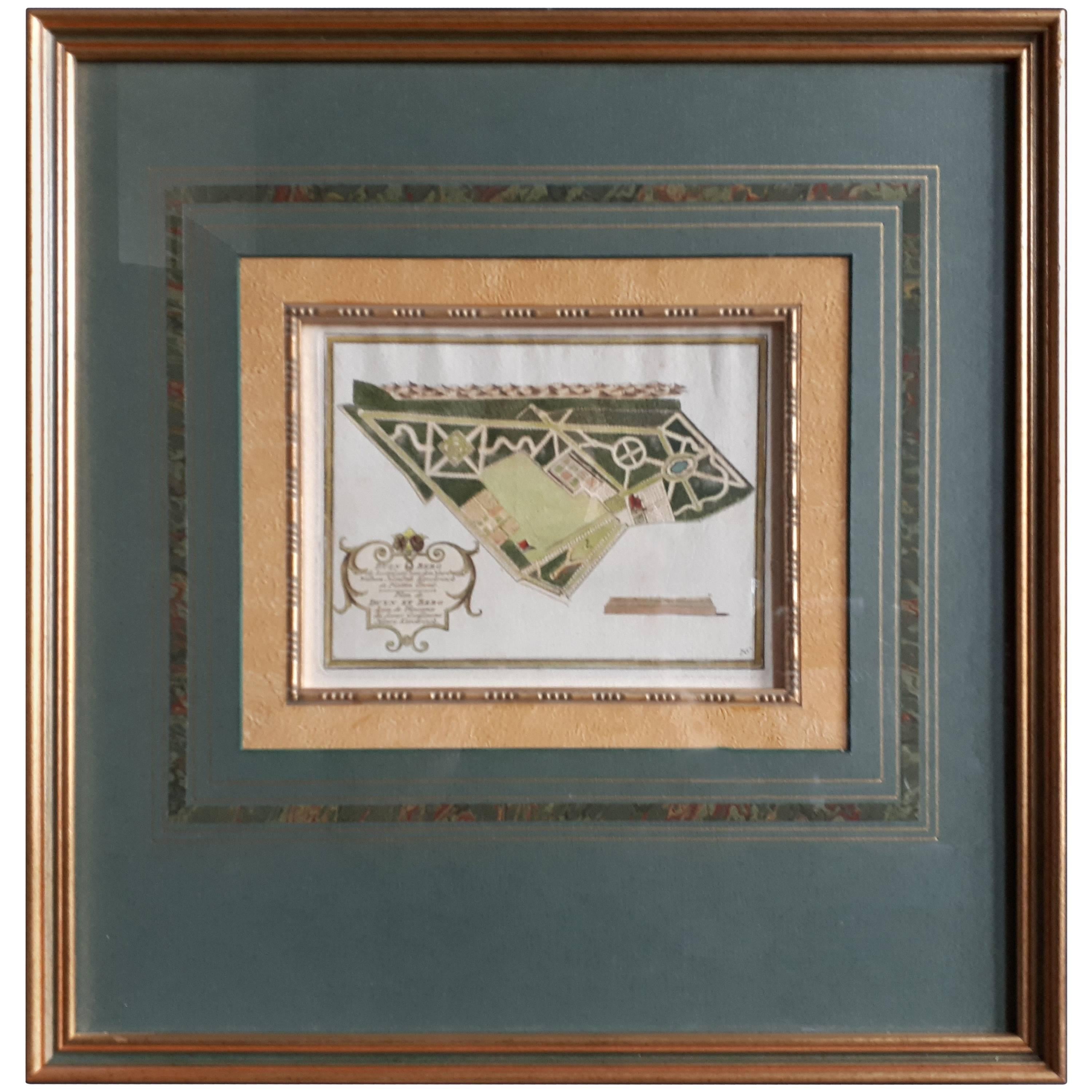
Plan de Paris (Plan of Paris), Turgot, 1739
View Similar Items


1 of 1
Plan de Paris (Plan of Paris), Turgot, 1739
About the Item
- Creator:Michel Etienne Turgot (Maker)
- Dimensions:Height: 24.75 in (62.87 cm)Width: 19.5 in (49.53 cm)Depth: 1.5 in (3.81 cm)
- Materials and Techniques:
- Place of Origin:
- Period:
- Date of Manufacture:1739
- Condition:Wear consistent with age and use.
- Seller Location:Houston, TX
- Reference Number:1stDibs: LU129322912333
You May Also Like
- Antique Map of Asia 'circa 1739'Located in Langweer, NLAntique map titled 'Asia Dividida em suas Regioens & Principaes Estados'. Rare and uncommon map of Asia. Signed '1739'. Source unknown, to be determined. ...Category
Antique Mid-18th Century Maps
MaterialsPaper
 $569 Sale Price35% Off
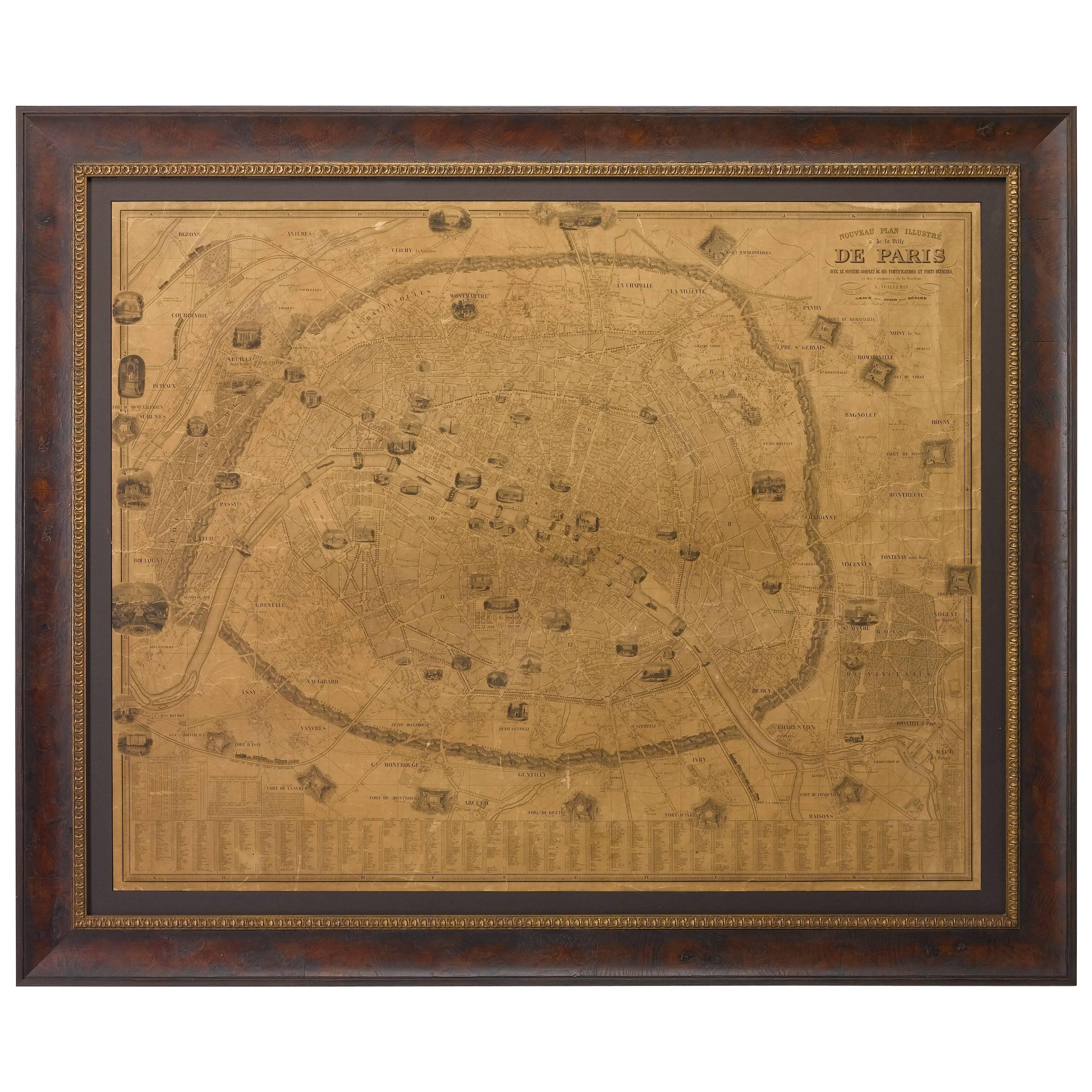
 - Plan of Paris, France, by A. Vuillemin, Antique Map, 1845Located in Colorado Springs, COThis large and detailed plan of Paris was published by Alexandre Vuillemin in 1845. The map conveys a wonderful amount of information and is decorated throughout with pictorial vigne...Category
Antique 1840s American Maps
MaterialsPaper
- Antique Map of the Arabian Peninsula by Franceschini, '1739'Located in Langweer, NLAntique map titled 'Conventus et Residentiae'. Rare map of the Arabian Peninsula. This map originates from 'Provinciarum et Conventum Fratrum Discalc...Category
Antique Mid-18th Century Maps
MaterialsPaper
- Antique Plan of Ancient Syracuse, Plan of ancient Syracuse, Sicily, ItalyLocated in Langweer, NLAntique print titled 'Plan de l'Ancienne Ville de Syracuse'. Plan of ancient Syracuse, Sicily, Italy. This print originates from 'Histoire Universelle (..)'. Artists and Engravers...Category
Antique 18th Century Maps
MaterialsPaper
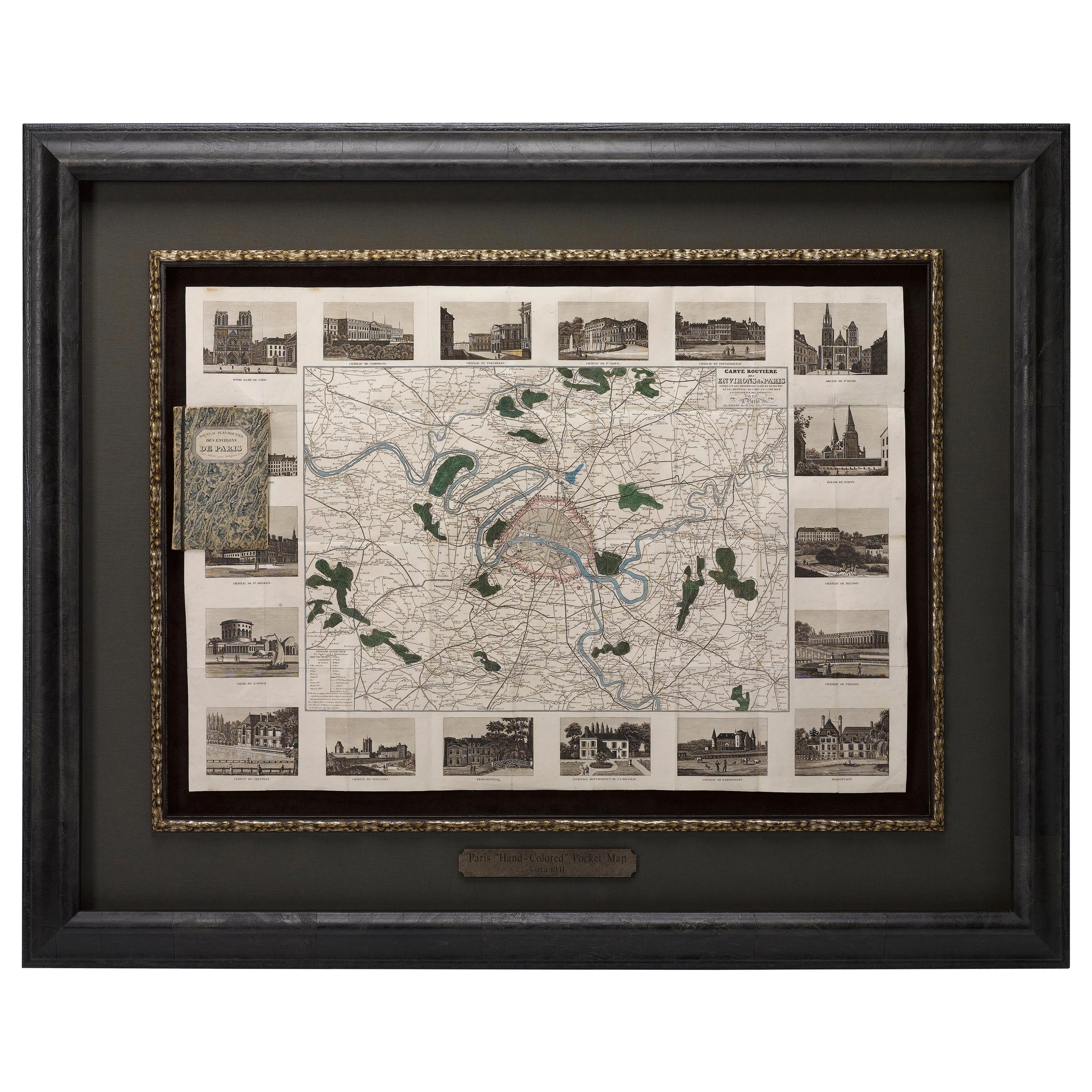
- Antique Map of Paris, "Carte Routiere des Environs de Paris" 1841Located in Colorado Springs, COThis beautiful hand-colored road map of Paris was published in 1841. The map shows Paris and the surrounding area in a folding pocket map. Organized and detailed for travelers, this ...Category
Antique 1840s French Maps
MaterialsPaper
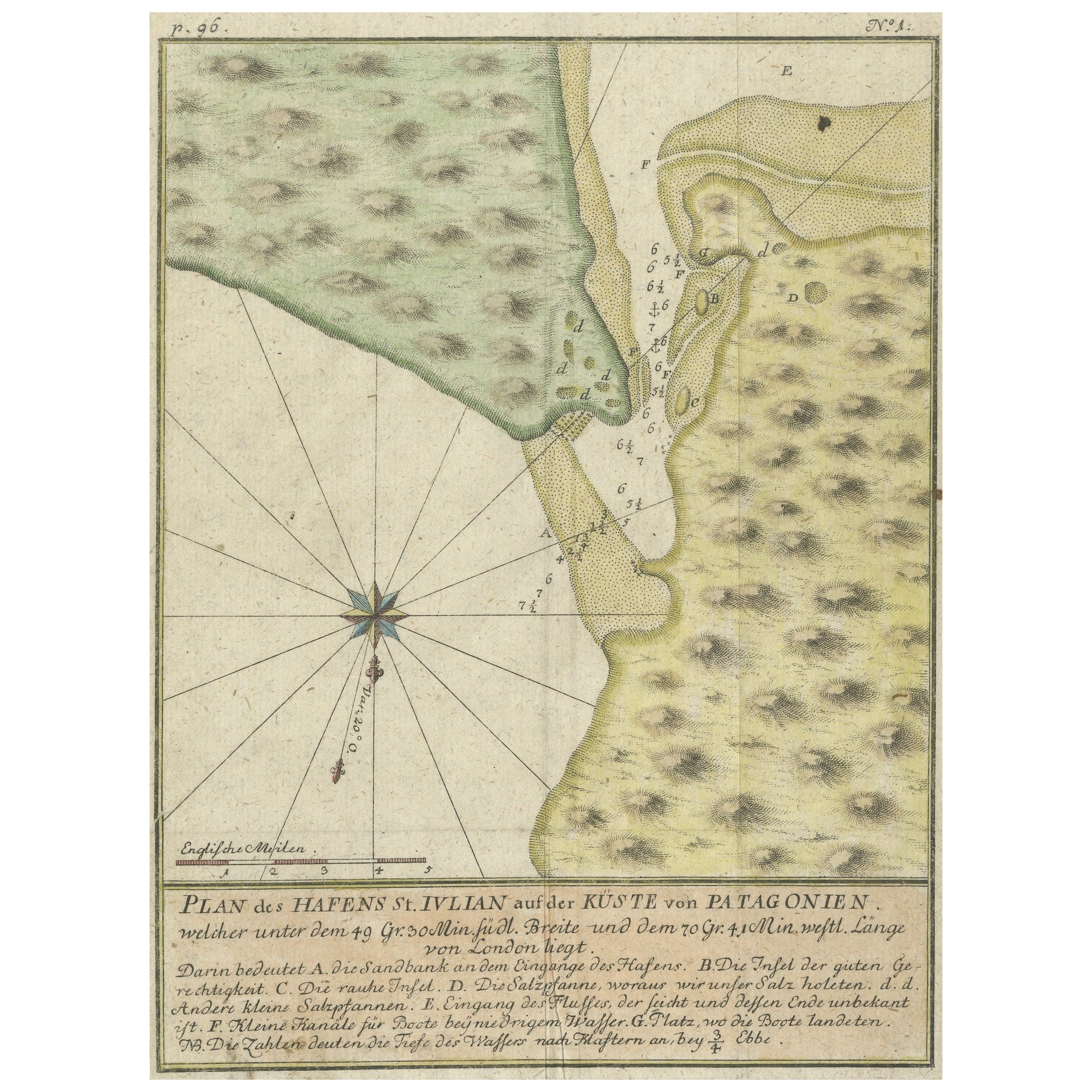
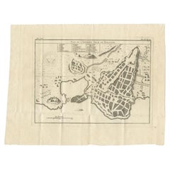
- Antique Plan of Plan of St. Julian's Harbour on the Coast of PatagoniaLocated in Langweer, NLAntique map titled 'Plan des Hafens St. Iulian auf der Küste von Patagonien'. Plan of St. Julian's Harbour on the Coast of Patagonia. This map originates from a German edition of 'Voyage around the World...Category
Antique Mid-18th Century Maps
MaterialsPaper


Recently Viewed
View AllMore Ways To Browse
Turgot Map Of Paris
Turgot Map
Merchant Counter
Parisian Counter
Antique Garden Implements
Prada 2019
Rihanna Fenty
Simon Evans
Sinatra Signed Set
Spanish Colonial R
Steve Mccurry Book
Tashen Books
Tiffany And Co Blue Book 2017
Tiffany Blue Book 2017
Tiffany Nature Leaf Ring
Tom Scheerer
Toni Facella
Vintage Indian Leather Jacket