Items Similar to 'Chicago, the Old and the New' by Fred B. Hitchings 'circa 1920'
Want more images or videos?
Request additional images or videos from the seller
1 of 11
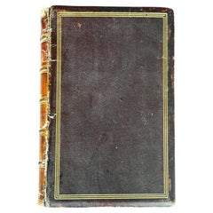
'Chicago, the Old and the New' by Fred B. Hitchings 'circa 1920'
$719.25
$899.0620% Off
£534.30
£667.8820% Off
€600
€75020% Off
CA$998.76
CA$1,248.4520% Off
A$1,089.88
A$1,362.3520% Off
CHF 571.66
CHF 714.5820% Off
MX$13,236.96
MX$16,546.2120% Off
NOK 7,140.36
NOK 8,925.4520% Off
SEK 6,747.99
SEK 8,434.9920% Off
DKK 4,567.74
DKK 5,709.6720% Off
About the Item
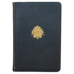
'Chicago, the Old and the New' by Fred B. Hitchings. Vintage booklet with pictures reproduced from authentic drawings of scenes before the great fire of October 9 1871, and pictures from recent photographs made especially for this work. In original binding, published circa 1920.
- Dimensions:Height: 5.91 in (15 cm)Width: 8.78 in (22.3 cm)Depth: 0.2 in (5 mm)
- Materials and Techniques:
- Period:
- Date of Manufacture:circa 1920
- Condition:Few pages partly loose. Original cover, shows some wear and sl. sunned. Please study images carefully.
- Seller Location:Langweer, NL
- Reference Number:Seller: BG-070951stDibs: LU3054322087332
About the Seller
5.0
Recognized Seller
These prestigious sellers are industry leaders and represent the highest echelon for item quality and design.
Platinum Seller
Premium sellers with a 4.7+ rating and 24-hour response times
Established in 2009
1stDibs seller since 2017
2,641 sales on 1stDibs
Typical response time: <1 hour
- ShippingRetrieving quote...Shipping from: Langweer, Netherlands
- Return Policy
Authenticity Guarantee
In the unlikely event there’s an issue with an item’s authenticity, contact us within 1 year for a full refund. DetailsMoney-Back Guarantee
If your item is not as described, is damaged in transit, or does not arrive, contact us within 7 days for a full refund. Details24-Hour Cancellation
You have a 24-hour grace period in which to reconsider your purchase, with no questions asked.Vetted Professional Sellers
Our world-class sellers must adhere to strict standards for service and quality, maintaining the integrity of our listings.Price-Match Guarantee
If you find that a seller listed the same item for a lower price elsewhere, we’ll match it.Trusted Global Delivery
Our best-in-class carrier network provides specialized shipping options worldwide, including custom delivery.More From This Seller
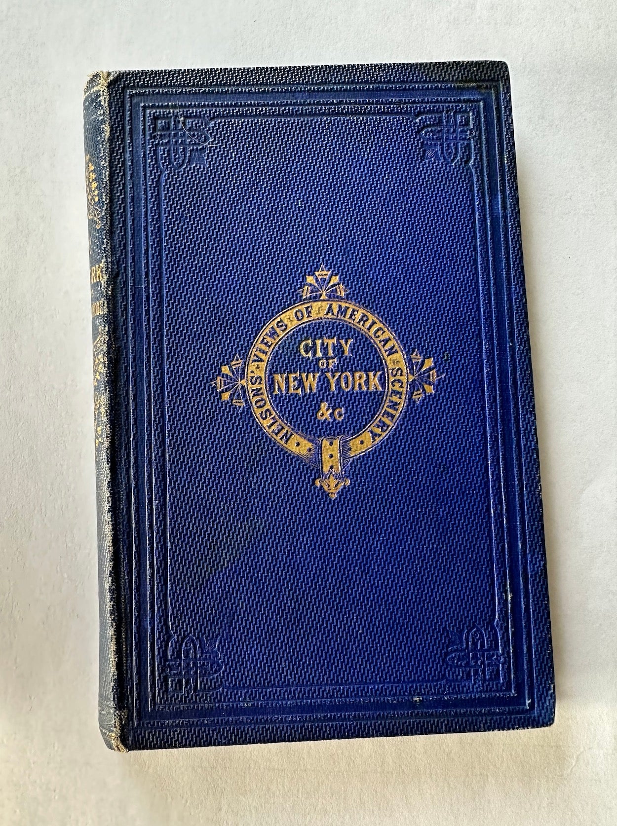
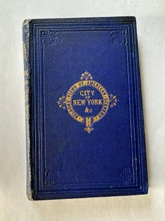
View AllNelson's Guide to the City of New York and its Neighbourhood, 1858
Located in Langweer, NL
"Nelson's Guide to the City of New York and its Neighbourhood," published in 1858 by T. Nelson in London and New York, serves as an invaluable resource for exploring the historical a...
Category
Antique 1850s Books
Materials
Paper
$421 Sale Price
20% Off
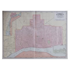
Antique Map of St. Louis and Chicago
Located in Langweer, NL
Antique map titled 'The City of St. Louis Missouri - The City of Chicago Illinois'. Dual map on single page showing St. Louis and Chicago. Finely produ...
Category
Antique Mid-19th Century Maps
Materials
Paper

$143 Sale Price
20% Off
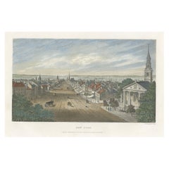
A Glimpse into the Early 19th Century Urban Landscape of New York, a 1842 Print
Located in Langweer, NL
The hand-colored print titled "New York," published in 1842, presents a detailed and picturesque view of the cityscape of New York as it appeared in the early 19th century. The title "New York" is centered below the image. Below the title, the text reads "LONDON: Published by Thomas Kelly. 17, Paternoster Row," indicating the publisher and location of publication in London. Additionally, the text "S. Davenport. Sculp." is printed beneath the image, signifying that the engraving was done by S. Davenport.
Description of the Image:
- **Perspective**: The image provides a broad view, likely from an elevated point, showing the expanse of the city. The perspective gives a sense of depth, with the street extending into the distance.
- **Central Street**: A wide, unpaved street runs down the center of the image, flanked by rows of buildings on both sides. This street is bustling with various activities.
- **Buildings**: The buildings are primarily two to three stories tall, featuring a mix of architectural styles typical of the period. Some have distinct red roofs, adding a touch of color to the scene.
- **Churches**: There are several prominent churches with tall spires visible in the background, indicating the importance of religious institutions during that time.
- **Foreground**: In the foreground, to the right, there is a large, columned building, which might be a significant public or religious structure.
- **Activity**: The street scene includes horse-drawn carriages and pedestrians, capturing the everyday life of the city's inhabitants.
- **Harbor**: In the far background, you can see masts of ships, indicating the proximity of the harbor and the importance of maritime activities to the city.
Artistic and Historical Context:
- **Engraving Style**: The work of S. Davenport, an engraver, suggests fine detail and precision typical of hand-colored prints of that era.
- **Historical Significance**: This print serves as a valuable historical document, offering a glimpse into the urban layout and architecture of New York City in the early 1840s.
- **Publishing Context**: Being published in London by Thomas Kelly indicates a transatlantic interest in the growing metropolis of New York, reflecting its emerging significance on the global stage.
This print is not only an artistic representation but also a historical record, encapsulating the essence of New York City during a period of significant growth and development.
Identifying specific buildings from a historical print like this one can be challenging, especially without modern landmarks for direct comparison. However, a few notable buildings and features from New York in the early 1840s could potentially be recognized based on historical context and architectural details.
Potential Recognizable Buildings:
1. **St. Paul's Chapel**: Given its prominent spire and proximity to the center of early New York...
Category
Antique 1840s Prints
Materials
Paper
$316 Sale Price
20% Off
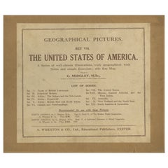
Geographical Pictures of the USA – Set VII by A. Wheaton & Co., ca. 1929
Located in Langweer, NL
Geographical Pictures of the USA – Set VII by A. Wheaton & Co., ca. 1929
A complete set of educational pictorial cards titled Geographical Pictures – Set VII: The United States of A...
Category
Early 20th Century English Prints
Materials
Paper
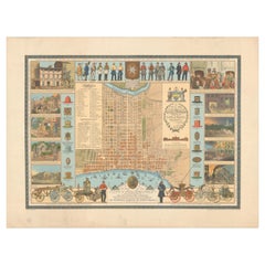
Map of Philadelphia with a Historical Tribute to its Volunteer Fire Companies
Located in Langweer, NL
This elaborate map of Philadelphia in Pennsylvania served as a historical tribute to the city's first volunteer fire departments. It was drawn by J...
Category
Vintage 1930s Maps
Materials
Paper
$537 Sale Price
20% Off
Free Shipping
The King-Country; or, Explorations in New-Zealand by Kerry-Nicholls (1884)
Located in Langweer, NL
'The King-Country; or, Explorations in New-Zealand' by J.H. Kerry-Nicholls. Ibid., Sampson Low etc., 1884, XX,379,(1),36p., fold. col. lithogr. map, woodengr. plates, ills., modern c...
Category
Antique Late 19th Century Books
Materials
Paper
$191 Sale Price
20% Off
You May Also Like
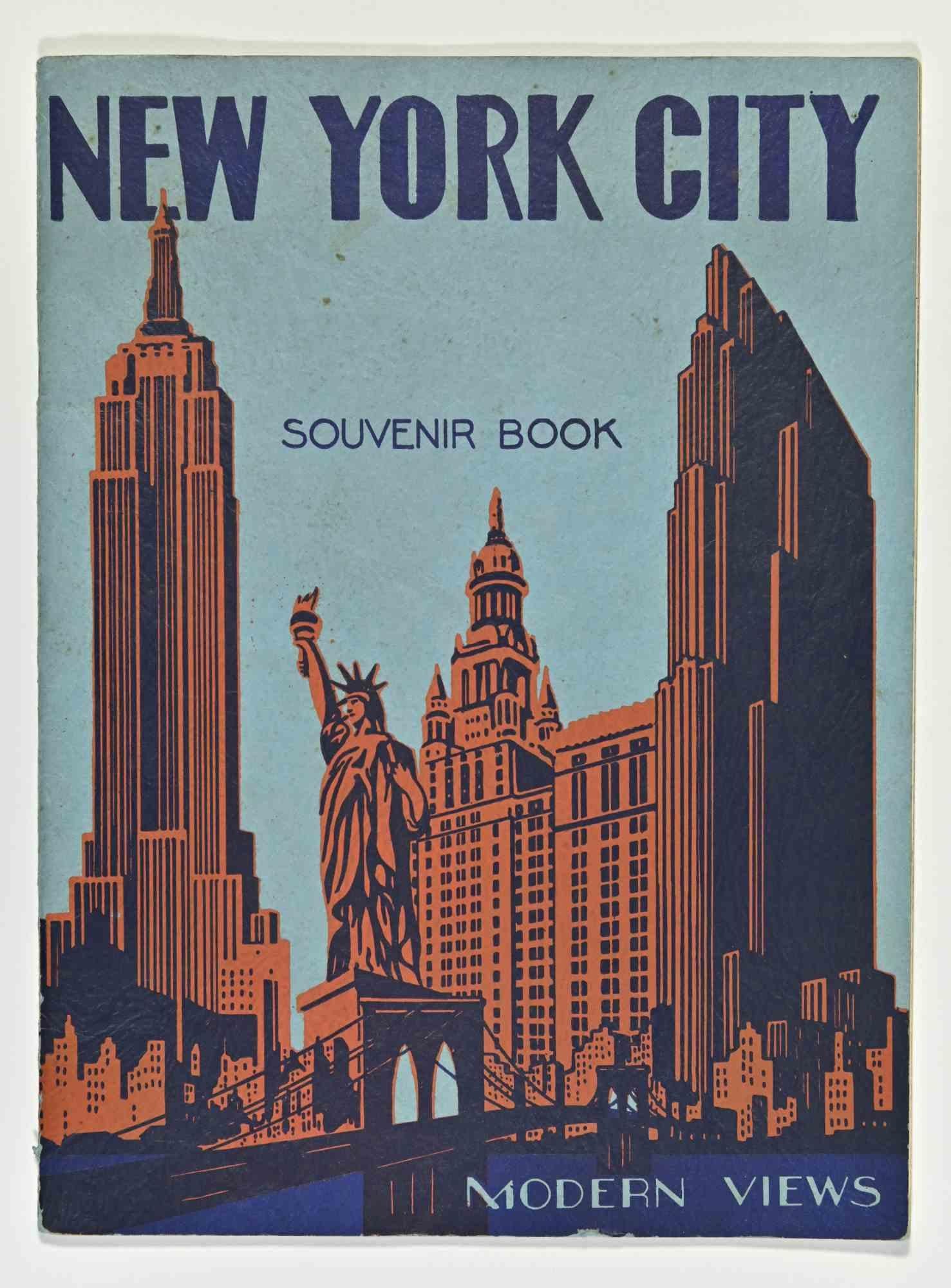
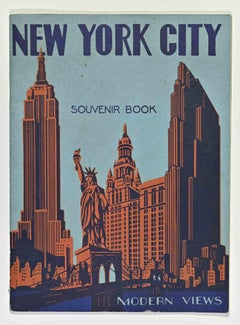
A Book of Modern Views of New York City - 1937
Located in Roma, IT
A Book of Modern Views of New York City is a souvenir book published by I. S. SEIDMAN & CO. in 1937.
Inside man photos of New York with descriptions.
Good ...
Category
1930s Modern More Art
Materials
Paper
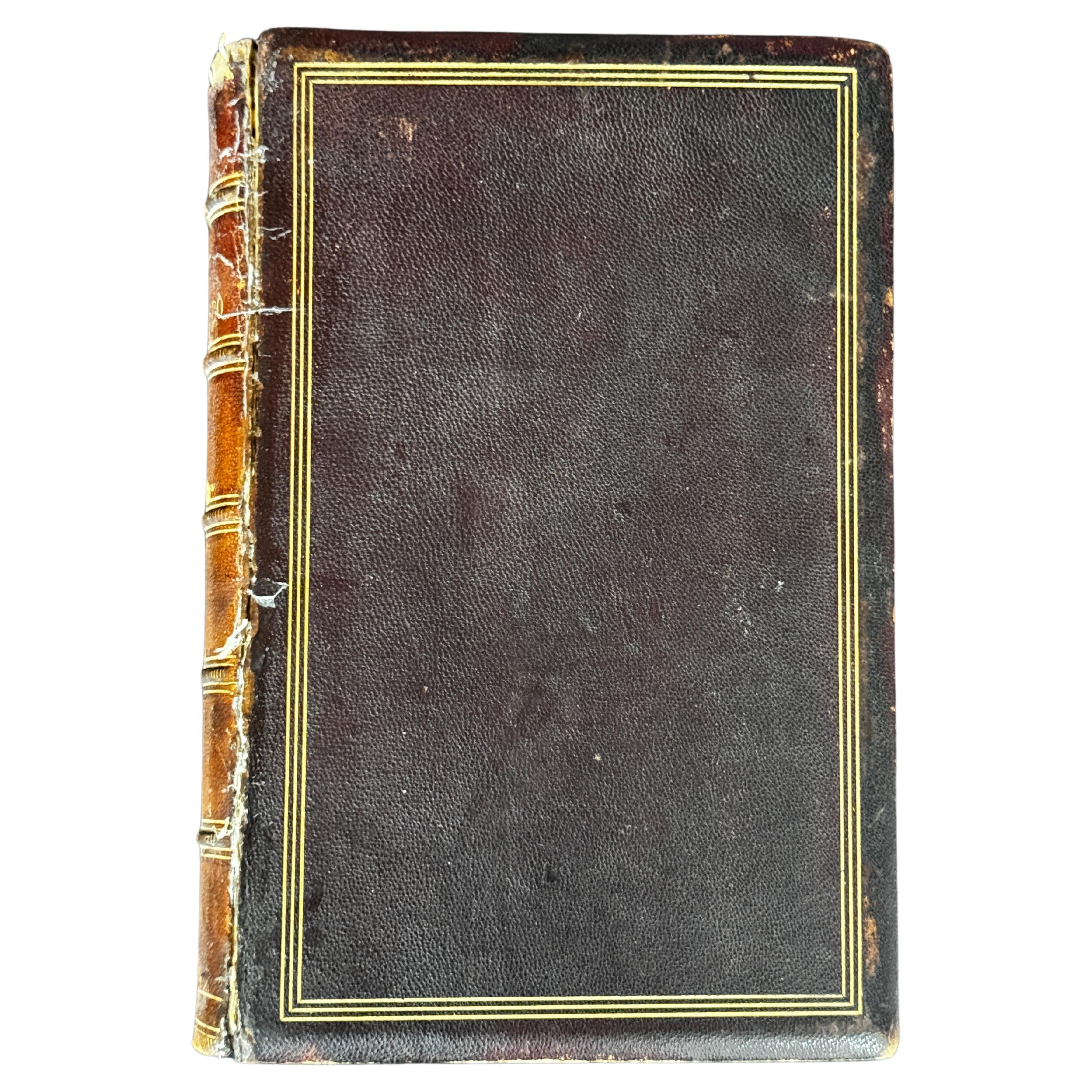
"The Annals of San Francisco" Leather Bound Book, 1855
Located in San Francisco, CA
"The Annals of San Francisco" Leather Bound Book, 1855
Published by Appleton & Co, NY First Edition
By Frank Soule, John H. Giron, MD, and James Nisbet
Category
Antique 1850s Books
Materials
Leather
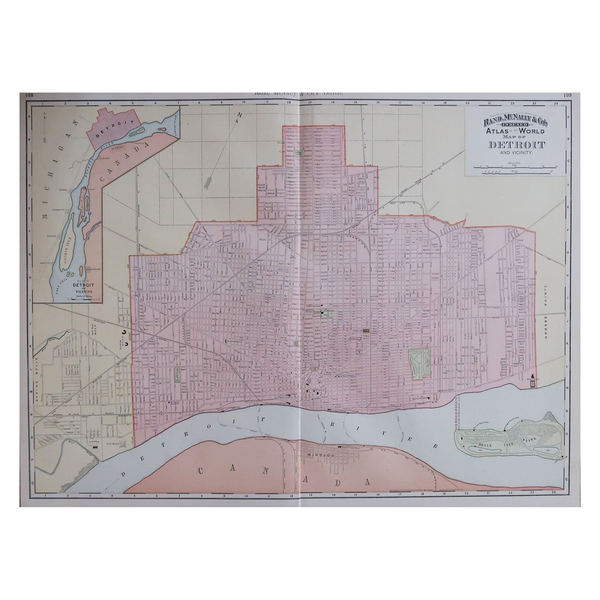
Large Original Antique City Plan of Detroit, USA, 1894
By Rand McNally & Co.
Located in St Annes, Lancashire
Fabulous colorful map of Detroit
Original color
By Rand, McNally & Co.
Published, 1894
Unframed
Free shipping.
Category
Antique 1890s American Maps
Materials
Paper
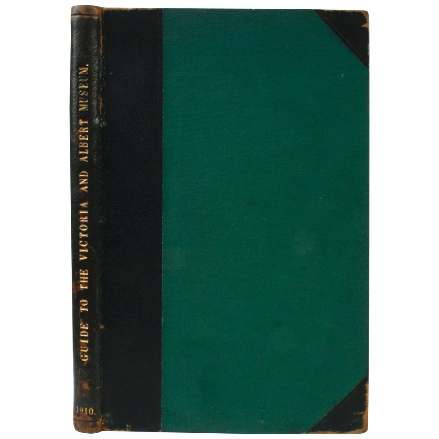
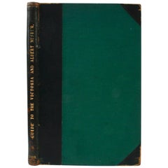
Guide to The Victoria and Albert Museum, 1910
Located in valatie, NY
Guide to The Victoria and Albert Museum. London: His Majesty's Stationery Office, 1910. Moroccan leather and green cloth hardcover with gilt lettering and no dust jacket as issued. 62 pp. An antique guide to the Victoria and Albert Museum in South Kensington, England. The guide includes the museum's hours, a list of rooms and galleries. Departments include Architecture and Sculpture, Ceramics, Glass, and Enamels, Engraving, Illustration, and Design, Library and Book Production, Metal Work, Paintings, Textiles, Woodwork, Furniture, and Leather. With 30+ illustrations in black and white with four fold-out floor plan maps in color. The binding is labeled and by Jas. Truscott & Sons, Book Binders...
Category
Early 20th Century English Books
Materials
Paper
Vintage USSR Book: 'Small Soviet Encyclopedia' circa 1959 - Volume 7, 1J75
Located in Bordeaux, FR
Step into the treasure trove of knowledge with this remarkable vintage book from the USSR titled 'Malaya Sovetskaya Entsiklopediya' ('Small Soviet Encyclopedia'). Published in 1959, ...
Category
Vintage 1950s Books
Materials
Paper
1927 Dictionary of Modern English Usage H.W. Fowler Oxford Antique Leather Book
Located in Dayton, OH
A Dictionary of Modern English Usage - by H.W. Fowler - Published by G.P. Putnam's Sons, 1927 - Printed in England at the Oxford university Press by John Johnson - Soft cover, black ...
Category
Vintage 1920s Books
Materials
Leather, Paper
$372 Sale Price
20% Off
More Ways To Browse
Old Chicago
Fred Olds
Frank Lloyd Wright Imperial Hotel
Ian Fleming Books
Pablo Picasso Coffee Table Book
Signed First Edition Book
Vintage Americana Collectibles
18th Century Rare Books
1st Edition Signed Books
Edmond Safra
Jasper Conran
Red Leather Book
Used Assouline Books
William Randolph Hearst
Alices Adventures In Wonderland And Through The Looking Glass
Antique Library Books
Art Deco Auctions
Books Of Jewelry