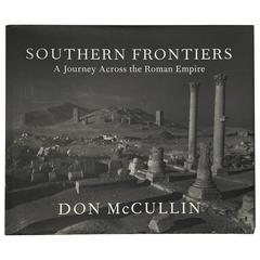
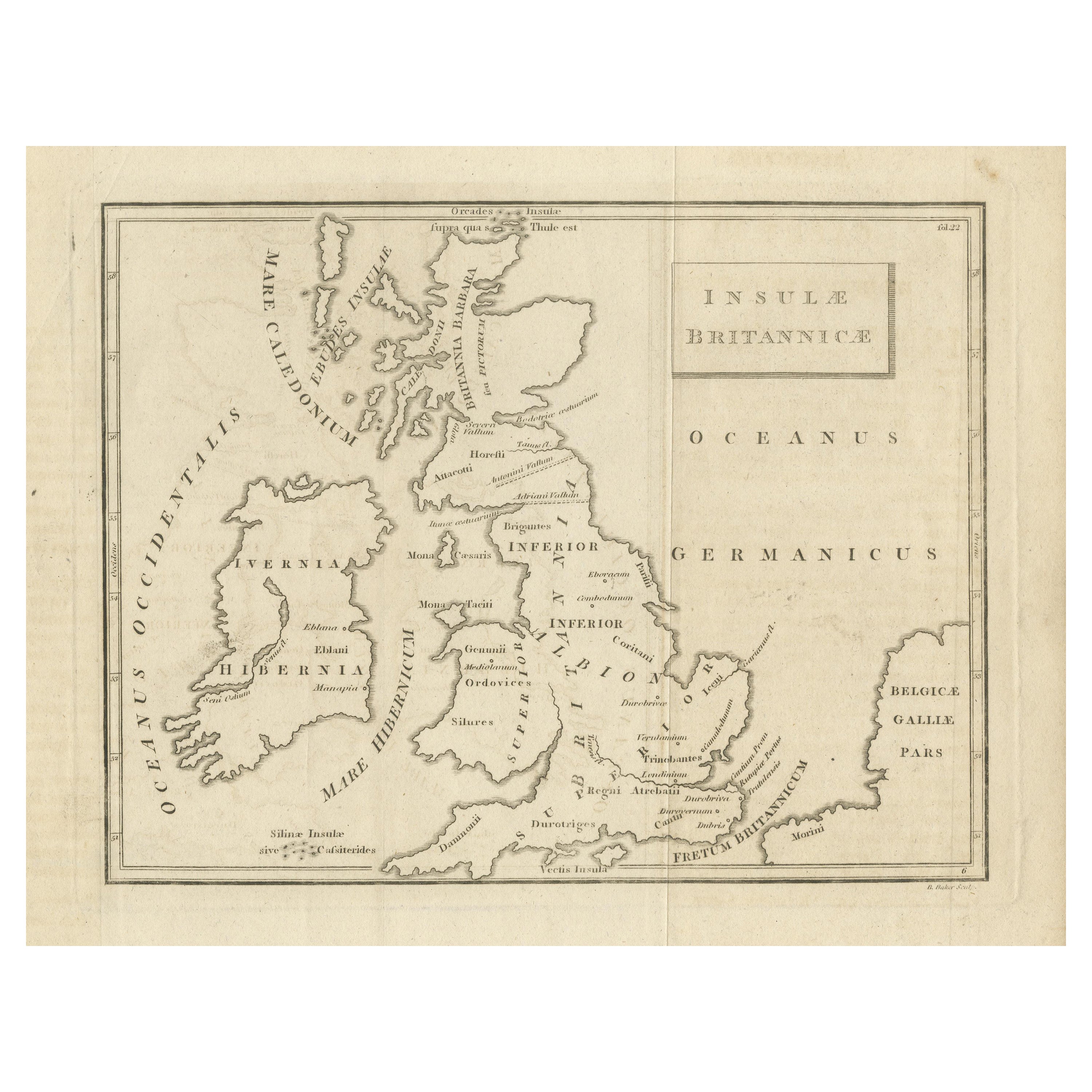
Don McCullin, Southern Frontiers, a Journey across the Roman Empire 'Signed'
View Similar Items


Want more images or videos?
Request additional images or videos from the seller
1 of 9
Don McCullin, Southern Frontiers, a Journey across the Roman Empire 'Signed'
About the Item
- Creator:Don McCullin (Photographer)
- Dimensions:Height: 11.82 in (30 cm)Width: 14.18 in (36 cm)Depth: 1.38 in (3.5 cm)
- Place of Origin:
- Period:
- Date of Manufacture:2010
- Condition:Fine.
- Seller Location:London, GB
- Reference Number:1stDibs: LU210236180063
About the Seller
5.0
Platinum Seller
These expertly vetted sellers are 1stDibs' most experienced sellers and are rated highest by our customers.
Established in 2011
1stDibs seller since 2016
570 sales on 1stDibs
Associations
LAPADA - The Association of Arts & Antiques DealersInternational Confederation of Art and Antique Dealers' Associations
More From This SellerView All
- Simon Barker, Punk's Dead, SignedBy Simon BarkerLocated in London, GBSigned published by Divus, 2013. From 1976-1978, the young photographer Simon Barker was a member of the Bromley Contingent. This compilation of previously unseen photographs by B...Category
Late 20th Century British Books
MaterialsPaper
- Patrick Hamilton, The Slaves of Solitude, First Edition BookLocated in London, GBPatrick Hamilton -The Slaves of Solitude Published by Constable, London 1947. First edition. Hamilton, cult author of Hangover Square and denizen of seedy pre-war literary Lond...Category
Vintage 1940s English Mid-Century Modern Books
MaterialsPaper
- The Sculptures of Picasso Photographs by Brassaï 1949 1st EditionBy Brassaï, Pablo PicassoLocated in London, GBFirst edition, published by Rodney Phillips & Co, 1949. A very important book of Picasso's sculptures beautifully photographed by the renowned French photographer Brassaï, a close f...Category
Mid-20th Century British Mid-Century Modern Books
MaterialsPaper
- Richard Henry Dana - Two Years Before the Mast, First Edition 1840Located in London, GBRichard Henry Dana - Two Years Before the Mast. A Personal Narrative of Life at Sea. First Edition, Harper & Brothers N.Y. 1840. A very important c...Category
Antique 1840s American Early Victorian Books
MaterialsPaper

- Edith Wharton The House of Mirth, First Edition, 1905Located in London, GBEdith Wharton. The House of Mirth. Published by Charles Scribner's Sons, New York, 1905. First edition, first issue This is the book that launched Whart...Category
Early 20th Century American Modern Books
MaterialsPaper
- "Aldous Huxley - The Doors of Perception" First Edition Book, 1954Located in London, GBPublished by Chatto & Windus UK 1st 1954. English dynastic novelist drops some mescaline, takes a 5000 mile car trip around the national parks of North West America, and then sits...Category
Mid-20th Century English Books
MaterialsPaper


You May Also Like
- Don McCullin, First Edition, Hardcover, 2001 , Art Photography BookBy Don McCullinLocated in Brugge, BEDon McCullin Published by Jonathan Cape, London, 2001 First edition Hardcover with dust cover. Don McCullin's iconic images come to life, capturing the raw essence of human emoti...Category
Early 2000s English Mid-Century Modern Books
MaterialsPaper
- Rail Across India A Photographic JourneyLocated in North Hollywood, CARail Across India: A Photographic Journey PET, Paul C.; Moorhouse, Geoffrey; Hollingsworth, Brian. Photographs of the scenery, trains, and social life of India are accompanied by a...Category
Late 20th Century Indian Agra Books
MaterialsPaper
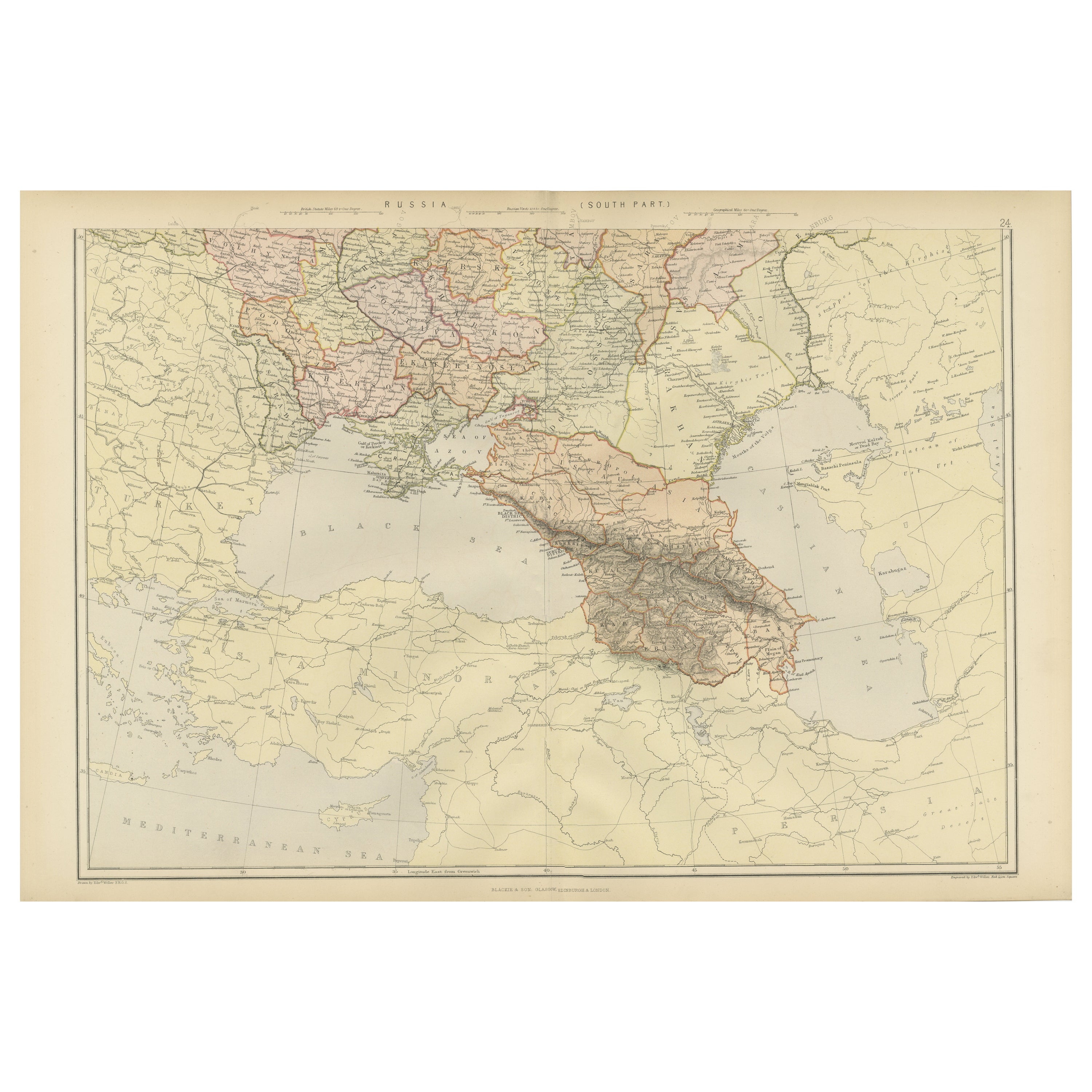
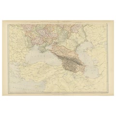
- Imperial Frontiers: A 19th Century Map of Southern Russia and the Caucasus, 1882Located in Langweer, NLThis map, sourced from the comprehensive 1882 atlas by Blackie & Son, delineates the southern part of Russia and the Caucasus region, reflecting the geopolitical contours and topogra...Category
Antique 1880s Maps
MaterialsPaper
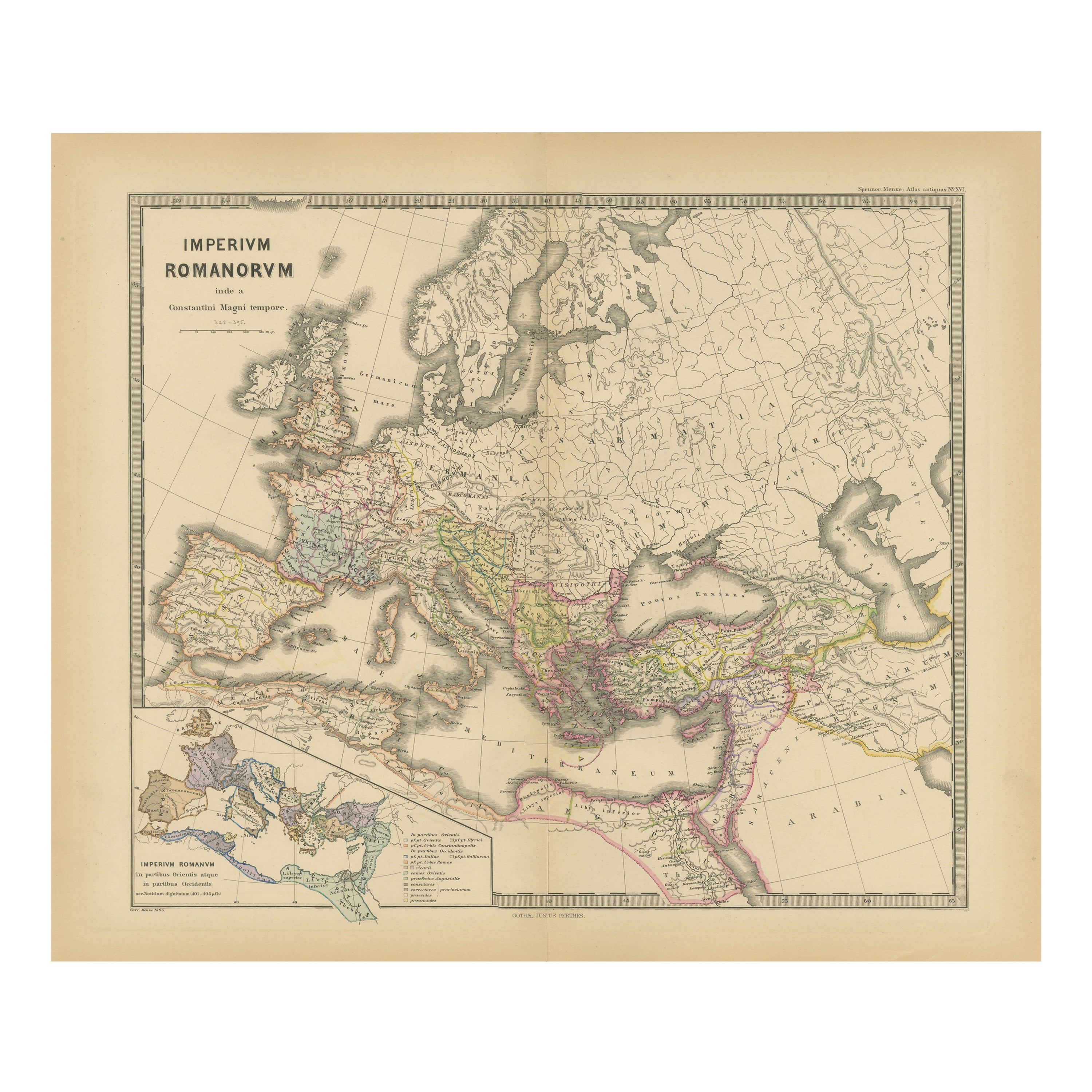
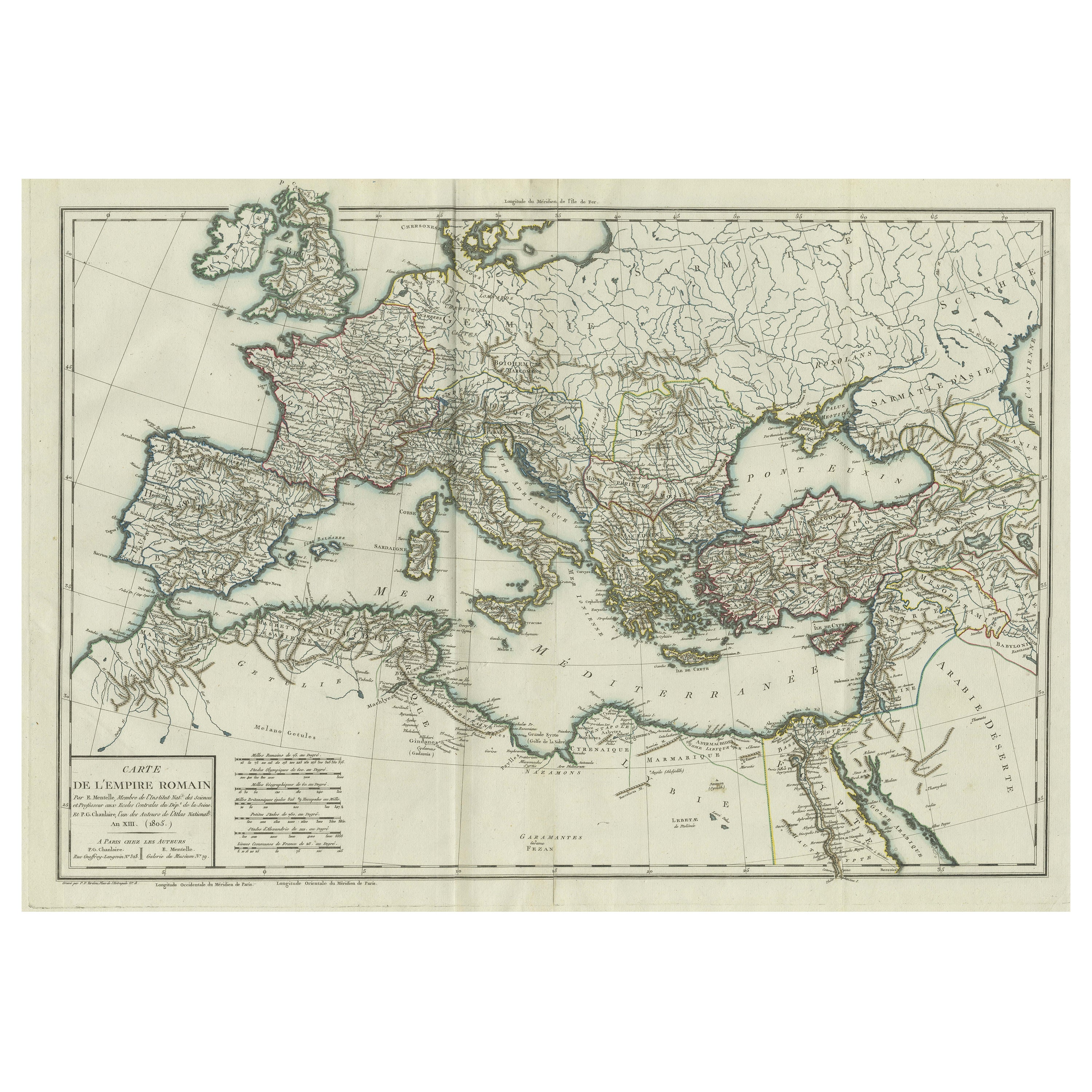
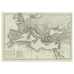
- Original Antique Map of the Roman EmpireLocated in Langweer, NLAntique map titled 'Carte de l'Empire Romain'. Original antique map of the Roman Empire, two sheets joined. Engraved by Pierre Francois Tardieu and published by Edme Mentelle, circa ...Category
Antique Late 18th Century Maps
MaterialsPaper
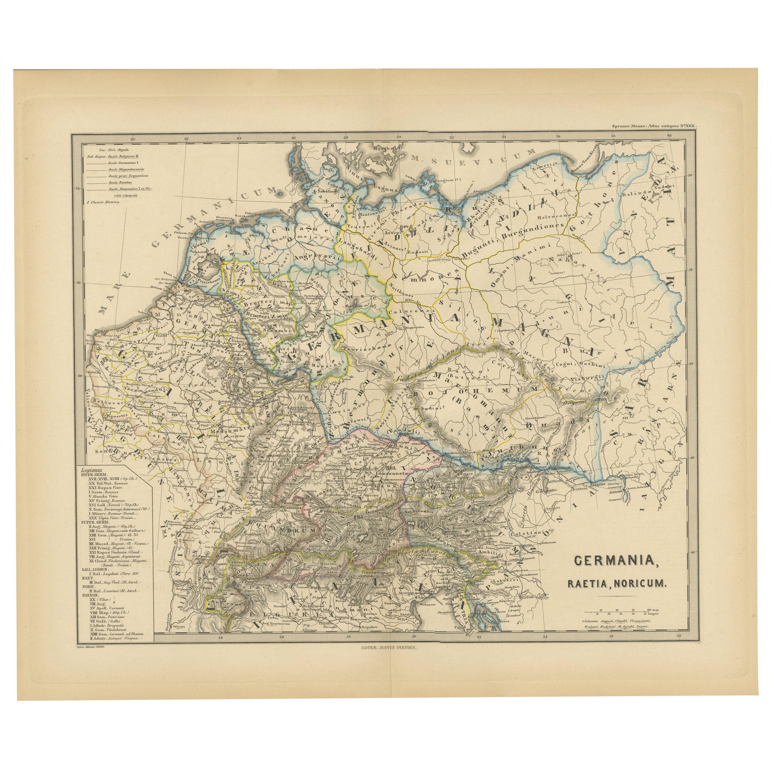
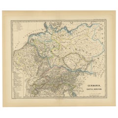
- Roman Frontiers Engraved: Germania, Raetia, and Noricum, Published in 1880Located in Langweer, NLThe map, titled "GERMANIA, RAETIA, NORICUM," depicts the regions of Germania, Raetia, and Noricum, which correspond to parts of modern-day Central and Eastern Europe, including areas of Germany, Austria, Switzerland, and the Balkans. Features of the map include: 1. **Regional Divisions**: The map is divided into the regions of Germania, Raetia, and Noricum, each likely differentiated by color or shading. 2. **Topography**: It details the mountain ranges, rivers, and other geographical features of the region. The Alps, which are central to Raetia, are prominently displayed. 3. **Roman Settlements and Roads**: The map likely marks Roman...Category
Antique 1880s Maps
MaterialsPaper
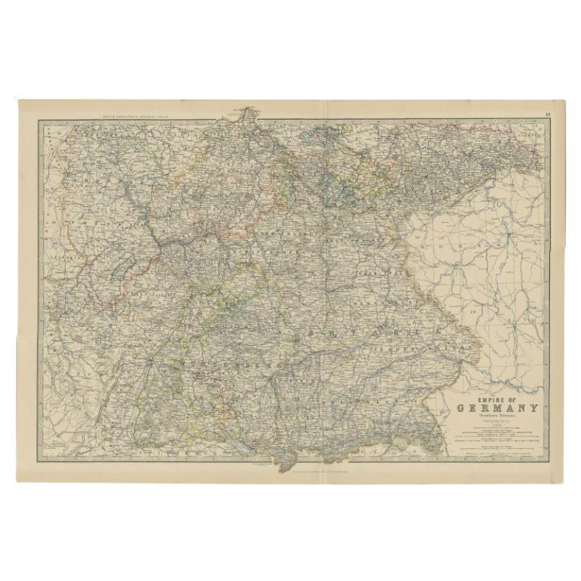
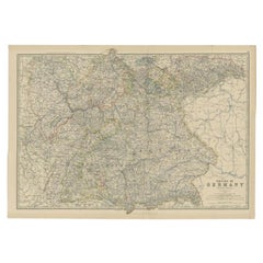
- Antique Map of the 'Southern' German Empire by Johnston, 1882Located in Langweer, NLAntique map titled 'Empire of Germany'. Old map of the southern portion of the German Empire. This map originates from 'The Royal Atlas of Modern Geography, Exhibiting, in a Series o...Category
Antique 19th Century Maps
MaterialsPaper
 $125 Sale Price20% Off


Recently Viewed
View AllMore Ways To Browse
M J Santana
Mapplethorpe Altars
Mia Flying
Michael K Jewels
Milt Hinton
Missoni Family Cookbook
Panton Clock
Parkett Magazine
Romanov Book
TASCHEN On Sale
The Poetical Works Of Henry Wadsworth Longfellow
Rubaiyat Of Omar Khayyam
Keller Mid Century
Car Book Hardcover
English Grammar
Atlas Shrugged
Holt Antiques
Safari Photographs