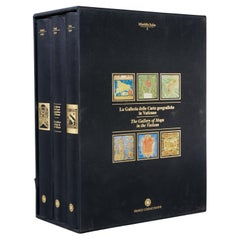
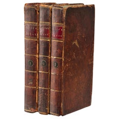
La Galleria Delle Carte Geografiche in Vaticano, Maps in the Vatican, 3 Vols
View Similar Items


Want more images or videos?
Request additional images or videos from the seller
1 of 10
La Galleria Delle Carte Geografiche in Vaticano, Maps in the Vatican, 3 Vols
About the Item
- Similar to:Fra Egnazio Danti (Illustrator)
- Dimensions:Height: 13 in (33.02 cm)Width: 5.5 in (13.97 cm)Depth: 10 in (25.4 cm)
- Sold As:Set of 3
- Style:Renaissance (In the Style Of)
- Materials and Techniques:
- Place of Origin:
- Period:1990-1999
- Date of Manufacture:1994
- Condition:Wear consistent with age and use.
- Seller Location:Morristown, NJ
- Reference Number:1stDibs: LU5990230416092
About the Seller
4.9
Platinum Seller
These expertly vetted sellers are 1stDibs' most experienced sellers and are rated highest by our customers.
Established in 2020
1stDibs seller since 2021
120 sales on 1stDibs
More From This SellerView All
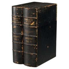
- The Pictorial Field-Book of the Revolution, 1851, (2) vols., Benson J. LossingBy S. Harper BrothersLocated in Morristown, NJ(2) vols., by Benson J. Lossing. ...Illustrations, by Pen and Pencil, of the History, Biography, Scenery, Relics, and Traditions of the War for Independence. Two volumes, the first i...Category
Antique 1850s American Victorian Books
MaterialsLeather, Paper
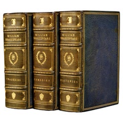
- The Works of William Shakespeare, Mayfair Edition Bound in English Niger LeatherBy Albert MaurinLocated in Morristown, NJThe Works of William Shakespeare - The Definitive Text, With Notes and Glossary, The Mayfair Edition, New York Three small octavo volu...Category
Vintage 1920s American Art Nouveau Books
MaterialsGold
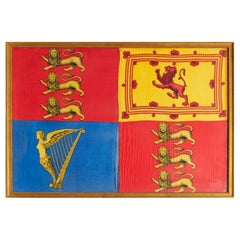
- Antique Royal Standard of the United Kingdom in Giltwood Frame and Under GlassLocated in Morristown, NJAn antique Royal Standard of the United Kingdom, possibly by Benjamin Edgington, London. The fabric is in a giltwood frame under glass. Each of the four quadrants on the flag represe...Category
Antique 1830s English British Colonial Historical Memorabilia
MaterialsFabric, Glass, Wood
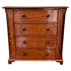
- American 4 Drawer Antique Salesman's Sample Cherry Veneered ChestLocated in Morristown, NJ19th c., American, four drawer miniature chest with Sheraton style pulls, on scalloped blocked feet. This attractive salesman sample is characterful with a lovely deep aged cherry co...Category
Antique 19th Century American Sheraton Models and Miniatures
MaterialsWood, Cherry
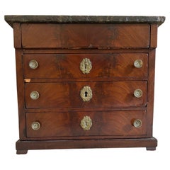
- Miniature 19th Century Victorian Figured Mahogany Chest of DrawersLocated in Morristown, NJ19th c. Charming antique miniature chest of drawers. The chest has a marble top. The case is figured mahogany, with four stacked drawers, the ...Category
Antique Mid-19th Century English Late Victorian Models and Miniatures
MaterialsMarble, Brass
- John Locke, Essay Concerning Human Understanding, 3 Volumes 1798 and 1801Located in Morristown, NJ(3) Vols., John Locke, Esq. An Essay Concerning Human Understanding; with Thoughts on the Conduct of the Understanding. Printed for Mundell & Son and J. Mundell, 1798 (Vol. I) and 17...Category
Antique 1790s Scottish George III Books
MaterialsGold Leaf
You May Also Like
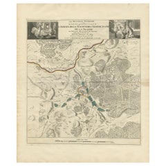
- 1860 Large Map "Carte De La Siberie Russie D'asie, " Ric.R0001Located in Norton, MALarge 1860 map "Carte De La Siberie Russie D'Asie," R-0001 " Authentic" - 1860 map "Carte De La Siberie Russie D'Asie," Dimension: Paper: 68 cm W x 51 cm H ; Sight: 51cm W x 4...Category
Antique 19th Century Unknown Maps
MaterialsPaper
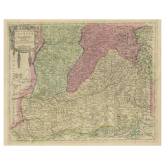
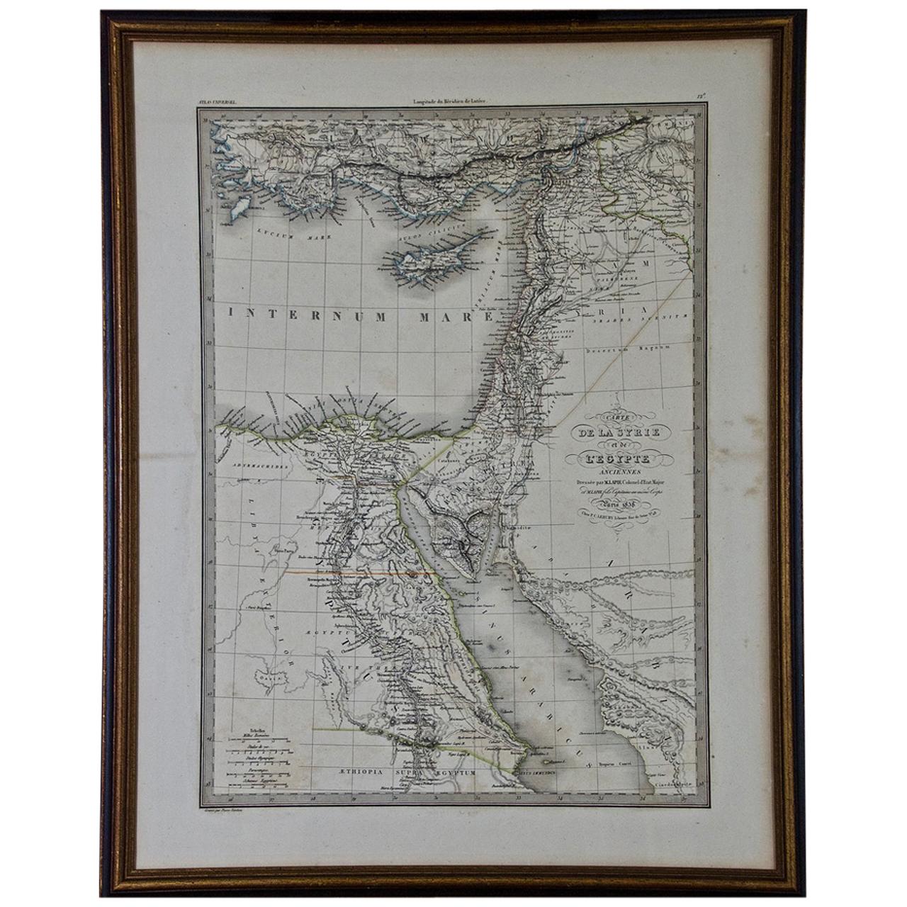
- Map of the Holy Land "Carte de la Syrie et de l'Egypte" by Pierre M. LapieBy Pierre M. LapieLocated in Alamo, CAAn early 19th century map of ancient Syria and Egypt entitled "Carte de la Syrie et de l'Egypte anciennes/dressée par M. Lapie, Colonel d'Etat Major, et...Category
Antique Early 19th Century French Maps
MaterialsPaper
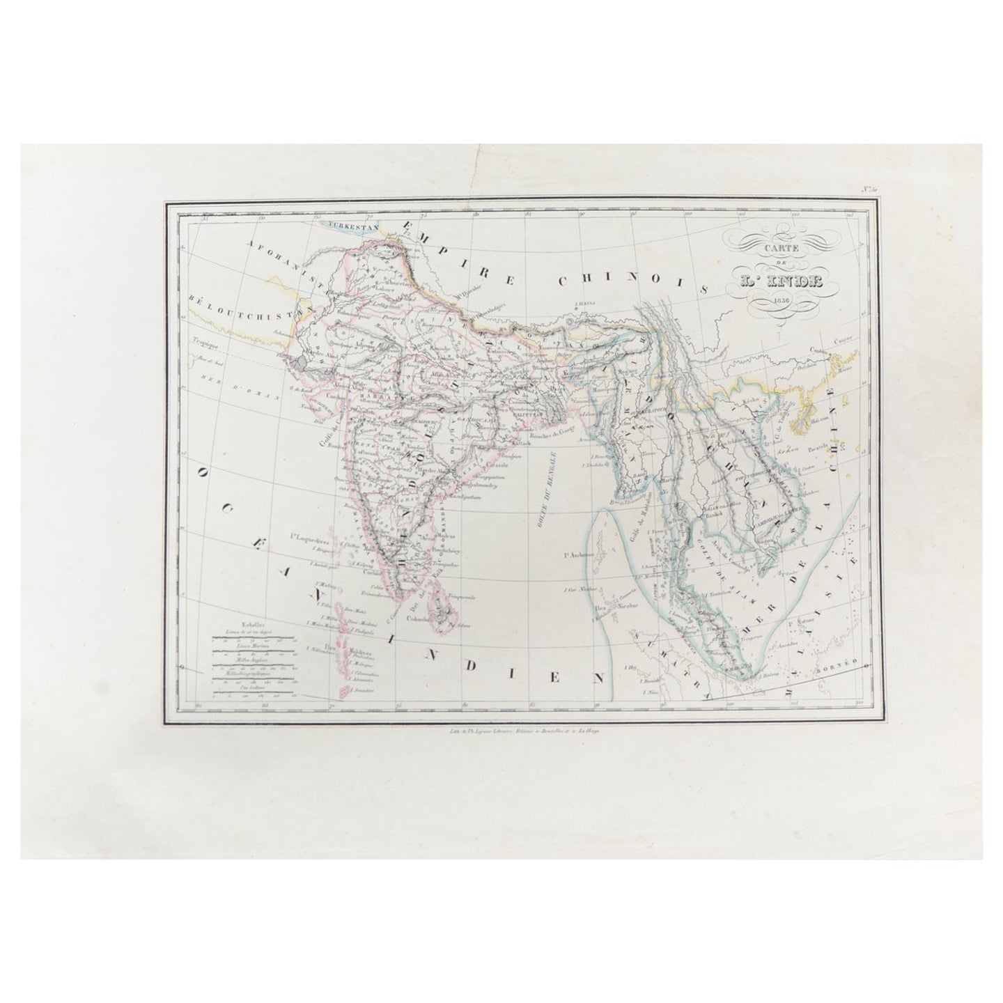
- Antique Carte de L'Inde Myanmar, Malaysia Vietnam Map of Asia the Chinese EmpireLocated in Amsterdam, Noord HollandAntique Carte de L'Inde Myanmar, Malaysia Vietnam Map of Asia the Chinese Empire Very nice map of Asia. Additional information: Type: Map Country of Man...Category
Antique 18th Century European Maps
MaterialsPaper
 $584 Sale Price20% Off
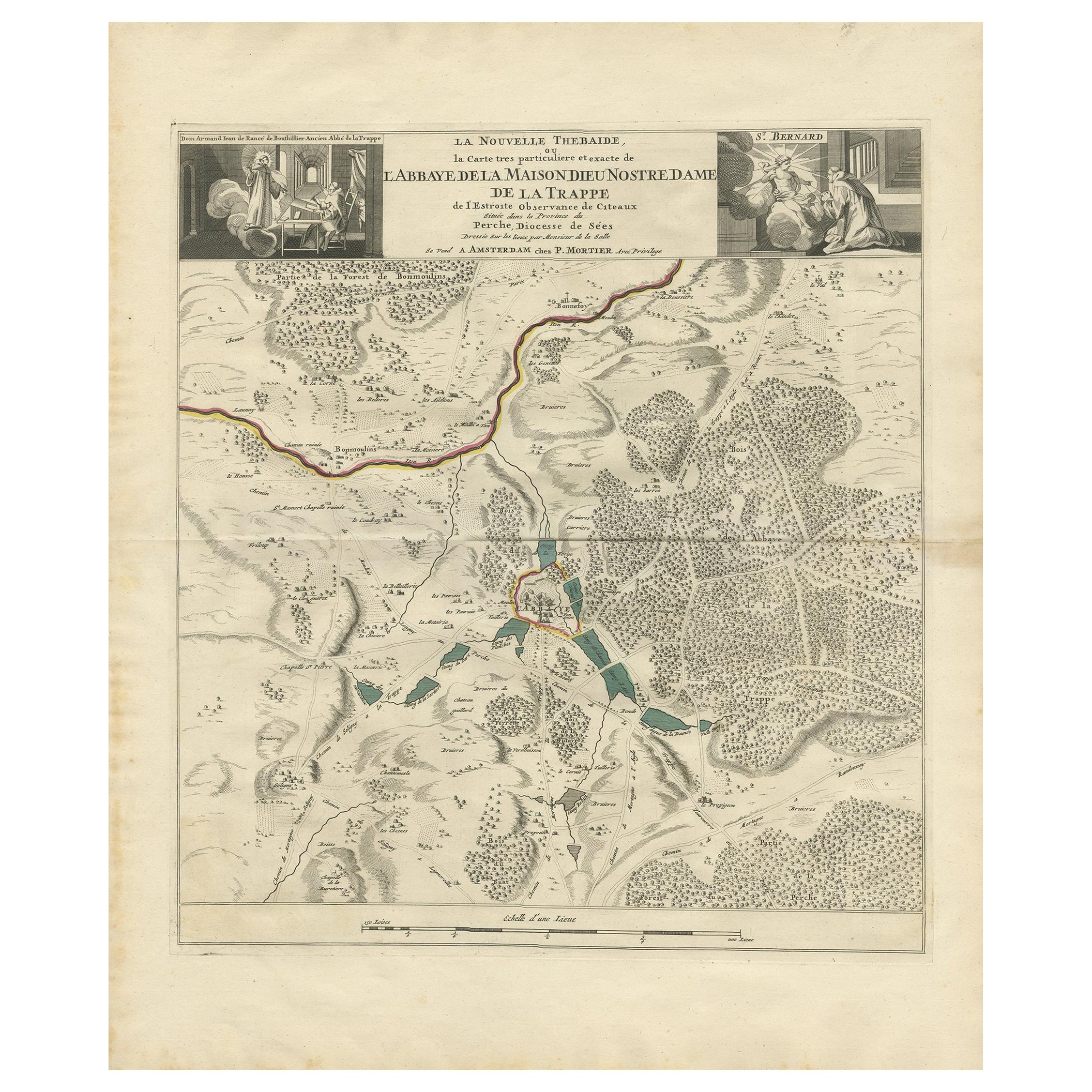
 - Antique Map of the Area around the Abbey in Soligny-la-Trappe 'c.1710'Located in Langweer, NLAntique map titled 'La nouvelle Thebaide ou la Carte tres particuliere et exacte de l'Abbaye de la Maison Dieu Nostre Dame de la Trappe (..)'. Rare, original map of the area around t...Category
Antique Early 18th Century Maps
MaterialsPaper
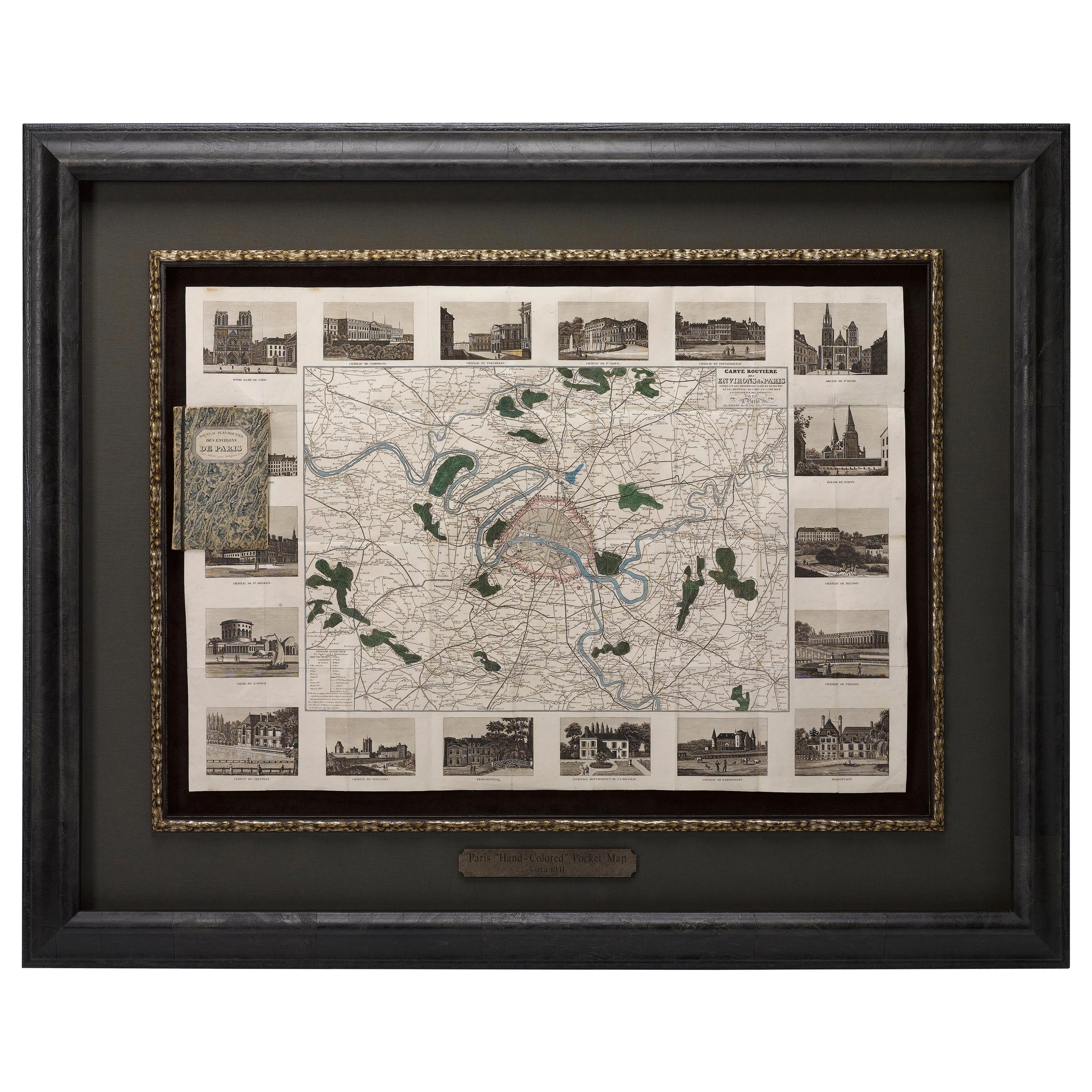
- Antique Map of Paris, "Carte Routiere des Environs de Paris" 1841Located in Colorado Springs, COThis beautiful hand-colored road map of Paris was published in 1841. The map shows Paris and the surrounding area in a folding pocket map. Organized and detailed for travelers, this ...Category
Antique 1840s French Maps
MaterialsPaper
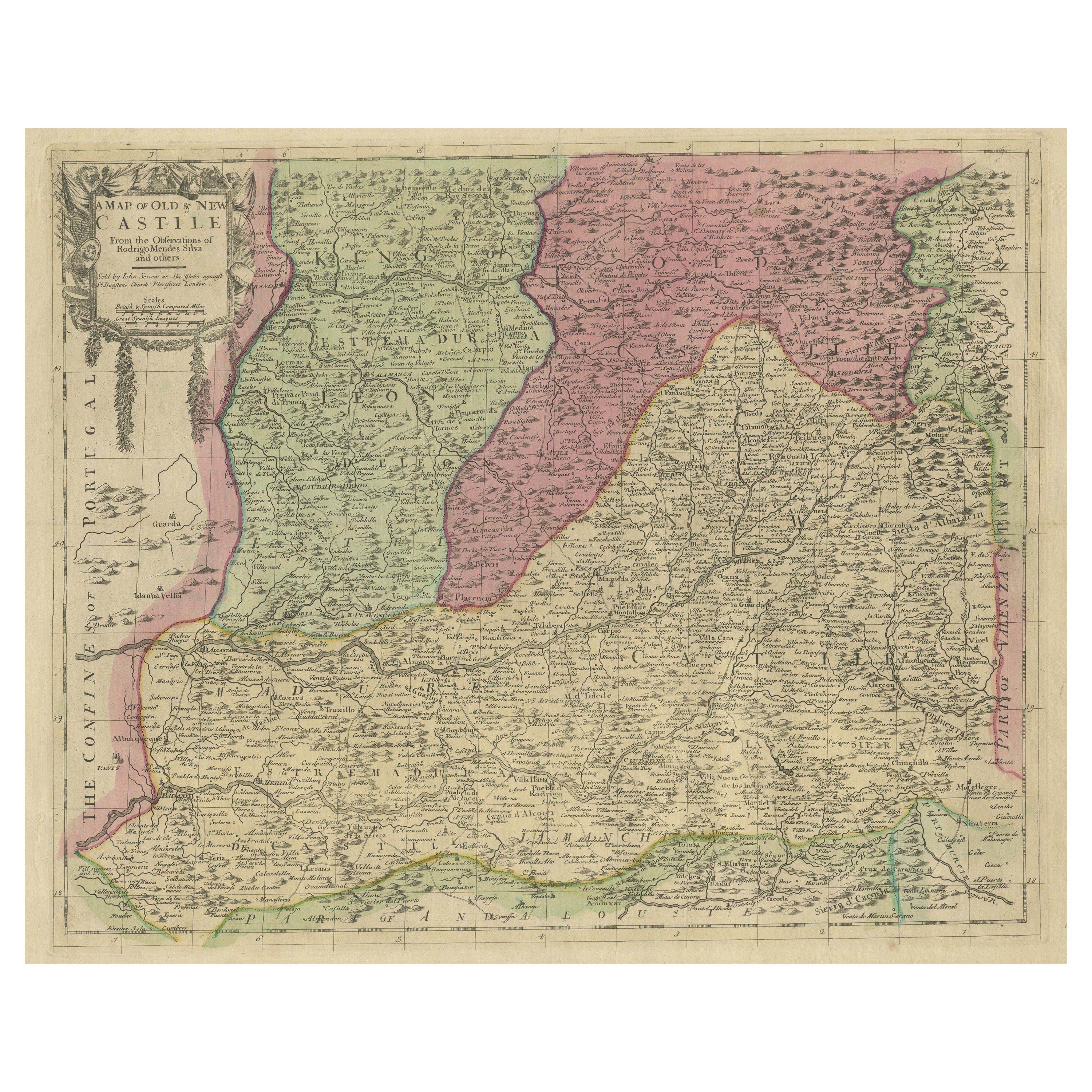
- Senex Map of Castile, Leon & La Mancha in The Spanish Heartland, 1714Located in Langweer, NLThis antique map, titled "A Map of Old & New Castile from the Observations of Rodrigo Mendes Silva and others," depicts the regions of Old Castile and New Castile in Spain, along wit...Category
Antique Early 18th Century Maps
MaterialsPaper