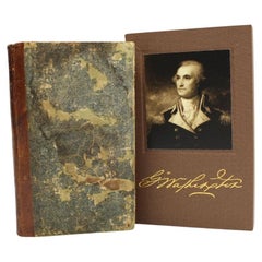
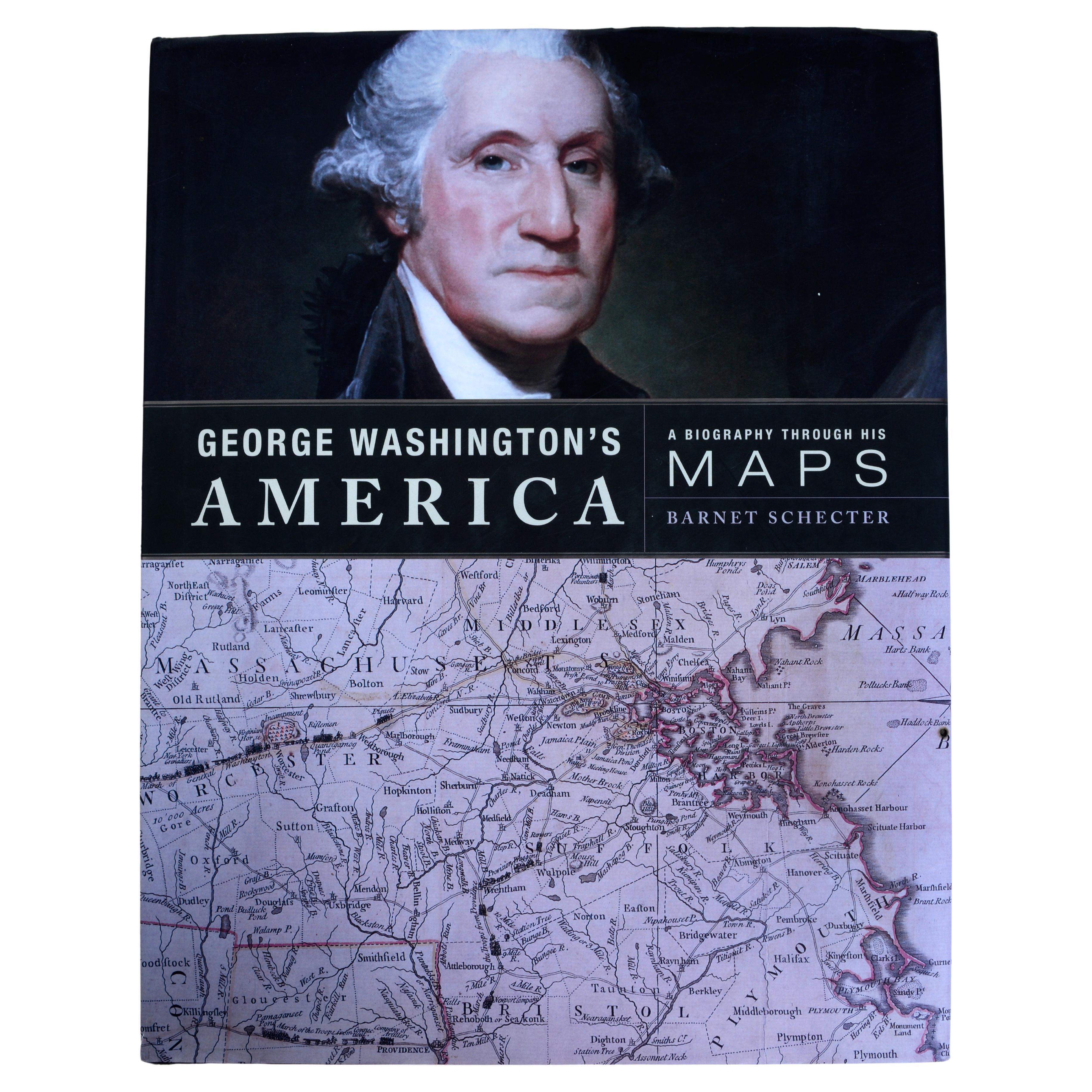
Washington's Farewell Address to the People of the United States, 1812
View Similar Items


Want more images or videos?
Request additional images or videos from the seller
1 of 9
Washington's Farewell Address to the People of the United States, 1812
About the Item
- Dimensions:Height: 5.82 in (14.79 cm)Width: 3.75 in (9.53 cm)Depth: 0.82 in (2.09 cm)
- Style:Federal (Of the Period)
- Materials and Techniques:
- Place of Origin:
- Period:
- Date of Manufacture:1812
- Condition:Repaired: Light conservation touch-ups to boards by Felton Bookbinding Ltd. in Ontario, Canada in November of 2024. Additions or alterations made to the original: New archival slipcase by Felton Bookbinding Ltd. in Ontario, Canada in November of 2024. Wear consistent with age and use. Minor losses. Minor structural damages. Minor fading.
- Seller Location:Colorado Springs, CO
- Reference Number:Seller: BK11431stDibs: LU909742796022
About the Seller
4.9
Platinum Seller
Premium sellers with a 4.7+ rating and 24-hour response times
Established in 2010
1stDibs seller since 2011
452 sales on 1stDibs
Typical response time: 1 hour
Authenticity Guarantee
In the unlikely event there’s an issue with an item’s authenticity, contact us within 1 year for a full refund. DetailsMoney-Back Guarantee
If your item is not as described, is damaged in transit, or does not arrive, contact us within 7 days for a full refund. Details24-Hour Cancellation
You have a 24-hour grace period in which to reconsider your purchase, with no questions asked.Vetted Professional Sellers
Our world-class sellers must adhere to strict standards for service and quality, maintaining the integrity of our listings.Price-Match Guarantee
If you find that a seller listed the same item for a lower price elsewhere, we’ll match it.Trusted Global Delivery
Our best-in-class carrier network provides specialized shipping options worldwide, including custom delivery.More From This Seller
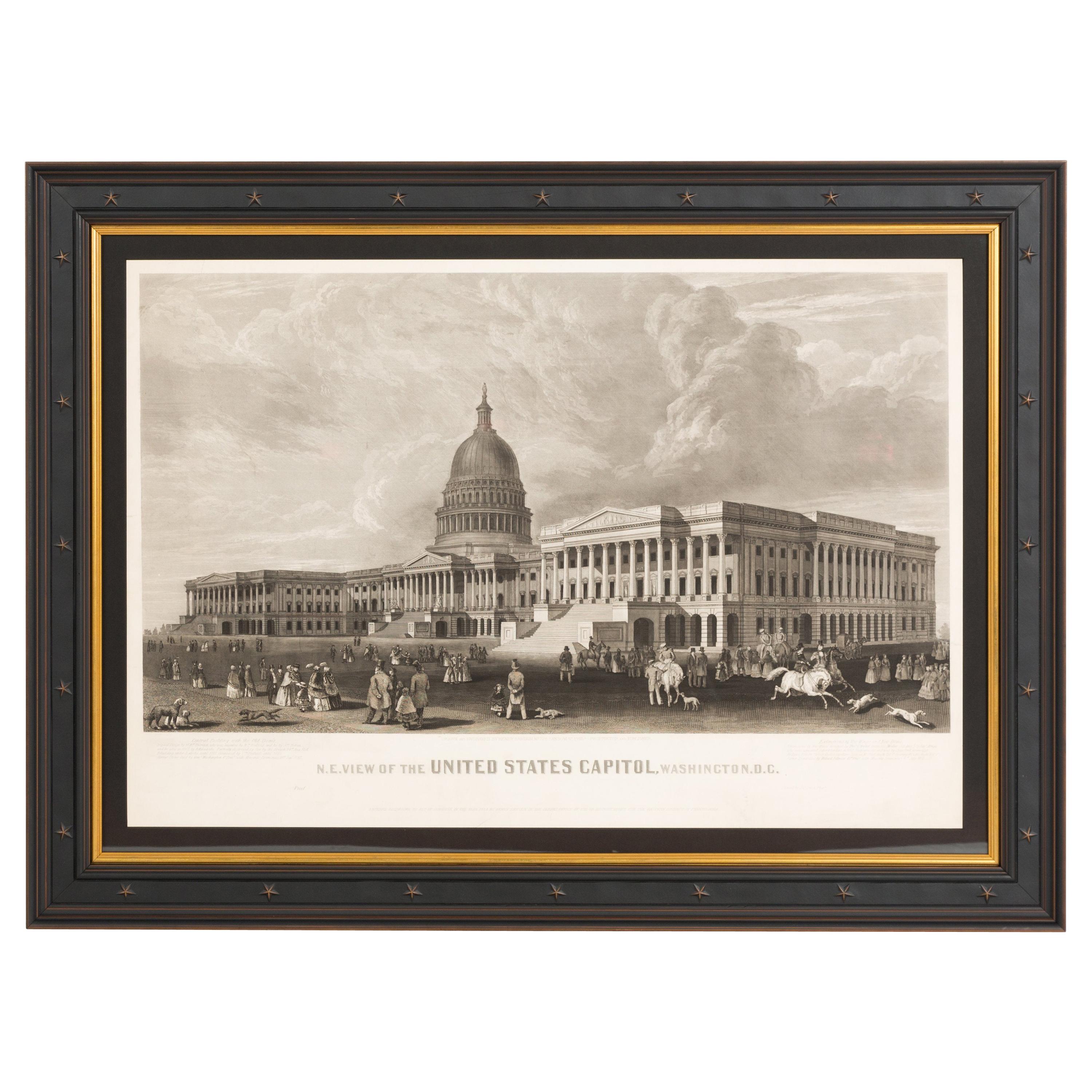
View AllN.E. View of the United States Capitol, Washington, DC Antique Proof Print 1858
Located in Colorado Springs, CO
This engraved print shows a view of the United States Capitol Building, in Washington, D.C. The print depicts the neoclassical building from the northeast orientation, with a bustling street scene in front. The steel engraving is a proof printing, drawn and engraved by Henry Sartain and published in 1858.
Plans began in May 1854 to build a new cast-iron dome for the United States Capitol. The then-architect of the Capitol Thomas Walter and his team were sold on the aesthetics of a new dome, as well as the utility of a fire-proof one. A year later, on March 3, 1855, President Franklin Pierce...
Category
Antique 1850s American Prints
Materials
Paper

1812 United States Map, by Pierre Tardieu, Antique French Map Depicting the U.S.
By Pierre François Tardieu
Located in Colorado Springs, CO
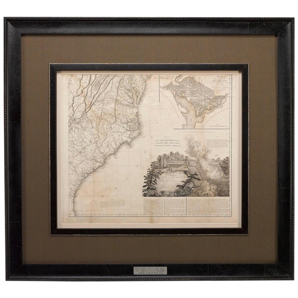
1812 "United States of Nth America -- Carte des Etats-Unis De L'Amerique Septentrionale" Two-Sheet Map by Tardieu
This attractive map, published in Paris in 1812, is one of the most rare large format maps from the period. It features a view of the East Coast of the U.S. from Maryland to just below South Carolina. Additionally, Ellicott’s plan for the City of Washington D.C. is included at the top right and an illustration of Niagara Falls is shown at the bottom right with a description in both French and English. This extremely detailed map not only depicts the mountainous regions of the southeastern U.S., but also includes names of regions, rivers, and towns.
Based on the first state of Arrowsmith’s 4-sheet map of the United States, this map is completely engraved by Tardieu in Paris and showcases high quality engravings. This detailed map of the recently independent United States includes one of the largest and earliest examples of the Ellicott plan of Washington DC.
The artist, Pierre François Tardieu (PF Tardieu) was a very well-known map engraver, geographer, and illustrator. Awarded a bronze medal by King Louis-Phillipe for the accuracy and beauty of his map-making, Tardieu produced many fine works including maps of Louisiana...
Category
Antique 1810s French Maps
Materials
Paper

1859 "Map of the United States of America..." by J. H. Colton
By J.H. Colton
Located in Colorado Springs, CO
Presented is an 1859 “Map of the United States of America, the British Provinces, Mexico, the West Indies and Central America with Part of...
Category
Antique 1850s American Maps
Materials
Paper

1939 "A Good-Natured Map of the United States" by Greyhound
Located in Colorado Springs, CO
Presented is an original 1939 map, titled “A Good-Natured Map of the United States Setting Forth the Services of the Greyhound Lines and a Few Principal Connecting Bus Lines.” This brightly colored pictographic map was one of several similar United States maps...
Category
Vintage 1930s American Art Deco Maps
Materials
Paper

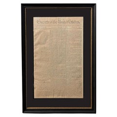
1791 Gazette of The United States, with Plans for the Capital City of Washington
Located in Colorado Springs, CO
Presented is a very early description of the City of Washington, as the planned Federal capital city. The article, written by an anonymous "Spectator,” was published in the October 8...
Category
Antique 1790s American Federal Prints
Materials
Paper
"Lady Washington's Reception, " Engraved by A. H. Ritchie, Antique Print, 1865
Located in Colorado Springs, CO
This 1865, hand-colored engraving by A. H. Ritchie is entitled Lady Washington's Reception and is based on Daniel F. Huntington's original painting "Th...
Category
Antique 1860s American Prints
Materials
Paper

You May Also Like
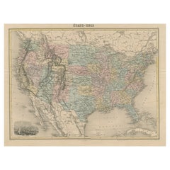
Antique Map of the United States with Vignette of Washington
Located in Langweer, NL
Antique map titled 'États-Unis'. A very attractive and detailed late 19th century map of the United States, with a fine decorative vignette of Washington. The extensive railway netwo...
Category
Antique Late 19th Century Maps
Materials
Paper
$445 Sale Price
20% Off
Small Map of the United States
Located in Langweer, NL
Antique map titled 'Amérique septe. Physique'. Small map of the United States. lithographed by C. Callewaert brothers in Brussels circa 1870.
Category
Antique Mid-19th Century Maps
Materials
Paper

$69 Sale Price
20% Off
Antique Map of The United States of North America, Pacific States, 1882
Located in Langweer, NL
The map is from the same 1882 Blackie Atlas and focuses on the Pacific States of the United States of America during that period. Here are some details and historical context about t...
Category
Antique 1880s Maps
Materials
Paper

$231 Sale Price
20% Off
Free Shipping
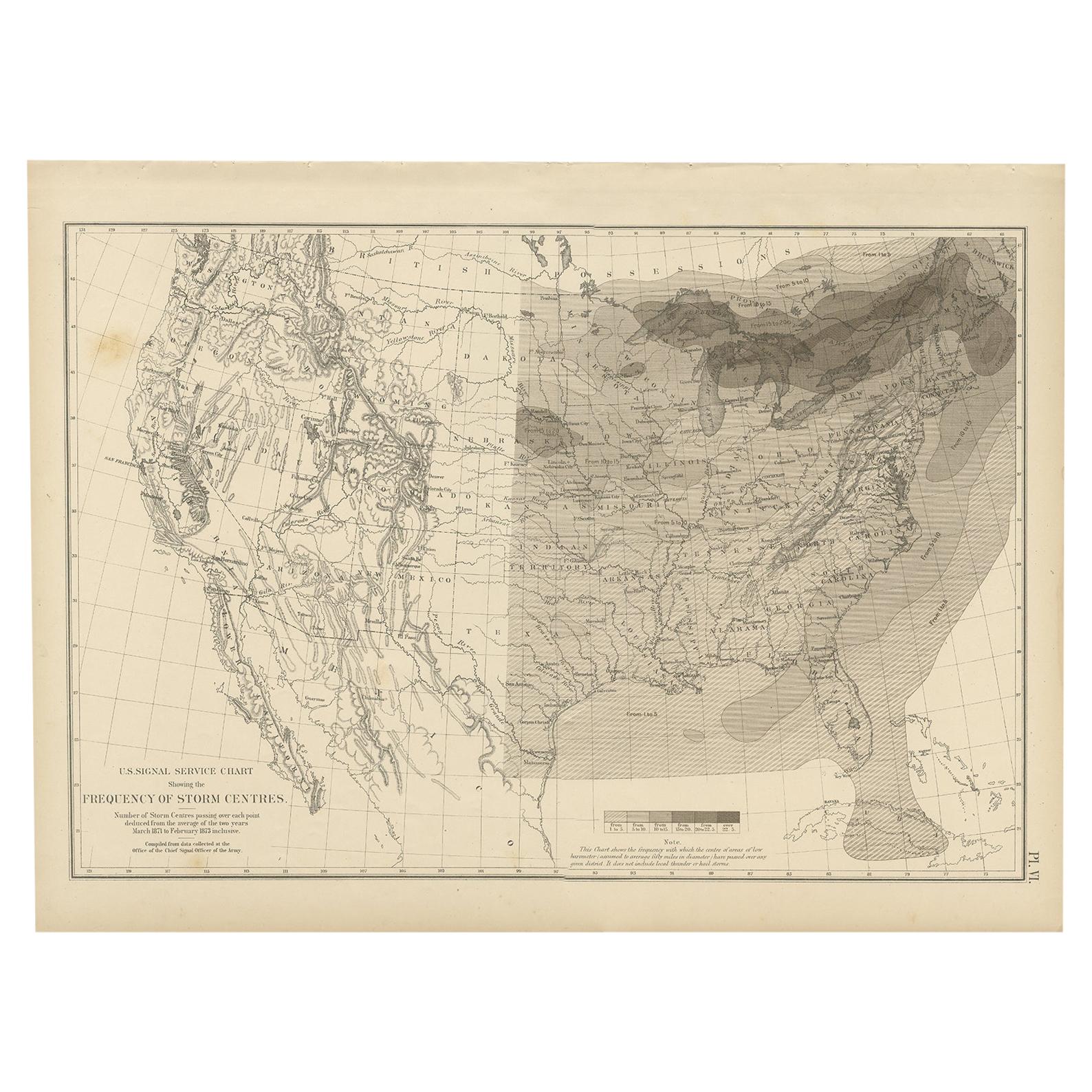
Antique Chart of the Storm Centres of the United States, 1874
Located in Langweer, NL
Antique chart titled 'U.S. Signal Service chart showing the frequency of storm centres. Number of storm centres passing over each point deduced from the average of the two years Marc...
Category
Antique Late 19th Century Maps
Materials
Paper

$370 Sale Price
20% Off
Framed 1839 Hand Colored Map of the United States
Located in Stamford, CT
Framed hand colored map of the United States of America from 1839. Newly framed in a giltwood frame.
Category
Antique 1830s American American Classical Maps
Materials
Giltwood, Paper, Glass

Framed 1820s Hand Colored Map of the United States
Located in Stamford, CT
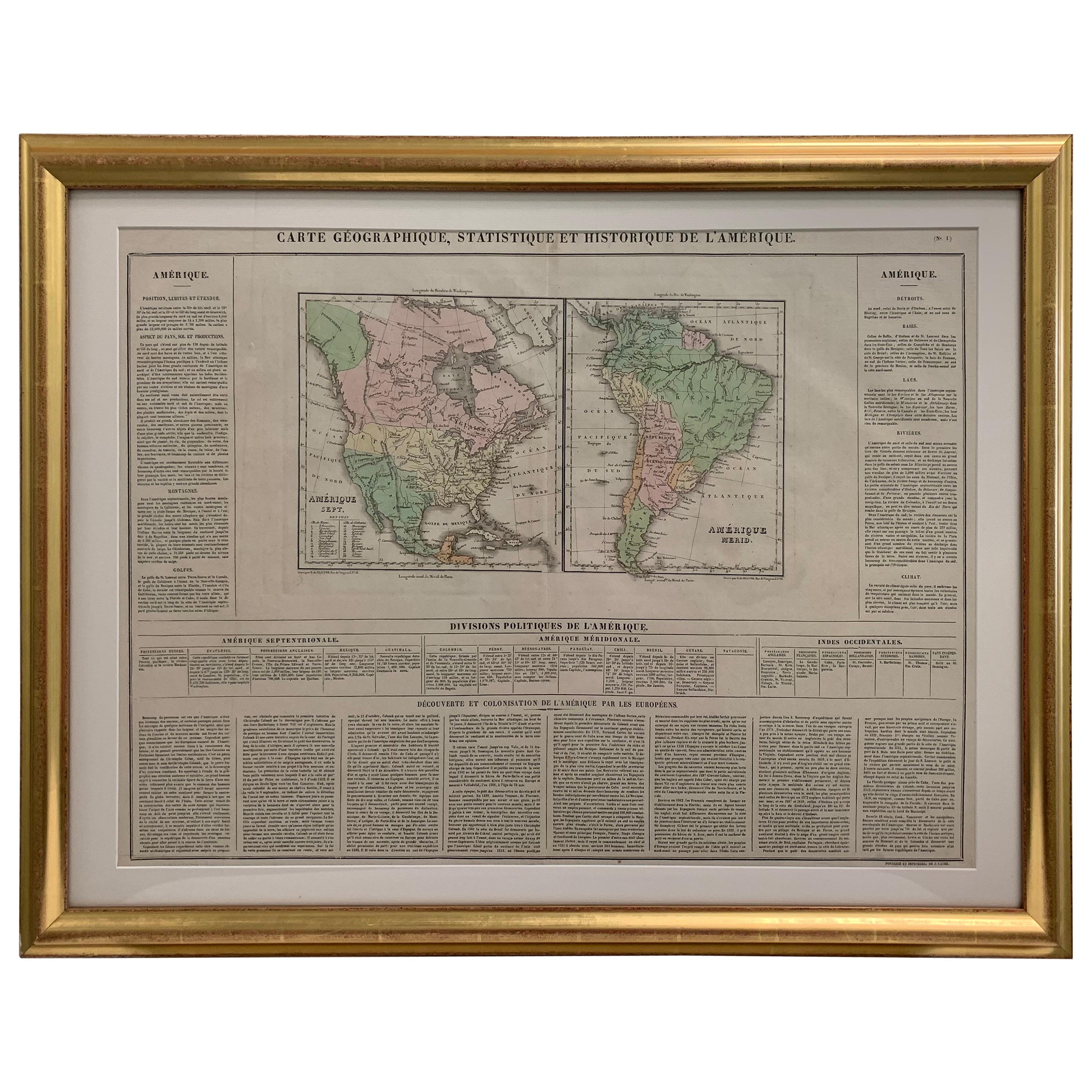
Framed 1820s hand colored map photos of North America and South America. As found framed in giltwood frame.
Category
Antique 1820s American Spanish Colonial Maps
Materials
Giltwood, Paper, Glass

Recently Viewed
View AllMore Ways To Browse
Antique Pamphlets
Antique Broadside
American Federal Portrait
Federalist Furniture
The Federalist Furniture
The Federalist
Federalist Paper
Ox Chair
Pair Red Dining Chairs
Piano Coffee Table
Pink Saucers
Portrait Wall Plaque
Portuguese Azulejos Tiles
Pull Up Chair
Rattan Table And 2 Chairs
Rectangular Pillow
Retro Vanity Dressing Table
Reverse Chairs