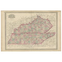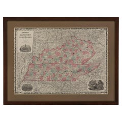
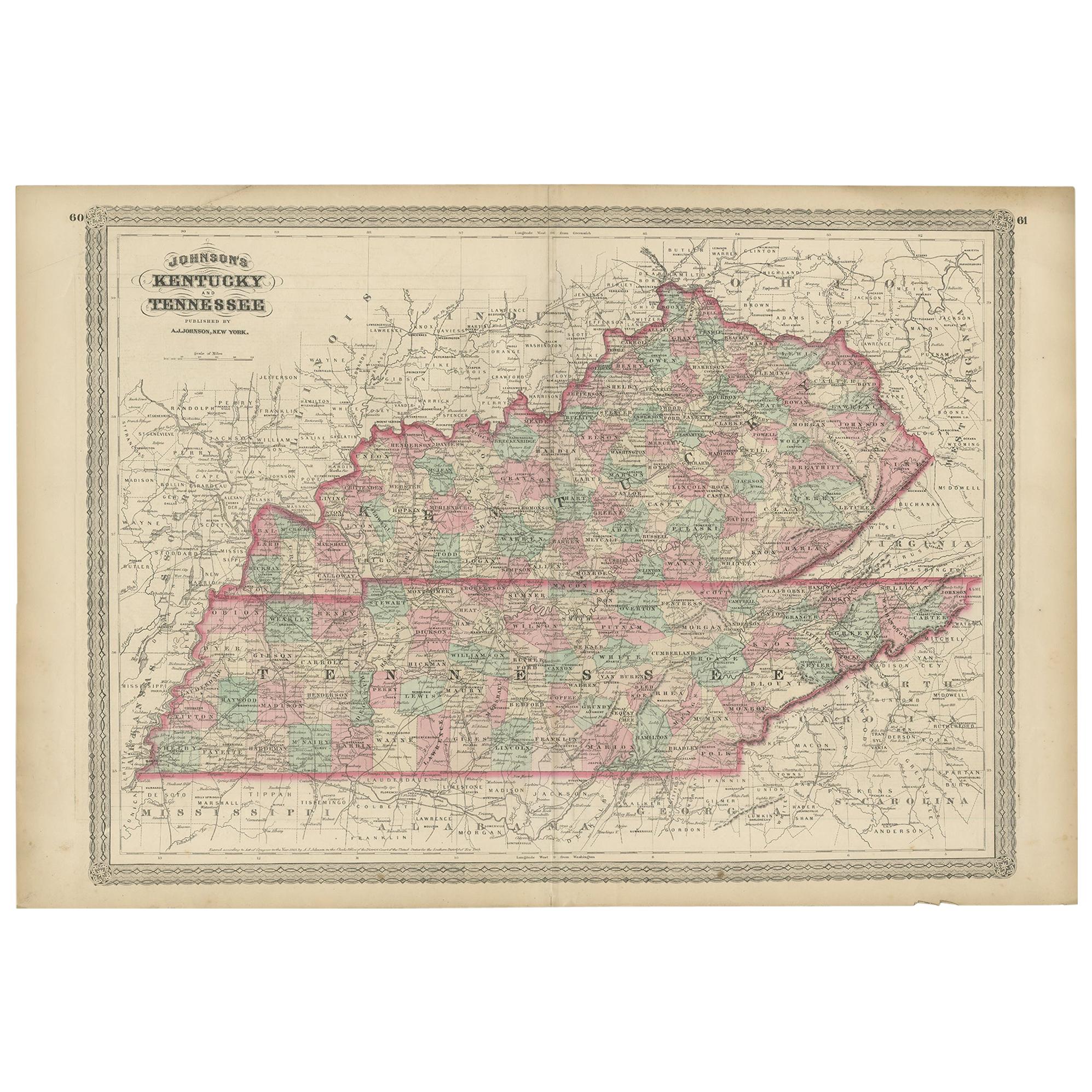
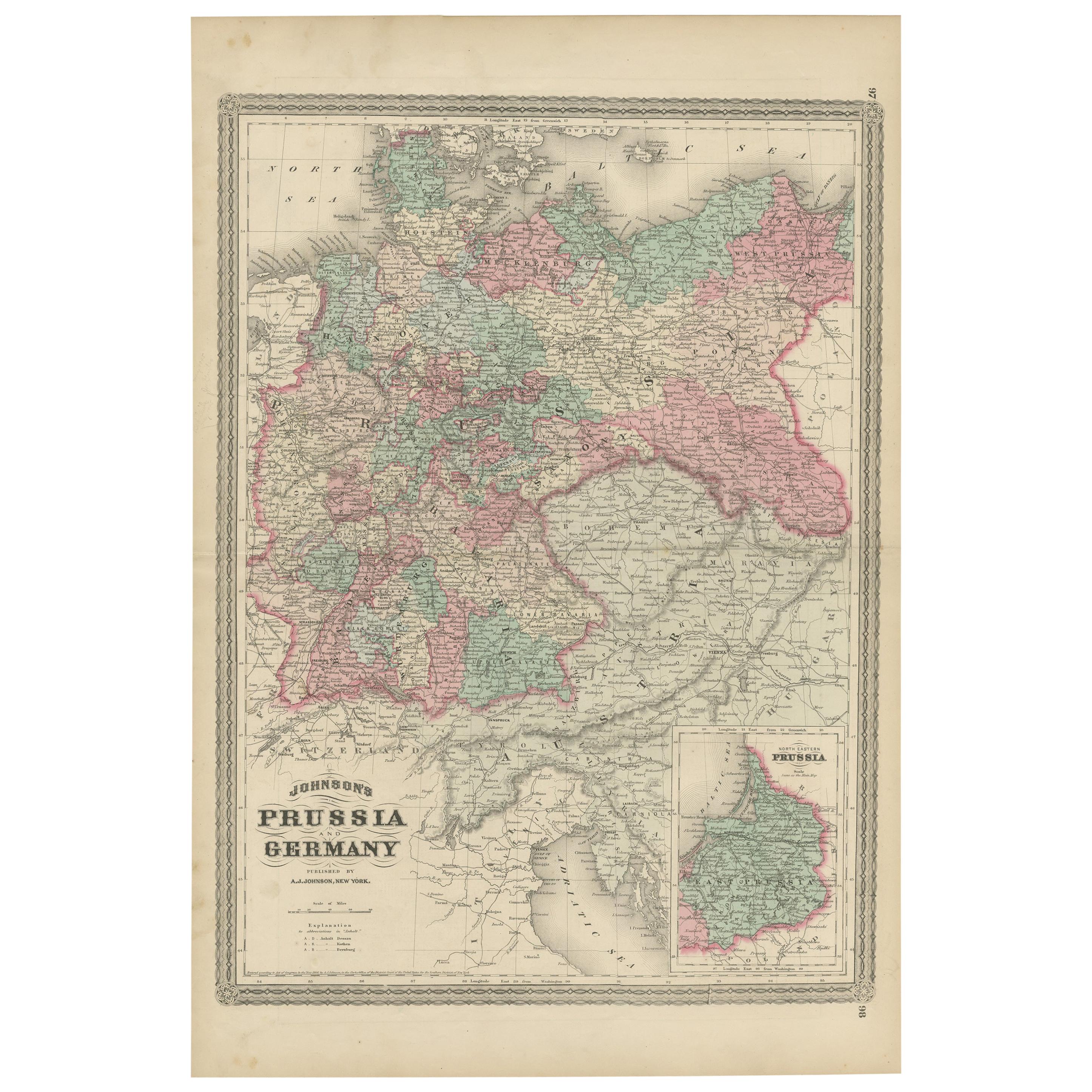
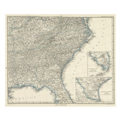
1865 "Johnson's Kentucky and Tennessee" Map by Johnson and Ward
View Similar Items


Want more images or videos?
Request additional images or videos from the seller
1 of 7
1865 "Johnson's Kentucky and Tennessee" Map by Johnson and Ward
About the Item
- Dimensions:Height: 22.5 in (57.15 cm)Width: 30.5 in (77.47 cm)Depth: 0.75 in (1.91 cm)
- Materials and Techniques:
- Period:
- Date of Manufacture:1865
- Condition:Additions or alterations made to the original: Map has been artfully and archivally framed with acid-free mats, UV conservation clear glass, and a custom-built wooden frame. Framing by Rio Grande Framing Co in Colorado Springs, CO in October of 2023. Wear consistent with age and use. Toning, few areas of foxing.
- Seller Location:Colorado Springs, CO
- Reference Number:Seller: M3481stDibs: LU909738901202
About the Seller
4.9
Platinum Seller
These expertly vetted sellers are 1stDibs' most experienced sellers and are rated highest by our customers.
Established in 2010
1stDibs seller since 2011
400 sales on 1stDibs
More From This SellerView All
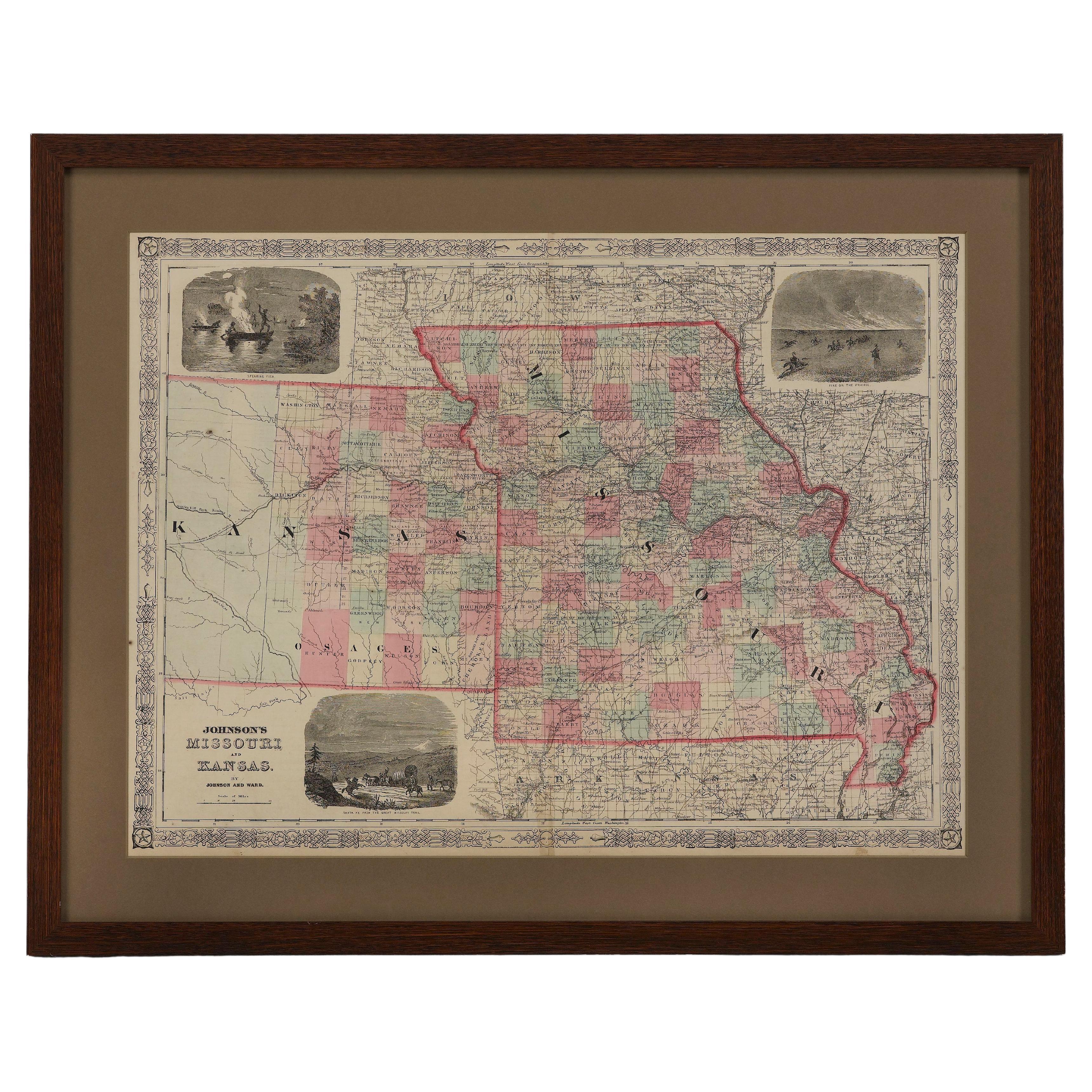
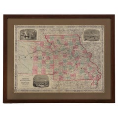
- 1865 "Johnson's Missouri and Kansas" Map by Johnson and WardLocated in Colorado Springs, COPresented is an original 1865 "Johnson's Missouri and Kansas” map. This map was issued as pages 59 and 60 in the 1865 edition of “Johnson's New Illustrated ...Category
Antique Mid-19th Century Maps
MaterialsPaper
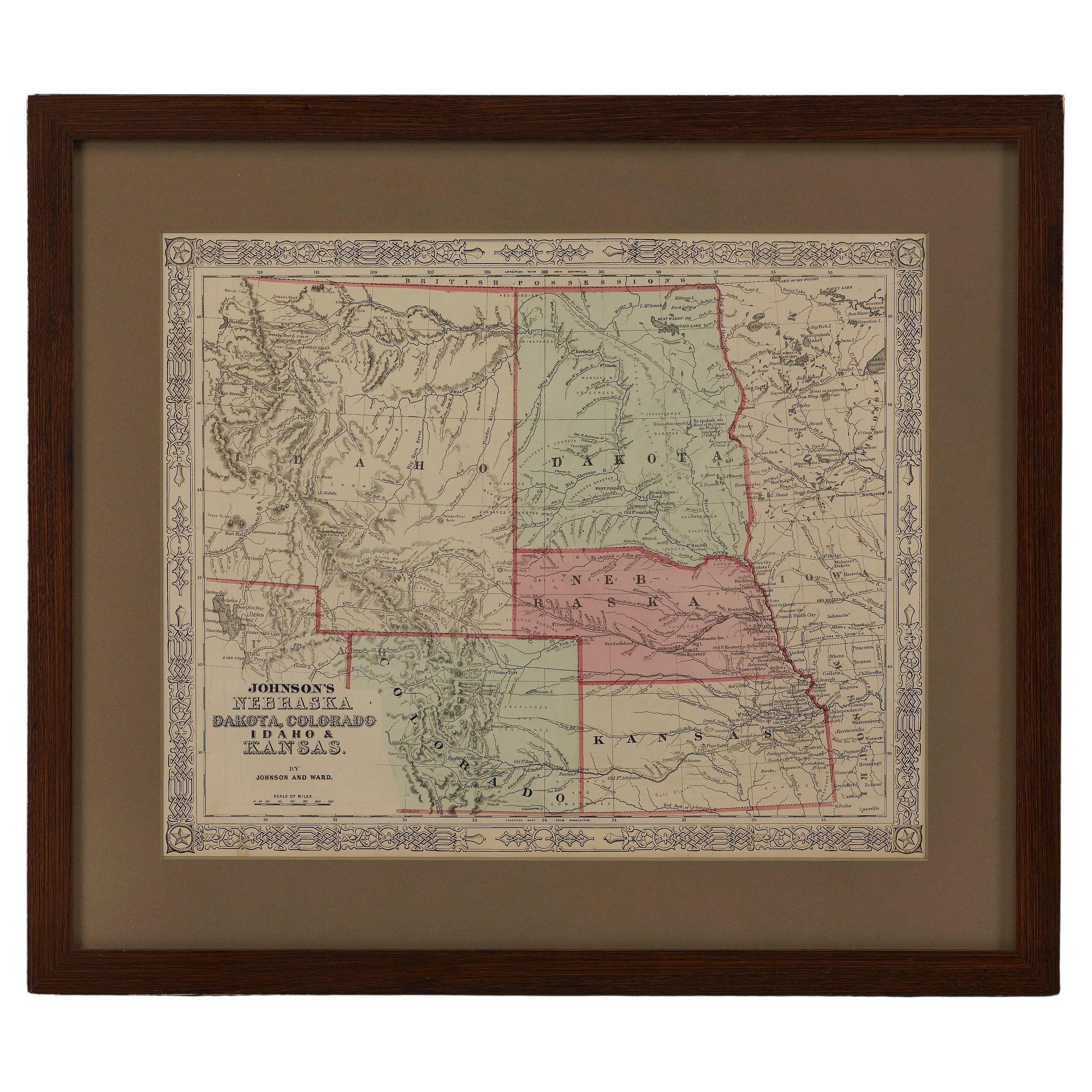
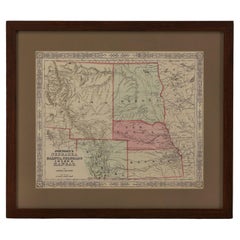
- 1865 "Johnson's Nebraska, Dakota, Colorado, Idaho & Kansas" Map, Johnson & WardLocated in Colorado Springs, COPresented is an original 1865 "Johnson's Nebraska, Dakota, Colorado, Idaho & Kansas” map. This map was issued as page 63 in the 1865 edition of “Johnson's N...Category
Antique Mid-19th Century Maps
MaterialsPaper
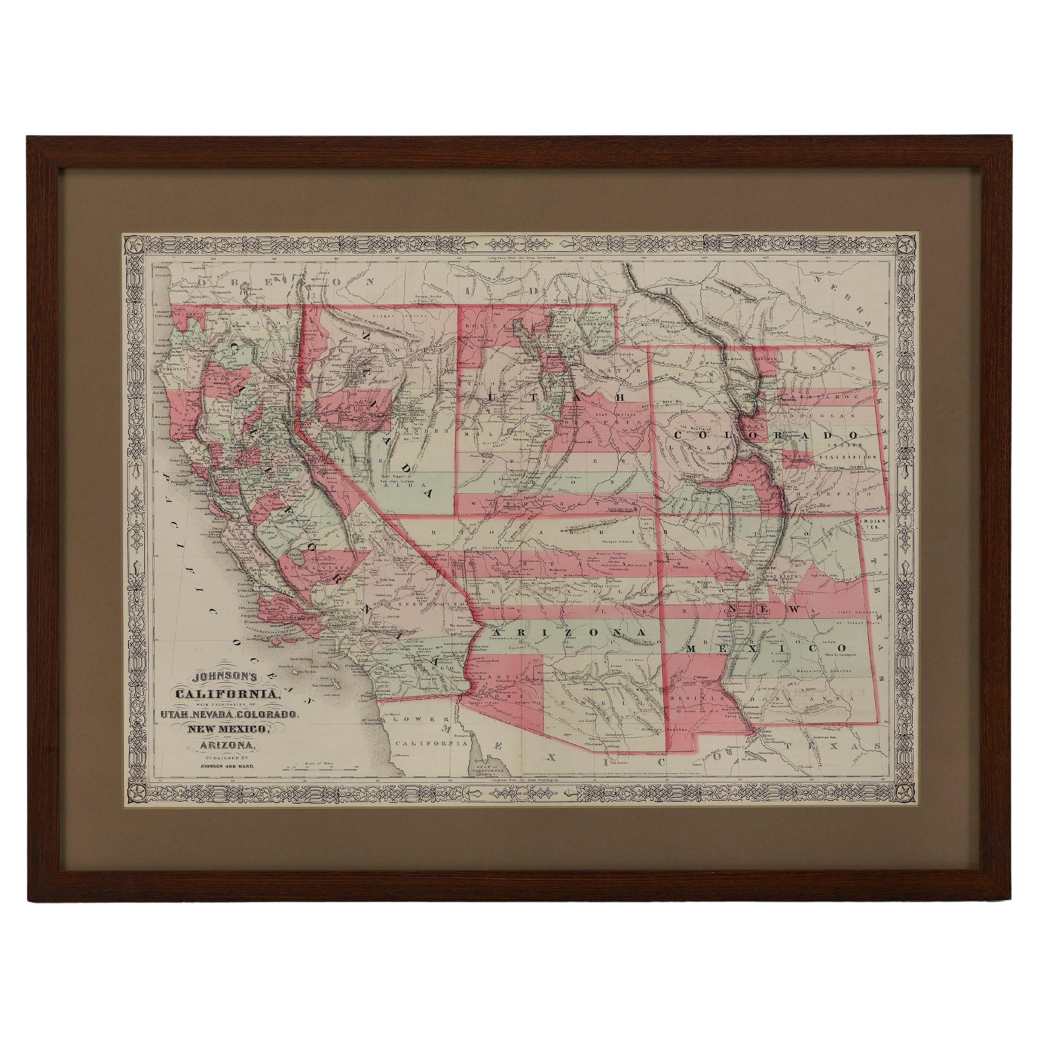
- 1865 "Johnson's California, Utah, Nevada, Colorado, New Mexico, Arizona" MapLocated in Colorado Springs, COPresented is an original 1865 "Johnson's California, with Territories of Utah, Nevada, Colorado, New Mexico, and Arizona” map. First published in 1864, thi...Category
Antique Mid-19th Century Maps
MaterialsPaper
- 1859 "Colton's New Map of the State of Texas..." by Johnson & BrowningLocated in Colorado Springs, COPresented is "Colton's New Map of the State of Texas Compiled from De Cordova's Large Map", published in Alivin J. Johnson’s “New Illustrated Family Atlas.” The map was published in ...Category
Antique 1850s American Maps
MaterialsPaper
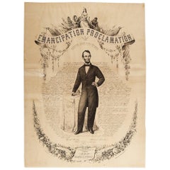
- 1865 Emancipation Proclamation, Antique Lithograph by P.S. Duval and SonLocated in Colorado Springs, COPresented is a lithographic broadside of the text of the Emancipation Proclamation issued on January 1, 1863. This broadside was published in...Category
Antique 1860s American Historical Memorabilia
MaterialsPaper
- "Lady Washington's Reception, " Engraved by A. H. Ritchie, Antique Print, 1865Located in Colorado Springs, COThis 1865, hand-colored engraving by A. H. Ritchie is entitled Lady Washington's Reception and is based on Daniel F. Huntington's original painting "Th...Category
Antique 1860s American Prints
MaterialsPaper


You May Also Like
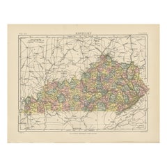
- Antique Map of Kentucky and Tennessee by Johnson, 1872Located in Langweer, NLAntique map titled 'Johnson's Kentucky (..)'. Original map of Kentucky and Tennessee. This map originates from 'Johnson's New Illustrated Family Atlas ...Category
Antique Late 19th Century Maps
MaterialsPaper
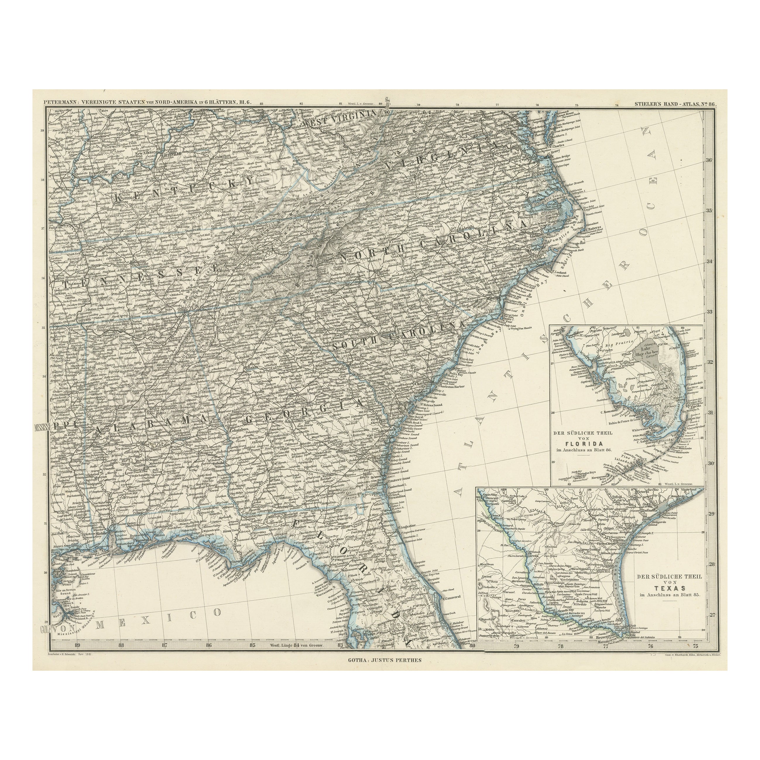
- Antique Map of Tennessee, Kentucky, Virginia, Alabama, Georgia and SurroundingsLocated in Langweer, NLAntique map of part of the United States showing Alabama, Georgia, North Carolina, South Carolina, Tennessee, Kentucky, Virginia and part of Florida. With inset maps of the southern ...Category
Antique Mid-19th Century Maps
MaterialsPaper
 $589 Sale Price25% OffFree Shipping
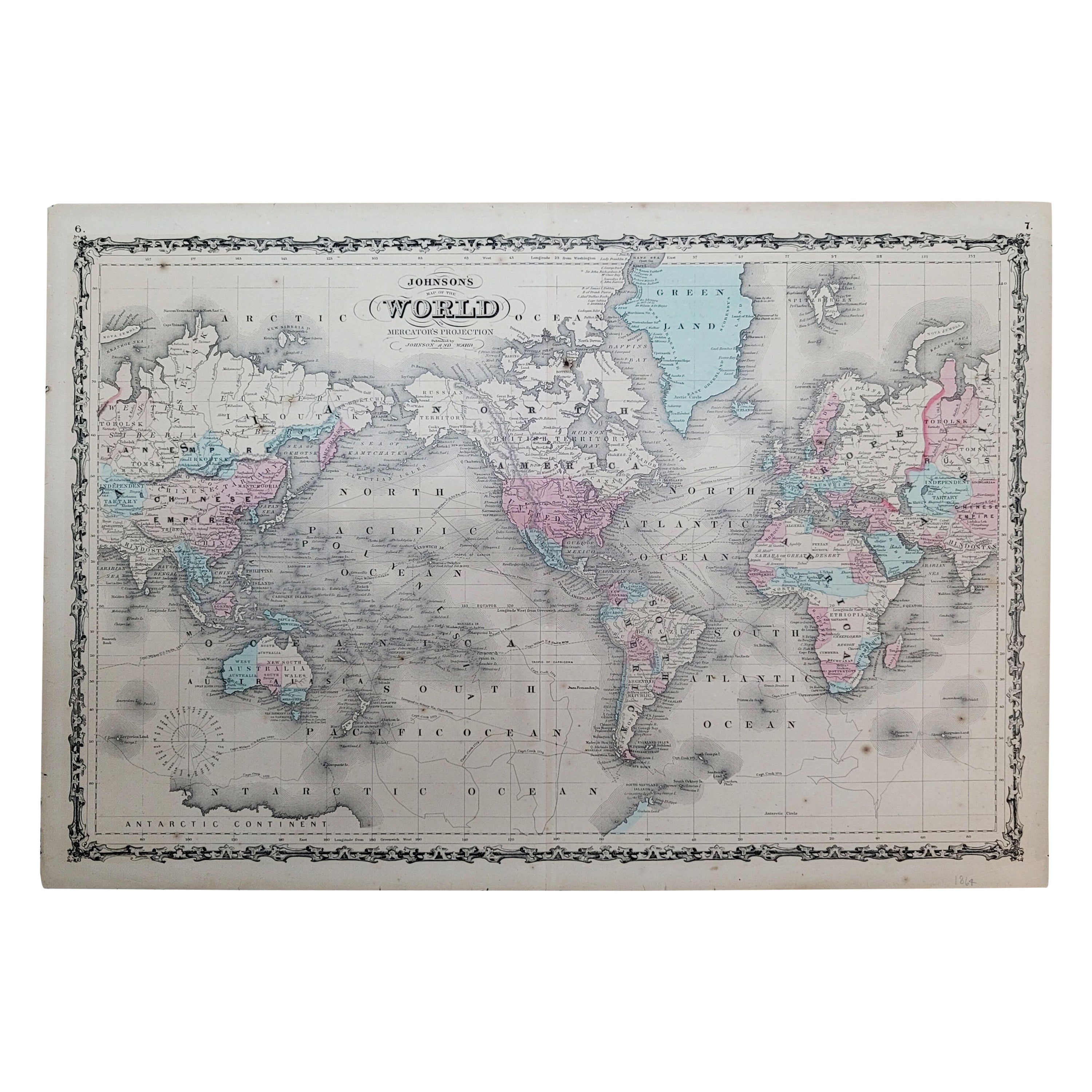
 - 1864 Johnson's Map of the World on Mercator's Projection, Ric.B009Located in Norton, MAAn 1864 Johnson's map of the World on Mercator's Projection Ric.b009 About this Item "This antique map came from Johnson's New Illustrated (Steel Plate) Family Atlas, publ...Category
Antique 19th Century Dutch Maps
MaterialsPaper
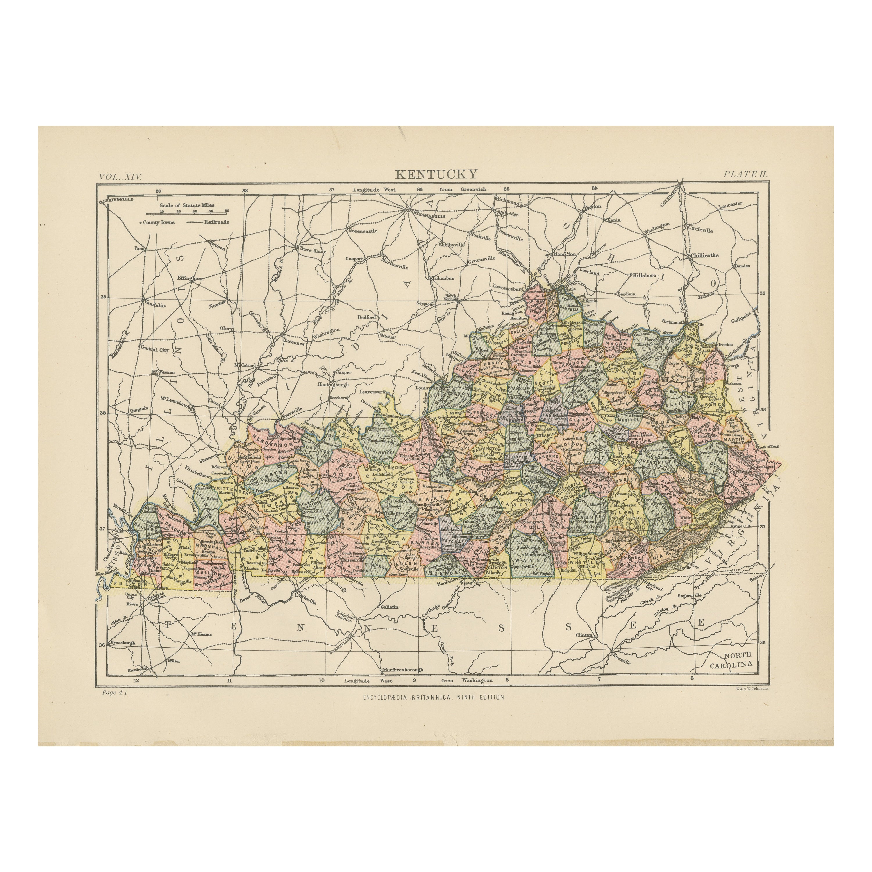
- Antique Map of KentuckyLocated in Langweer, NLAntique map titled 'Kentucky'. Original antique map of Kentucky, United States. This print originates from 'Encyclopaedia Britannica', Ninth E...Category
Antique Late 19th Century Maps
MaterialsPaper
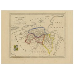
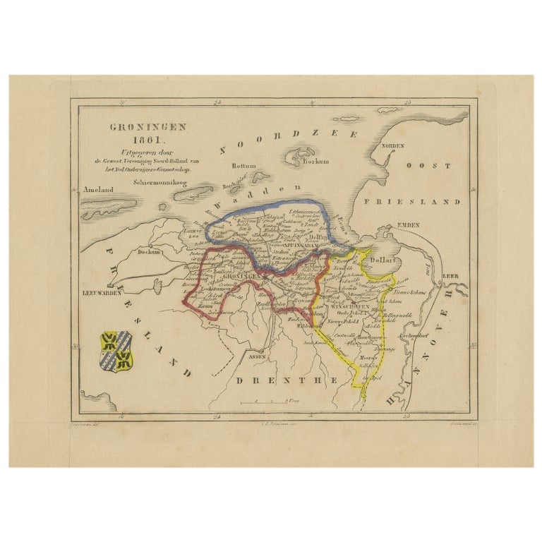
- Antique Map of Groningen by Veelwaard, c.1865Located in Langweer, NLAntique map titled 'Groningen 1861'. Map of Groningen, the Netherlands. Published by 'Gewest. Vereeniging Noord Holland van het Ned. Onderwijzers-Genootschap'. Artists and Engravers:...Category
Antique 19th Century Maps
MaterialsPaper
- Antique Map of England and Wales by A.K. Johnston, 1865Located in Langweer, NLAntique map titled 'England and Wales (Southern Sheet)'. With an inset map of the Scilly Islands. This map originates from the ‘Royal Atlas of Modern Geography’ by Alexander Keith Jo...Category
Antique Mid-19th Century Maps
MaterialsPaper