
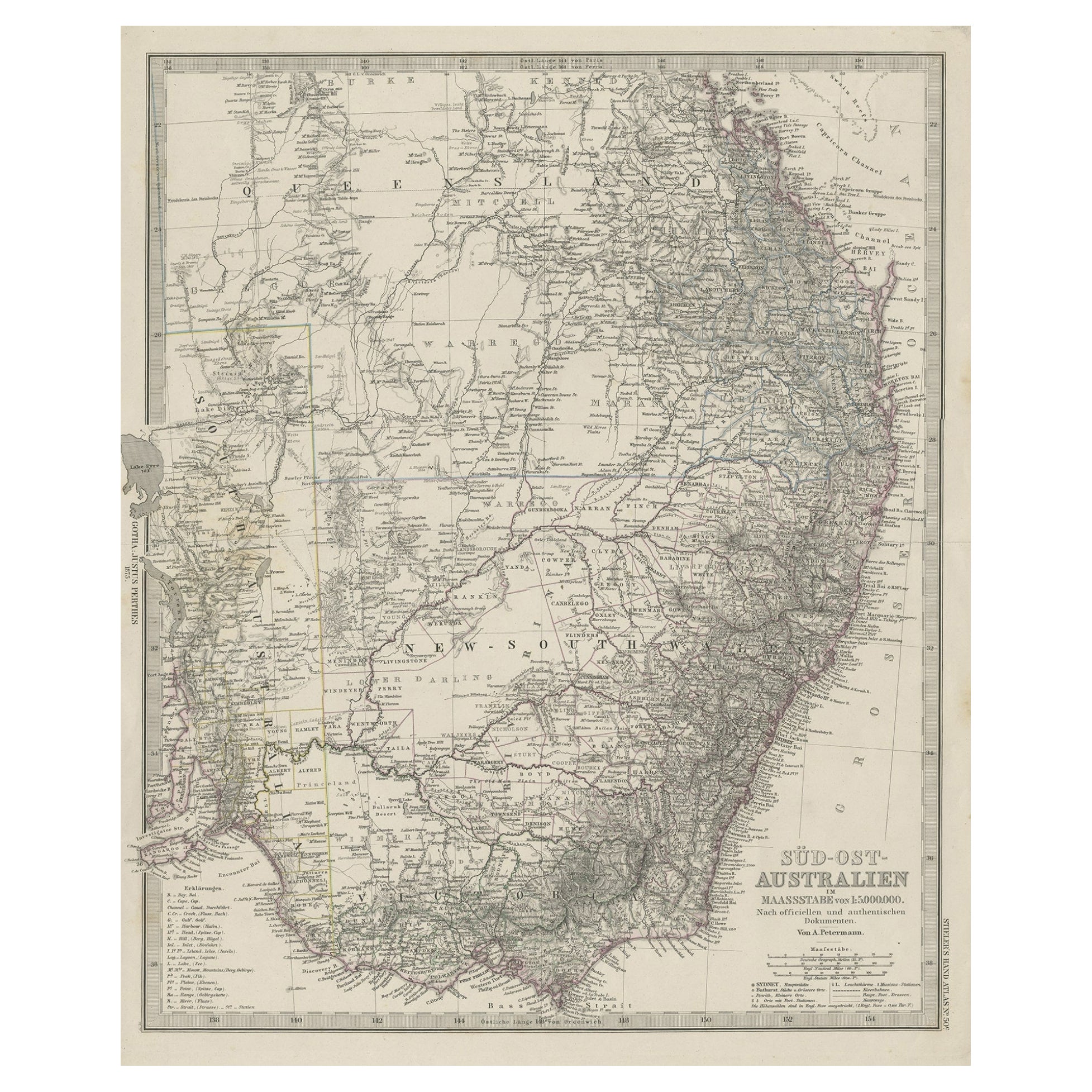
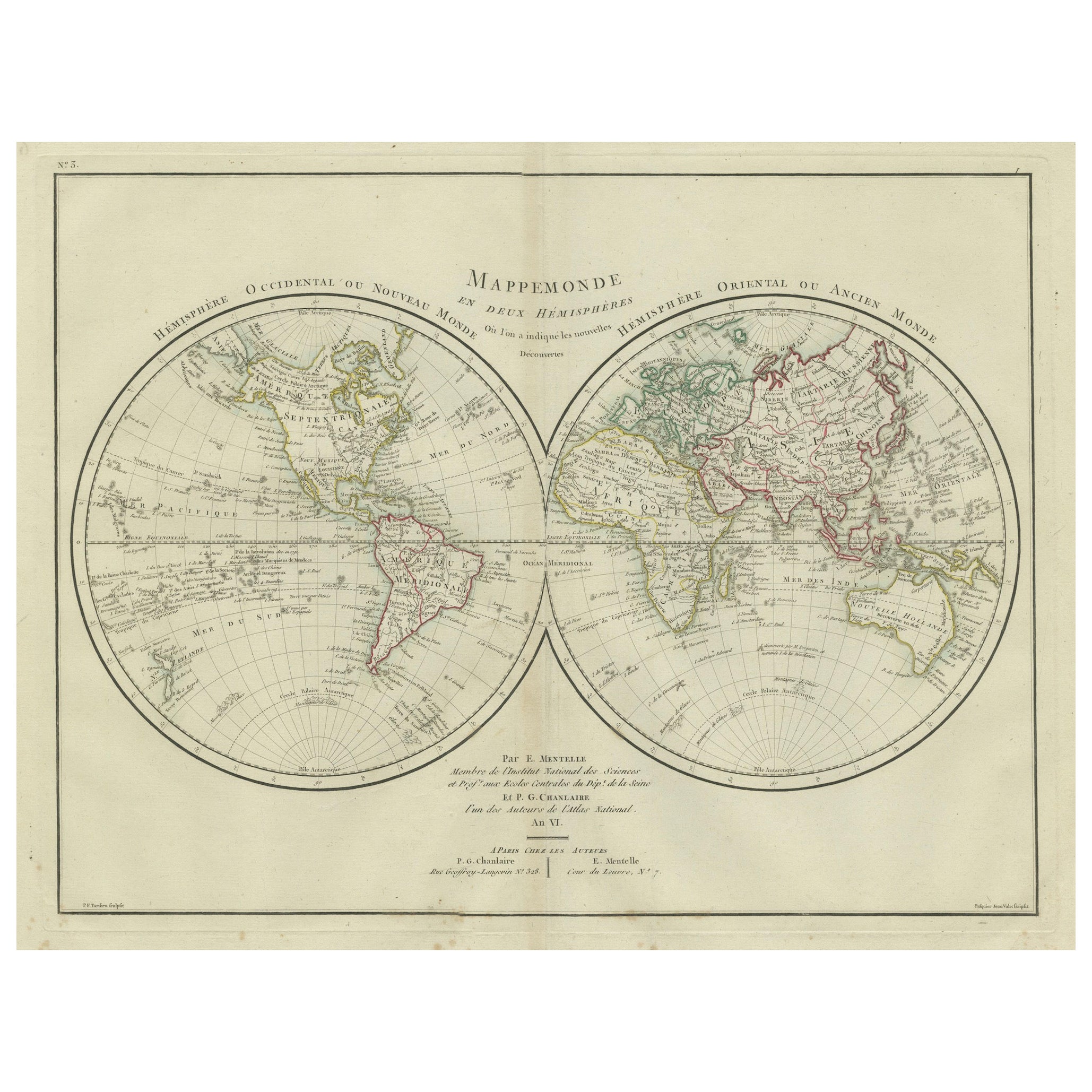
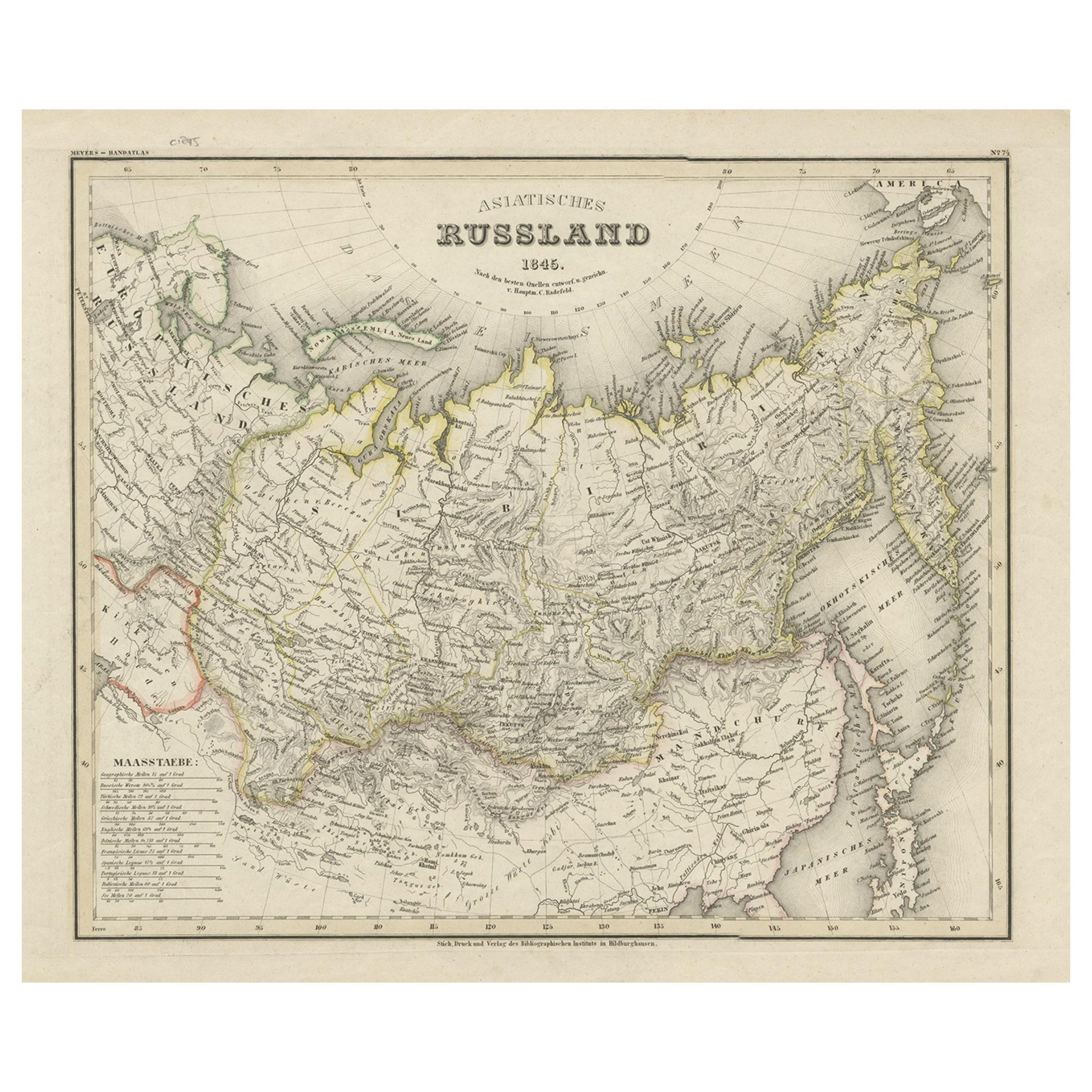
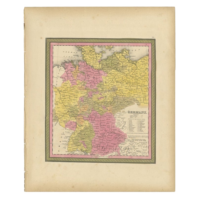
Antique German Hartleben's Volks Atlas Book World Maps
View Similar Items


1 of 16
Antique German Hartleben's Volks Atlas Book World Maps
About the Item
- Dimensions:Height: 16.5 in (41.91 cm)Width: 11.5 in (29.21 cm)Depth: 1 in (2.54 cm)
- Style:Aesthetic Movement (Of the Period)
- Materials and Techniques:
- Place of Origin:
- Period:
- Date of Manufacture:1900s
- Condition:Wear consistent with age and use. wear and fading to slip case, scuffing to spine, age toning.
- Seller Location:Seguin, TX
- Reference Number:1stDibs: LU7228239579272
Authenticity Guarantee
In the unlikely event there’s an issue with an item’s authenticity, contact us within 1 year for a full refund. DetailsMoney-Back Guarantee
If your item is not as described, is damaged in transit, or does not arrive, contact us within 7 days for a full refund. Details24-Hour Cancellation
You have a 24-hour grace period in which to reconsider your purchase, with no questions asked.Vetted Professional Sellers
Our world-class sellers must adhere to strict standards for service and quality, maintaining the integrity of our listings.Price-Match Guarantee
If you find that a seller listed the same item for a lower price elsewhere, we’ll match it.Trusted Global Delivery
Our best-in-class carrier network provides specialized shipping options worldwide, including custom delivery.You May Also Like
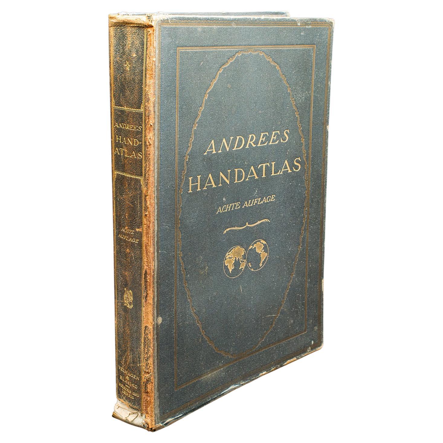
Antique Andrees Handatlas, German Cartography Book, Maps, Atlas, Reference, 1924
Located in Hele, Devon, GB
This is a large volume antique copy of Andrees' Handatlas. A German, bound chromolithography atlas, dating to the early 20th century, this edition published in 1924.
Full title: And...
Category
Vintage 1920s German Other Books
Materials
Paper

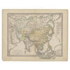
Antique Map of Asia from a German School Atlas, c.1870
Located in Langweer, NL
Antique map titled 'Asien'. Old map of the Asian continent. This map originates from 'H. Kiepert's Kleiner Atlas der Neueren Geographie für Schule und Haus'.
Artists and Engravers:...
Category
Antique 19th Century Maps
Materials
Paper

$132 Sale Price
20% Off
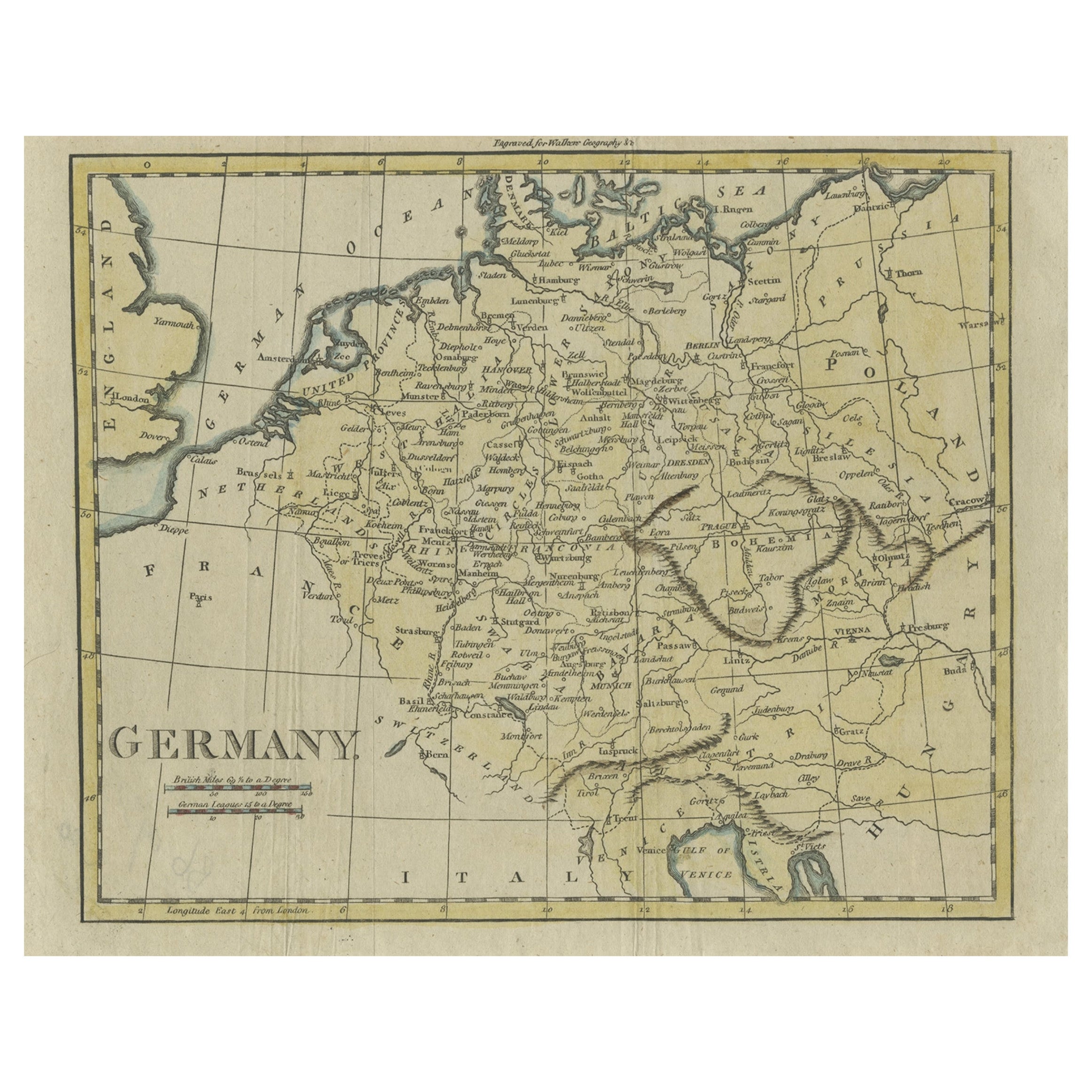
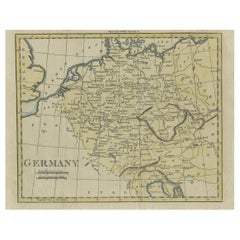
Antique Map of Germany from an Old English Atlas, c.1802
Located in Langweer, NL
Antique map titled 'Germany'. Antique map of Germany engraved for 'Atlas to Walker's Geography'. Artists and Engravers: Engraved by W. Darton.
Artist: Engraved by W. Darton.
Co...
Category
Antique 19th Century Maps
Materials
Paper
$120 Sale Price
20% Off
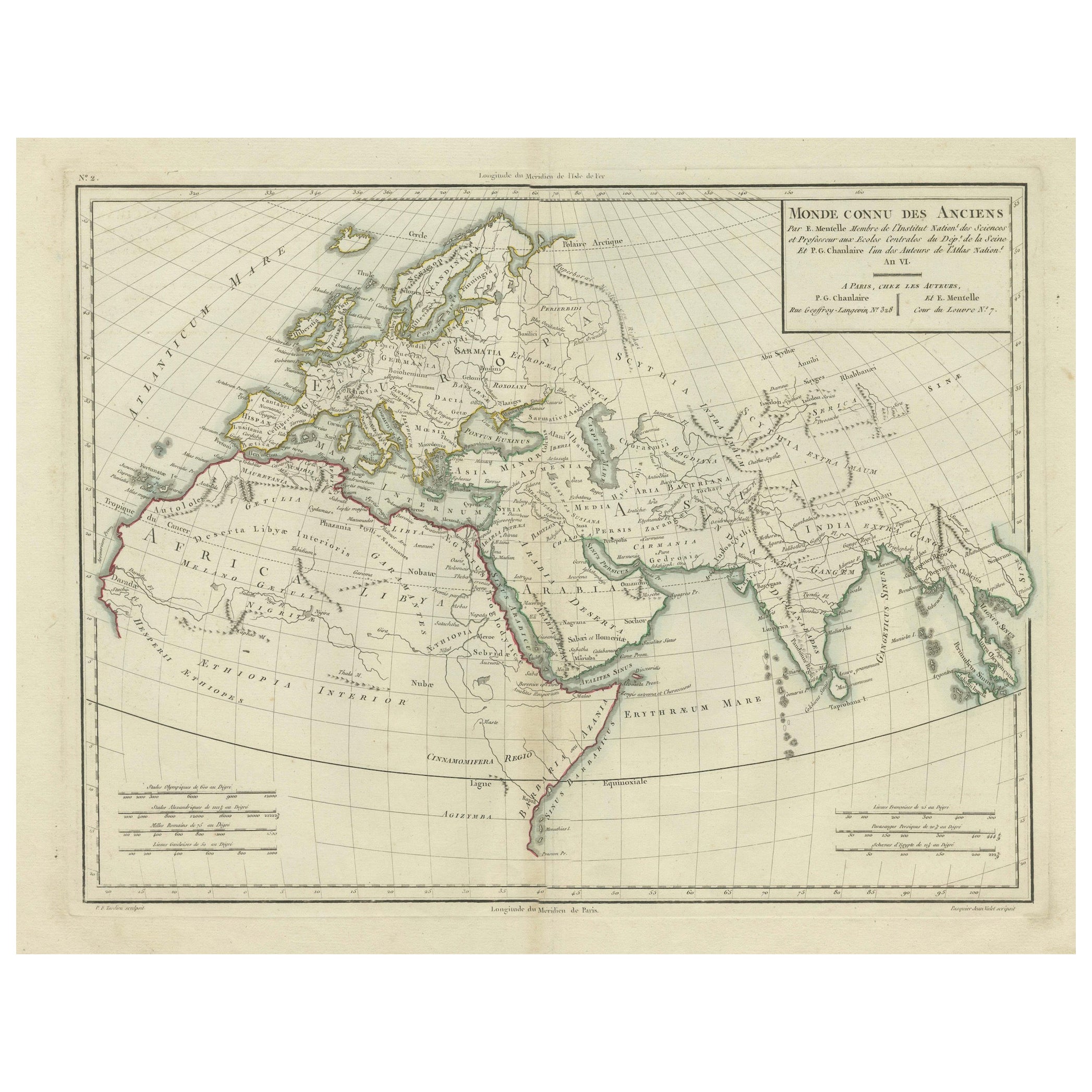
Ancient World Map: Europe, Africa & Asia - 1802 Tardieu Atlas
Located in Langweer, NL
Antique Map Description with title: "Monde Connu Des Anciens"
Publication Details:
- Atlas Title: Nouvel Atlas Universel de Géographie Ancienne et Moderne
- Purpose: For the Nouvel...
Category
Antique Early 1800s Maps
Materials
Paper
$407 Sale Price
20% Off
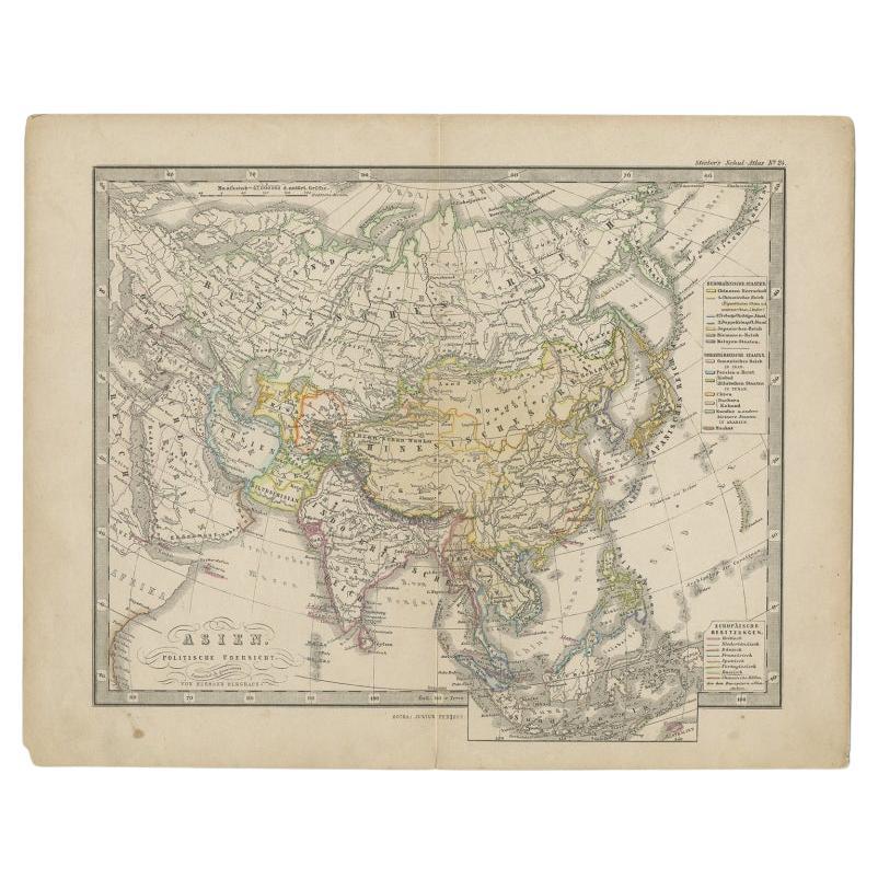
Antique Map of the Asian Continent from a German School Atlas, 1862
Located in Langweer, NL
Antique map titled 'Asien Politische Ubersicht'. Old map of the Asian continent. Originates from Stieler's 'Schul-Atlas'.
Artists and Engravers: Published by Johan Georg Justus Per...
Category
Antique 19th Century Maps
Materials
Paper
$86 Sale Price
20% Off
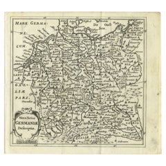
Antique Map of Germany from a 17th Century Pocket Atlas, 1685
Located in Langweer, NL
Antique map titled 'Nova Totius Germaniae descriptio.' Miniature map of Germany, from the pocket atlas 'Introductionis in Universam Geographiam tam Veterem...
Category
Antique 17th Century Maps
Materials
Paper
$115 Sale Price
20% Off
Recently Viewed
View AllMore Ways To Browse
Leather Map Case
Curule Seats
Czech Oak Table
Daniel And Arter Ceramics
Danish Folding Chairs
Drexel Chairs Vintage
Eames Hand Chairs
Ebonized And Cane
Egg Bowl
English Country Armchairs
Entrance Hooks
Entryway Console Marble
Expanding Dining Tables Antique
Fabric Folding Screen
Fabric Patterned Bench
Filigree Chinese
Floating Bench
Floating Console Table