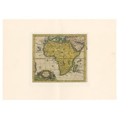
Antique Map of Africa by Hederichs 'circa 1740'
View Similar Items


Want more images or videos?
Request additional images or videos from the seller
1 of 5
Antique Map of Africa by Hederichs 'circa 1740'
About the Item
- Dimensions:Height: 9.85 in (25 cm)Width: 13.78 in (35 cm)Depth: 0.02 in (0.5 mm)
- Materials and Techniques:
- Period:
- Date of Manufacture:circa 1740
- Condition:Thin passe partout included. General age-related toning, blank verso. Please study images carefully.
- Seller Location:Langweer, NL
- Reference Number:Seller: BG-12388-11stDibs: LU3054317690591
About the Seller
5.0
Platinum Seller
These expertly vetted sellers are 1stDibs' most experienced sellers and are rated highest by our customers.
Established in 2009
1stDibs seller since 2017
1,948 sales on 1stDibs
More From This SellerView All
- Antique Map of Europe by Hederichs, circa 1740Located in Langweer, NLAntique map titled 'Europa Christiani Orbis Domina'. Rare miniature map of Europe. This map originates from 'Anleitung Zu den fürnehmsten Historischen Wissenschaften, Benanntlich Der...Category
Antique Mid-18th Century Maps
MaterialsPaper
 $219 Sale Price20% Off
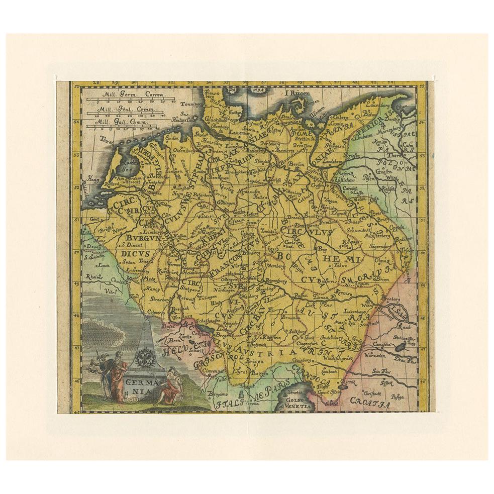
 - Antique Map of Germany by Hederichs 'circa 1740'Located in Langweer, NLAntique map titled 'Germania'. Rare miniature map of Germany and surroundings. This map covers the entirety of those lands traditionally occupied by Germanic peoples, from the Blatic...Category
Antique Mid-18th Century Maps
MaterialsPaper
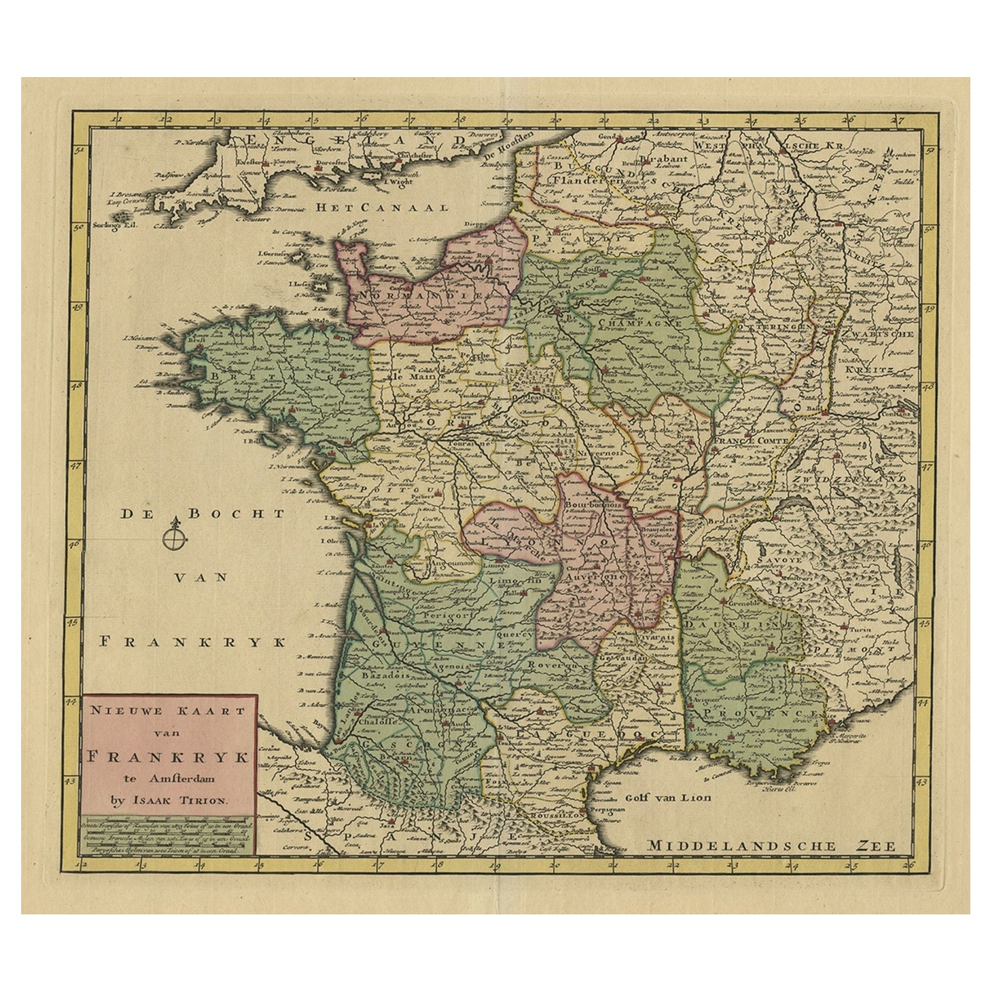
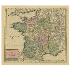
- Antique Map of France by Tirion, c.1740Located in Langweer, NLAntique map titled 'Nieuwe Kaart van Frankryk.' - Attractive detailed map showing France. Title in block-style cartouche with a simple compass rose. Source unknown, to be determined....Category
Antique 18th Century Maps
MaterialsPaper
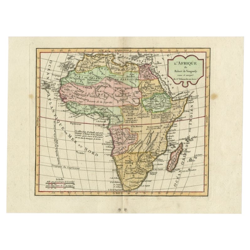
- Antique Map of Africa by Bordiga Fratelli 'circa 1818'Located in Langweer, NLAntique map titled 'Carta dell Africa'. Large and quite scarce Italian map of Africa, reflecting the then-current knowledge of the continent's geography, with large areas left comple...Category
Antique Early 19th Century Maps
MaterialsPaper
 $1,582 Sale Price20% Off
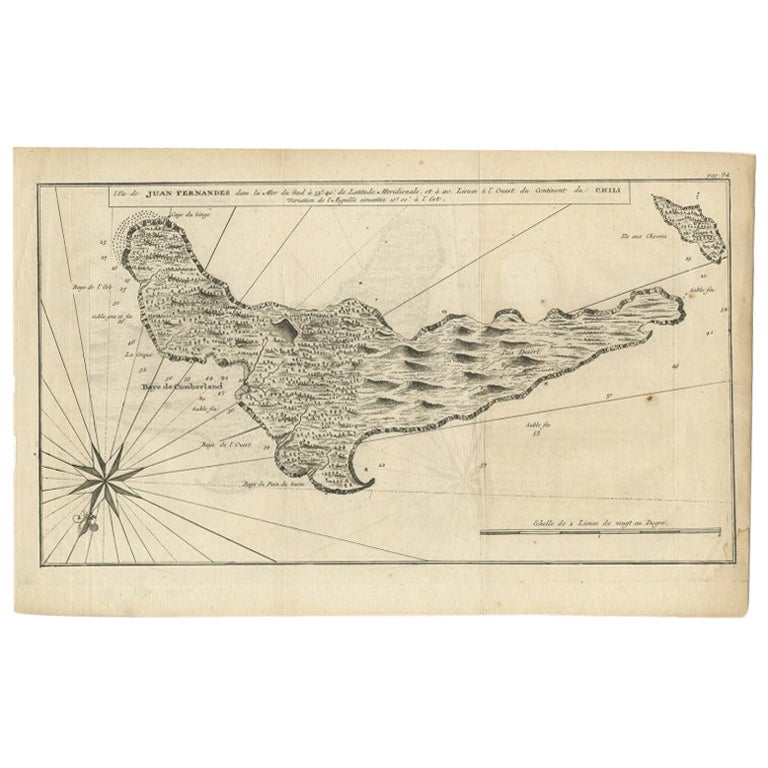
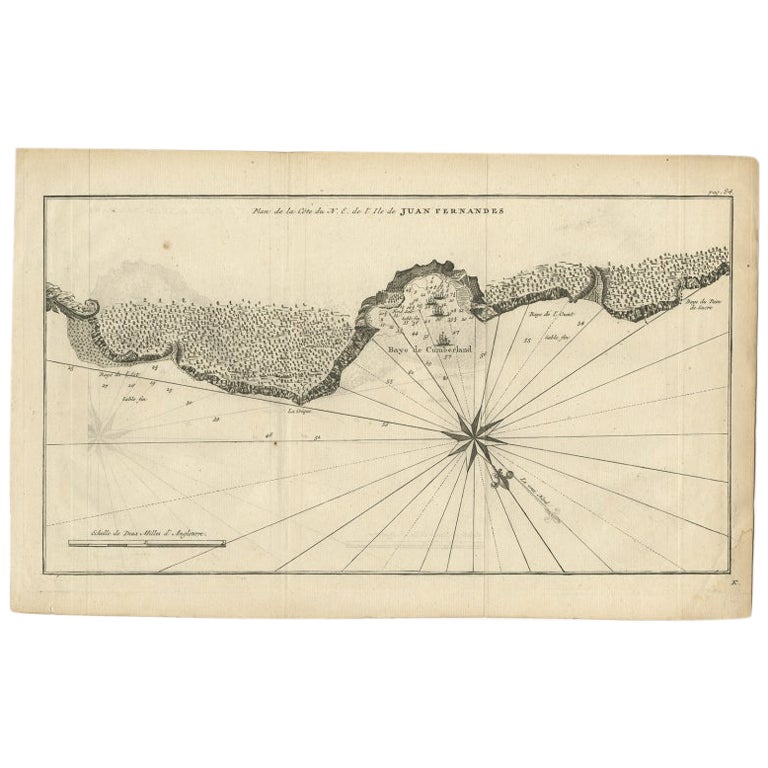
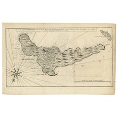
 - Antique Map of Juan Fernandez, Chile, c.1740Located in Langweer, NLAntique map titled 'l'Ile de Juan Fernandes dans la Mer du Sud (..)'. This map depicts Juan Fernandez Island in the Southern Sea. Source unknown, to be determined. Artists and En...Category
Antique 18th Century Maps
MaterialsPaper
- Antique Map of Western Russia by Covens & Mortier, 1740Located in Langweer, NLAntique map titled 'Carte de Moscovie'. Antique map of the western portion of Russia. The map centers on Moscow (shown near the top of the lower sheet) and spans from the Sea of Azov...Category
Antique Mid-18th Century Maps
MaterialsPaper
 $835 Sale Price20% Off
You May Also Like
- Original Antique Map of South Africa, Arrowsmith, 1820Located in St Annes, LancashireGreat map of South Africa. Drawn under the direction of Arrowsmith. Copper-plate engraving. Published by Longman, Hurst, Rees, Orme and Br...Category
Antique 1820s English Maps
MaterialsPaper
- Original Antique Map of Belgium by Tallis, Circa 1850Located in St Annes, LancashireGreat map of Belgium Steel engraving Many lovely vignettes Published by London Printing & Publishing Co. ( Formerly Tallis ), C.1850 Origin...Category
Antique 1850s English Maps
MaterialsPaper
- Original Antique Map of South America, circa 1830Located in St Annes, LancashireGreat map of South America Copper plate engraving Published by Butterworth, Livesey & Co., circa 1830 Unframed.Category
Antique Early 1800s English Other Maps
MaterialsPaper

- Original Antique Map / City Plan of Brussels by Tallis, circa 1850Located in St Annes, LancashireGreat map of Brussels. Steel engraving. Published by London Printing & Publishing Co. (Formerly Tallis), C.1850 Free shipping.Category
Antique 1850s English Maps
MaterialsPaper
- Original Antique Map of South East Asia by Becker, circa 1840Located in St Annes, LancashireGreat map of South East Asia Steel engraving with original color outline Engraved by Becker Published by Virtue, circa 1840. Unframed.Category
Antique 1840s English Other Maps
MaterialsPaper
- Original Antique Map of Spain and Portugal, circa 1790Located in St Annes, LancashireSuper map of Spain and Portugal Copper plate engraving by A. Bell Published, circa 1790. Unframed.Category
Antique 1790s English Other Maps
MaterialsPaper


Recently Viewed
View AllMore Ways To Browse
Mapp Plate
Map Of Maine Et Loire
Hand Carved Wooden Ships
Vincenzo Coronelli On Sale
Willem Blaeu On Sale
Antique Cabbage Cutter
Map Of Charlevoix
Marthas Vineyard Map
Matthew Seutter On Sale
Nantucket Chart
Nicolaes Visscher II On Sale
Port Antonio Map
W. & A.K. Johnston On Sale
Yemen 1789
Yugoslavia Map
Andalusia Map
Antique Map Of Shanghai
Atlas School Supply On Sale