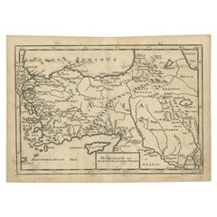
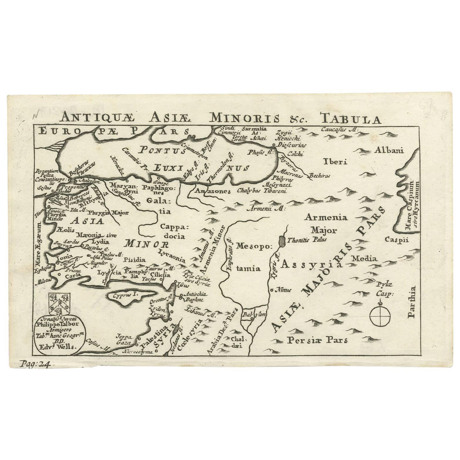
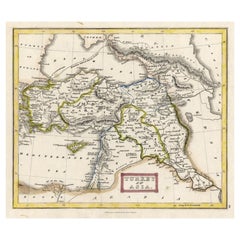
Antique Map of Asia Minor, Route of the Retreat of Ten Thousand Greeks, c.1720
View Similar Items


Want more images or videos?
Request additional images or videos from the seller
1 of 6
Antique Map of Asia Minor, Route of the Retreat of Ten Thousand Greeks, c.1720
About the Item
- Dimensions:Height: 8.67 in (22 cm)Width: 11.03 in (28 cm)Depth: 0 in (0.01 mm)
- Materials and Techniques:
- Period:
- Date of Manufacture:circa 1720
- Condition:Condition: Good, age-related toning and some old handwriting on the verso shining through, slightly visible on the front. Please study image carefully.
- Seller Location:Langweer, NL
- Reference Number:Seller: BG-093461stDibs: LU3054326091802
About the Seller
5.0
Recognized Seller
These prestigious sellers are industry leaders and represent the highest echelon for item quality and design.
Gold Seller
Premium sellers maintaining a 4.3+ rating and 24-hour response times
Established in 2009
1stDibs seller since 2017
2,467 sales on 1stDibs
Typical response time: 1 hour
Authenticity Guarantee
In the unlikely event there’s an issue with an item’s authenticity, contact us within 1 year for a full refund. DetailsMoney-Back Guarantee
If your item is not as described, is damaged in transit, or does not arrive, contact us within 7 days for a full refund. Details24-Hour Cancellation
You have a 24-hour grace period in which to reconsider your purchase, with no questions asked.Vetted Professional Sellers
Our world-class sellers must adhere to strict standards for service and quality, maintaining the integrity of our listings.Price-Match Guarantee
If you find that a seller listed the same item for a lower price elsewhere, we’ll match it.Trusted Global Delivery
Our best-in-class carrier network provides specialized shipping options worldwide, including custom delivery.More From This Seller
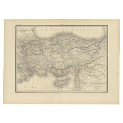
View AllAntique Map of Asia Minor including part of the Greek Archipelago and Cyprus
Located in Langweer, NL
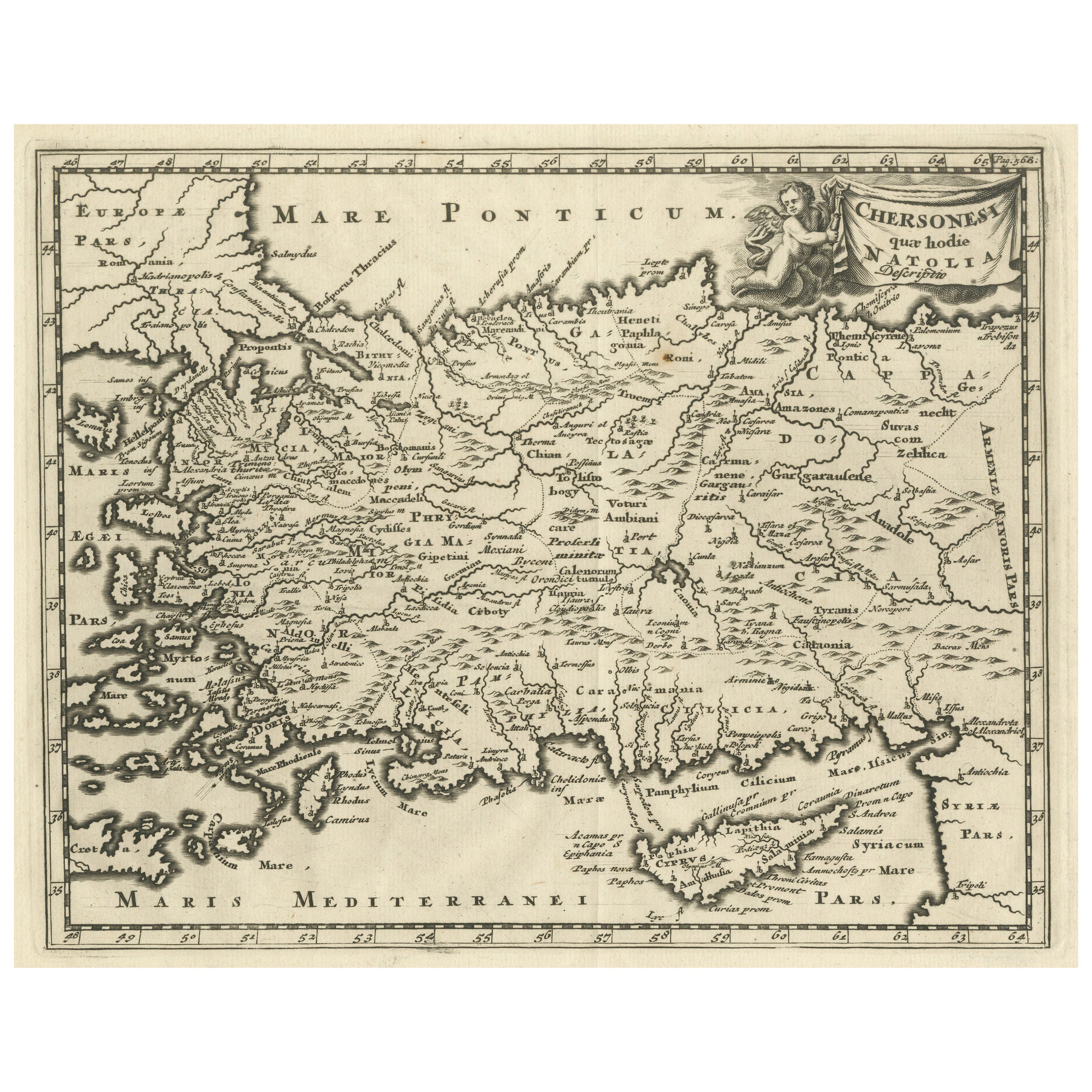
Antique map titled 'Chersonesi quae hodie Natolia Descriptio'. Decorative, smaller map of Asia Minor including part of the Greek Archipelago and Cyprus. The drape-style title cartouc...
Category
Antique Mid-18th Century Maps
Materials
Paper
$316 Sale Price
20% Off
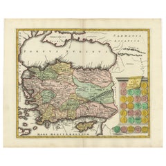
Decorative Antique Map of Cyprus and Asia Minor by Christoph Weigel, Circa 1720
Located in Langweer, NL
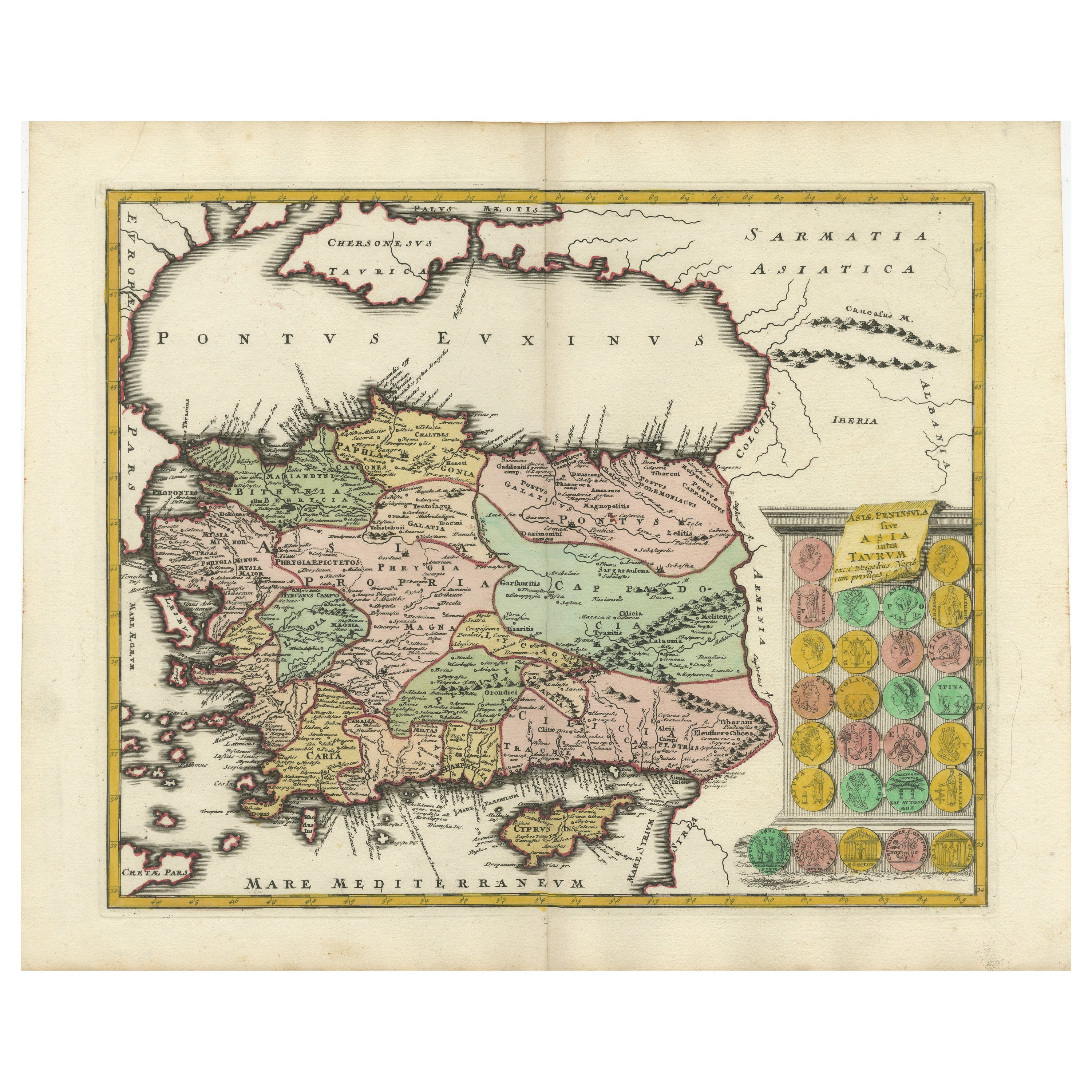
Title: Asiae Peninsula sive Asia Intra Taurum by Christoph Weigel, Circa 1720 – Decorative Antique Map of Cyprus and Asia Minor
Description: Thi...
Category
Antique 1720s Maps
Materials
Paper
$614 Sale Price
20% Off
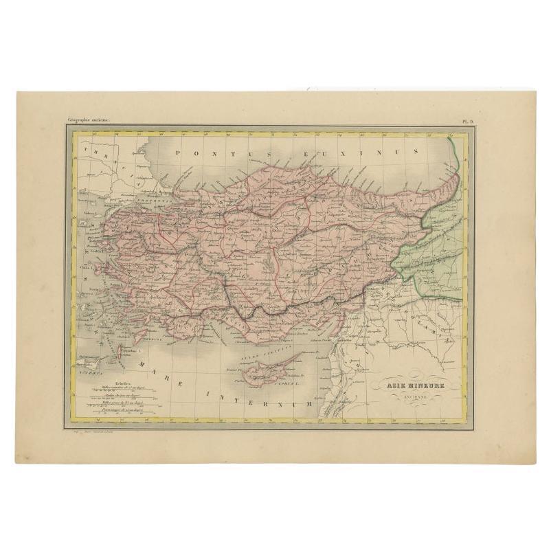
Antique Map of Turkey in Asia 'Asia Minor', 1841
Located in Langweer, NL
Antique map titled 'Turkey in Asia'. Original antique map of Asia Minor (Turkey). Source unknown, to be determined.
Artists and Engravers: Published by O...
Category
Antique 19th Century Maps
Materials
Paper
Antique Map of Asia Minor, Cyprus, and the Eastern Mediterranean
Located in Langweer, NL
Antique map titled 'Natoliae quae olim Asia Minor nova descriptio'. Original antique map of Asia Minor, Cyprus, and the eastern Mediterranean. Originally published on one sheet toget...
Category
Antique Early 17th Century Maps
Materials
Paper

$409 Sale Price
20% Off
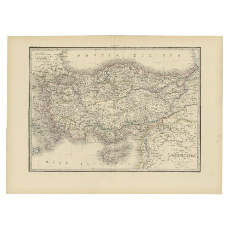
Antique Map of Asia Minor by Lapie, 1842
Located in Langweer, NL
Antique map titled 'Carte de l'Asie Mineure Ancienne (..)'. Map of Asia Minor, also called Anatolia or Turkish Anadolu. This map originates from 'Atlas univ...
Category
Antique 19th Century Maps
Materials
Paper
$362 Sale Price
20% Off
Antique Map of Greece with an Inset Map of the Upper Danube Region, c.1720
Located in Langweer, NL
Antique map titled 'Fluviorum in Europa principis Danubii cum adiacentibus Regnis.'
Detailed map of Greece, the Balkans and contiguous parts of the Adriatic and Aegean Seas. The ma...
Category
Antique 18th Century Maps
Materials
Paper

You May Also Like
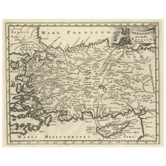
Hand-Colored 18th Century Homann Map of the Black Sea, Turkey and Asia Minor
By Johann Baptist Homann
Located in Alamo, CA
An attractive original early 18th century hand-colored map of the Black Sea and Turkey entitled "Carte de L'Asie Minevre ou de la Natolie et du Pont Evxin Tiree des Voyages et des Ob...
Category
Antique Early 18th Century German Maps
Materials
Paper

Large Original Antique Map of The Greek Islands. 1894
Located in St Annes, Lancashire
Superb Antique map of The Greek Islands
Published Edward Stanford, Charing Cross, London 1894
Original colour
Good condition
Unframed.
Free shipping
Category
Antique 1890s English Maps
Materials
Paper

Original Antique Map of Ancient Greece- Boeotia, Thebes, 1787
Located in St Annes, Lancashire
Great map of Ancient Greece. Showing the region of Boeotia, including Thebes
Drawn by J.D. Barbie Du Bocage
Copper plate engraving by P.F T...
Category
Antique 1780s French Other Maps
Materials
Paper

Original Antique Map of Ancient Greece, Achaia, Corinth, 1786
Located in St Annes, Lancashire
Great map of Ancient Greece. Showing the region of Thessaly, including Mount Olympus
Drawn by J.D. Barbie Du Bocage
Copper plate engraving by P.F Tardieu
Original hand color...
Category
Antique 1780s French Other Maps
Materials
Paper

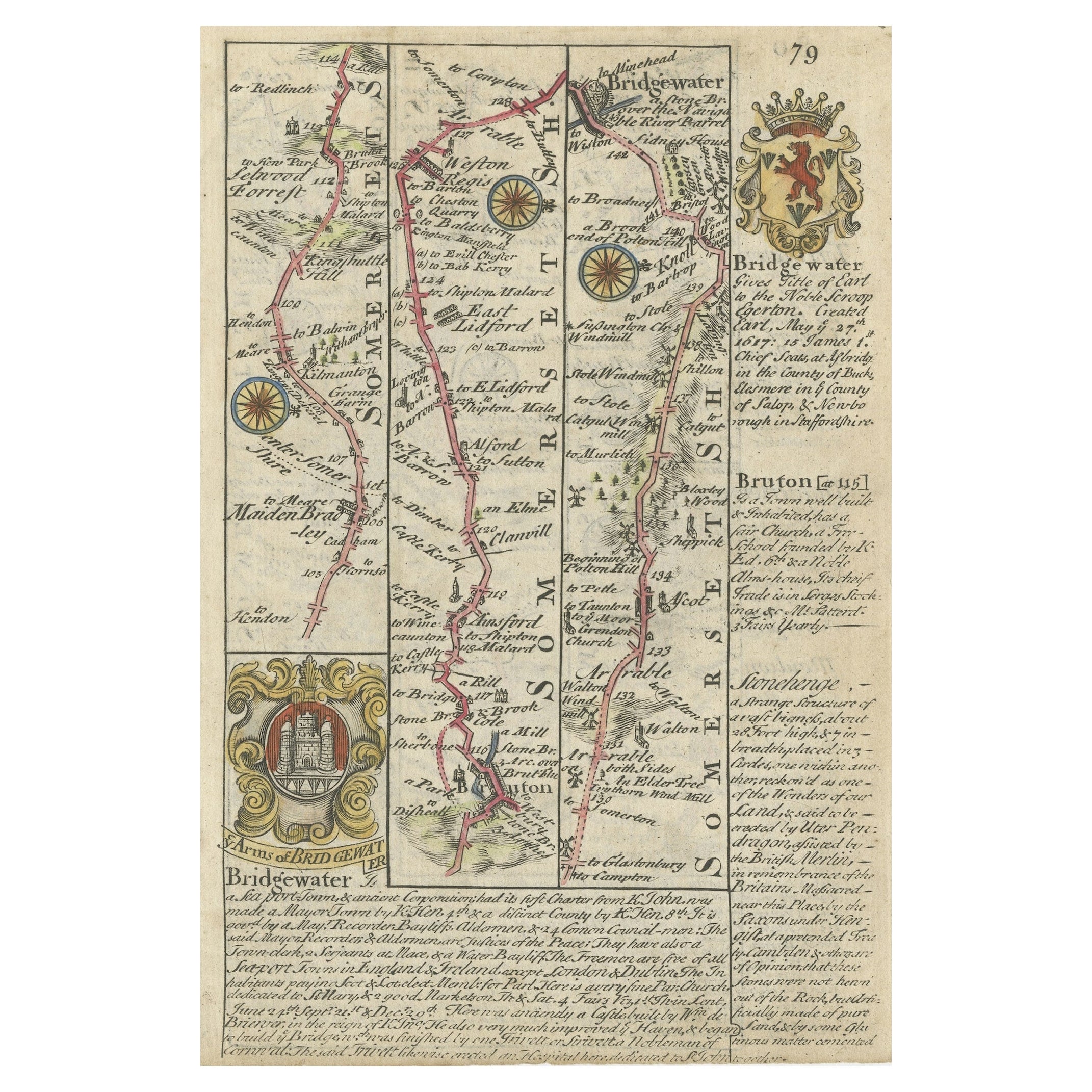
Antique Coaching Road Map, Devon, English, Regional Cartography, Georgian, 1720
Located in Hele, Devon, GB
This is an antique coaching road map of Devon. An English, framed lithograph engraving of regional interest, dating to the early 18th century and later.
Fascinating 18th century hig...
Category
Antique Early 18th Century British Georgian Maps
Materials
Wood

Antique French Map of Asia Including China Indoneseia India, 1783
Located in Amsterdam, Noord Holland
Very nice map of Asia. 1783 Dedie au Roy.
Additional information:
Country of Manufacturing: Europe
Period: 18th century Qing (1661 - 1912)
Condition: Overall Condition B (Good Used)...
Category
Antique 18th Century European Maps
Materials
Paper

$648 Sale Price
20% Off
Recently Viewed
View AllMore Ways To Browse
Vintage Adjustable Footstool
Vintage Anchor Hocking Glass
Vintage Asian Bookends
Vintage Aviation Wall Art
Vintage Barbell
Vintage Bee Fabric
Vintage Bentwood Cane Rocking Chair
Vintage Bentwood Rocker
Vintage Brass Shot Glasses
Vintage Butler Coffee Table
Vintage Champagne Bucket Large
Vintage Chinese Sword
Vintage Chinese Wall Fan
Vintage Crocks And Pottery
Vintage Devil Head
Vintage Drafting Set
Vintage Ekornes Stressless Recliner Chairs
Vintage Fish Bottle