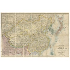
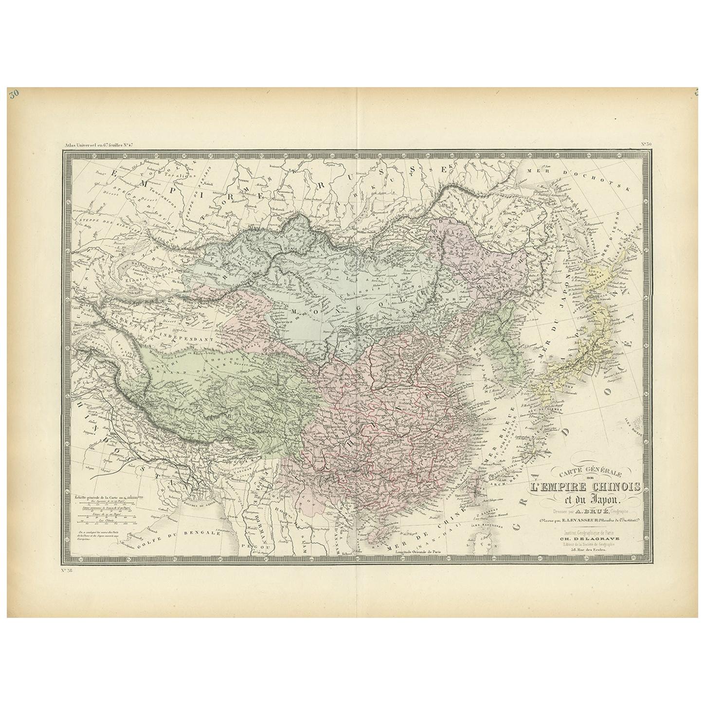
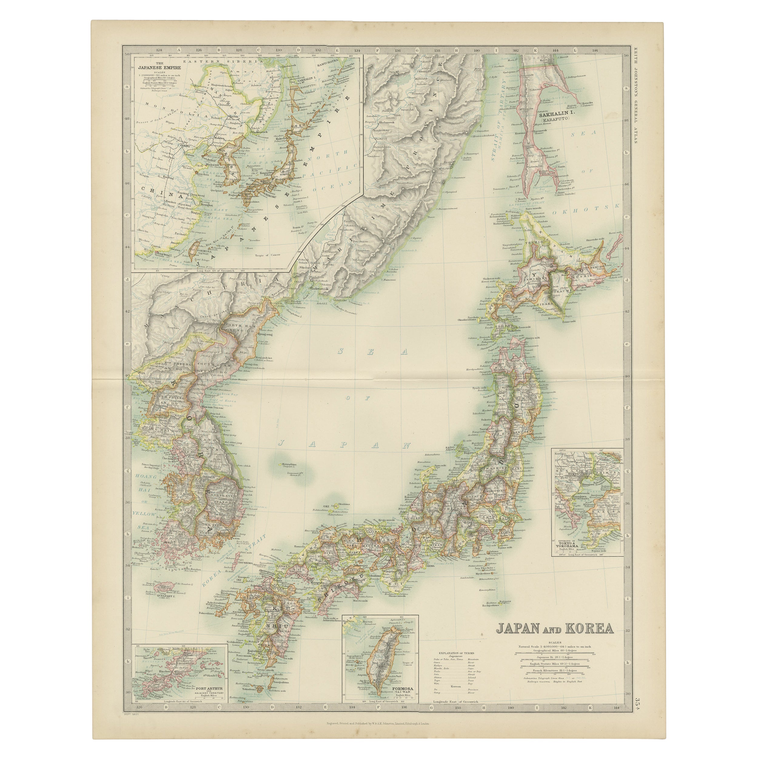
Antique Map of China and Japan by E. Stanford, 1900
View Similar Items


Want more images or videos?
Request additional images or videos from the seller
1 of 7
Antique Map of China and Japan by E. Stanford, 1900
About the Item
- Creator:E. Stanford (Artist)
- Dimensions:Height: 26.58 in (67.5 cm)Width: 40.56 in (103 cm)Depth: 0.02 in (0.5 mm)
- Materials and Techniques:
- Place of Origin:
- Period:
- Date of Manufacture:1900
- Condition:Folding map, mounted on linen. Original green cloth boards. Please study image carefully.
- Seller Location:Langweer, NL
- Reference Number:Seller: BG-113251stDibs: LU3054312177443
About the Seller
5.0
Platinum Seller
These expertly vetted sellers are 1stDibs' most experienced sellers and are rated highest by our customers.
Established in 2009
1stDibs seller since 2017
1,916 sales on 1stDibs
More From This SellerView All
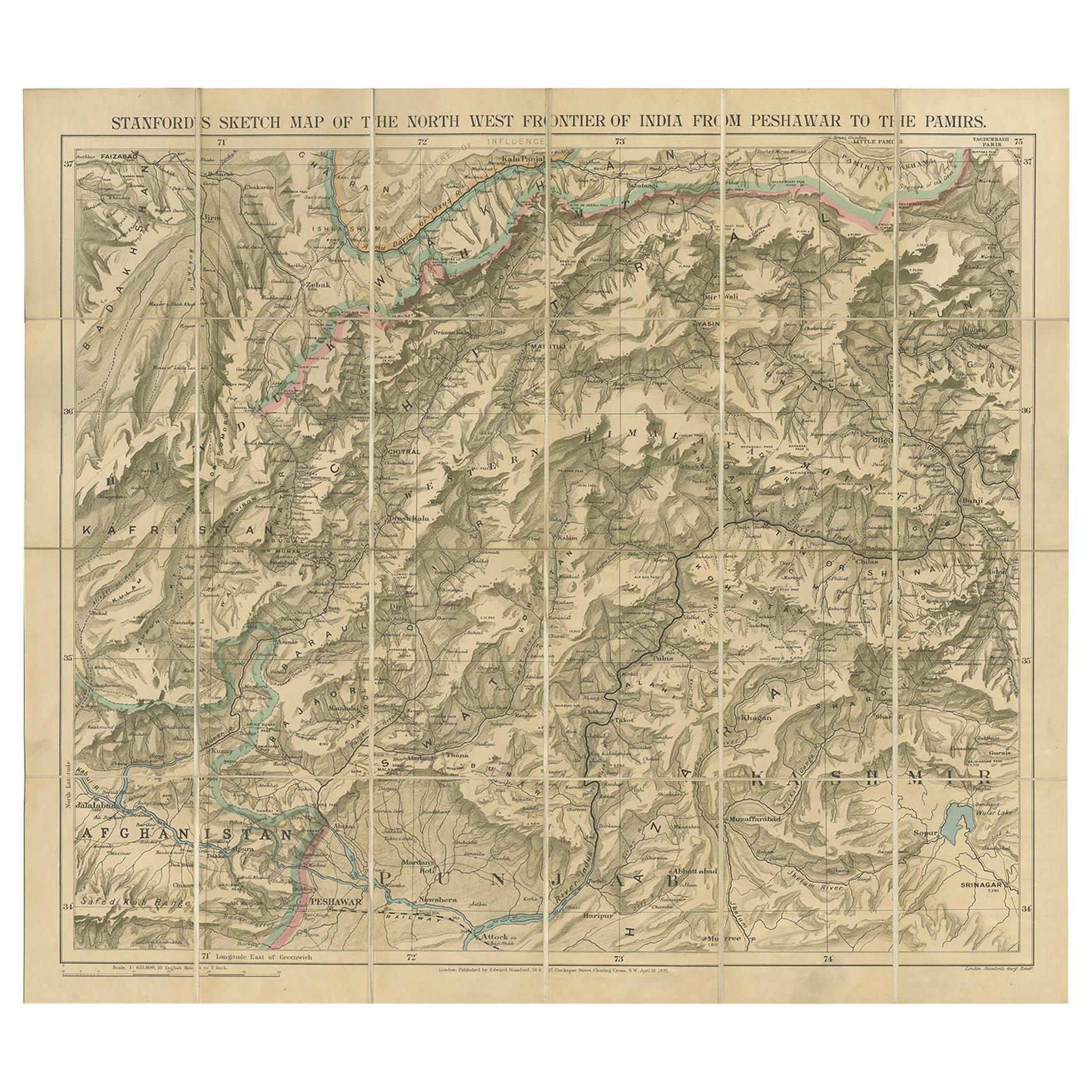
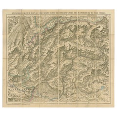
- Antique Map of the North-West Frontier by Stanford, 1895By E. StanfordLocated in Langweer, NLAntique map titled 'Stanford's Sketch Map of the North West Frontier of India from Peshawar to the Pamirs'. Linen backed folding map of the North-West Frontier of India from Peshawar...Category
Antique Late 19th Century Maps
MaterialsLinen, Paper
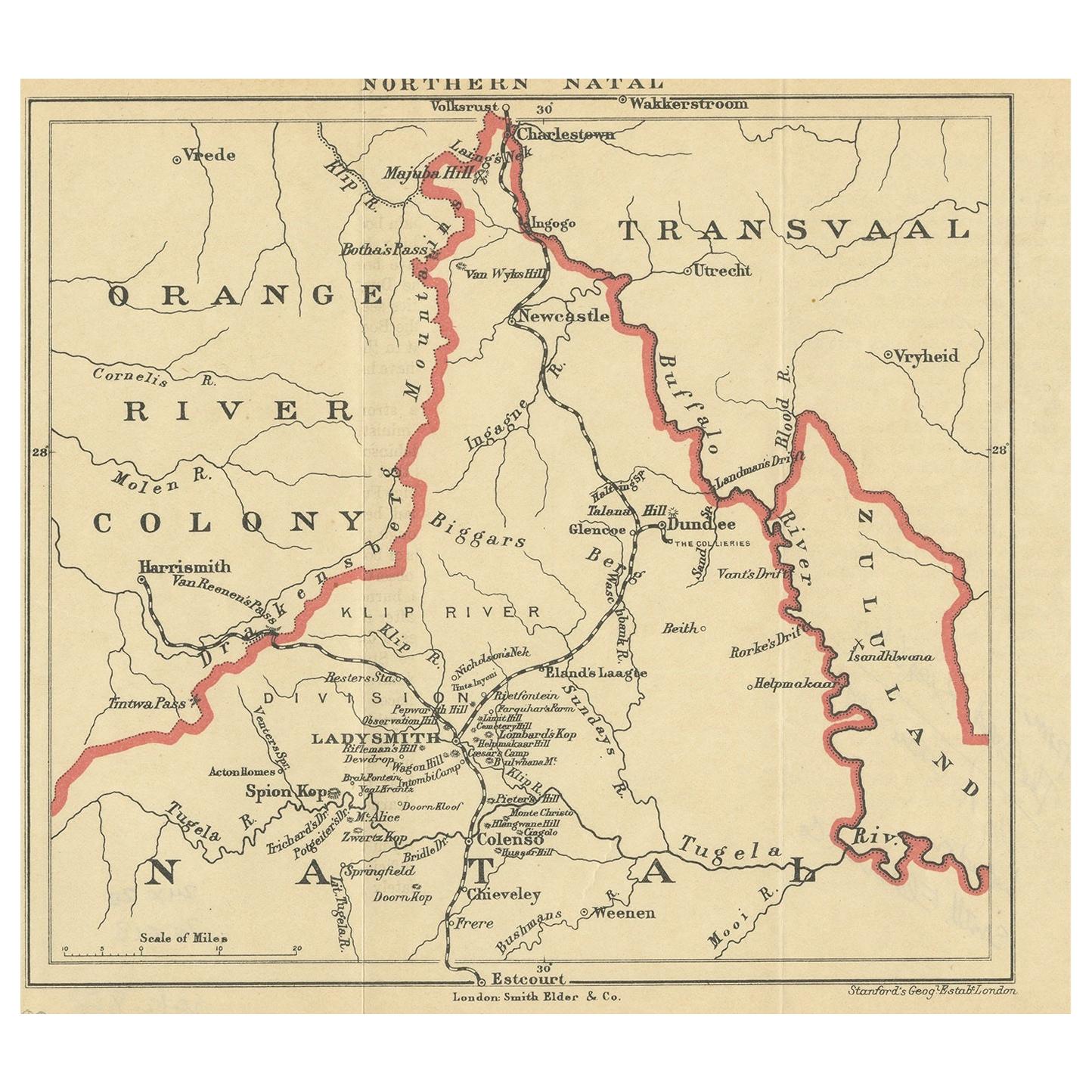
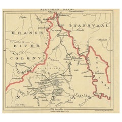
- Antique Map of Northern Natal by Stanford, 1900Located in Langweer, NLAntique map titled 'Northern Natal'. Lithograph of Northern Natal. The Colony of Natal was a British colony in south-eastern Africa. It was proclaimed a British colony on 4 May 1843 ...Category
Early 20th Century Maps
MaterialsPaper
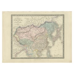
- Antique Map of China and Japan by Johnson, 1872Located in Langweer, NLAntique map titled 'Johnson's China and Japan'. Map of China and Japan, with an inset map of the vicinity of Canton and Hong Kong. This map originates from 'Johnson's New Illustrated...Category
Antique Late 19th Century Maps
MaterialsPaper
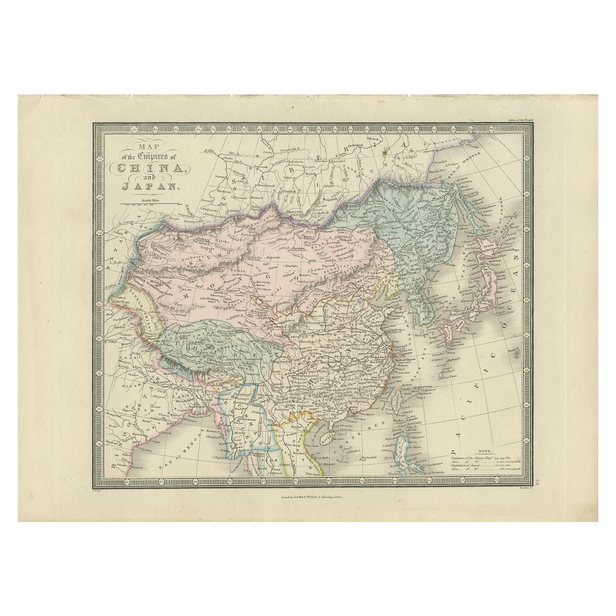
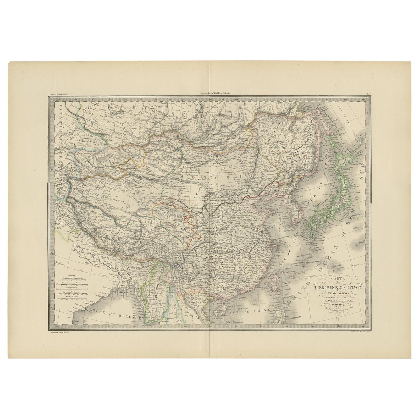
- Antique Map of China and Japan by Wyld '1845'Located in Langweer, NLAntique map titled 'Map of the Empires of China and Japan'. Original antique map of China and Japan. This map originates from 'An Atlas of the World, Comprehending Separate Maps of i...Category
Antique Mid-19th Century Maps
MaterialsPaper
 $196 Sale Price40% Off
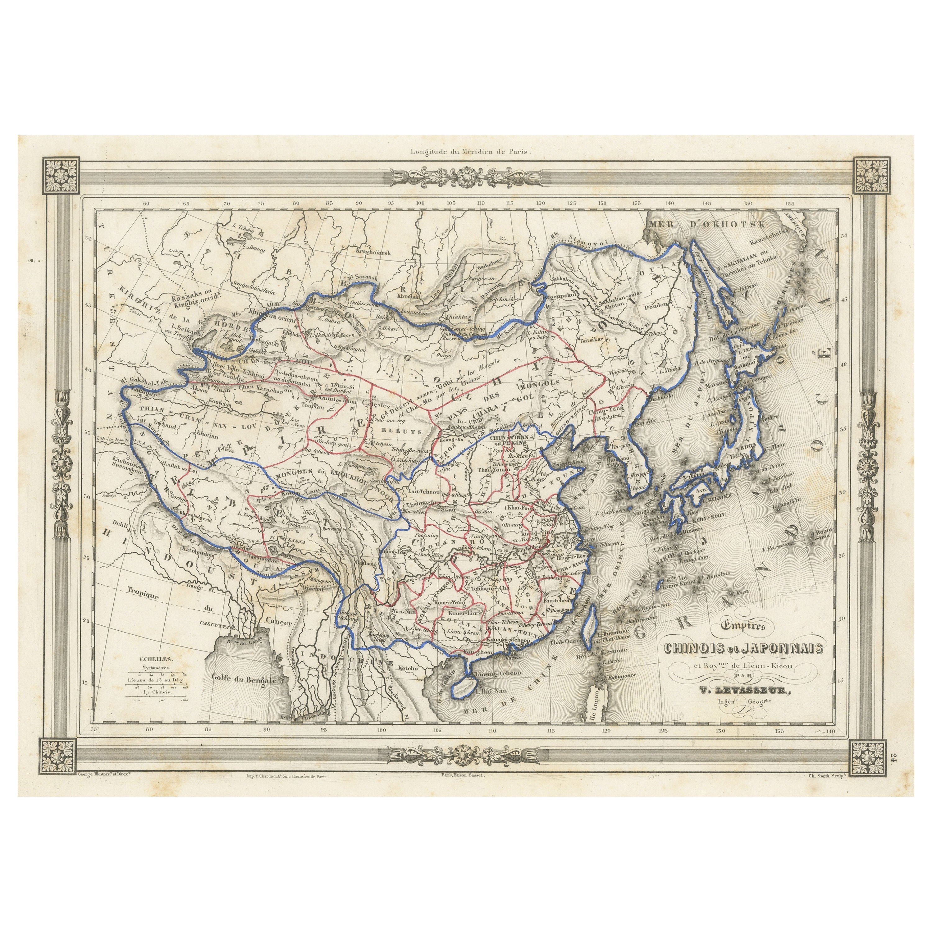
 - Antique Map of China and Japan by A.K. Johnston, 1865Located in Langweer, NLAntique map titled 'China and Japan'. Depicting Eastern China, the Islands of Japan and more. This map originates from the ‘Royal Atlas of Modern Geography’ by Alexander Keith Johnst...Category
Antique Mid-19th Century Maps
MaterialsPaper
 $240 Sale Price26% Off
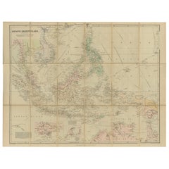
 - Antique Map of the Asiatic Archipelago by E. Stanford, circa 1910Located in Langweer, NLAntique folding map titled 'London Atlas Map of the Asiatic Archipelago'. Centered on the Philippines and Borneo, the map shows a number of different seasonal passages through the region to Hong Kong and Macao. With inset maps of Singapore...Category
20th Century Maps
MaterialsPaper

You May Also Like
- Original Antique Map of China by Thomas Clerk, 1817Located in St Annes, LancashireGreat map of China Copper-plate engraving Drawn and engraved by Thomas Clerk, Edinburgh. Published by Mackenzie And Dent, 1817 Unframed.Category
Antique 1810s English Maps
MaterialsPaper

- Original Antique Map of China, Arrowsmith, 1820Located in St Annes, LancashireGreat map of China Drawn under the direction of Arrowsmith Copper-plate engraving Published by Longman, Hurst, Rees, Orme and Brown, 1820 Unfr...Category
Antique 1820s English Maps
MaterialsPaper

- Antique Map of Italy by Andriveau-Goujon, 1843By Andriveau-GoujonLocated in New York, NYAntique Map of Italy by Andriveau-Goujon, 1843. Map of Italy in two parts by Andriveau-Goujon for the Library of Prince Carini at Palazzo Carini i...Category
Antique 1840s French Maps
MaterialsLinen, Paper
 $3,350 / set
 - Antique Map of Principality of MonacoBy Antonio Vallardi EditoreLocated in Alessandria, PiemonteST/619 - "Old Geographical Atlas of Italy - Topographic map of ex-Principality of Monaco" - ediz Vallardi - Milano - A somewhat special edition ---Category
Antique Late 19th Century Italian Other Prints
MaterialsPaper
 $227 Sale Price74% Off
 - Original Antique Map of Russia By Arrowsmith. 1820Located in St Annes, LancashireGreat map of Russia Drawn under the direction of Arrowsmith Copper-plate engraving Published by Longman, Hurst, Rees, Orme and Brown, 1820 Unframed.Category
Antique 1820s English Maps
MaterialsPaper

- Original Antique Map of Spain and Portugal by Thomas Clerk, 1817Located in St Annes, LancashireGreat map of Spain and Portugal Copper-plate engraving Drawn and engraved by Thomas Clerk, Edinburgh. Published by Mackenzie And Dent, 1817 Unframed.Category
Antique 1810s English Maps
MaterialsPaper
