Items Similar to Antique Map of Cologne with the duchies of Jülich and Berg, Germany
Want more images or videos?
Request additional images or videos from the seller
1 of 6
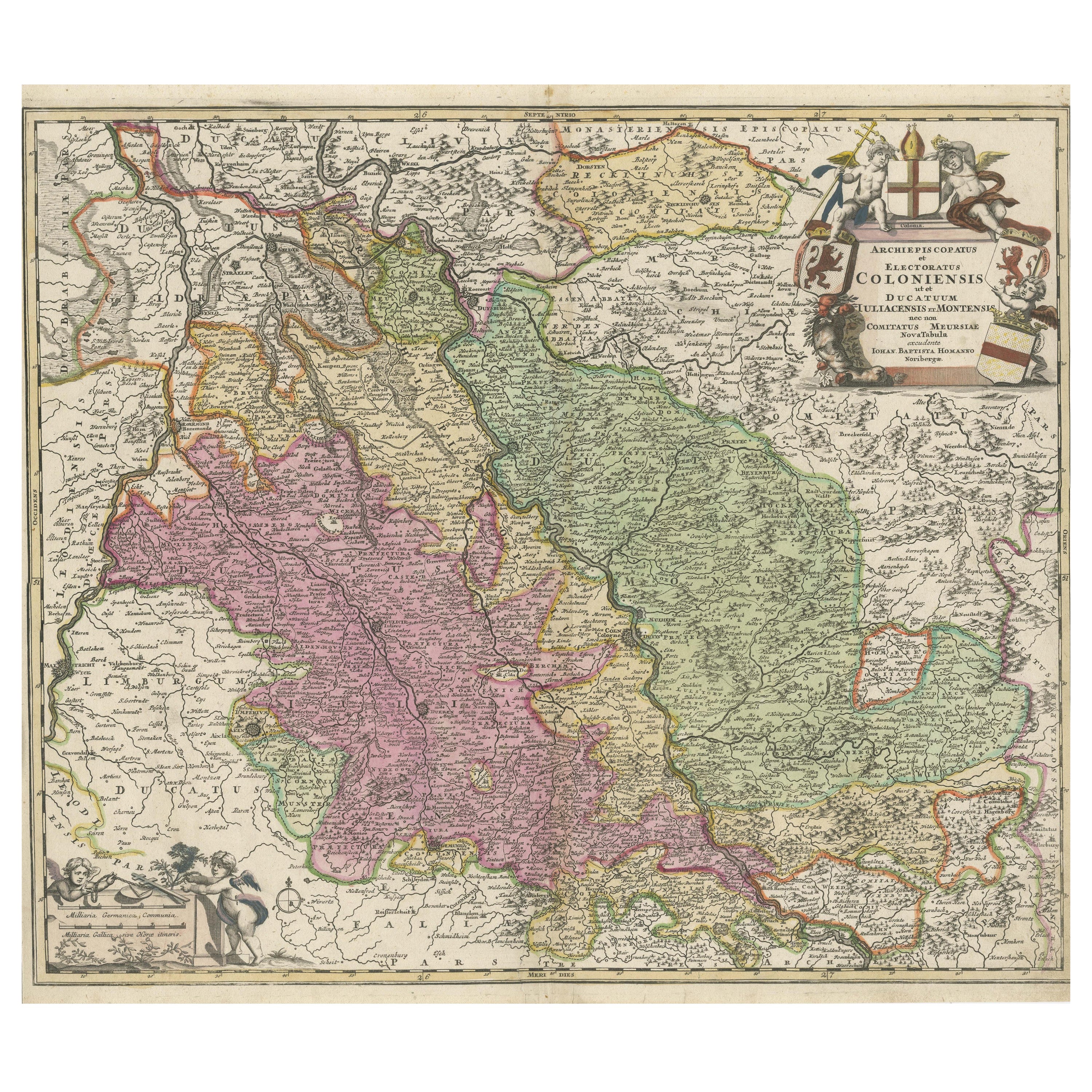
Antique Map of Cologne with the duchies of Jülich and Berg, Germany
About the Item
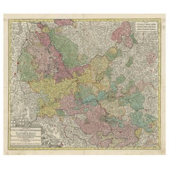
Antique map title 'Archiepiscopatus Coloniensis ducatibus Iuliacensi et Montensi (..)'. Original map of Cologne with the duchies of Jülich and Berg, Spanish Geldern and the county of Moers, Germany. With large cartouche surrounded by putti. Published by G. Valk, circa 1690.
- Dimensions:Height: 20.67 in (52.5 cm)Width: 24.02 in (61 cm)Depth: 0.02 in (0.5 mm)
- Materials and Techniques:
- Period:Late 17th Century
- Date of Manufacture:c.1690
- Condition:Repaired: Repair on folding line and bottom left corner. Right and top margin extended. Original/contemporary hand coloring. Repair on folding line and bottom left corner. Right and top margin extended. Age-related toning. Minor wear and soiling. Blank verso. Please study image carefully.
- Seller Location:Langweer, NL
- Reference Number:
About the Seller
5.0
Platinum Seller
These expertly vetted sellers are 1stDibs' most experienced sellers and are rated highest by our customers.
Established in 2009
1stDibs seller since 2017
1,919 sales on 1stDibs
Typical response time: <1 hour
- ShippingRetrieving quote...Ships From: Langweer, Netherlands
- Return PolicyA return for this item may be initiated within 14 days of delivery.
More From This SellerView All
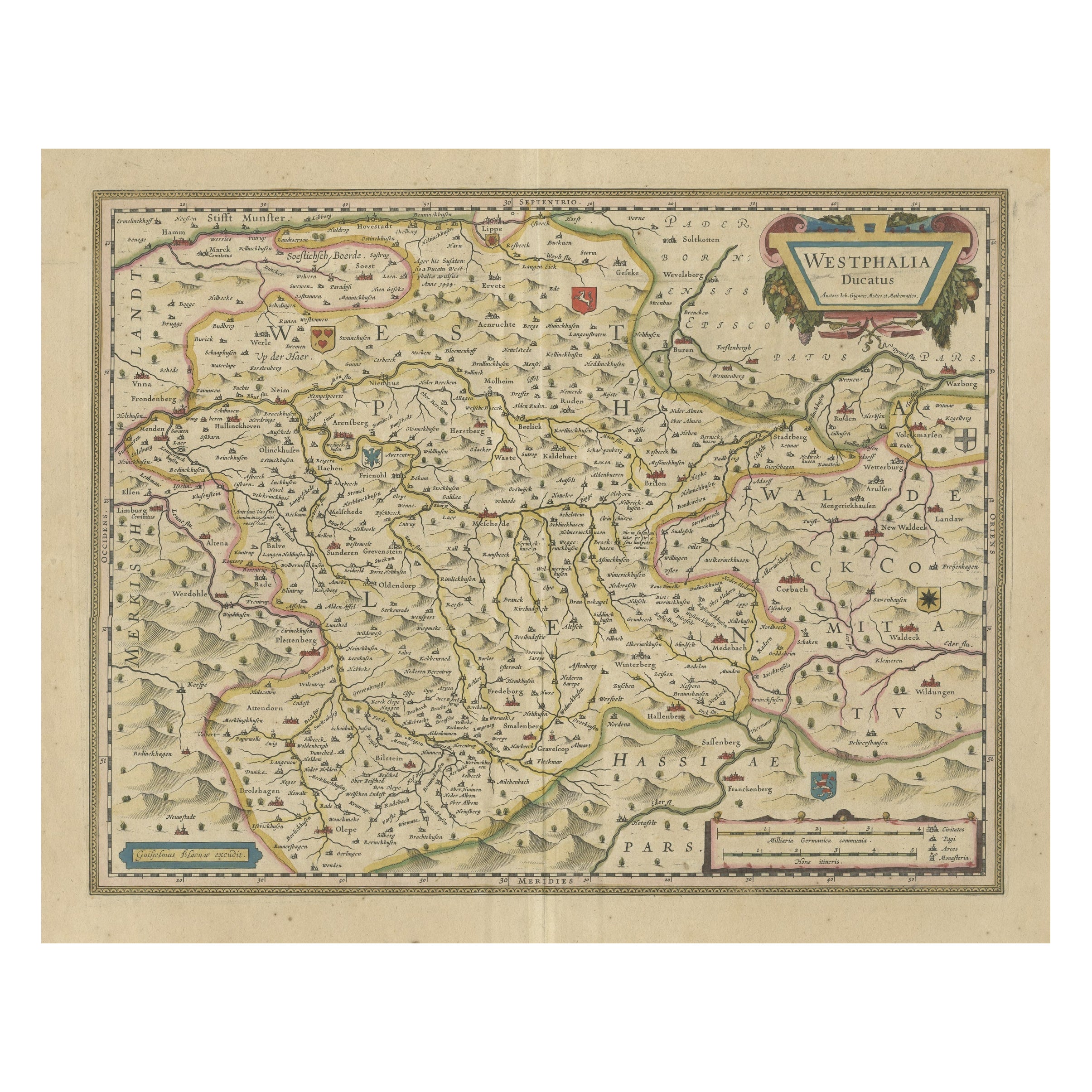
- Antique Map of the Duchy of Westphalia, GermanyLocated in Langweer, NLOriginal antique map titled 'Westphalia Ducatus'. Fine map of the Duchy of Westphalia, Germany. The map is centered on Meschede and includes Arensberg, Beelick, and Brilon. Published...Category
Antique Mid-17th Century Maps
MaterialsPaper
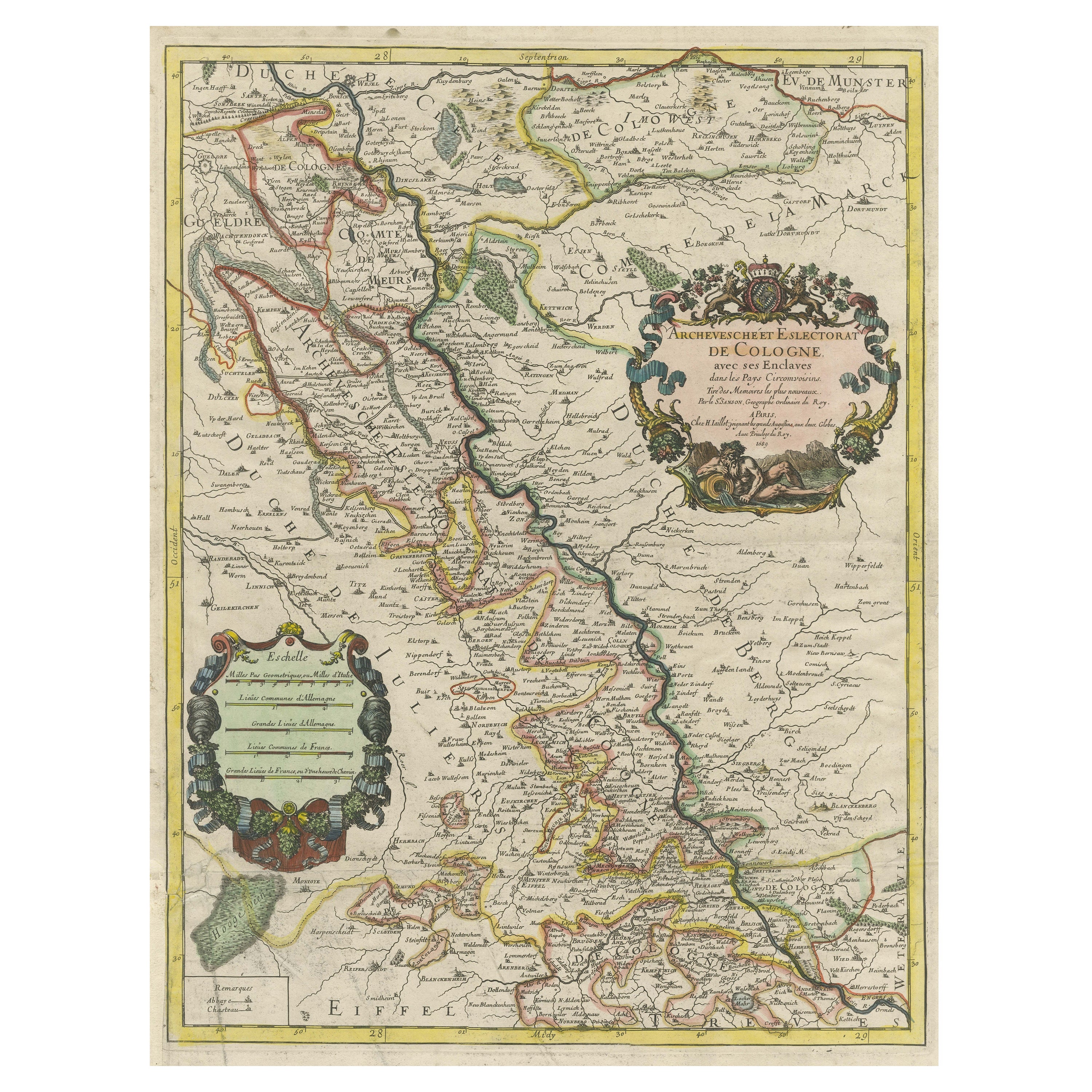
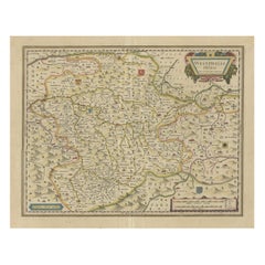
- Antique Map of the Archdiocese of Cologne, GermanyLocated in Langweer, NLAntique map titled 'Archevesche et Eslectorat de Cologne avec ses Enclaves'. Original old map of the Archdiocese of Cologne with the course of the Rhine from Andernach to Wesel with ...Category
Antique Late 17th Century Maps
MaterialsPaper
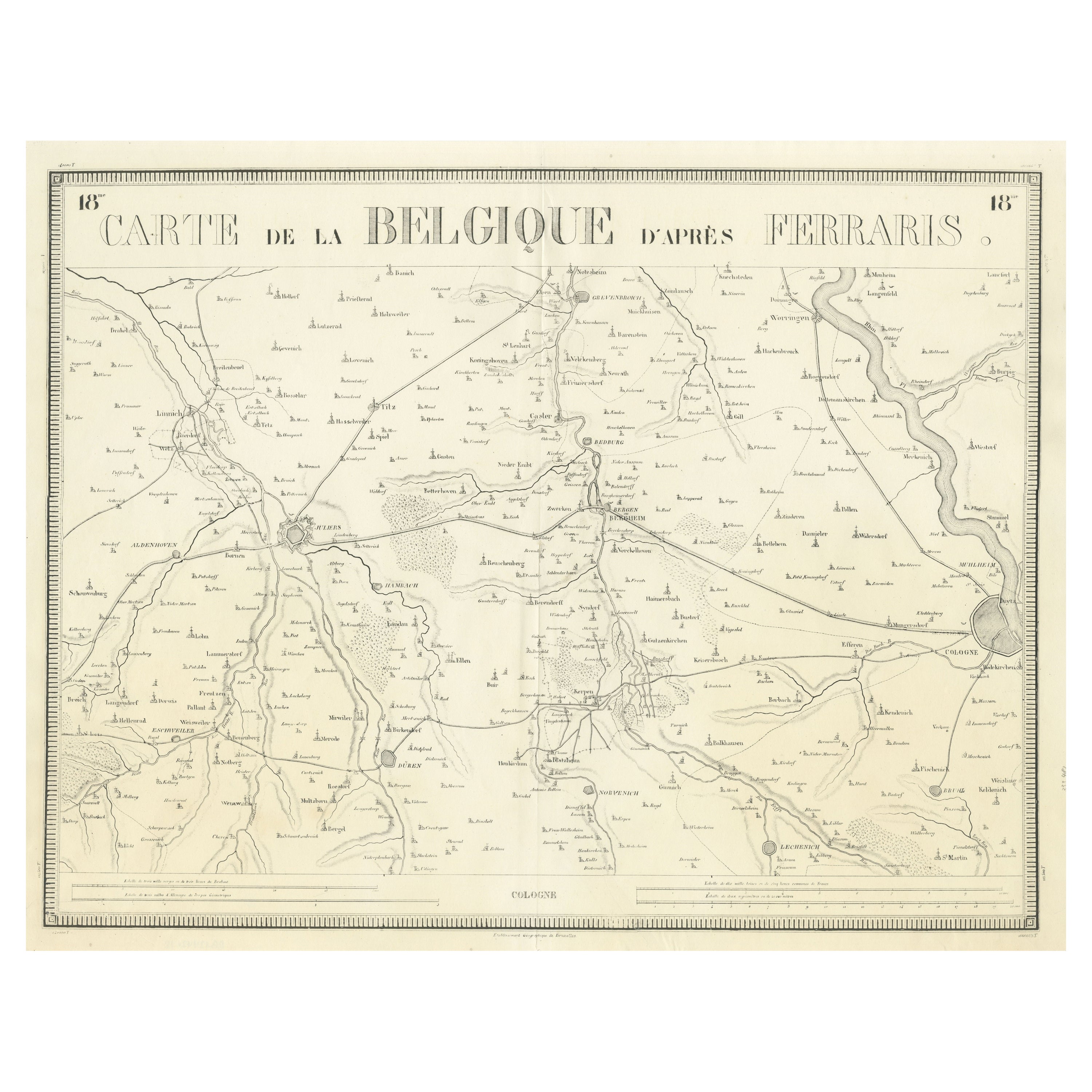
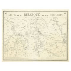
- Antique Map of the Region near Cologne, GermanyLocated in Langweer, NLAntique map titled 'Carte de la Belgique d'après Ferraris'. Original antique map of the region near Cologne, Germany. Cologne is the largest city of the German western state of North...Category
Antique Mid-19th Century Maps
MaterialsPaper
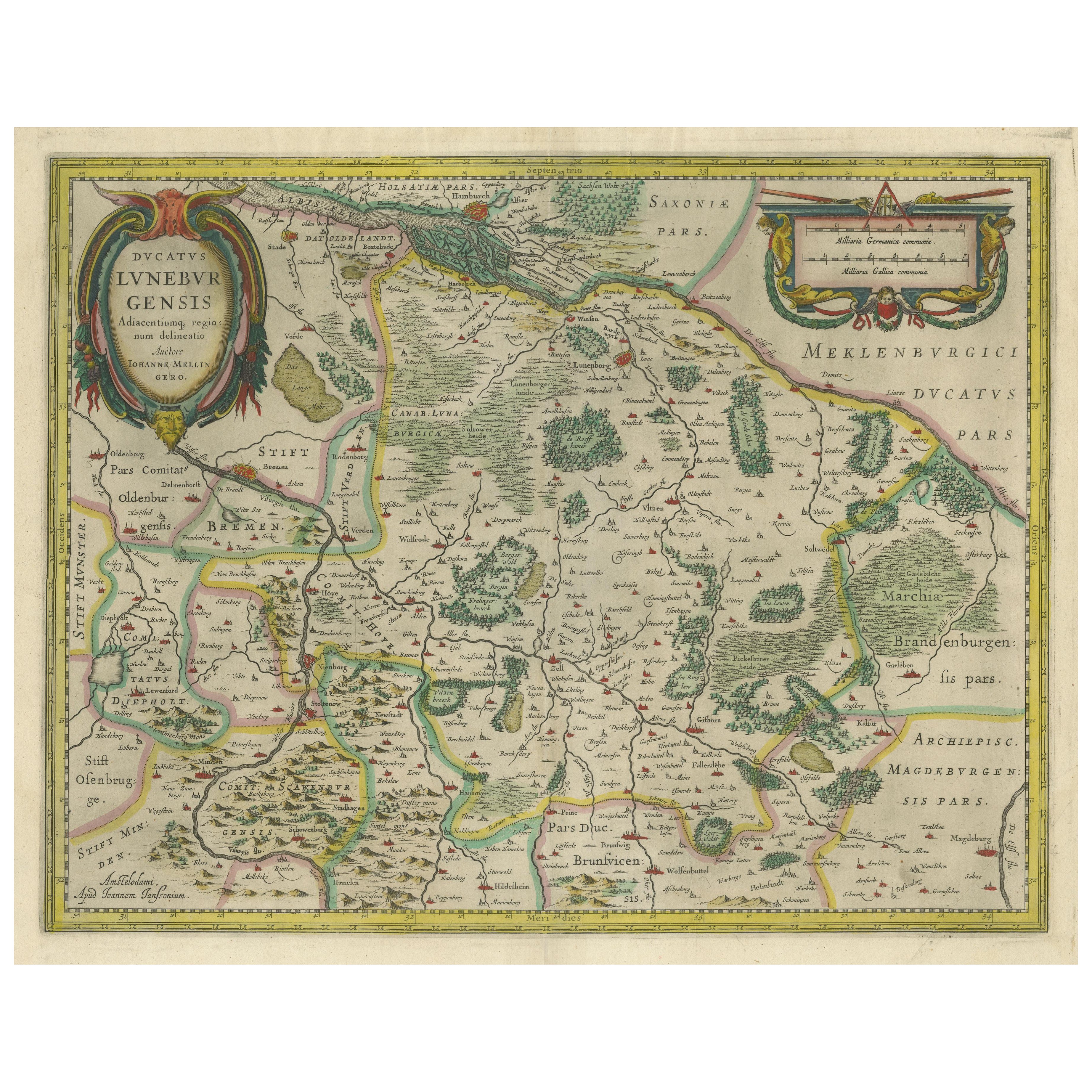
- Antique Map of the Duchy of Lüneburg, Lower Saxony, GermanyLocated in Langweer, NLAntique map titled 'Ducatus Luneburgensis (..)'. Map of the Duchy of Lüneburg in Lower Saxony, Germany. Published by J. Janssonius, circa 1664. Jan Janssonius (also known as Johann ...Category
Antique Mid-17th Century Maps
MaterialsPaper
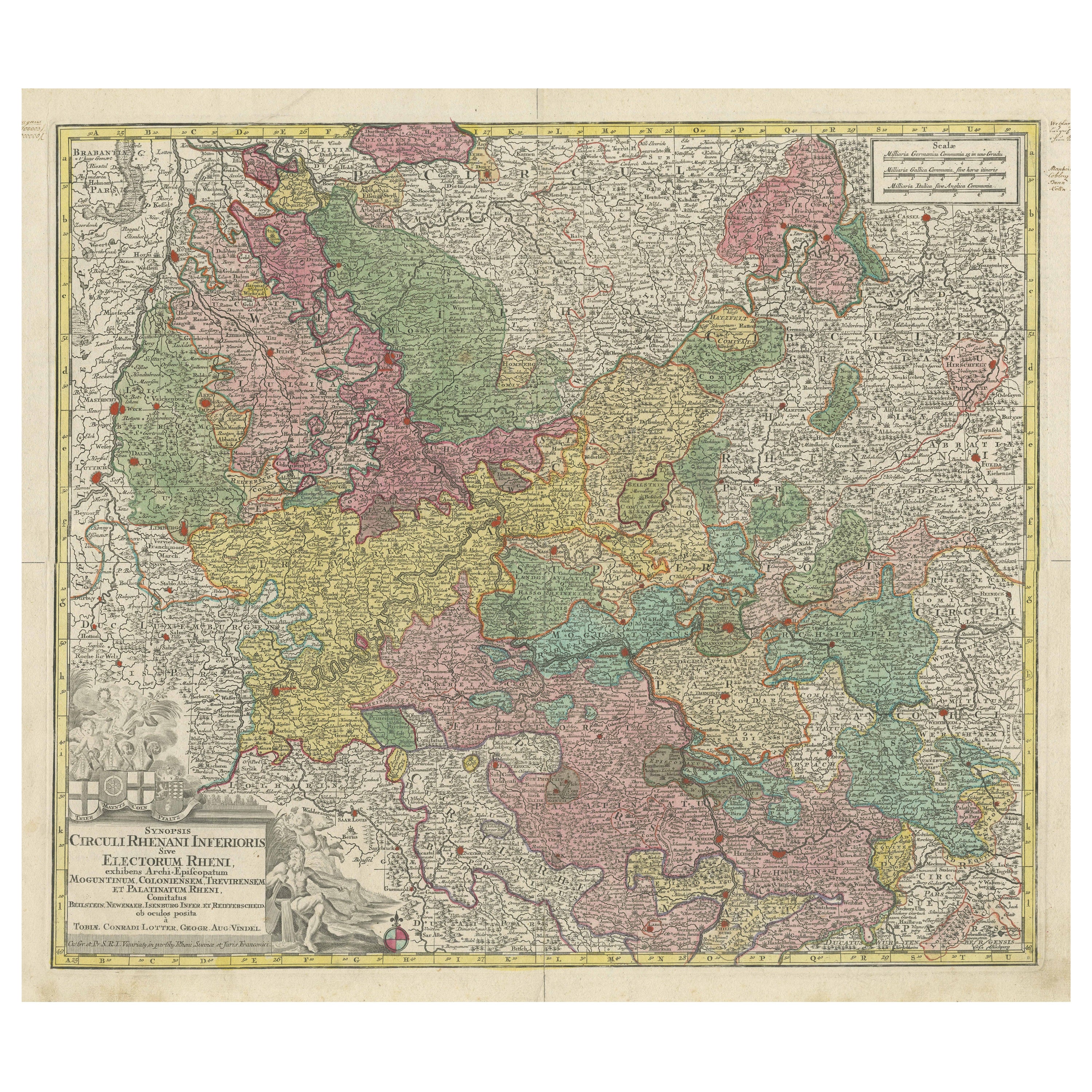
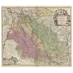
- Antique Map of the region of Trier, Mainz and Cologne, GermanyLocated in Langweer, NLAntique map titled 'Synopsis Circuli Rhenani Inferioris sive Electorum Rheni (..)'. Original antique map of the region of Trier, Mainz and Cologne, Germany. Published by T.C. Lotter,...Category
Antique Late 18th Century Maps
MaterialsPaper
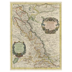
- Antique Map of the Rhine centered on Cologne, GermanyLocated in Langweer, NLAntique map titled 'Archiepsiscopatus et Electoratus Coloniensis (..)'. Original antique map of the Rhine river, centered on Cologne, Germany. The Rhine River cuts across this map fr...Category
Antique Early 18th Century Maps
MaterialsPaper

You May Also Like
- 1861 Topographical Map of the District of Columbia, by Boschke, Antique MapLocated in Colorado Springs, COPresented is an original map of Albert Boschke's extremely sought-after "Topographical Map of the District of Columbia Surveyed in the Years 1856 ...Category
Antique 1860s American Historical Memorabilia
MaterialsPaper
- East German MapBy VEB Hermann HaackLocated in Baltimore, MDA brilliantly colourful map of the Leipzig, Karl Marx Stadt and Dresden area in the former German Democratic Republic by VEB Hermann Haack of Gotha.Category
Vintage 1970s German Maps
- Set of 4 Antique Geographical Maps French-German War 1870-71Located in Casale Monferrato, ITElegant late 19th century set of four antique geographical maps relating to the positioning of the armies in the Franco-German War 1870-71. A...Category
Antique 1890s Italian Maps
MaterialsPaper
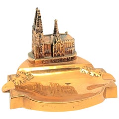
- Cologne Cathedral Church Souvenir Building Ashtray Vintage, German, 1960sLocated in Nuernberg, DEA 1960s souvenir building architectural model Ashtray. Some wear with a nice patina, but this is old-age. Made of metal. A beautiful nice desktop item or just a display item in your ...Category
Mid-20th Century German Mid-Century Modern Architectural Models
MaterialsMetal
- 1854 Map of Massachusetts, Connecticut and Rhode Island, Antique Wall MapLocated in Colorado Springs, COThis striking wall map was published in 1854 by Ensign, Bridgman & Fanning and has both full original hand-coloring and original hardware. This impression is both informative and highly decorative. The states are divided into counties, outlined in red, green, and black, and subdivided into towns. Roads, canals, and railroad lines are prominently depicted, although they are not all labeled. The mapmakers also marked lighthouses, banks, churches, and prominent buildings, with a key at right. The map is an informative and comprehensive overview of the infrastructural development of New England prior to the Civil War. Physical geographies depicted include elevation, conveyed with hachure marks, rivers and lakes. The impression features an inset map of Boston...Category
Antique 19th Century American Maps
MaterialsPaper
- Original Antique Map of the American State of Oregon, 1889Located in St Annes, LancashireGreat map of Oregon Drawn and Engraved by W. & A.K. Johnston Published By A & C Black, Edinburgh. Original colour Unframed.Category
Antique 1880s Scottish Victorian Maps
MaterialsPaper


Recently Viewed
View AllMore Ways To Browse
Map Of Ural
Rail Road Collectables
Australasia Antique Map
The Grand Mogol
Antique Map Austro Hungarian
Antique Montana Map
Map Of Montana
Mauritius Antique Map
Manchester Antique Map
Georgetown Map
Guatemala Antique Map
Map Montana
Montana Maps
Antique Chesapeake Bay Map
Antique Map Of Chesapeake Bay
J Thayer
Indie Vintage
Paraguay Antique Map