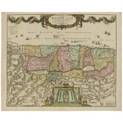
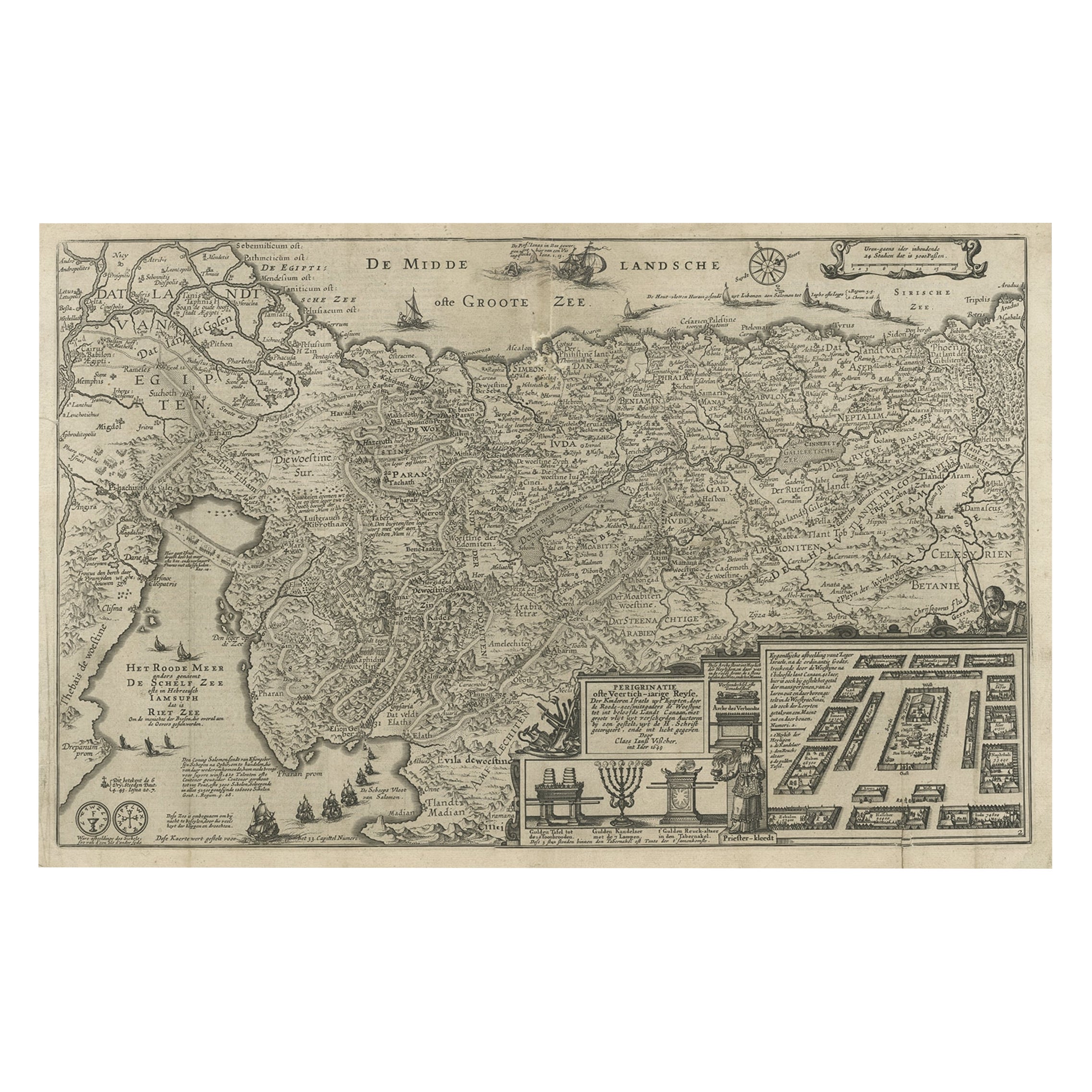
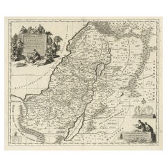
Antique Map of the Holy Land, Israel by J.B. Elwe, 1792
View Similar Items


Want more images or videos?
Request additional images or videos from the seller
1 of 9
Antique Map of the Holy Land, Israel by J.B. Elwe, 1792
About the Item
- Dimensions:Height: 21.07 in (53.5 cm)Width: 25.79 in (65.5 cm)Depth: 0.02 in (0.5 mm)
- Materials and Techniques:
- Period:
- Date of Manufacture:1792
- Condition:Please study image carefully.
- Seller Location:Langweer, NL
- Reference Number:Seller: BGI-002201stDibs: LU305439153251
About the Seller
5.0
Platinum Seller
These expertly vetted sellers are 1stDibs' most experienced sellers and are rated highest by our customers.
Established in 2009
1stDibs seller since 2017
1,947 sales on 1stDibs
More From This SellerView All
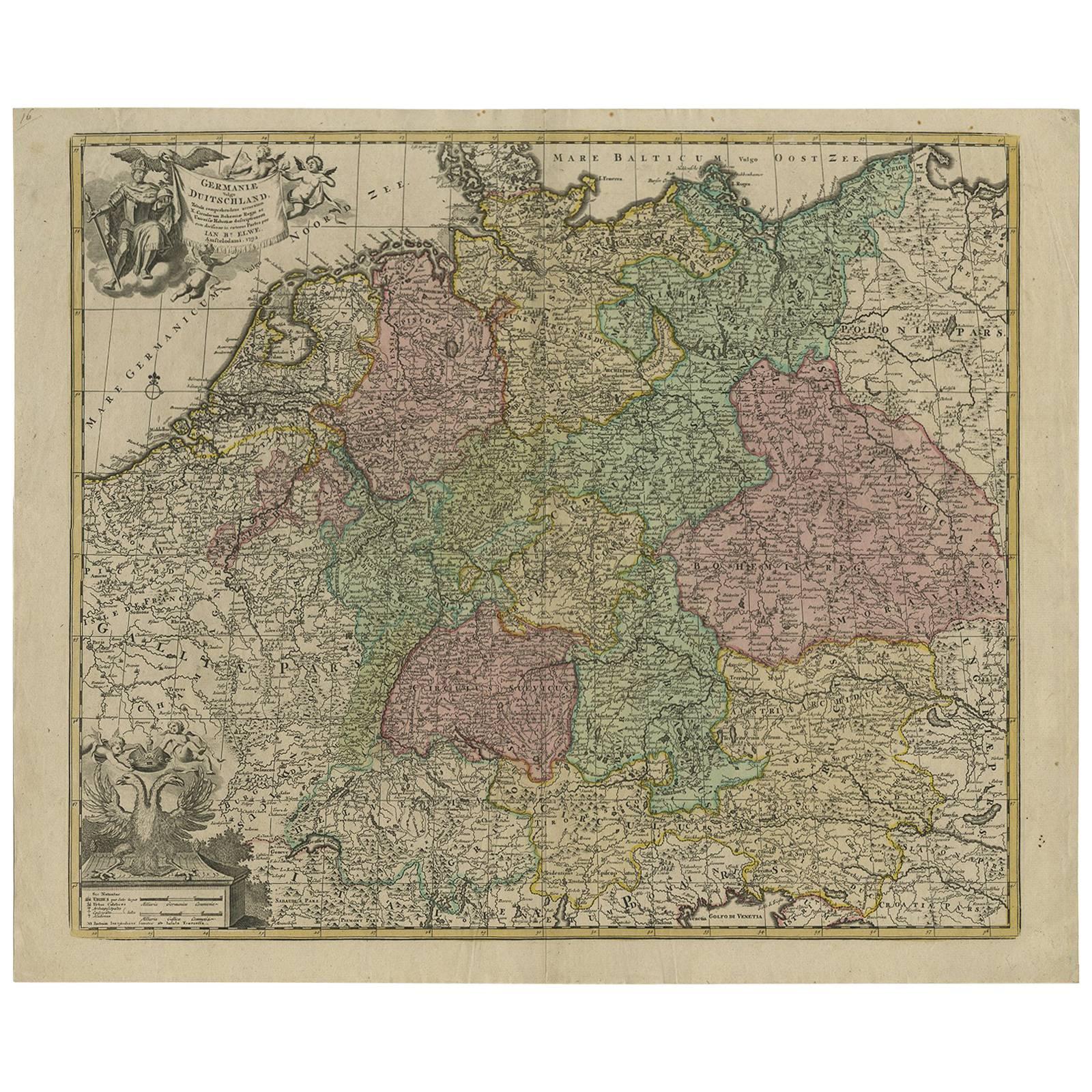
- Antique Map of Germany by J.B. Elwe, 1792Located in Langweer, NLAntique map titled 'Germanie vulgo Duitschland (..)'. Decorative map of Germany with Silesia, Bohemia , Netherlands, Belgium, Elzas, Switzerland, Tyrol and Austria. With two cartouch...Category
Antique Late 18th Century Maps
MaterialsPaper
 $747 Sale Price20% Off
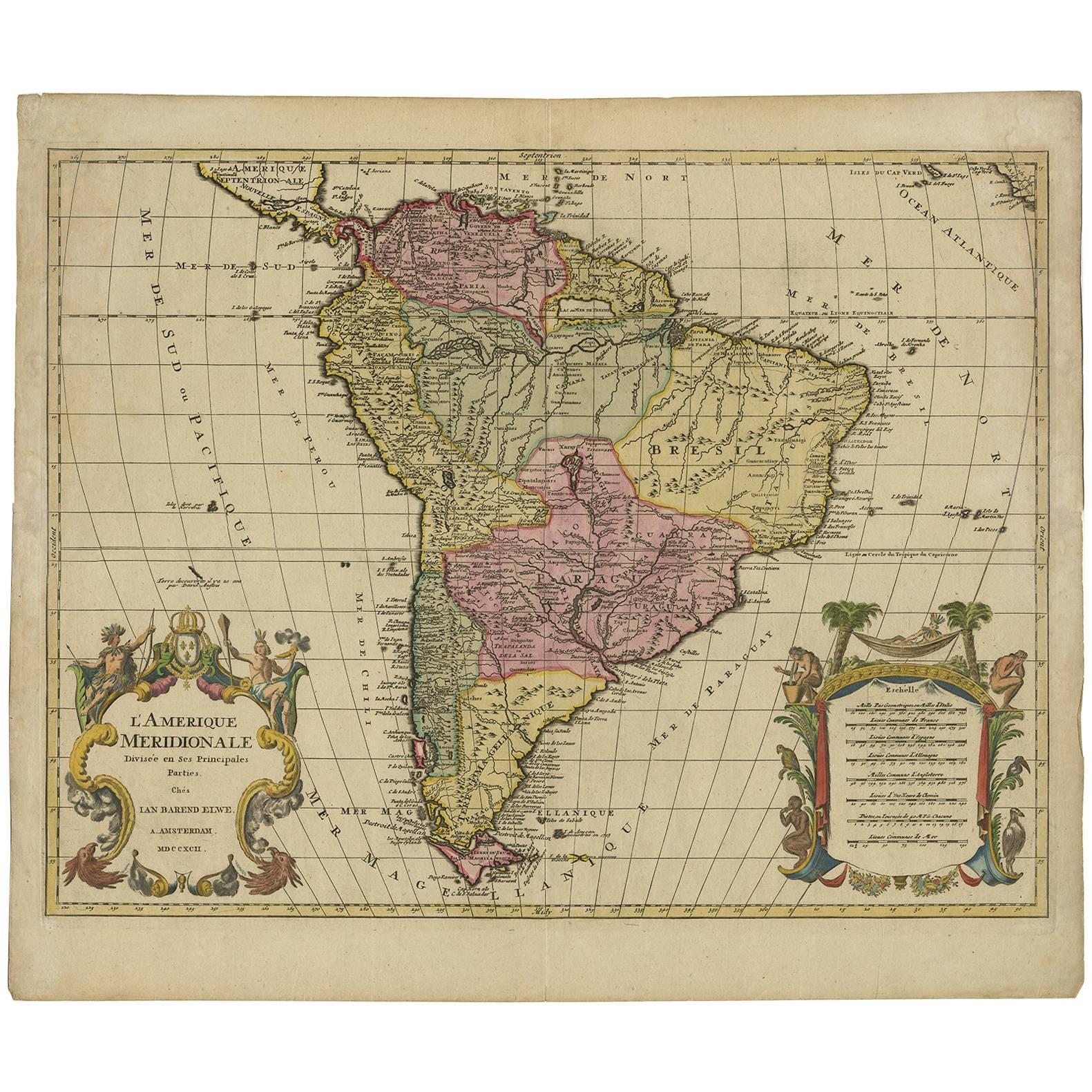
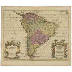
 - Decorative Original HandColoredAntique Map of South America by J.B. Elwe, 1792By J.B. ElweLocated in Langweer, NLThis image depicts 'L'Amerique Meridionale', an antique map of South America. The map is carefully hand-colored, showcasing the diverse countries within the continent, including Braz...Category
Antique Late 18th Century Maps
MaterialsPaper
- Original Hand-Colored Antique Map of Africa by Elwe '1792'Located in Langweer, NLAntique map titled 'l'Afrique Divisée en ses Empires, Royaumes, et Etats'. Decorative large map of Africa. The cartography is typical for the 17th century with the Nile originating i...Category
Antique Late 18th Century Maps
MaterialsPaper
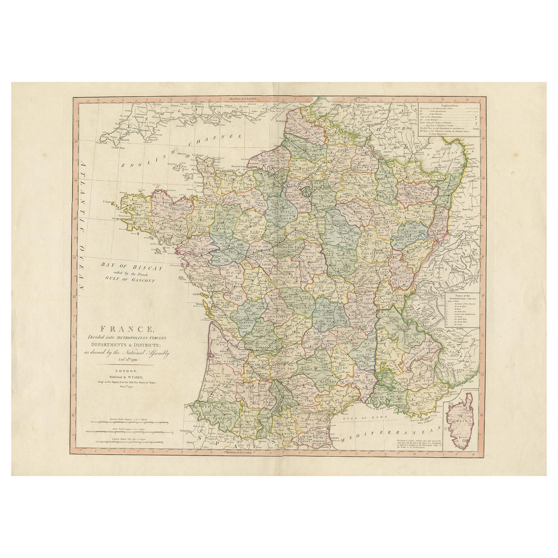
- Antique Hand-Colored Map of France by J.B. Elwe, 1792Located in Langweer, NLAntique map titled 'Carte Nouvelle du Royaume de France'. Beautiful antique map of France, including the Southern part of England. Decorated with cartouche and 12 coats of arms.Category
Antique Late 18th Century Maps
MaterialsPaper

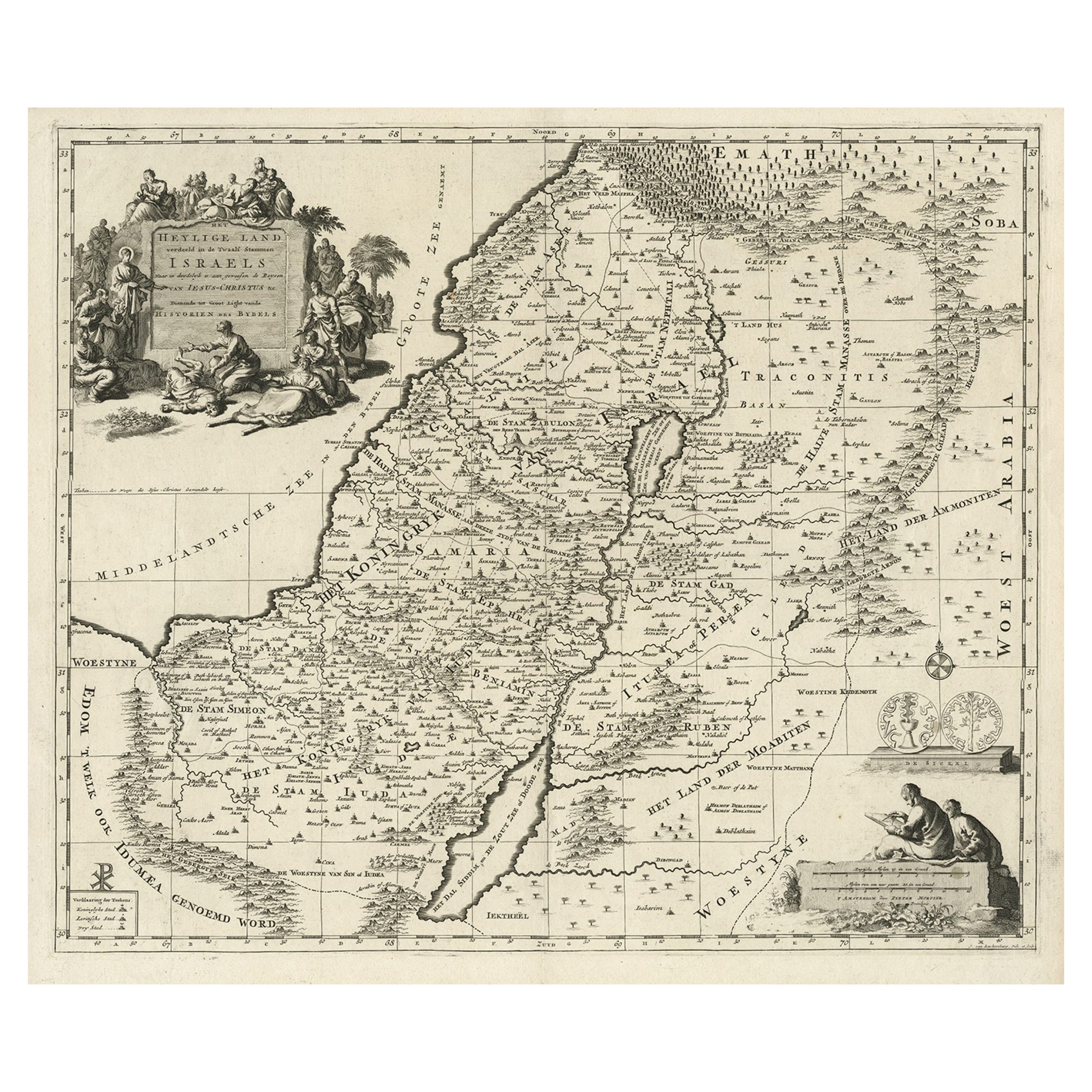
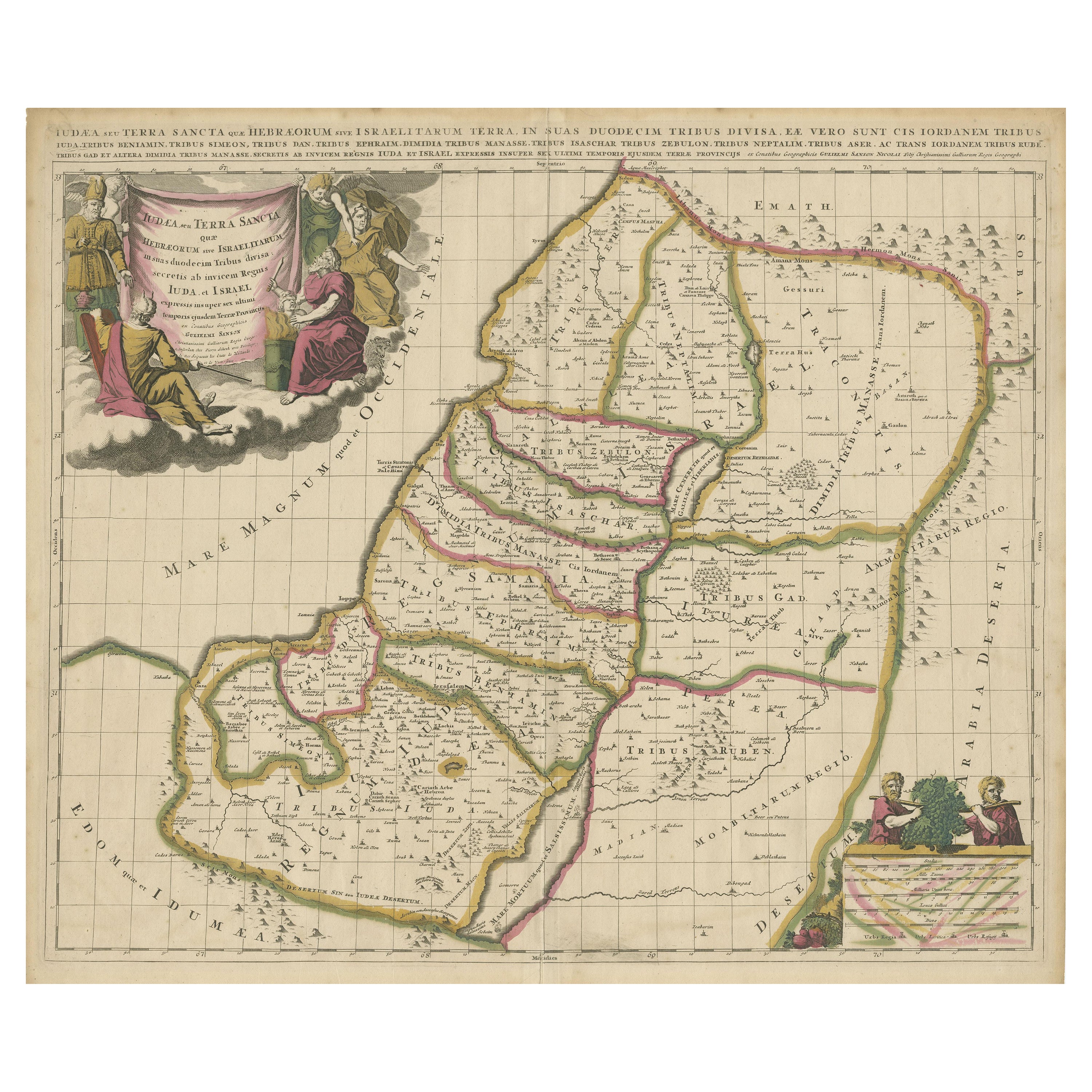
- Highly Detailed Antique Map of the Holy Land Showing 12 Tribes of Israel, c.1720Located in Langweer, NLAntique map titled 'Heylige Land verdeeld in de Twaalf Stammen Israels (..).' Highly detailed map of the Holy Land divided into 12 tribes of Israel...Category
Antique 1720s Maps
MaterialsPaper
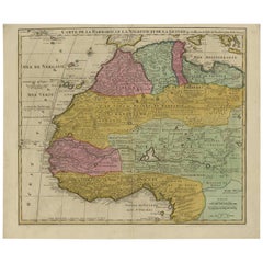
- Antique Map of North and West Africa by J.B. Elwe, 1792Located in Langweer, NLBeautiful richly engraved map of North and West Africa, based upon the earlier maps of De L'Isle. Richly annotated throughout and with excellent regional detail. Too much detail to d...Category
Antique Late 19th Century Maps
MaterialsPaper
 $875 Sale Price20% Off

You May Also Like
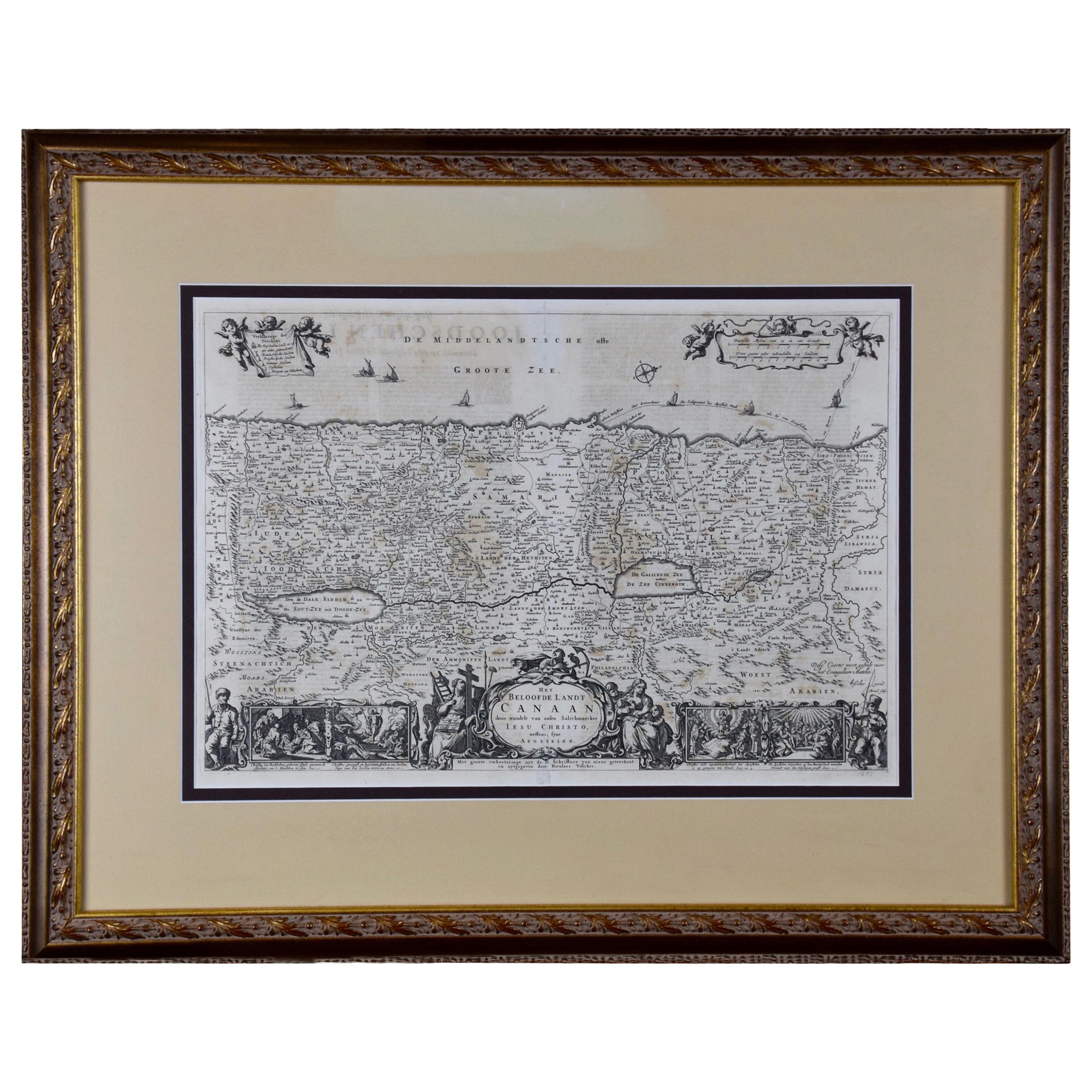
- The Holy Land at the Time of Jesus: A 17th Century Dutch Map by VisscherBy Nicolaes Visscher IILocated in Alamo, CAThis detailed Dutch map entitled "Het Beloofe de Landt Canaan door wandelt van onsen Salichmaecker Iesu Christo, nessens syne Apostelen" by Nicolaes Visscher was published in Amsterd...Category
Antique Mid-17th Century Dutch Maps
MaterialsPaper
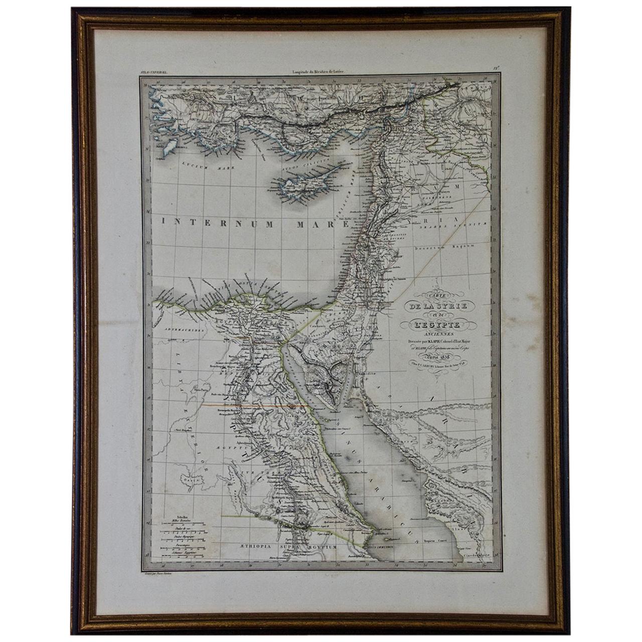
- Map of the Holy Land "Carte de la Syrie et de l'Egypte" by Pierre M. LapieBy Pierre M. LapieLocated in Alamo, CAAn early 19th century map of ancient Syria and Egypt entitled "Carte de la Syrie et de l'Egypte anciennes/dressée par M. Lapie, Colonel d'Etat Major, et...Category
Antique Early 19th Century French Maps
MaterialsPaper
- Original Antique Map of The Netherlands, Engraved by Barlow, Dated 1807Located in St Annes, LancashireGreat map of Netherlands Copper-plate engraving by Barlow Published by Brightly & Kinnersly, Bungay, Suffolk. Dated 1807 Unframed.Category
Antique Early 1800s English Maps
MaterialsPaper
- Map of the Republic of GenoaLocated in New York, NYFramed antique hand-coloured map of the Republic of Genoa including the duchies of Mantua, Modena, and Parma. Europe, late 18th century. Dimension: 25...Category
Antique Late 18th Century European Maps
- Antique Map of Italy by Andriveau-Goujon, 1843By Andriveau-GoujonLocated in New York, NYAntique Map of Italy by Andriveau-Goujon, 1843. Map of Italy in two parts by Andriveau-Goujon for the Library of Prince Carini at Palazzo Carini i...Category
Antique 1840s French Maps
MaterialsLinen, Paper
 $3,350 / set
 - Antique Map of Principality of MonacoBy Antonio Vallardi EditoreLocated in Alessandria, PiemonteST/619 - "Old Geographical Atlas of Italy - Topographic map of ex-Principality of Monaco" - ediz Vallardi - Milano - A somewhat special edition ---Category
Antique Late 19th Century Italian Other Prints
MaterialsPaper
 $228 Sale Price74% Off


Recently Viewed
View AllMore Ways To Browse
Antique B
Antique Israel
Israel Antique
Used Tabernacle
Used Tabernacles
Bottom Of The Boat
Antique Furniture Israel
Antique Tabernacle
Antique Tabernacles
Aarons Used Furniture
A J B Engraving
Maps Of Mediterranean
Antique Map Orient
Antique Map Mediterranean
Desert Engravings
Whale Antique
Tribes Of Israel
Twelve Tribes