Antique Map of Jura, a Famous Wine Area in France, 1854
View Similar Items

Want more images or videos?
Request additional images or videos from the seller
1 of 7
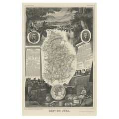
Antique Map of Jura, a Famous Wine Area in France, 1854
About the Item
- Dimensions:Height: 14.38 in (36.5 cm)Width: 20.87 in (53 cm)Depth: 0 in (0.01 mm)
- Materials and Techniques:
- Period:
- Date of Manufacture:1854
- Condition:Condition: Good, general age-related toning. Some creasing, mainly in lower part of the map. Blank verso, please study image carefully.
- Seller Location:Langweer, NL
- Reference Number:Seller: BG-12418-211stDibs: LU3054326545002
About the Seller
5.0
Recognized Seller
These prestigious sellers are industry leaders and represent the highest echelon for item quality and design.
Gold Seller
Premium sellers maintaining a 4.3+ rating and 24-hour response times
Established in 2009
1stDibs seller since 2017
2,467 sales on 1stDibs
Typical response time: 1 hour
Authenticity Guarantee
In the unlikely event there’s an issue with an item’s authenticity, contact us within 1 year for a full refund. DetailsMoney-Back Guarantee
If your item is not as described, is damaged in transit, or does not arrive, contact us within 7 days for a full refund. Details24-Hour Cancellation
You have a 24-hour grace period in which to reconsider your purchase, with no questions asked.Vetted Professional Sellers
Our world-class sellers must adhere to strict standards for service and quality, maintaining the integrity of our listings.Price-Match Guarantee
If you find that a seller listed the same item for a lower price elsewhere, we’ll match it.Trusted Global Delivery
Our best-in-class carrier network provides specialized shipping options worldwide, including custom delivery.More From This Seller
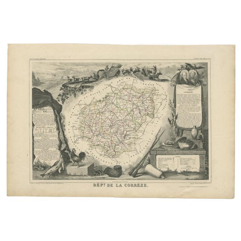
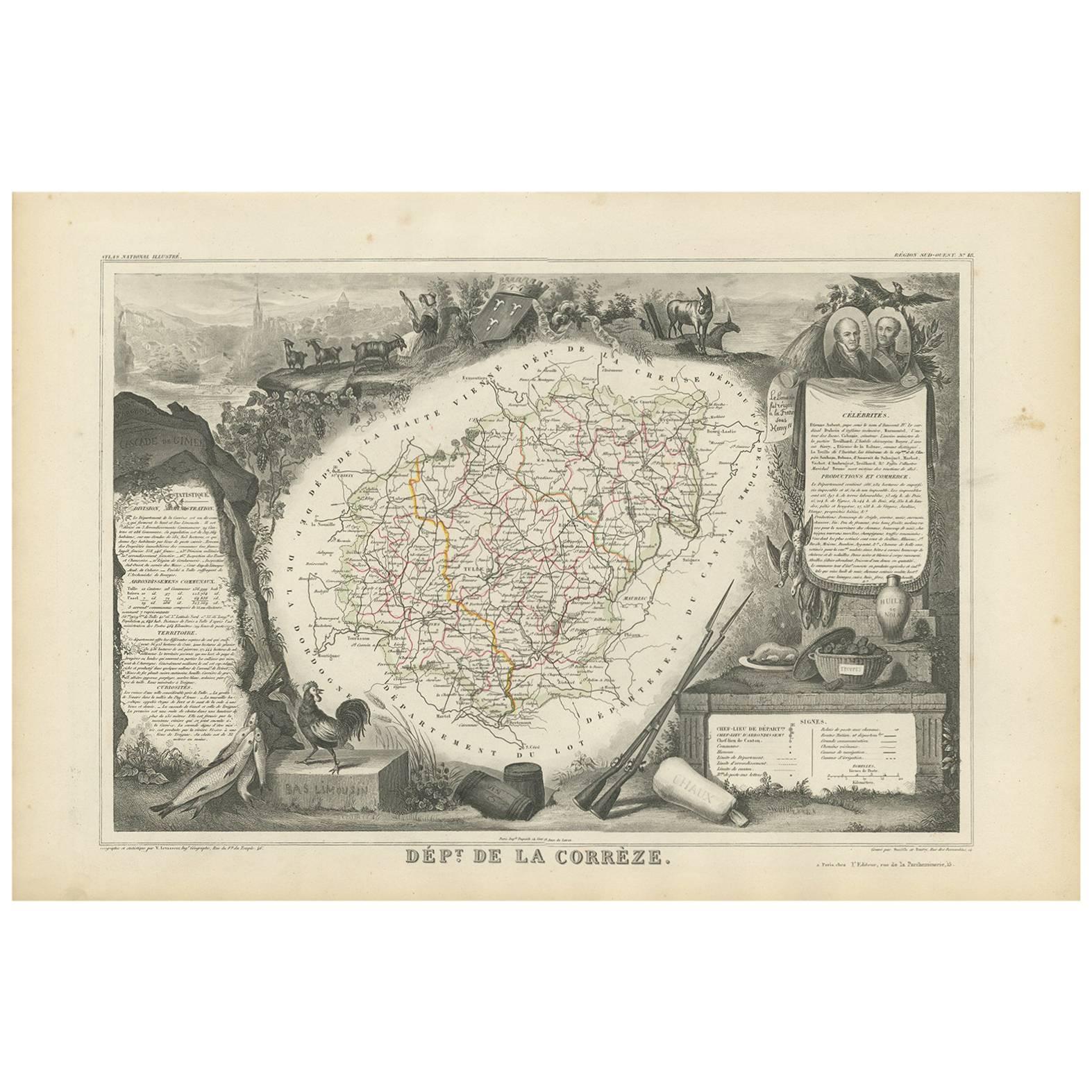
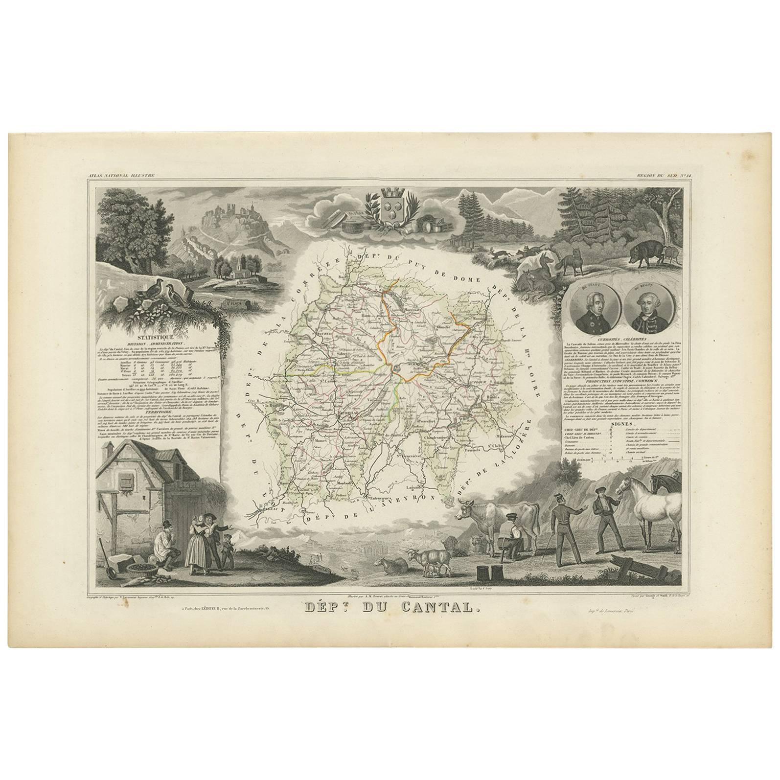
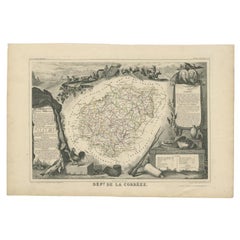
View AllAntique Map of the Famous French Wine Area of Correze, 1854
Located in Langweer, NL
Antique map titled 'Dépt. da la Corrèze'. Map of the French department of Correze, France. This area of France is known for its production of straw wine, a sweet red or white wine. T...
Category
Antique 19th Century Maps
Materials
Paper
$112 Sale Price
20% Off
Antique Map of Jura ‘France’ by V. Levasseur, 1854
By Victor Levasseur
Located in Langweer, NL
Antique map titled 'Dépt. du Jura'. Map of the French department Jura, France. The Jura wines are very distinctive and unusual, such as Vin Jaune, which is made by a similar process ...
Category
Antique Mid-19th Century Maps
Materials
Paper

$169 Sale Price
20% Off
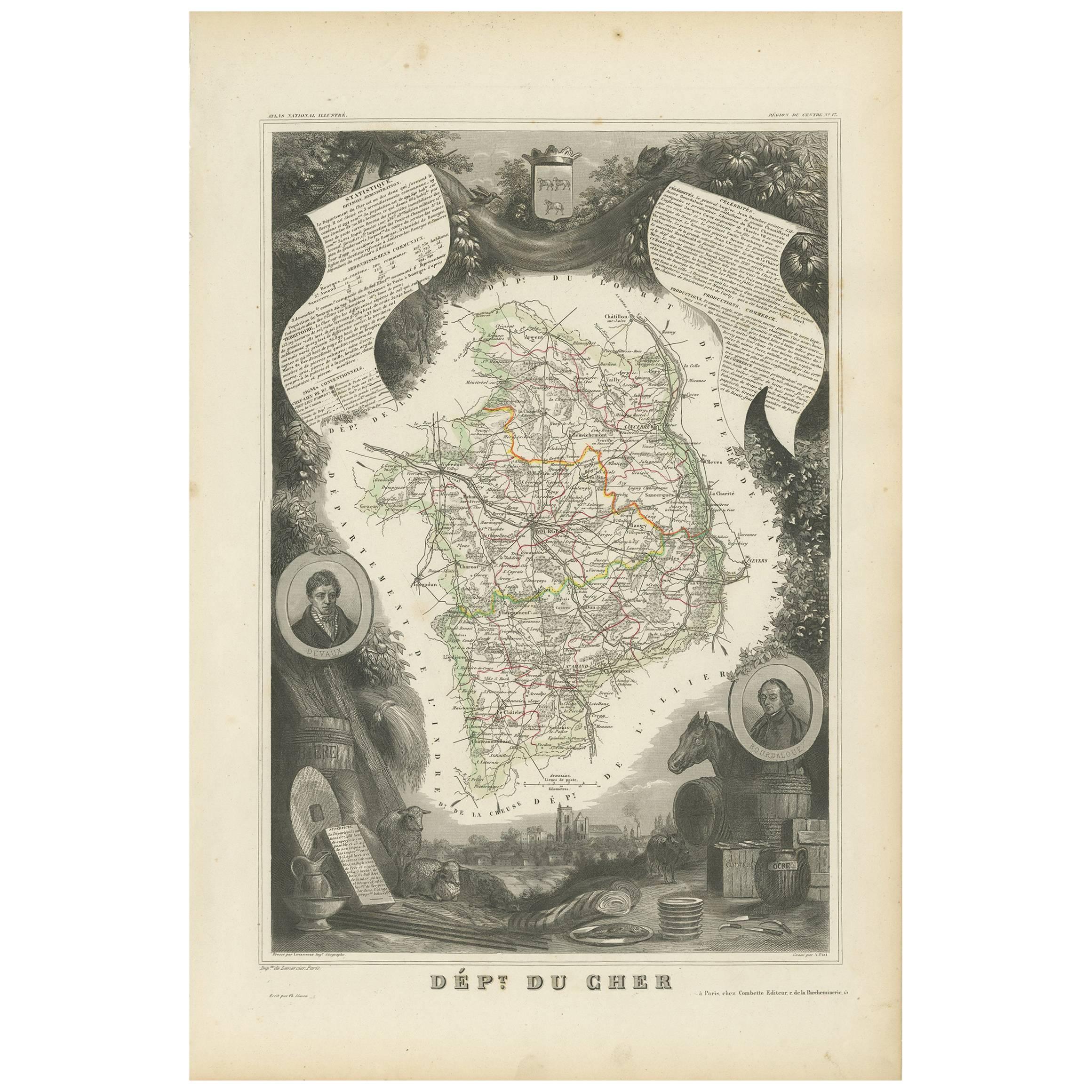
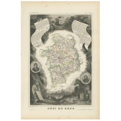
Antique Map of Cher in France, 1854
By Victor Levasseur
Located in Langweer, NL
Antique map titled 'Dépt. des Bses. Pyrénées'. Map of the French department of Basses Pyrenees, France. This department includes the Jurancon wine region, famous for its production d...
Category
Antique Mid-19th Century Maps
Materials
Paper
$169 Sale Price
20% Off
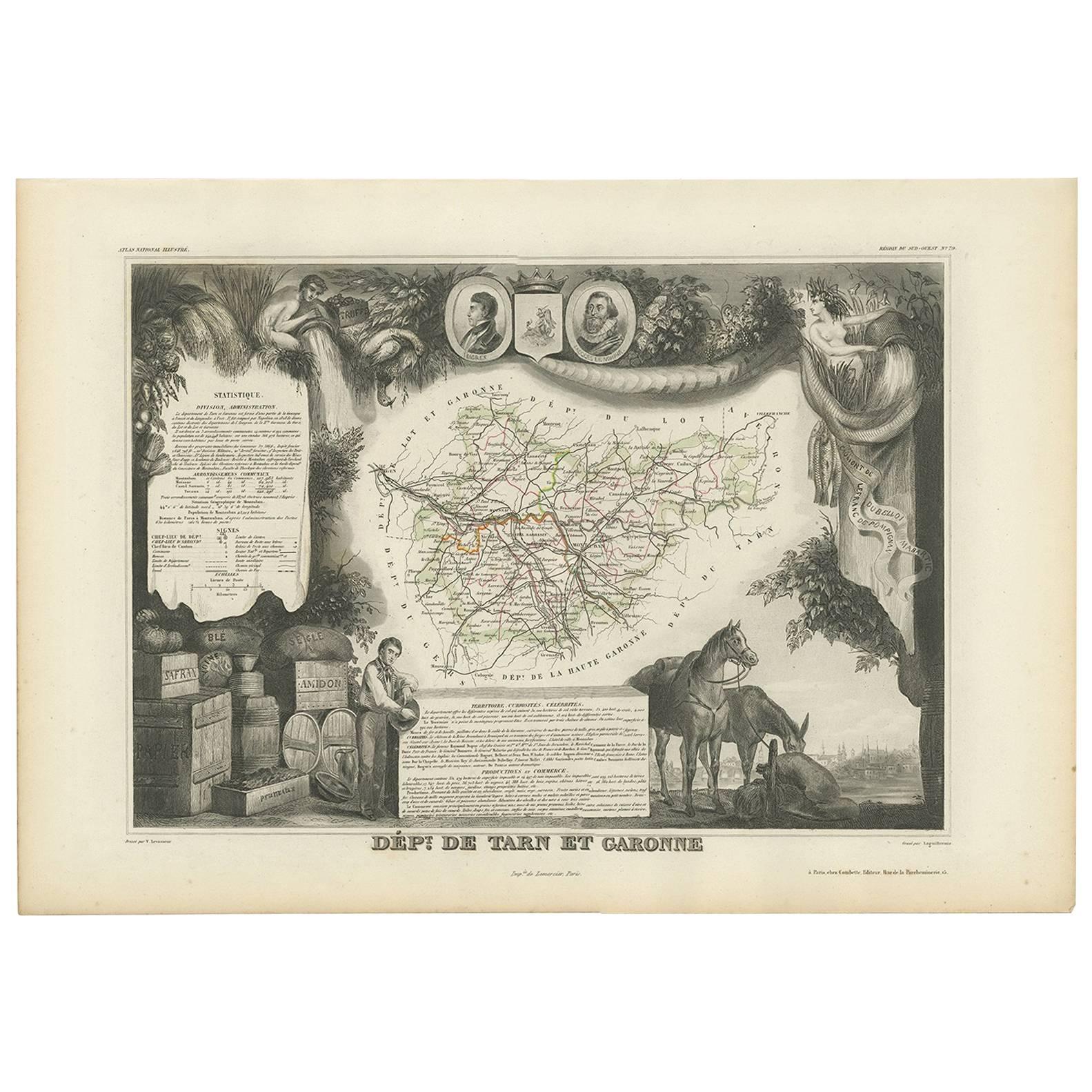
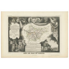
Antique Map of Tarn and Garonne in France, 1854
By Victor Levasseur
Located in Langweer, NL
Antique map titled 'Dépt. de Tarn et Garonne'. Map of the French department of Tarn et Garonne, France. This map is centered around the city of Moissac, which is known for its fine d...
Category
Antique Mid-19th Century Maps
Materials
Paper
$169 Sale Price
20% Off
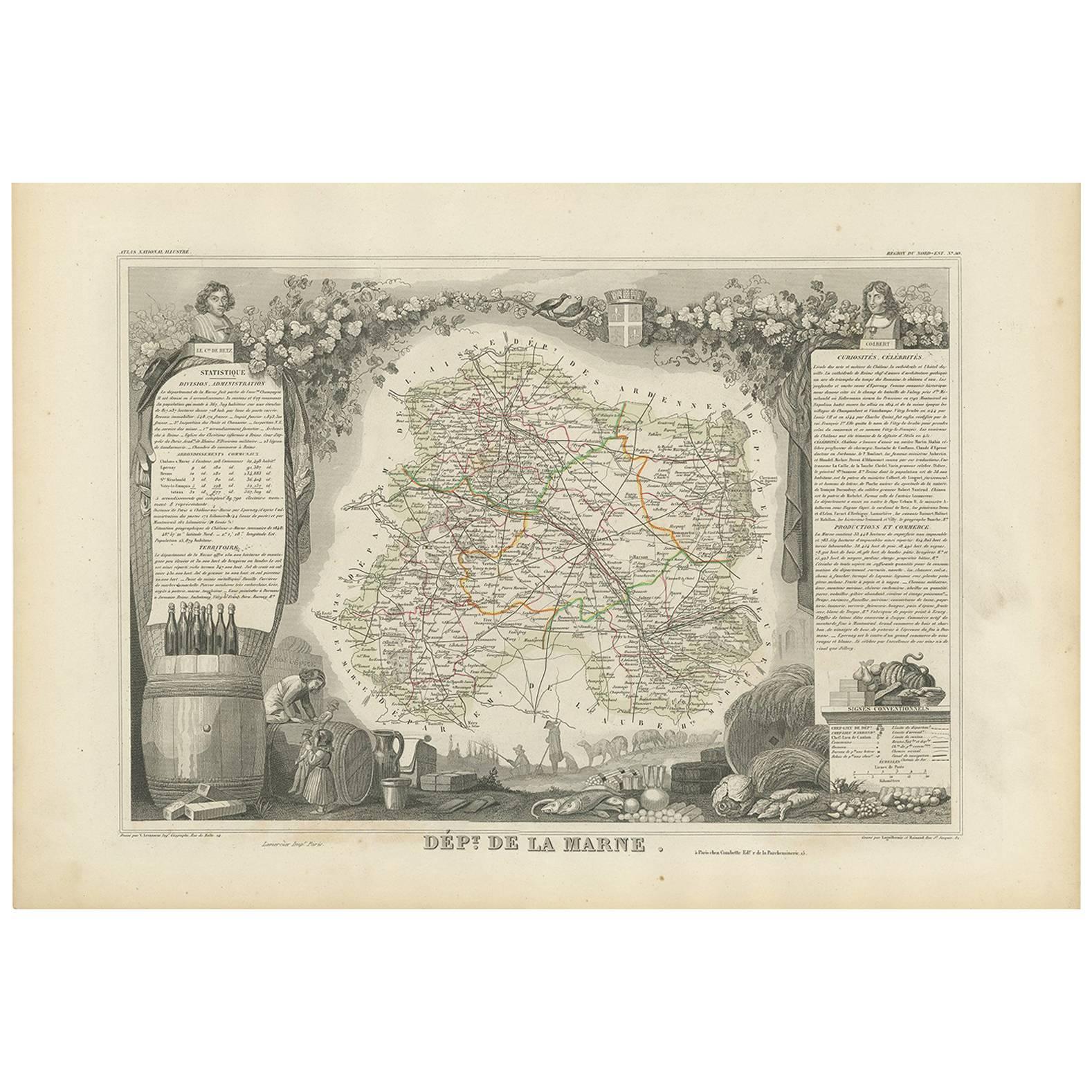
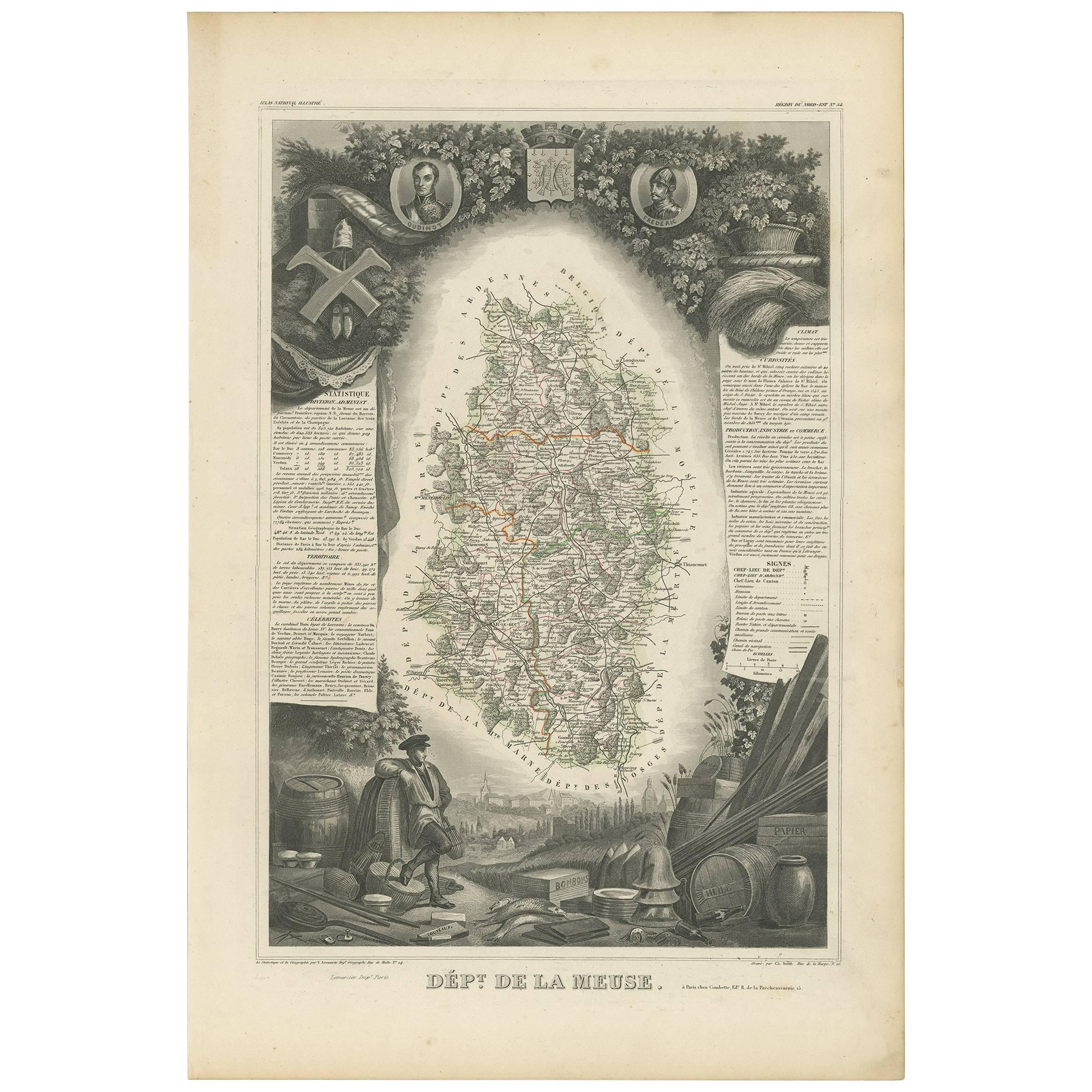
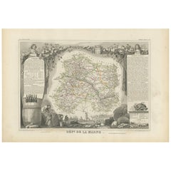
Antique Map of Marne ‘France’ by V. Levasseur, 1854
Located in Langweer, NL
Antique map titled 'Dépt. de la Marne'. Map of the French department of Marne, France. This department is home to the Champagne region where the world's finest sparkling wine is prod...
Category
Antique Mid-19th Century Maps
Materials
Paper
$169 Sale Price
20% Off
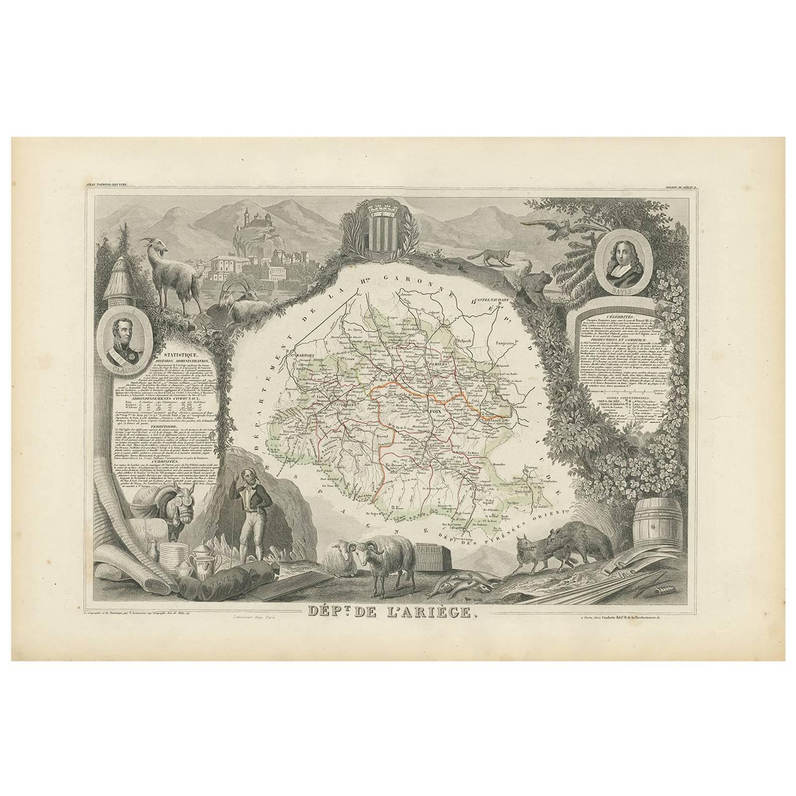
Antique Map of Ariège ‘France’ by V. Levasseur, 1854
Located in Langweer, NL
Antique map titled 'Dépt. de l'Ariège'. Map of the French department of Ariege, France. This area of France is known for its production of semi-soft and mild cheeses, such as Bethmal...
Category
Antique Mid-19th Century Maps
Materials
Paper

$169 Sale Price
20% Off
You May Also Like
1854 Map of Massachusetts, Connecticut and Rhode Island, Antique Wall Map
Located in Colorado Springs, CO
This striking wall map was published in 1854 by Ensign, Bridgman & Fanning and has both full original hand-coloring and original hardware. This impression is both informative and highly decorative.
The states are divided into counties, outlined in red, green, and black, and subdivided into towns. Roads, canals, and railroad lines are prominently depicted, although they are not all labeled. The mapmakers also marked lighthouses, banks, churches, and prominent buildings, with a key at right. The map is an informative and comprehensive overview of the infrastructural development of New England prior to the Civil War. Physical geographies depicted include elevation, conveyed with hachure marks, rivers and lakes. The impression features an inset map of Boston...
Category
Antique 19th Century American Maps
Materials
Paper

Midcentury English Portobello Famous Wines in the World on Display Case
Located in Vigonza, Padua
1960s midcentury English Portobello "Famous wines" in the world on display case
Measures cm: H 34 W 108, D 9.
Category
Mid-20th Century English Historical Memorabilia
Materials
Glass, Wood

Plan of Paris, France, by A. Vuillemin, Antique Map, 1845
Located in Colorado Springs, CO
This large and detailed plan of Paris was published by Alexandre Vuillemin in 1845. The map conveys a wonderful amount of information and is decorated throughout with pictorial vigne...
Category
Antique 1840s American Maps
Materials
Paper

Antique Map of Principality of Monaco
By Antonio Vallardi Editore
Located in Alessandria, Piemonte
ST/619 - "Old Geographical Atlas of Italy - Topographic map of ex-Principality of Monaco" -
ediz Vallardi - Milano -
A somewhat special edition ---
Category
Antique Late 19th Century Italian Other Prints
Materials
Paper

Antique French Map of Asia Including China Indoneseia India, 1783
Located in Amsterdam, Noord Holland
Very nice map of Asia. 1783 Dedie au Roy.
Additional information:
Country of Manufacturing: Europe
Period: 18th century Qing (1661 - 1912)
Condition: Overall Condition B (Good Used)...
Category
Antique 18th Century European Maps
Materials
Paper

$648 Sale Price
20% Off
Geographical Antique Map of Principality of Monaco
By Bruno Santini
Located in Alessandria, Piemonte
ST/609 - Interesting antique color map of Monaco Principality in French language : "Carte qui contient le Principauté de Piémont, le Monferrat et la comté de...
Category
Antique Late 18th Century Italian Other Maps
Materials
Paper

Recently Viewed
View AllMore Ways To Browse
Asian Canopy Bed
Asko Bonanza
Astro Table
Audoux Minet Rope Stool
Australian Daybill
B B Italia Outdoor
Baccarat Candy
Baccarat Cut Glass Box
Baccarat Ruby
Bachelor Teapot
Backstrom Ljungberg
Bakelite Radios
Baker Barrel Chairs
Baker Chinoiserie Chair
Baker Chippendale Chair
Baker Demilune
Baker Flip Top
Baker Furniture Chippendale Chair