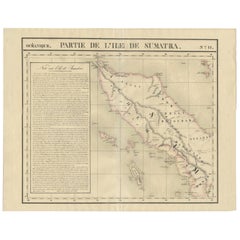
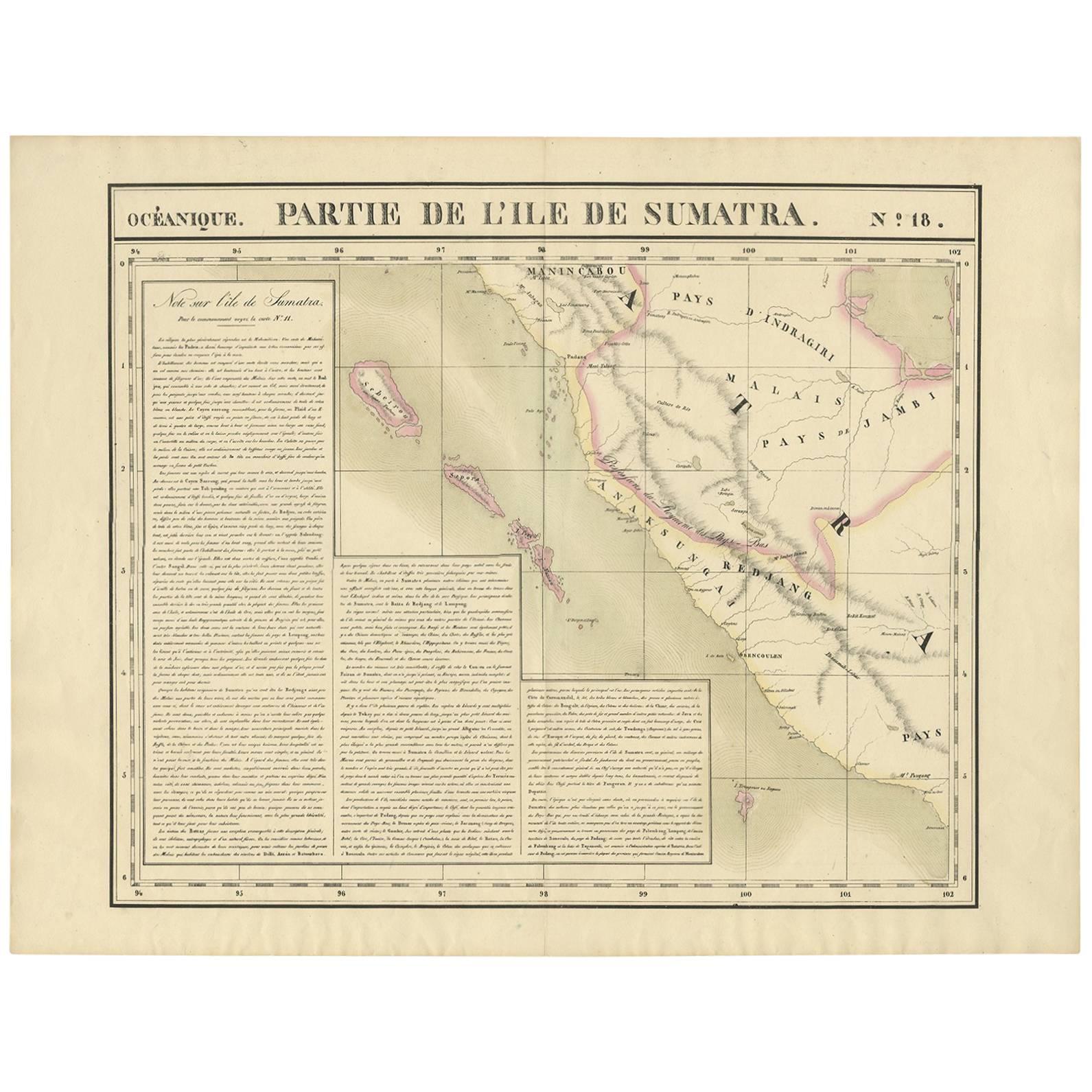
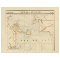
Antique Map of North Sumatra by P.M.G. Vandermaelen, 1827
View Similar Items


Want more images or videos?
Request additional images or videos from the seller
1 of 5
Antique Map of North Sumatra by P.M.G. Vandermaelen, 1827
About the Item
- Dimensions:Height: 20.87 in (53 cm)Width: 26.58 in (67.5 cm)Depth: 0.02 in (0.5 mm)
- Materials and Techniques:
- Period:
- Date of Manufacture:1827
- Condition:Please study image carefully.
- Seller Location:Langweer, NL
- Reference Number:Seller: D-04561stDibs: LU305439809501
About the Seller
5.0
Platinum Seller
These expertly vetted sellers are 1stDibs' most experienced sellers and are rated highest by our customers.
Established in 2009
1stDibs seller since 2017
1,916 sales on 1stDibs
More From This SellerView All
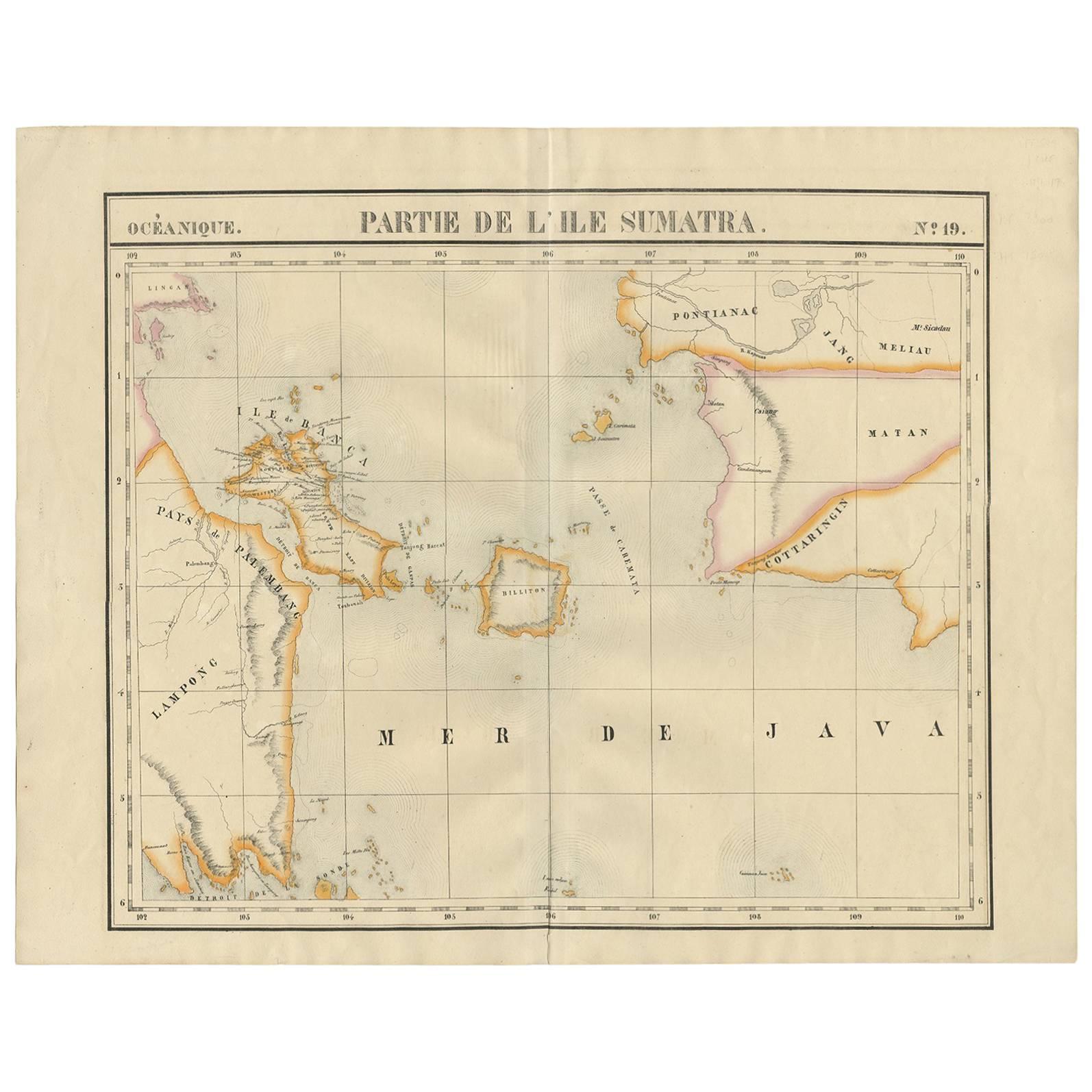
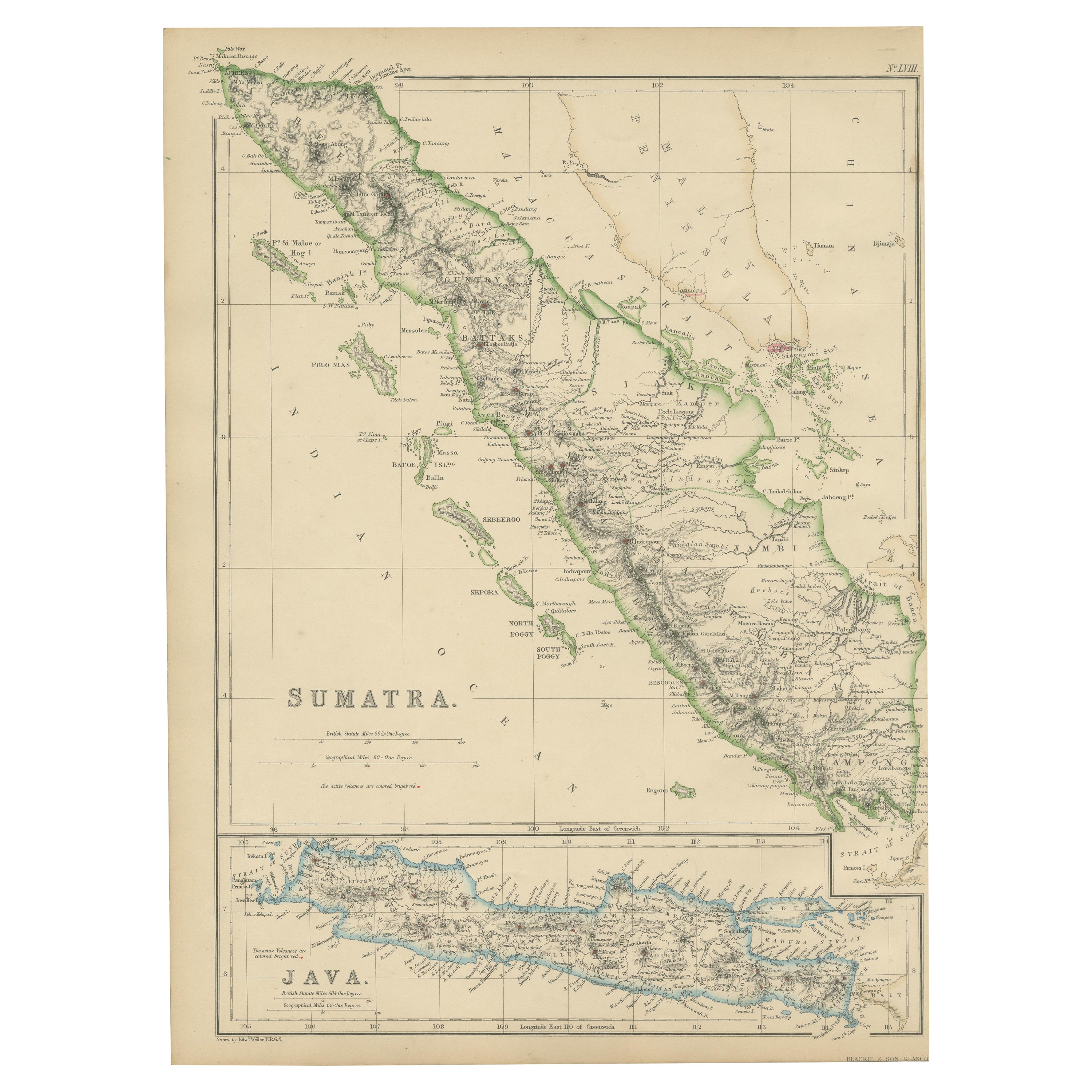
- Antique Map of South Sumatra by P.M.G. Vandermaelen, 1827Located in Langweer, NLA chart showing the southern part of Sumatra, the island of Belitung and southern Borneo, published in the "Atlas Universel de Géographie".Category
Antique Early 19th Century Maps
MaterialsPaper
 $351 Sale Price35% Off
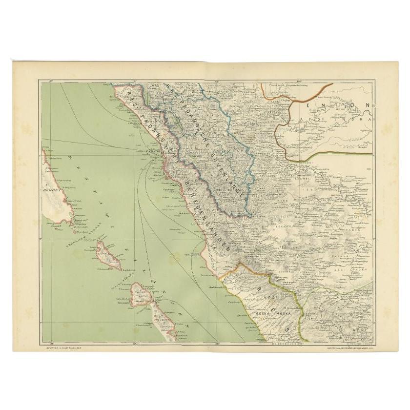
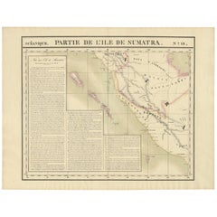
 - Antique Map of West Sumatra by P.M.G. Vandermaelen, 1827Located in Langweer, NLA chart showing the western part of Sumatra, published in the "Atlas Universel de Géographie".Category
Antique Early 19th Century Maps
MaterialsPaper
 $410 Sale Price24% Off
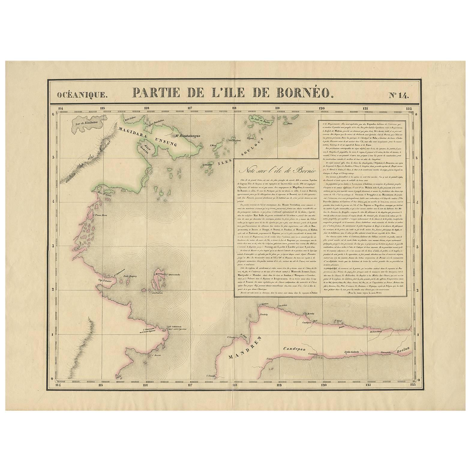
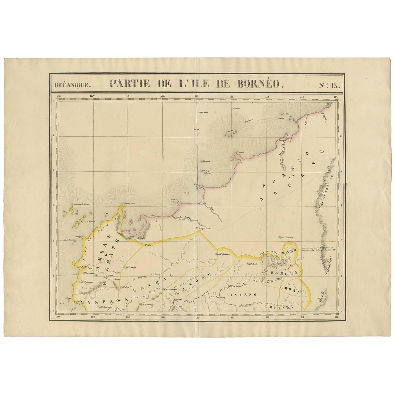
 - Antique Map of North East Borneo and North Sulawesi by P.M.G. VandermaelenLocated in Langweer, NLContemporary colored lithographed map. Relief shown pictorially and by hachures. Covers North Eastern Borneo and part of Northern Sulawesi.Category
Antique Early 19th Century Maps
MaterialsPaper
 $328 Sale Price39% Off
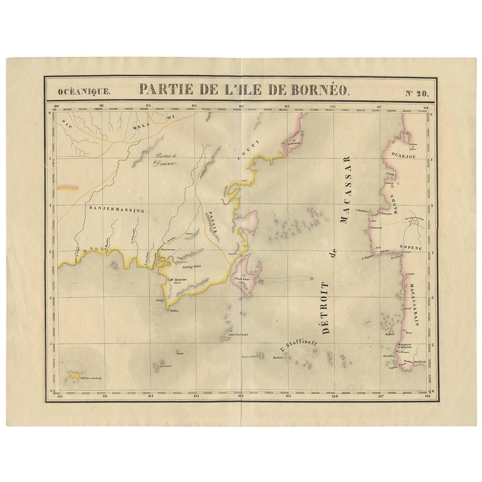
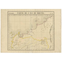
 - Antique Map of Southeast Borneo by P.M.G. Vandermaelen, 1827Located in Langweer, NLStriking and highly detailed unusual large-format fine example of Vandermaelen's map covering part of the south-eastern part of Borneo and western tip of Sulawesi. The map provides g...Category
Antique Early 19th Century Maps
MaterialsPaper
 $492 Sale Price20% Off
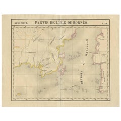
 - Antique Map of Borneo and Malaysia by P.M.G. Vandermaelen, 1827Located in Langweer, NLA chart of the north western part of Borneo and Malaysia (Sarawak). Published by P.M.G. Vandermaelen, 1827.Category
Antique Early 19th Century Maps
MaterialsPaper
 $464 Sale Price24% Off
 - Antique Map of the Mentawai Islands, Sumatra, 1900Located in Langweer, NLAntique map of the Mentawai Islands, Sumatra. Also depicting the region of Padang. This map originates from 'Atlas van Nederlandsch Oost- en West-Indië' by I. Dornseiffen. Artists ...Category
20th Century Maps
MaterialsPaper

You May Also Like
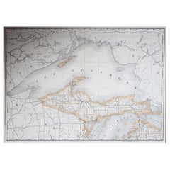
- Large Original Antique Map of Michigan 'North', USA, 1894By Rand McNally & Co.Located in St Annes, LancashireFabulous map of Michigan North. Original color. By Rand, McNally & Co. Published, 1894. Unframed. Free shipping.Category
Antique 1890s American Maps
MaterialsPaper
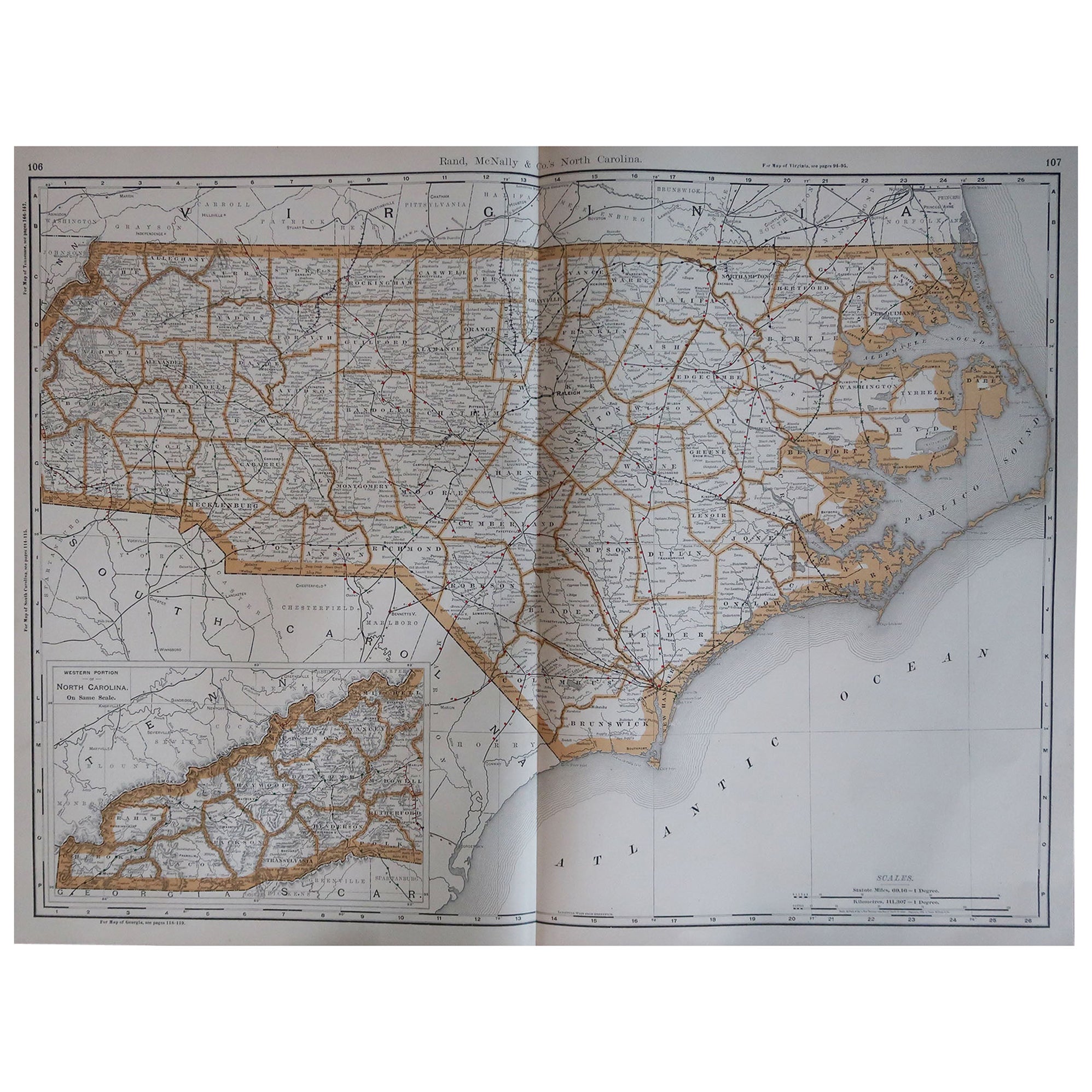
- Large Original Antique Map of North Carolina, USA, 1894By Rand McNally & Co.Located in St Annes, LancashireFabulous map of North Carolina Original color By Rand, McNally & Co. Published, 1894 Unframed Free shipping.Category
Antique 1890s American Maps
MaterialsPaper
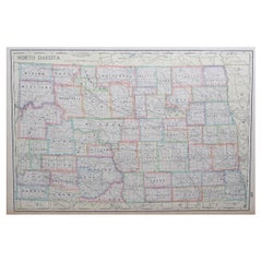
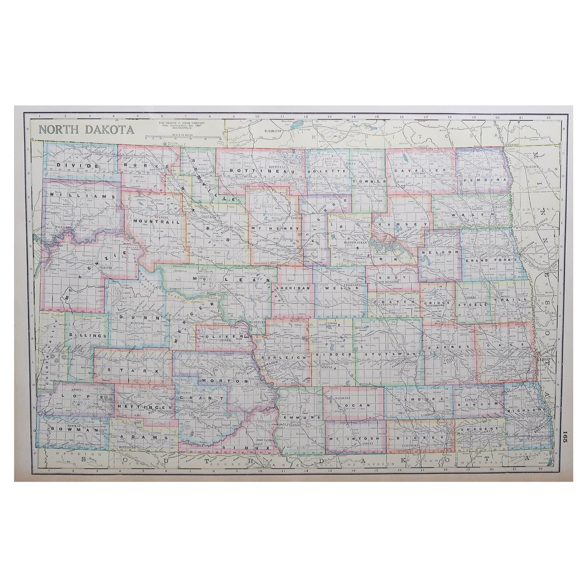
- Large Original Antique Map of North Dakota, USA, circa 1900Located in St Annes, LancashireFabulous map of North Dakota Original color Engraved and printed by the George F. Cram Company, Indianapolis. Published, circa 1900 Unframed Free shi...Category
Antique 1890s American Maps
MaterialsPaper
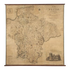
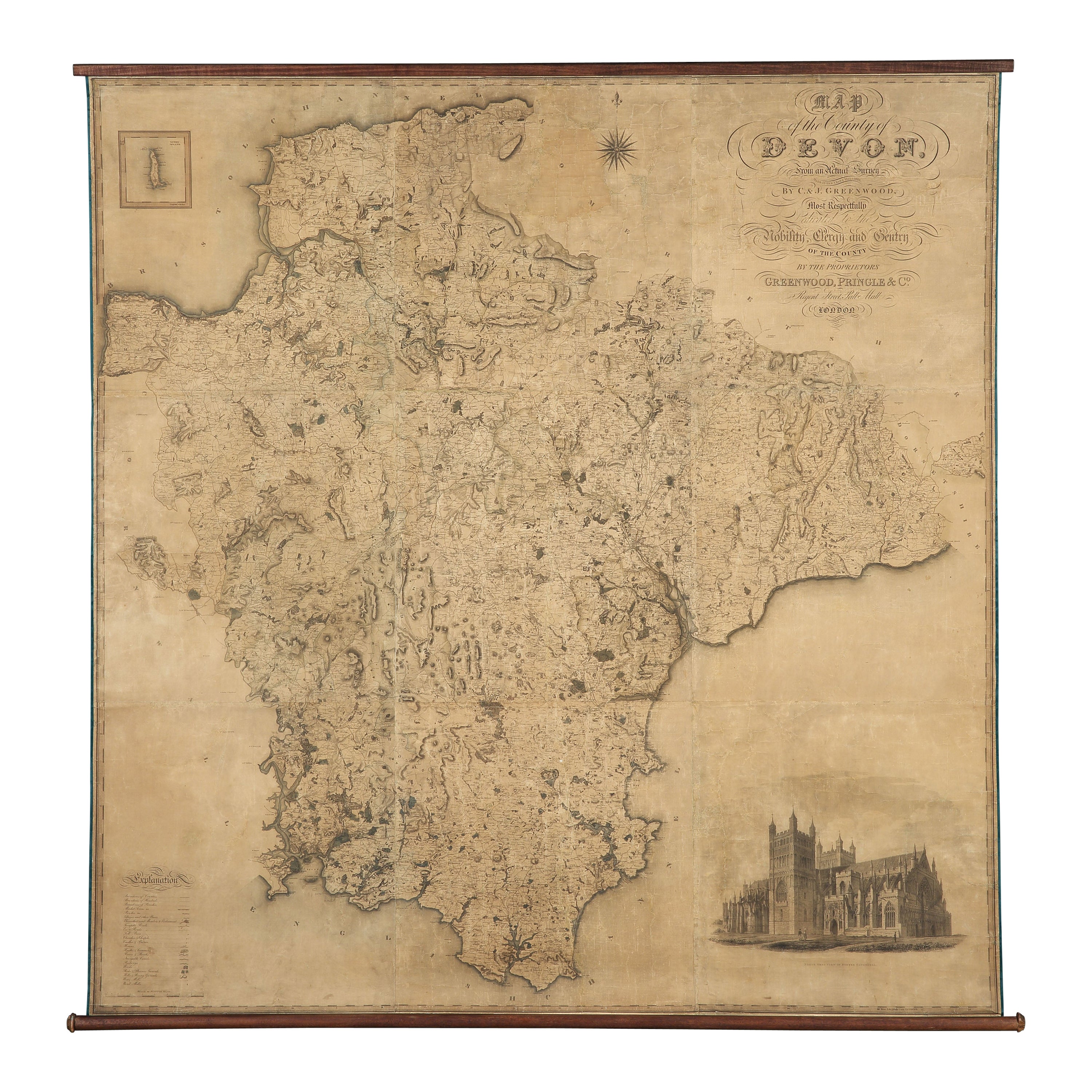
- Map Hanging Wall County of Devon C&J Greenwood 1827 Exeter Cathedral Lundy IsleLocated in BUNGAY, SUFFOLKC & J GREENWOOD MAP OF THE COUNTY OF DEVON, FROM AN ORIGINAL SURVEY, PUBLISHED 1827, WITH ENGRAVING OF EXETER CATHEDRAL AND MAP OF LUNDY INSET, 6ft 2 ...Category
Antique 1820s English Early Victorian Maps
MaterialsPaper
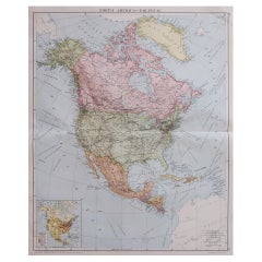
- Large Original Vintage Map of North America, circa 1920Located in St Annes, LancashireGreat map of North America Original color. Good condition Published by Alexander Gross Unframed.Category
Vintage 1920s English Edwardian Maps
MaterialsPaper
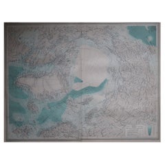
- Large Original Vintage Map of The North Pole, circa 1920Located in St Annes, LancashireGreat maps of The North Pole. Unframed. Original color. By John Bartholomew and Co. Edinburgh Geographical Institute. Published, circa 1920. Free shipp...Category
Vintage 1920s British Maps
MaterialsPaper