Items Similar to Antique Map of the Province of Kilan by Olearius '1662'


Want more images or videos?
Request additional images or videos from the seller
1 of 5
Antique Map of the Province of Kilan by Olearius '1662'
About the Item
Antique map titled 'A Map of ye Province of Kilan as it lies on ye Caspian Sea'. Rare map of the province of Kilan, near the Caspian Sea. Originates from 'The voyages and travells of the Ambassadors sent by Frederick Duke of Holstein, to the Great Duke of Muscovy, and the King of Persia (..)'. Adam Olearius (Adam Oelschlaeger) participated in an embassy to Moscow and later to Persia, in an attempt to secure for Frederick III a favorable position at the end of the Silk Route. He traveled extensively in Russia and Persia, meeting with the Czar and the Shah. The party's descent of the Volga resulted in the first detailed mapping of the river based on Olearius' account of the expedition.
- Dimensions:Height: 11.42 in (29 cm)Width: 13.19 in (33.5 cm)Depth: 0.02 in (0.5 mm)
- Materials and Techniques:
- Period:Mid-17th Century
- Date of Manufacture:1662
- Condition:General age-related toning. Minor wear, please study image carefully.
- Seller Location:Langweer, NL
- Reference Number:
About the Seller
5.0
Platinum Seller
These expertly vetted sellers are 1stDibs' most experienced sellers and are rated highest by our customers.
Established in 2009
1stDibs seller since 2017
1,938 sales on 1stDibs
Typical response time: <1 hour
- ShippingRetrieving quote...Ships From: Langweer, Netherlands
- Return PolicyA return for this item may be initiated within 14 days of delivery.
More From This SellerView All
- Antique Map of Central Sweden by J. Blaeu, 1662Located in Langweer, NLA striking, rare map with a cartouche dedicated to Gabriel Bengtsson Oxenstierna. Published by J. Bleau, Amsterdam, 1662. Contemporary coloring.Category
Antique Mid-17th Century Maps
MaterialsPaper
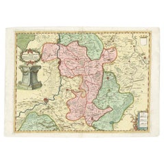
- Antique Map of the Province of Overijssel, the NetherlandsLocated in Langweer, NLOriginal antique map titled 'Ditio Trans-Isulana'. Original old map of the province of Overijssel, the Netherlands. With coat of arms and two decorative cartouches. Published by J. J...Category
Antique Mid-17th Century Maps
MaterialsPaper
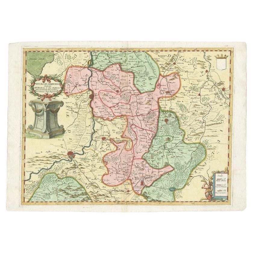
- Antique Map of the Province of Limburg by Coronelli, 1692Located in Langweer, NLAntique map titled 'Ducea di Limburgo (..)'. Beautiful map of the Dutch province of Limburg. Originates from 'Corso Geographico Universale'. Artists and Engravers: Published in Ven...Category
Antique 17th Century Maps
MaterialsPaper
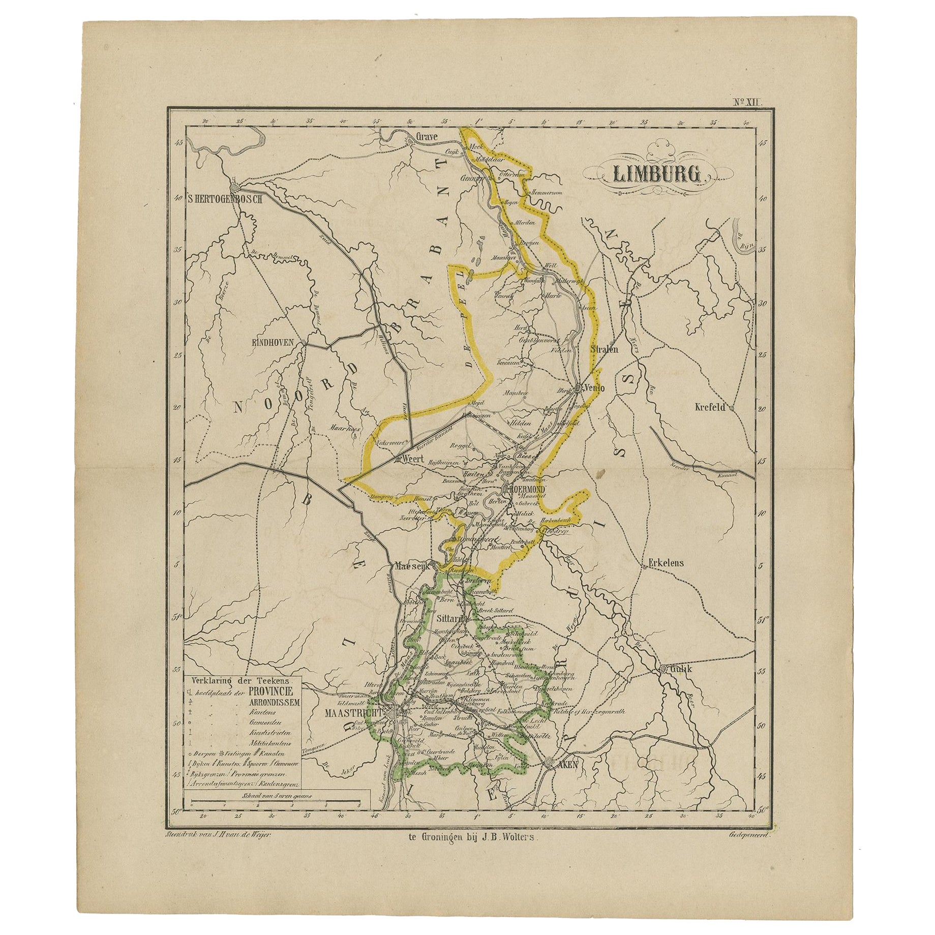
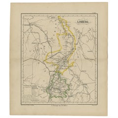
- Antique Map of the Province Limburg, The Netherlands, 1864Located in Langweer, NLAntique map titled 'De Provincie Limburg'. Map of the province of Limburg, the Netherlands. This map originates from 'F. C. Brugsma's Atlas van het Koninkrijk der Nederlanden (..)'. ...Category
Antique 19th Century Maps
MaterialsPaper
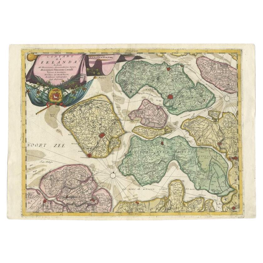
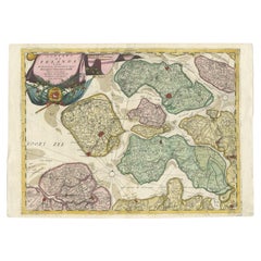
- Antique Map of the Province of Zeeland, The Netherlands by Coronelli, 1692Located in Langweer, NLAntique map titled 'Contado di Zelanda'. Beautiful map of the Dutch province of Zeeland. With the islands of Walcheren, Schouwen-Duiveland, Noord-Beveland, Zuid-Beveland, Tholen and ...Category
Antique 17th Century Maps
MaterialsPaper
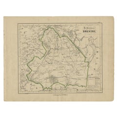
- Antique Map of Drenthe, Province of the Netherlands, C.1870Located in Langweer, NLAntique map titled 'De Provincie Drenthe'. Map of the province of Drenthe, the Netherlands. This map originates from 'F. C. Brugsma's Atlas van het Koninkrijk der Nederlanden (..)'. ...Category
Antique 19th Century Maps
MaterialsPaper

You May Also Like
- Antique 18th Century Map of the Province of Pensilvania 'Pennsylvania State'Located in Philadelphia, PAA fine antique of the colony of Pennsylvania. Noted at the top of the sheet as a 'Map of the province of Pensilvania'. This undated and anonymous map is thought to be from the Gentleman's Magazine, London, circa 1775, although the general appearance could date it to the 1760's. The southern boundary reflects the Mason-Dixon survey (1768), the western boundary is placed just west of Pittsburgh, and the northern boundary is not marked. The map has a number of reference points that likely refer to companion text and appear to be connected to boundaries. The western and southern boundaries are marked Q, R, S, for example. A diagonal line runs from the Susquehanna R to the Lake Erie P. A broken line marked by many letters A, B, N, O, etc., appears in the east. There are no latitude or longitude markings, blank verso. Framed in a shaped contemporary gilt wooden frame and matted under a cream colored matte. Bearing an old Graham Arader Gallery...Category
Antique 18th Century British American Colonial Maps
MaterialsPaper
- Original Antique Map of The World by Thomas Clerk, 1817Located in St Annes, LancashireGreat map of The Eastern and Western Hemispheres On 2 sheets Copper-plate engraving Drawn and engraved by Thomas Clerk, Edinburgh. Published by Mackenzie And Dent, 1817 ...Category
Antique 1810s English Maps
MaterialsPaper
- Original Antique Map of The Netherlands, Engraved by Barlow, Dated 1807Located in St Annes, LancashireGreat map of Netherlands Copper-plate engraving by Barlow Published by Brightly & Kinnersly, Bungay, Suffolk. Dated 1807 Unframed.Category
Antique Early 1800s English Maps
MaterialsPaper
- Map of the Republic of GenoaLocated in New York, NYFramed antique hand-coloured map of the Republic of Genoa including the duchies of Mantua, Modena, and Parma. Europe, late 18th century. Dimension: 25...Category
Antique Late 18th Century European Maps
- Antique Map of Italy by Andriveau-Goujon, 1843By Andriveau-GoujonLocated in New York, NYAntique Map of Italy by Andriveau-Goujon, 1843. Map of Italy in two parts by Andriveau-Goujon for the Library of Prince Carini at Palazzo Carini i...Category
Antique 1840s French Maps
MaterialsLinen, Paper
- Antique Map of Principality of MonacoBy Antonio Vallardi EditoreLocated in Alessandria, PiemonteST/619 - "Old Geographical Atlas of Italy - Topographic map of ex-Principality of Monaco" - ediz Vallardi - Milano - A somewhat special edition ---Category
Antique Late 19th Century Italian Other Prints
MaterialsPaper


