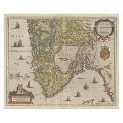
Antique Map of the Southern Part of Russia by Blaeu, circa 1650
View Similar Items


Want more images or videos?
Request additional images or videos from the seller
1 of 5
Antique Map of the Southern Part of Russia by Blaeu, circa 1650
About the Item
- Dimensions:Height: 20.87 in (53 cm)Width: 24.81 in (63 cm)Depth: 0.02 in (0.5 mm)
- Materials and Techniques:
- Period:Mid-17th Century
- Date of Manufacture:circa 1650
- Condition:General age-related toning, original folding line. Latin text on verso, few small splits and tears in the margins. Please study images carefully.
- Seller Location:Langweer, NL
- Reference Number:Seller: BG-127121stDibs: LU3054321333062
About the Seller
5.0
Platinum Seller
These expertly vetted sellers are 1stDibs' most experienced sellers and are rated highest by our customers.
Established in 2009
1stDibs seller since 2017
1,933 sales on 1stDibs
More From This SellerView All
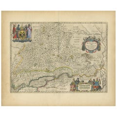
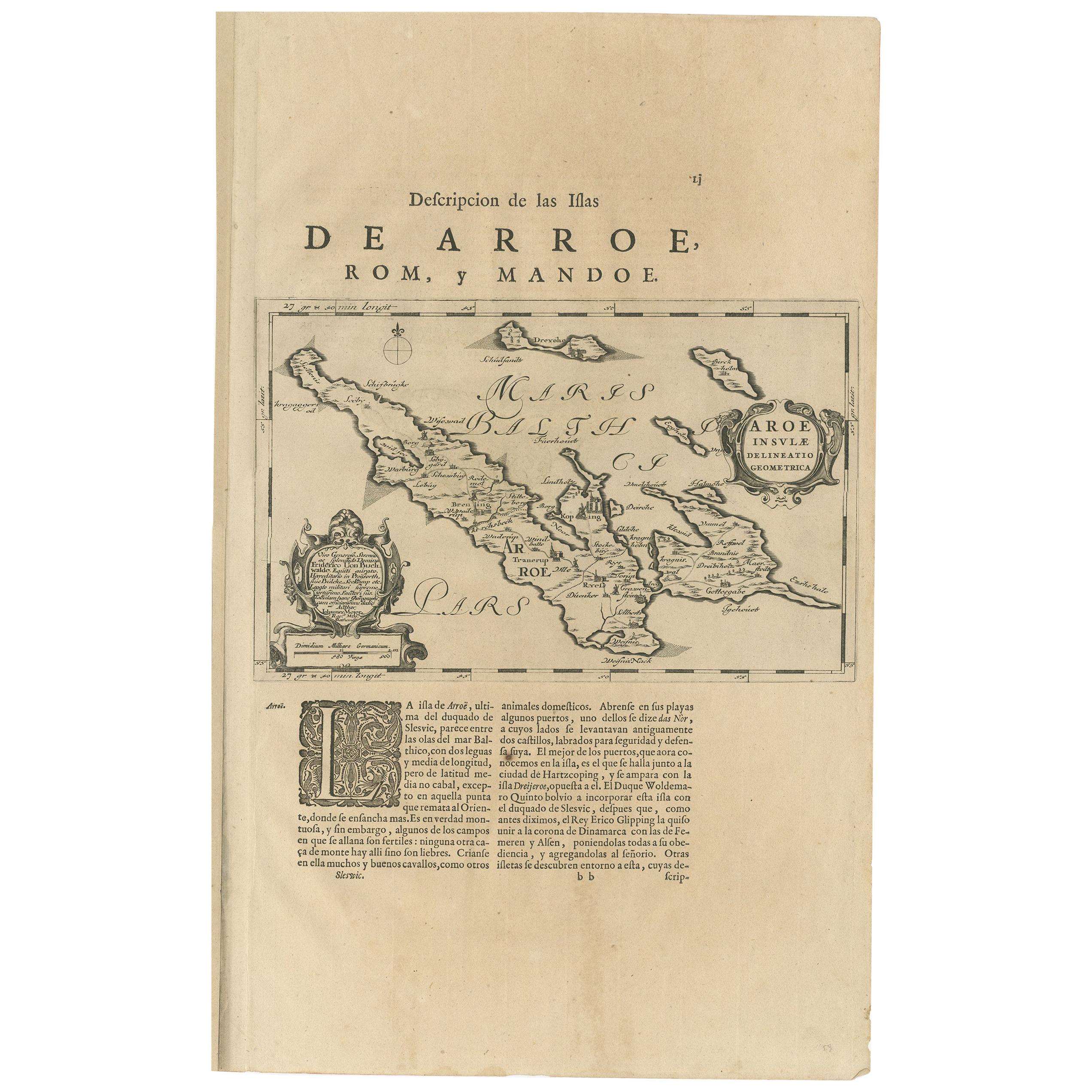
- Antique Map of Catalonia by Blaeu, circa 1650Located in Langweer, NLAntique map titled 'Catalonia'. Antique map of Catalonia, extending from C. De Romani on the Northern Coast to Alfachs and Panicola in Valencia on the southern end of the coast and s...Category
Antique Mid-17th Century Maps
MaterialsPaper
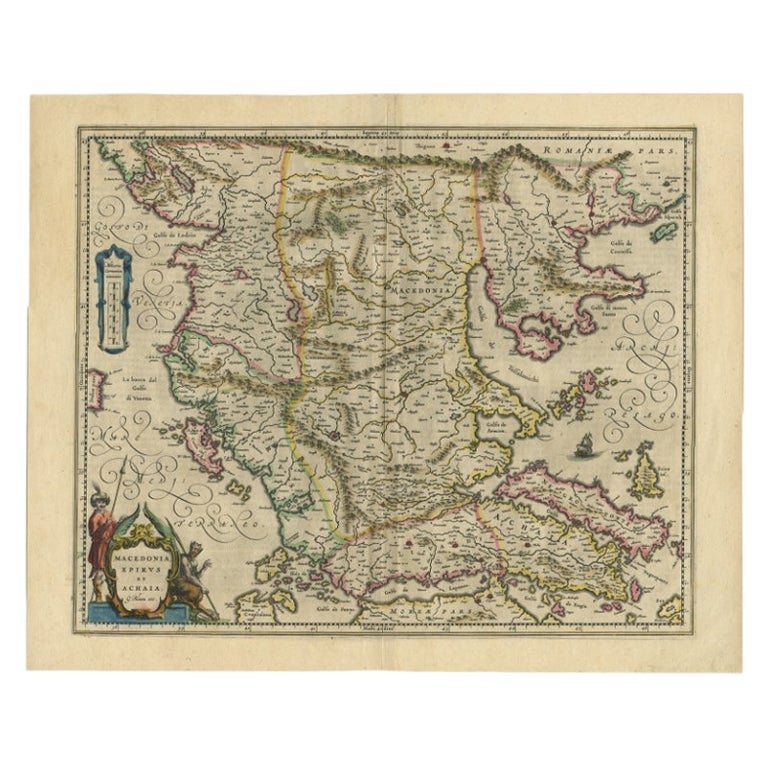
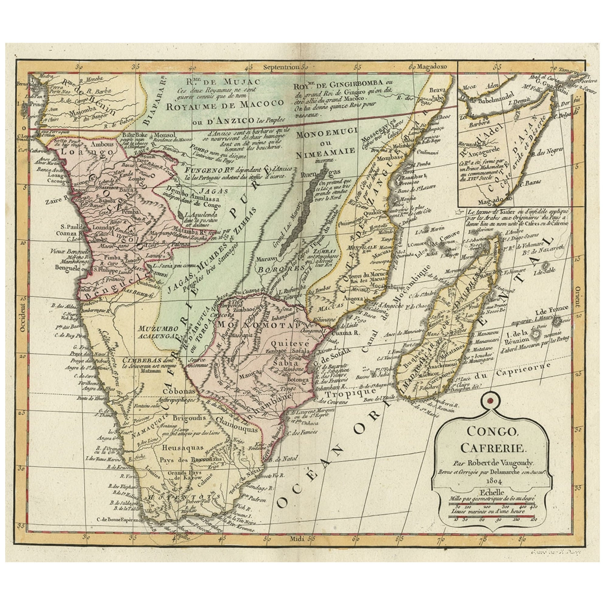
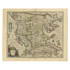
- Antique Map of Macedonia by the Famous Mapmaker Blaeu, c.1650Located in Langweer, NLAntique map titled 'Macedonia, Epirus et Achaia'. Ornated with a nice allegoric cartouche, one ship and a milage scale. Macedonia is shown in the centre of the map. With many detai...Category
Antique 17th Century Maps
MaterialsPaper
 $1,010 Sale Price20% Off
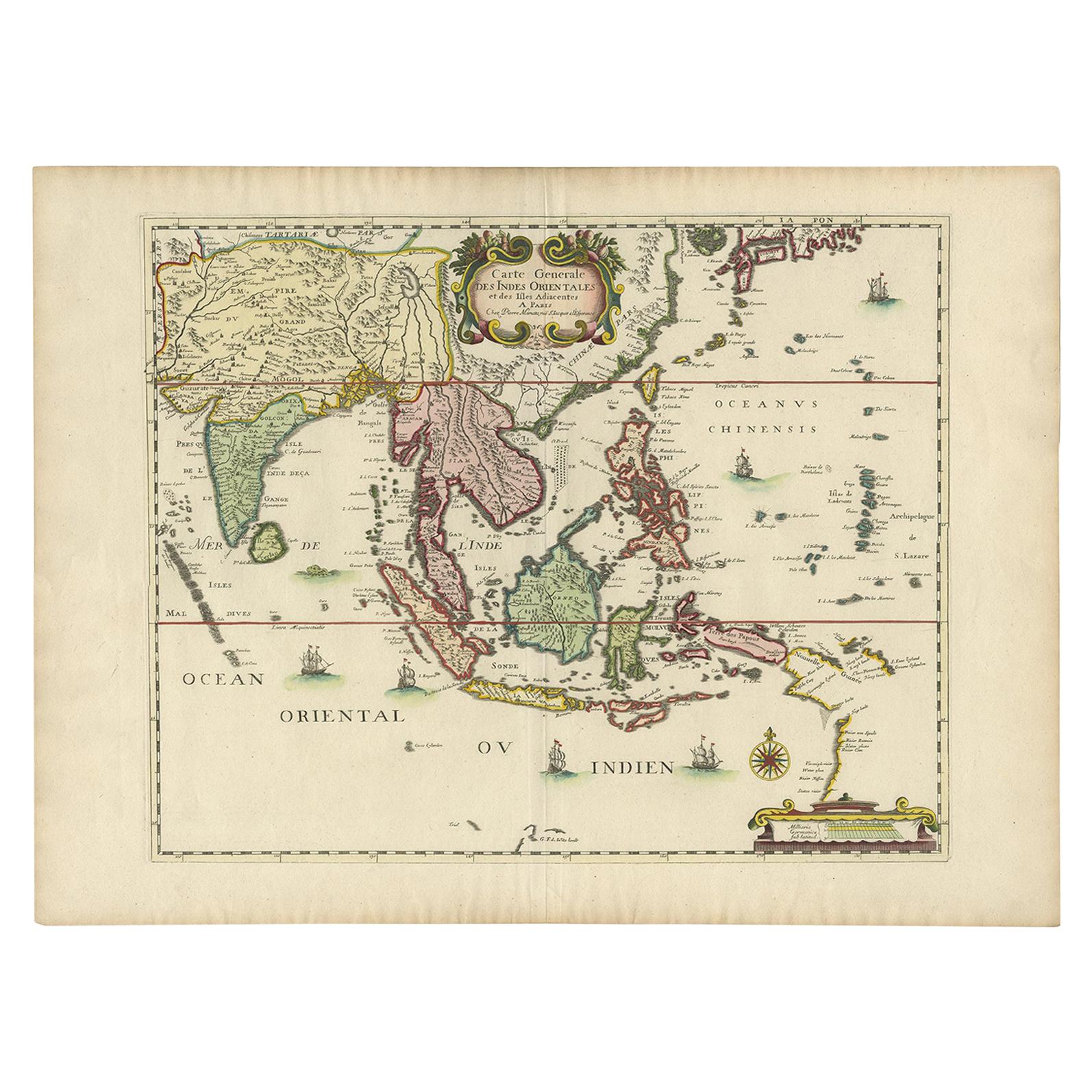
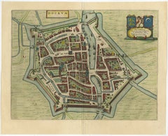
 - Antique Map of the City of Dokkum, Friesland by Blaeu, c.1650Located in Langweer, NLAntique map titled ?Dockum?. Plan of Dokkum in Friesland, the Netherlands. A cartouche with two coats of arms. Originates from the town atlas 'Toneel der Steden', published by Joan Blaeu...Category
Antique 17th Century Maps
MaterialsPaper
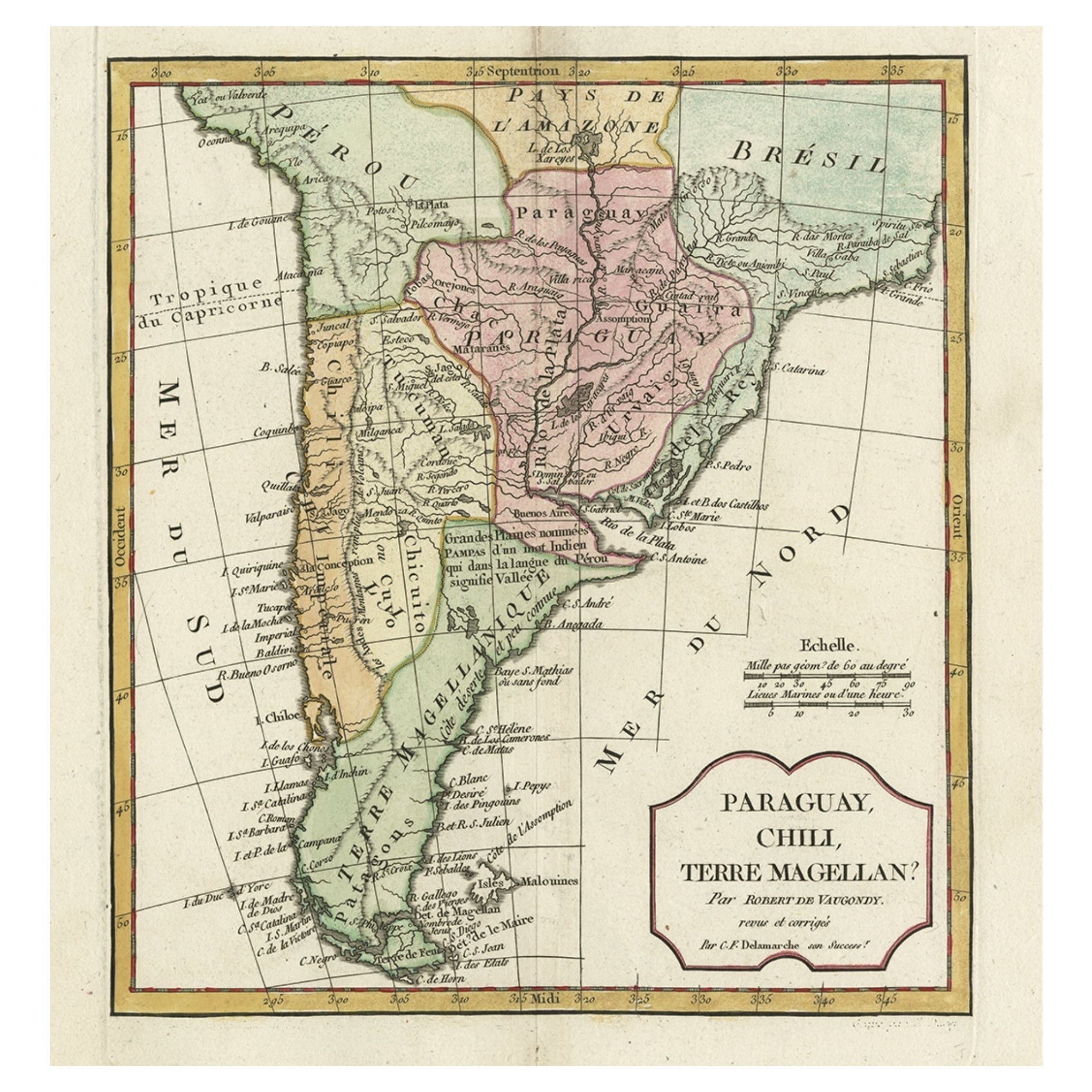
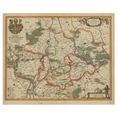
- Antique Map of Lower Silesia of The Famous Mapmaker Blaeu, c.1650Located in Langweer, NLAntique map titled 'Ducatus Silesiae Wolanus'. \ Antique map depicting lower Silesia with the cities of Wolow (Wohlau), Winsko (Winzig), Herrnstadt, Chobie (Koben), Lubin (Lüben), R...Category
Antique 17th Century Maps
MaterialsPaper
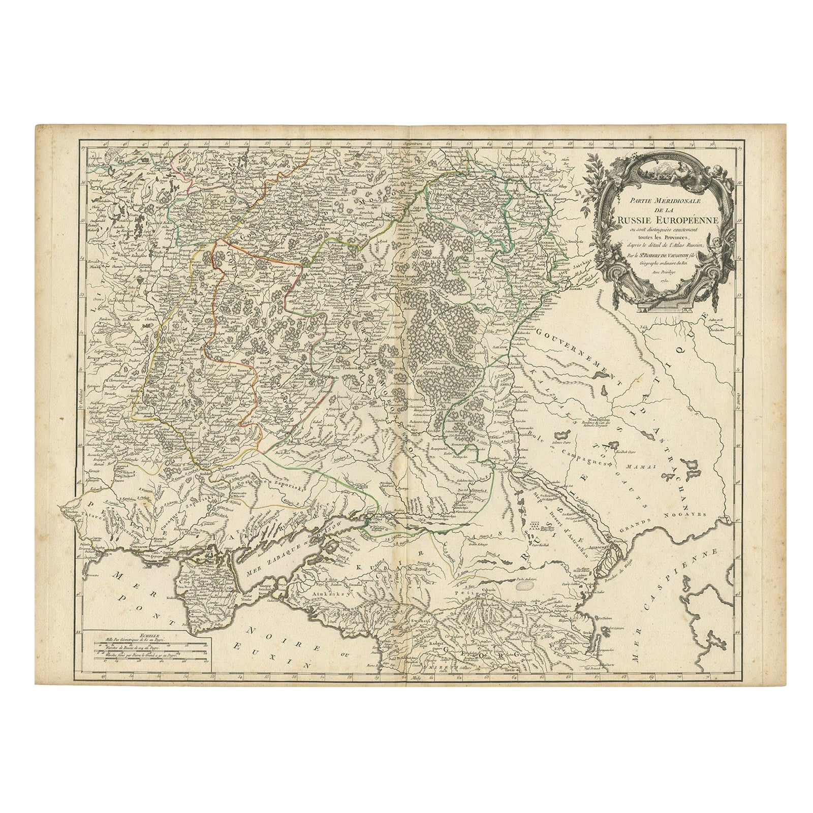
- Detailed Antique Map of the Southern Part of European Russia and Ukraine, 1752Located in Langweer, NLAntique map titled 'Partie meridionale de la Russie Européenne'. Detailed map of the southern part of European Russia by Robert de Vaugondy. It covers from Moscow south to Georgia and from Poland east to the Volga River, including Crimea and Ukraine. Artists and engravers: Gilles Robert de Vaugondy (1688-1766) was the head of a leading family of geographers in eighteenth century France. Gilles got his start when he jointly inherited the shop of Pierre-Moullart Sanson, grandson of the famous geographer Nicholas Sanson. The inheritance included the business, its stock of plates, and a roller press...Category
Antique 1750s Maps
MaterialsPaper
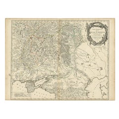 $667 Sale Price20% Off
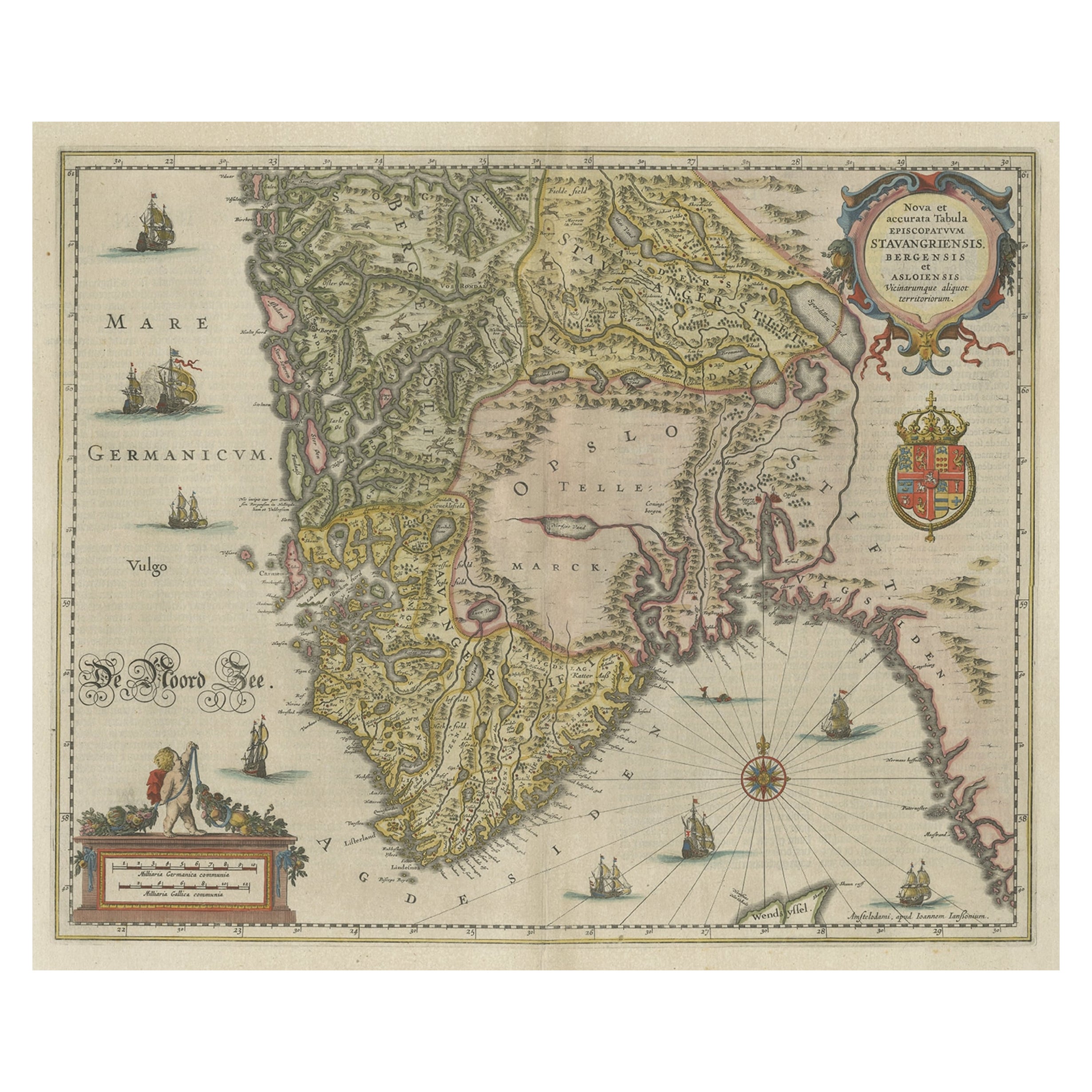
 - Old Map of The Southern Part of Norway, Covering the Region Around Bergen, c1650Located in Langweer, NLAntique map titled 'Nova et Accurata Tabula Episcopatuum Stavangriensis et Asloiensis'. Old map of the southern part of Norway, it covers the region around Bergen. Decorated with...Category
Antique 1650s Maps
MaterialsPaper

You May Also Like
- Original Antique Map of Russia By Arrowsmith. 1820Located in St Annes, LancashireGreat map of Russia Drawn under the direction of Arrowsmith Copper-plate engraving Published by Longman, Hurst, Rees, Orme and Brown, 1820 Unframed.Category
Antique 1820s English Maps
MaterialsPaper

- Original Antique Map of Belgium by Tallis, Circa 1850Located in St Annes, LancashireGreat map of Belgium Steel engraving Many lovely vignettes Published by London Printing & Publishing Co. ( Formerly Tallis ), C.1850 Origin...Category
Antique 1850s English Maps
MaterialsPaper
- The Kingdom of Naples and Southern Italy: A Hand-Colored 18th Century Homann MapBy Johann Baptist HomannLocated in Alamo, CA"Novissima & exactissimus Totius Regni Neapolis Tabula Presentis Belli Satui Accommo Data" is a hand colored map of southern Italy and the ancient Kingdom of Naples created by Johann...Category
Antique Early 18th Century German Maps
MaterialsPaper
- Original Antique Map / City Plan of Brussels by Tallis, circa 1850Located in St Annes, LancashireGreat map of Brussels. Steel engraving. Published by London Printing & Publishing Co. (Formerly Tallis), C.1850 Free shipping.Category
Antique 1850s English Maps
MaterialsPaper
- Original Antique Map of South East Asia by Becker, circa 1840Located in St Annes, LancashireGreat map of South East Asia Steel engraving with original color outline Engraved by Becker Published by Virtue, circa 1840. Unframed.Category
Antique 1840s English Other Maps
MaterialsPaper
- Original Antique Map of The Netherlands, Engraved by Barlow, Dated 1807Located in St Annes, LancashireGreat map of Netherlands Copper-plate engraving by Barlow Published by Brightly & Kinnersly, Bungay, Suffolk. Dated 1807 Unframed.Category
Antique Early 1800s English Maps
MaterialsPaper


