Items Similar to Antique Map of Spain and Portugal by Cruchley, 1854


Want more images or videos?
Request additional images or videos from the seller
1 of 5
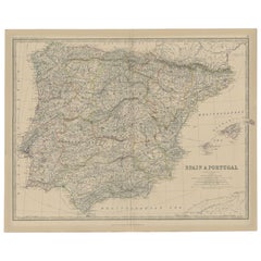
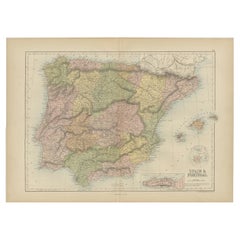
Antique Map of Spain and Portugal by Cruchley, 1854
About the Item
"Antique map of Spain and Portugal. Also depicts the islands Formentera, Ibiza, Mallorca and Minorca. Artists and Engravers: Engraved and published by G.F. Cruchley, mapseller and globe maker.
Artist: Engraved and published by G.F. Cruchley, mapseller and globe maker.
Condition: Very good, general age-related toning. Small tear on folding line, please study image carefully.
Date: 1854
Overall size: 48 x 38 cm.
Image size: 0.001 x 44.5 x 37 cm.
Antique prints have long been appreciated for both their aesthetic and investment value. They were the product of engraved, etched or lithographed plates. These plates were handmade out of wood or metal, which required an incredible level of skill, patience and craftsmanship. Whether you have a house with Victorian furniture or more contemporary decor an old engraving can enhance your living space. We offer a wide range of authentic antique prints for any budget.".
- Dimensions:Height: 14.97 in (38 cm)Width: 18.9 in (48 cm)Depth: 0 in (0.01 mm)
- Materials and Techniques:
- Period:
- Date of Manufacture:1854
- Condition:
- Seller Location:Langweer, NL
- Reference Number:
About the Seller
5.0
Platinum Seller
These expertly vetted sellers are 1stDibs' most experienced sellers and are rated highest by our customers.
Established in 2009
1stDibs seller since 2017
1,919 sales on 1stDibs
Typical response time: <1 hour
- ShippingRetrieving quote...Ships From: Langweer, Netherlands
- Return PolicyA return for this item may be initiated within 14 days of delivery.
More From This SellerView All
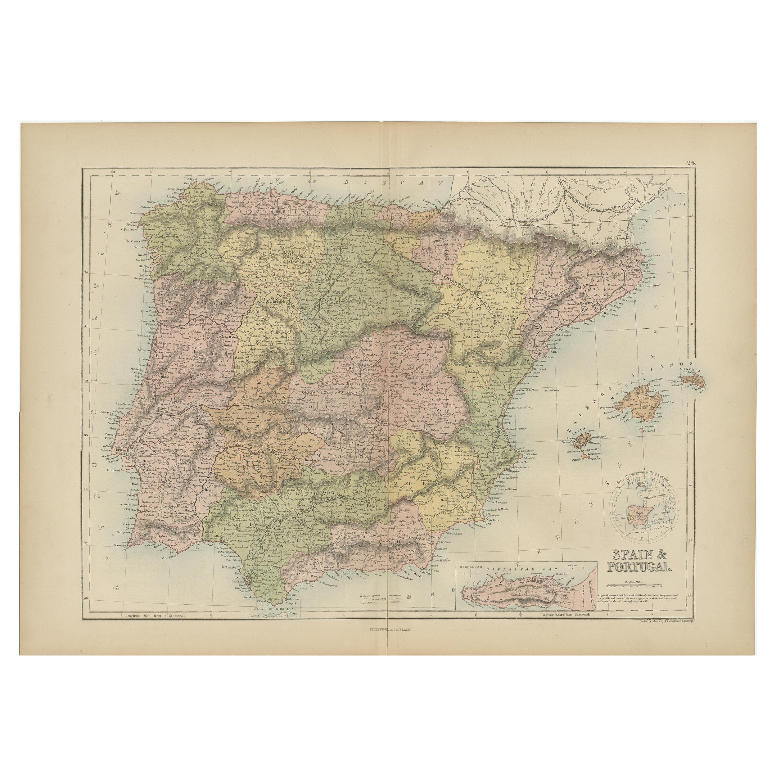
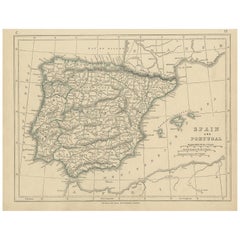
- Antique Map of Spain and Portugal, 1882Located in Langweer, NL"Antique map titled 'Spain & Portugal'. Old map of Spain and Portugal. This map originates from 'The Royal Atlas of Modern Geography, Exhibiting, in a S...Category
Antique 19th Century Maps
MaterialsPaper
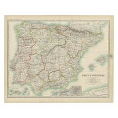
- Antique Map of Spain and Portugal by A & C. Black, 1870Located in Langweer, NLAntique map titled 'Spain and Portugal'. Original antique map of General map of Spain and Portugal with inset map of Gibraltar. This map originates from ‘Black's General Atlas of The...Category
Antique Late 19th Century Maps
MaterialsPaper
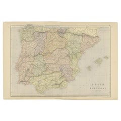
- Antique Map of Spain and Portugal by Lowry, '1852'Located in Langweer, NLAntique map titled 'Spain and Portugal'. Original map of Spain and Portugal. This map originates from 'Lowry's Table Atlas constructed and engraved ...Category
Antique Mid-19th Century Maps
MaterialsPaper
- Antique Map of Spain and Portugal by Levasseur, '1875'Located in Langweer, NLAntique map titled 'Carte générale de l'Espagne et du Portugal (..)'. Large map of Spain and Portugal. This map originates from 'Atlas de Géographie Moder...Category
Antique Late 19th Century Maps
MaterialsPaper
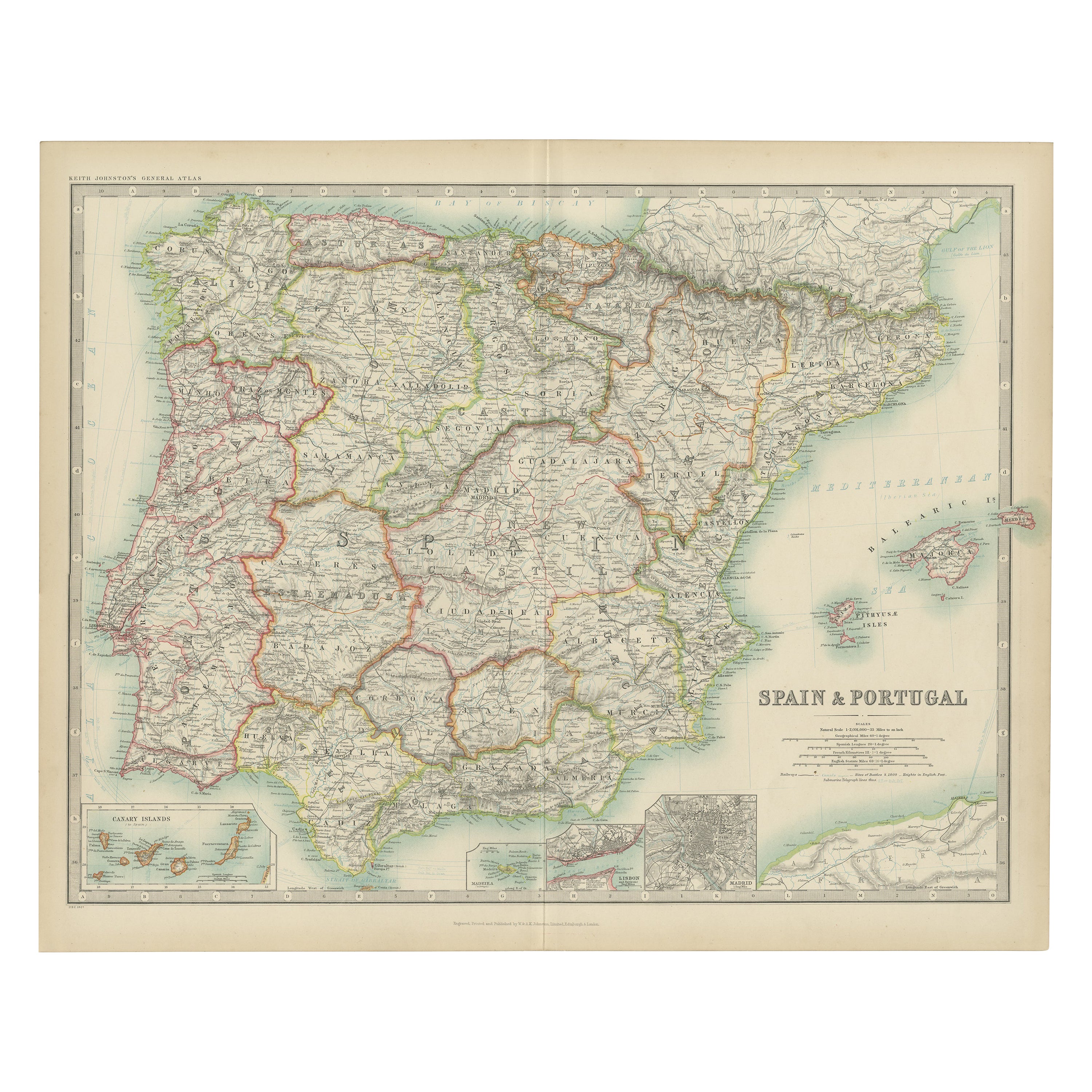
- Antique Map of Spain and Portugal by Johnston, '1909'Located in Langweer, NLAntique map titled 'Spain and Portugal'. Original antique map of Spain and Portugal. With inset maps of the Canary Islands, Madeira, Lisbon and Ma...Category
Early 20th Century Maps
MaterialsPaper
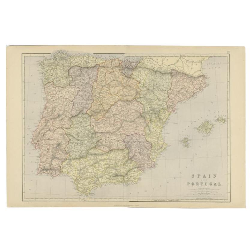
- Antique Map of Spain and Portugal by Weller, c.1890Located in Langweer, NLAntique map titled 'Spain and Portugal.' Map of Spain and Portugal, with the Balearic Islands (Mallorca, Menorca, Ibiza and Formentera). Sheet 22 from an unidentified British atlas p...Category
Antique 19th Century Maps
MaterialsPaper

You May Also Like
- Original Antique Map of Spain and Portugal, circa 1790Located in St Annes, LancashireSuper map of Spain and Portugal Copper plate engraving by A. Bell Published, circa 1790. Unframed.Category
Antique 1790s English Other Maps
MaterialsPaper
- Original Antique Map of Spain and Portugal by Thomas Clerk, 1817Located in St Annes, LancashireGreat map of Spain and Portugal Copper-plate engraving Drawn and engraved by Thomas Clerk, Edinburgh. Published by Mackenzie And Dent, 1817 Unframed.Category
Antique 1810s English Maps
MaterialsPaper
- Original Antique Map of Spain and Portugal, Engraved By Barlow, 1806Located in St Annes, LancashireGreat map of Spain And Portugal Copper-plate engraving by Barlow Published by Brightly & Kinnersly, Bungay, Suffolk. 1806 Unframed.Category
Antique Early 1800s English Maps
MaterialsPaper
- 1854 Map of Massachusetts, Connecticut and Rhode Island, Antique Wall MapLocated in Colorado Springs, COThis striking wall map was published in 1854 by Ensign, Bridgman & Fanning and has both full original hand-coloring and original hardware. This impression is both informative and highly decorative. The states are divided into counties, outlined in red, green, and black, and subdivided into towns. Roads, canals, and railroad lines are prominently depicted, although they are not all labeled. The mapmakers also marked lighthouses, banks, churches, and prominent buildings, with a key at right. The map is an informative and comprehensive overview of the infrastructural development of New England prior to the Civil War. Physical geographies depicted include elevation, conveyed with hachure marks, rivers and lakes. The impression features an inset map of Boston...Category
Antique 19th Century American Maps
MaterialsPaper
- 18th Century Hand Colored Map of Spain and Portugal by VisscherBy Nicolaes Visscher IILocated in Alamo, CAThis is an early 18th century map of Spain and Portugal, with attractive original hand-coloring, entitled "Hispaniae et Portugalliae Regna per Nicolaum Visscher cum Privilegio Ordinu...Category
Antique Early 18th Century Dutch Maps
MaterialsPaper
- 1861 Topographical Map of the District of Columbia, by Boschke, Antique MapLocated in Colorado Springs, COPresented is an original map of Albert Boschke's extremely sought-after "Topographical Map of the District of Columbia Surveyed in the Years 1856 ...Category
Antique 1860s American Historical Memorabilia
MaterialsPaper


Recently Viewed
View AllMore Ways To Browse
Antique Decor And More
Spanish Furniture And Decor
Spanish Antiques Metal
Maps Of Long Island
Long Island Map
Map Of Long Island
Antique Spanish Plates
Antique Metal Globes
Spain Antique Map
Antique Map Spain
Antique Maps Spain
Antique Spain Map
Antique Maps Of Spain
Antique Map Of Spain
Antique Map Globe
Spanish Decor Antique
Ibiza Furniture
Map Of Portugal