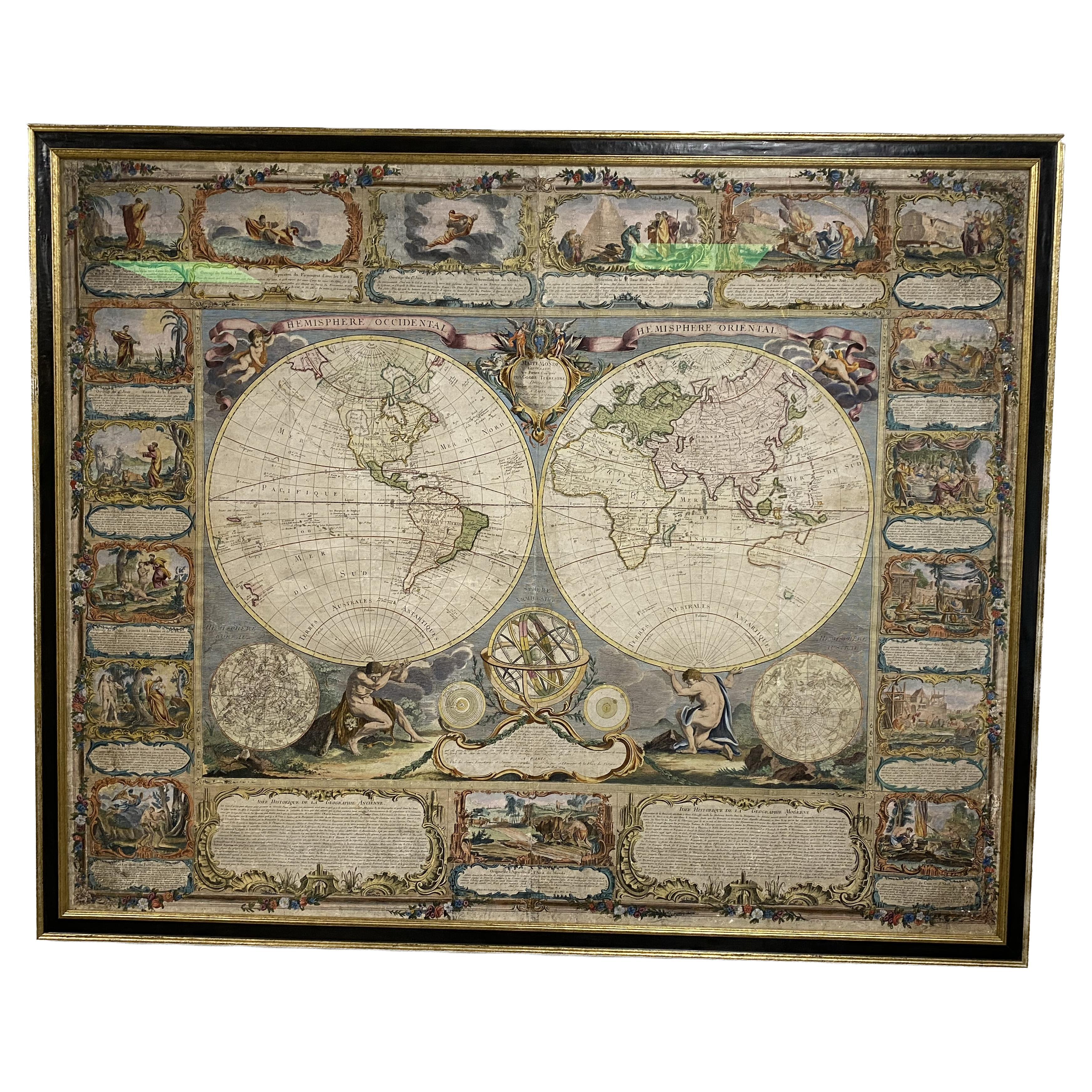
Archival Set of Seven Maps of the World and its Continents in Oak Cabinet
View Similar Items


1 of 10
Archival Set of Seven Maps of the World and its Continents in Oak Cabinet
About the Item
- Dimensions:Height: 49 in (124.46 cm)Width: 54 in (137.16 cm)Depth: 0.25 in (6.35 mm)
- Place of Origin:
- Period:
- Date of Manufacture:1905
- Condition:Wear consistent with age and use. Minor fading.
- Seller Location:Madison, WI
- Reference Number:1stDibs: LU92351391012
You May Also Like
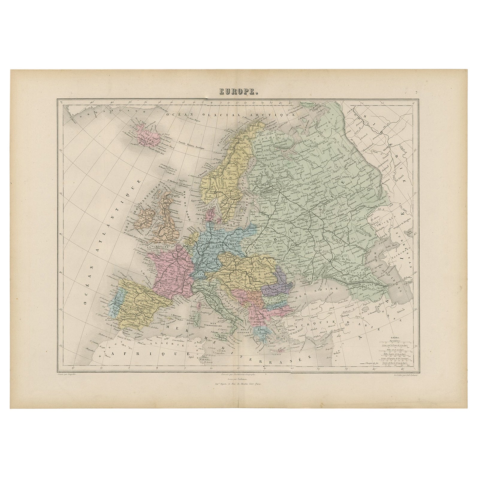
- Antique Map of the Europe Continent, 1880Located in Langweer, NLAntique map titled 'Europe'. Old map of the European continent. This map originates from 'Géographie Universelle Atlas-Migeon' by J. Migeon. Artists and Engravers: Published by J....Category
Antique 19th Century Maps
MaterialsPaper
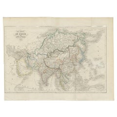
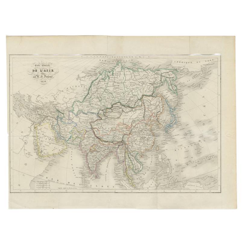
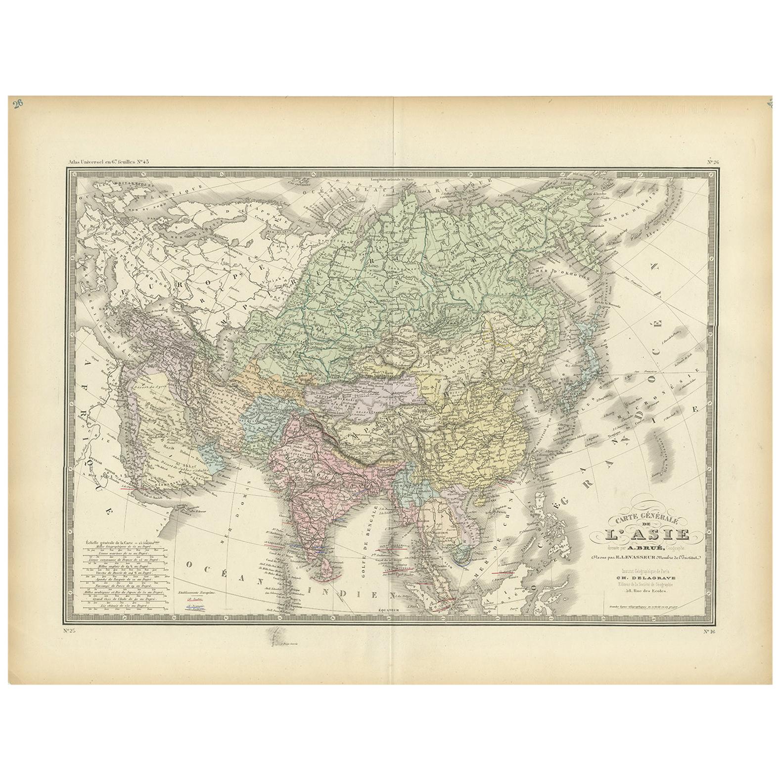
- Antique Map of The Asian Continent, 1855Located in Langweer, NLAntique map titled 'Carte Générale de l 'Asie'. Beautiful map of the Asian continent. This map originates from 'Voyage en Asie et en Afrique, d'aprés les récits des derniers voyageur...Category
Antique 19th Century Maps
MaterialsPaper
- Antique Map of the European Continent, 1882Located in Langweer, NLAntique map titled 'Europe'. Old map of the European continent. This map originates from 'The Royal Atlas of Modern Geography, Exhibiting, in a Series of Entirely Original and Authen...Category
Antique 19th Century Maps
MaterialsPaper
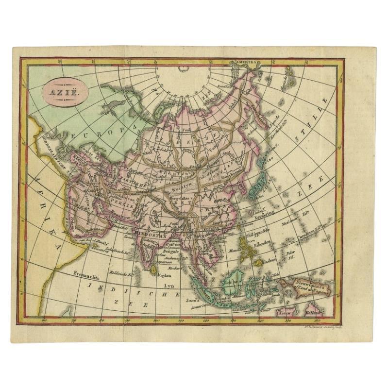
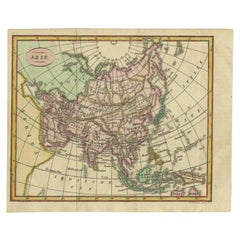
- Small Antique Map of the Asian Continent, 1841Located in Langweer, NLAntique map titled 'Azie.' Small map of the Asian continent. This map originates from 'De Aarde, beschouwd in haren Natuurlijken Toestand en Verdeeling (..)' by N.G. van Kampen. Publ...Category
Antique 19th Century Maps
MaterialsPaper
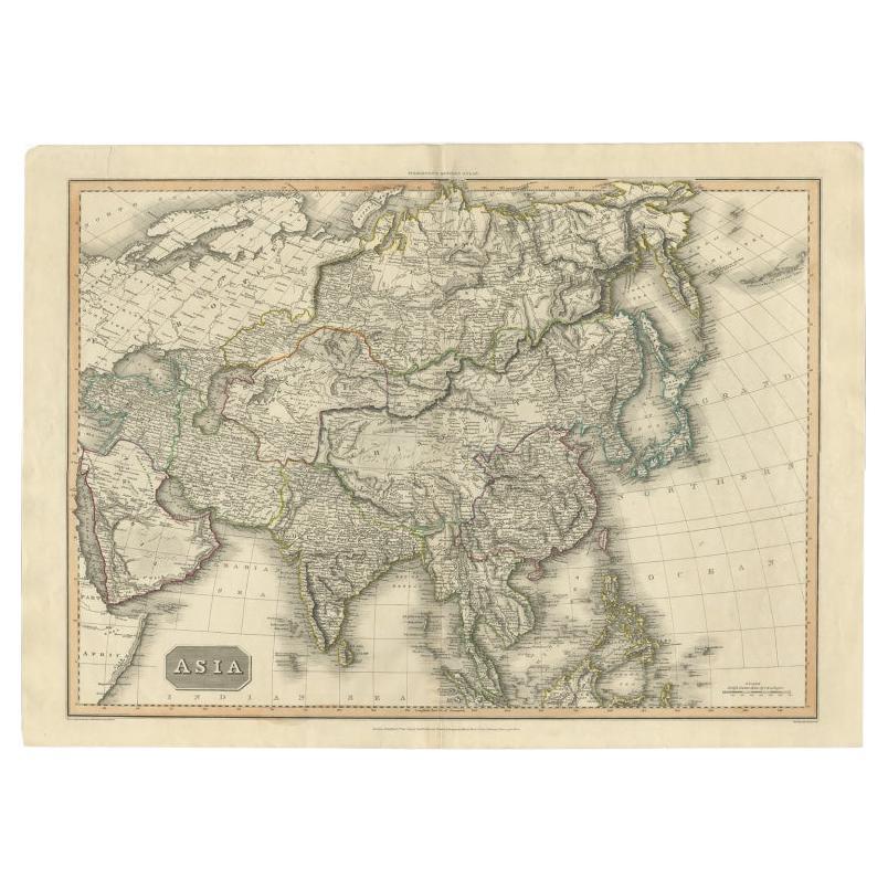
 $205 Sale Price24% Off
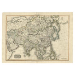
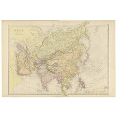
 - Large Antique Map of the Asian Continent, 1814Located in Langweer, NLAntique map titled 'Asia'. Large antique map of the Asian continent. Drawn under the direction of Mr. Pinkerton by L. Hebert. Artists and Engraver...Category
Antique 19th Century Maps
MaterialsPaper
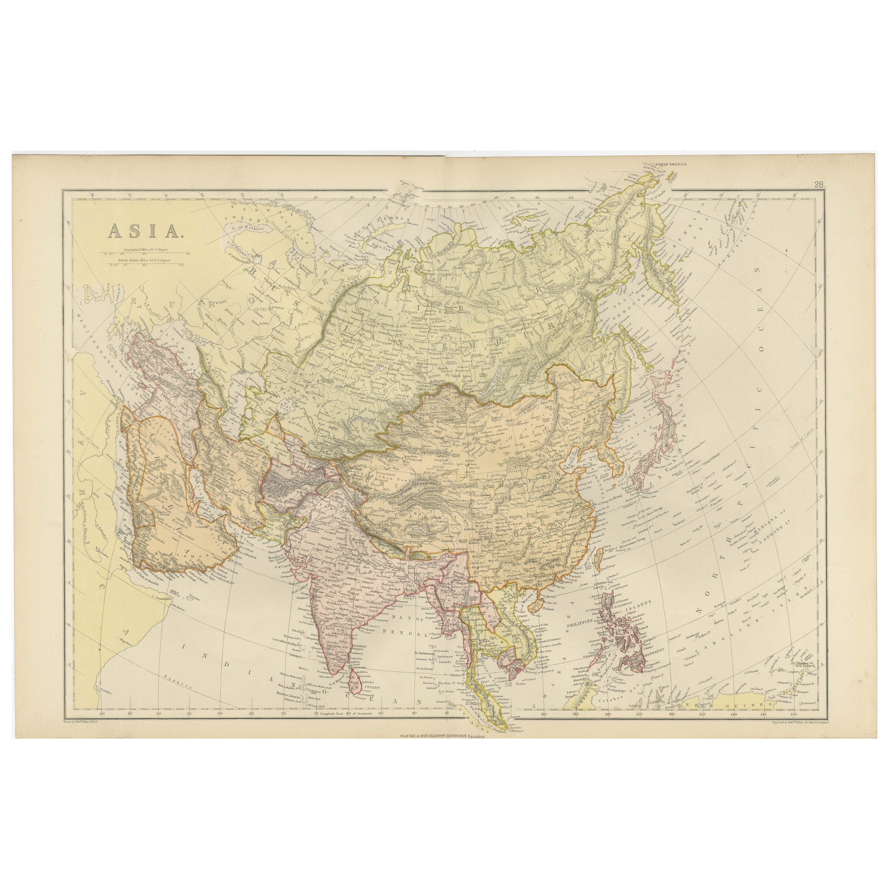
- Historical Map Depicting the Continent of Asia, 1882Located in Langweer, NLThis 1882 map presents a meticulously detailed representation of the continent of Asia, a testament to the cartographic skills of the era. Published as a part of 'Comprehensive Atlas...Category
Antique 1880s Maps
MaterialsPaper
 $253 Sale Price30% Off