Items Similar to Bhor Ghat a Mountain Passage Between Karjat & Khandala, Maharashtra, India, 1883


Want more images or videos?
Request additional images or videos from the seller
1 of 6
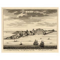
Bhor Ghat a Mountain Passage Between Karjat & Khandala, Maharashtra, India, 1883
About the Item
Plate: 'Bhor Ghat, 'Rampe du Chemin de fer, pres de Khandala'. This plate shows the Bhor Ghat a mountain passage located between Karjat and Khandala in Maharashtra, India. This plate originates from: 'Nouvelle Geographie Universelle. La Terre et les Hommes.', by Elisee Reclus, published 1875-1894 in Paris by Librairie hachette et Cie. This is a reknown 19 volume work on world geographie. This plate is from vol. VIII on 'L'Inde et L'Indo-Chine.', published 1883.
Artists and Engravers: Author: Elisee Reclus (1830-1905), also known as Jacques Elisee Reclus, was a renowned French geographer, writer and anarchist. He produced his 19-volume masterwork La Nouvelle Geographie universelle, la terre et les hommes ('Universal Geography.'), over a period of nearly 20 years (1875-1894). In 1892 he was awarded the prestigious Gold Medal of the Paris Geographical Society for this work, despite his having been banished from France because of his political activism. This plate engraved by Hildibrand after Taylor after M. Frith.
- Dimensions:Height: 7.09 in (18 cm)Width: 10.44 in (26.5 cm)Depth: 0 in (0.02 mm)
- Materials and Techniques:
- Period:
- Date of Manufacture:1883
- Condition:Condition: Good. General age related toning; Occasional light foxing. Please study scan carefully.
- Seller Location:Langweer, NL
- Reference Number:
About the Seller
5.0
Platinum Seller
These expertly vetted sellers are 1stDibs' most experienced sellers and are rated highest by our customers.
Established in 2009
1stDibs seller since 2017
1,929 sales on 1stDibs
Typical response time: <1 hour
- ShippingRetrieving quote...Ships From: Langweer, Netherlands
- Return PolicyA return for this item may be initiated within 14 days of delivery.
More From This SellerView All
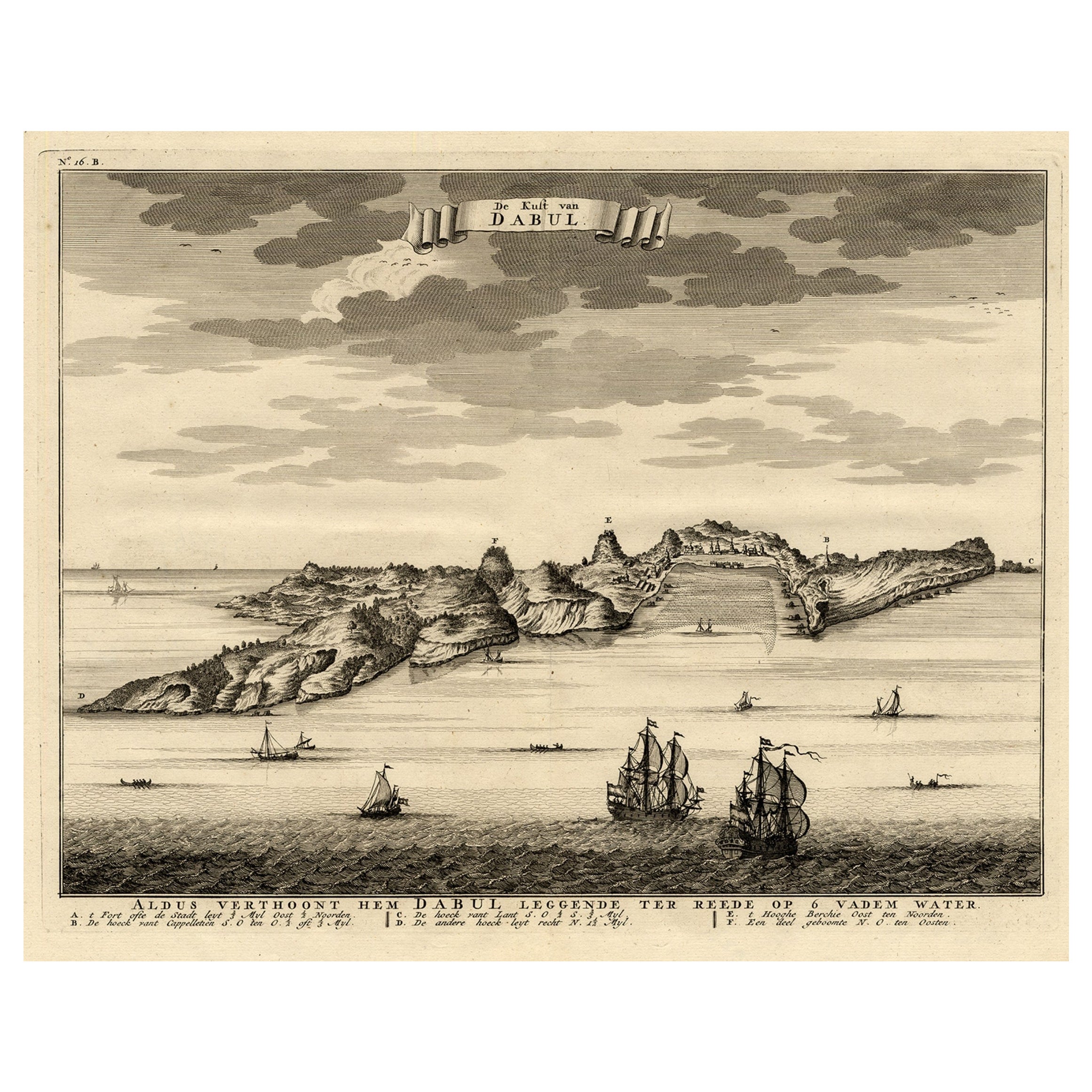
- Rare Engraving of the Coast of Dabhol or Dabul, Ratnagiri, Maharashtra in IndiaLocated in Langweer, NLAntique print titled 'De Kust van Dabul'. Antique print depicting the coast of Dabhol / Dabul in India. This print originates from 'Oud en Nieuw Oost-Indiën' by F. Valentijn. Artist...Category
Antique 18th Century Prints
MaterialsPaper
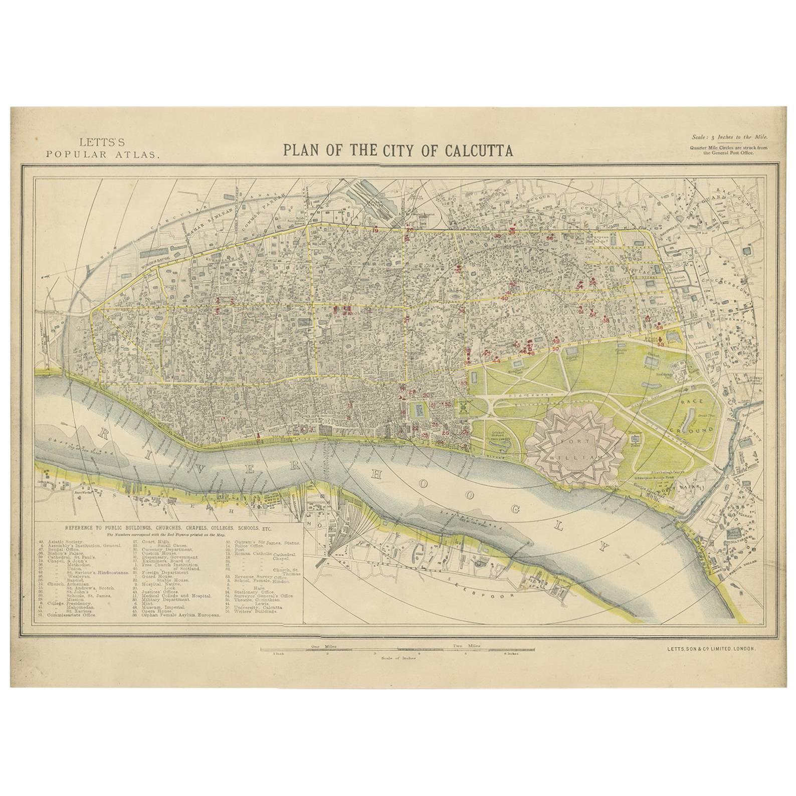
- Antique Plan of the City of Calcutta 'India' by Letts, 1883Located in Langweer, NLBeautiful colored plan showing buildings (with key), Fort William, race ground, canals, railroads, etc. This plan originates from Letts's Popular Atlas.Category
Antique Late 19th Century Maps
MaterialsPaper
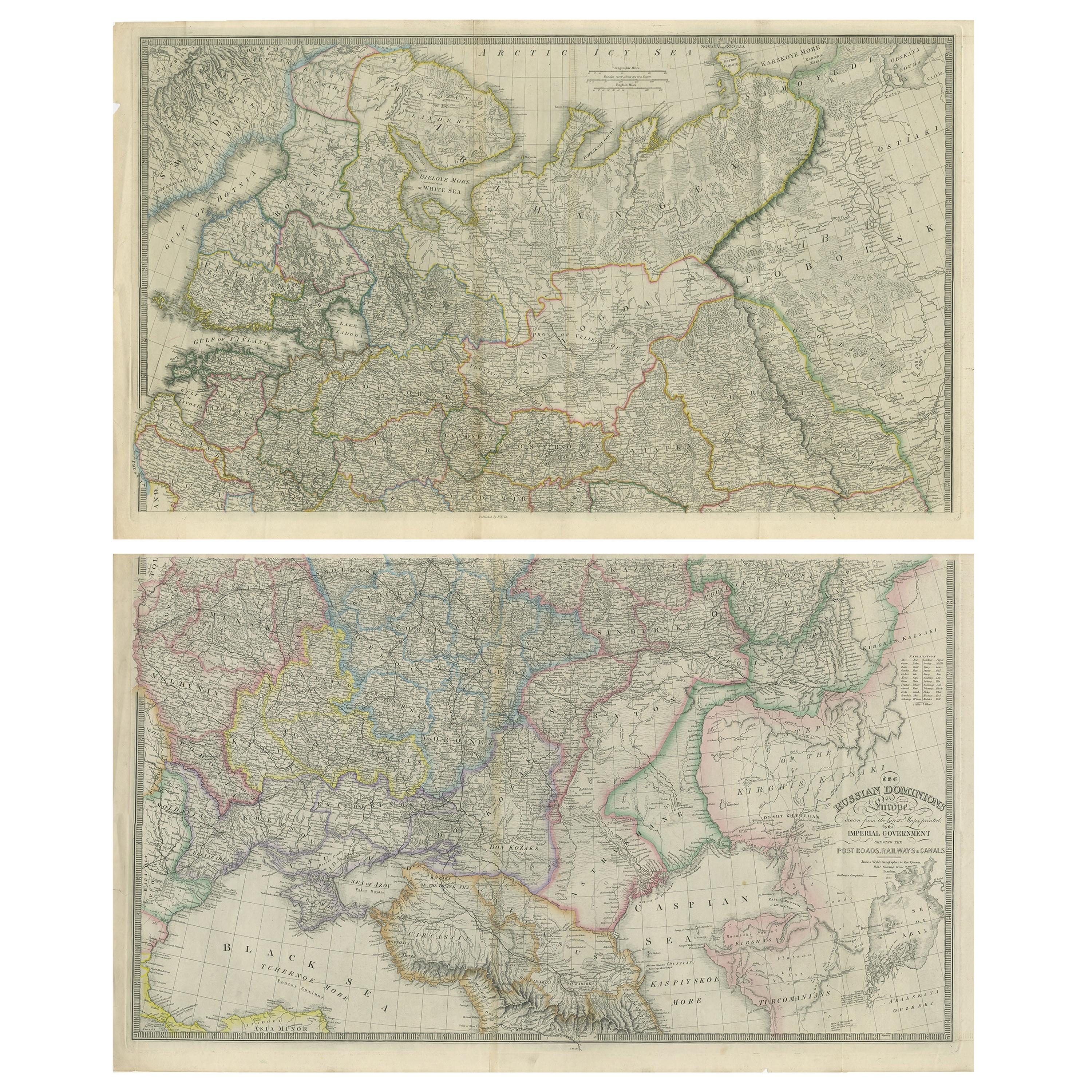
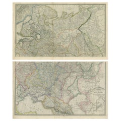
- Set of 2 Antique Maps of Russia by Wyld, 1883Located in Langweer, NLAntique map titled 'The Russian Dominions in Europe (..)'. Two separate sheets of Russia, remarkably detailed. Published by James Wyld, 1883. Please note, the last image is an imp...Category
Antique Late 19th Century Maps
MaterialsPaper
- Original Antique Map of Northern IndiaBy Jakob van der SchleyLocated in Langweer, NLAntique map titled 'Carte de l'Indoustan (..) - Kaart van Hindoestan (..)'. Original antique map of northern India. This map originates from 'His...Category
Antique Mid-18th Century Maps
MaterialsPaper
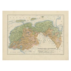
- Antique Map of the Dutch Most Northern Provinces Friesland and Groningen, 1883Located in Langweer, NLAntique map titled 'Friesland en Groningen'. Map of Friesland and Groningen, provinces of the Netherlands. This map originates from 'Atlas van Nederland volgens de nieuwe spelregels'...Category
Antique 19th Century Maps
MaterialsPaper
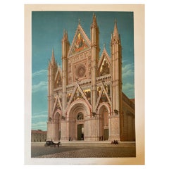
- Large Polychrome Masterpieces of Monumental Art in Italy 'V to XVI Century' 1883Located in Langweer, NLSix impressive full page colored chromolithographic plates of monumental art in Italy. Published in 1883. These are large-folio seized in a clamshell portfolio and include the 16 lea...Category
Antique 1880s Prints
MaterialsPaper


You May Also Like
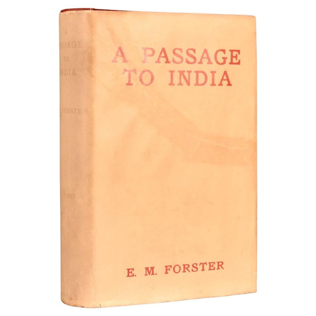
- 1924 A Passage to IndiaBy E.M. Forster 1Located in Bath, GBAn exceptional first edition of this canonical work of colonial era fiction, presented in an excellent example of the original unclipped dust wrapper. An Important Work, First Editi...Category
Vintage 1920s British Books
MaterialsPaper
- Original Antique Map of India. C.1780Located in St Annes, LancashireGreat map of India Copper-plate engraving Published C.1780 Three small worm holes to right side of map and one bottom left corner Unframed.Category
Antique Early 1800s English Georgian Maps
MaterialsPaper

- Map of the Holy Land "Carte de la Syrie et de l'Egypte" by Pierre M. LapieBy Pierre M. LapieLocated in Alamo, CAAn early 19th century map of ancient Syria and Egypt entitled "Carte de la Syrie et de l'Egypte anciennes/dressée par M. Lapie, Colonel d'Etat Major, et...Category
Antique Early 19th Century French Maps
MaterialsPaper
- Large 17th Century Hand Colored Map of England and the British Isles by de WitBy Frederick de WitLocated in Alamo, CAA large hand colored 17th century map of England and the British Isles by Frederick de Wit entitled "Accuratissima Angliæ Regni et Walliæ Principatus", published in Amsterdam in 1680. It is a highly detailed map of England, Scotland, the Scottish Isles...Category
Antique Late 17th Century Dutch Maps
MaterialsPaper
- Captain Cook's Exploration of Tahiti 18th C. Hand-Colored Map by BellinBy Jacques-Nicolas BellinLocated in Alamo, CAThis beautiful 18th century hand-colored copper plate engraved map is entitled "Carte de l'Isle de Taiti, par le Lieutenant J. Cook" was created by Jacques Nicolas Bellin and publish...Category
Antique Mid-18th Century French Maps
MaterialsPaper
- Sweden & Adjacent Portions of Scandinavia: A Hand-Colored 18th C. Map by HomannBy Johann Baptist HomannLocated in Alamo, CAThis hand-colored map of Sweden and adjacent portions of Scandinavia entitled "Regni Sueciae in Omnes suas Subjacentes Provincias accurate divisi Tabula Generalis" was created by Joh...Category
Antique 1720s German Maps
MaterialsPaper


