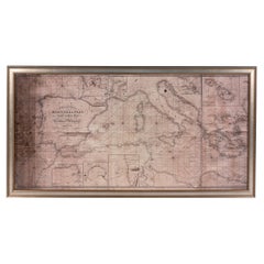
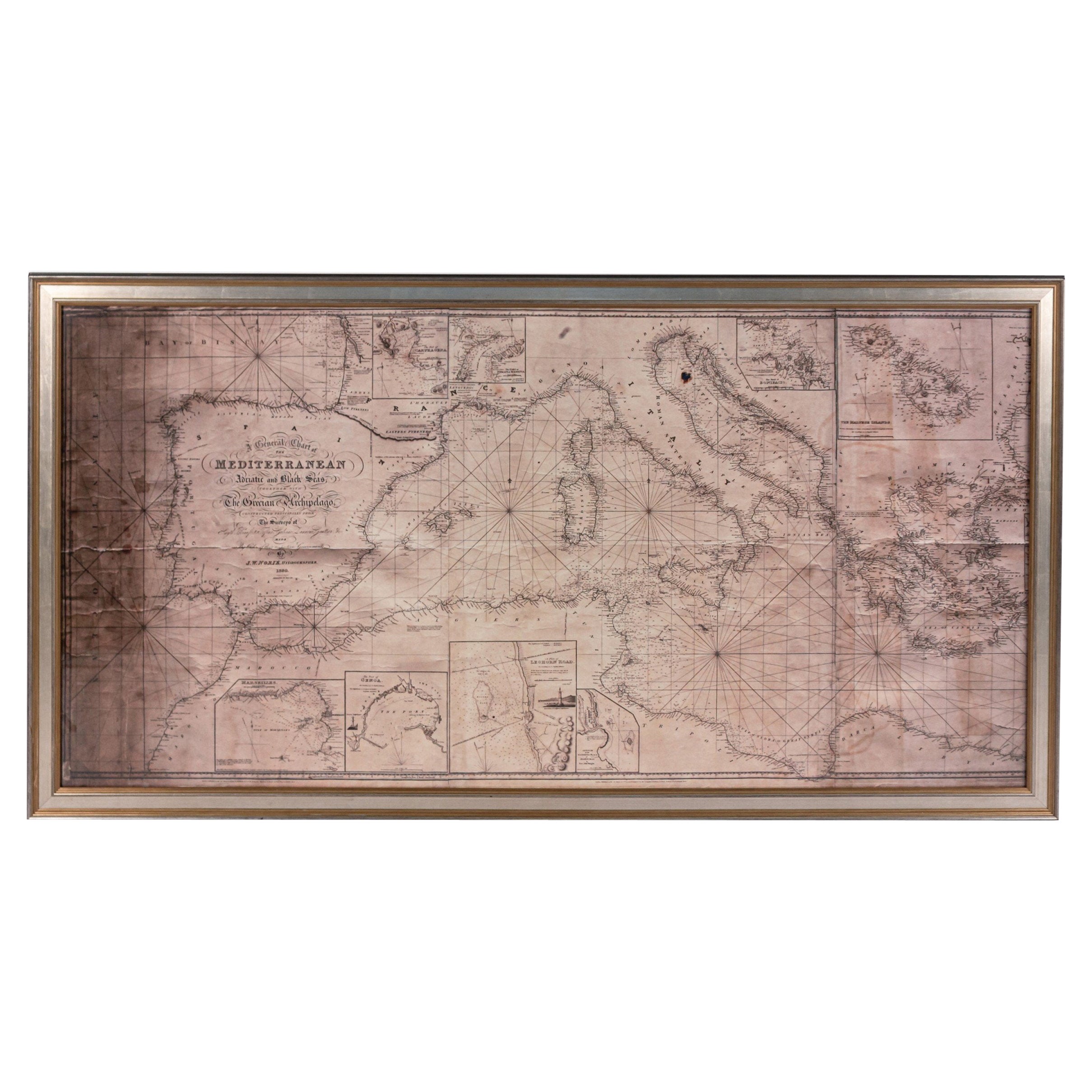
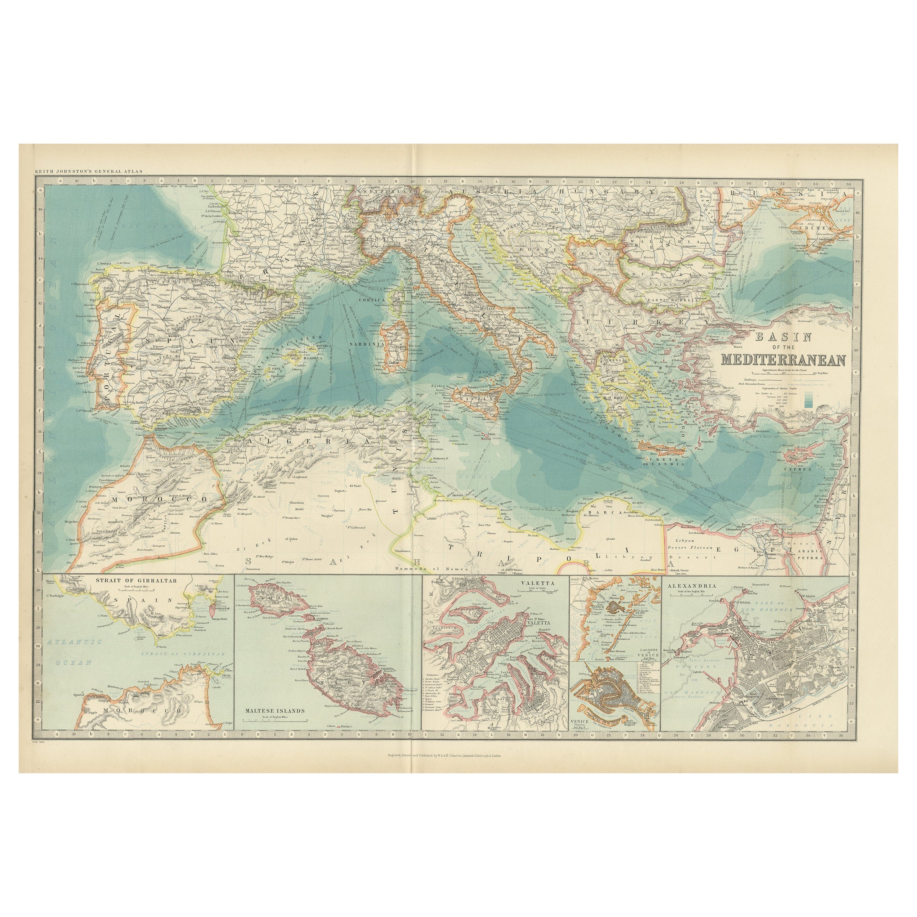
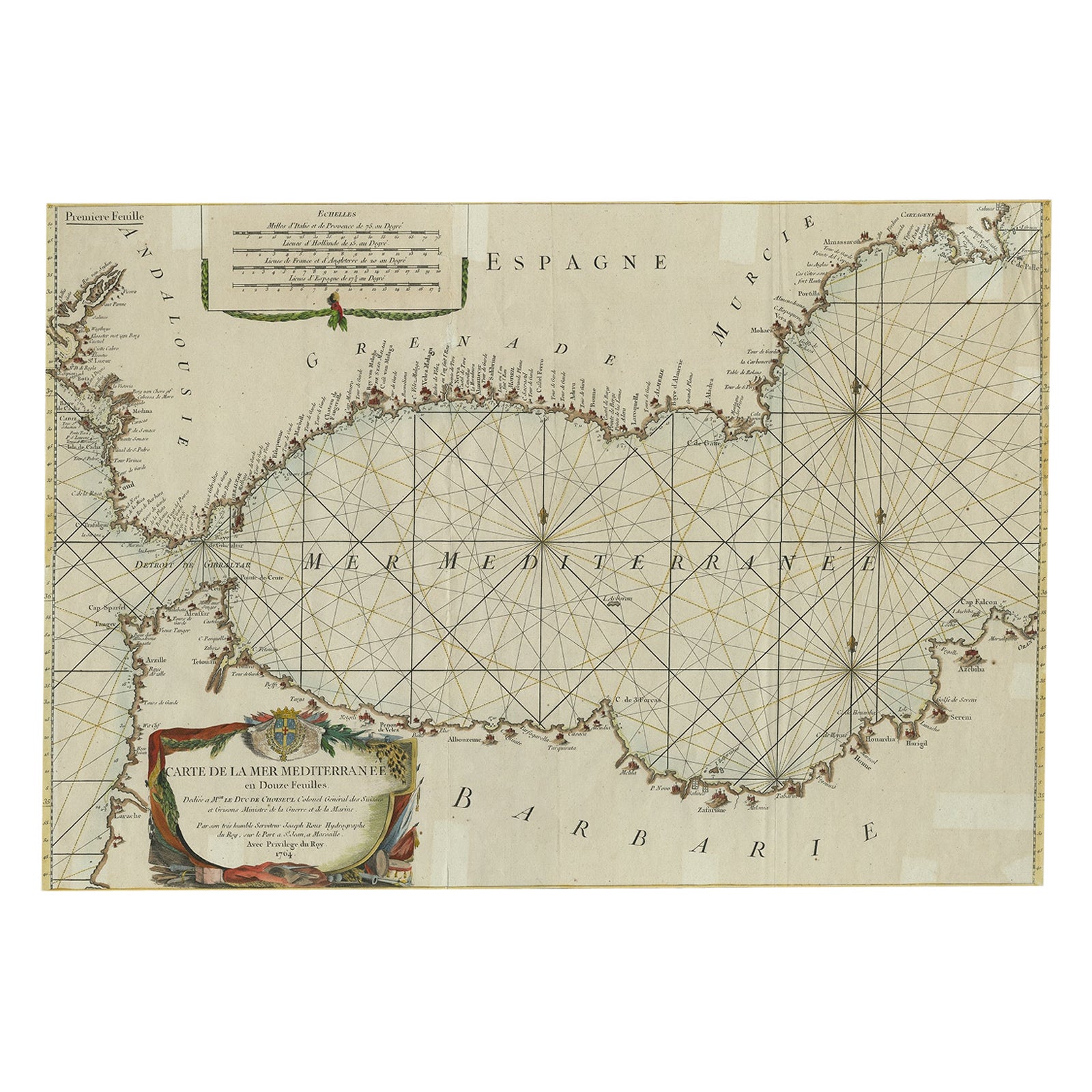
Framed Antique Map of Southern France & the Mediterranean Found in Paris
View Similar Items


1 of 5
Framed Antique Map of Southern France & the Mediterranean Found in Paris
About the Item
- Dimensions:Height: 33.5 in (85.09 cm)Width: 45 in (114.3 cm)Depth: 1.25 in (3.18 cm)
- Materials and Techniques:
- Place of Origin:
- Period:
- Date of Manufacture:1800s
- Condition:Wear consistent with age and use. Map has previously been repaired--exact age is unknown. Age of repairs also unknown. Framing is all new.
- Seller Location:Houston, TX
- Reference Number:1stDibs: LU1671210134083
You May Also Like
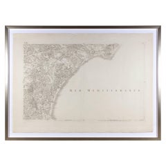
- Large Framed Map of the MediterraneanLocated in New York, NYLarge map/chart chart of The Mediterranean and the Grecian Archipelago showing Italy, Sardinia, Corsica, part of France, etc. in a black frame.Category
20th Century French Mid-Century Modern Maps
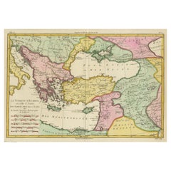
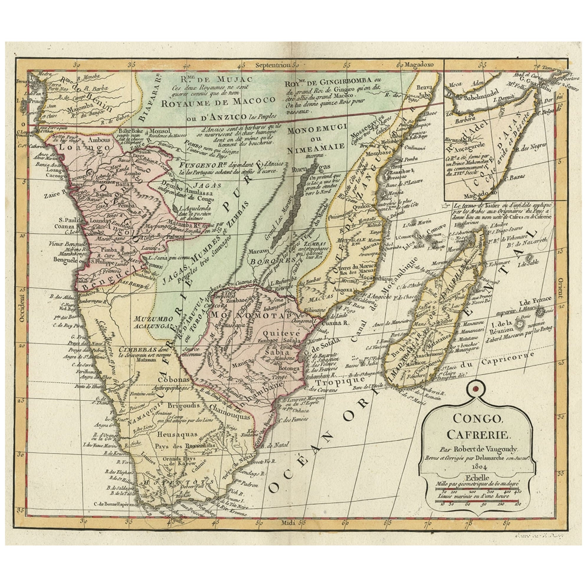
- Antique Map of the Eastern Mediterranean, C.1710Located in Langweer, NLAntique map Middle East titled 'De Beschryving van de Reysen Pauli en van de Andere Apostelen'. Antique map of the Eastern Mediterranean with det...Category
Antique 18th Century Maps
MaterialsPaper
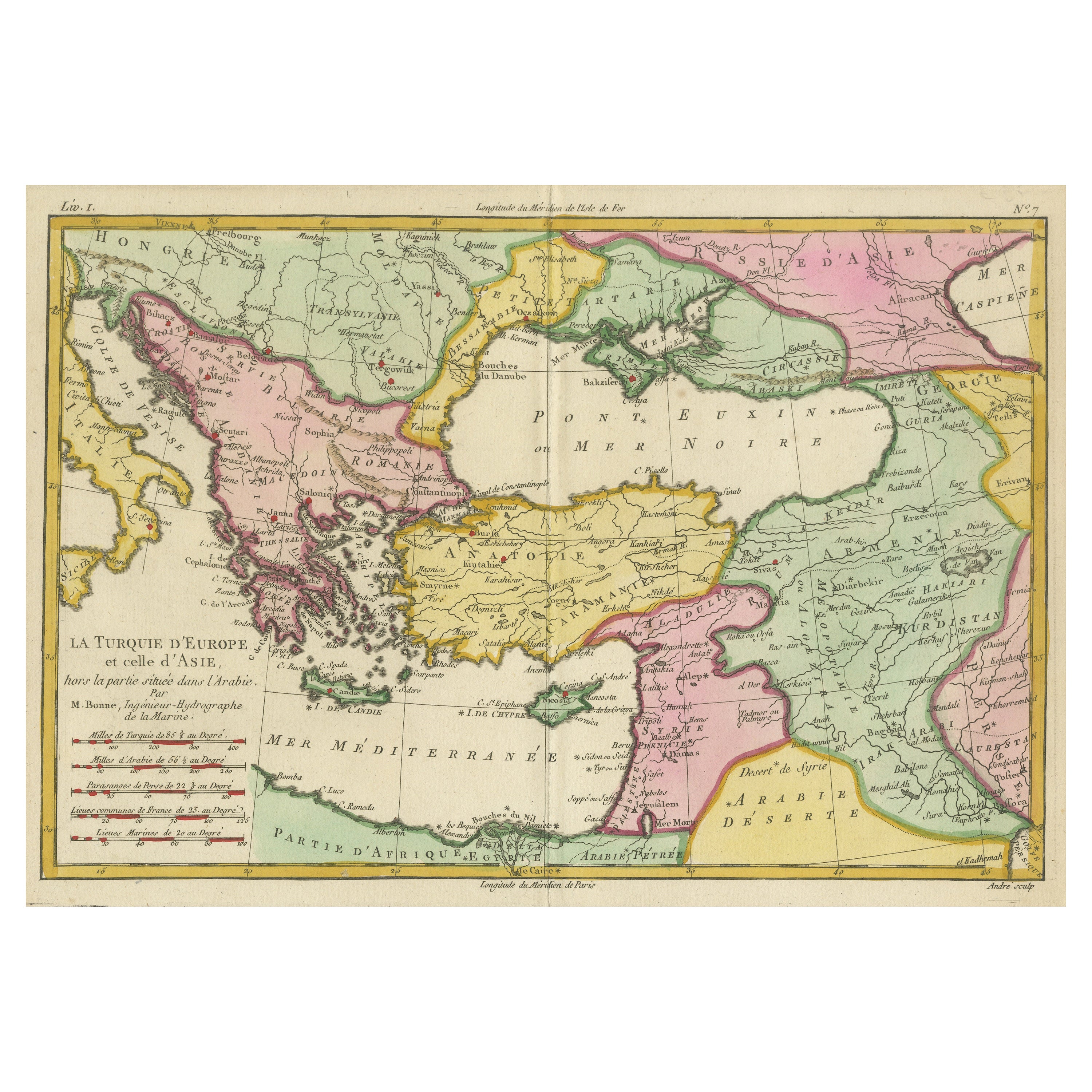
- Antique Map of the Eastern Mediterranean and the BalkansLocated in Langweer, NLAntique map titled 'La Turquie d'Europe et celle d'Asie'. Attractive double page map of the Eastern Mediterranean and the Balkans by R. Bonne. Originates from 'Atlas de Toutes les Pa...Category
Antique Late 18th Century Maps
MaterialsPaper
- Antique Map of Islands in the Mediterranean by Bowen, 'c.1760'Located in Langweer, NLAntique map titled 'Particular Draughts of some of the chief African Islands (..)'. Eight small maps on one sheet including 'Islands of Malta Goze & Cuming, An Accurate Chart of Cape de Verde Islands…, Island of St Helena.., Island of Madera, Island of Teneriffe, The Bay of Agoa…, The Dutch Fort at the Cape of Good Hope…, A Draught of Table Bay...Category
Antique Mid-18th Century Maps
MaterialsPaper
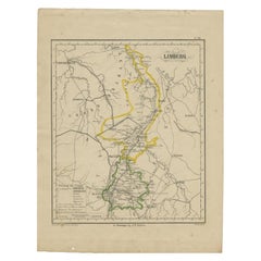
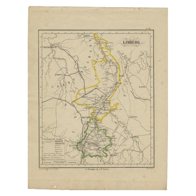
- Antique Map of Limburg, The Southern Most Province in The Netherlands, c.1870Located in Langweer, NLAntique map titled 'Limburg'. Map of the province of Limburg, the Netherlands. This map originates from 'F. C. Brugsma's Atlas van het Koninkrijk der Nederlanden (..)'. Artists and E...Category
Antique 19th Century Maps
MaterialsPaper
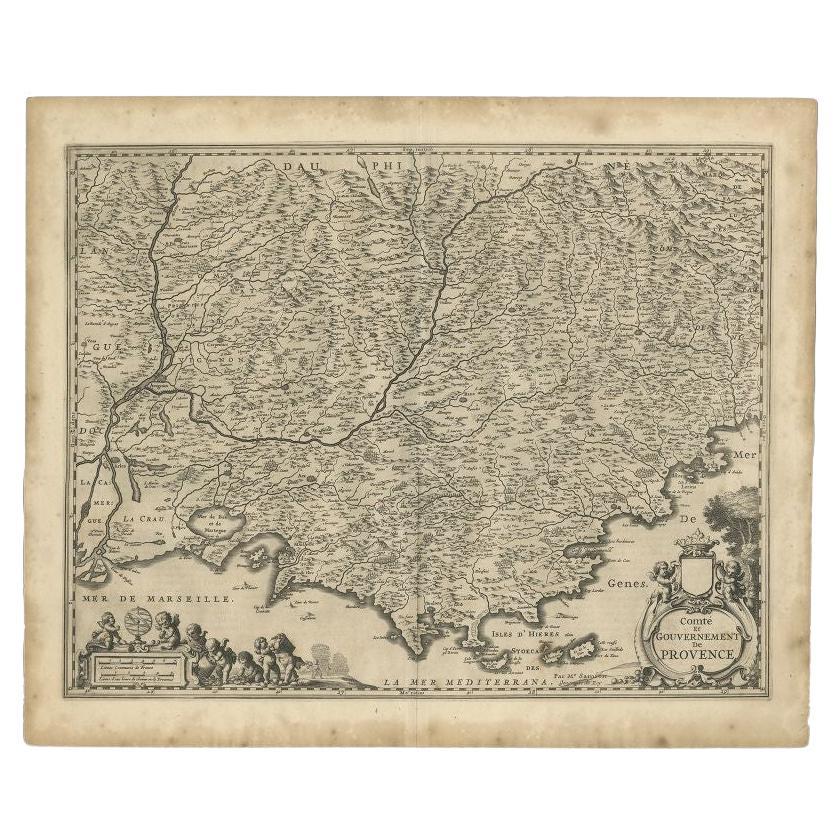
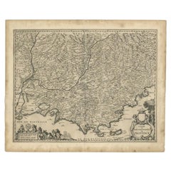
- Original Antique Map of the Southern Coast of France by Janssonius, 1657By Johannes JanssoniusLocated in Langweer, NLAntique map of France titled 'Comté et Gouvernement de Provence'. Decorative map of the southern coast of France. This map originates from 'Atlas Novus,...Category
Antique 17th Century Maps
MaterialsPaper
 $633 Sale Price20% Off