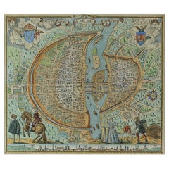
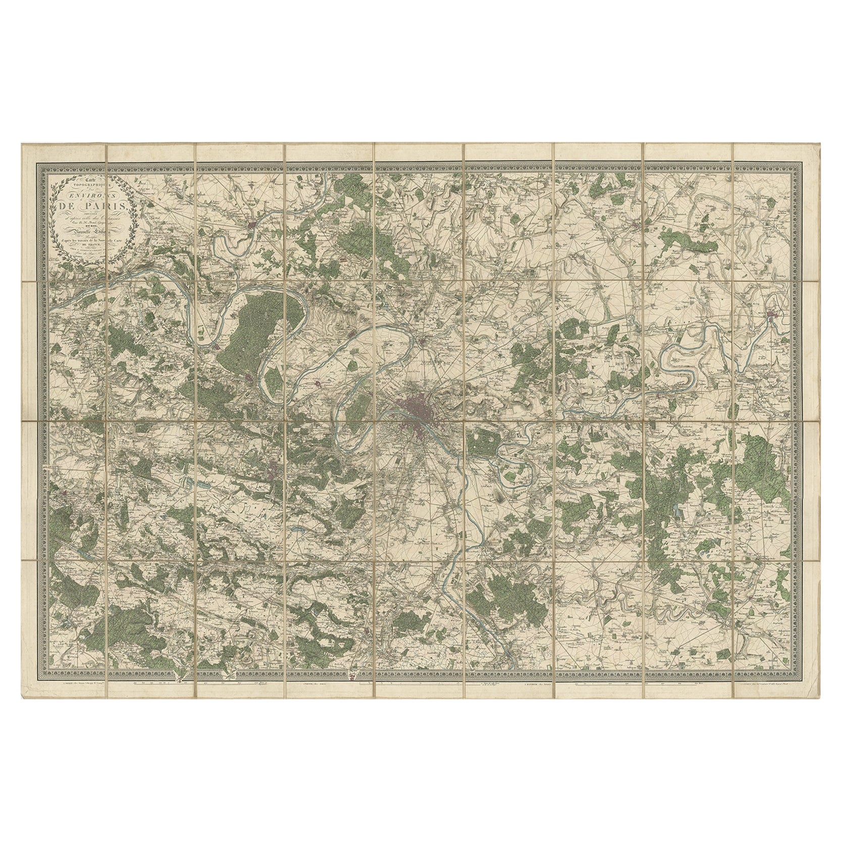
French Map of Paris, Musuem Carnavalet Rossingol University Map, 1576
View Similar Items


1 of 8
French Map of Paris, Musuem Carnavalet Rossingol University Map, 1576
About the Item
- Dimensions:Height: 21 in (53.34 cm)Width: 19 in (48.26 cm)Depth: 1 in (2.54 cm)
- Materials and Techniques:
- Place of Origin:
- Period:
- Date of Manufacture:1576
- Condition:Minor structural damages.
- Seller Location:WILMINGTON, CA
- Reference Number:Seller: 2833972259681stDibs: LU7059230034572
Authenticity Guarantee
In the unlikely event there’s an issue with an item’s authenticity, contact us within 1 year for a full refund. DetailsMoney-Back Guarantee
If your item is not as described, is damaged in transit, or does not arrive, contact us within 7 days for a full refund. Details24-Hour Cancellation
You have a 24-hour grace period in which to reconsider your purchase, with no questions asked.Vetted Professional Sellers
Our world-class sellers must adhere to strict standards for service and quality, maintaining the integrity of our listings.Price-Match Guarantee
If you find that a seller listed the same item for a lower price elsewhere, we’ll match it.Trusted Global Delivery
Our best-in-class carrier network provides specialized shipping options worldwide, including custom delivery.You May Also Like
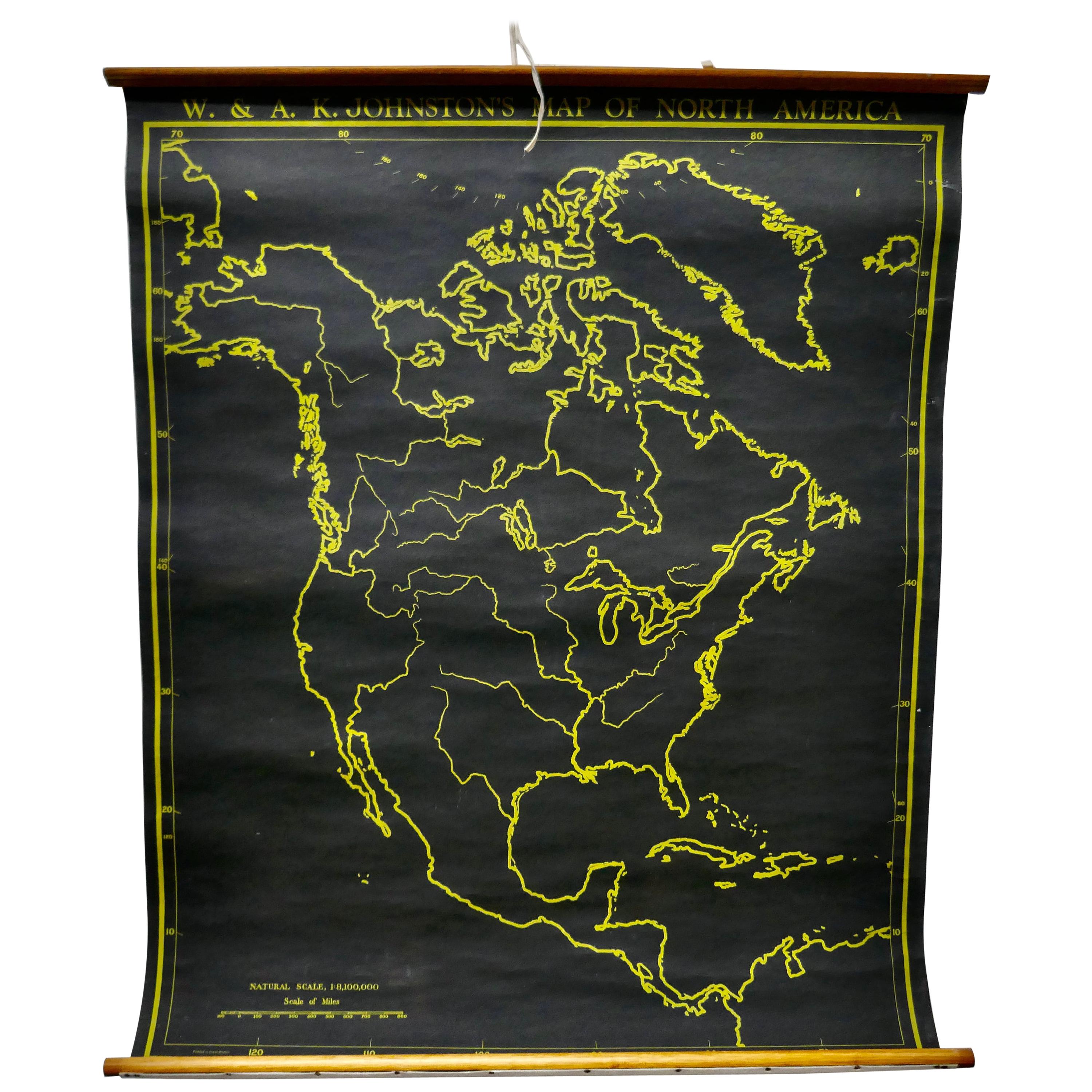
University Chart “Black Map of North America
Located in Godshill, Isle of Wight
University Chart “Black Map of North America
W&A K Johnston’s Charts of Physical Maps By G W Bacon,
This is a Black Physical map of North A...
Category
Early 20th Century Industrial Maps
Materials
Linen

Large University Chart “Physical Map of Africa” by Bacon
Located in Godshill, Isle of Wight
Large university chart “Physical Map of Africa” by Bacon
W&A K Johnston’s Charts of Physical Maps By G W Bacon,
This is colorful Physical map of North America, it is large lithograph set...
Category
Early 20th Century Folk Art Posters
Materials
Linen

Large University Chart “Political Map of North America” by Bacon
Located in Godshill, Isle of Wight
Large University chart “Political Map of North America” by Bacon
W&A K Johnston’s Charts of Political Maps by G W Bacon,
This is colorful Physical ...
Category
Early 20th Century American Empire Posters
Materials
Linen

Large University Chart “Political Map of North America” by Bacon
Located in Godshill, Isle of Wight
Large University Chart “Political Map of North America” by Bacon
W&A K Johnston’s Charts of Physical Maps By G W Bacon,
This is colourful Physical map ...
Category
Early 20th Century American Empire Posters
Materials
Linen

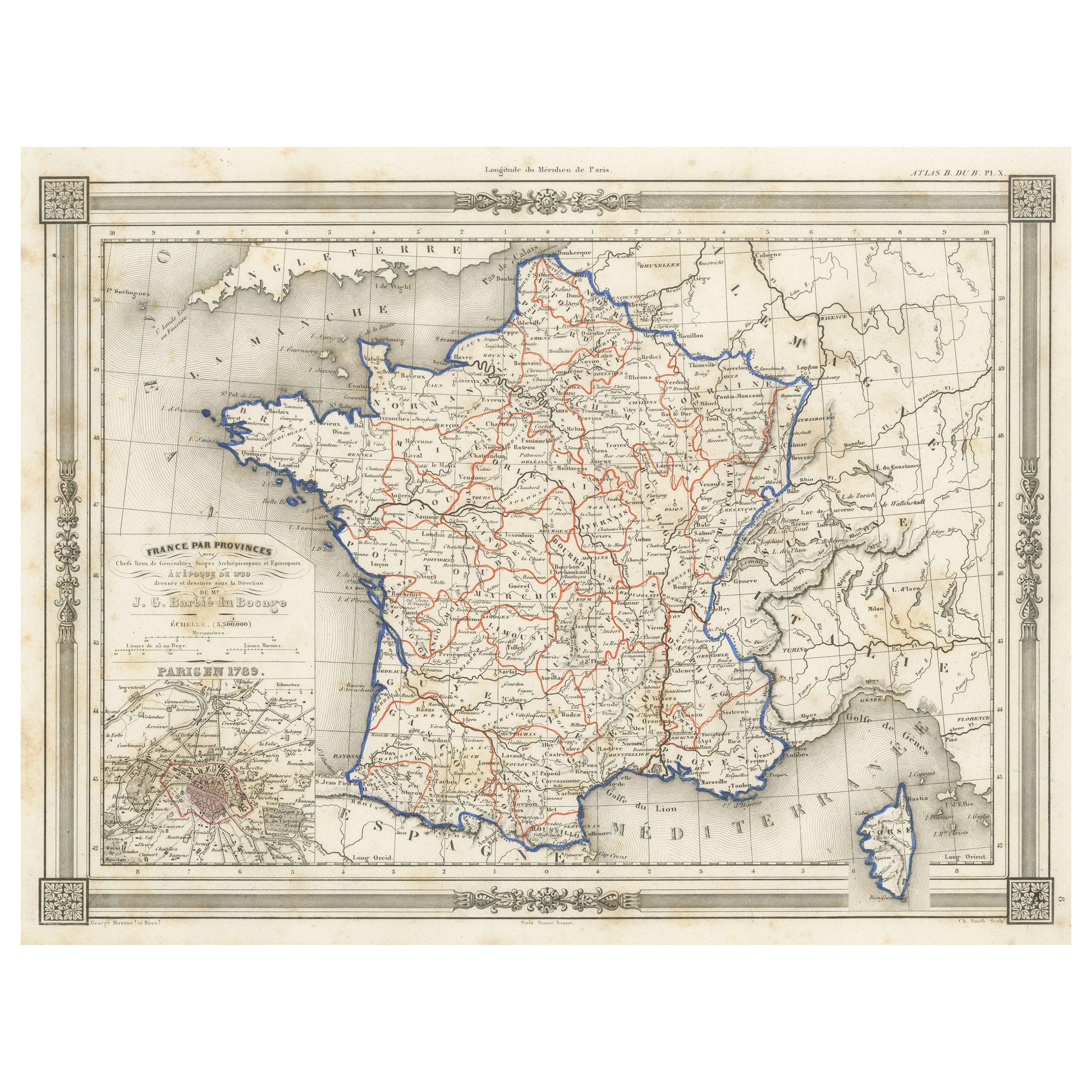
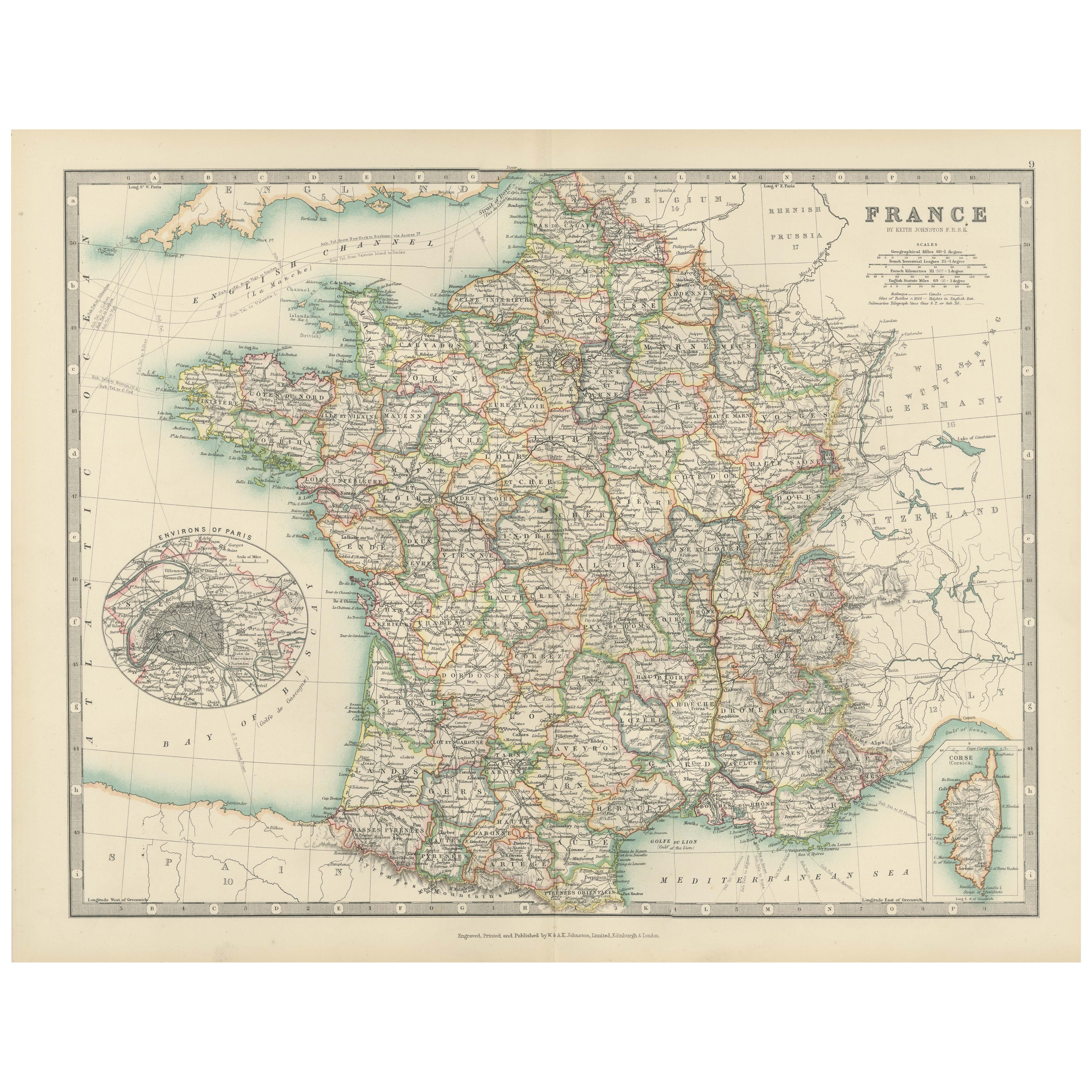
Antique Map of France in Provinces, with Inset of Paris
Located in Langweer, NL
Antique map titled 'France par Provinces'. Original antique map of France in Provinces. It covers from the Flanders in the north to Roussillon in the south and from Brittany in the w...
Category
Antique Mid-19th Century Maps
Materials
Paper

$102 Sale Price
20% Off
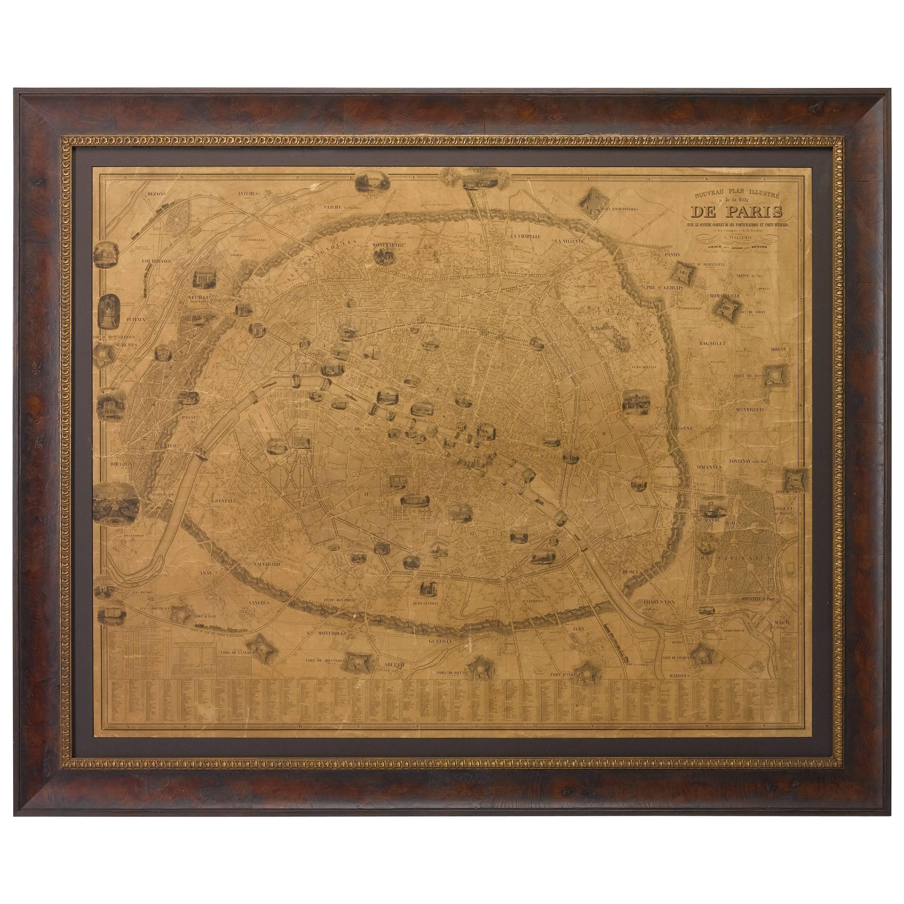
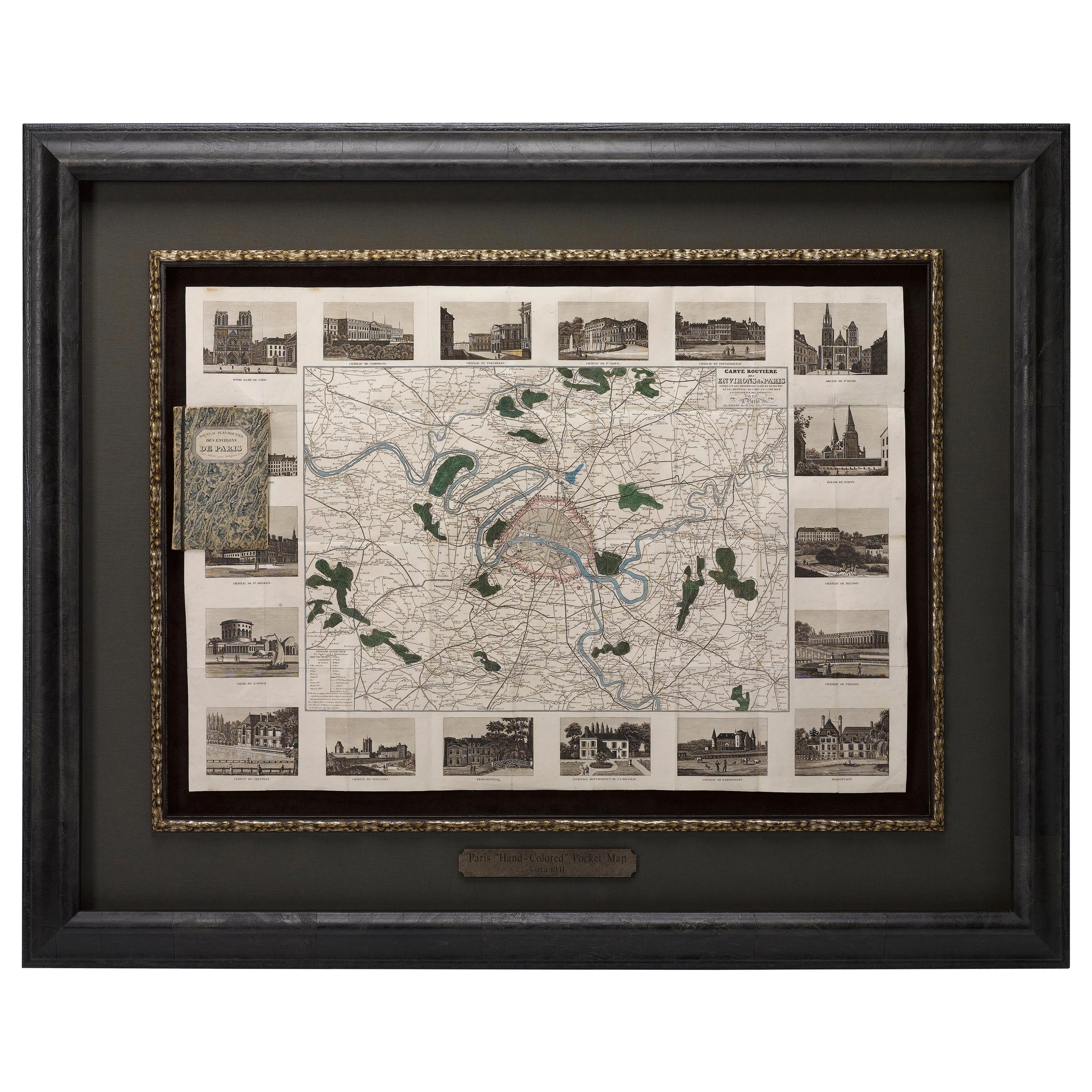
Plan of Paris, France, by A. Vuillemin, Antique Map, 1845
Located in Colorado Springs, CO
This large and detailed plan of Paris was published by Alexandre Vuillemin in 1845. The map conveys a wonderful amount of information and is decorated throughout with pictorial vigne...
Category
Antique 1840s American Maps
Materials
Paper

Recently Viewed
View AllMore Ways To Browse
Pig Bench
Pineapple Chair
Pineapple Wallpaper
Pink Goblets
Pk9 Chairs
Polished Aluminum Counter Stools
Porcelain Coffee Mug
Porcelain Girl Basket Flowers
Porcelain Handle Knives
Porcelain Toucan
Porcelaine Empire
Porsgrund Norway
Portland Furniture Manufacturing Company
Postmodern Barrel Chairs
Pottery Goblet
Poul Kjaerholm Pk9 Chairs
Powder Jars
Prelude International Sterling