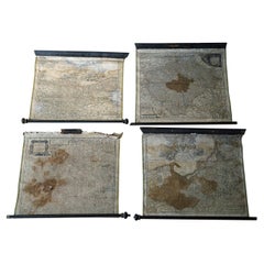
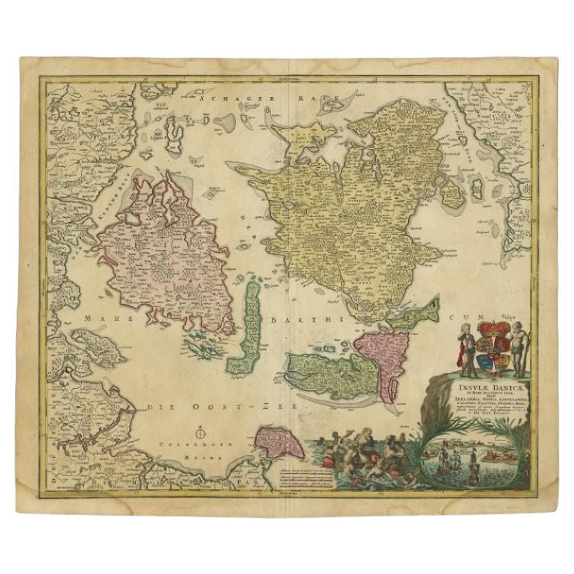
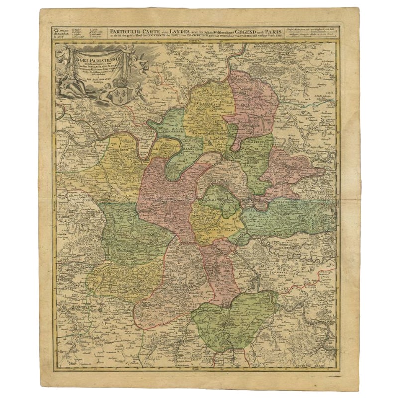
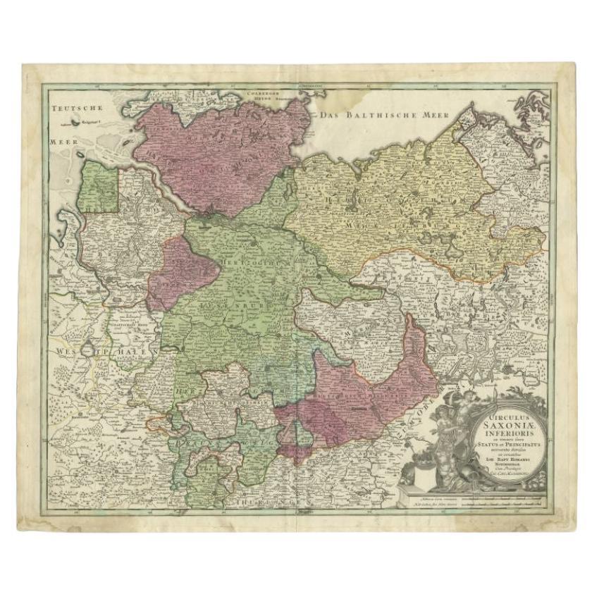
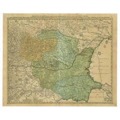
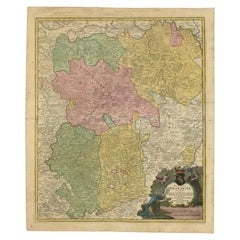
Group of Four 18thC German Maps by Johann Baptist Homann Dated from 1720-1757
View Similar Items


1 of 20
Group of Four 18thC German Maps by Johann Baptist Homann Dated from 1720-1757
About the Item
- Creator:Johann Baptist Homann (Illustrator)
- Dimensions:Height: 23 in (58.42 cm)Width: 27 in (68.58 cm)Depth: 1 in (2.54 cm)
- Sold As:Set of 4
- Style:Rococo (Of the Period)
- Materials and Techniques:
- Place of Origin:
- Period:
- Date of Manufacture:circa 1720
- Condition:Wear consistent with age and use. Minor losses. Minor structural damages. Minor fading.
- Seller Location:Bedford, GB
- Reference Number:Seller: 24241stDibs: LU1944324516272

Johann Baptist Homann
Johann Baptist Homann (1663-1724) was a mapmaker who founded a respected and prolific publishing company, which continued long after his death as Homann Heirs. Homann lived his entire life in Bavaria, particularly in Nuremberg. Initially, Johann trained to become a priest before converting to Protestantism and working as a notary. In 1702, Johann founded a publishing house that specialized in engravings. The firm flourished, becoming the leading map publisher in Germany and an important entity in the European map market. In 1715, Johann was named Imperial Geographer to the Holy Roman Empire by Charles VI and made a member of the Prussian Academy of Sciences. Most importantly for his business, his reputation and contacts gained him imperial printing privileges which protected his publications and recommended him to customers.
You May Also Like
- Antique Map of Menorca / Minorca by Homann Heirs '1757'Located in Langweer, NLAntique map titled 'Carte Topographique de l'Isle Minorque'. Scarce decorative map of Menorca (or Minorca), with two gorgeous views of Mahon and Fort St. Phillipe at the bottom. Publ...Category
Antique Mid-18th Century Maps
MaterialsPaper
- 18th Century Hand-Colored Homann Map of Germany, Including Frankfurt and BerlinBy Johann Baptist HomannLocated in Alamo, CAAn 18th century hand-colored map entitled "Tabula Marchionatus Brandenburgici et Ducatus Pomeraniae quae sunt Pars Septentrionalis Circuli Saxoniae Superioris" by Johann Baptist Homa...Category
Antique Early 18th Century German Maps
MaterialsPaper
- Antique Map of Switzerland by J.B. Homann, 1751By Johann Baptist HomannLocated in Langweer, NLDecorative example of Homann's map of Switzerland, with decorative cartouche and the coat of arms of each of the 13 Cantons.Category
Antique Mid-18th Century Maps
MaterialsPaper
 $518 Sale Price20% Off
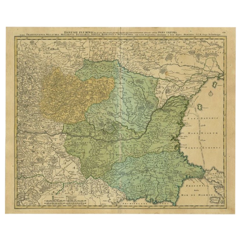
 - Antique Map of the Danube River by Homann, c.1720By Homann HeirsLocated in Langweer, NLAntique map titled 'Danubii Fluminis (..)'. Regional map of the Donau river, Shows the Danube river from Belgrade in Serbia, along the border between Roma...Category
Antique 18th Century Maps
MaterialsPaper
 $813 Sale Price20% Off
 - Antique Map of Vlaams-Brabant by Homann Heirs, c.1720By Homann HeirsLocated in Langweer, NLAntique map titled 'Ducatus Brabantiae Nova Tabula in qua (..).' Fully engraved copper plate map filled with details. Covers Flanders centered roughly on Ascot and delineating the wa...Category
Antique 18th Century Maps
MaterialsPaper
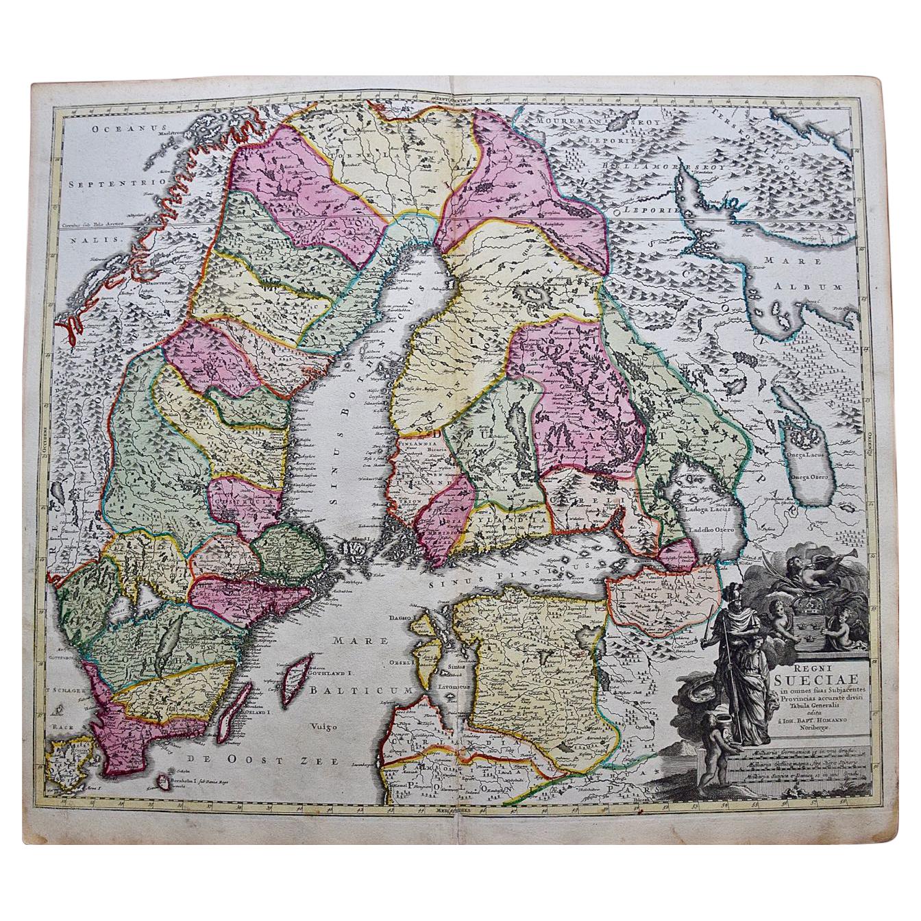
- Sweden & Adjacent Portions of Scandinavia: A Hand-Colored 18th C. Map by HomannBy Johann Baptist HomannLocated in Alamo, CAThis hand-colored map of Sweden and adjacent portions of Scandinavia entitled "Regni Sueciae in Omnes suas Subjacentes Provincias accurate divisi Tabula Generalis" was created by Joh...Category
Antique 1720s German Maps
MaterialsPaper


Recently Viewed
View AllMore Ways To Browse
Uruguay Antique Map
Nevada Antique Map
Arizona Map
Map Of Arizona
Panama Antique Map
Antique Iowa Map
Maltese Falcon
Map Of Dc
Map Of Iowa
Map Of Majorca
Metal Knight Statue
Antique Map Ontario
Antique Map Puzzle
Antique Maps Ontario
Antique Puerto Rico Map
Derbyshire Antique Map
Antique Furniture Oklahoma City
Antique Map Bermuda