Items Similar to Large 1884 Kiepert Map of Asian Ottoman Provinces – Anatolia, Syria, Mesopotamia

Want more images or videos?
Request additional images or videos from the seller
1 of 17
Large 1884 Kiepert Map of Asian Ottoman Provinces – Anatolia, Syria, Mesopotamia
$2,608.75
£1,939.42
€2,200
CA$3,615.25
A$4,030.31
CHF 2,101.97
MX$48,735.83
NOK 26,422.85
SEK 25,001.29
DKK 16,749.17
About the Item
1884 Kiepert Map of Asian Ottoman Provinces – Anatolia, Syria, Mesopotamia
This remarkable mid-19th-century folding map is titled “Nouvelle Carte générale des Provinces Asiatiques de l’Empire Ottoman”, produced in a French-language edition by Heinrich Kiepert in Berlin, dated 1884. Kiepert was one of the foremost German cartographers of his era, and his maps of the Near East are celebrated for their clarity, up-to-date scholarship, and reliance on travel records and military surveys ([University of Chicago Library).
The map vividly depicts the Asiatic provinces of the Ottoman Empire—Anatolia, Cyprus, Syria, Mesopotamia, Armenia, Kurdistan, and adjacent Persian borderlands. Key cities such as Constantinople, Smyrna, Aleppo, Damascus, Baghdad, and Mosul are finely marked. Detailed topographical features—mountains, rivers, deserts, and transportation routes—are meticulously drawn. Political divisions are neatly hand-colored, enriching the visual and historical value of the piece.
Condition:
Good. Dissected into panels and mounted on original linen as issued. Crisp hand-coloring remains, with some light age toning and minor wear at fold intersections, but sturdy paper and fully legible detail throughout.
Framing Tips:
This map is ideal for float-mounting to highlight the linen paneling and folds. A dark walnut or black frame with a subdued, sand-colored mat enhances contrast with the engraved detail and soft hand-coloring.
Technique: Engraving with original hand color, dissected and linen-mounted.
Maker: Heinrich Kiepert, Berlin, 1884
Collector’s Note:
Large-format wall maps by Kiepert are far scarcer than atlas-sheet editions. They were intended for government, diplomatic, and educational use, and their survival in good condition is uncommon. Collectors particularly prize these oversized editions for their visual impact and historical authority in documenting the Ottoman Near East during the late 19th century.
Heinrich Kiepert was renowned for producing scholarly and reliable cartography of the Ottoman Near East. His 1884 edition reflects updated geographical knowledge following late 19th-century explorations. Collectors prize this edition for its precision, elegance, and documentation of a geopolitically pivotal region at a fascinating historical moment.
- Dimensions:Height: 39.38 in (100 cm)Width: 64.18 in (163 cm)Depth: 0.08 in (2 mm)
- Materials and Techniques:
- Place of Origin:
- Period:
- Date of Manufacture:1884
- Condition:Good. Dissected into panels and mounted on original linen as issued. Crisp hand-coloring remains, with some light age toning and minor wear at fold intersections, but sturdy paper and fully legible detail throughout.
- Seller Location:Langweer, NL
- Reference Number:Seller: BG-138821stDibs: LU3054346393642
About the Seller
5.0
Recognized Seller
These prestigious sellers are industry leaders and represent the highest echelon for item quality and design.
Platinum Seller
Premium sellers with a 4.7+ rating and 24-hour response times
Established in 2009
1stDibs seller since 2017
2,589 sales on 1stDibs
Typical response time: <1 hour
- ShippingRetrieving quote...Shipping from: Langweer, Netherlands
- Return Policy
Authenticity Guarantee
In the unlikely event there’s an issue with an item’s authenticity, contact us within 1 year for a full refund. DetailsMoney-Back Guarantee
If your item is not as described, is damaged in transit, or does not arrive, contact us within 7 days for a full refund. Details24-Hour Cancellation
You have a 24-hour grace period in which to reconsider your purchase, with no questions asked.Vetted Professional Sellers
Our world-class sellers must adhere to strict standards for service and quality, maintaining the integrity of our listings.Price-Match Guarantee
If you find that a seller listed the same item for a lower price elsewhere, we’ll match it.Trusted Global Delivery
Our best-in-class carrier network provides specialized shipping options worldwide, including custom delivery.More From This Seller
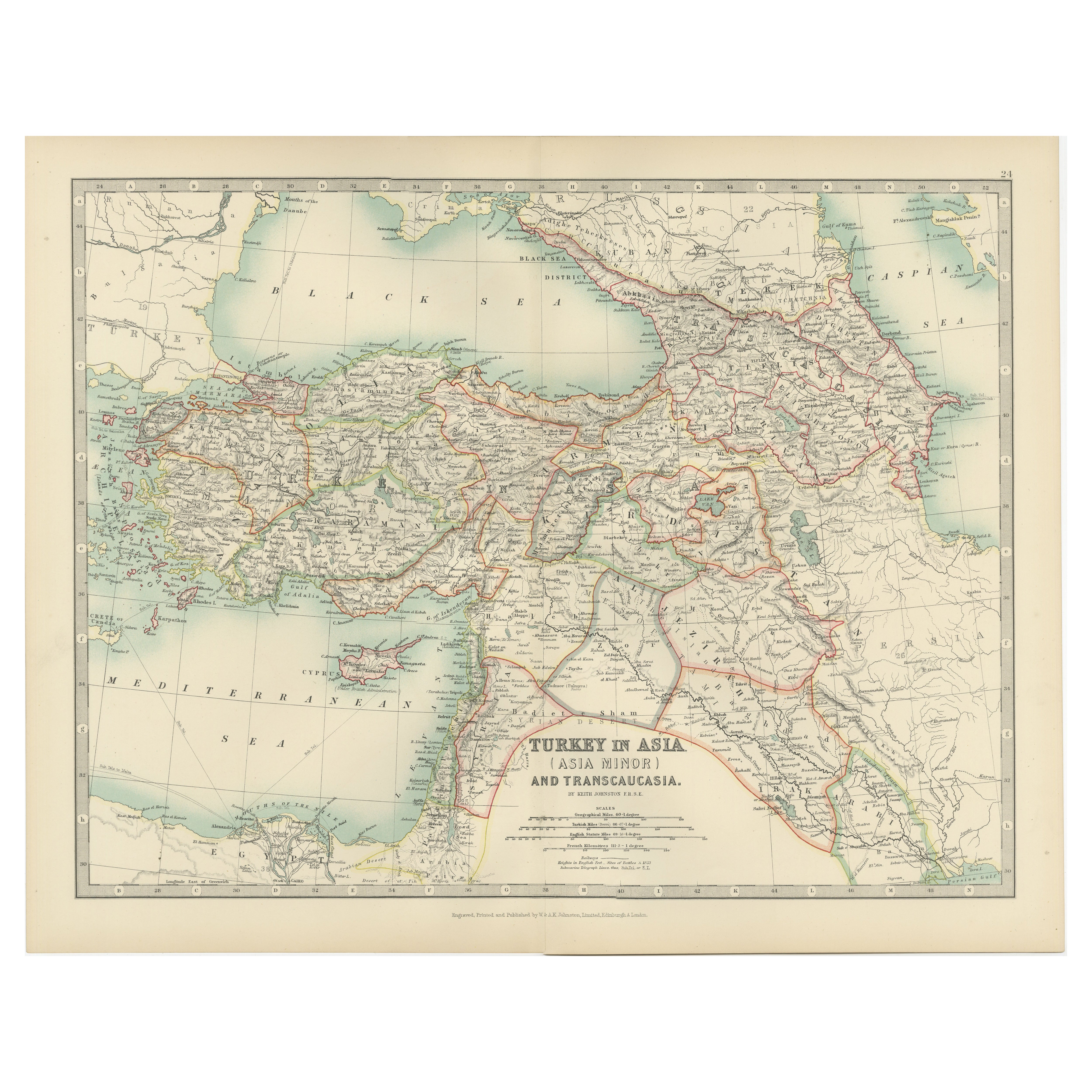
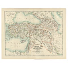
View AllAntique Map of Turkey in Asia (Asia Minor and Transcaucasia), 1903
Located in Langweer, NL
Antique Map of Turkey in Asia (Asia Minor and Transcaucasia), 1903, with Intricate Provincial Borders
This antique map, titled "Turkey in Asia (Asia Minor) and Transcaucasia," was e...
Category
Early 20th Century Maps
Materials
Paper
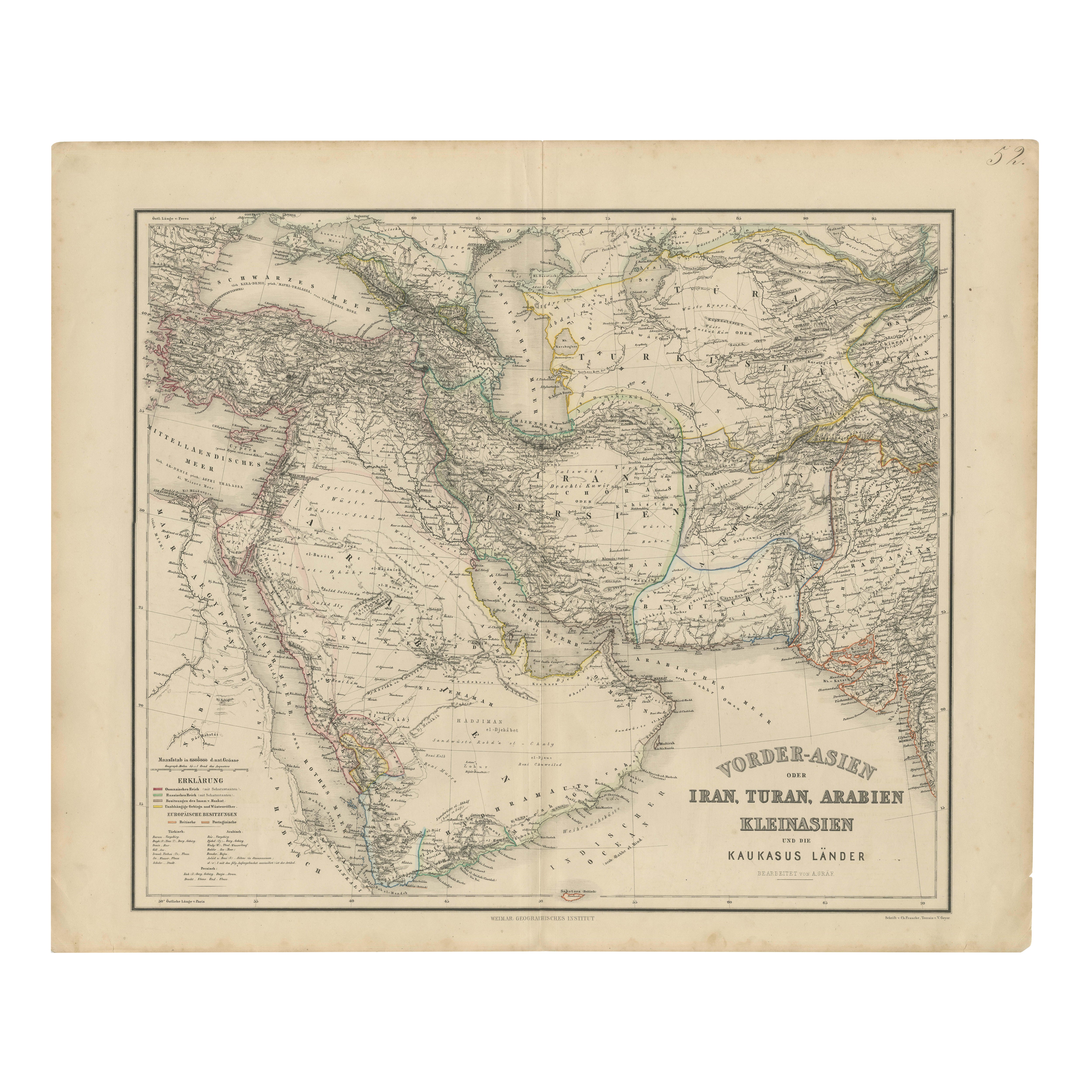
Map of Iran, Arabia, Asia Minor & Caucasus by Perthes, 1858
Located in Langweer, NL
Map of Iran, Arabia, Asia Minor & Caucasus by Perthes, 1858
This is a detailed engraved map titled Vorder-Asien oder Iran, Turan, Arabien, Kleinasien und die Kaukasus Länder, publis...
Category
Antique Mid-19th Century German Maps
Materials
Paper

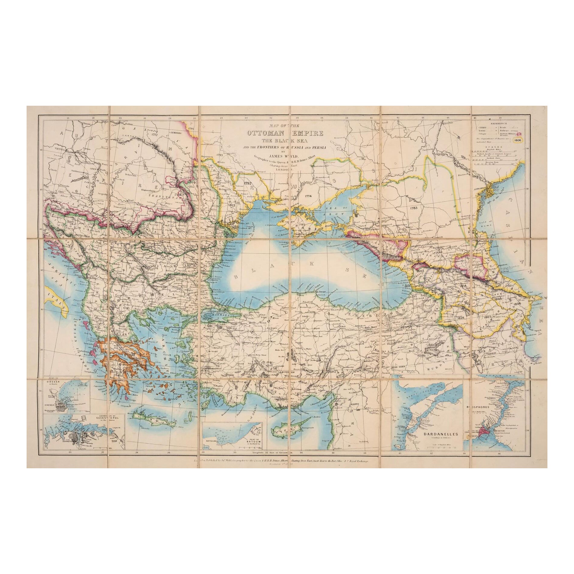
1853 Wyld Map of Turkey in Asia, the Balkans, and the Ottoman Empire
Located in Langweer, NL
James Wyld's 1853 Map of the Ottoman Empire and Adjacent Regions
James Wyld's 1853 map, "Map of the Ottoman Empire, The Black Sea and the Frontiers of Russia and Persia," offers a m...
Category
Antique 1850s English Maps
Materials
Paper

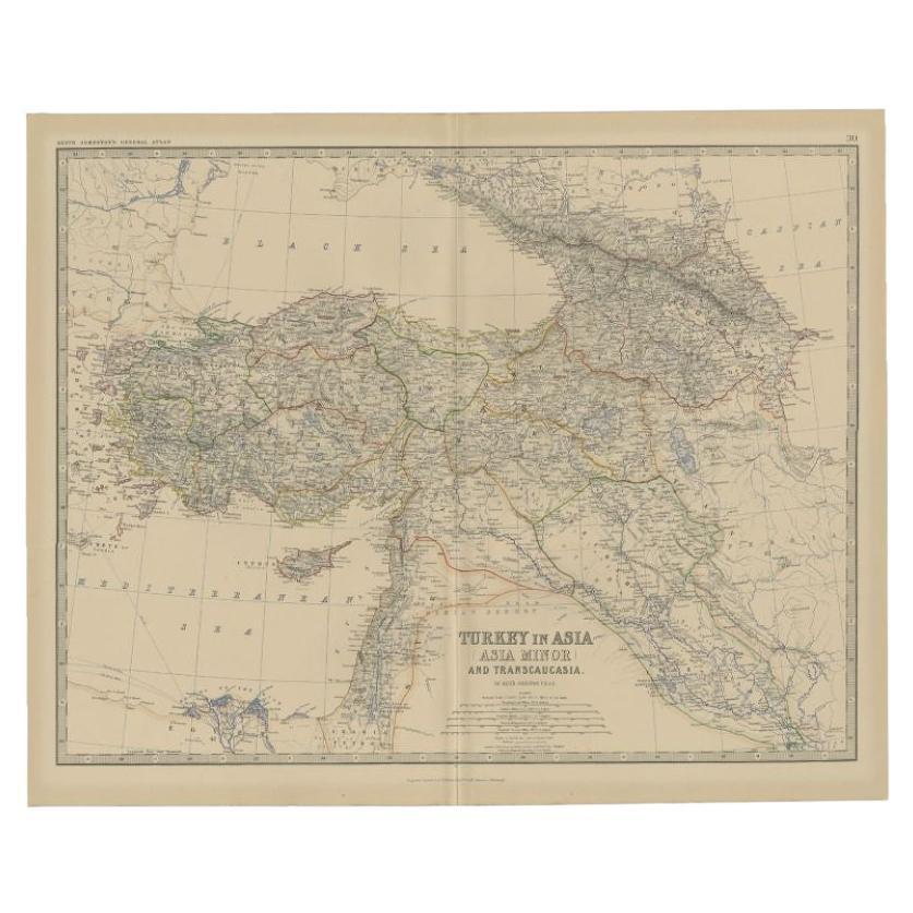
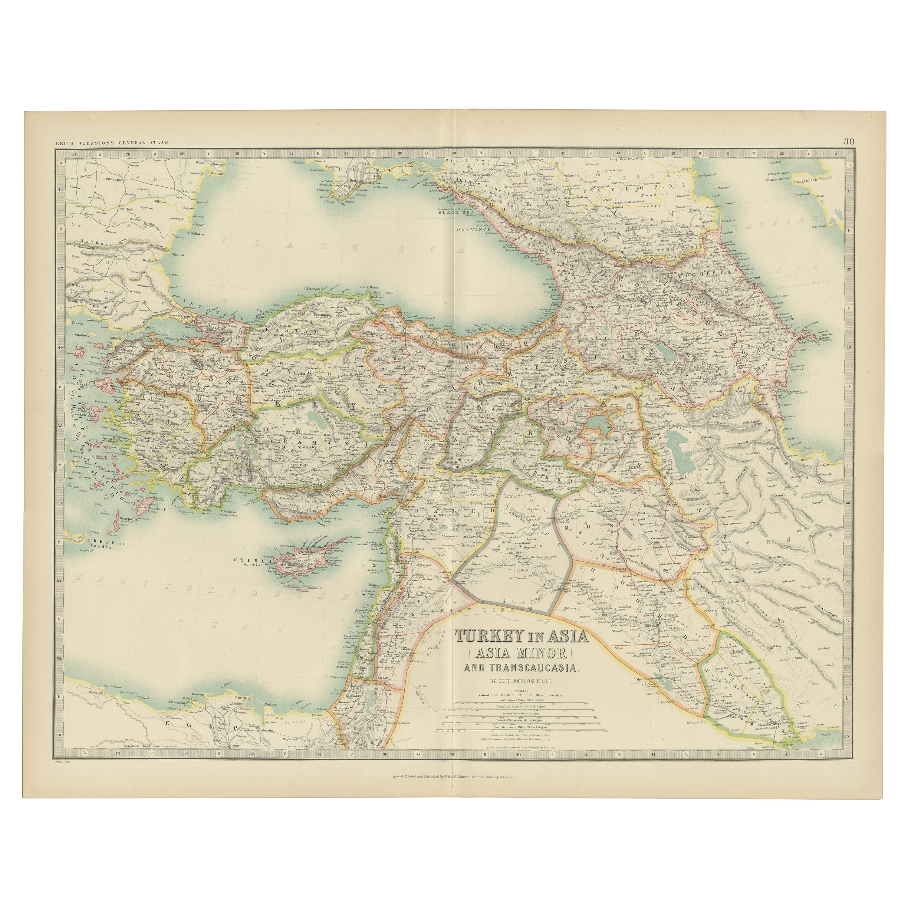
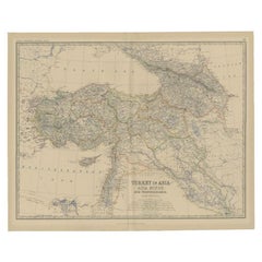
Antique Map of Turkey in Asia by Johnston, 1882
Located in Langweer, NL
Antique map titled 'Turkey in Asia (Asia Minor) and Transcaucasia'. Old map of Turkey in Asia (Asia Minor). This map originates from 'The Royal Atlas of Modern Geography, Exhibiting,...
Category
Antique 19th Century Maps
Materials
Paper
$369 Sale Price
20% Off
Turkey in Asia – Antique Ottoman Empire Map by John Tallis, ca. 1851
Located in Langweer, NL
Turkey in Asia – Antique Ottoman Empire Map by John Tallis, ca. 1851
This decorative 19th-century map titled "Turkey in Asia" was published by John Tallis & Company around 1851. Eng...
Category
Antique Mid-19th Century English Maps
Materials
Paper

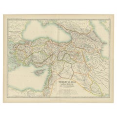
Antique Map of Turkey in Asia by Johnston '1909'
Located in Langweer, NL
Antique map titled 'Turkey Asia ( Asia Minor )'. Original antique map of Turkey in Asia. This map originates from the ‘Royal Atlas of Modern Geog...
Category
Early 20th Century Maps
Materials
Paper
$237 Sale Price
20% Off
You May Also Like
Large Original Antique Map of Afghanistan. Edward Weller, 1861
Located in St Annes, Lancashire
Great map of Afghanistan
Lithograph engraving by Edward Weller
Original colour
Published, 1861
Unframed
Good condition
Category
Antique 1860s English Victorian Maps
Materials
Paper

Circa 1825 original engraving of the map of Syria by Giraldon Bovinet
Located in PARIS, FR
The circa 1825 original engraving of "Syrie" by Giraldon Bovinet, based on the work of L. Vivien, is a historically significant map that reflects early 19th-century cartographic tech...
Category
1820s Prints and Multiples
Materials
Engraving, Paper

Map of Eastern Roman Empire -Vintage Offset Print - Early 20th Century
Located in Roma, IT
This map of Eastern Roman Empire is a vintage offset print realized in the early 20th Century.
The state of preservation of the artwork is aged with dif...
Category
Early 20th Century Figurative Prints
Materials
Offset

Large Original Antique Map of Cyprus. 1894
Located in St Annes, Lancashire
Superb Antique map of Cyprus
Published Edward Stanford, Charing Cross, London 1894
Original colour
Good condition
Unframed.
Free shipping
Category
Antique 1890s English Maps
Materials
Paper

Original Antique Map of Ancient Greece, Achaia, Corinth, 1786
Located in St Annes, Lancashire
Great map of Ancient Greece. Showing the region of Thessaly, including Mount Olympus
Drawn by J.D. Barbie Du Bocage
Copper plate engraving by P.F Tardieu
Original hand color...
Category
Antique 1780s French Other Maps
Materials
Paper

Map of the Holy Land "Carte de la Syrie et de l'Egypte" by Pierre Lapie
By Pierre M. Lapie
Located in Alamo, CA
This is an early 19th century map of ancient Syria and Egypt entitled "Carte de la Syrie et de l'Egypte anciennes/dressée par M. Lapie, Colonel d'Etat M...
Category
1830s Landscape Prints
Materials
Engraving
