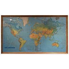
Large Vintage Air France Route Map in Gilded Frame, Signed Massó
View Similar Items
Want more images or videos?
Request additional images or videos from the seller
1 of 10
Large Vintage Air France Route Map in Gilded Frame, Signed Massó
About the Item
- Dimensions:Height: 47.5 in (120.65 cm)Width: 82.5 in (209.55 cm)Depth: 2 in (5.08 cm)
- Place of Origin:
- Period:
- Date of Manufacture:Second half of the 20th Centry
- Condition:Wear consistent with age and use. Minor structural damages. some losses to gilded frame, small folds in print, minor darker areas.
- Seller Location:Atlanta, GA
- Reference Number:Seller: R62581stDibs: LU82704274043
About the Seller
5.0
Vetted Seller
These experienced sellers undergo a comprehensive evaluation by our team of in-house experts.
Established in 1993
1stDibs seller since 2007
258 sales on 1stDibs
Typical response time: 1 hour
More From This SellerView All
- 17th Century Lithograph Framed Map of SpainLocated in Atlanta, GAIn giltwood frame, dated 1652.Category
Antique 18th Century and Earlier Spanish Baroque Prints
MaterialsInk, Paper
- Italian Large Engraving of Romulus & Remus, Ebonized Frame, 2nd Half 19th CenLocated in Atlanta, GAIn Roman mythology, Romulus and Remus are twin brothers whose story tells of the events that led to the founding of the city of Rome and the Roman Kingdom by Romulus, following his f...Category
Antique 19th Century Italian Prints
MaterialsPaper
- Mid-18th Century Engraving in a Mid-19th Century Giltwood FrameLocated in Atlanta, GAdisplaying a king or nobleman seated on a throneCategory
Antique Early 18th Century French Louis XIV Prints
- French Significantly Large & Expertly Carved Walnut Cow Head, 2nd half 19th cen.Located in Atlanta, GAThe size of this carved head and the detail of the carving accompanied by the size of the horns makes this wall sculpture remarkable, likely made for a boucherie as an advertisement, the horns joined to the head by a wood putty and colored to match, mounted by a slightly hollowed cut in the rear with an iron crossbar, mounts flush...Category
Antique 1860s French Taxidermy
MaterialsHorn, Walnut
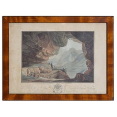
- French Neoclassic Engraving, Vue de La Caverne du Dragon, early 19th centuryLocated in Atlanta, GAThe hand colored engraving by Descourtis depicting a true cave in the Orange region of France with curious admirers with a dog and a soldier, in a period walnut and ebonized frameCategory
Antique Early 1800s French Neoclassical Prints
MaterialsWalnut
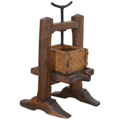
- French Wooden and Iron Cheese Press, circa 1900Located in Atlanta, GAHaving a double trestle base and a threaded press, the surface with a raised edge and a drain spout.Category
Antique Early 1900s French Scientific Instruments


You May Also Like
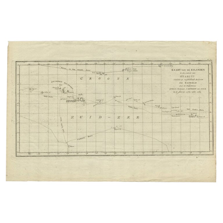
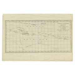
- Antique Map of French Polynesia by Cook Showing His Route, 1803Located in Langweer, NLAntique map Tahiti titled 'Kaart van de Eilanden in den omtrek van Otahiti (..)'. Antique map of French Polynesia with the tracks around the island of Tahiti by Captain Byron, Wallis...Category
Antique 19th Century Maps
MaterialsPaper
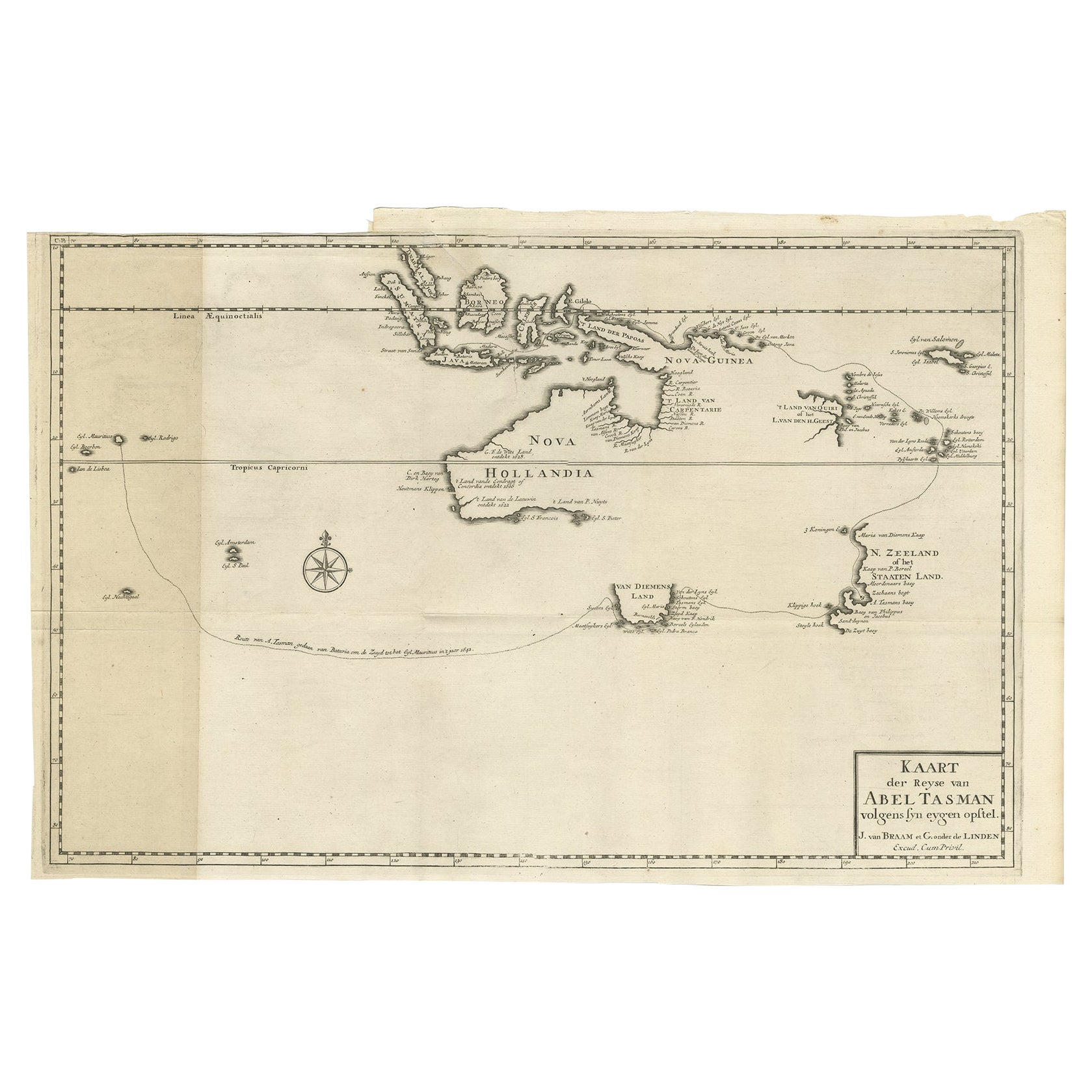
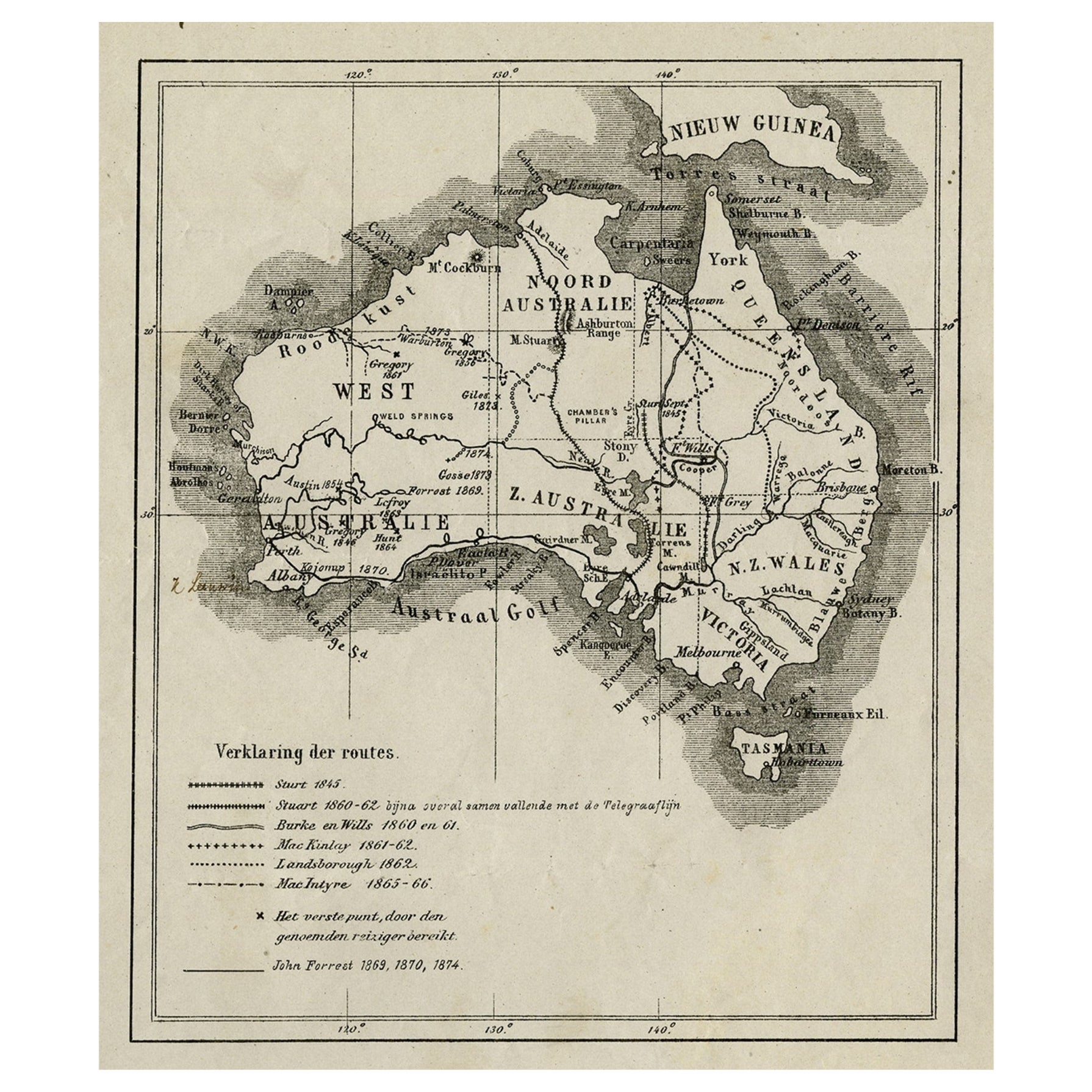
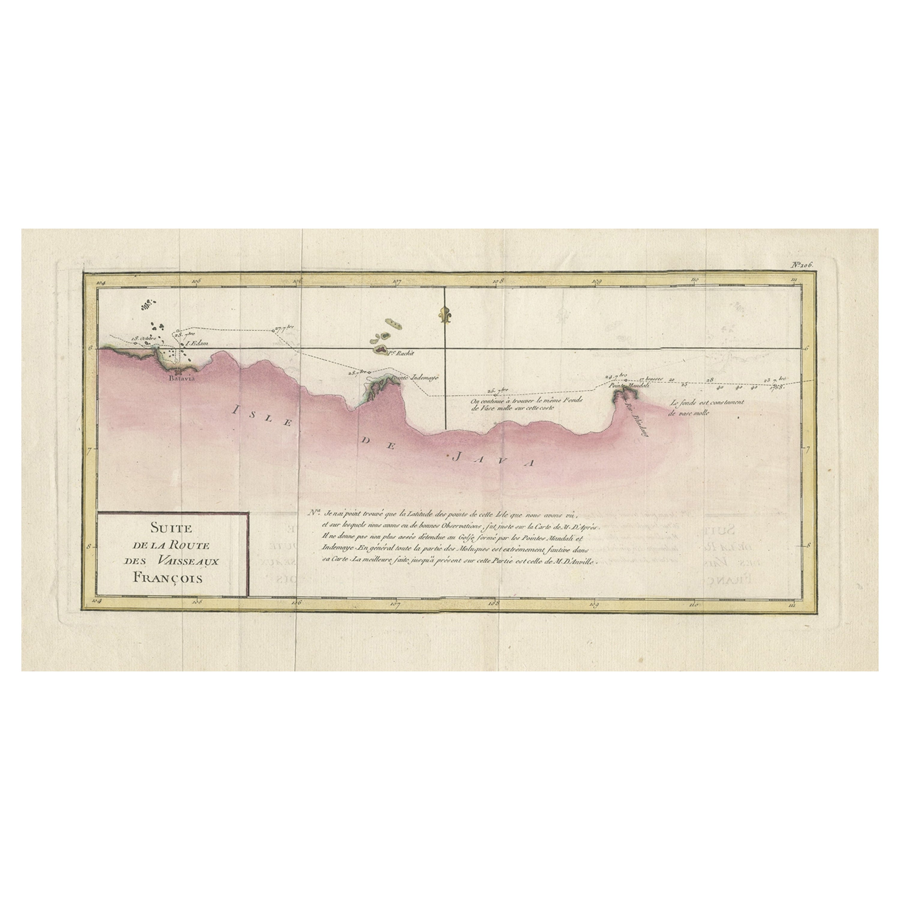
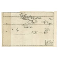
- Early Map of Australasia, Marking The Route of Abel Tasman in 1642 'Publ. 1726'Located in Langweer, NLDescription: Antique map titled 'Kaart der Reyse van Abel Tasman volgens syn eygen opstel'. Rare and early map of Australasia, marking the route of Abel Tasman's voyage from Mauritius to Batavia in 1642, on which he discovered Tasmania and New Zealand and proved that Australia was not part of the Great Southern...Category
Antique 1720s Maps
MaterialsPaper
 $5,587 Sale Price40% Off
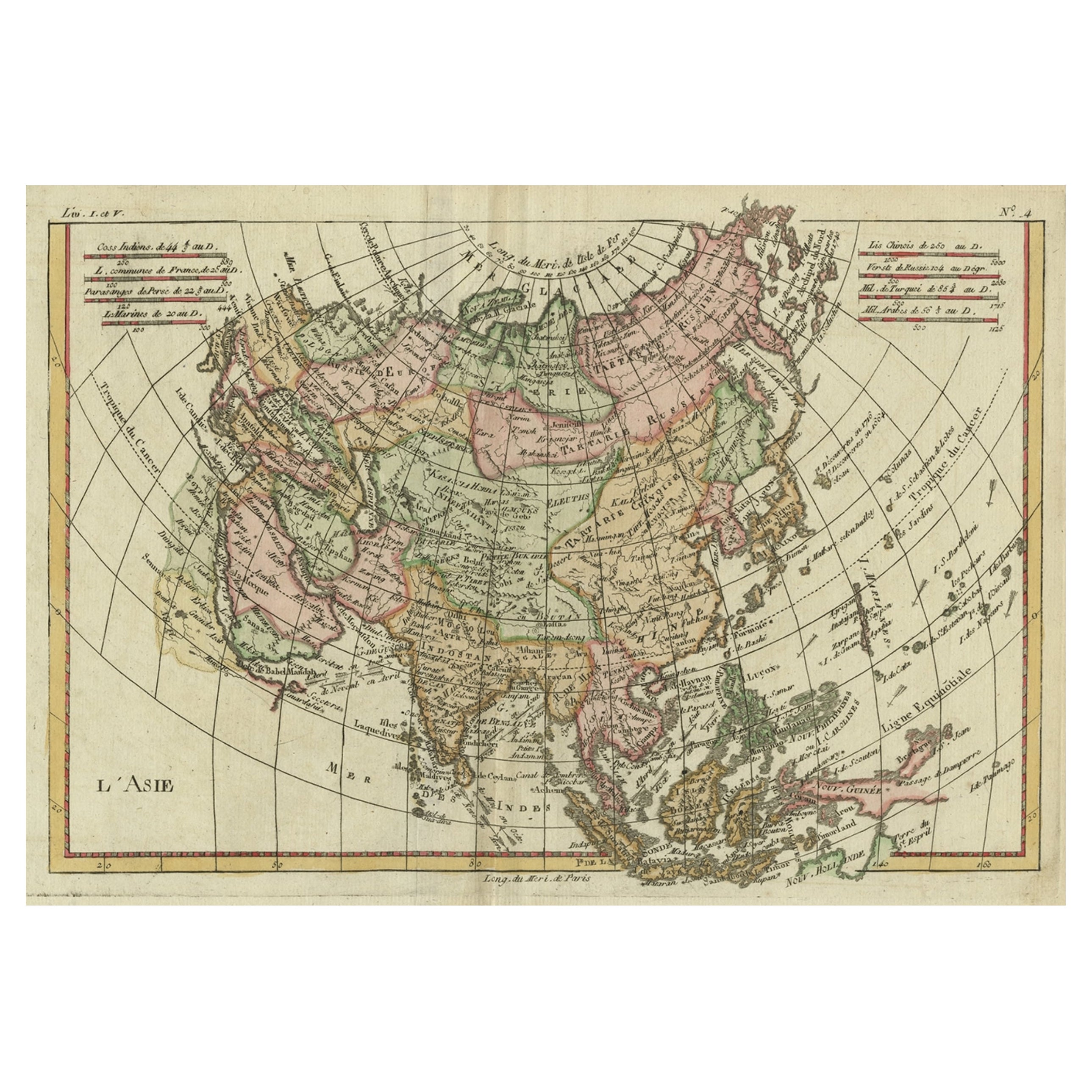
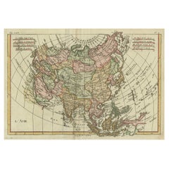
 - Antique Map of Asia, Showing Tradewinds, Silke Route Cities Etc, c.1780Located in Langweer, NLAntique map titled 'L'Asie.' Map of Asia. Offers considerable detail considering the size, showing the tradewinds in the Pacific and Indian Oceans as well as numerous Silk Route citi...Category
Antique 18th Century Maps
MaterialsPaper
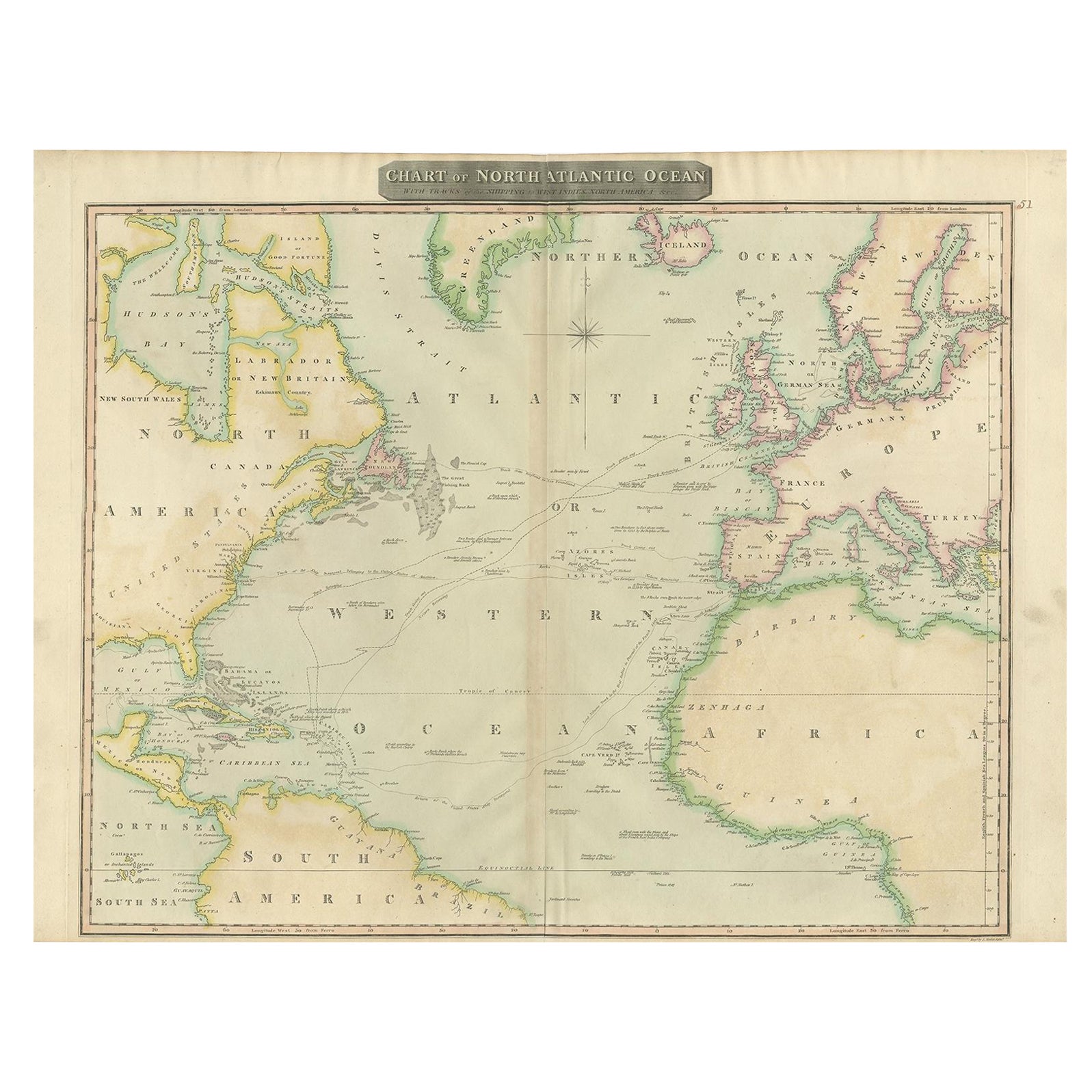
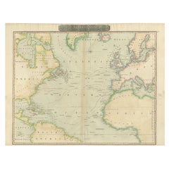
- Interesting Map of the Atlantic Showing Nelson's and Trade Routes, 1817By John ThomsonLocated in Langweer, NLAntique map titled 'Chart of the North Atlantic Ocean with Tracks of the Shipping to West Indies, North America, &cc'. Large map of the Atlantic, showing the tracks of the ships trad...Category
Antique 19th Century Maps
MaterialsPaper
 $482 Sale Price20% OffFree Shipping
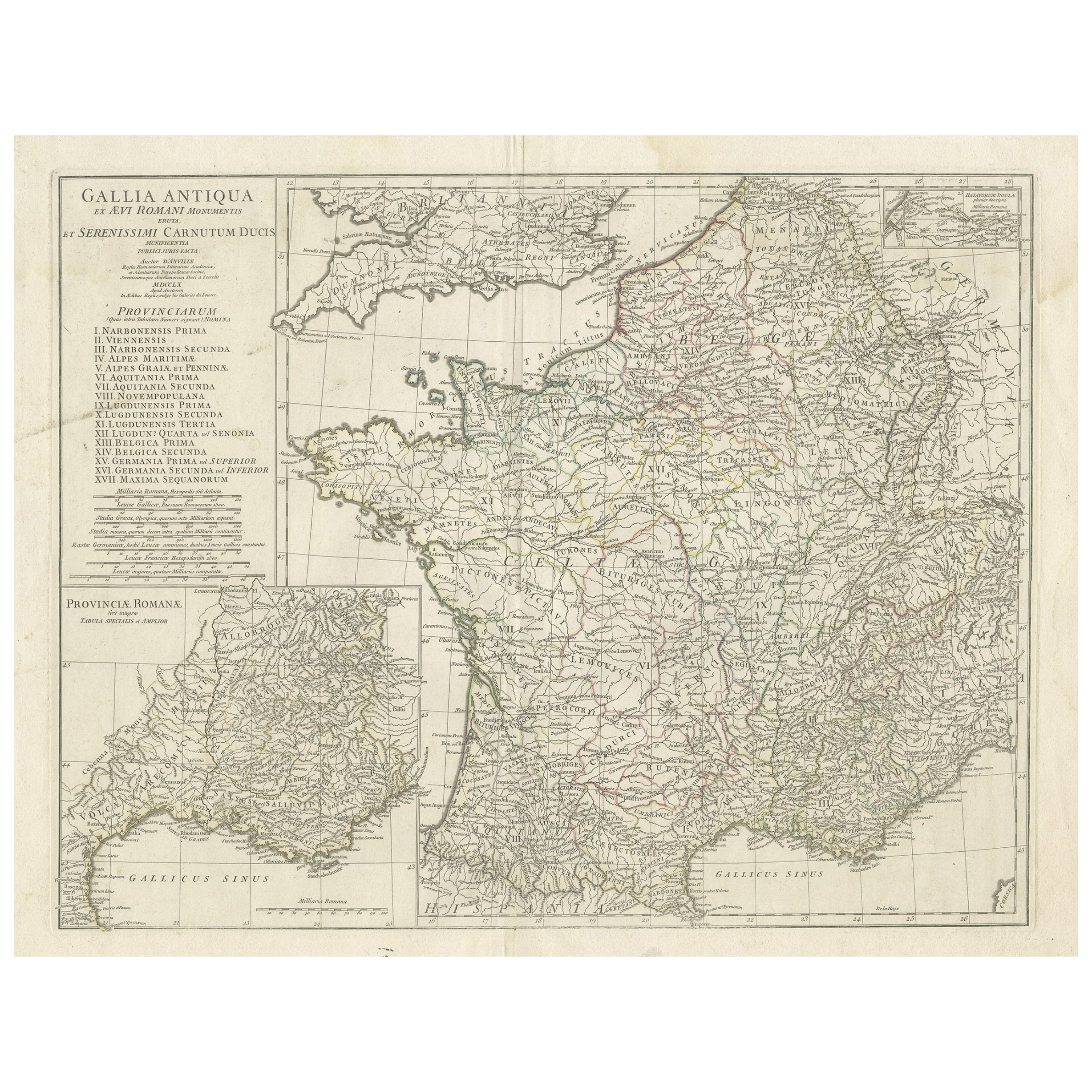
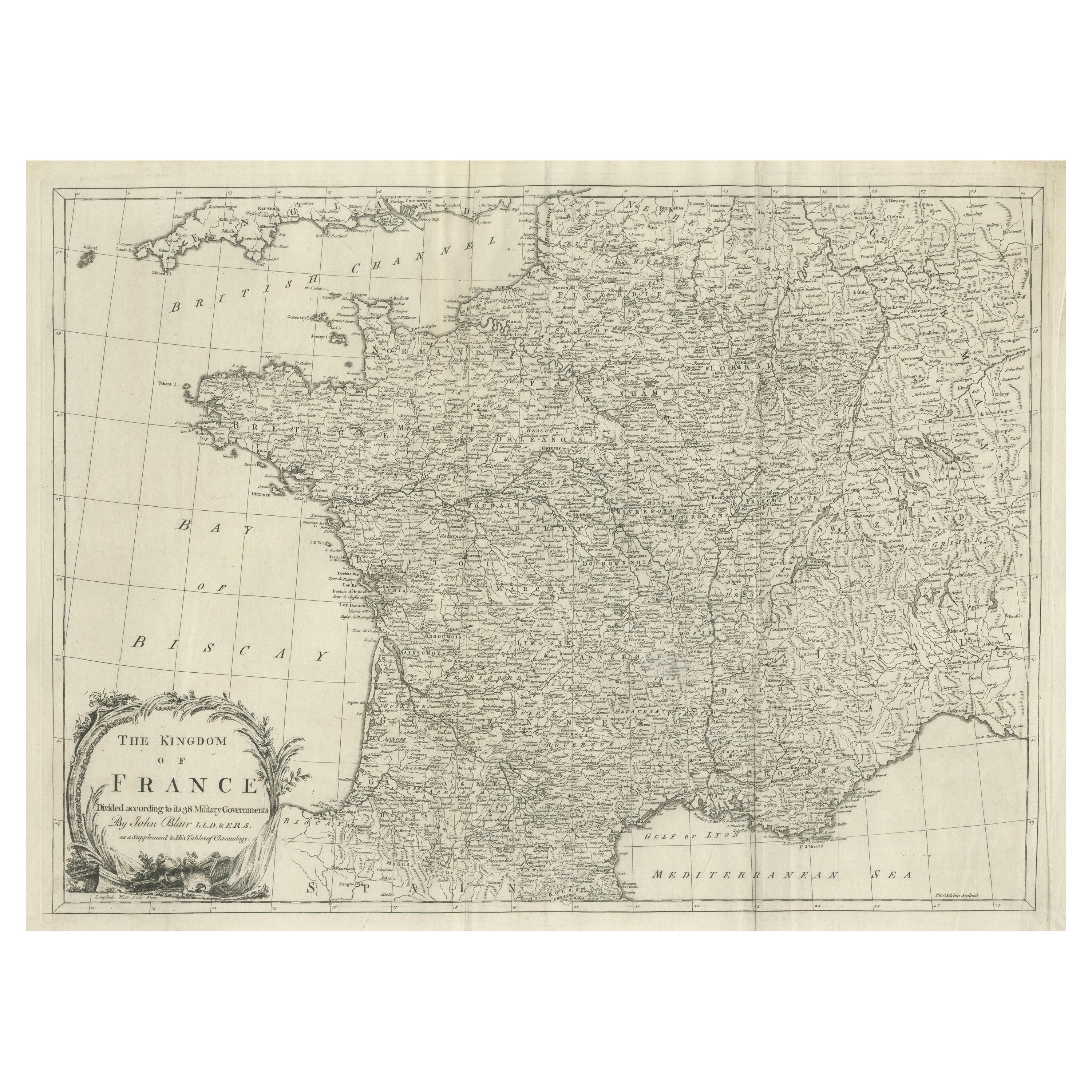
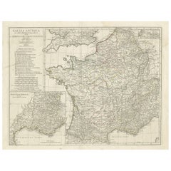
 - Large Antique Map of Gaul, or France in Ancient Roman TimesLocated in Langweer, NLOriginal antique map titled 'Gallia Antiqua ex Aevi Romani Monumentis (..)'. Large map of Gaul, or France in ancient Roman times, showing Roman provinces. Inset bottom left a detaile...Category
Antique Mid-18th Century Maps
MaterialsPaper
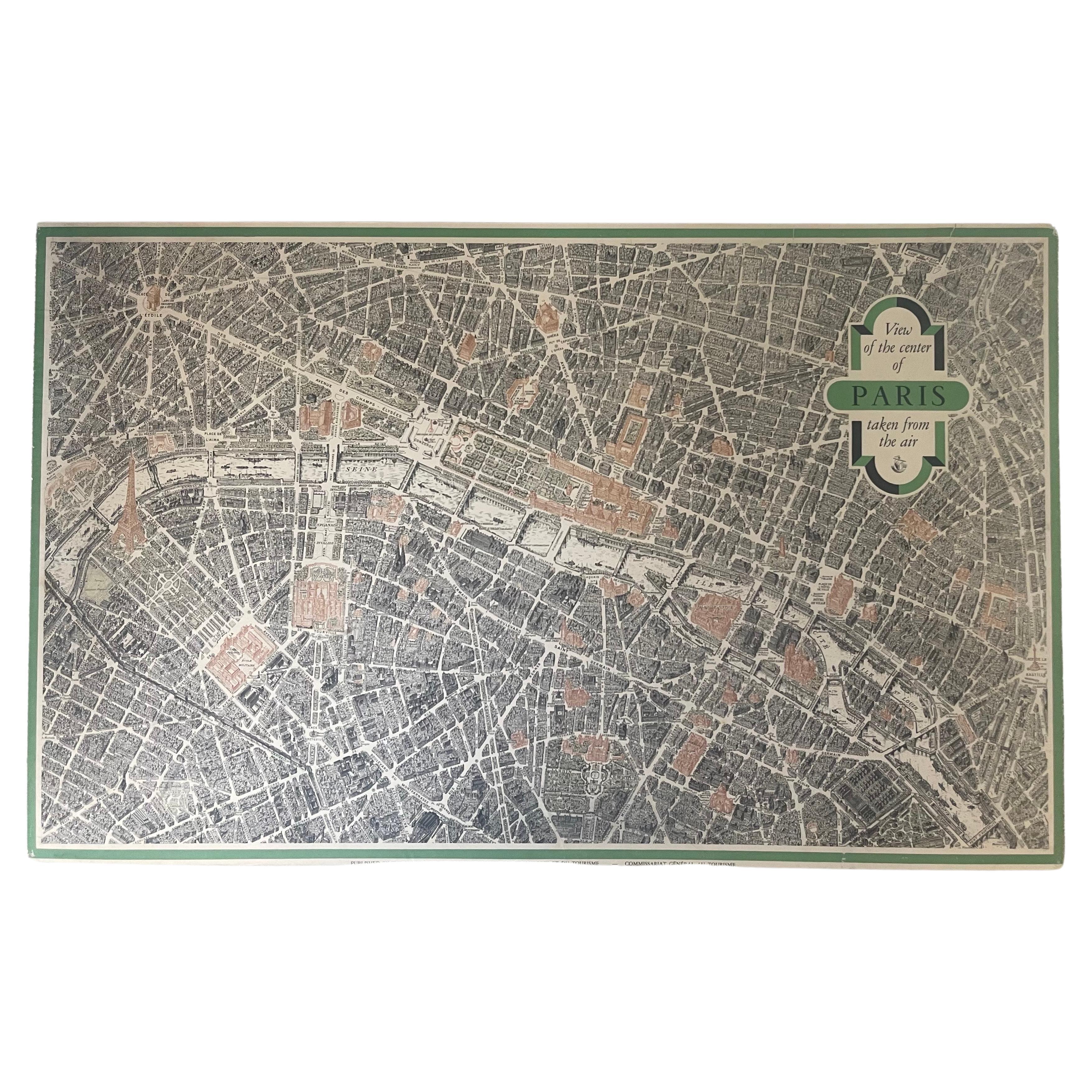
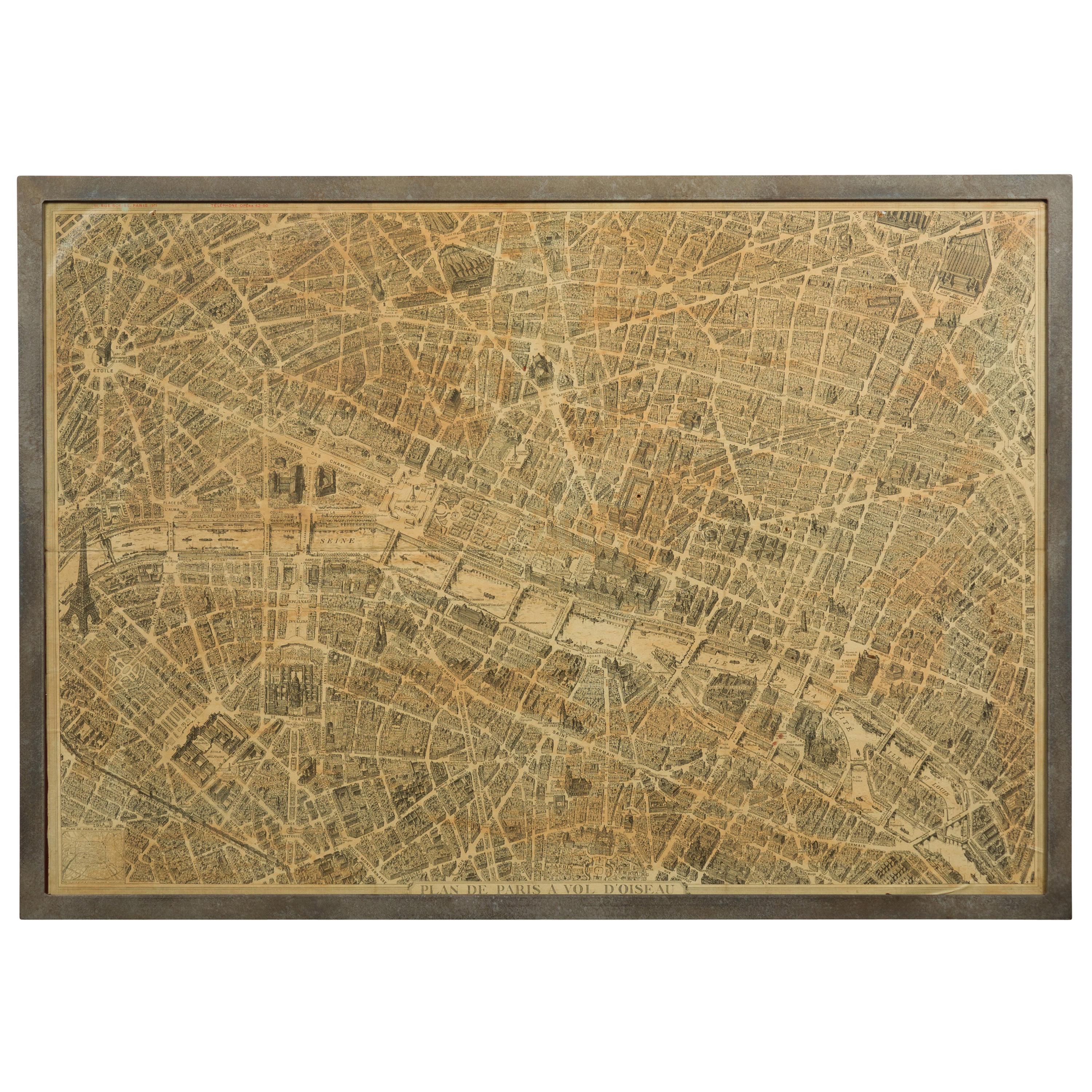
- Vintage "View of the Center of Paris Taken from the Air" Lithograph MapLocated in San Diego, CAA very stylish "View of the Center of Paris Taken from the Air" lithograph map published by the Paris Ministry of Tourism, circa early 1950s. The piece measures 27" x 43" and shows...Category
20th Century French Mid-Century Modern Prints
MaterialsPaper

Recently Viewed
View AllMore Ways To Browse
Air France Map
Vintage Map Framed
Framed Vintage Maps
Vintage Glass Map
Air France Map Vintage
Atlas China
Antique Maps Wales
Antique Map Wales
Antique Furniture South East London
Antique Map Of Wales
Antique Maps Of Wales
Antique Island Caribbean
Teak Sphere
Atlas Stand
17th Century Italian Map
17th Century Italy Map
Antique Battle Maps
Antique Us Maps