Items Similar to Old 18th Century Composite Map of Key Caribbean Islands with Descriptive Texts

Want more images or videos?
Request additional images or videos from the seller
1 of 8
Old 18th Century Composite Map of Key Caribbean Islands with Descriptive Texts
About the Item
Antique map titled 'Dominia Anglorum in praecipuis Insulis Americae ut sunt Insula S. Christophori, Antegoa, Iamaica, Barbados nec non Insulae Bermudes vel Sommers dictae. Die Englische Colonie-Länder Auf den Insuln von America und zwar die Insuln S. Christophori, Antegoa, Iamaica, Barbados samt den Ins. Bermudes sonst Sommers genannt'.
Beautiful map of the British possessions in the Caribbean. Shows the islands of Saint Christopher or Saint Kitts, Antigua, Bermuda, Barbados, and Jamaica.
This is an elaborate composite map featuring several islands of the Caribbean, each framed within its own colored border and accompanied by descriptive text. The map includes the islands of St. Kitts, Antigua, Barbados, Bermuda, and Jamaica, each meticulously detailed with topographical features, parish borders, and notable settlements.
A prominent feature of this map is the extensive textual descriptions and tables accompanying each island, providing insights into the colonial administration, economic resources, and demographic information of the time. The maps are adorned with ornamental cartouches, which was a common stylistic element of maps from this era, showcasing the artistic flair of the cartographer.
The map is from the 18th century, as you can see by the style of the cartouches and the typography used in the descriptions. The hand coloring on each map is still vibrant, indicating careful preservation. The paper shows signs of age but with all text and cartographic details remaining legible.
Artists and Engravers: Following the long period of Dutch domination, the Homann family became the most important map publishers in Germany in the eighteenth century, the business being founded by J.B. Homann in Nuremberg about the year 1702. Soon after publishing his first atlas in 1707 he became a member of the Berlin academy of Sciences and in 1715 he was appointed Geographer to the Emperor. After the founder's death in 1724, the firm was continued under the direction of his son until 1730 and was then bequeathed to his heirs on the condition that it trades under the name of Homann Heirs. The firm remained in being until the next century and had a wide influence on map publishing in Germany.
- Dimensions:Height: 21.26 in (54 cm)Width: 24.22 in (61.5 cm)Depth: 0 in (0.02 mm)
- Materials and Techniques:
- Period:1740-1749
- Date of Manufacture:circa 1745
- Condition:Condition: Good, two small pieces of tape on the reverse. General age-related toning, a few stains and small tears outside the plate mark or image. Please study image carefully. Vibrant colors.
- Seller Location:Langweer, NL
- Reference Number:
About the Seller
5.0
Platinum Seller
These expertly vetted sellers are 1stDibs' most experienced sellers and are rated highest by our customers.
Established in 2009
1stDibs seller since 2017
1,922 sales on 1stDibs
Typical response time: <1 hour
- ShippingRetrieving quote...Ships From: Langweer, Netherlands
- Return PolicyA return for this item may be initiated within 14 days of delivery.
More From This SellerView All
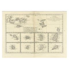
- Detailed Antique Map of the Windward Islands in the CaribbeanBy Covens & MortierLocated in Langweer, NLAntique map titled 'Carte des Antilles Francoises et des Isles Voisines'. Original antique map of the French Antilles, covering an area stretching from Guadeloupe in the north to Gre...Category
Antique Early 18th Century Maps
MaterialsPaper
- 18th Century Antique Map of the Virgin Islands and Caribbean Inset MapsLocated in Langweer, NLA fascinating piece of cartographic history! The map, titled "Carte du supplément pour les Isles Antilles," featuring inset maps of various islands in the Caribbean, is from the "Atl...Category
Antique Late 18th Century Maps
MaterialsPaper
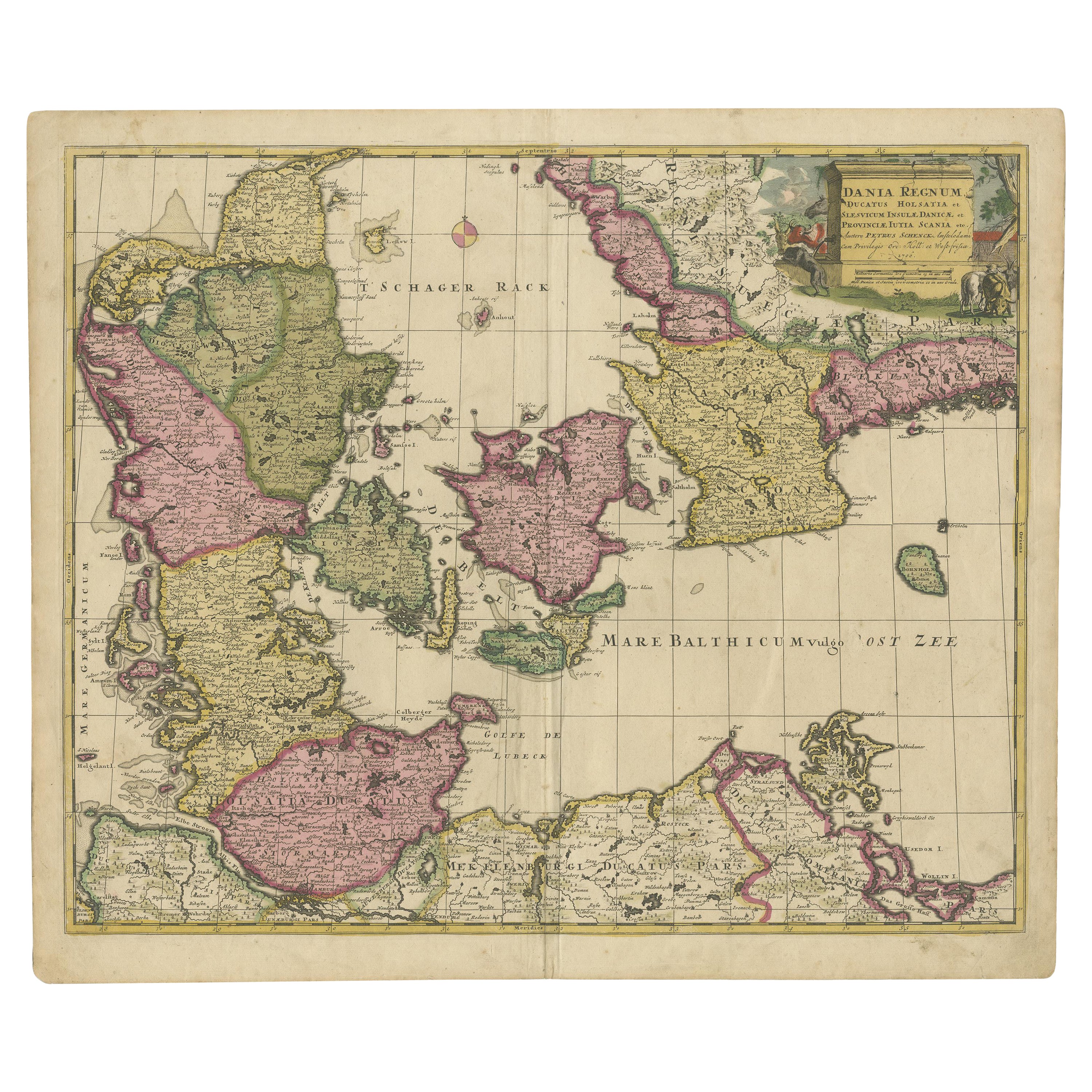
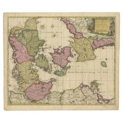
- Early 18th Century Map of Denmark in Old Coloring, Published in 1706Located in Langweer, NLDenmark. Schenk (Petrus), Dania Regnum Ducatus Holsatia. et Slesvicum Insulae Danicae et Provinciae Jutia Scania etc. Amsterdam, 1706, engraved reticulated map on thick paper with co...Category
Antique Early 1700s Maps
MaterialsPaper
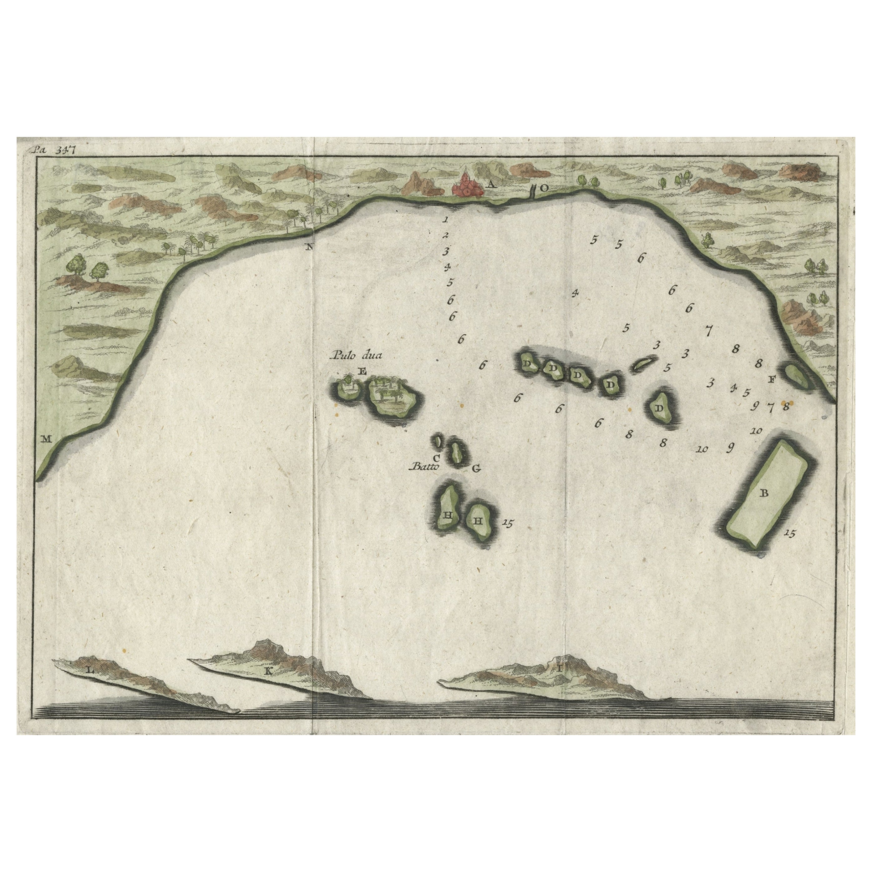
- Small Early 18th Century Map of Banten Bay on the Island Java, Indonesia, c.1725Located in Langweer, NLA small early 18th century map of Banten Bay showing the islands of Pulo Dua and Pulo Batto together with soundings within the Bay and profiles of hills on the islands published by C...Category
Antique 1720s Maps
MaterialsPaper
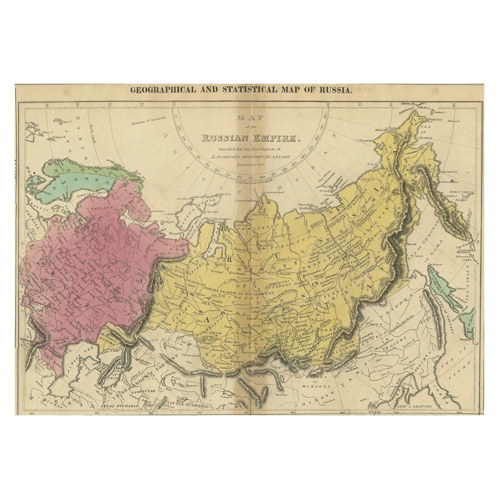
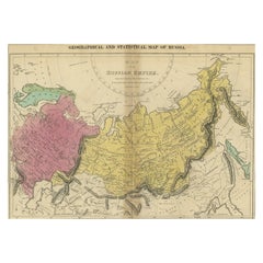
- Old Map of the Russian Empire, with English Language Text, Ca.1820Located in Langweer, NLAntique map titled 'Geographical, Statistical and Historical Map of Russia'. Old map of the Russian Empire, encompassed on three sides by English language text. Originates from L...Category
Antique 1820s Maps
MaterialsPaper
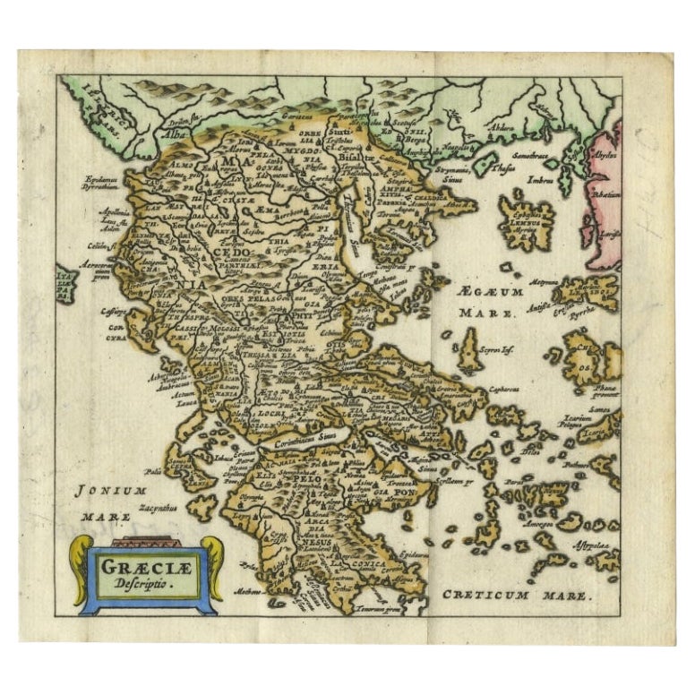
- Charming 18th Century Miniature Map of Greece, 1685Located in Langweer, NLAntique map titled 'Graeciae Descriptio.' Charming miniature map of Greece from the pocket atlas 'Introductionis in Universam Geographiam tam Veterem qu...Category
Antique 17th Century Maps
MaterialsPaper


You May Also Like
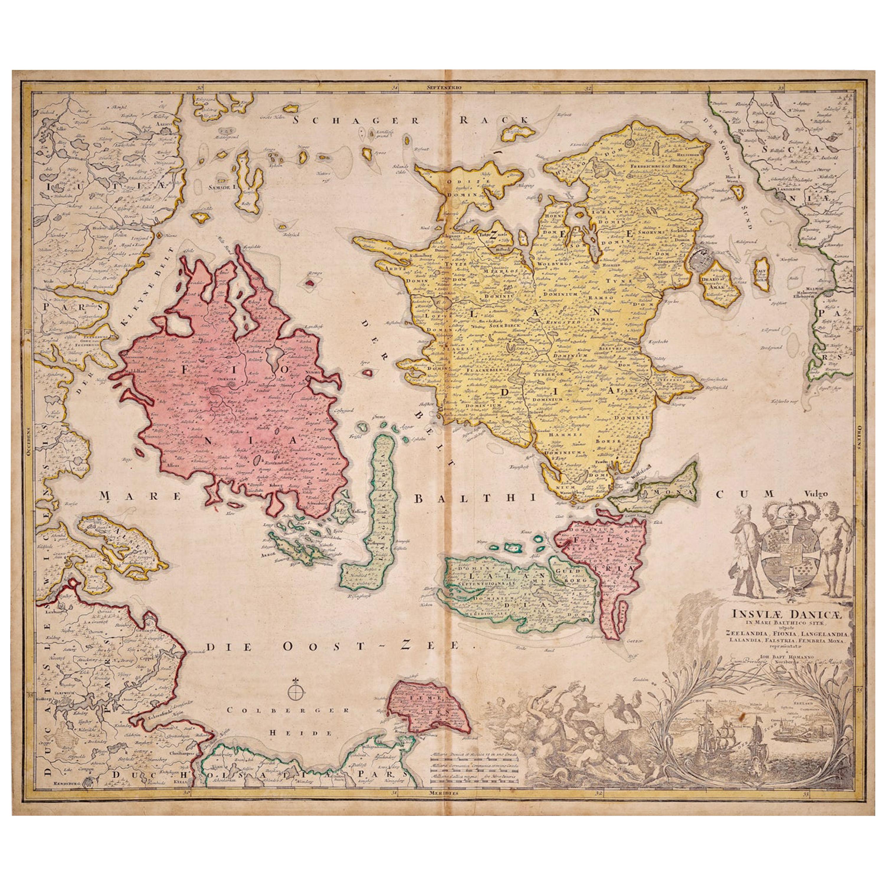
- Hand-Colored 18th Century Homann Map of Denmark and Islands in the Baltic SeaBy Johann Baptist HomannLocated in Alamo, CAAn 18th century copper plate hand-colored map entitled "Insulae Danicae in Mari Balthico Sitae utpote Zeelandia, Fionia, Langelandia, Lalandia, Falstria, Fembria Mona" created by Joh...Category
Antique Early 18th Century German Maps
MaterialsPaper
- St. Christophe 'St. Kitts' Island: An 18th Century Hand-colored Map by BellinBy Jacques-Nicolas BellinLocated in Alamo, CAJacques Bellin's copper-plate map of the Caribbean island of Saint Kitts entitled "Carte De De l'Isle St. Christophe Pour servir á l'Histoire Genle. des V...Category
Antique Mid-18th Century French Maps
MaterialsPaper
- Antique 18th Century Map of the Province of Pensilvania 'Pennsylvania State'Located in Philadelphia, PAA fine antique of the colony of Pennsylvania. Noted at the top of the sheet as a 'Map of the province of Pensilvania'. This undated and anonymous map is thought to be from the Gentleman's Magazine, London, circa 1775, although the general appearance could date it to the 1760's. The southern boundary reflects the Mason-Dixon survey (1768), the western boundary is placed just west of Pittsburgh, and the northern boundary is not marked. The map has a number of reference points that likely refer to companion text and appear to be connected to boundaries. The western and southern boundaries are marked Q, R, S, for example. A diagonal line runs from the Susquehanna R to the Lake Erie P. A broken line marked by many letters A, B, N, O, etc., appears in the east. There are no latitude or longitude markings, blank verso. Framed in a shaped contemporary gilt wooden frame and matted under a cream colored matte. Bearing an old Graham Arader Gallery...Category
Antique 18th Century British American Colonial Maps
MaterialsPaper
- Scandinavia & Portions of Eastern Europe: 18th Century Hand-Colored Homann MapBy Johann Baptist HomannLocated in Alamo, CAAn early 18th century hand-colored copper-plate map entitled "Regni Sueciae in omnes suas Subjacentes Provincias accurate divisi Tabula Generalis" by Johann Baptist Homann (1663-1724...Category
Antique Early 18th Century German Maps
MaterialsPaper
- 18th Century Hand Colored Map of Spain and Portugal by VisscherBy Nicolaes Visscher IILocated in Alamo, CAThis is an early 18th century map of Spain and Portugal, with attractive original hand-coloring, entitled "Hispaniae et Portugalliae Regna per Nicolaum Visscher cum Privilegio Ordinu...Category
Antique Early 18th Century Dutch Maps
MaterialsPaper
- 18th Century Hand-Colored Homann Map of Germany, Including Frankfurt and BerlinBy Johann Baptist HomannLocated in Alamo, CAAn 18th century hand-colored map entitled "Tabula Marchionatus Brandenburgici et Ducatus Pomeraniae quae sunt Pars Septentrionalis Circuli Saxoniae Superioris" by Johann Baptist Homa...Category
Antique Early 18th Century German Maps
MaterialsPaper


Recently Viewed
View AllMore Ways To Browse
18th Century Revolutionary
Wenceslas Hollar
Bad Bentheim
English County Maps By Blaeu
Von Meer
Minature Map
Anguilla Map
James Calvert Smith
Montenegro Antique Map
Mozambique Antique Map
Nottinghamshire Antique Map
Panama Antique Map
Wisconsin Map
Antique Map Sydney
Historical Balkan Map
Map Of Majorca
Yorkshire Ridings Map
Antique Map Dordogne