Items Similar to Old Map of the Russian Empire, with English Language Text, Ca.1820


Want more images or videos?
Request additional images or videos from the seller
1 of 5
Old Map of the Russian Empire, with English Language Text, Ca.1820
About the Item
Antique map titled 'Geographical, Statistical and Historical Map of Russia'.
Old map of the Russian Empire, encompassed on three sides by English language text. Originates from Lavoisne's 'Genealogical, Historical, Chronological & Geographical Atlas'.
Artists and engravers: Anonymous.
- Dimensions:Height: 17.72 in (45 cm)Width: 21.86 in (55.5 cm)Depth: 0 in (0.02 mm)
- Materials and Techniques:
- Period:
- Date of Manufacture:circa 1820
- Condition:Condition: Good, some toning. Split on folding line, please study image carefully.
- Seller Location:Langweer, NL
- Reference Number:
About the Seller
5.0
Platinum Seller
These expertly vetted sellers are 1stDibs' most experienced sellers and are rated highest by our customers.
Established in 2009
1stDibs seller since 2017
1,922 sales on 1stDibs
Typical response time: <1 hour
- ShippingRetrieving quote...Ships From: Langweer, Netherlands
- Return PolicyA return for this item may be initiated within 14 days of delivery.
More From This SellerView All
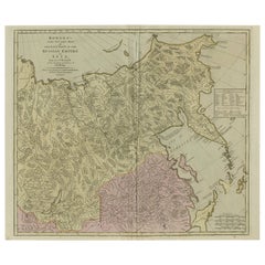
- Antique Map of the Russian Empire in Europe, ca.1780Located in Langweer, NLDescription: Antique map titled 'Bowles's New Pocket Map of the Russian Empire in Europe, Comprehending the West Part of the Empire in Asia' Large and detai...Category
Antique 1780s Maps
MaterialsPaper
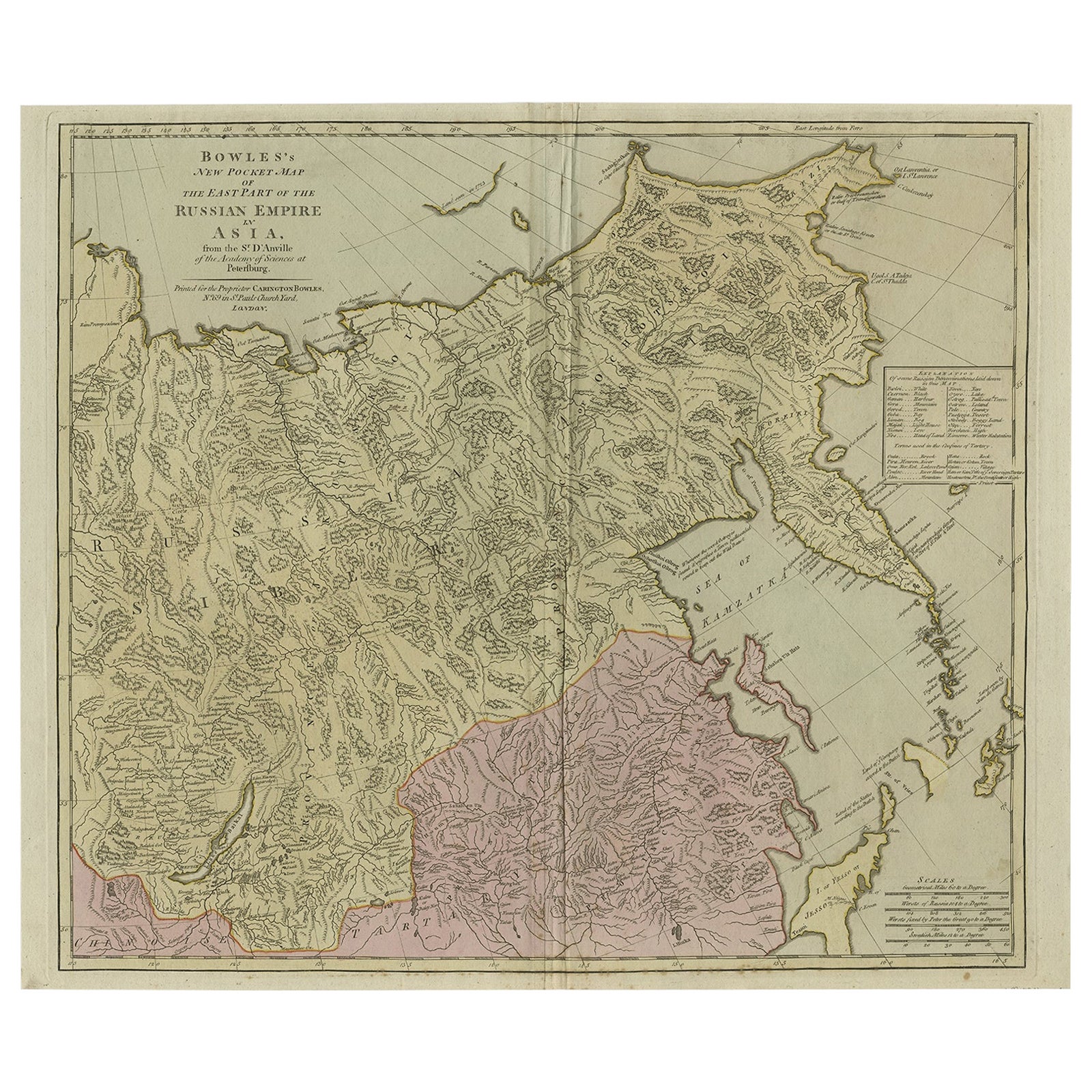
- Large and Detailed Map of the Russian Empire in Asia, ca.1780Located in Langweer, NLDescription: Antique map titled 'Bowles's New Pocket Map of the East Part of the Russian Empire in Asia'. Large and detailed map of the Russian Empire in Asia. Source unknown, to be determined. Artists and Engravers: Made by 'Thomas & Carington Bowles' after 'D'Anville'. Thomas Bowles, born around 1712, was map publisher and seller in London...Category
Antique 1780s Maps
MaterialsPaper
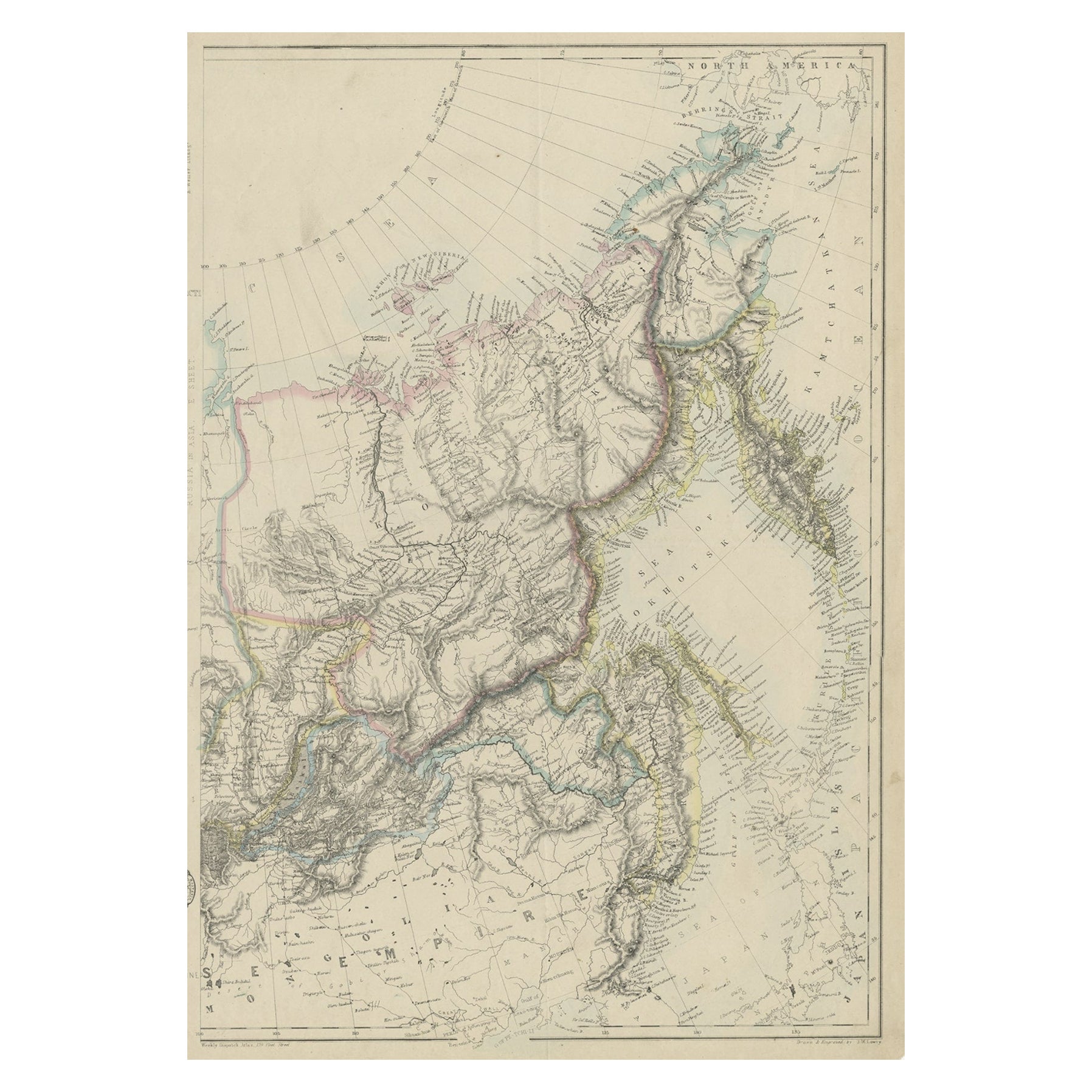
- Old Map of Russia Originating from the 'Weekly Dispatch Atlas', ca.1865Located in Langweer, NLAntique map titled 'Russia in Asia, E Sheet'. Old map of Russia originating from the 'Weekly Dispatch Atlas'. Artists and Engravers: Engraved by J.W. Lowry.Category
Antique 1860s Maps
MaterialsPaper
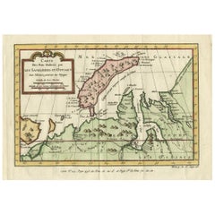
- Decorative Original Old Map of Nova Zembla and the Russian Mainland, ca.1760Located in Langweer, NLAntique map titled 'Carte Des Pais Habites par les Samojedes et Ostiacs.' Map of Novaya Zemlya and the Russian mainland. Source unknown, to be determined. Artists and Engraver...Category
Antique 1760s Maps
MaterialsPaper
- Original Antique Engraved Map of the Russian Empire, 1778Located in Langweer, NLDescription: Antique map titled 'A New and Correct Map of the Russian Empire'. Original antique map of the Russian Empire. This map originates from Moore's 'New and Complete Coll...Category
Antique 1770s Maps
MaterialsPaper
- Antique Map of the Russian Empire by R. Bonne, 1780Located in Langweer, NLAntique map titled 'Carte de l'Empire de Russie.' Drawn by R. Bonne for G. Raynal’s Atlas de Toutes les Parties Connues du Globe Terrestre, Dressé pour l'Histoire Philosophique et Po...Category
Antique Late 18th Century Maps
MaterialsPaper


You May Also Like
- Original Antique Map of Russia By Arrowsmith. 1820Located in St Annes, LancashireGreat map of Russia Drawn under the direction of Arrowsmith Copper-plate engraving Published by Longman, Hurst, Rees, Orme and Brown, 1820 Unframed.Category
Antique 1820s English Maps
MaterialsPaper
- Old Nautical Map of CorsicaLocated in Alessandria, PiemonteST/556/1 - Old map of Corsica isle, surveyed by Captain Hell, of the French Royal Navy in 1824, engraved and published on 1874, with additions and corre...Category
Antique Early 19th Century English Other Prints
MaterialsPaper
- Old Horizontal Map of EnglandBy TassoLocated in Alessandria, PiemonteST/520 - Old rare Italian map of England, dated 1826-1827 - by Girolamo Tasso, editor in Venise, for the atlas of M.r Le-Sage.Category
Antique Early 19th Century Italian Other Prints
MaterialsPaper
- Original Antique Map of Italy. Arrowsmith. 1820Located in St Annes, LancashireGreat map of Italy Drawn under the direction of Arrowsmith Copper-plate engraving Published by Longman, Hurst, Rees, Orme and Brown, 1820 Unframed.Category
Antique 1820s English Maps
MaterialsPaper
- Original Antique Map of China, Arrowsmith, 1820Located in St Annes, LancashireGreat map of China Drawn under the direction of Arrowsmith Copper-plate engraving Published by Longman, Hurst, Rees, Orme and Brown, 1820 Unfr...Category
Antique 1820s English Maps
MaterialsPaper
- Original Antique Map of Hungary, Arrowsmith, 1820Located in St Annes, LancashireGreat map of Hungary Drawn under the direction of Arrowsmith. Copper-plate engraving. Published by Longman, Hurst, Rees, Orme and Brown, 1820 Unframed.Category
Antique 1820s English Maps
MaterialsPaper


Recently Viewed
View AllMore Ways To Browse
From The 1820
Old English Antique Furniture
Old English Antique
Russia Empire
English Empire
Russian Empire Furniture
English Empire Antiques
Antique Russian Empire
Antique Russian Map
Antique Map Russia
Antique Map Of Russia
Antique Maps Of Russia
Antique Genealogy
Antique Maps Of Russian Empire
Wood And Sons Plate
Antique Caribbean
Holland Utrecht
Antique Paper Globe