Items Similar to Old Map of Russia Originating from the 'Weekly Dispatch Atlas', ca.1865

Want more images or videos?
Request additional images or videos from the seller
1 of 5
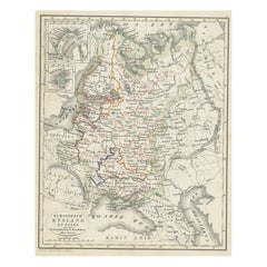
Old Map of Russia Originating from the 'Weekly Dispatch Atlas', ca.1865
About the Item
Antique map titled 'Russia in Asia, E Sheet'.
Old map of Russia originating from the 'Weekly Dispatch Atlas'.
Artists and Engravers: Engraved by J.W. Lowry.
- Dimensions:Height: 19.3 in (49 cm)Width: 13.39 in (34 cm)Depth: 0 in (0.02 mm)
- Materials and Techniques:
- Period:
- Date of Manufacture:circa 1865
- Condition:Wear consistent with age and use. Condition: Good, minor defects from handling. Few holes and tears. Please study image carefully.
- Seller Location:Langweer, NL
- Reference Number:
About the Seller
5.0
Platinum Seller
These expertly vetted sellers are 1stDibs' most experienced sellers and are rated highest by our customers.
Established in 2009
1stDibs seller since 2017
1,916 sales on 1stDibs
Typical response time: <1 hour
- ShippingRetrieving quote...Ships From: Langweer, Netherlands
- Return PolicyA return for this item may be initiated within 14 days of delivery.
More From This SellerView All
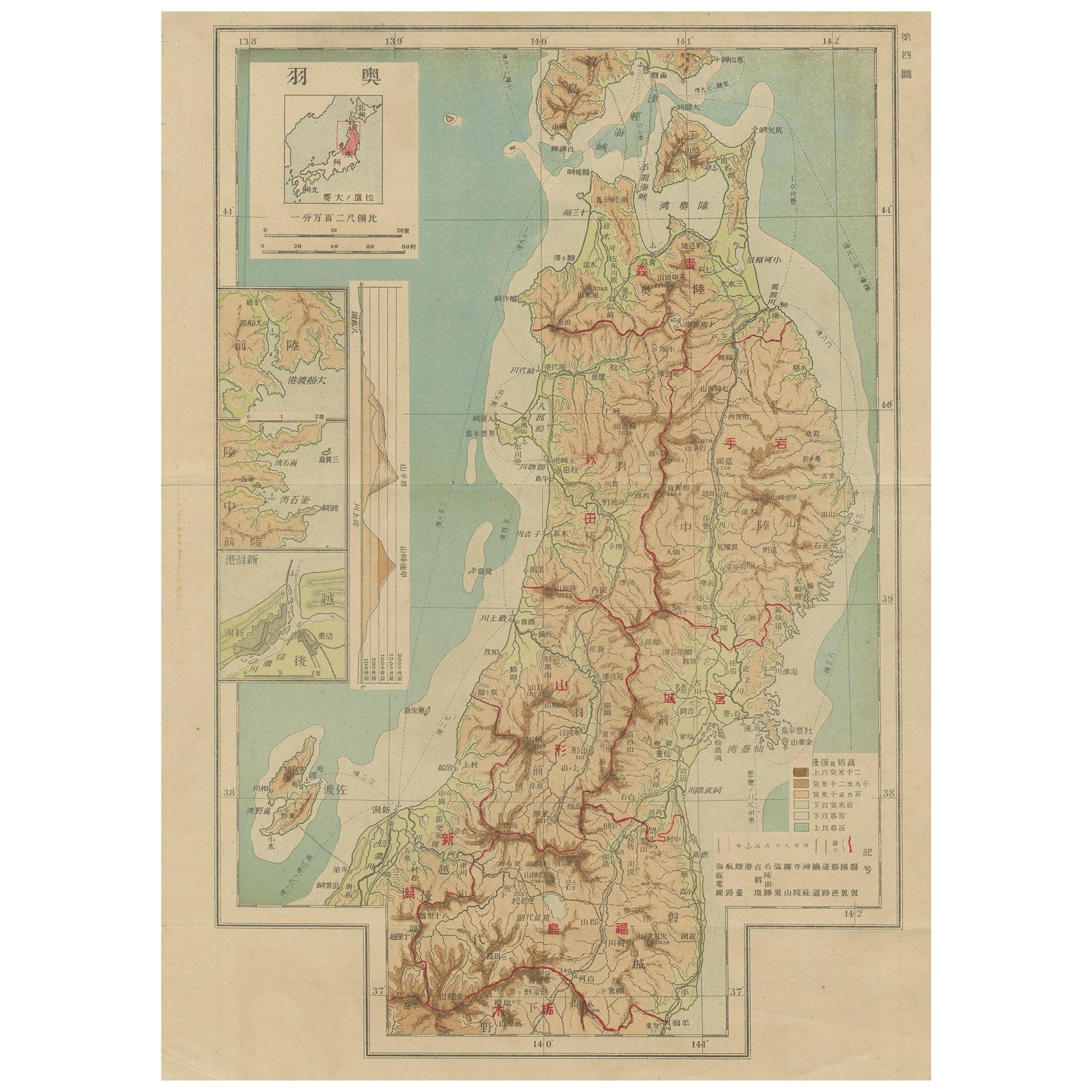
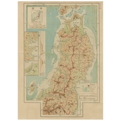
- Set of 11 Antique Maps of Japan Originating from a Japanese Atlas, 1906Located in Langweer, NLSet of 11 antique maps depicting various regions of Japan. These maps originate from a Japanese atlas, dated 1906. All text is in Japanese.Category
20th Century Maps
MaterialsPaper
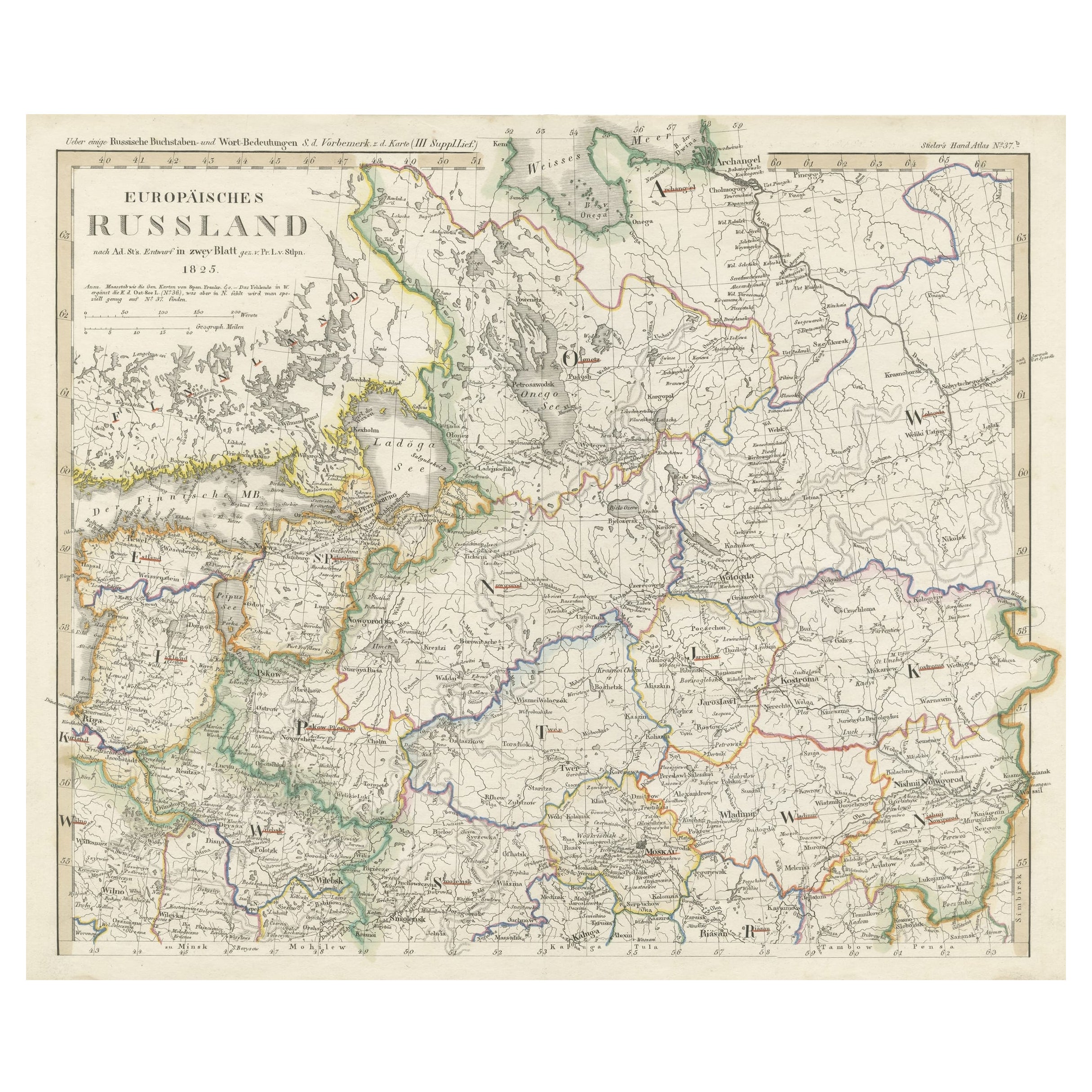
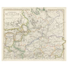
- Antique Map of Russia in Europe on Two Sheets from an Old German Atlas, Ca.1825Located in Langweer, NLDescription: Antique map titled 'Europäisches Russland'. Two individuel sheets, joined together they depict Russia in Europe. These maps originate from 'Stielers Handatlas'. Publis...Category
Antique 1820s Maps
MaterialsPaper
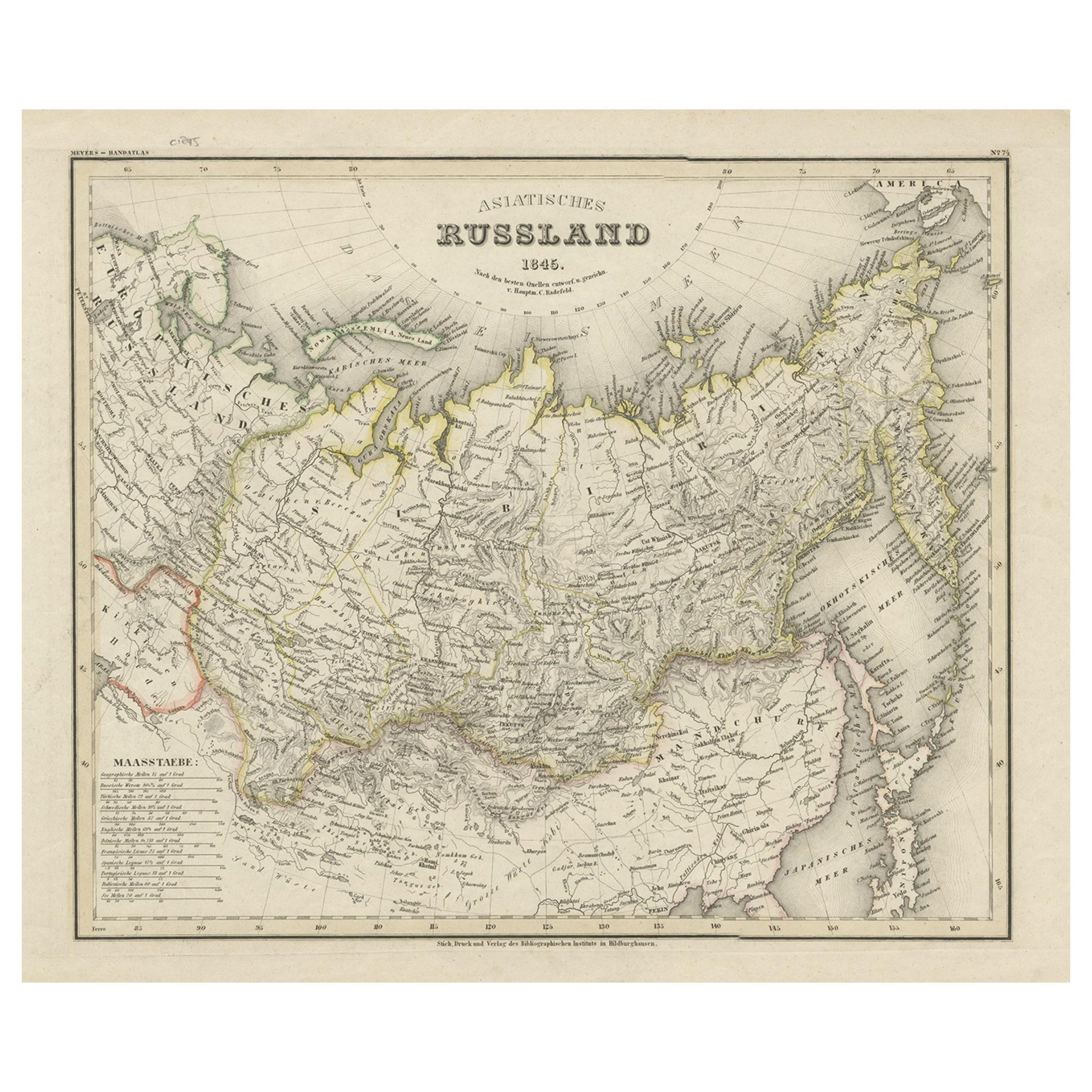
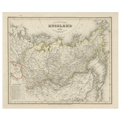
- Antique Map of Russia in Asia from An Old German Atlas, 1845By MeyerLocated in Langweer, NLAntique map titled 'Asiatisches Russland'. This map depicts Russia in Asia and originates from 'Meyers Handatlas'. Artists and Engravers: Engraved and published by 'Bibliographis...Category
Antique 19th Century Maps
MaterialsPaper
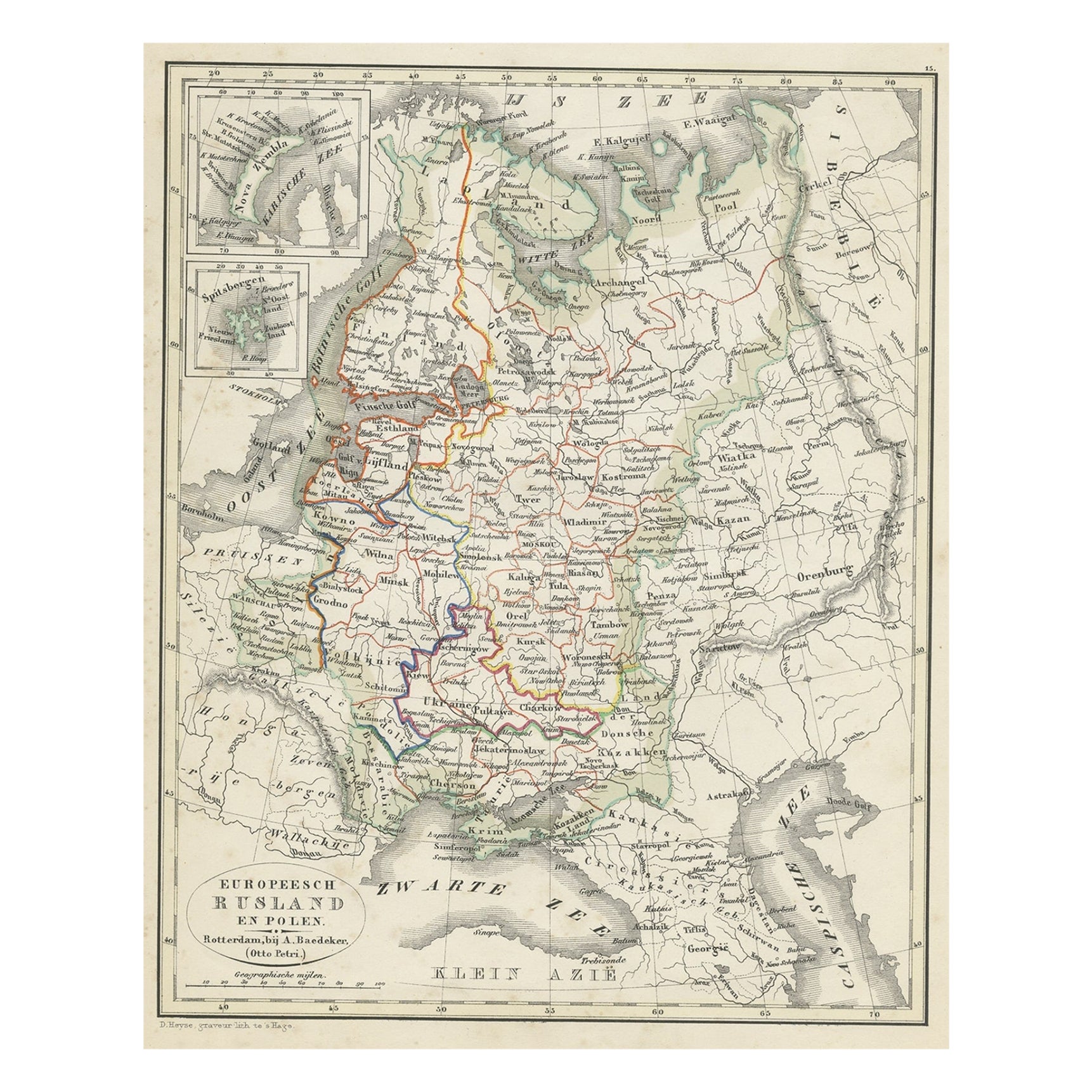
- Antique Map of Russia in Europe and Poland from an d Old Dutch Atlas, 1852Located in Langweer, NLDescription: Antique map titled 'Europeesch Rusland en Polen'. Map of Russia in Europe and Poland. This map originates from 'School-Atlas van alle deelen der Aarde' by Otto Petri...Category
Antique 1850s Maps
MaterialsPaper
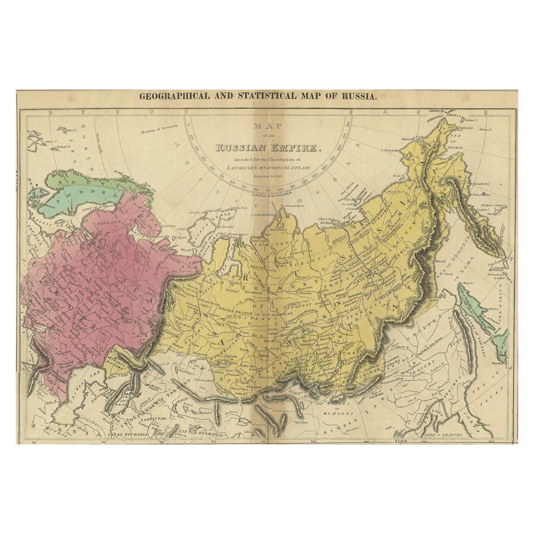
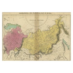
- Old Map of the Russian Empire, with English Language Text, Ca.1820Located in Langweer, NLAntique map titled 'Geographical, Statistical and Historical Map of Russia'. Old map of the Russian Empire, encompassed on three sides by English language text. Originates from L...Category
Antique 1820s Maps
MaterialsPaper
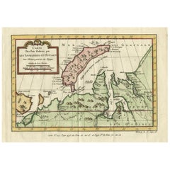
- Decorative Original Old Map of Nova Zembla and the Russian Mainland, ca.1760Located in Langweer, NLAntique map titled 'Carte Des Pais Habites par les Samojedes et Ostiacs.' Map of Novaya Zemlya and the Russian mainland. Source unknown, to be determined. Artists and Engraver...Category
Antique 1760s Maps
MaterialsPaper
You May Also Like
- Old Nautical Map of CorsicaLocated in Alessandria, PiemonteST/556/1 - Old map of Corsica isle, surveyed by Captain Hell, of the French Royal Navy in 1824, engraved and published on 1874, with additions and corre...Category
Antique Early 19th Century English Other Prints
MaterialsPaper
- Old Horizontal Map of EnglandBy TassoLocated in Alessandria, PiemonteST/520 - Old rare Italian map of England, dated 1826-1827 - by Girolamo Tasso, editor in Venise, for the atlas of M.r Le-Sage.Category
Antique Early 19th Century Italian Other Prints
MaterialsPaper
- Lithographic print on paper, depicting the atlas of the hand, France 1850 ca.Located in Milan, ITAn anatomical lithographic print on paper, depicting the anatomical atlas of the hand. Black lacquered fir wood frame with golden ramin wood batting. N. H. Ja...Category
Antique Mid-19th Century French Prints
MaterialsGlass, Wood, Paper
- “The Restaurant of the House of Representatives” Engraving by Harper's WeeklyLocated in Colorado Springs, COThis original wood engraving is titled “The Restaurant of the House of Representatives, Washington, DC.” It was published as a double-page image, in the August 12, 1893 issue of the famous 19th century newspaper Harper’s Weekly. The print was illustrated by Charles Stanley Reinhardt. The House Restaurant, a unique part of life in the Capitol, has been in the same location since the 1857 Capitol Expansion. Congressional members’ busy work schedule made the availability of food on site a necessity. But the restaurant also served as an informal meeting spot for members to continue conversations and deal making. This 1893 print illustrates the convivial atmosphere. Details including elegantly dressed tables...Category
Antique 1890s American Prints
MaterialsPaper
- New Map of North America from the Latest Discoveries, 1763Located in Philadelphia, PAA fine antique 18th century map of the North American seaboard. Entitled "A New Map of North America from the Latest Discoveries 1763". By the Cartographer/Engraver - John Spil...Category
Antique Mid-18th Century English Georgian Maps
MaterialsPaper
- Vintage "View of the Center of Paris Taken from the Air" Lithograph MapLocated in San Diego, CAA very stylish "View of the Center of Paris Taken from the Air" lithograph map published by the Paris Ministry of Tourism, circa early 1950s. The piece measures 27" x 43" and shows...Category
20th Century French Mid-Century Modern Prints
MaterialsPaper


Recently Viewed
View AllMore Ways To Browse
Antique Russian Map
Antique Map Russia
Antique Map Of Russia
Antique Maps Of Russia
Old Asia Map
Wood And Sons Plate
Antique Caribbean
Holland Utrecht
Antique Paper Globe
Small Antique Globes
Antique Map India
Antique Map Of India
Antique Maps Of India
Antique Surveying
Maps United Kingdom
Antique Style Map
Antique City Plans
Antique New York Maps