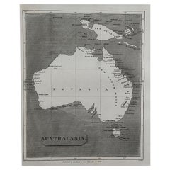
Original Antique Map of Australia by Thomas Clerk, 1817
View Similar Items


Want more images or videos?
Request additional images or videos from the seller
1 of 5
Auction endedBrowse Current Auctions
Original Antique Map of Australia by Thomas Clerk, 1817
About the Item
- Dimensions:Height: 10.25 in (26.04 cm)Width: 8.25 in (20.96 cm)Depth: 0.07 in (1.78 mm)
- Materials and Techniques:Paper,Other
- Place of Origin:
- Period:
- Date of Manufacture:1817
- Condition:Wear consistent with age and use.
- Seller Location:St Annes, GB
- Reference Number:1stDibs: LU1836325931182
About the Seller
4.9
Platinum Seller
These expertly vetted sellers are 1stDibs' most experienced sellers and are rated highest by our customers.
1stDibs seller since 2016
2,546 sales on 1stDibs
Associations
International Confederation of Art and Antique Dealers' Associations
More From This SellerView All
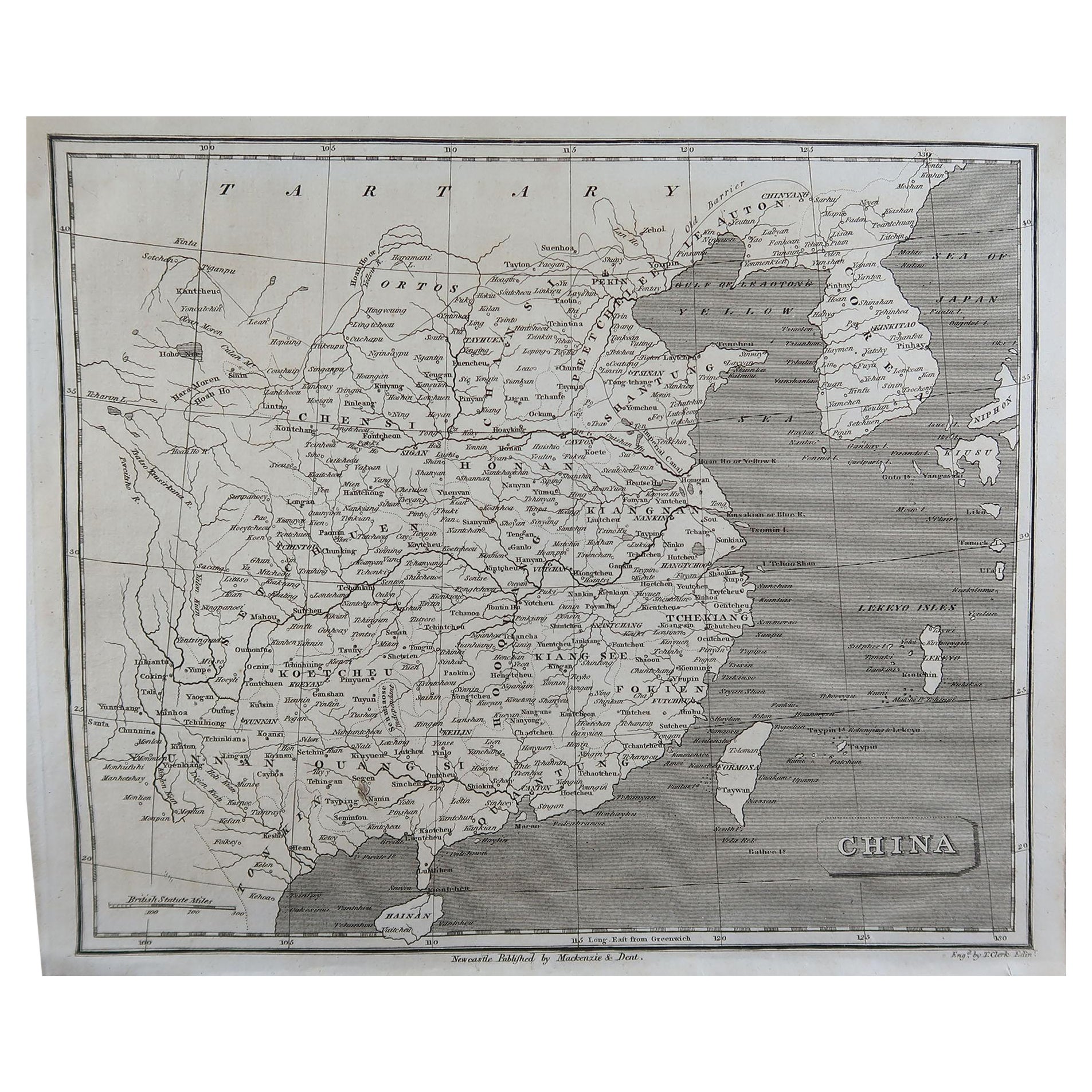
- Original Antique Map of China by Thomas Clerk, 1817Located in St Annes, LancashireGreat map of China Copper-plate engraving Drawn and engraved by Thomas Clerk, Edinburgh. Published by Mackenzie And Dent, 1817 Unframed.Category
Antique 1810s English Maps
MaterialsPaper

- Original Antique Map of The World by Thomas Clerk, 1817Located in St Annes, LancashireGreat map of The Eastern and Western Hemispheres On 2 sheets Copper-plate engraving Drawn and engraved by Thomas Clerk, Edinburgh. Published by Mackenzie And Dent, 1817 ...Category
Antique 1810s English Maps
MaterialsPaper
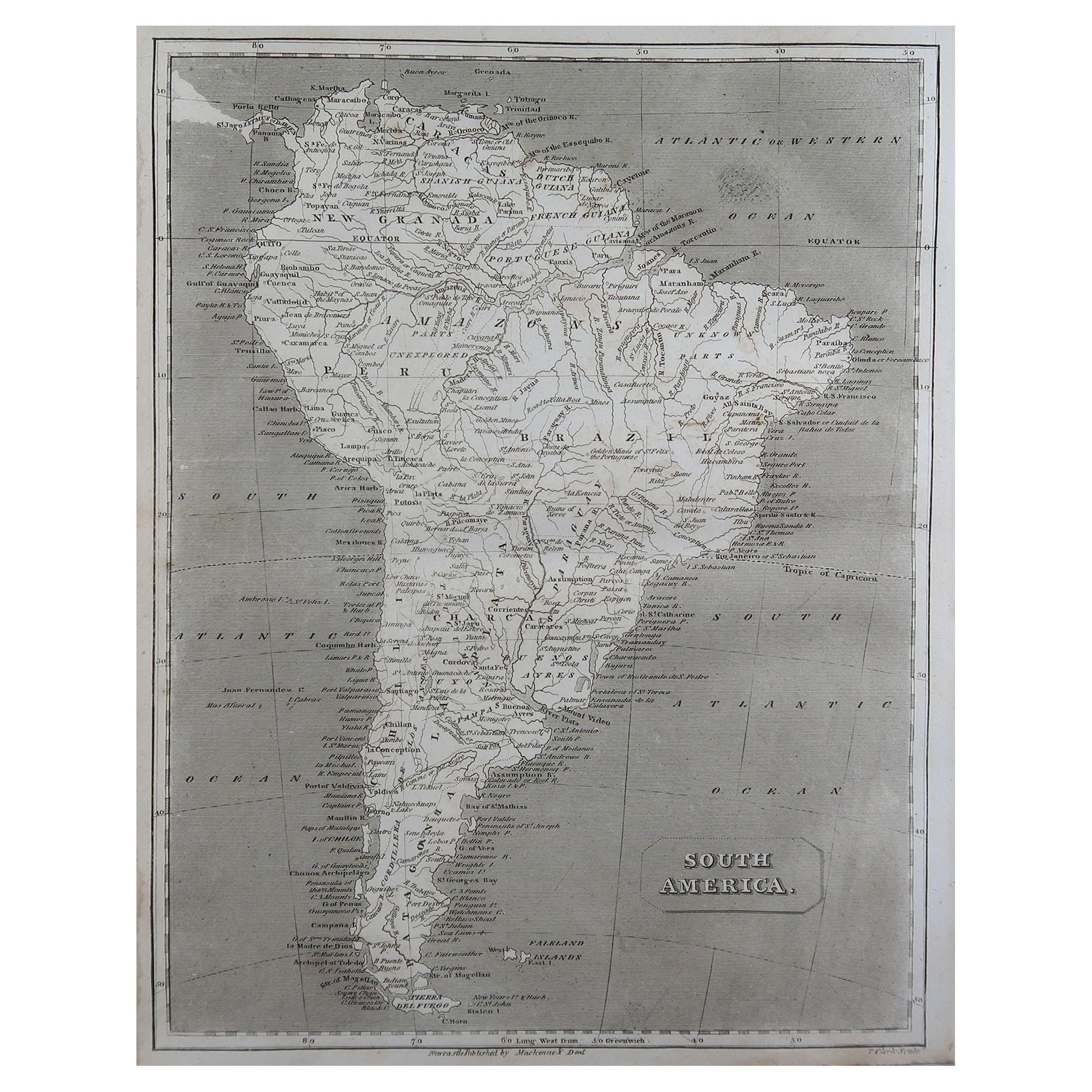
- Original Antique Map of South America by Thomas Clerk, 1817Located in St Annes, LancashireGreat map of South America Copper-plate engraving Drawn and engraved by Thomas Clerk, Edinburgh. Published by Mackenzie And Dent, 1817 Unframed.Category
Antique 1810s English Maps
MaterialsPaper
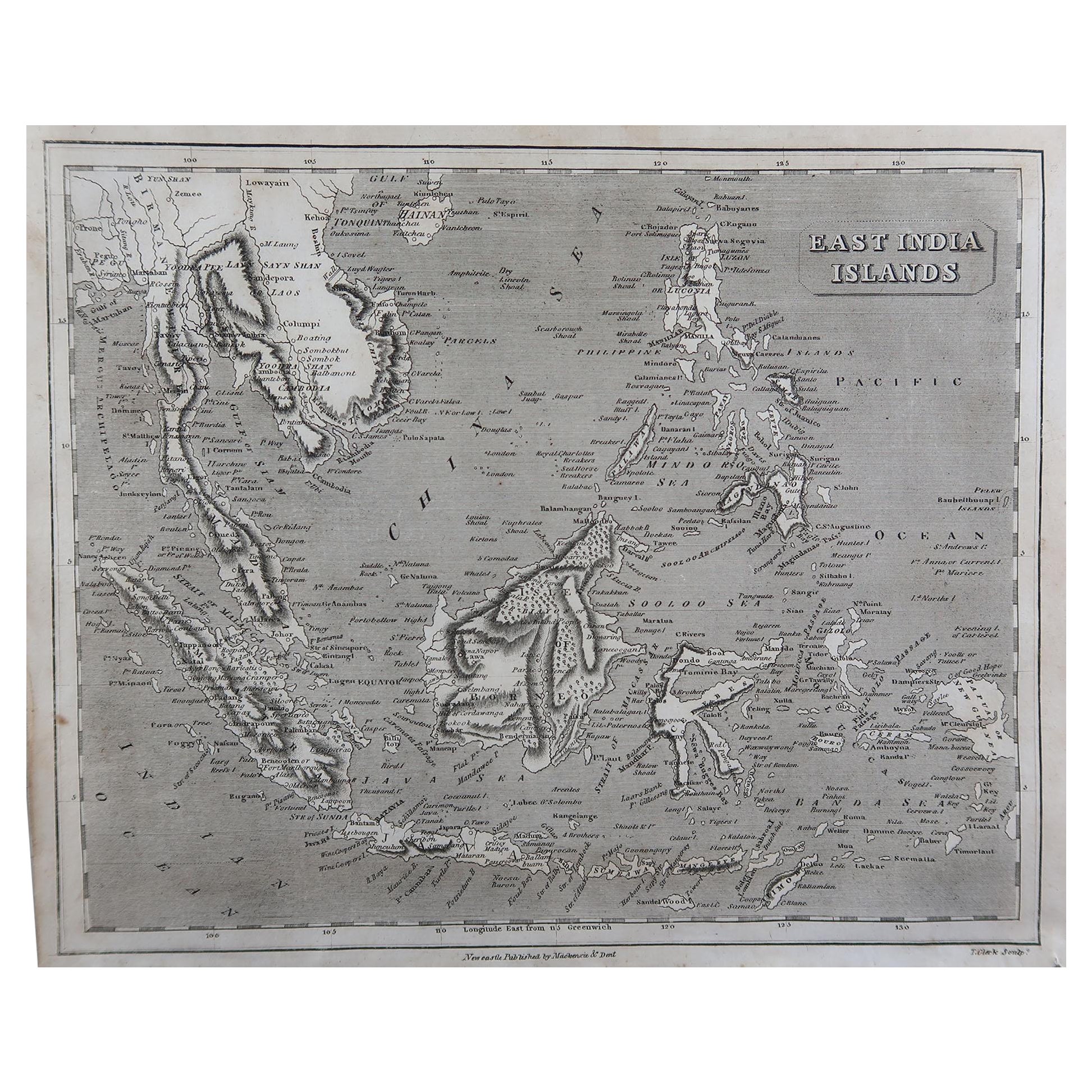
- Original Antique Map of South East Asia by Thomas Clerk, 1817Located in St Annes, LancashireGreat map of South East Asia Copper-plate engraving Drawn and engraved by Thomas Clerk, Edinburgh. Published by Mackenzie And Dent, 1817 Unframed.Category
Antique 1810s English Maps
MaterialsPaper
- Original Antique Map of Spain and Portugal by Thomas Clerk, 1817Located in St Annes, LancashireGreat map of Spain and Portugal Copper-plate engraving Drawn and engraved by Thomas Clerk, Edinburgh. Published by Mackenzie And Dent, 1817 Unframed.Category
Antique 1810s English Maps
MaterialsPaper
- Original Antique Map of Russia By Arrowsmith. 1820Located in St Annes, LancashireGreat map of Russia Drawn under the direction of Arrowsmith Copper-plate engraving Published by Longman, Hurst, Rees, Orme and Brown, 1820 Unframed.Category
Antique 1820s English Maps
MaterialsPaper


You May Also Like
- Antique Map of the Atlantic Islands, 1817Located in Langweer, NLAntique map titled 'Atlantic Islands'. Large map of the Atlantic Islands include the Cape Verde islands, Canary islands, Azore islands and Madeira islands. Also included a view of th...Category
Antique Early 19th Century Maps
MaterialsPaper
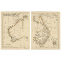
- Antique Map of Australia by H. Kiepert, 1875Located in Langweer, NLAntique map titled 'Australien'. Large and detailed map of Australia and New Zealand. With color key in lower left. The map is prepared by H. Kiepert...Category
Antique Late 19th Century Maps
MaterialsPaper
 $180 Sale Price40% Off
 - Antique Map of Australia by Levasseur, '1875'Located in Langweer, NLAntique map titled 'Carte générale de l'Australie'. Large map of Australia. This map originates from 'Atlas de Géographie Moderne Physique et Politiq...Category
Antique Late 19th Century Maps
MaterialsPaper
 $382 Sale Price30% Off
 - Antique Map of Australia by Lowry, 1852Located in Langweer, NLAntique map titled 'Australia'. Two individual sheets of Australia. This map originates from 'Lowry's table Atlas constructed and engraved from the most recent authorities' by J.W. L...Category
Antique Mid-19th Century Maps
MaterialsPaper
 $218 / set
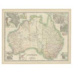
 - Antique Map of Australia by Johnston '1909'Located in Langweer, NLAntique map titled 'Australia'. Original antique map of Australia. With inset maps of Melbourne, Port Phillip, Adelaide, Perth, Sydney, Brisba...Category
Early 20th Century Maps
MaterialsPaper
- Antique Map of South Australia by A.K. Johnston, 1865Located in Langweer, NLAntique map titled 'South Australia, New South Wales, Victoria & Queensland'. This map originates from the ‘Royal Atlas of Modern Geography’ by Alexander Keith Johnston. Published by...Category
Antique Mid-19th Century Maps
MaterialsPaper
 $262 Sale Price20% Off

Recently Viewed
View AllMore Ways To Browse
Antique Copper Australia
Antique Maps Germany
Antique Collectable Market
Antique Collectible Market
Antique House Windows
Antique Maps Of Germany
Antique Map Of Germany
Texas Antique Furniture
Antique Texas Furniture
Cross Decor
Antique Large Maps
Britain Map
American West Antiques
Antique Furniture Long Island
Antique London Maps
Antique London Map
Antique Map London
London Antique Maps