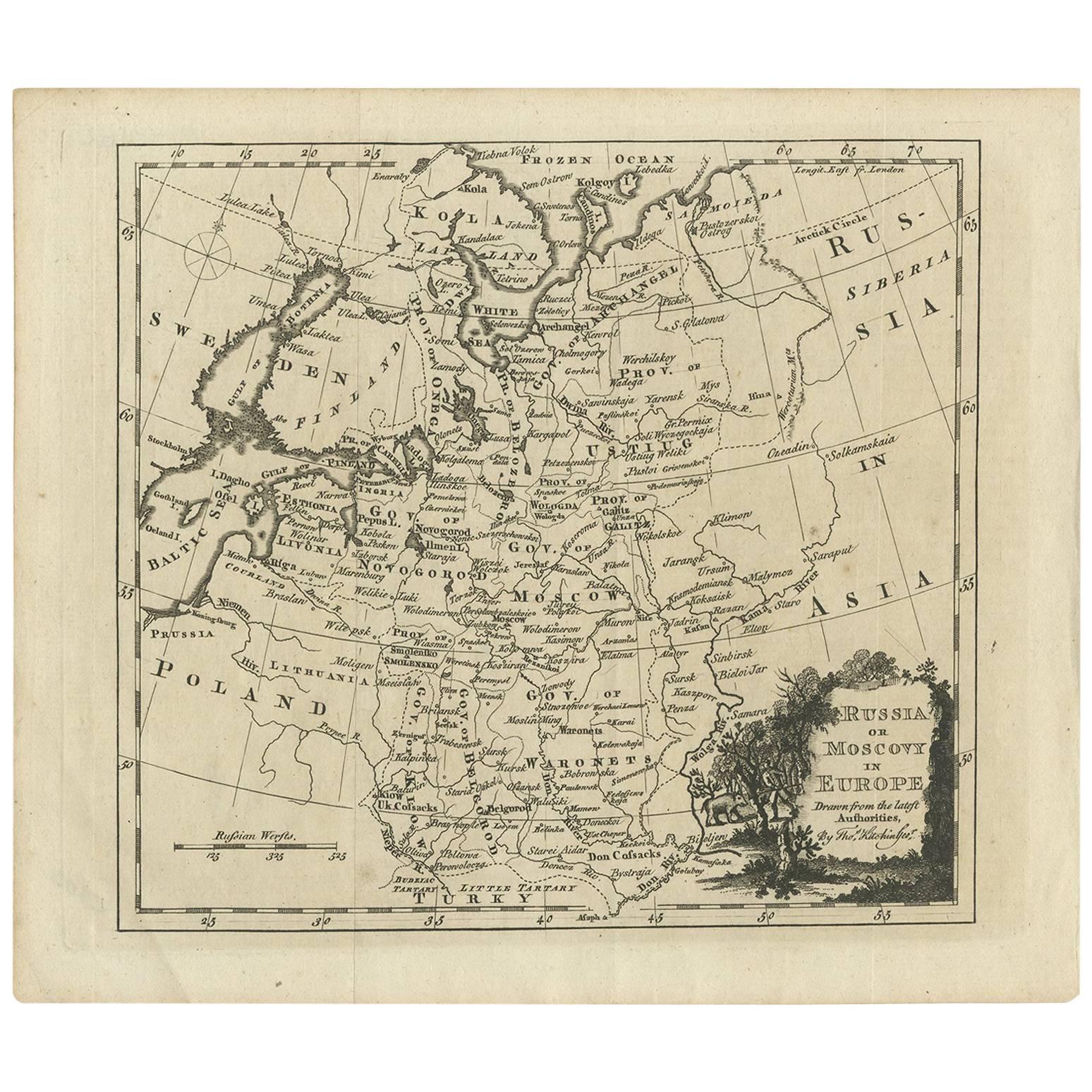
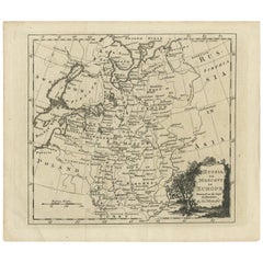
Original Antique Map of Russia, circa 1790
View Similar Items


Want more images or videos?
Request additional images or videos from the seller
1 of 5
Original Antique Map of Russia, circa 1790
About the Item
- Dimensions:Height: 8.25 in (20.96 cm)Width: 11 in (27.94 cm)Depth: 0.07 in (1.78 mm)
- Style:Other (In the Style Of)
- Materials and Techniques:Paper,Other
- Place of Origin:
- Period:1790-1799
- Date of Manufacture:1790
- Condition:Wear consistent with age and use.
- Seller Location:St Annes, GB
- Reference Number:1stDibs: LU1836323145632
About the Seller
4.9
Platinum Seller
These expertly vetted sellers are 1stDibs' most experienced sellers and are rated highest by our customers.
1stDibs seller since 2016
2,539 sales on 1stDibs
Associations
International Confederation of Art and Antique Dealers' Associations
More From This SellerView All
- Original Antique Map of Spain and Portugal, circa 1790Located in St Annes, LancashireSuper map of Spain and Portugal Copper plate engraving by A. Bell Published, circa 1790. Unframed.Category
Antique 1790s English Other Maps
MaterialsPaper
- Original Antique Map of Russia By Arrowsmith. 1820Located in St Annes, LancashireGreat map of Russia Drawn under the direction of Arrowsmith Copper-plate engraving Published by Longman, Hurst, Rees, Orme and Brown, 1820 Unframed.Category
Antique 1820s English Maps
MaterialsPaper

- Original Antique Map of South America, circa 1830Located in St Annes, LancashireGreat map of South America Copper plate engraving Published by Butterworth, Livesey & Co., circa 1830 Unframed.Category
Antique Early 1800s English Other Maps
MaterialsPaper

- Large Original Antique Map of Scotland, circa 1870Located in St Annes, LancashireGreat map of Scotland Original color Engraved by Swanston, Edinburgh Published by Fullarton, Edinburgh, circa 1870. Unframed.Category
Antique 1870s Scottish Other Maps
MaterialsPaper
- Original Antique Map of South East Asia by Becker, circa 1840Located in St Annes, LancashireGreat map of South East Asia Steel engraving with original color outline Engraved by Becker Published by Virtue, circa 1840. Unframed.Category
Antique 1840s English Other Maps
MaterialsPaper
- Original Antique Print of Moscow, Russia, circa 1810Located in St Annes, LancashireGreat image of The Kremlin Copper-plate engraving. Published by Brightly & Co. Unframed.Category
Antique 1810s English Maps
MaterialsPaper


You May Also Like
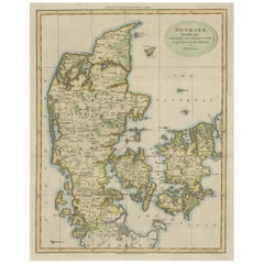
- Original Hand-colored Antique Map of Denmark by S. Neele, 1790Located in Langweer, NLAntique very decorative engraving of Denmark engraved by S. Neele. Published in November 1790 by John Trusler. Tape on verso.Category
Antique Late 18th Century Maps
MaterialsPaper
 $183 Sale Price20% Off
 - Original Antique Engraved Map of the Russian Empire, 1778Located in Langweer, NLDescription: Antique map titled 'A New and Correct Map of the Russian Empire'. Original antique map of the Russian Empire. This map originates from Moore's 'New and Complete Coll...Category
Antique 1770s Maps
MaterialsPaper
 $481 Sale Price20% Off
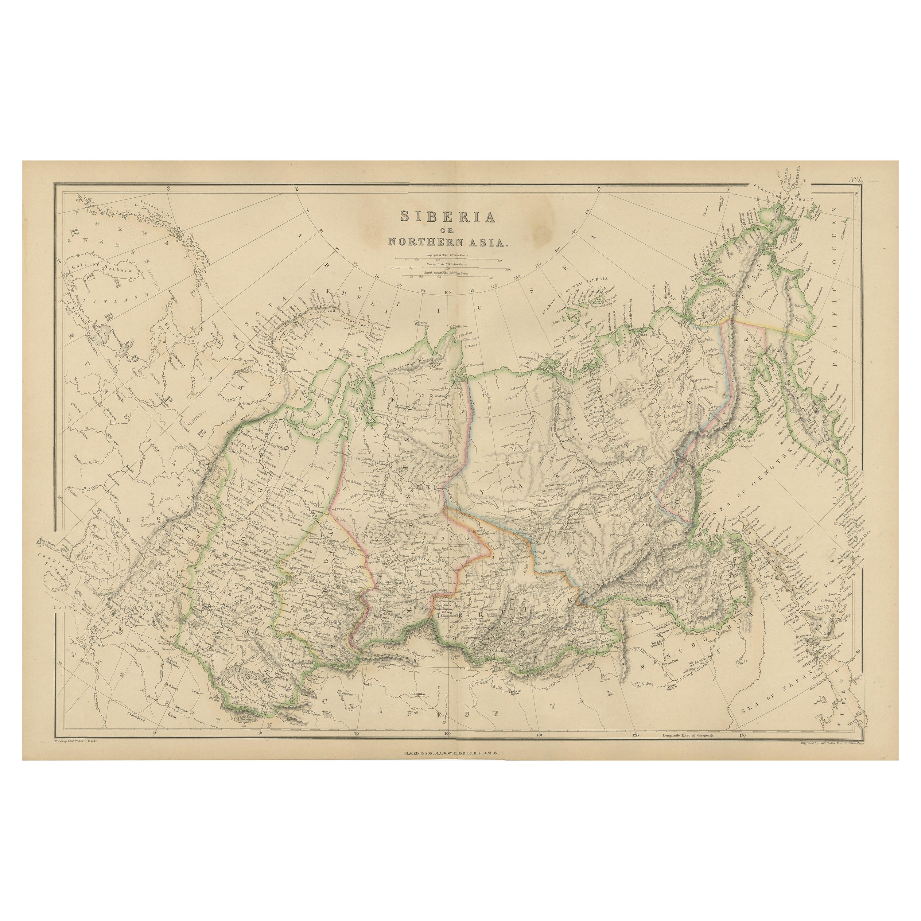
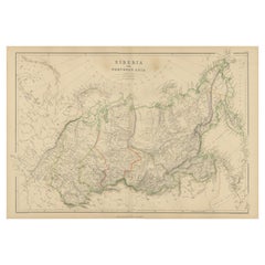
 - Antique Map of Siberia, Russia, 1859Located in Langweer, NLAntique map titled 'Siberia or Northern Asia'. Original antique map of Siberia or Northern Asia. This map originates from ‘The Imperial Atlas of Modern Geography’. Published by W. G....Category
Antique Mid-19th Century Maps
MaterialsPaper
 $218 Sale Price20% Off
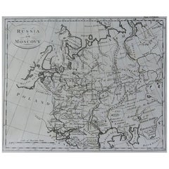
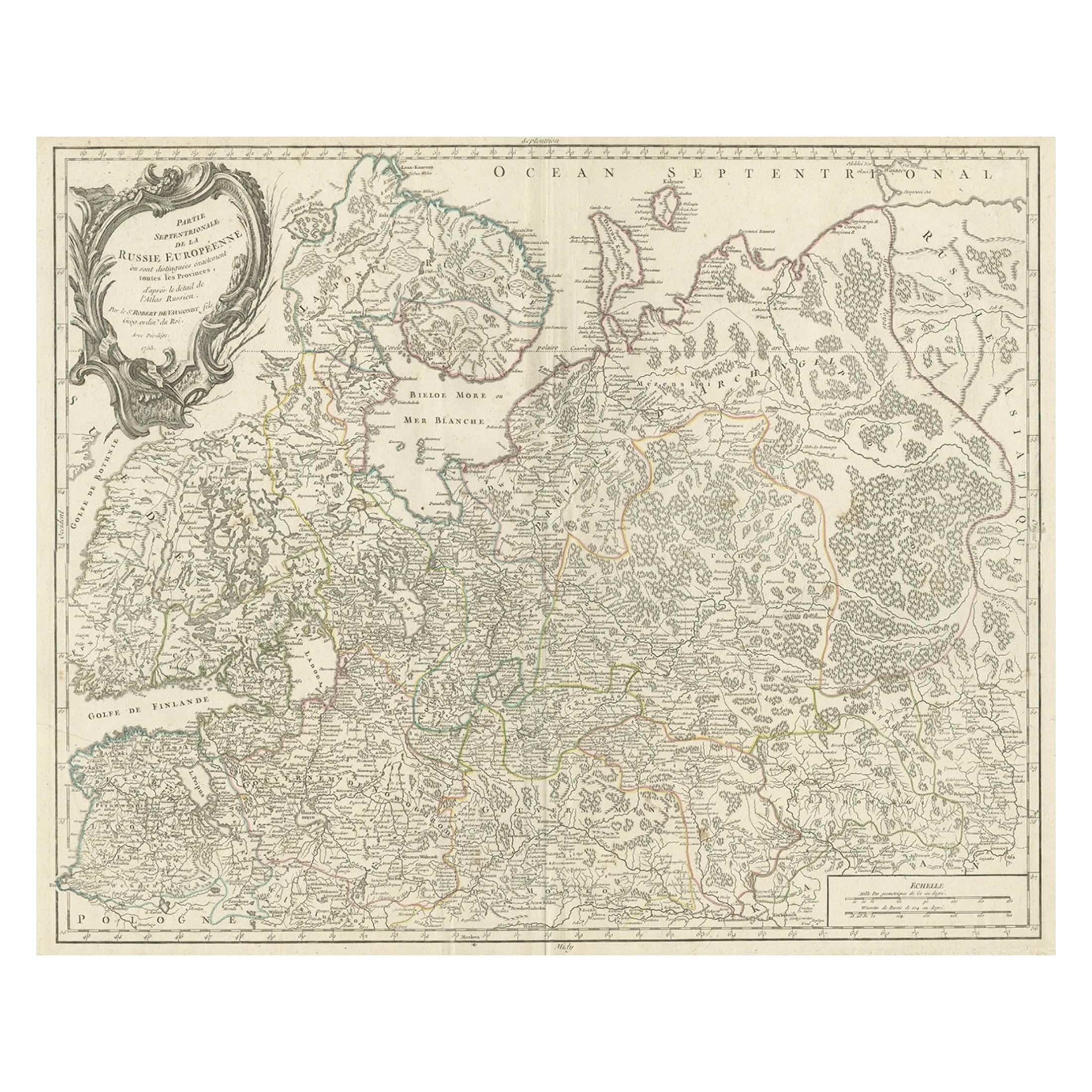
 - Antique Map of Russia in Europe by T. Kitchin, circa 1770Located in Langweer, NLAntique map titled 'Russia or Moscovy in Europe, drawn from the latest authorities (..)'. An interesting and attractive early 19th century map of Russia in Europe which was engraved ...Category
Antique Late 18th Century Maps
MaterialsPaper
 $131 Sale Price25% Off
 - Antique Hand-Colored Engraved Map of Denmark, 1790Located in Langweer, NLPublished by Russell (J. C.). Denmark. Divided into Dioceses and Prefectures compiled from the best Authorities, 1790, hand-coloured engraved map on handmade paper with watermark. 41...Category
Antique 1790s Maps
MaterialsPaper
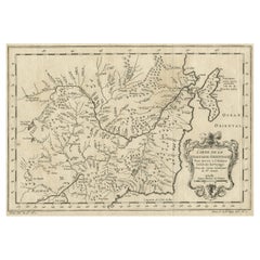
- Original Antique Map of Tartary 'Northern China & Far Eastern Russia', 1757Located in Langweer, NLAntique map titled 'Carte de la Tartarie Orientale (..)'. Original antique map of what is present day northern China and far eastern Russia. Centere...Category
Antique 1750s Maps
MaterialsPaper