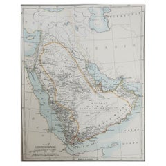
Original Antique Map of Saudi Arabia, 1889
View Similar Items


Want more images or videos?
Request additional images or videos from the seller
1 of 5
Auction endedBrowse Current Auctions
Original Antique Map of Saudi Arabia, 1889
About the Item
- Dimensions:Height: 11 in (27.94 cm)Width: 8 in (20.32 cm)Depth: 0.07 in (1.78 mm)
- Materials and Techniques:Paper,Other
- Place of Origin:
- Period:
- Date of Manufacture:1889
- Condition:Wear consistent with age and use.
- Seller Location:St Annes, GB
- Reference Number:1stDibs: LU1836334783452
About the Seller
4.9
Platinum Seller
These expertly vetted sellers are 1stDibs' most experienced sellers and are rated highest by our customers.
1stDibs seller since 2016
2,605 sales on 1stDibs
Associations
International Confederation of Art and Antique Dealers' Associations
More From This SellerView All
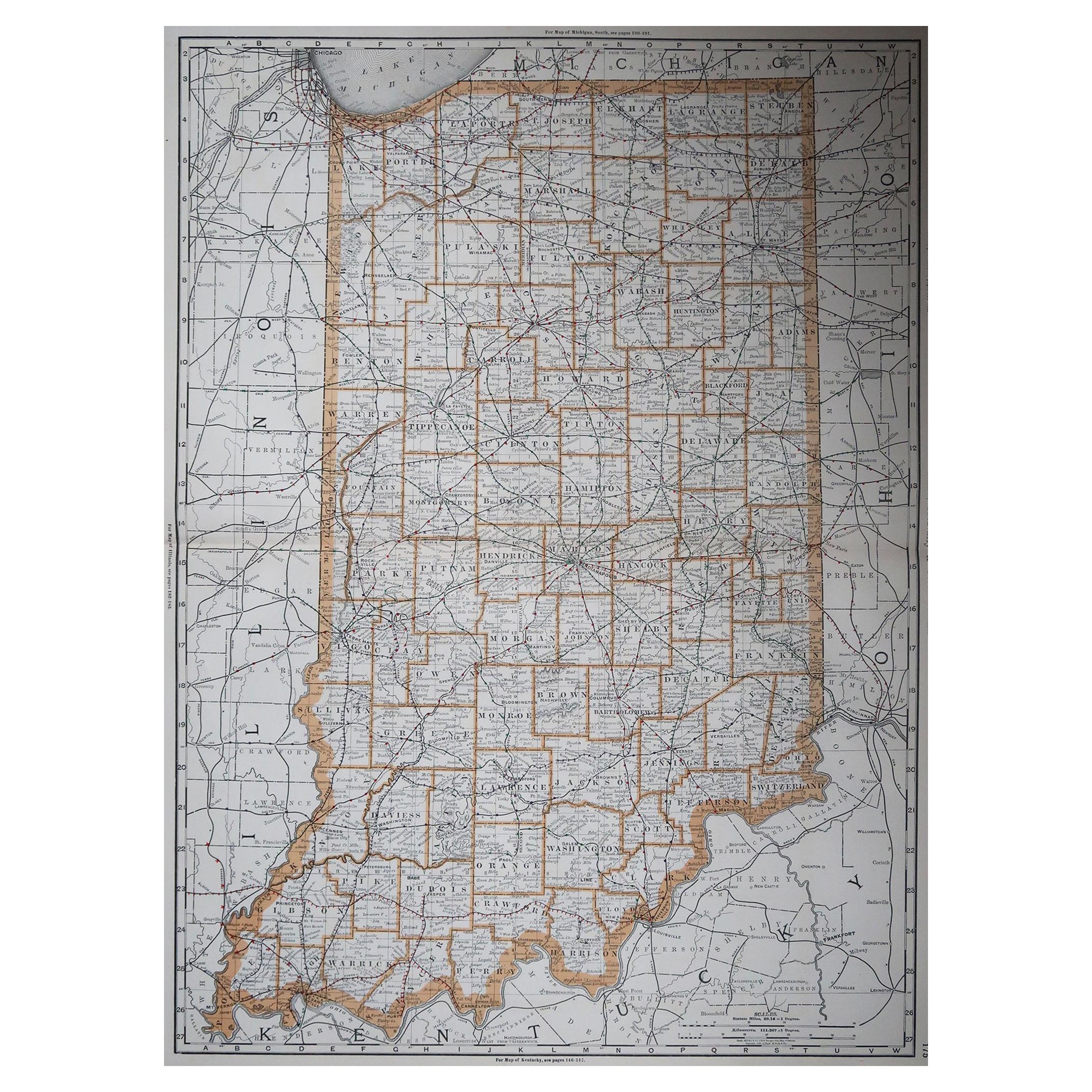
- Original Antique Map of Missouri, 1889Located in St Annes, LancashireGreat map of Missouri Drawn and Engraved by W. & A.K. Johnston Published By A & C Black, Edinburgh. Original colour Unframed.Category
Antique 1880s Scottish Victorian Maps
MaterialsPaper

- Original Antique Map of the American State of Pennsylvania, 1889Located in St Annes, LancashireGreat map of Pennsylvania Drawn and Engraved by W. & A.K. Johnston Published By A & C Black, Edinburgh. Original colour Unframed. Repair to a minor tear on bottom edge.Category
Antique 1880s Scottish Victorian Maps
MaterialsPaper
- Original Antique Map of the American State of Washington, 1889Located in St Annes, LancashireGreat map of Washington Drawn and Engraved by W. & A.K. Johnston Published By A & C Black, Edinburgh. Original colour Unframed.Category
Antique 1880s Scottish Victorian Maps
MaterialsPaper
- Original Antique Map of the American State of Nevada, 1889Located in St Annes, LancashireGreat map of Nevada Drawn and Engraved by W. & A.K. Johnston Published By A & C Black, Edinburgh. Original colour Unframed.Category
Antique 1880s Scottish Victorian Maps
MaterialsPaper
- Original Antique Map of the American State of Oregon, 1889Located in St Annes, LancashireGreat map of Oregon Drawn and Engraved by W. & A.K. Johnston Published By A & C Black, Edinburgh. Original colour Unframed.Category
Antique 1880s Scottish Victorian Maps
MaterialsPaper
- Original Antique Map of New Brunswick and Nova Scotia, 1889Located in St Annes, LancashireGreat map of New Brunswick and Nova Scotia Drawn and Engraved by W. & A.K. Johnston Published By A & C Black, Edinburgh. Original colour Unfr...Category
Antique 1880s Scottish Victorian Maps
MaterialsPaper


You May Also Like
- Original Engraved Antique Map of the World, Colorful and Decorative, C.1780By Pierre François TardieuLocated in Langweer, NLAntique map titled 'Mappemonde en Deux Hemispheres ou l'on a Indique les Nouvelles Decouvertes' - This handsome double hemisphere map presents a ...Category
Antique 18th Century Maps
MaterialsPaper
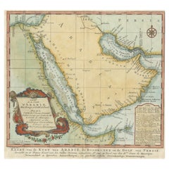
- Original Antique Map of Arabia and the Red SeaLocated in Langweer, NLAntique map titled 'Carte de la Coste d'Arabie (..) - Kaart van de Kust van Arabië (..)'. This is a Dutch version, engraved by J. van Schley, of Bellin's map of Arabia and the Red Se...Category
Antique Mid-18th Century Maps
MaterialsPaper
- Very Decorative Original Antique Map of the World, Published in France in c.1780By Rigobert BonneLocated in Langweer, NLAntique map titled 'L'Ancien Monde Et Le Nouveau en Deux Hemispheres' - Double hemisphere map of the World, showing the contemporary geographical...Category
Antique 18th Century Maps
MaterialsPaper
 $682 Sale Price20% Off
 - Antique Map of a Hemisphere by Scherer, c.1703Located in Langweer, NLAntique map depiciting a horizon/hemisphere. Printed for Scherer's 'Atlas Novus' (1702-1710). Artists and Engravers: Heinrich Scherer (1628-1704) was a Professor of Hebrew, Mathematics and Ethics at the University of Dillingen until about 1680. Thereafter he obtained important positions as Official Tutor to the Royal Princes...Category
Antique 18th Century Maps
MaterialsPaper
- Antique Map of Venezuela by Montanus, 1671By Arnoldus MontanusLocated in Langweer, NLAntique map titled 'Venezuela cum parte Australi Novae Andalusiae'. The map extends from Coquibocoa to the Orinoque River, centered on Bariquicemento and Cape de Curiacao. Large cart...Category
Antique Mid-17th Century English Maps
MaterialsPaper
 $533 Sale Price20% Off
 - Antique Map of Korea by Kozaki, 1903Located in Langweer, NLOld map of Korea by S. Kozaki. Restored and mounted.Category
20th Century Maps
MaterialsPaper
 $843 Sale Price20% Off


Recently Viewed
View AllMore Ways To Browse
Saudi Arabia Antique Map
Map Of Barbados
Nantucket Chart
Nautical Martinique
Vintage Schoolroom
Antique Furniture Denver Co
Antique Maps Washington Dc
Daniel Bautista
Denoyer Geppert Anatomy
Map Cleveland
Map Montana
Montana Maps
Antique Chesapeake Bay Map
Antique Map Of Chesapeake Bay
J Thayer
Rand McNally & Co. On Sale
Bolivia Antique Map
Irish Canterbury Furniture