Items Similar to Roman Balkans: Pannonia, Illyricum, Dacia, Moesia, Thracia, Macedonia and Thyris
Want more images or videos?
Request additional images or videos from the seller
1 of 7
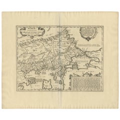
Roman Balkans: Pannonia, Illyricum, Dacia, Moesia, Thracia, Macedonia and Thyris
About the Item
This original antique map showcases the Roman provinces in the Balkan region and parts of Central and Eastern Europe. The title "PANNONIA, ILLYRICUM DACIA, MOESIA, THRACIA, MACEDONIA, EPIRYS." indicates that the map focuses on these specific ancient Roman provinces.
**Features of the map include:**
1. **Provincial Boundaries**: Different colors seem to delineate the borders of each province, such as Pannonia, Illyricum, Dacia, Moesia, Thracia, Macedonia, and Epirus.
2. **Geographical Features**: The map is topographically rich, showing mountain ranges, river systems, and the coastline of the Adriatic Sea. The Danube River, an important geographical feature in several of these provinces, is prominently displayed.
3. **Cities and Settlements**: Various dots and symbols mark the location of cities, forts, and settlements, with some of the major ones possibly labeled with names that would have been used during the Roman era.
4. **Road Networks**: Lines that crisscross the provinces may represent the extensive network of Roman roads, which were vital for military movement, trade, and administration.
5. **Insets**: There is at least one inset map labeled "ACHAIA," which suggests a more detailed focus on this particular region, perhaps highlighting its significance or providing additional detail that could not be captured in the main map's scale.
6. **Grid and Scale**: A grid overlay indicates longitudinal and latitudinal lines, and there's likely a scale bar that helps to understand distances in the context of the map.
7. **Latin Text**: The map uses Latin, reflecting the language of the Roman Empire and contributing to its historical authenticity.
8. **Legend**: A legend is included, probably explaining the symbols and color codes used throughout the map.
This map would serve as a detailed educational resource for understanding the Roman Empire's territorial extent and administrative divisions in the Balkan region. It provides a visual understanding of how the Romans organized and controlled these lands, as well as the geographic challenges and features of the area.
The map is from the atlas, the "Spruner-Menke Atlas Antiquus," which was published in the late 19th century, specifically around 1880. The atlas is known for its detailed historical maps of different periods.
The period depicted on the map itself would be during the Roman Empire, although without specific dates given, it's hard to determine the exact timeframe. The provinces listed — Pannonia, Illyricum, Dacia, Moesia, Thracia, Macedonia, and Epirus — were part of the Roman Empire from the 1st century BC through to the early centuries AD.
The story behind these provinces is one of Roman expansion and administration. Pannonia and Illyricum were regions known for their military significance, often serving as the breeding ground for Roman soldiers and officers, including some emperors. Dacia, modern-day Romania, was conquered by Emperor Trajan and is famous for the rich gold mines that Rome exploited. Moesia, Thracia, and Macedonia were important for their strategic locations and served as vital corridors for troops moving to and from various parts of the Empire. Epirus was known in ancient times as a culturally and historically rich region, home to the oracle of Dodona.
This map likely illustrates the Roman Empire's reach into the Balkans and its geographic and political divisions during its height, showcasing the complexity of its provincial boundaries and the infrastructure that facilitated Roman control and integration of these diverse regions into its vast dominion.
- Dimensions:Height: 15.56 in (39.5 cm)Width: 18.51 in (47 cm)Depth: 0 in (0.02 mm)
- Materials and Techniques:
- Period:
- Date of Manufacture:1880
- Condition:Good, given age. General age-related toning, especially around the edges. Vertical folding line as issued. Please study scan carefully.
- Seller Location:Langweer, NL
- Reference Number:
About the Seller
5.0
Platinum Seller
These expertly vetted sellers are 1stDibs' most experienced sellers and are rated highest by our customers.
Established in 2009
1stDibs seller since 2017
1,932 sales on 1stDibs
Typical response time: <1 hour
- ShippingRetrieving quote...Ships From: Langweer, Netherlands
- Return PolicyA return for this item may be initiated within 14 days of delivery.
More From This SellerView All
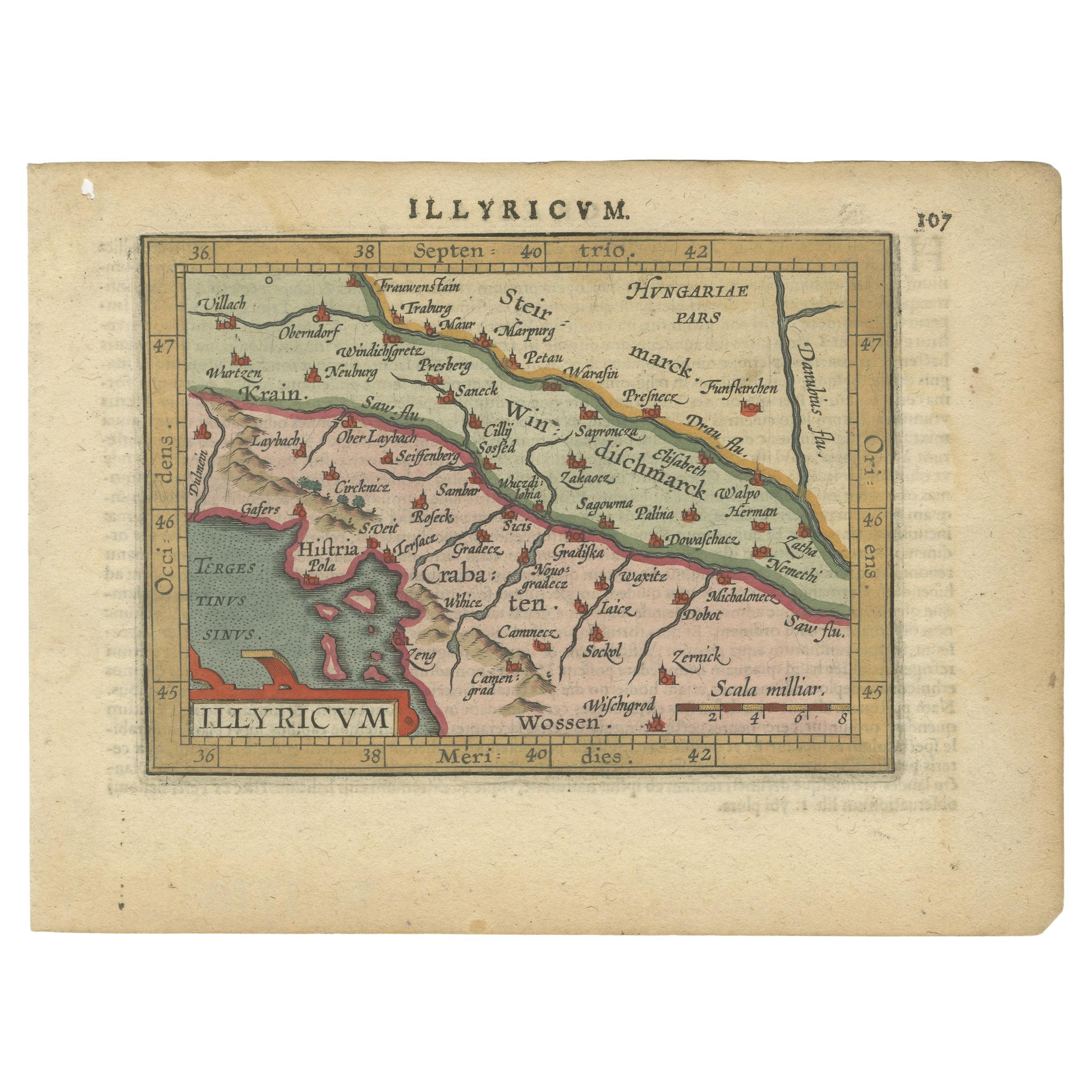
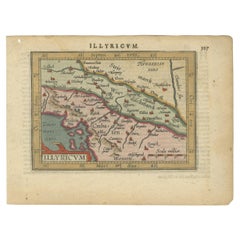
- Antique Miniature Map of the Roman Province of Illyricum 'Dalmatia'By Abraham OrteliusLocated in Langweer, NLAntique miniature map titled 'Illyricum'. Original small map of Illyricum. The Roman province of Illyricum stretched from the Drilon River (the Drin, in...Category
Antique Early 17th Century Maps
MaterialsPaper
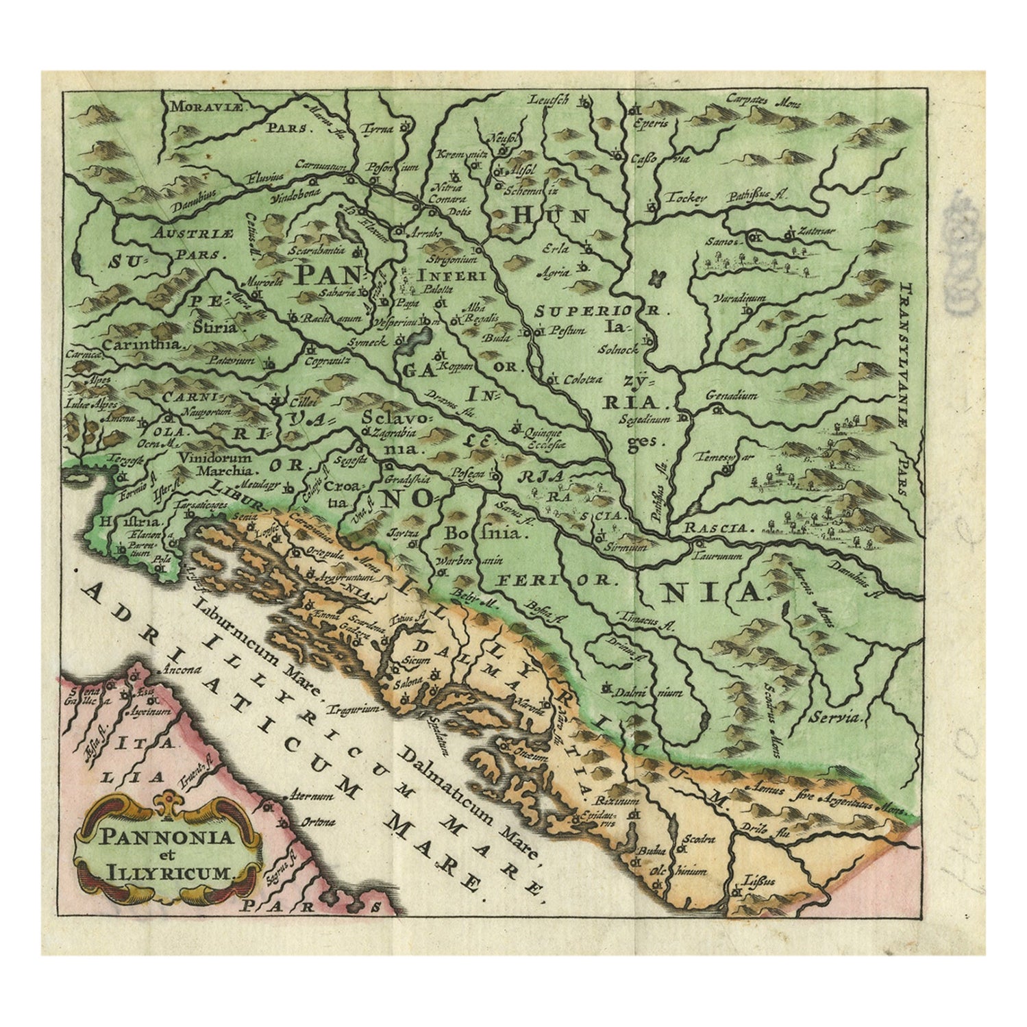
- Antique Map of Pannonia and Illyria by Cluver, 1685Located in Langweer, NLAntique map titled 'Pannonia et Illyricum.' Charming miniature map of Pannonia and Illyria, from the pocket atlas 'Introductionis in Universam Geographiam tam Veterem quam novam .. A...Category
Antique 17th Century Maps
MaterialsPaper
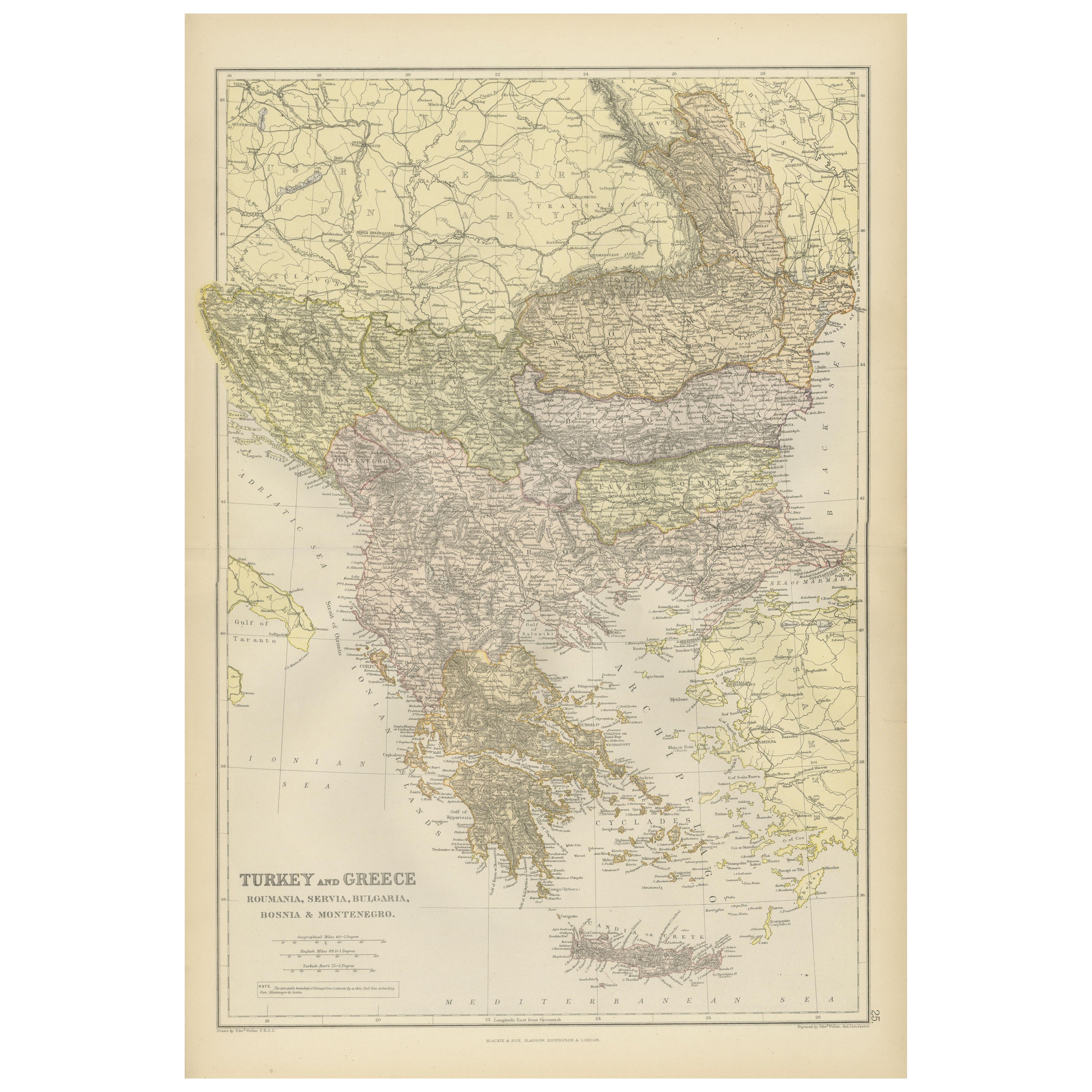
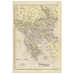
- Balkan Convergence: A Map of Turkey and Greece with the Balkan States, 1882Located in Langweer, NLThis map, "TURKEY AND GREECE including ROUMANIA, SERVIA, BULGARIA, BOSNIA & MONTENEGRO," extracted from Blackie & Son's 1882 atlas, captures the complex political and geographical la...Category
Antique 1880s Maps
MaterialsPaper
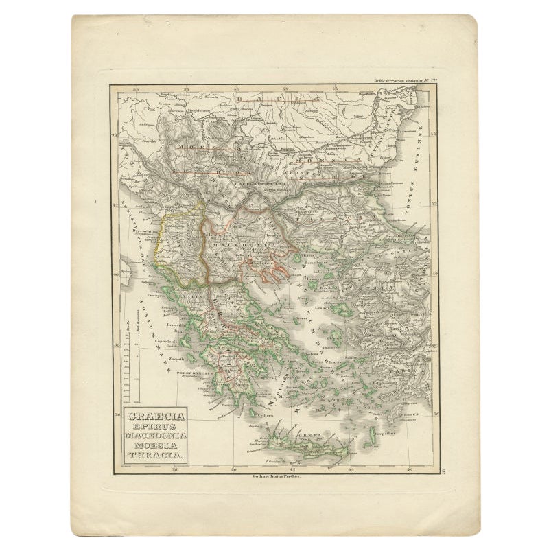
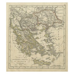
- Antique Map of Greece and Macedonia, 1848Located in Langweer, NLAntique map titled 'Graecia Epirus Macedonia Moesia Thracia'. Old map of Greece originating from 'Orbis Terrarum Antiquus in usum Scholarum'. Artists and Engravers: Published by Just...Category
Antique 19th Century Maps
MaterialsPaper
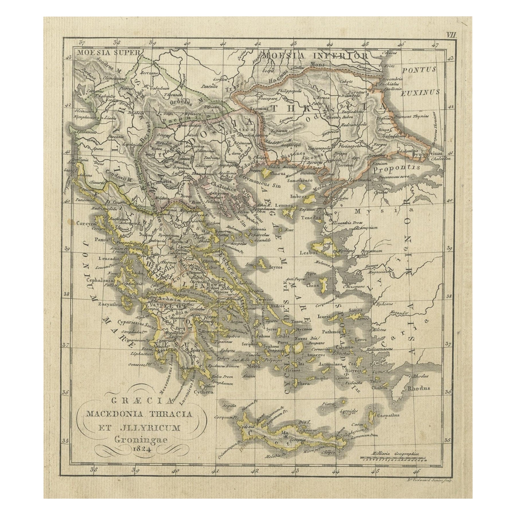
- Antique Map of Greece and Macedonia, 1825Located in Langweer, NLAntique map titled 'Graecia, Macedonia Thracia et Jllyricum'. Old map of Greece and Macedonia originating from 'Atlas der Oude Wereld'. Artists and Engravers: Published by C. Ph. Fun...Category
Antique 19th Century Maps
MaterialsPaper
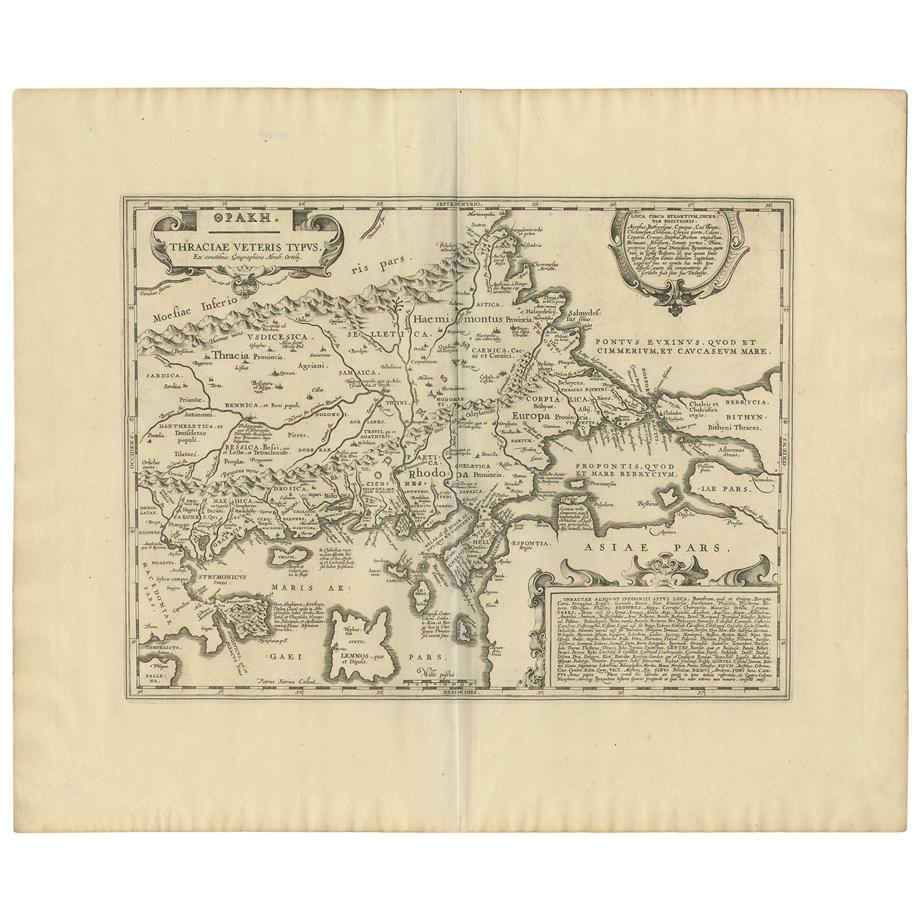
- Antique Map of Thracia ‘Greece’ by J. Janssonius, circa 1650Located in Langweer, NLThis antique map of Thracia is engraved and published by J. Janssonius after the cartographical sources by Abraham Ortelius. Ornated in the upper left corner with a title cartouche a...Category
Antique Mid-17th Century Maps
MaterialsPaper


You May Also Like
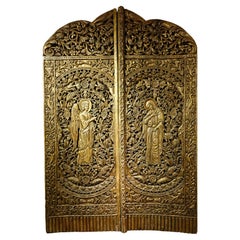
- Iconostasis door depicting the Annunciation, Balkans? 19th centuryLocated in PARIS, FRCarved and gilt wood door from an iconostasis representing the Annunciation to Mary by the archangel Gabriel. The word "iconostasis" comes from the Greek εἰκονοστάσι(-ον) (eikonostás...Category
Antique 1880s Balkan Napoleon III Religious Items
MaterialsGiltwood
- 18th Century Map of the Southern Balkans by Giovanni Maria CassiniBy Giovanni Maria CassiniLocated in Hamilton, Ontario18th century map by Italian engraver Giovanni Maria Cassini (Italy 1745-1824). Map of the Southern Balkans: Rome. Hand colored and copper engraved print done in the year 1788. It in...Category
Antique 18th Century Italian Maps
MaterialsPaper
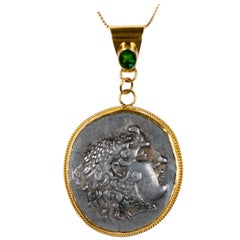
- Ancient Macedonian Alexander the Great Coin Set in 22 kt Gold & Emerald PendantLocated in Atlanta, GAAn Authentic Greek (Macedonian) Alexander the Great Tetradrachm Coin, 336-323 BC, set in a 22-karat gold bezel and Bail with an Emerald...Category
Antique 15th Century and Earlier Macedonian Classical Greek Collectible ...
MaterialsMetal, Gold
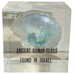
- Ancient Roman GlassLocated in Delray Beach, FLBeautiful original ancient Roman glass embedded in Lucite cube, was used for containing perfume. Exceptional object of art for display.Category
Antique 15th Century and Earlier Israeli Glass
MaterialsMurano Glass
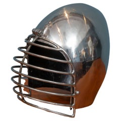
- Decorative Roman Style HelmetLocated in San Francisco, CADecorative Roman Style polished metal helmet. Fun accessory for your office or man cave. Heavy solid construction steel helmet, a great addition to your home decor.Category
Vintage 1970s American Hollywood Regency Arms, Armor and Weapons
MaterialsChrome
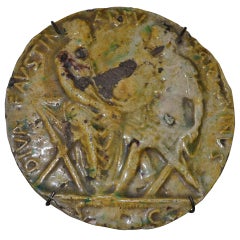
- 19th Century Roman Plaquette with Faustina and Antoninus PiusLocated in Copenhagen, KVery nice roman plaquette with inscription on it. The inscription says something with Diva Faustina and Antoninus. So it must be in reference or to coin...Category
Antique 19th Century European Greco Roman Historical Memorabilia
MaterialsCeramic