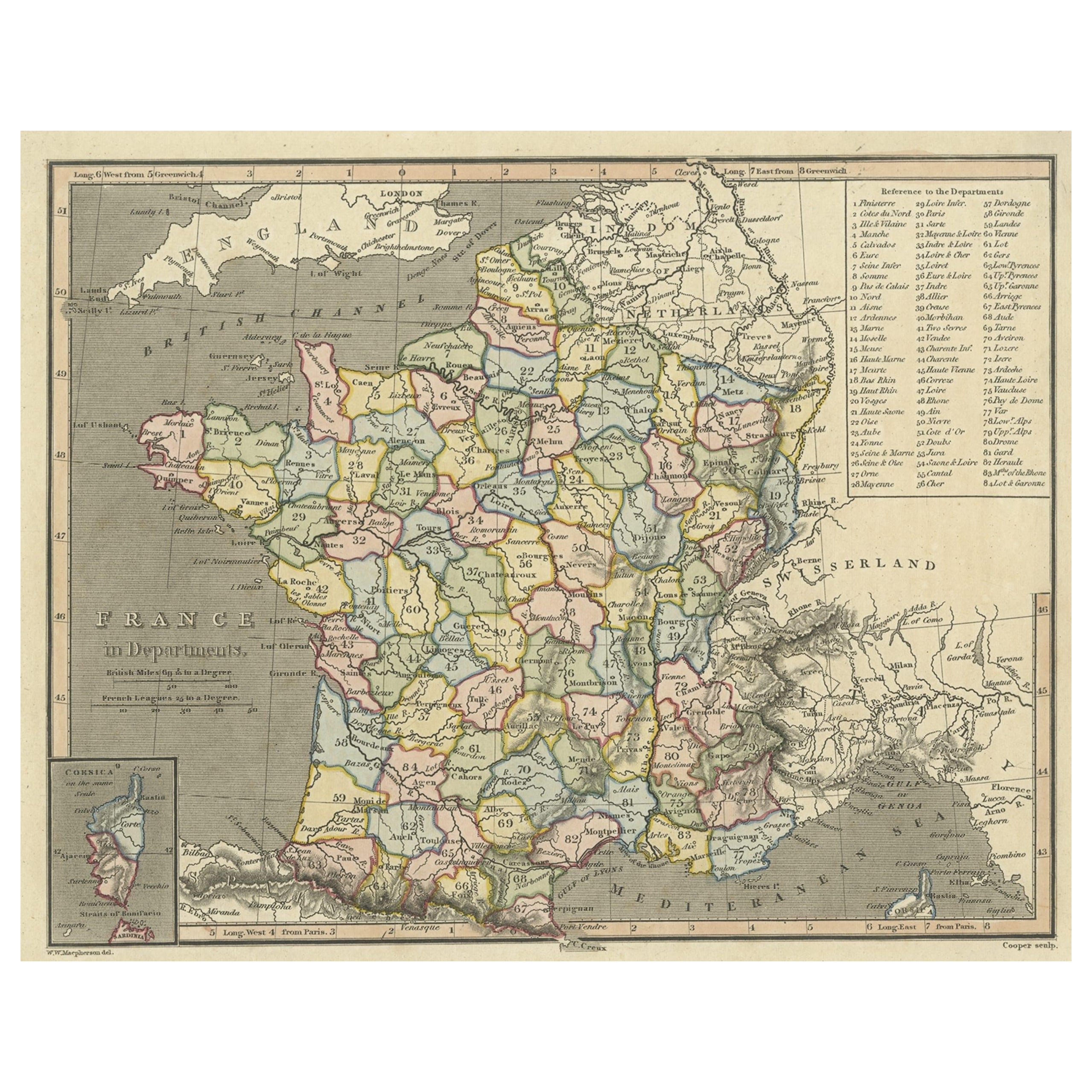
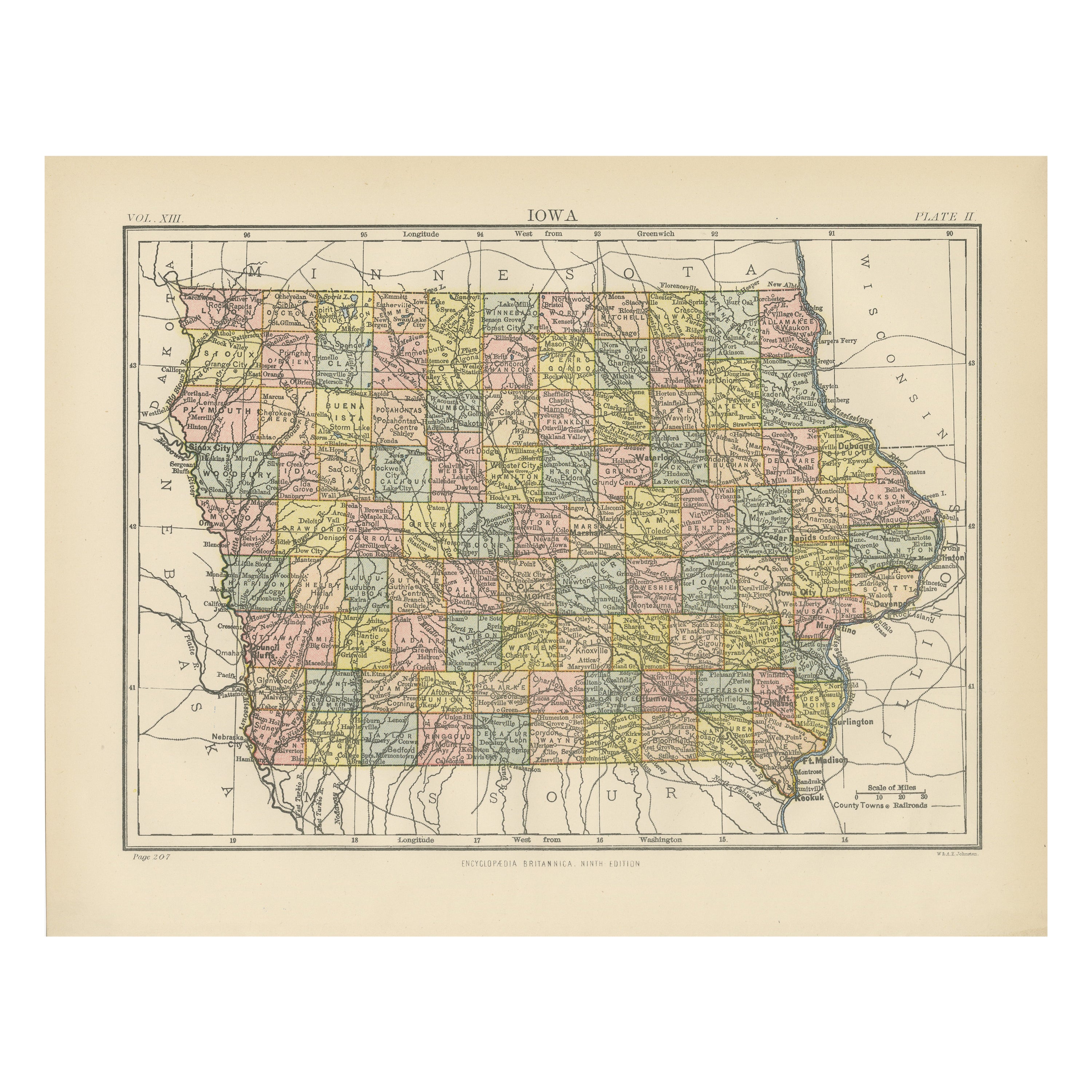
Map of Kolps Petalion
View Similar Items


1 of 2
Map of Kolps Petalion
About the Item
- Dimensions:Height: 29 in (73.66 cm)Width: 47 in (119.38 cm)Depth: 1.25 in (3.18 cm)
- Style:Industrial (In the Style Of)
- Place of Origin:
- Period:
- Date of Manufacture:20th Century
- Condition:Wear consistent with age and use.
- Seller Location:Chicago, IL
- Reference Number:Seller: HG1470101stDibs: LU87766821753
You May Also Like
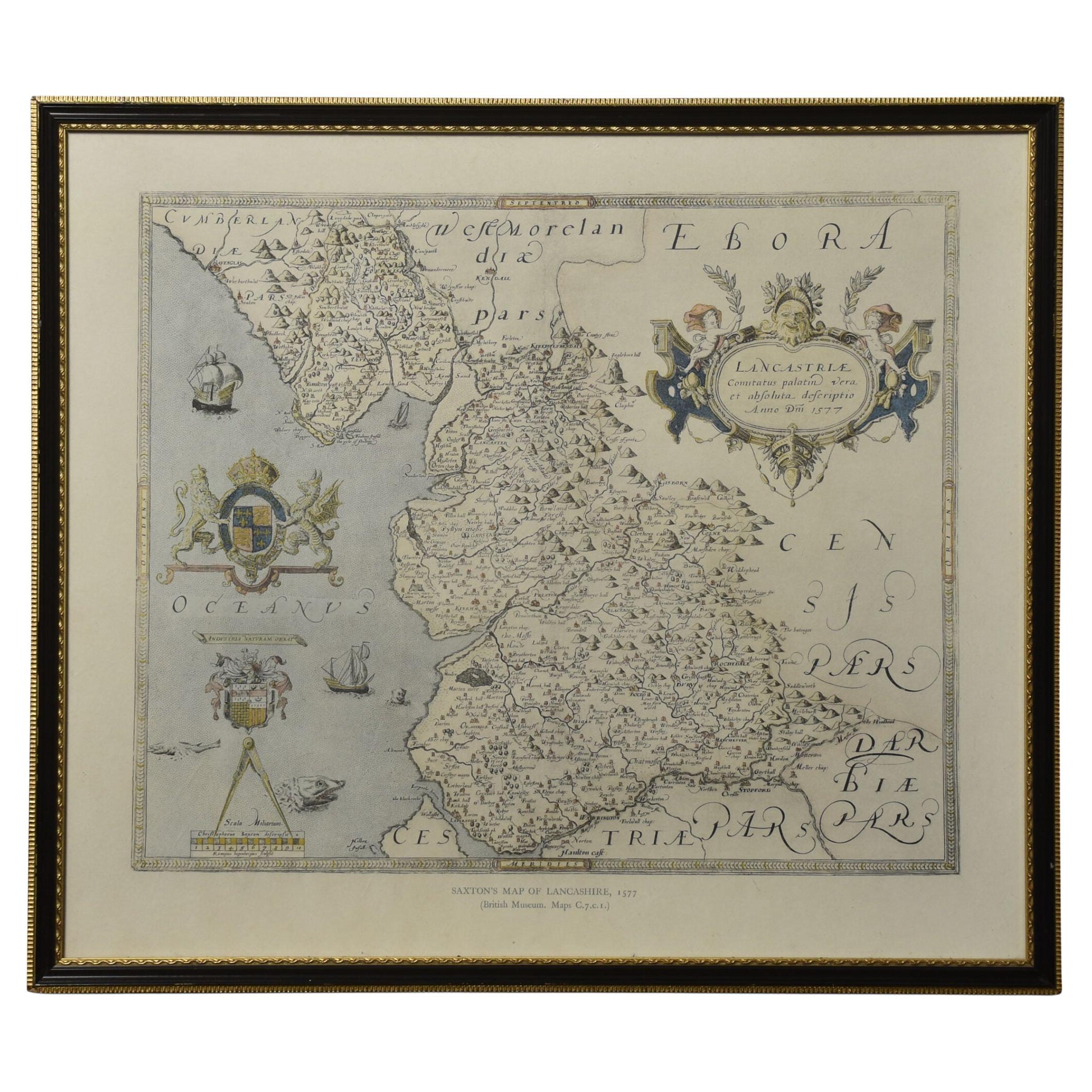
- Map of LancashireLocated in Cheshire, GBSaxton Map of Lancashire hand coloured. Encased in an ebonised frame. Dimensions Height 21 Inches Width 24 Inches Depth 1 InchesCategory
Early 20th Century British Maps
MaterialsPaper
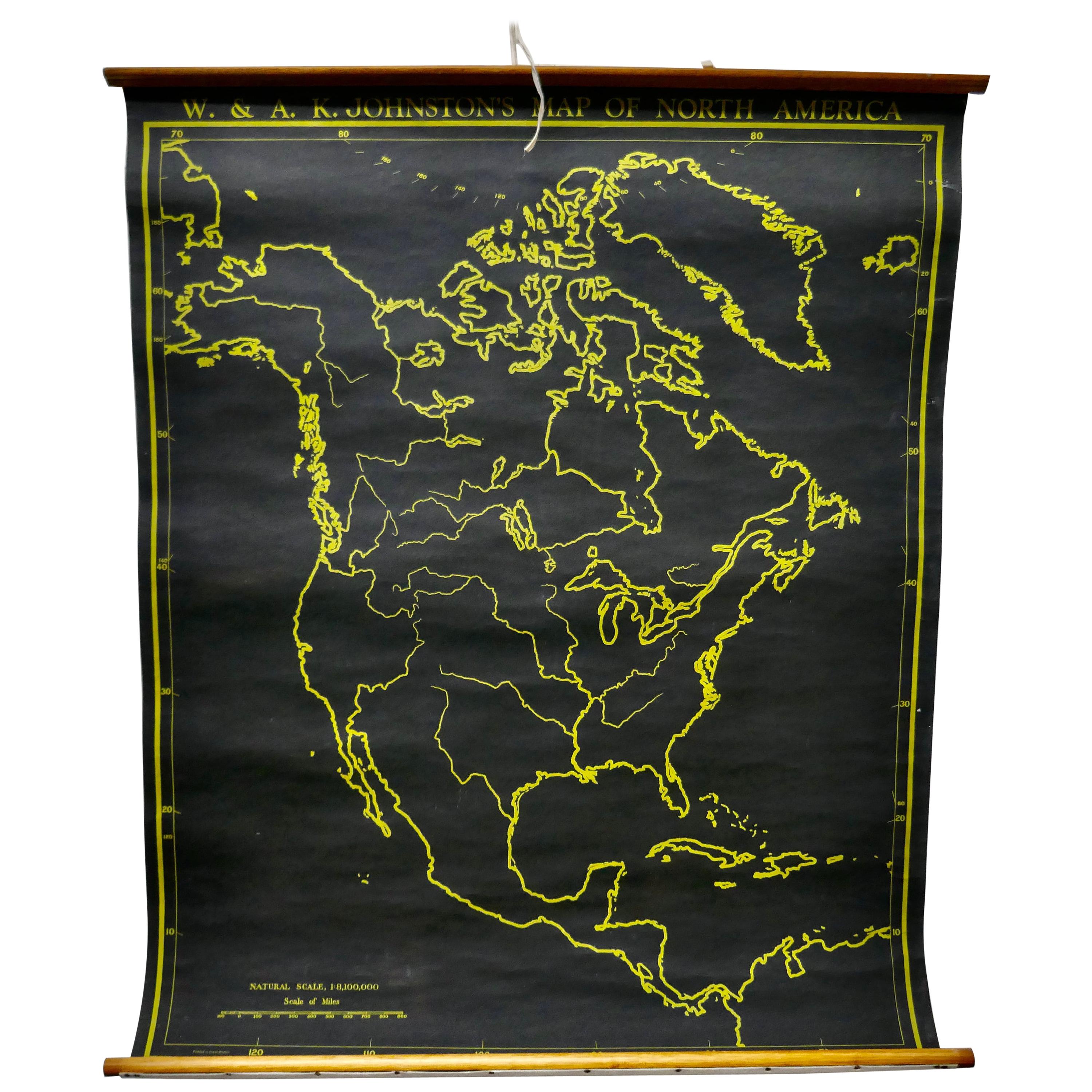
- University Chart “Black Map of North AmericaLocated in Chillerton, Isle of WightUniversity Chart “Black Map of North America W&A K Johnston’s Charts of Physical Maps By G W Bacon, This is a Black Physical map of North A...Category
Early 20th Century Industrial Maps
MaterialsLinen
- Antique Map of Greece with an Inset Map of Corfu, 1854Located in Langweer, NLAntique map titled 'Hellas or Greece'. Old map of Greece with an inset map of Corfu. This map orginates from 'General Atlas Of The World: Containing Upwards Of Seventy Maps (..)' by ...Category
Antique 19th Century Maps
MaterialsPaper
- Antique Map of Denmark with an Inset Map of Iceland, 1832Located in Langweer, NLAntique map titled 'Denmark'. Large map of Denmark with an inset map of Iceland. Artists and Engravers: Published by J. Arrowsmith in London, 1832. Condition: Good, general age...Category
Antique 19th Century Maps
MaterialsPaper
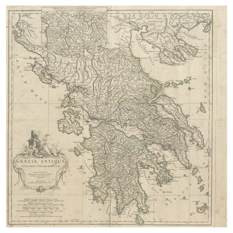
- Large Scale Map of Greece with Inset Map of Macedonia, c.1786Located in Langweer, NLAntique map titled 'Graeciae Antiquae'. Large scale map of Greece, extends south to the island of Cythera. Inset map shows details of Macedonia. Publis...Category
Antique 18th Century Maps
MaterialsPaper
- Antique Map of Wisconsin with Inset Geological Map of WisconsinLocated in Langweer, NLAntique map titled 'Wisconsin'. Original antique map of Wisconsin, United States. With inset geological map of Wisconsin. This print originates from '...Category
Antique Late 19th Century Maps
MaterialsPaper


