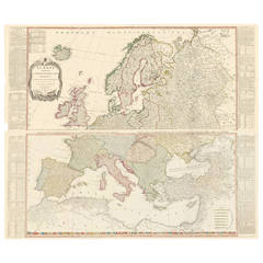
Two-Part Large Hand-Colored Map of Europe from 1798
View Similar Items


1 of 5
Two-Part Large Hand-Colored Map of Europe from 1798
About the Item
- Creator:Thomas Kitchin (Maker)
- Dimensions:Height: 42.5 in (107.95 cm)Width: 50 in (127 cm)Depth: 0.02 in (0.51 mm)
- Materials and Techniques:
- Place of Origin:
- Period:1790-1799
- Date of Manufacture:1798
- Condition:Wear consistent with age and use. has original creases.
- Seller Location:New York, NY
- Reference Number:Seller: 1275181stDibs: LU138222535362
You May Also Like
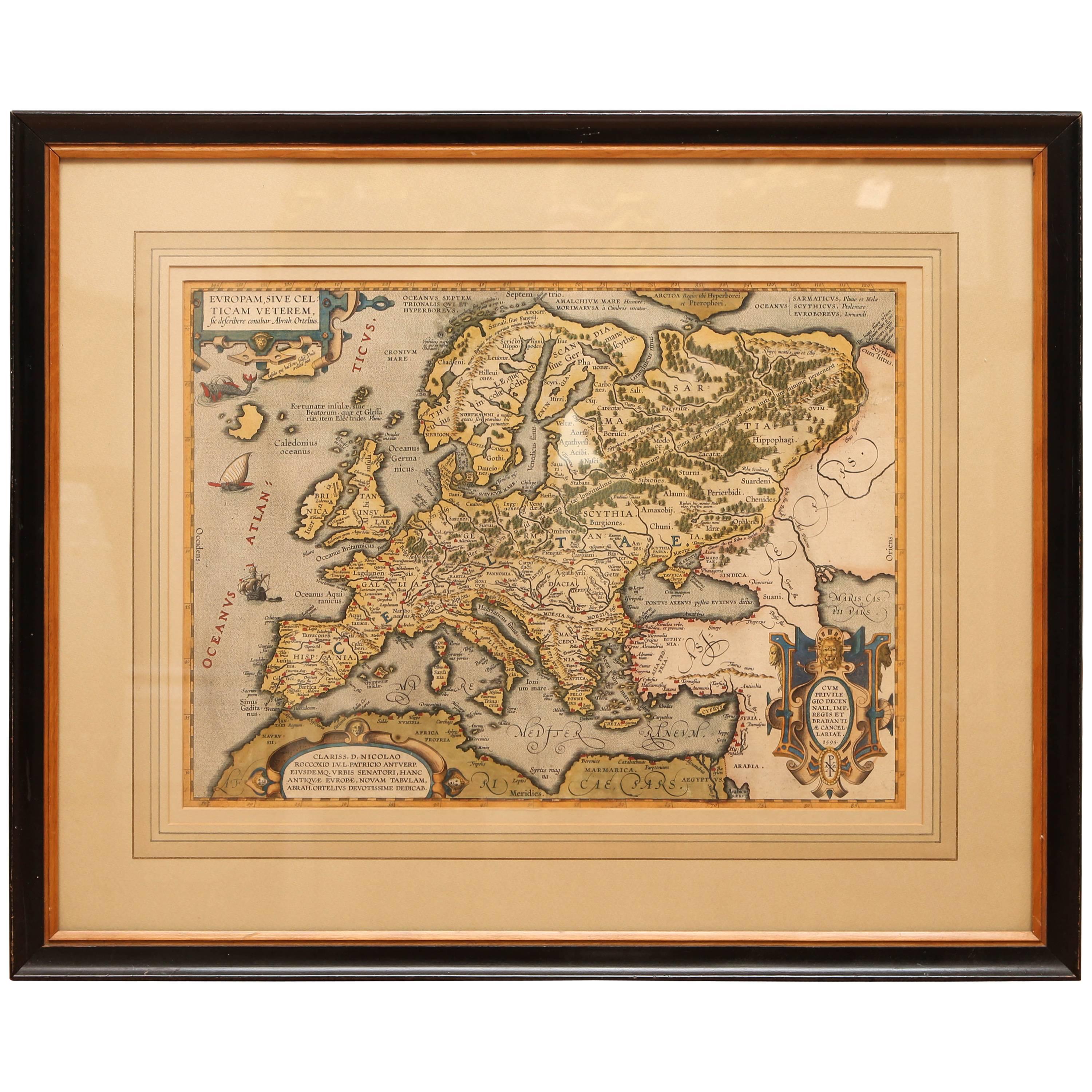
- Antique Hand Colored Framed Map of EuropeLocated in West Palm Beach, FLAntique reproduction copied from an edition dated 1595 by Ortelius.Category
Antique Late 19th Century Maps
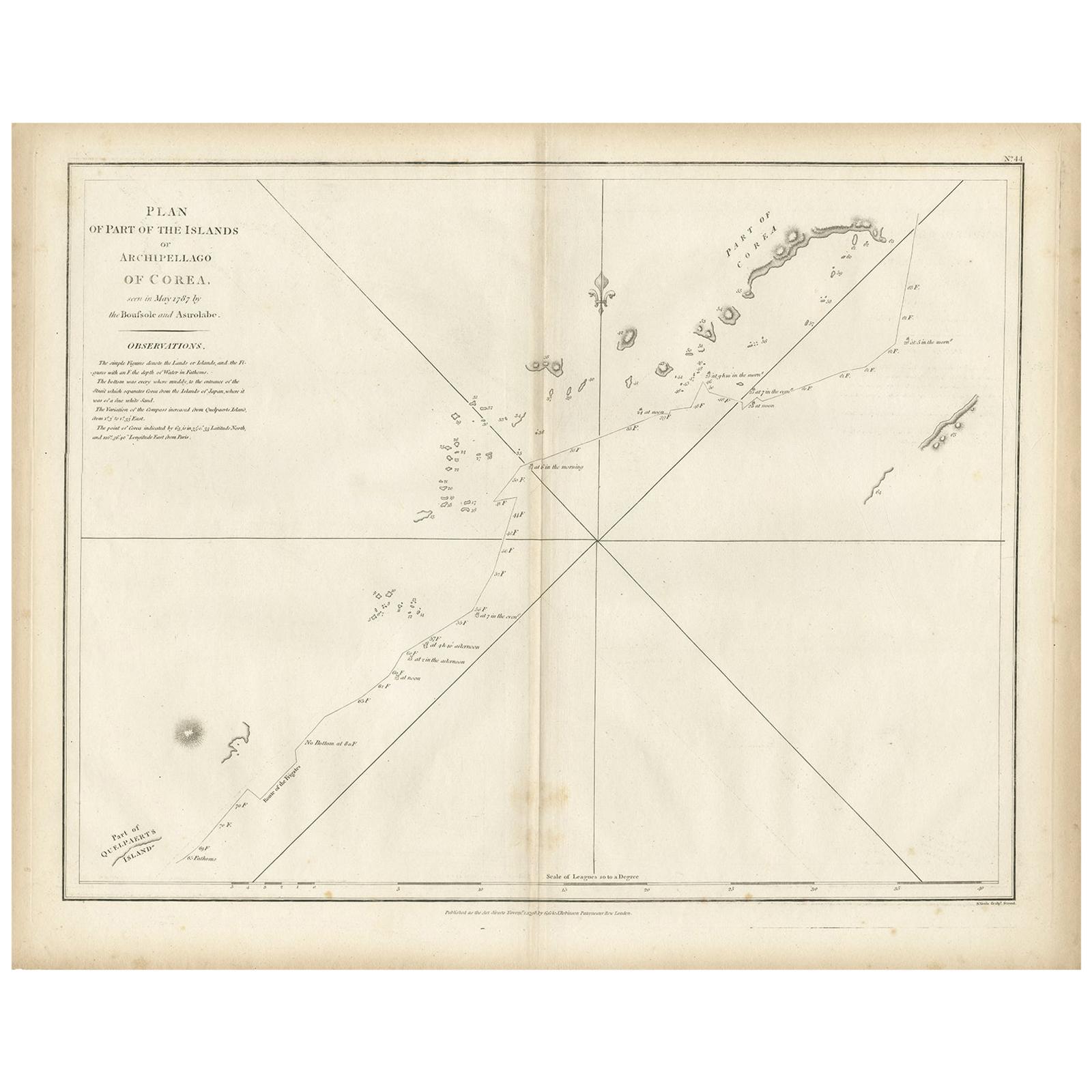
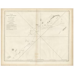
- Antique Map of Part of the Korean Archipelago, 1798Located in Langweer, NLAntique map titled 'Plan of Part of the Islands or Archipellago of Corea'. This map depicts part of the Korean Archipelago and originates from Charts and Plates to La Pérouse...Category
Antique Late 18th Century Maps
MaterialsPaper
 $481 Sale Price20% Off
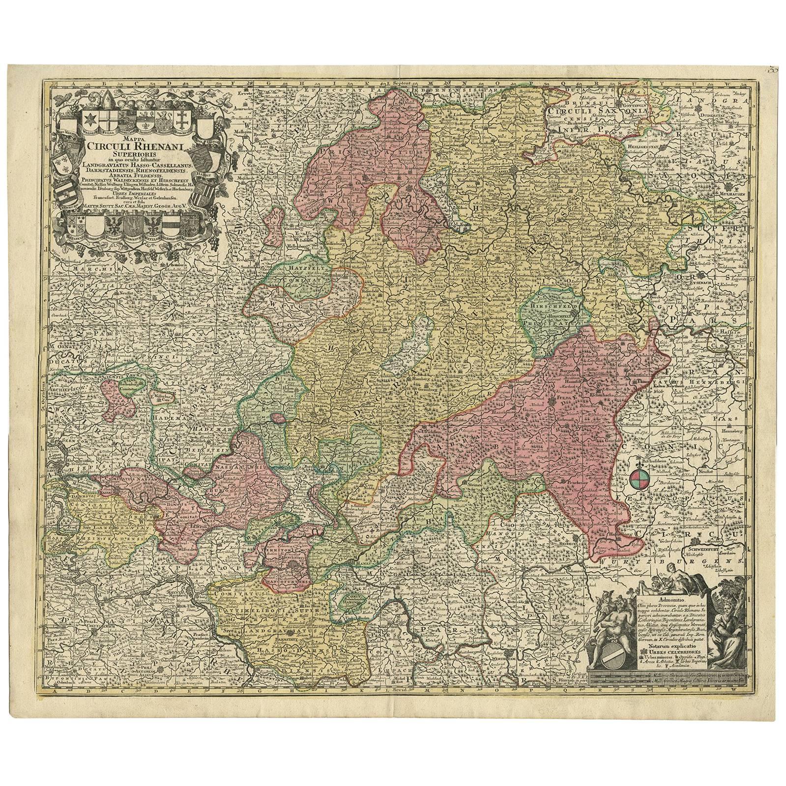
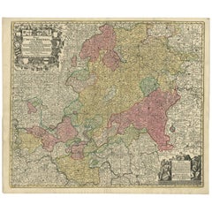
 - Hand-Colored Antique Map of part of Germany by M. Seutter, c. 1730By Matthew SeutterLocated in Langweer, NLAntique map titled 'Mappa Circuli Rhenani Superioris (..). Original map with hand coloring of part of Germany. It includes the region of Kassel, Göttingen, Eisenach, Schweinfurt, Wer...Category
Antique Mid-18th Century Maps
MaterialsPaper
 $516 Sale Price20% Off
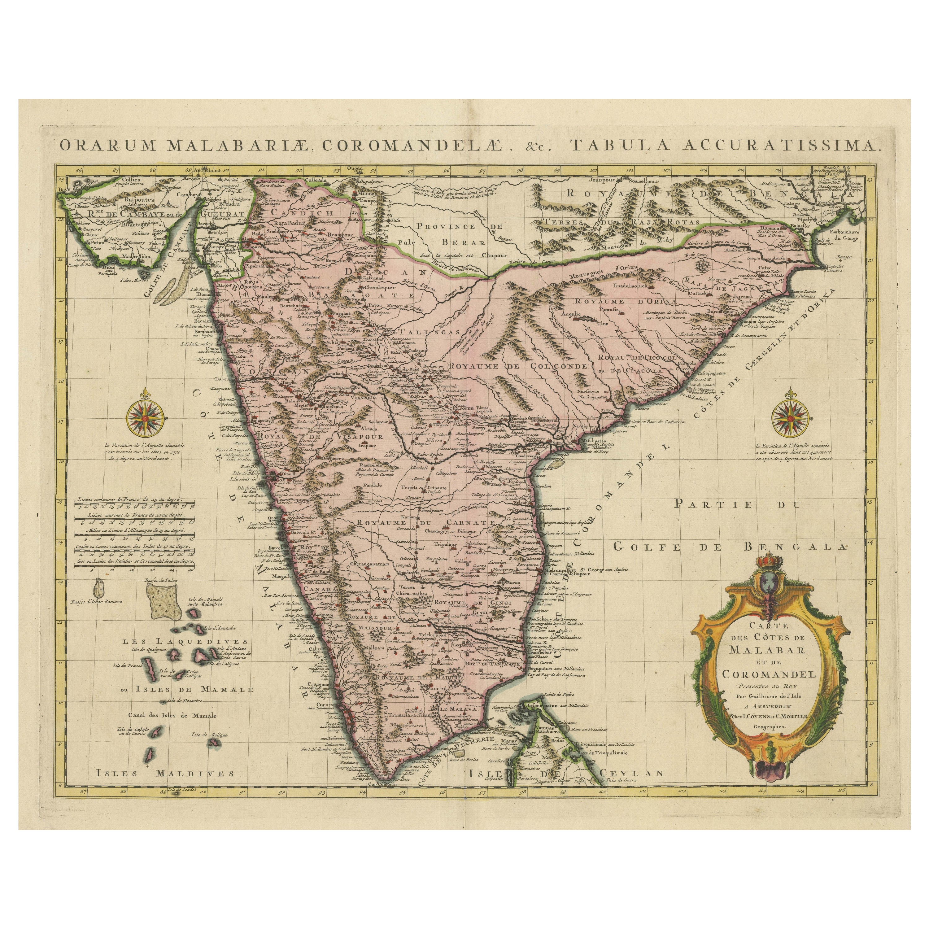
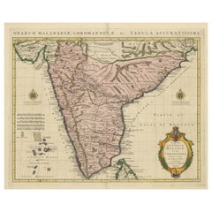
 - Original Hand-colored Antique Map of the Southern Part of IndiaLocated in Langweer, NLAntique map titled 'Orarum Malabariae, Coromandelae &c Tabula Accuratissima - Carte des Cotes de Malabar et de Coromandel'. Beautiful map of the southern part of India. It focuses on...Category
Antique Early 18th Century Maps
MaterialsPaper
 $797 Sale Price20% Off
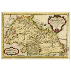
 - Nicely Hand-Colored Antique Map of Part of India, the Ganges & Hindustan, 1755Located in Langweer, NLAntique map titled 'Carte de l'Inde en deca du Gange comprenant l' Indoustan (..)' A map of part of India, the Ganges and Hindustan. From: Antoine Francois Prevost d'Exiles' (or ...Category
Antique 1750s Maps
MaterialsPaper
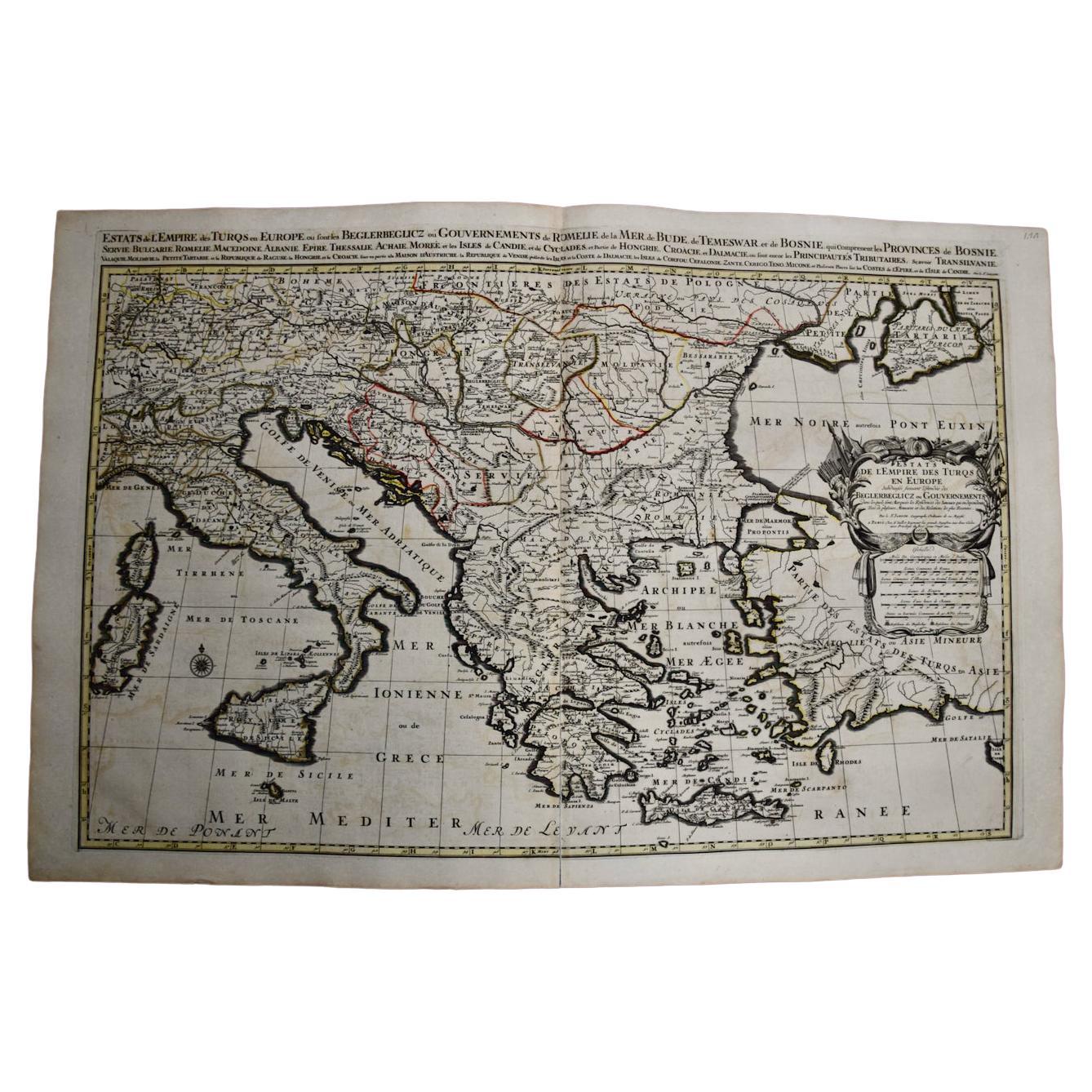
- Southern & Eastern Europe: A Large 17th C. Hand-colored Map by Sanson & JaillotBy Nicolas SansonLocated in Alamo, CAThis large hand-colored map entitled "Estats de L'Empire des Turqs en Europe, ou sont les Beglerbeglicz our Gouvernements" was originally created by Nicholas Sanson d'Abbeville and t...Category
Antique 1690s French Maps
MaterialsPaper