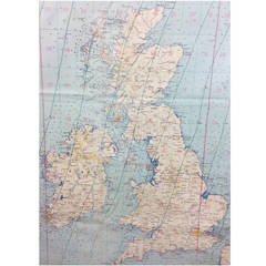
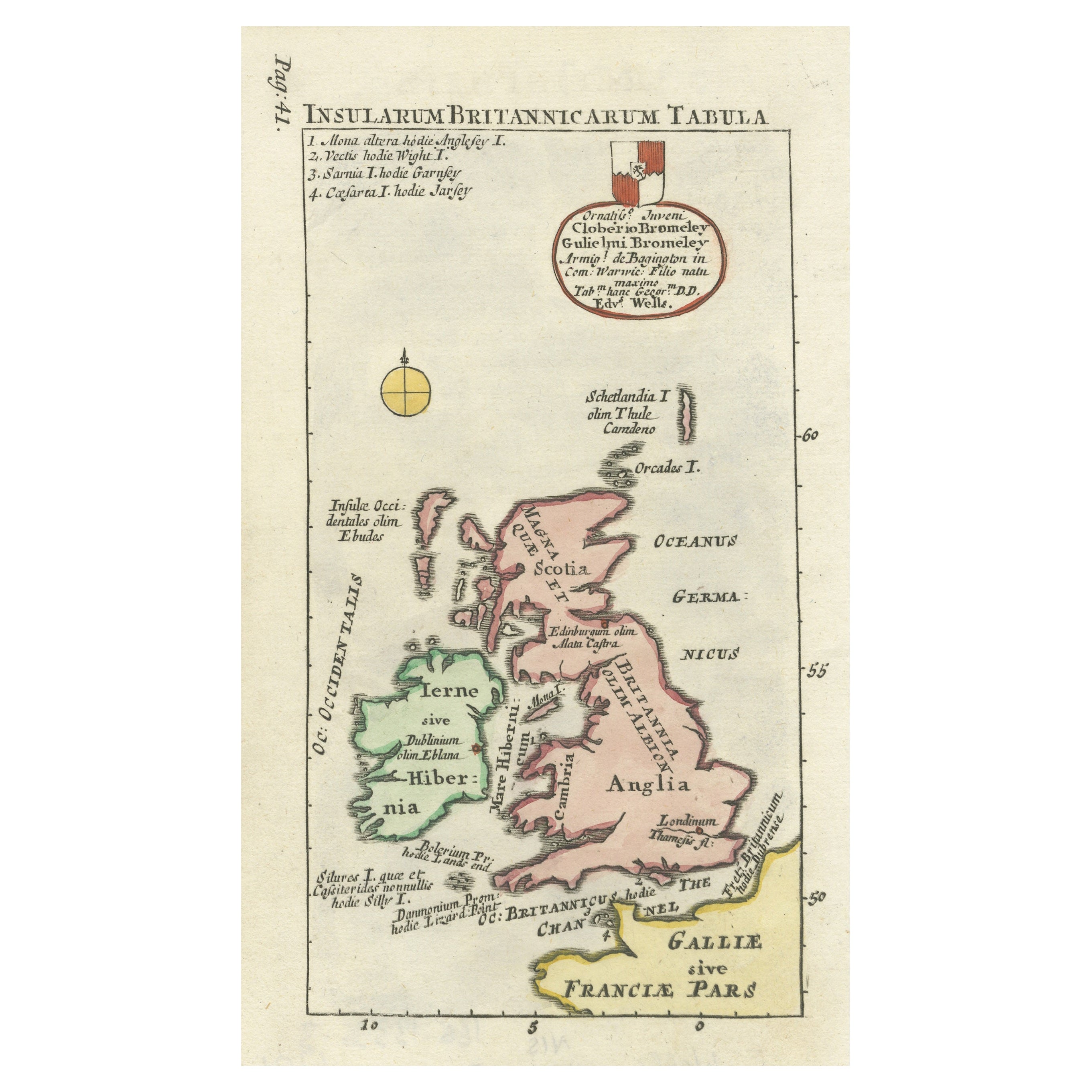
Battle of Britain Era Map of the British Isles Produced for the Luftwaffe
View Similar Items


1 of 8
Battle of Britain Era Map of the British Isles Produced for the Luftwaffe
About the Item
- Dimensions:Height: 42.92 in (109 cm)Width: 48.04 in (122 cm)Depth: 0.04 in (1 mm)
- Style:Edwardian (Of the Period)
- Place of Origin:
- Period:
- Date of Manufacture:circa 1939
- Condition:Wear consistent with age and use. Minor fading. Some fold marks and light fading. This could be rectified by mounting it and placing it behind glass.
- Seller Location:Glamis, GB
- Reference Number:Seller: JW/15/1001stDibs: LU100052765462
You May Also Like
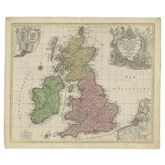
- Antique Map of the British Isles by H. Chatelain, 1719By Henri-Abraham ChatelainLocated in Langweer, NLBeautiful hand colored large format map of the British Isles, with large insets of the Eastern and Western Hemispheres and the coats of arms for Engl...Category
Antique Early 18th Century Maps
MaterialsPaper
 $618 Sale Price24% Off
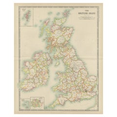
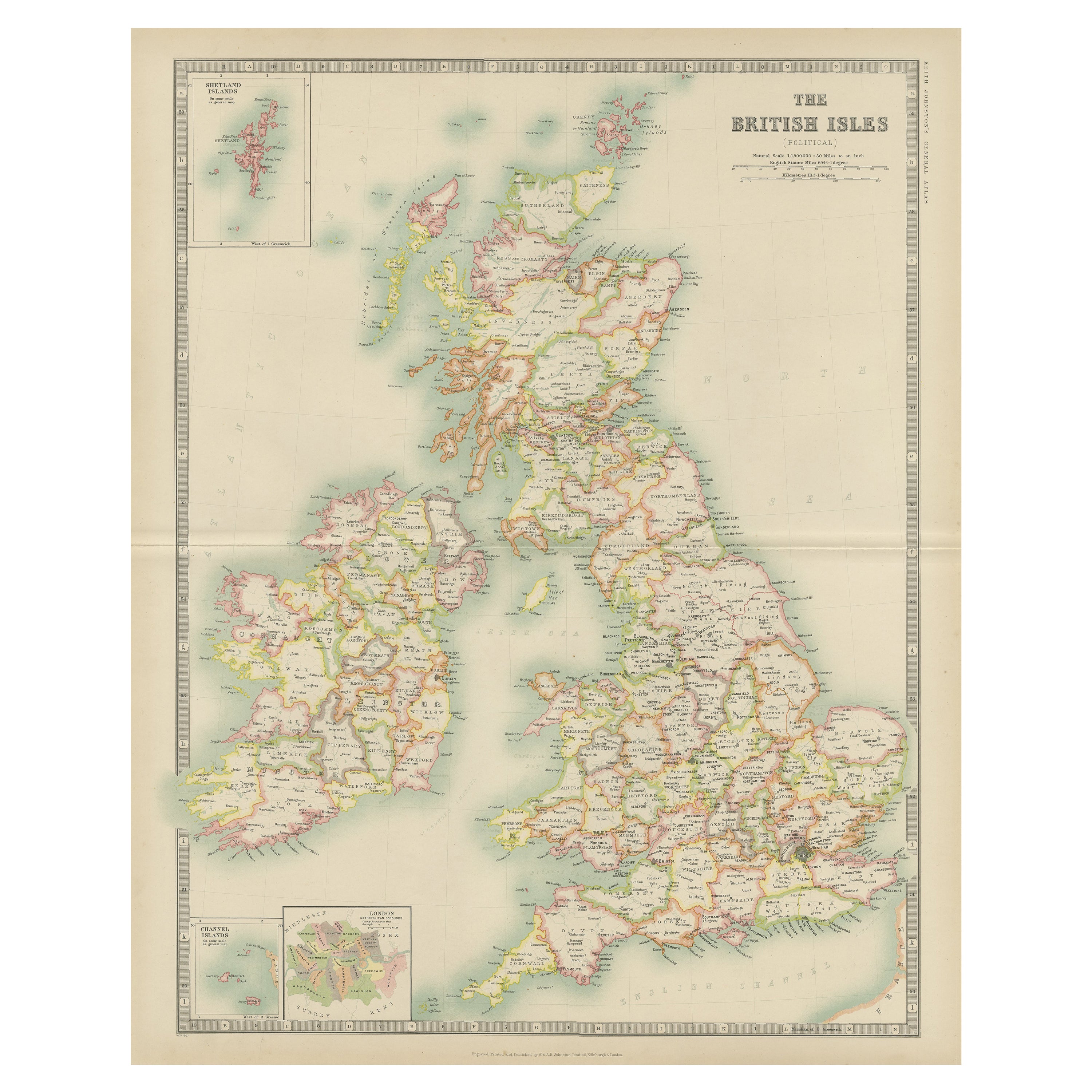
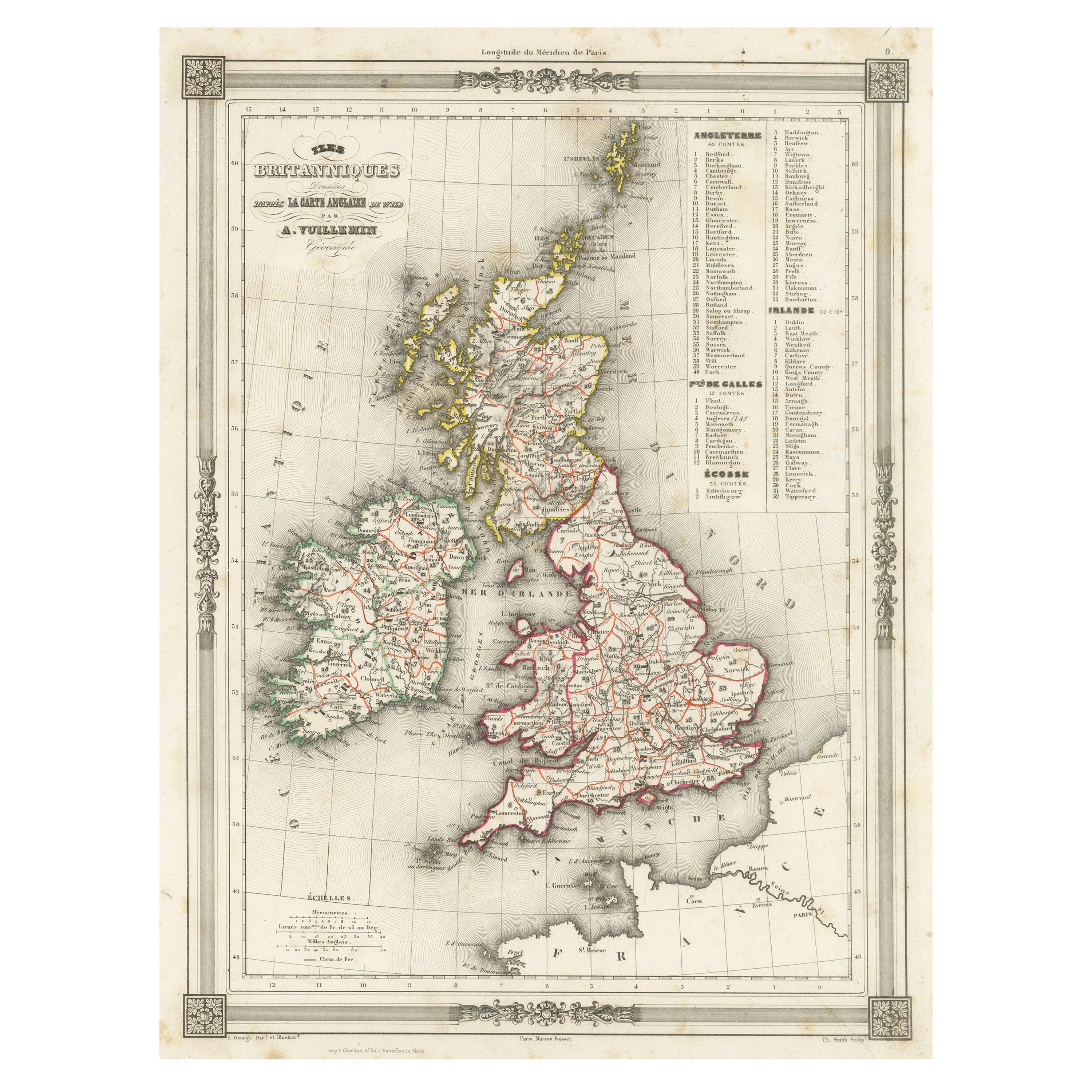
 - Antique Map of the British Isles by Johnston '1909'Located in Langweer, NLAntique map titled 'The British Isles'. Original antique map of the British Isles. With inset maps of the Shetland Islands, Chanel Islands, and London. T...Category
Early 20th Century Maps
MaterialsPaper
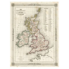
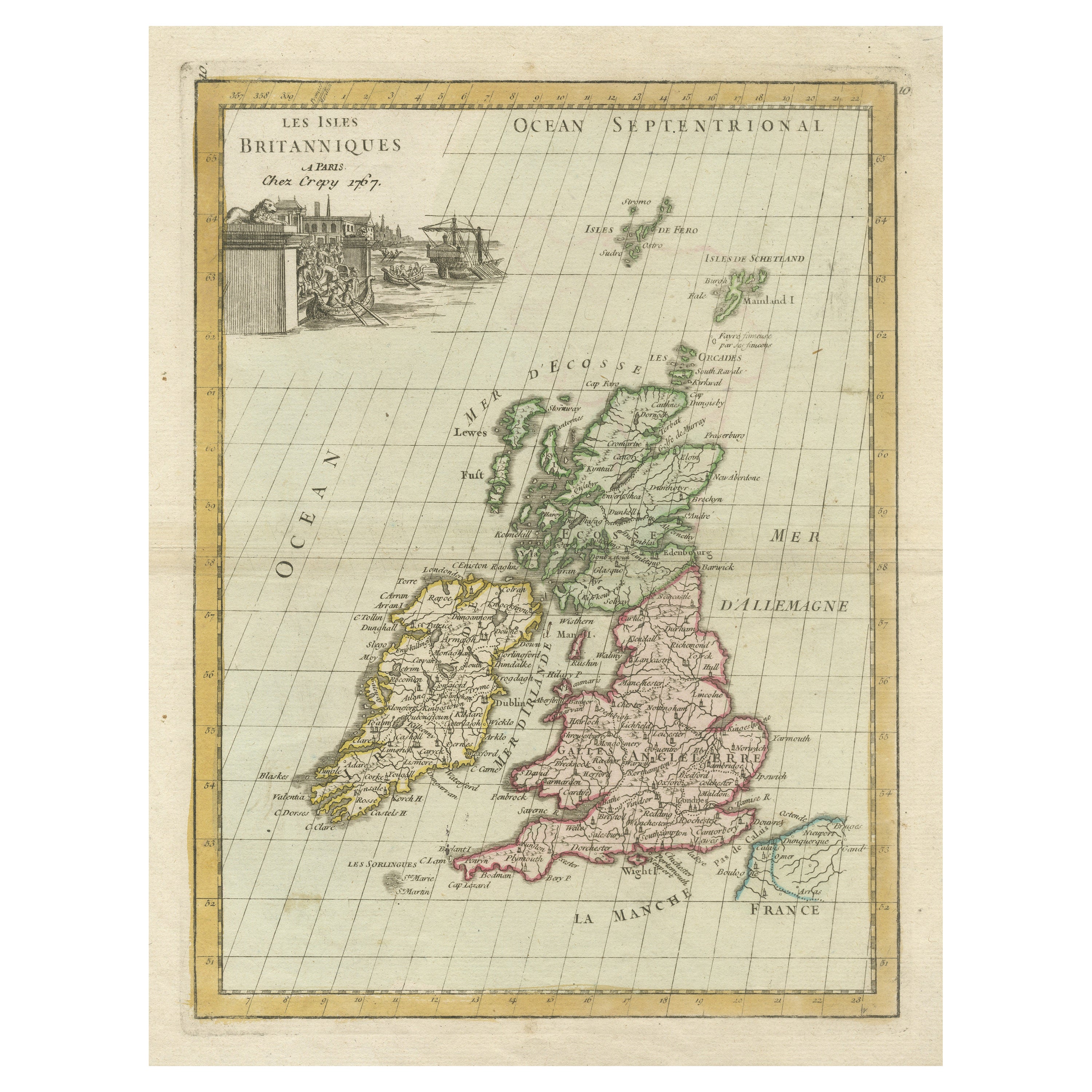
- Antique Map of the British Isles by Delamarche, 1806Located in Langweer, NLAntique map titled 'Les Isles Britanniques.' Decorative map of the British Isles by Robert de Vaugondy, revised and published by Delamarche. Source unkno...Category
Antique 19th Century Maps
MaterialsPaper
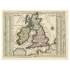
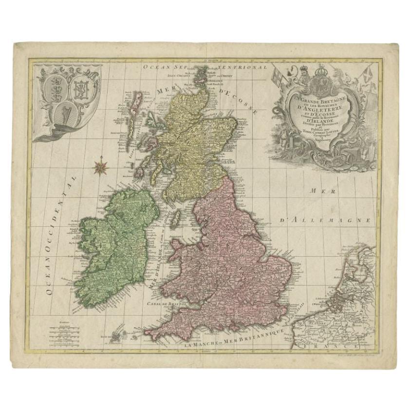
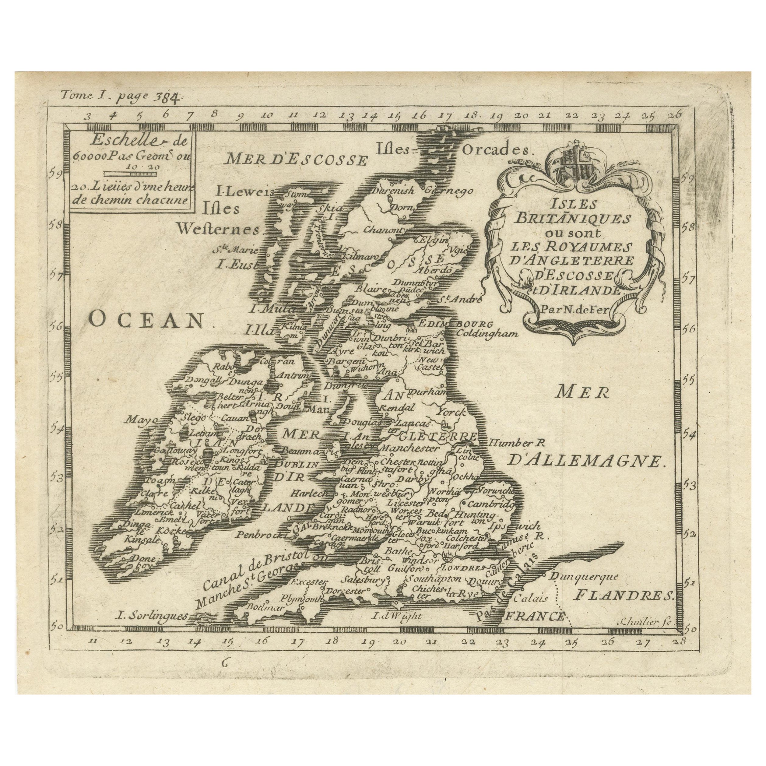
- Antique Map of the British Isles by Lotter, 1764Located in Langweer, NLAntique map titled 'Le Grand Bretagne ou les Royaumes d'Angleterre et d'Ecosse'. Old engraved map of the British Isles (main islands United Kingdom & Ire...Category
Antique 18th Century Maps
MaterialsPaper
- Antique Map of the British Isles with Outline ColoringLocated in Langweer, NLAntique map titled 'Iles Britanniques'. Attractive map of the British Isles. Details England, Scotland and Ireland as well as parts of neighboring France. Upper right corner features...Category
Antique Mid-19th Century Maps
MaterialsPaper
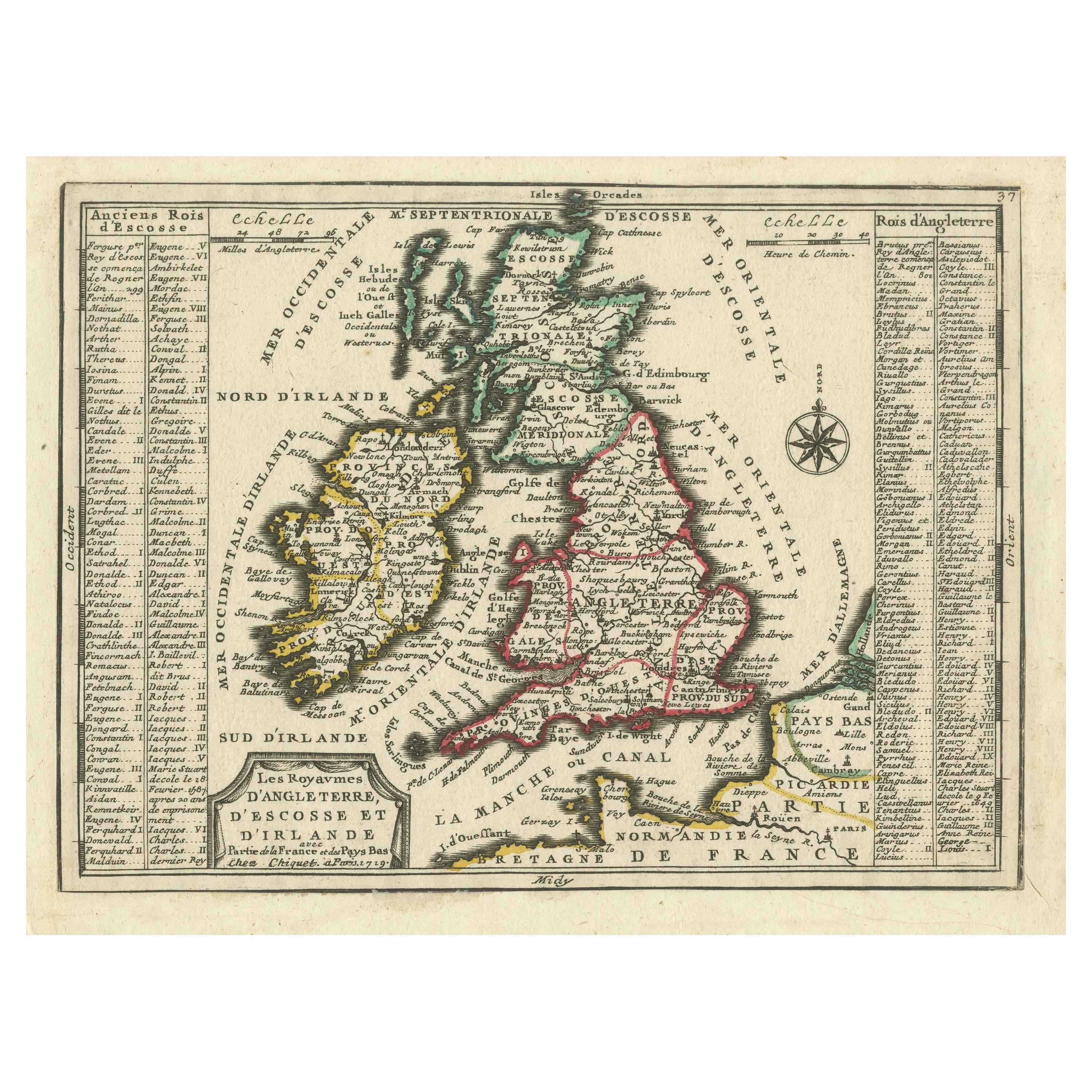
- Map of the British Isles with Historical Kings, 1719Located in Langweer, NLThis antique map, titled "Les Royaumes d'Angleterre d'Escosse et d'Irlande," offers a detailed view of the British Isles, including England, Wales, Scotland, and Ireland. Additionall...Category
Antique Early 18th Century Maps
MaterialsPaper