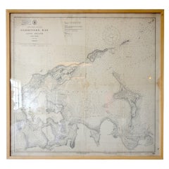
Framed Vintage Nautical Map of Gardiners Bay Long Island
View Similar Items

1 of 3
Framed Vintage Nautical Map of Gardiners Bay Long Island
About the Item
- Dimensions:Height: 32.5 in (82.55 cm)Width: 34.25 in (87 cm)Depth: 3 in (7.62 cm)
- Place of Origin:
- Period:
- Date of Manufacture:20th Century
- Condition:Vintage.
- Seller Location:Houston, TX
- Reference Number:1stDibs: U120813911677
You May Also Like
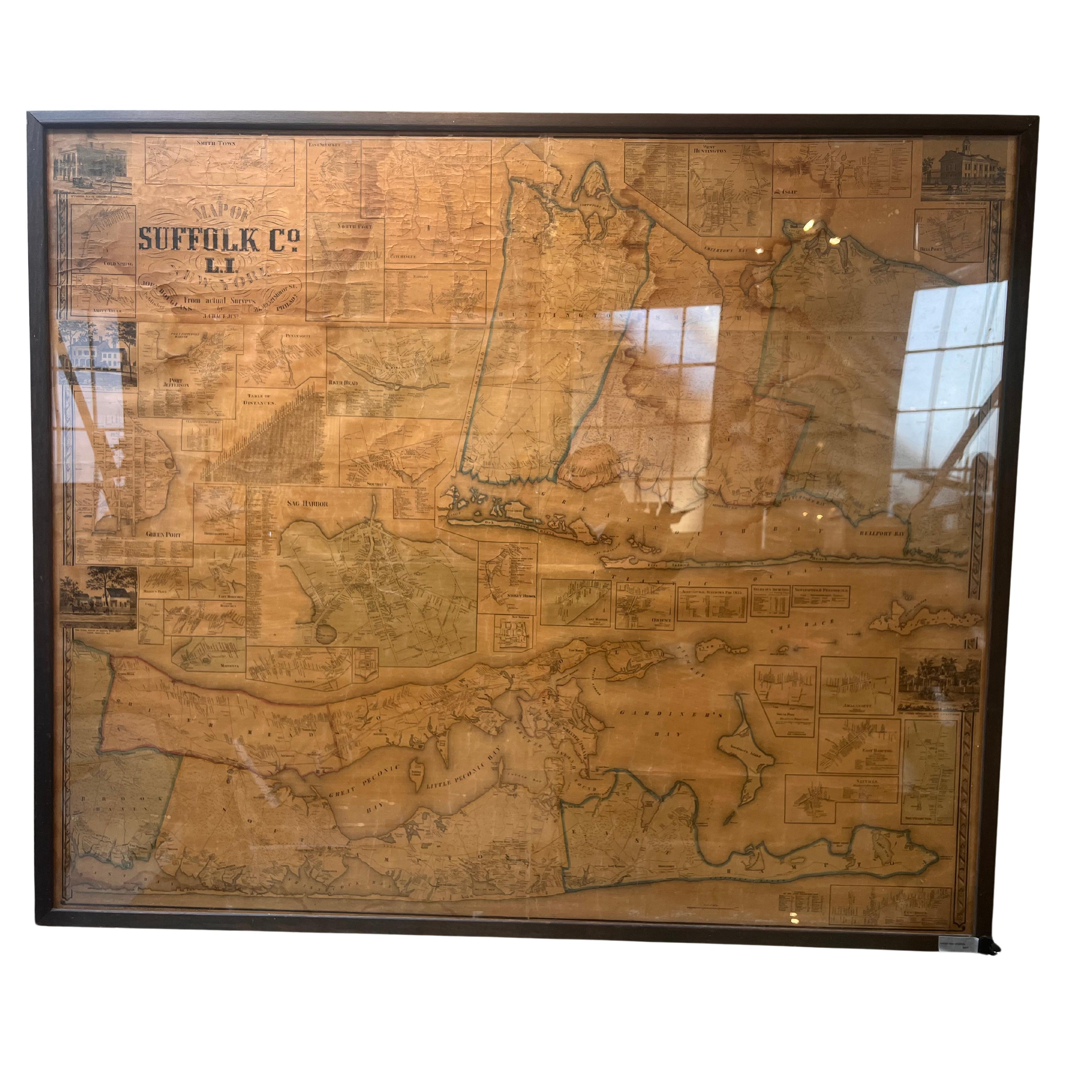
- Framed Mid-19th Century Wall Map of Long Island, the HamptonsLocated in Sag Harbor, NYA Framed museum quality find. This large wall map dates to the mid-1800s. Detailed inset maps of, Sag Harbor, East Hampton, Amagansett, Shelter Island and most villages in Long Islan...Category
Antique Mid-19th Century American Maps
MaterialsLinen, Paper
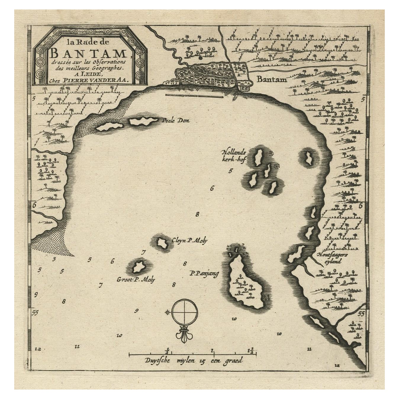
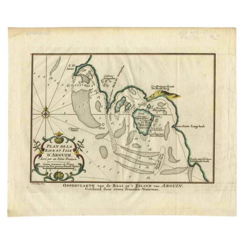
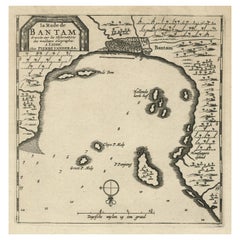
- Antique Map of Banten Bay on Java Island, Indonesia, c.1720Located in Langweer, NLAntique map titled 'La Rade de Bantam'. A small early 18th century black and white map of Banten Bay (or Bantam Bay), located near the northwest co...Category
Antique 18th Century Maps
MaterialsPaper
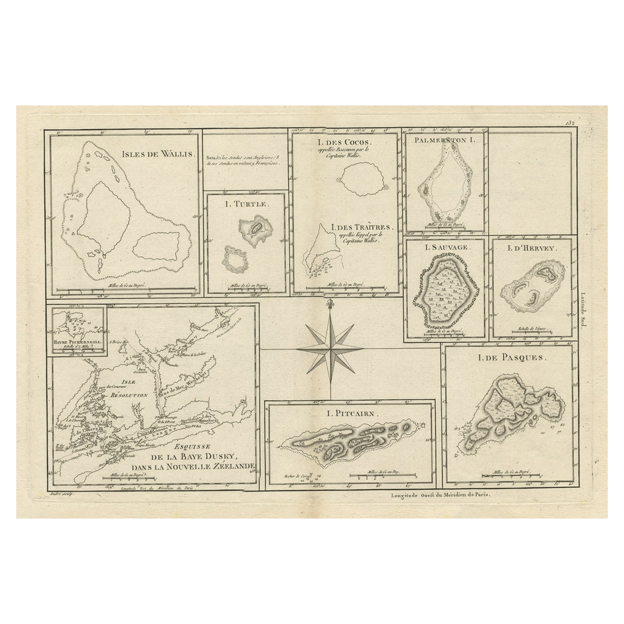
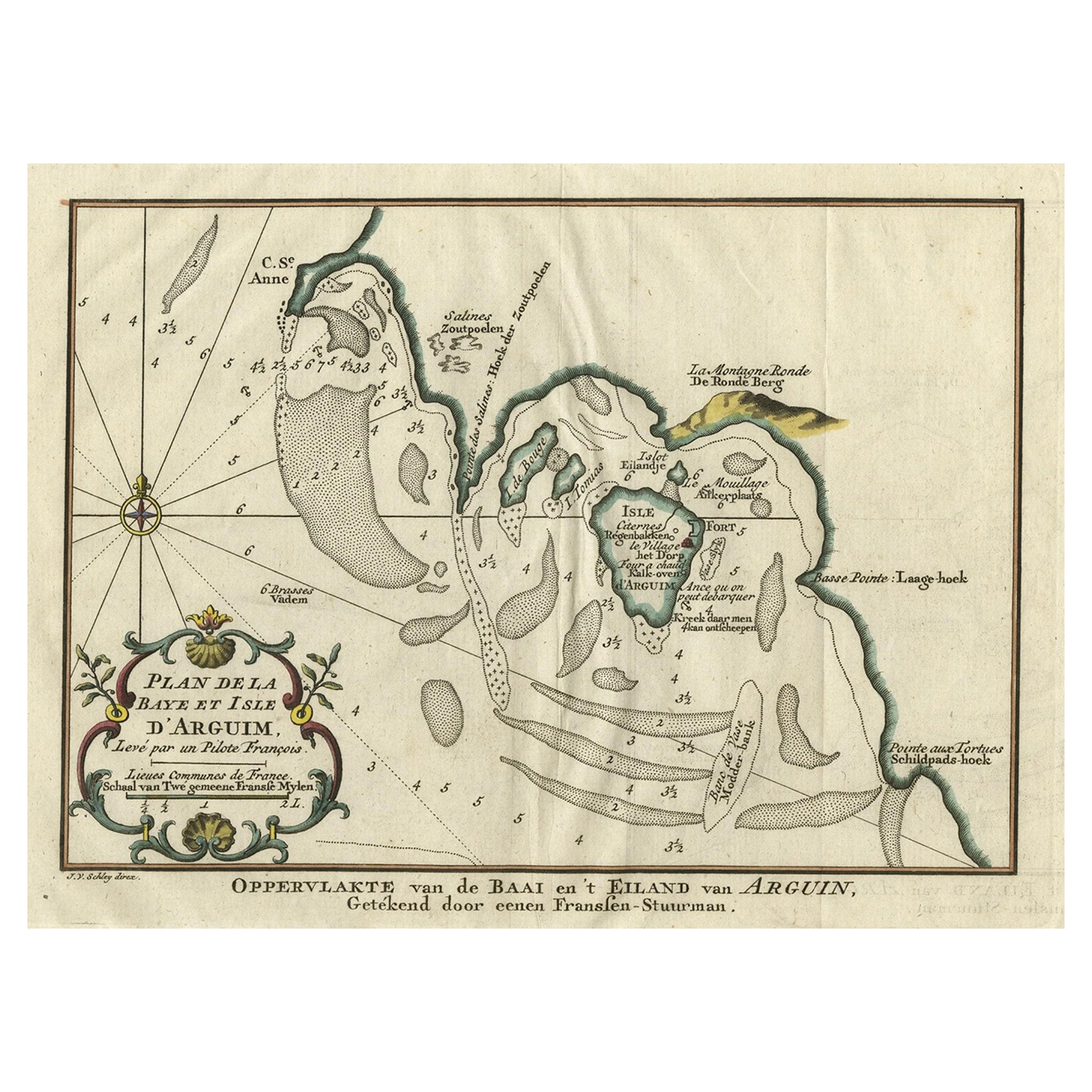
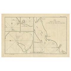
- Antique Map of Juan Fernandez Island and Cumberland Bay, Chile - c. '1749'Located in Langweer, NLAntique map titled 'Plan de la Côte du N.E. de l 'Ile de Juan Fernandes - Schets van den Noord-Oost kant van het eiland Juan Fernandes '. This map depicts the northeast coast of the ...Category
Antique Mid-18th Century Maps
MaterialsPaper
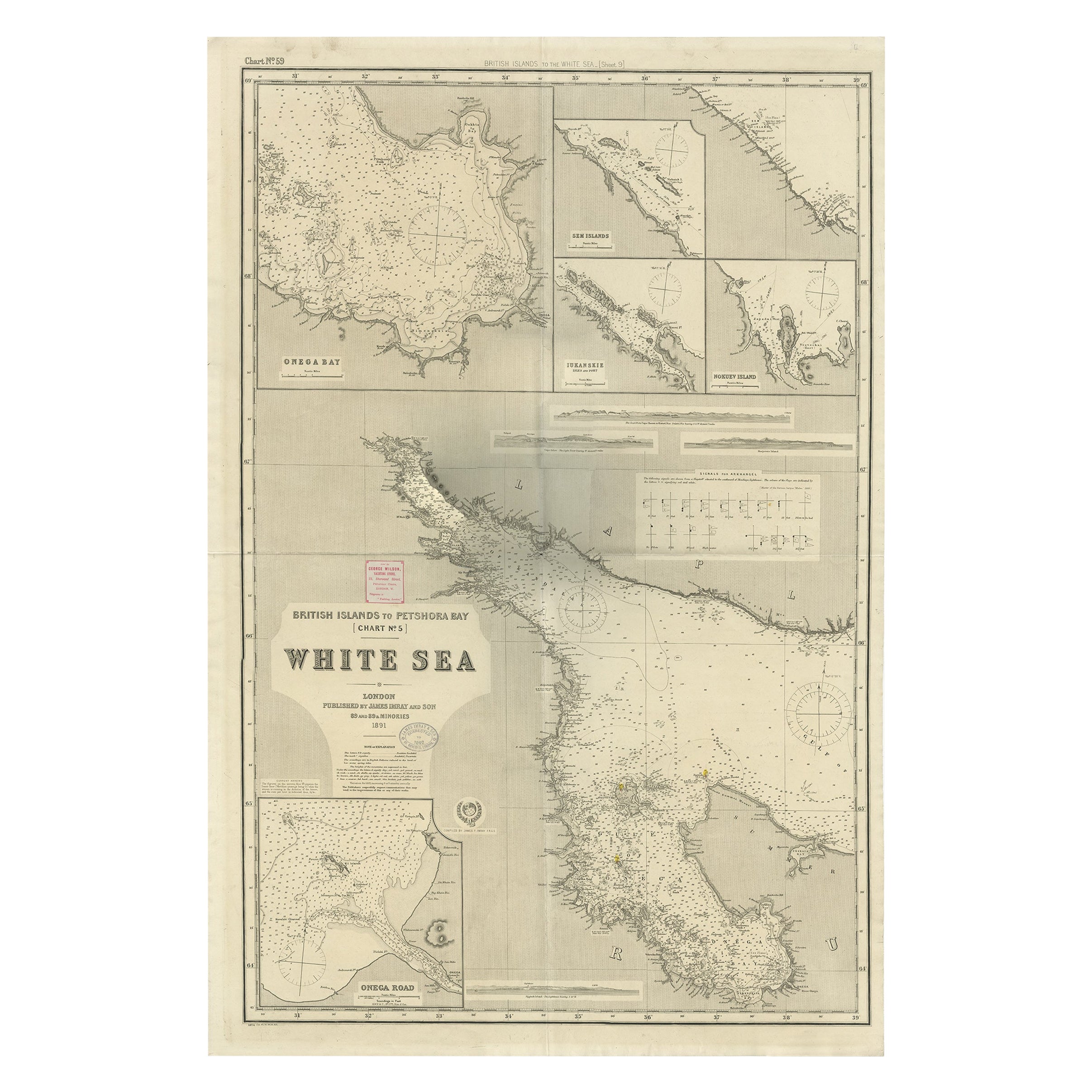
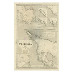
- Uncommon, Large Map of the British Islands to Petshora Bay, 1891Located in Langweer, NLAntique map titled 'British Islands to Petshora Bay - White Sea'. Uncommon, large map of the British Islands to Petshora Bay. It shows the White Sea and inse...Category
Antique 1890s Maps
MaterialsPaper
 $1,020 Sale Price20% Off
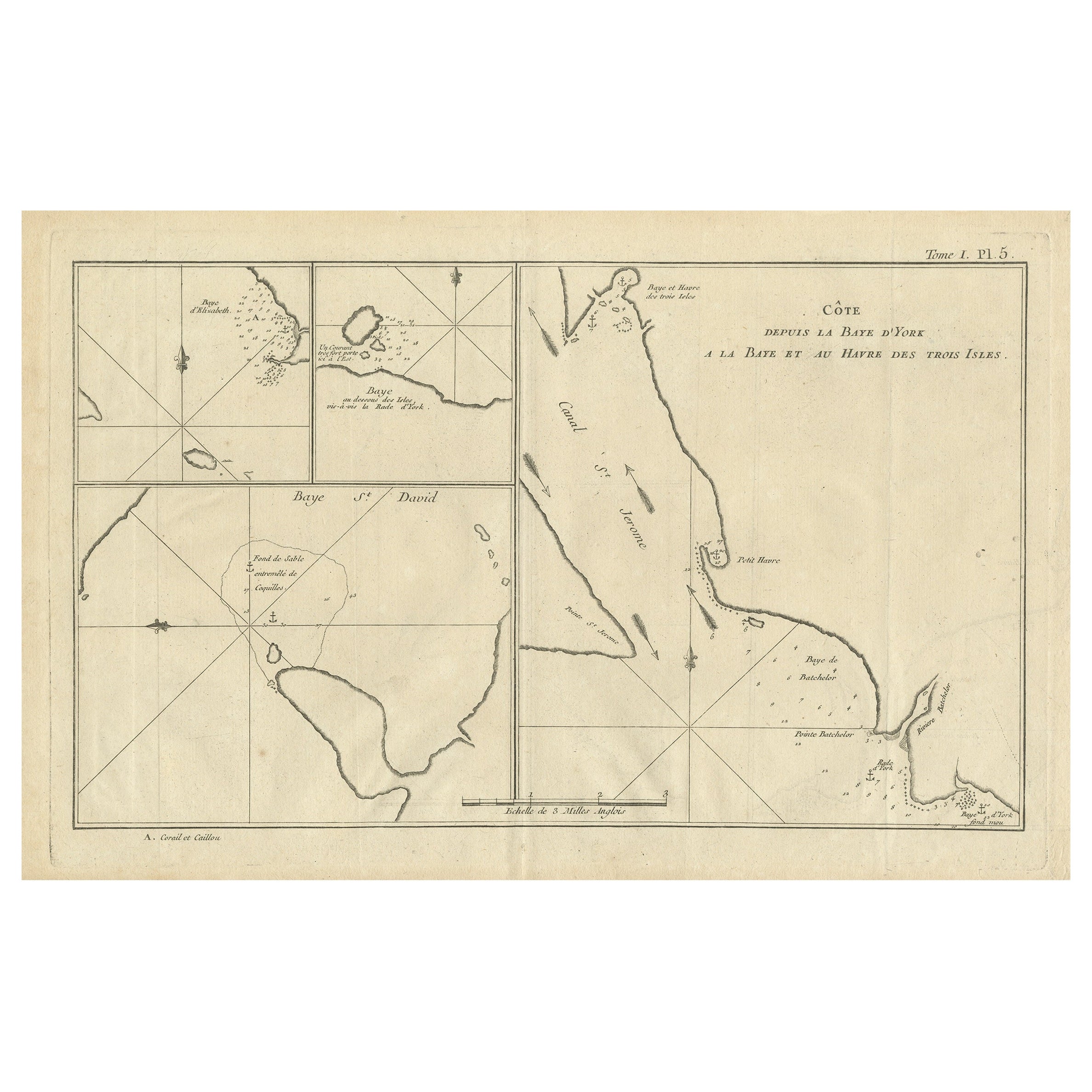
 - Antique Map of York's Bay, Haven of the Three Islands and SurroundingsLocated in Langweer, NLAntique map titled 'Baye St. David (..)'. Charts of York's Bay, Haven of the Three Islands, St. David's Bay, and Elizabeth's Bay. This map originates from the French edition of 'An A...Category
Antique Late 18th Century Maps
MaterialsPaper
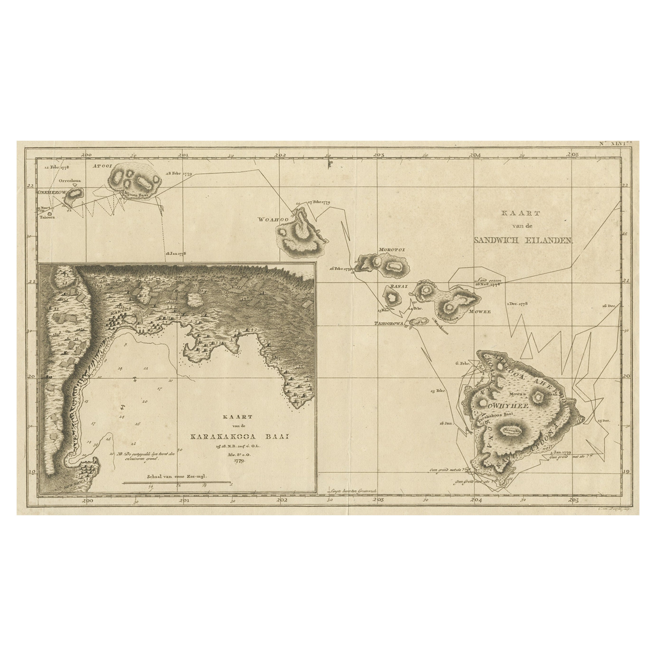
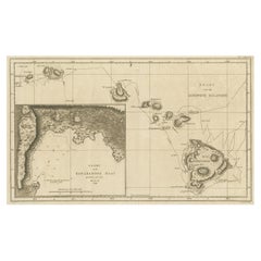
- Map of the Hawaiian Islands with a Large Inset of Karakakooa Bay, 1803Located in Langweer, NLAntique map titled 'Kaart van de Sandwich Eilanden'. Map of the Hawaiian Islands with a large inset of Karakakooa Bay, including soundings and anchorages. Originates from 'Reizen R...Category
Antique Early 1800s Maps
MaterialsPaper


Recently Viewed
View AllMore Ways To Browse
Vintage Maps Of Long Island
Ship Compass Gimble
Nautical Propeller Vintage
Antique Marine Chronometer
Brass Ships Wheel On Pedestal
Vintage Bollard
Vintage Nautical Pulley
Vintage Nautical Pulleys
Vintage Ship Steering Wheel
Antique Boat Compass
Ships Hatch Cover
Vintage Pulley Hook
Antique Brass Porthole Window
Antique Pulley And Hook
Scotch Bonnet
Ship Speed Stand
Antique Clinometer
Brass Diving Helmet