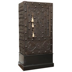
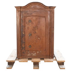
Huge Four Key Hobnail Safe Bologna, Italy, circa 1650s-1690s
View Similar Items


1 of 15
Huge Four Key Hobnail Safe Bologna, Italy, circa 1650s-1690s
About the Item
- Dimensions:Height: 62 in (157.48 cm)Width: 31 in (78.74 cm)Depth: 19 in (48.26 cm)
- Style:Other (Of the Period)
- Materials and Techniques:
- Place of Origin:
- Period:
- Date of Manufacture:1650-1690
- Condition:Wear consistent with age and use. It is in very good working condition.
- Seller Location:Palm Beach, FL
- Reference Number:1stDibs: f2850318032310245003fs
You May Also Like
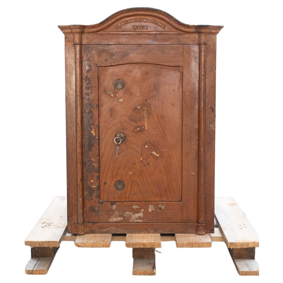
- Austro-Hungarian period safe F. WERTHEIM & C. with key, 1800sBy Alfred WertheimerLocated in Manzano, ITAustro-Hungarian period safe F. WERTHEIM & C. with key, 1800s Style Vintage Periodo del design Before 1890s Production Period Before 1890s Year Manufactured 1800 Maker Wertheim & C. ...Category
Antique Early 1800s Austrian Historical Memorabilia
MaterialsIron
- Antique Map of Denmark by Valk 'circa 1690'Located in Langweer, NLThe map titled "Regnum Daniae, divisum in Dioeceses Arhusiam, Albergum, Viborgum, et Ripam (..)" is a meticulously detailed representation of the Kingdom of Denmark during a historic...Category
Antique Late 17th Century Maps
MaterialsPaper
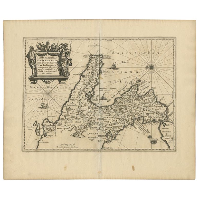
- Antique Map of Switzerland by N. Visscher, circa 1690Located in Langweer, NLAntique map titled 'Tabula Geogaphica qua Pars Meridionalis sive Superior Rheni, Mosae, et Mosellae (..)'. Published by N. Visscher, Amsterdam, circa 1690. Contemporary coloring.Category
Antique Late 17th Century Maps
MaterialsPaper
 $582 Sale Price20% Off
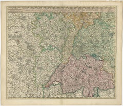
 - Antique Map of Austria by N. Visscher, circa 1690Located in Langweer, NLAntique map titled 'Austriae Archiducatus pars superior in omnes ejusdem'. Spectacular large map of Upper and Lower Austria between Passau and Wien with figurative cartouche and armo...Category
Antique Late 17th Century Maps
MaterialsPaper
 $766 Sale Price24% Off
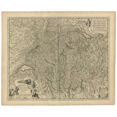
 - Antique Map of Switzerland by N. Visscher, circa 1690Located in Langweer, NLBeautifully detailed map of Switzerland and surrounding regions in present-day France, Germany, and Italy. This map features two decorative cartouches: the larger is flanked by two p...Category
Antique Late 17th Century Maps
MaterialsPaper
 $547 Sale Price26% Off
 - Antique Map of Styria by Mercator 'circa 1650'Located in Langweer, NLAntique map titled 'Stiria'. Original antique map of Styria, Austria. Published by G. Mercator, circa 1650.Category
Antique Mid-17th Century Maps
MaterialsPaper


Recently Viewed
View AllMore Ways To Browse
Hobnail Furniture
Antique Cabinet Lock Mechanism
Antique Hobnail
Forged Iron Lock
Merchant Cabinet
Security Safes Used
Rare Antique Buttons
Antique Rare Buttons
Italian Iron Safe
Hidden Safe
Hidden Safe Furniture
Antique Wood Buttons
Huge Kitchen Cabinets
17th Century Safe
Antique Strongbox
Hobnail Safe
Iron Strongbox
Safe Strongbox