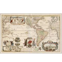
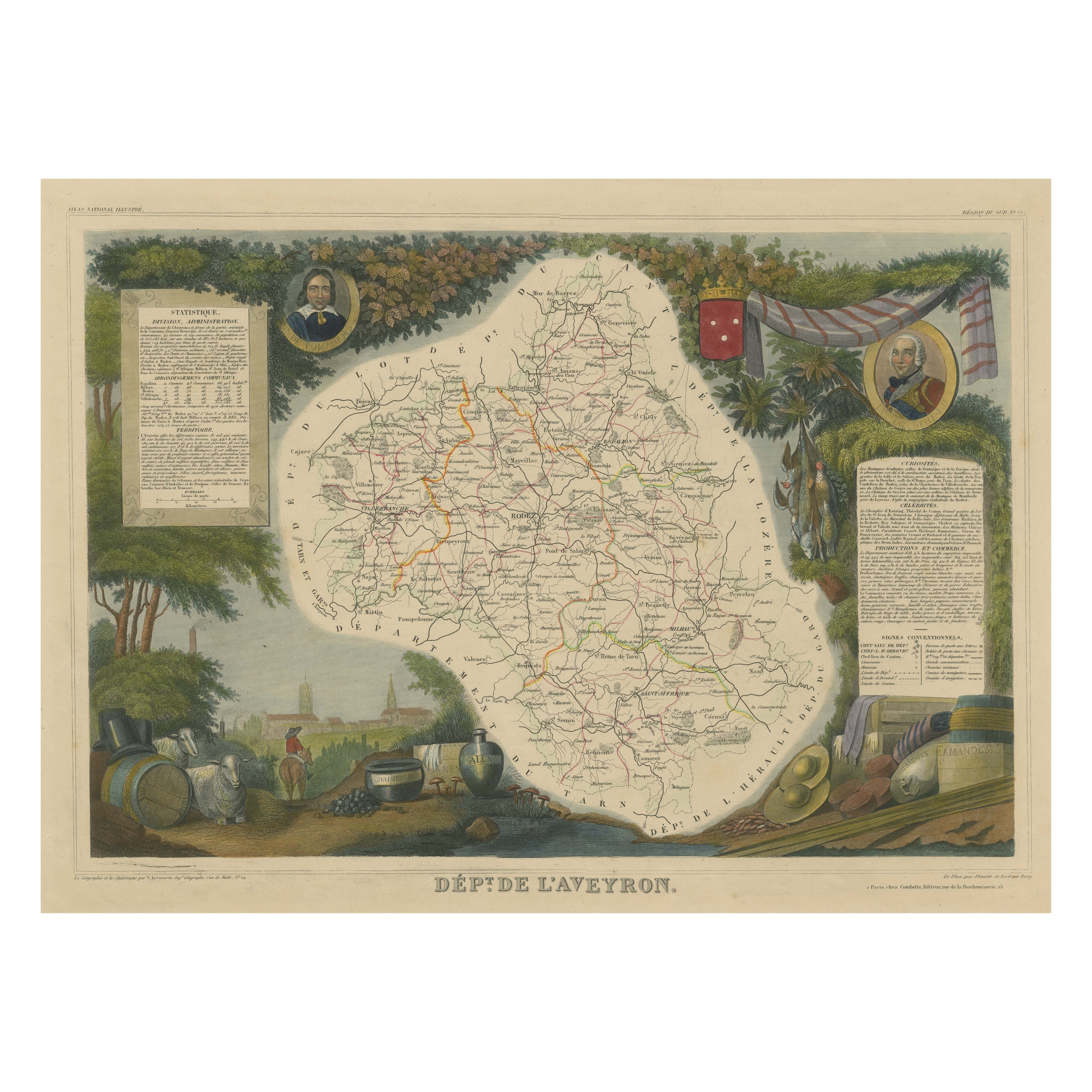
1730 Hand-Colored Antique Map of the Americas
View Similar Items
1 of 1
1730 Hand-Colored Antique Map of the Americas
About the Item
- Dimensions:Height: 23.5 in (59.69 cm)Width: 38 in (96.52 cm)Depth: 1 in (2.54 cm)
- Style:Baroque (Of the Period)
- Materials and Techniques:Paper,Engraved
- Place of Origin:
- Period:1730-1739
- Date of Manufacture:1730s
- Condition:Wear consistent with age and use. Old color, recently refreshed.
- Seller Location:La Jolla, CA
- Reference Number:Seller: 385531stDibs: LU228936146143
Authenticity Guarantee
In the unlikely event there’s an issue with an item’s authenticity, contact us within 1 year for a full refund. DetailsMoney-Back Guarantee
If your item is not as described, is damaged in transit, or does not arrive, contact us within 7 days for a full refund. Details24-Hour Cancellation
You have a 24-hour grace period in which to reconsider your purchase, with no questions asked.Vetted Professional Sellers
Our world-class sellers must adhere to strict standards for service and quality, maintaining the integrity of our listings.Price-Match Guarantee
If you find that a seller listed the same item for a lower price elsewhere, we’ll match it.Trusted Global Delivery
Our best-in-class carrier network provides specialized shipping options worldwide, including custom delivery.You May Also Like
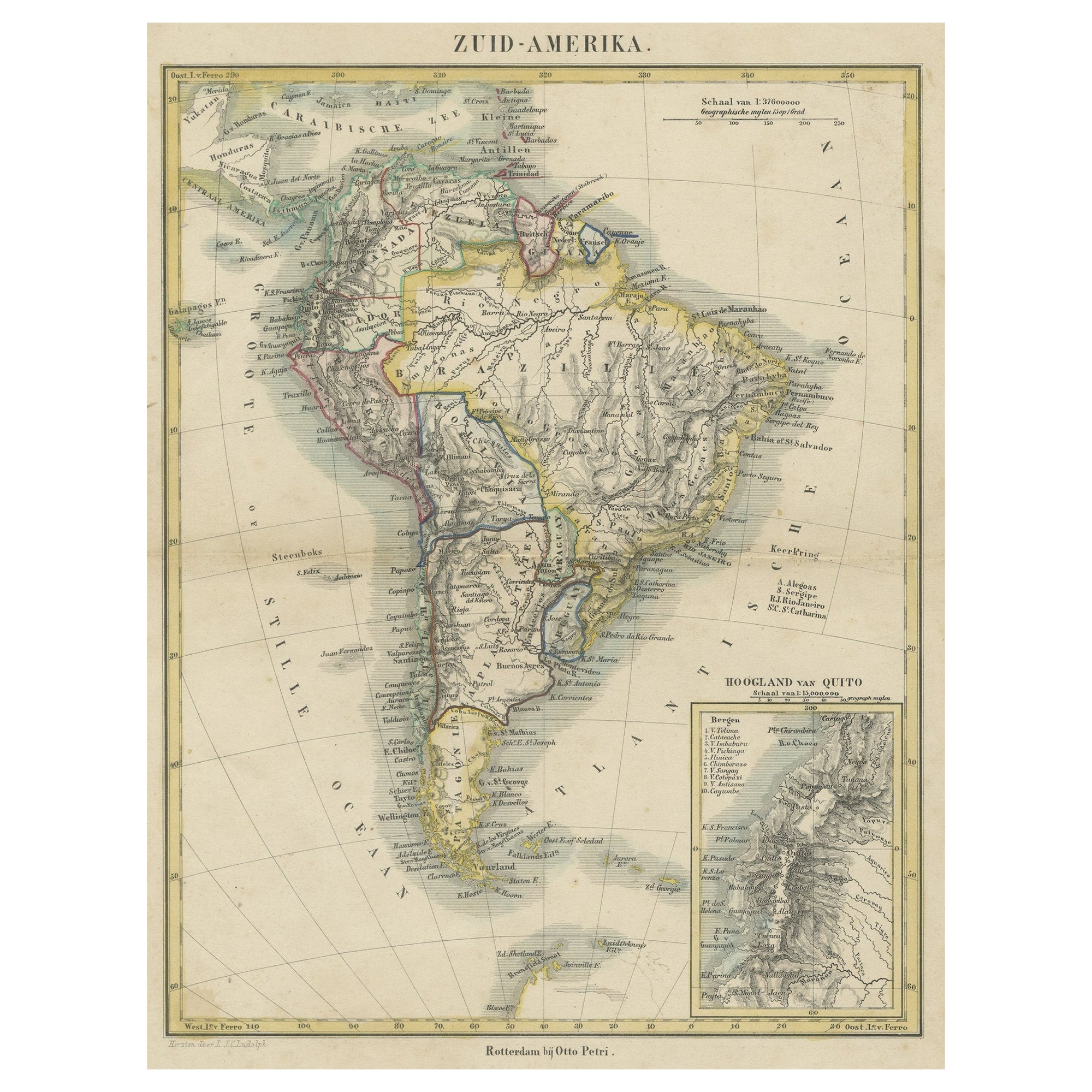
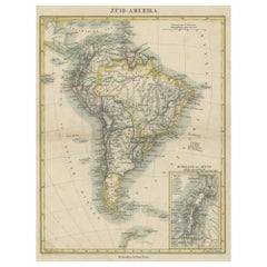
Antique Map of South America with inset of the Quito Highlands, Hand-Colored
Located in Langweer, NL
Antique map titled 'Zuid-Amerika'. Original antique map of South America including Brazil, Peru, Colombia, Ecuador, Venezuela, Guyana, Bolivia, Paraguay, Uruguay, Chile, Argentina. Inset map of the mountains of Quito. Published by Otto Petri...
Category
Antique Mid-19th Century Maps
Materials
Paper
$167 Sale Price
20% Off
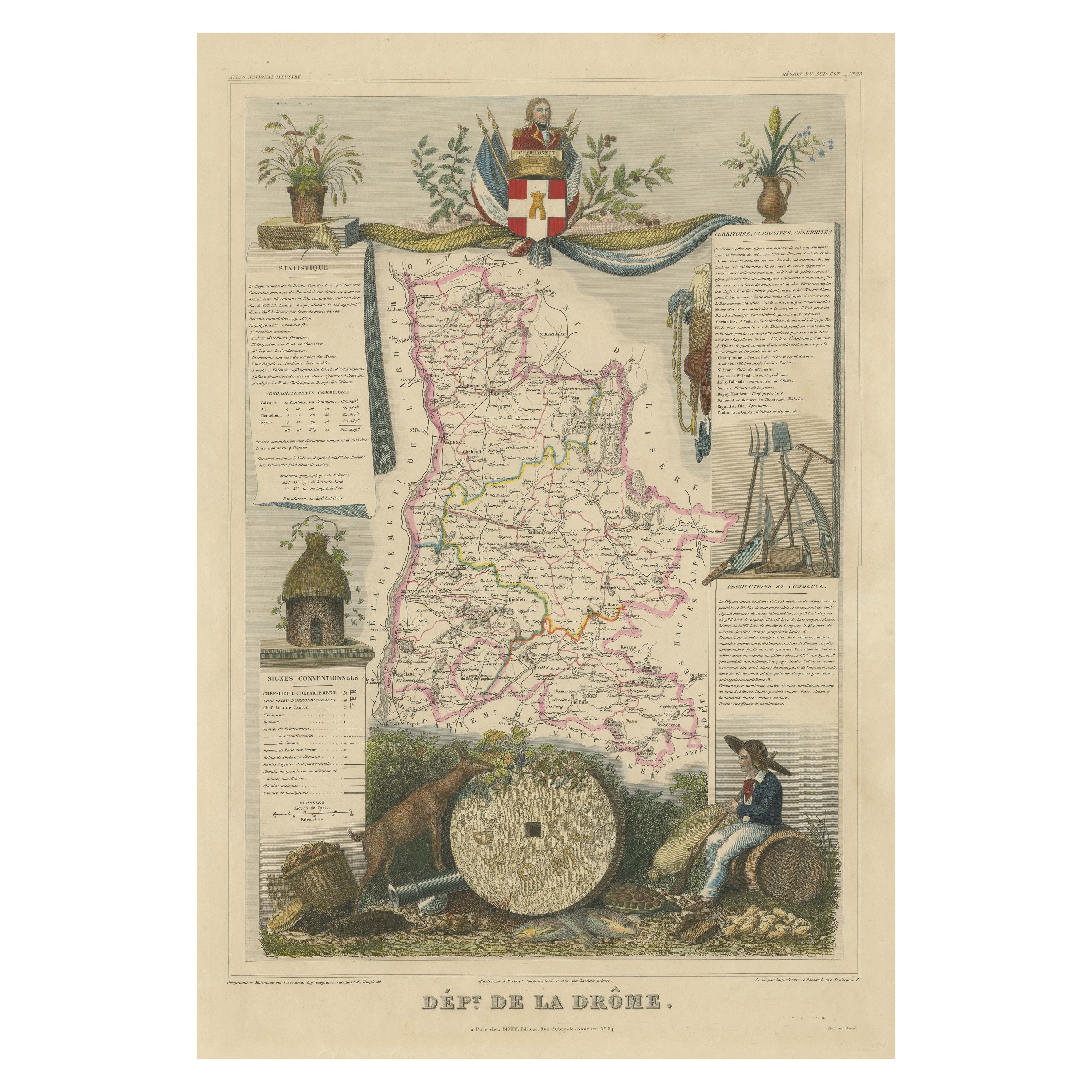
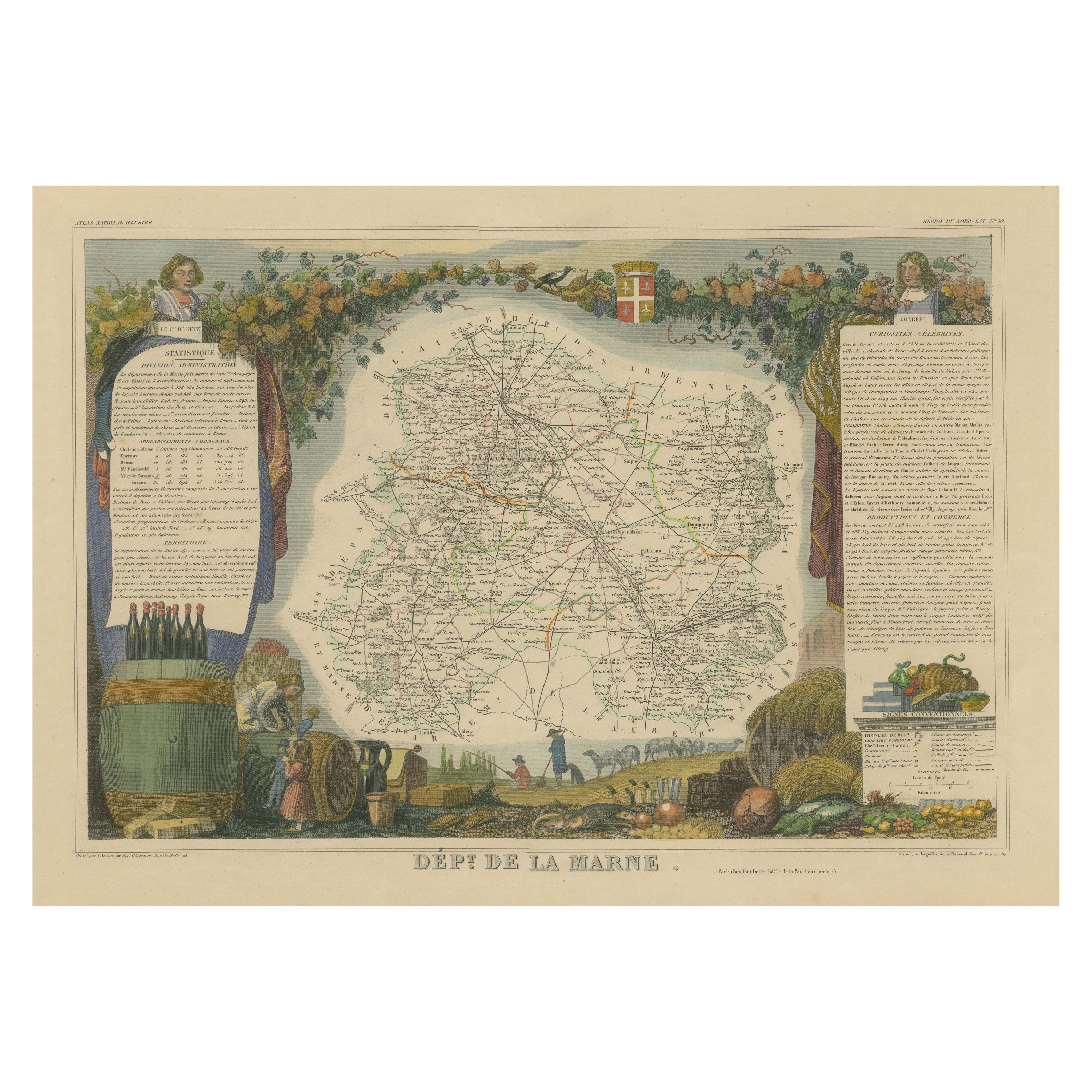
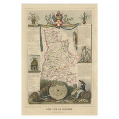
Hand Colored Antique Map of the department of Drôme, France
By Victor Levasseur
Located in Langweer, NL
Antique map titled 'Dépt. de la Drôme'. Map of the French department of Drôme, France. This area is known for its production of Picodon, a spicy goats-milk ch...
Category
Antique Mid-19th Century Maps
Materials
Paper
$316 Sale Price
20% Off
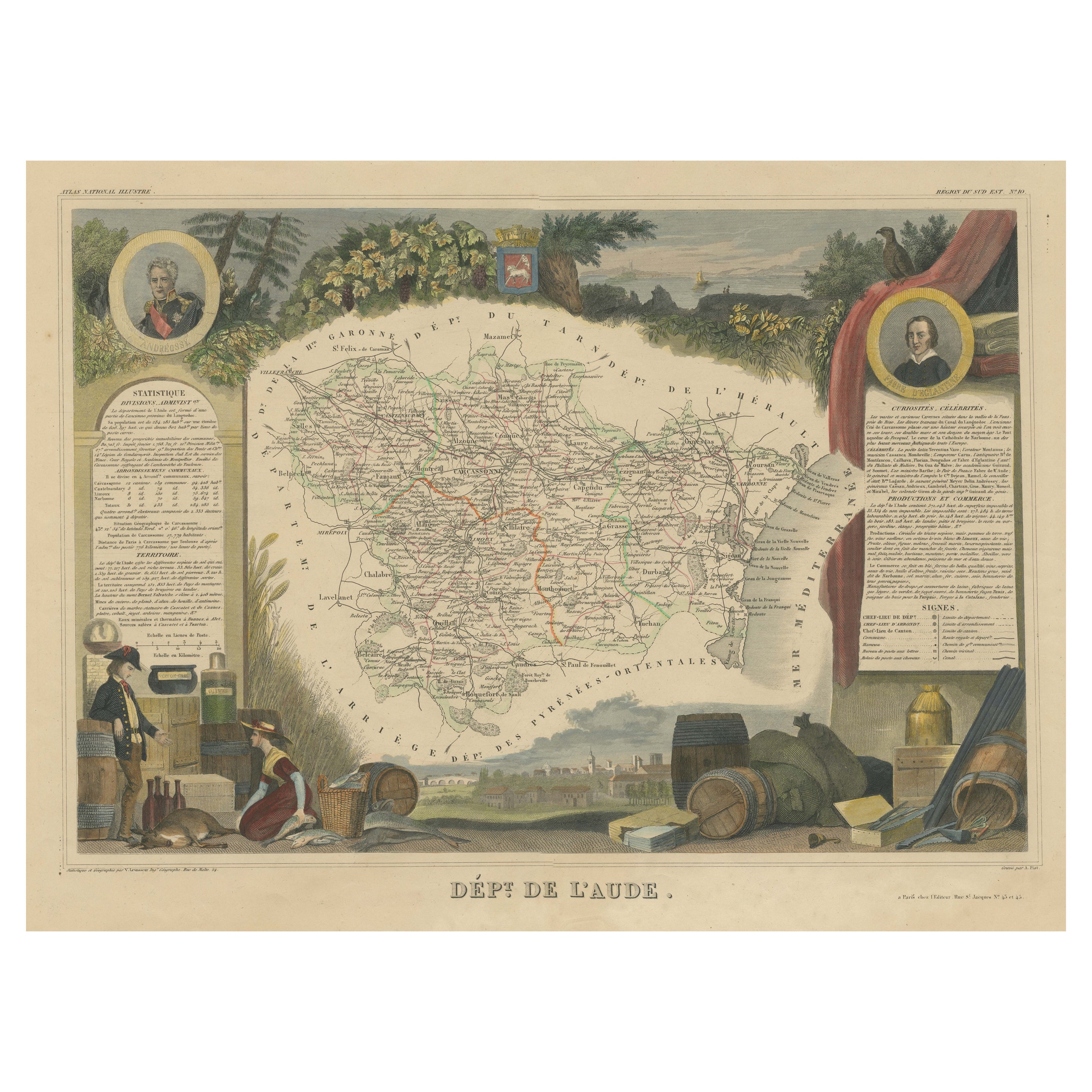
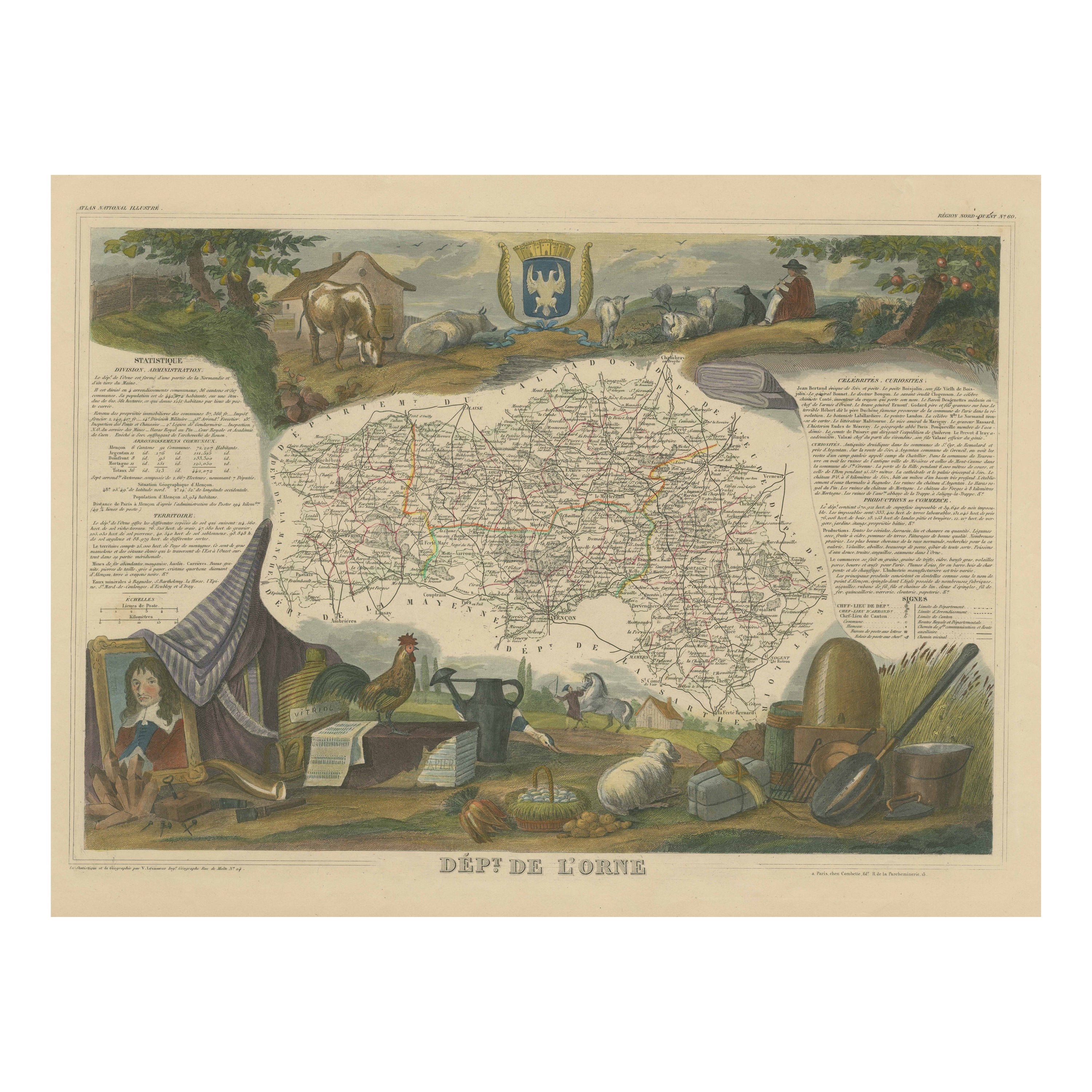
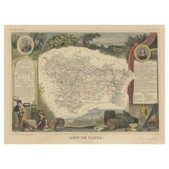
Hand Colored Antique Map of the Department of Aude, France
By Victor Levasseur
Located in Langweer, NL
Antique map titled 'Dépt. de l'Aude'. Map of the French department of Aude, France. This area of France is famous for its wide variety of vineyards and wine production. In the east a...
Category
Antique Mid-19th Century Maps
Materials
Paper
$316 Sale Price
20% Off
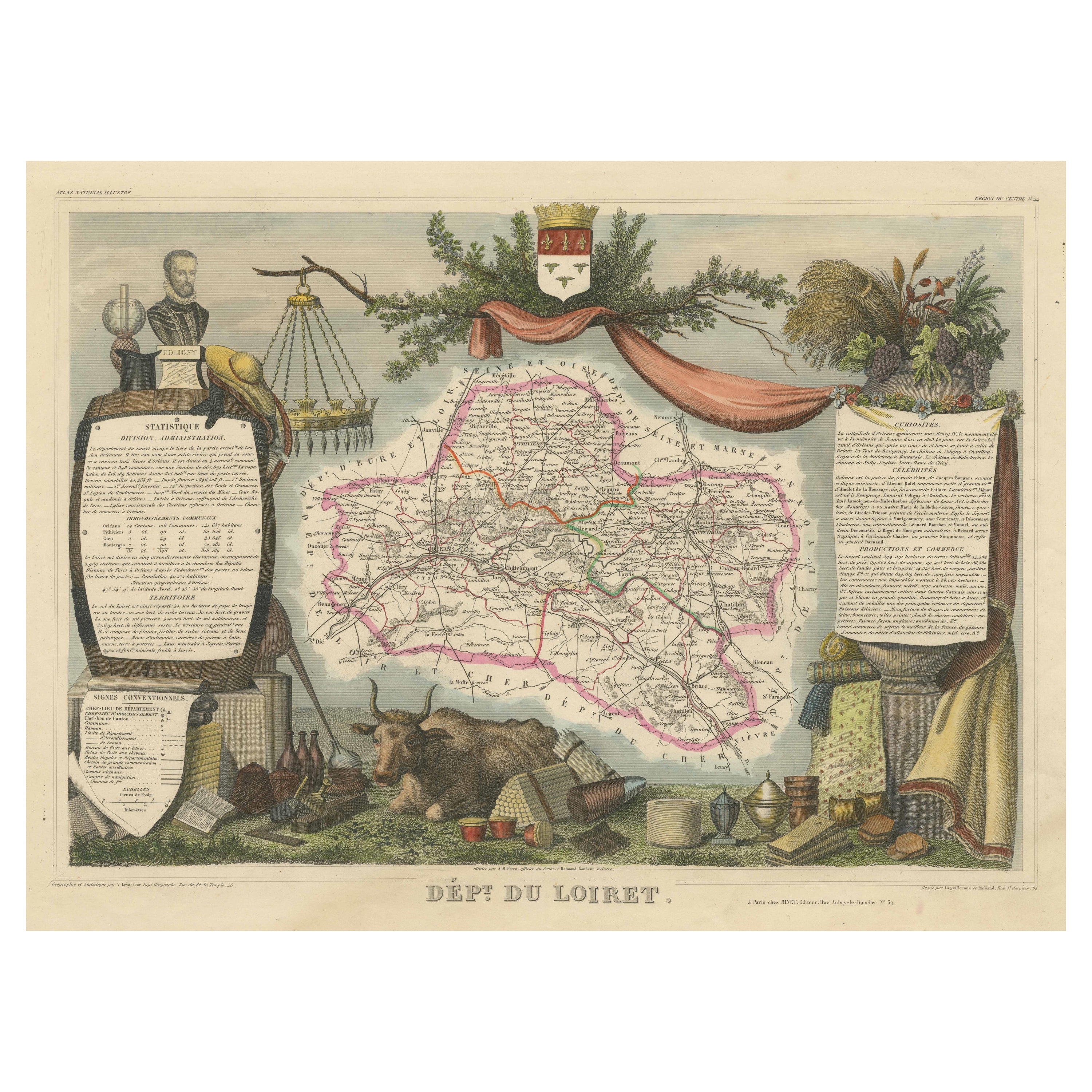
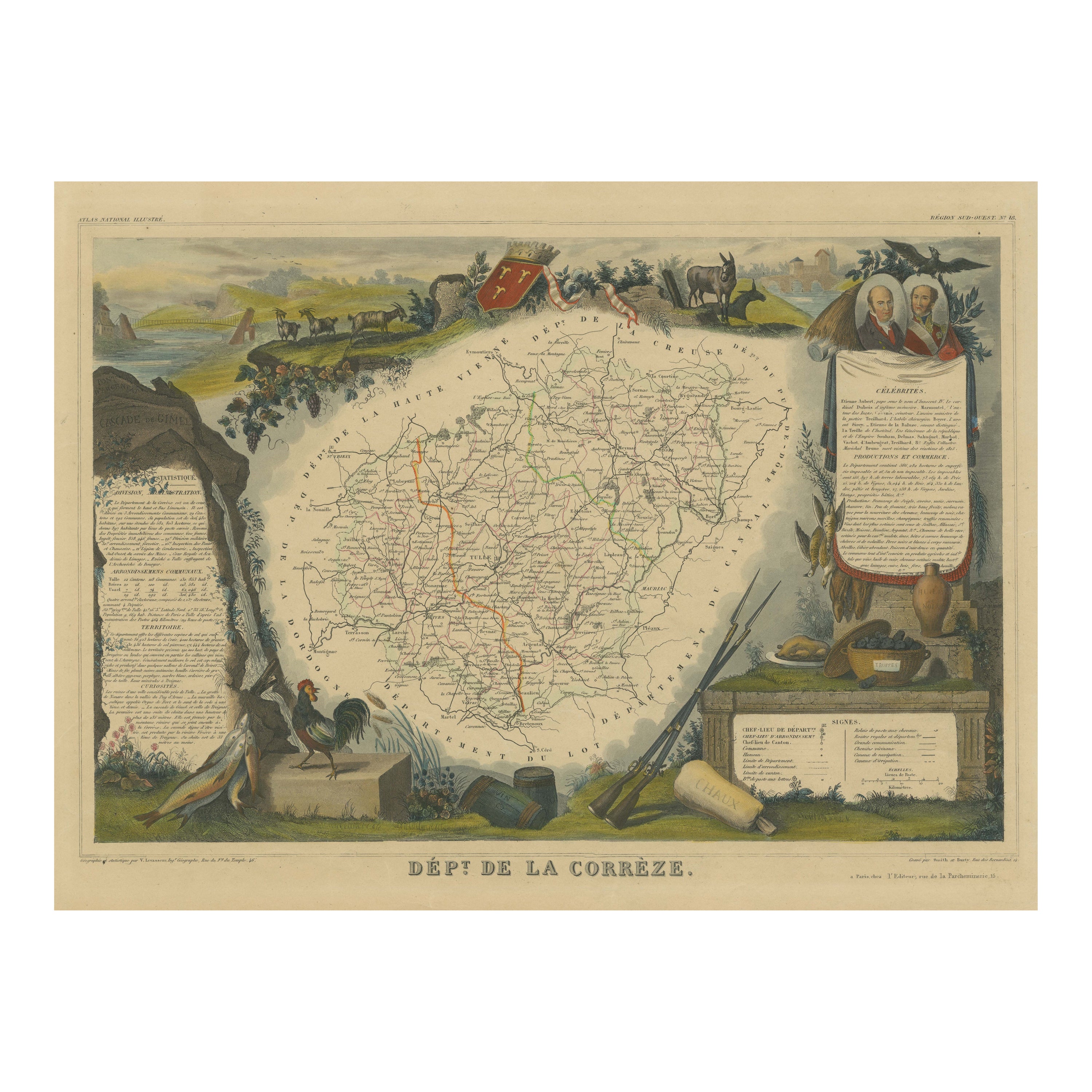
Hand Colored Antique Map of the department of Loiret, France
By Victor Levasseur
Located in Langweer, NL
Antique map titled 'Dépt. du Loiret'. Map of the French department of Loiret, France. Surrounding the city of Orleans, Loiret is considered the heart of France and is a registered Unesco World Heritage Site. This area of France is also part of the Loire Valley wine region, and is especially known for its production of Pinot Noirs...
Category
Antique Mid-19th Century Maps
Materials
Paper
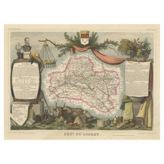
$316 Sale Price
20% Off
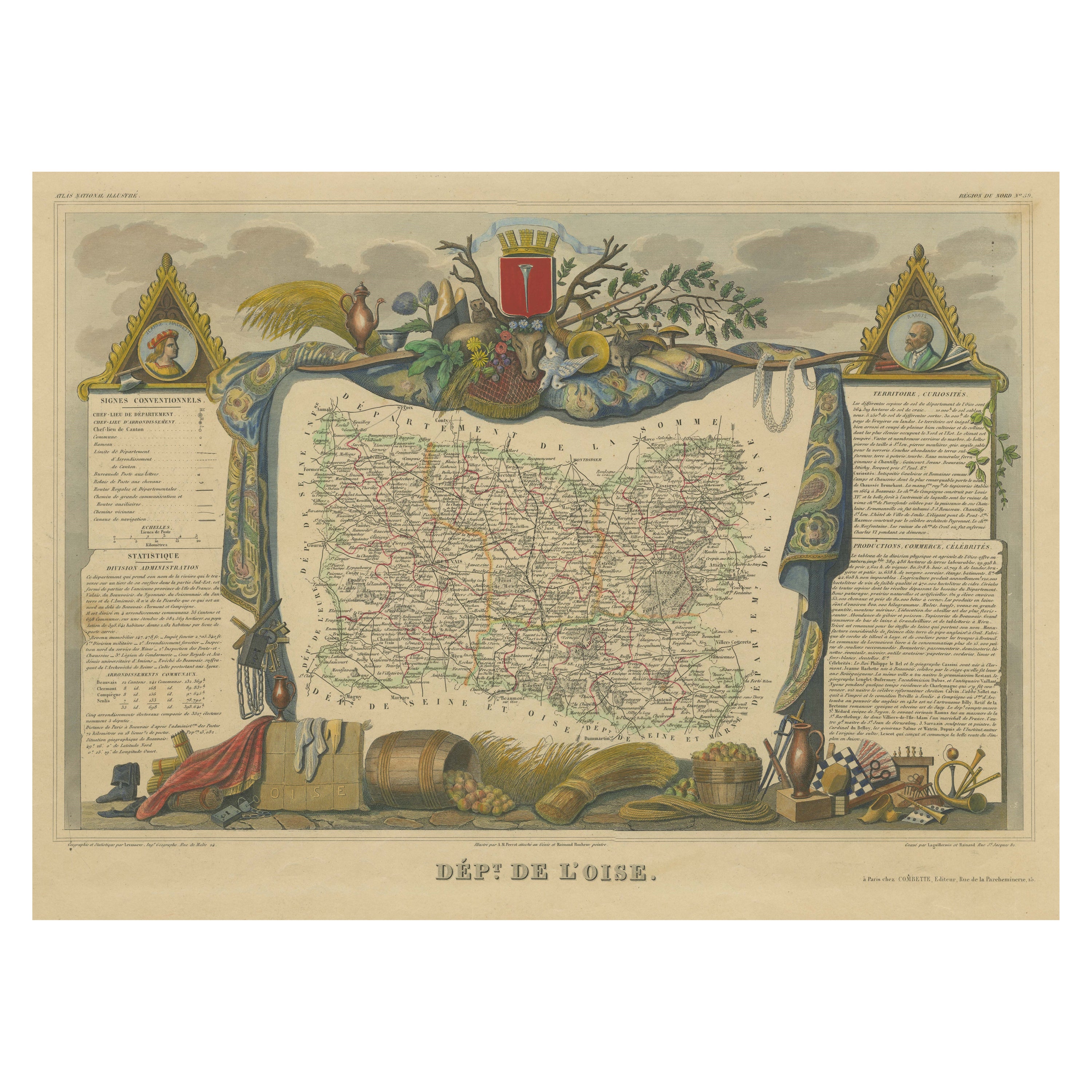
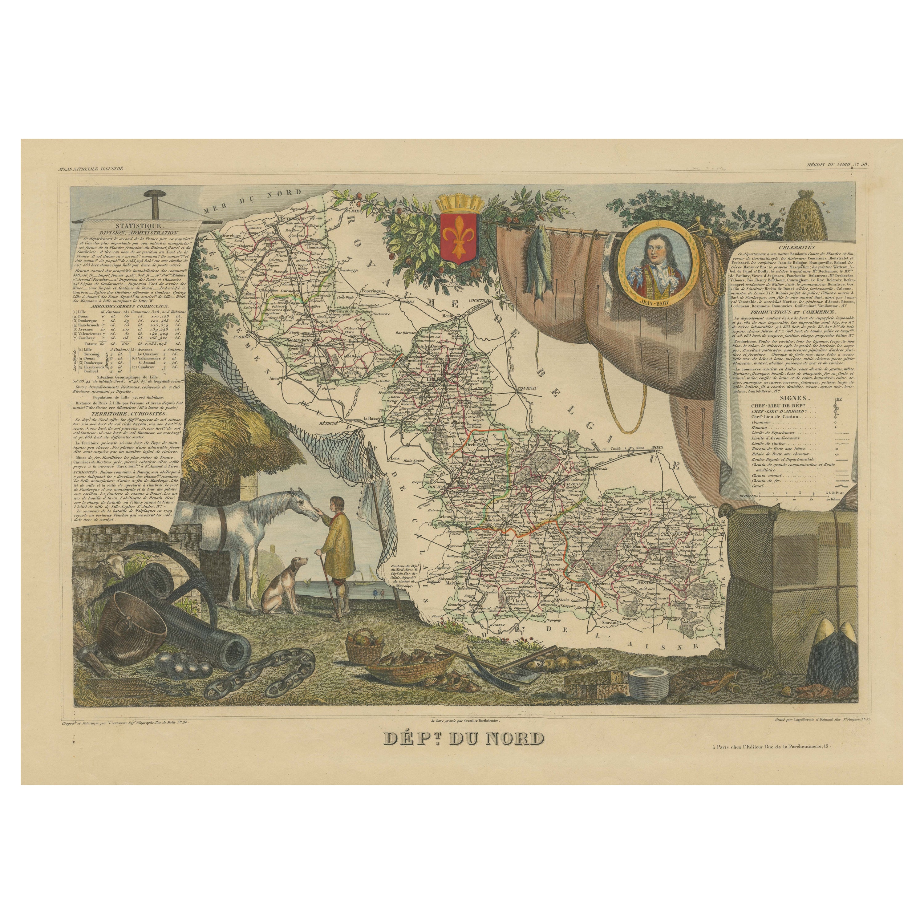
Hand Colored Antique Map of the Department of Oise, France
By Victor Levasseur
Located in Langweer, NL
Antique map titled 'Dept. de l'Oise'. Old map of the French department of Oise, France. The map proper is surrounded by elaborate decorative engravings designed to illustrate both th...
Category
Antique Mid-19th Century Maps
Materials
Paper
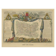
$316 Sale Price
20% Off
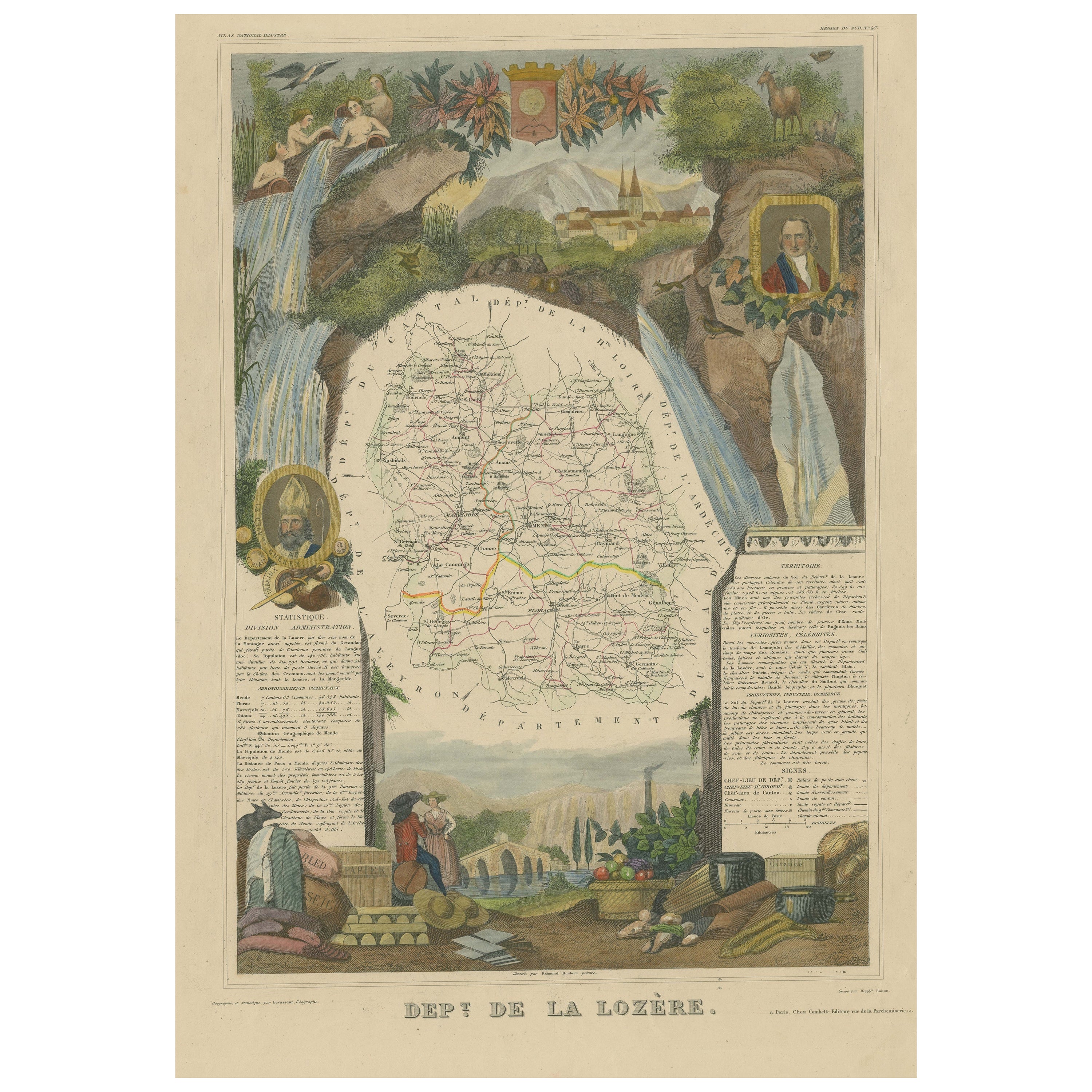
Hand Colored Antique Map of the department of Lozere, France
By Victor Levasseur
Located in Langweer, NL
Antique map titled 'Dept. de la Lozère'. Map of the French department of Lozere, France. This remote mountainous part of Languedoc is rural, sparcely populated, and extremely beautif...
Category
Antique Mid-19th Century Maps
Materials
Paper

$316 Sale Price
20% Off