Items Similar to Antique Map of South America with inset of the Quito Highlands, Hand-Colored


Want more images or videos?
Request additional images or videos from the seller
1 of 6
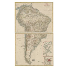
Antique Map of South America with inset of the Quito Highlands, Hand-Colored
About the Item
Antique map titled 'Zuid-Amerika'. Original antique map of South America including Brazil, Peru, Colombia, Ecuador, Venezuela, Guyana, Bolivia, Paraguay, Uruguay, Chile, Argentina. Inset map of the mountains of Quito. Published by Otto Petri, circa 1870.
- Dimensions:Height: 13.51 in (34.3 cm)Width: 10.16 in (25.8 cm)Depth: 0.02 in (0.5 mm)
- Materials and Techniques:
- Period:
- Date of Manufacture:c.1870
- Condition:Wear consistent with age and use. Original / contemporary hand coloring. Original folding line. Shows toning, wear and soiling. Blank verso. Please study images carefully.
- Seller Location:Langweer, NL
- Reference Number:
About the Seller
5.0
Platinum Seller
These expertly vetted sellers are 1stDibs' most experienced sellers and are rated highest by our customers.
Established in 2009
1stDibs seller since 2017
1,922 sales on 1stDibs
Typical response time: <1 hour
- ShippingRetrieving quote...Ships From: Langweer, Netherlands
- Return PolicyA return for this item may be initiated within 14 days of delivery.
More From This SellerView All
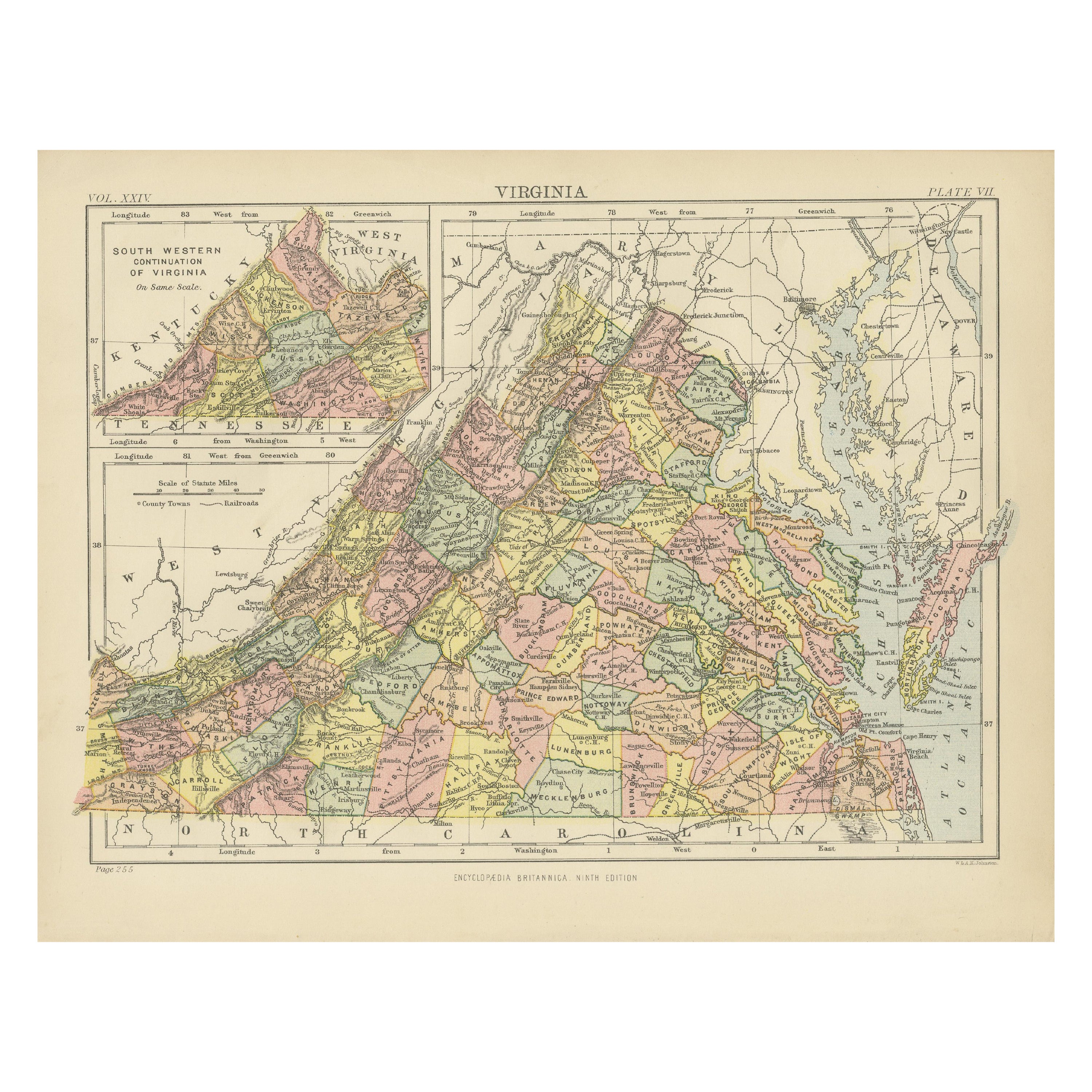
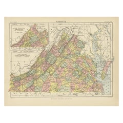
- Antique Map of Virginia, with Inset Map of the South Western ContinuationLocated in Langweer, NLAntique map titled 'Virginia'. Original antique map of Virginia, United States. With inset map of the south western continuation of Virginia. T...Category
Antique Late 19th Century Maps
MaterialsPaper
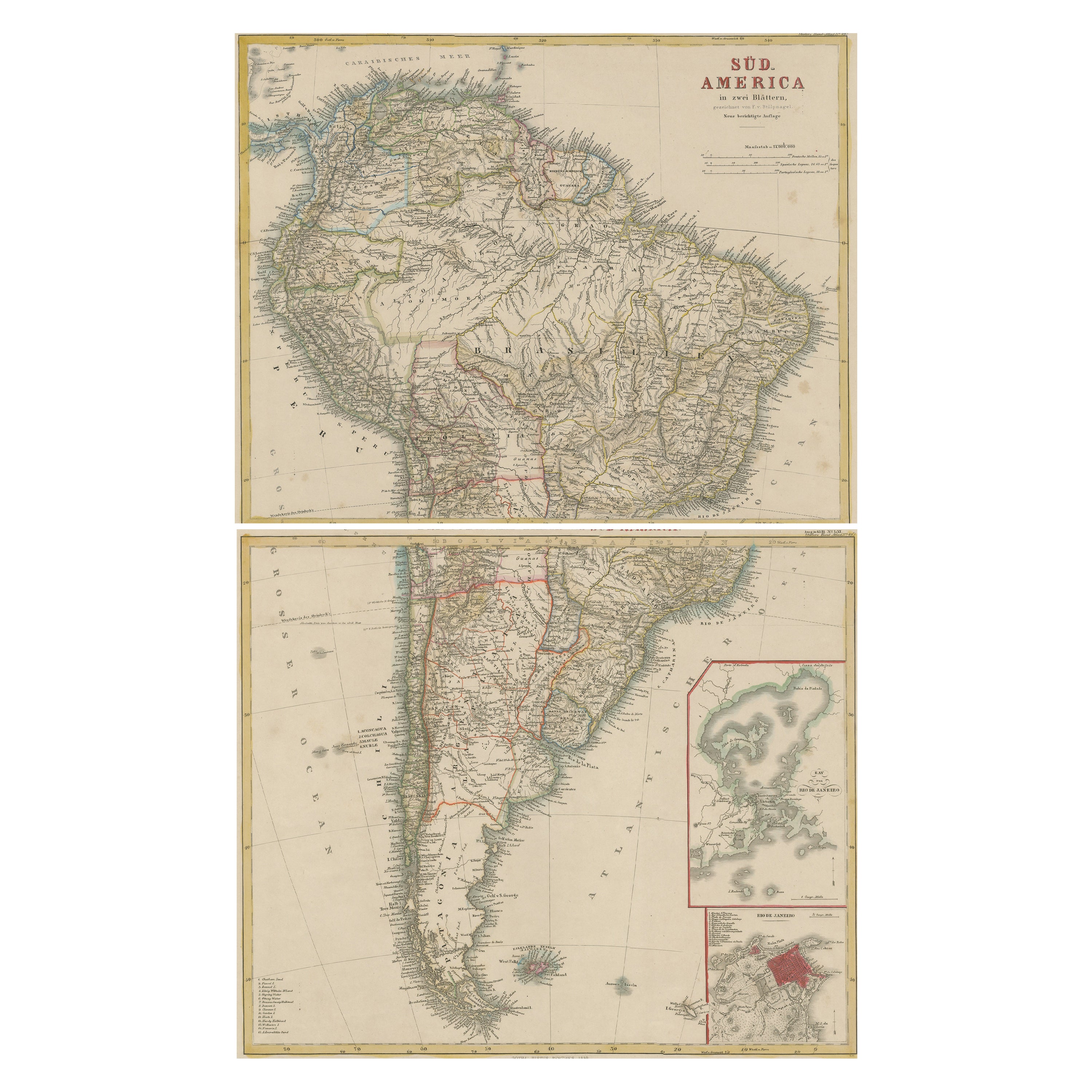
- Set of Two Antique Maps of South America with Inset Maps of Rio de JaneiroLocated in Langweer, NLSet of two antique maps titled 'Süd-America in zwei Blättern'. Two individual sheets of South America. With inset maps of Rio de Janeiro and the Bay of Rio de Janeiro. This map o...Category
Antique Mid-19th Century Maps
MaterialsPaper
- Scarce Antique Map of South AmericaLocated in Langweer, NLAntique map titled 'Carte de l'Amérique Méridionale'. Scarce map of South America, published in Paris in 1821. The map shows the continent in the ...Category
Antique Early 19th Century Maps
MaterialsPaper
- Antique Map of North Carolina, with inset map of the western partLocated in Langweer, NLAntique map titled 'North Carolina'. Original antique map of North Carolina, United States. With inset map of the western part of North Carolina....Category
Antique Late 19th Century Maps
MaterialsPaper
- Antique Map of the Eastern United States with Inset Map of TexasLocated in Langweer, NLAntique map titled 'Verein-Staaten von Nord-America mit Ausnahme Florida's und der Westlichen Territorien'. This map extends as far west as Louisiana and only includes the northern p...Category
Antique Mid-19th Century Maps
MaterialsPaper
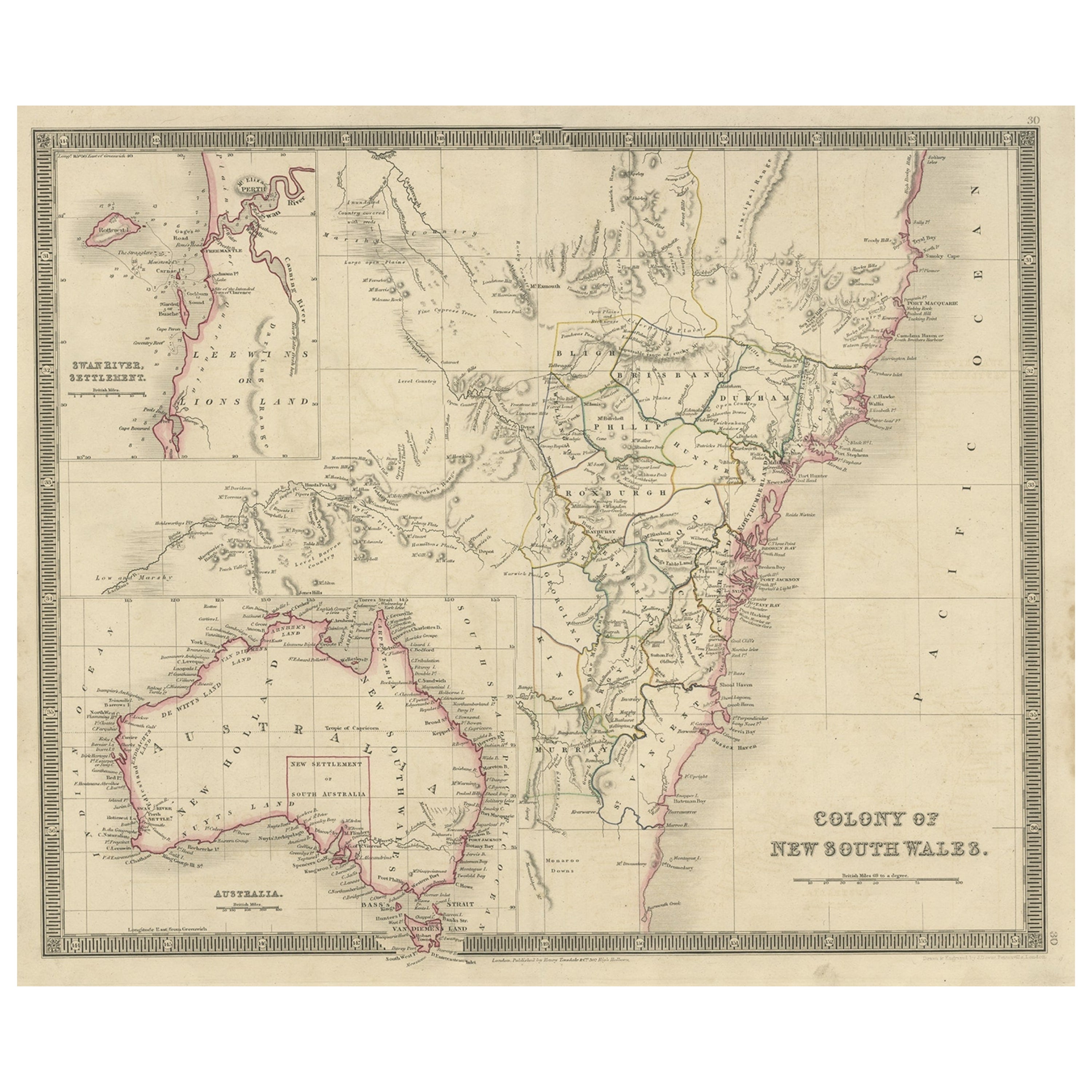
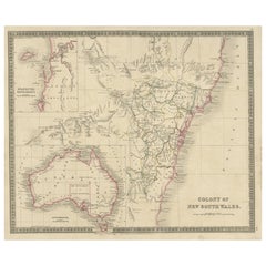
- Antique Map of New South Wales with Inset Maps of Australia and Swan River, 1854Located in Langweer, NLAntique map titled 'Colony of New South Wales'. Map of New South Wales with inset maps of Australia and Swan River. Artists and Engravers: Drawn and engrave...Category
Antique 19th Century Maps
MaterialsPaper


You May Also Like
- Original Antique Map of South America. C.1780Located in St Annes, LancashireGreat map of South America Copper-plate engraving Published C.1780 Two small worm holes to left side of map Unframed.Category
Antique Early 1800s English Georgian Maps
MaterialsPaper
- North & South America: A 17th Century Hand-colored Map by Jansson & GoosBy Johannes JanssoniusLocated in Alamo, CAA 17th century hand-colored map of North & South America entitled "Americae Descriptio" by the cartographer Johannes Jansson, published in Jansson's Atlas Minor in Amsterdam in 1628....Category
Antique 1620s Dutch Maps
MaterialsPaper
- South America: Hand-colored 18th Century Framed Map by Thomas JefferysBy Thomas JefferysLocated in Alamo, CAThis detailed hand-colored map of South America by Thomas Jefferys was published in London in 1750. The map shows countries, early colonial possessions, towns, rivers, mountains, and...Category
Antique Mid-18th Century English Maps
MaterialsPaper
- Original Antique Map of South America, circa 1830Located in St Annes, LancashireGreat map of South America Copper plate engraving Published by Butterworth, Livesey & Co., circa 1830 Unframed.Category
Antique Early 1800s English Other Maps
MaterialsPaper
- Original Antique Map of South America by Thomas Clerk, 1817Located in St Annes, LancashireGreat map of South America Copper-plate engraving Drawn and engraved by Thomas Clerk, Edinburgh. Published by Mackenzie And Dent, 1817 Unframed.Category
Antique 1810s English Maps
MaterialsPaper
- Original Antique Map of South Africa, Arrowsmith, 1820Located in St Annes, LancashireGreat map of South Africa. Drawn under the direction of Arrowsmith. Copper-plate engraving. Published by Longman, Hurst, Rees, Orme and Br...Category
Antique 1820s English Maps
MaterialsPaper


Recently Viewed
View AllMore Ways To Browse
Argentine Antiques
Antique Argentine
Argentine Antique Furniture
Mid Century Brazil Antiques
Circa 1870 America
Antique Colombia
Colombian Antique
Antique Peru
Antique Furniture Peru
Peruvian Antiques
19th Century Peruvian
Chilean Antiques
Map Of Brazil
Peruvian Ecuador
Brazil Map
Antique Map Brazil
Antique Map Of Brazil
Map Of Peru