Items Similar to Hand-Colored Lithograph of an Armed Knight under the Reign of Louis XI, ca.1860
Want more images or videos?
Request additional images or videos from the seller
1 of 5
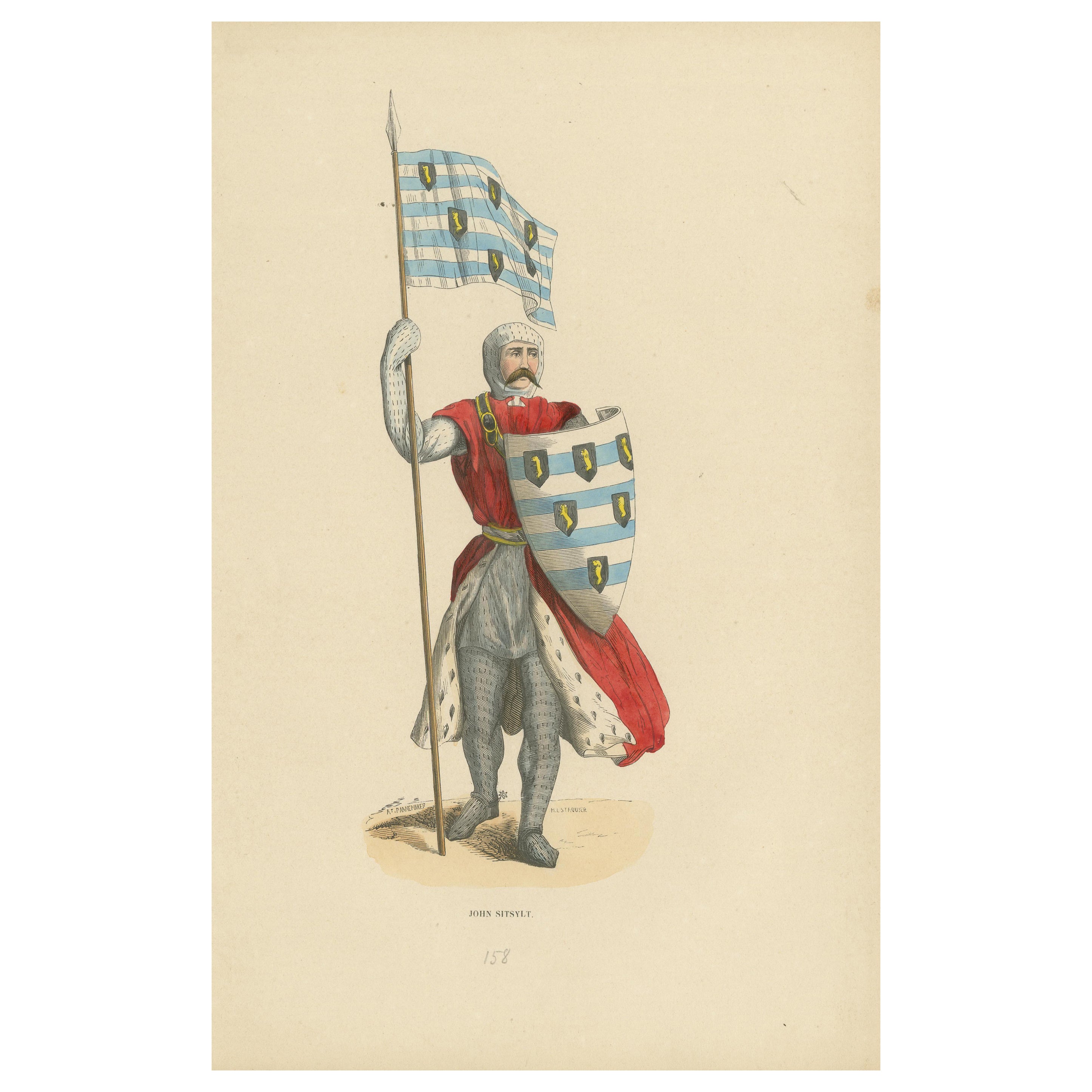
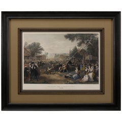
Hand-Colored Lithograph of an Armed Knight under the Reign of Louis XI, ca.1860
About the Item
Antique print titled 'Chevalier armé sous Louis XI'. Lithograph of an armed knight under the reign of Louis XI. Source unknown, to be determined.
Artists and Engravers: Anonymous.
Condition: Good, general age-related toning. Partly mounted to grey paper. Blank verso, please study image carefully.
- Dimensions:Height: 8.67 in (22 cm)Width: 5.52 in (14 cm)Depth: 0 in (0.02 mm)
- Materials and Techniques:
- Period:
- Date of Manufacture:circa 1860
- Condition:Wear consistent with age and use.
- Seller Location:Langweer, NL
- Reference Number:
About the Seller
5.0
Platinum Seller
These expertly vetted sellers are 1stDibs' most experienced sellers and are rated highest by our customers.
Established in 2009
1stDibs seller since 2017
1,932 sales on 1stDibs
Typical response time: <1 hour
- ShippingRetrieving quote...Ships From: Langweer, Netherlands
- Return PolicyA return for this item may be initiated within 14 days of delivery.
More From This SellerView All
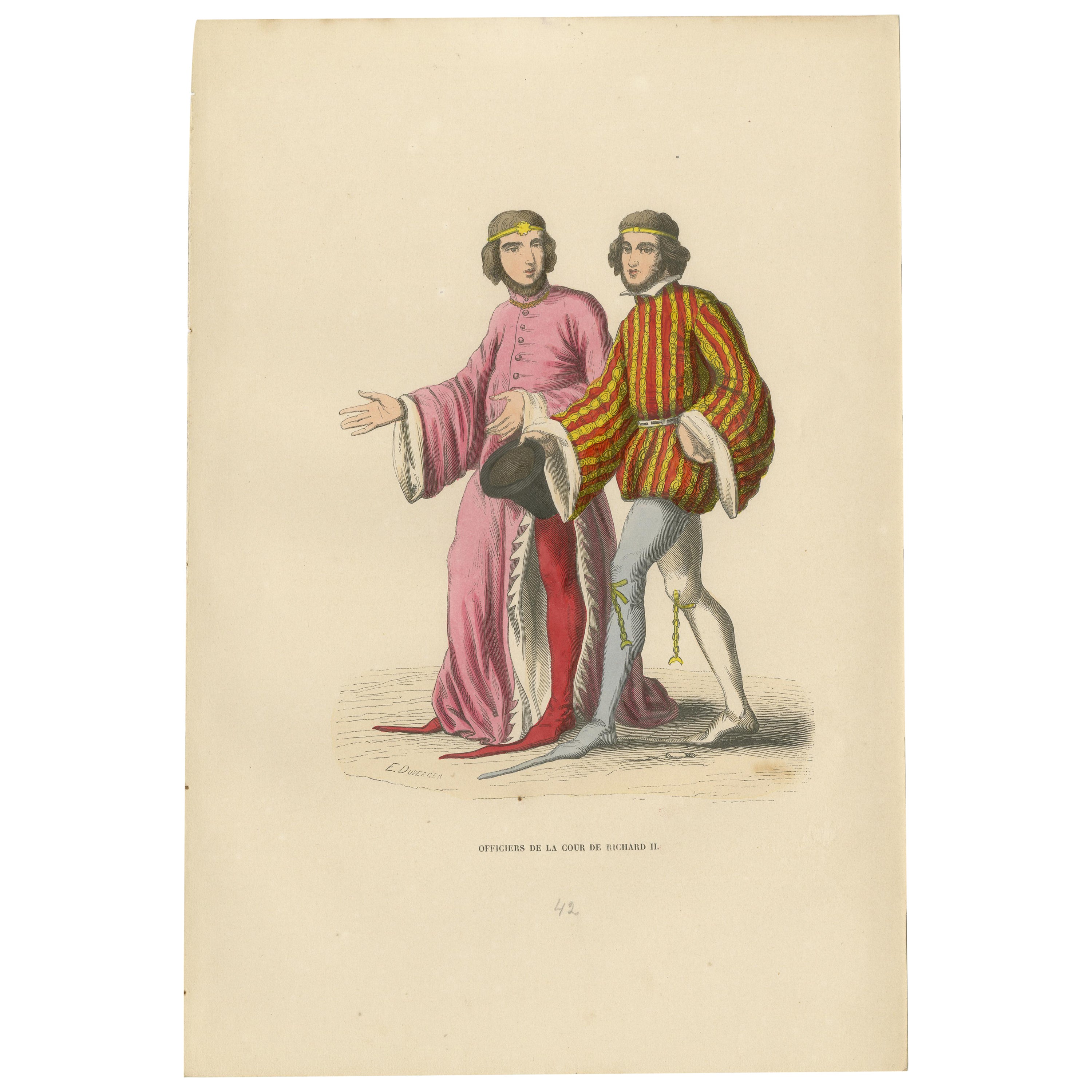
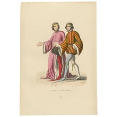
- Court Officers of the Reign of Richard II in an Hand-Colored Lithograph, 1847Located in Langweer, NLThe illustration features two court officers from the reign of Richard II, displaying the rich and ornate clothing typical of English courtly fashion at the end of the 14th century. ...Category
Antique 1840s Prints
MaterialsPaper
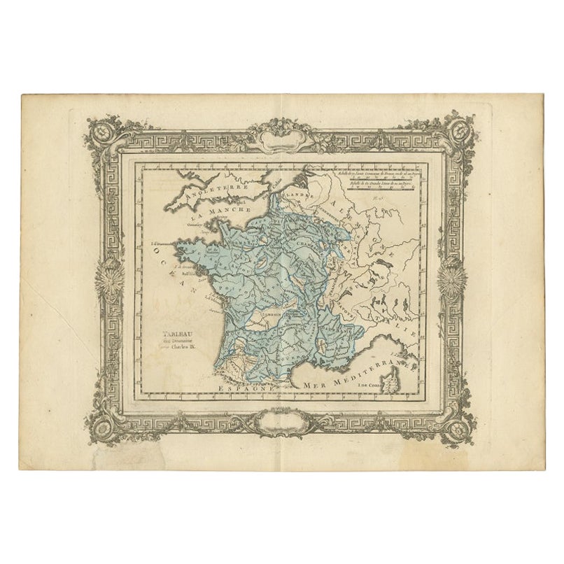
- Antique Map of France under the Reign of Charles IX by Zannoni, 1765Located in Langweer, NLAntique map France titled 'Tableau du Domaine sous Charles IX (..)'. Beautiful old map of France. This map originates from 'Atlas Historique de la France An...Category
Antique 18th Century Maps
MaterialsPaper
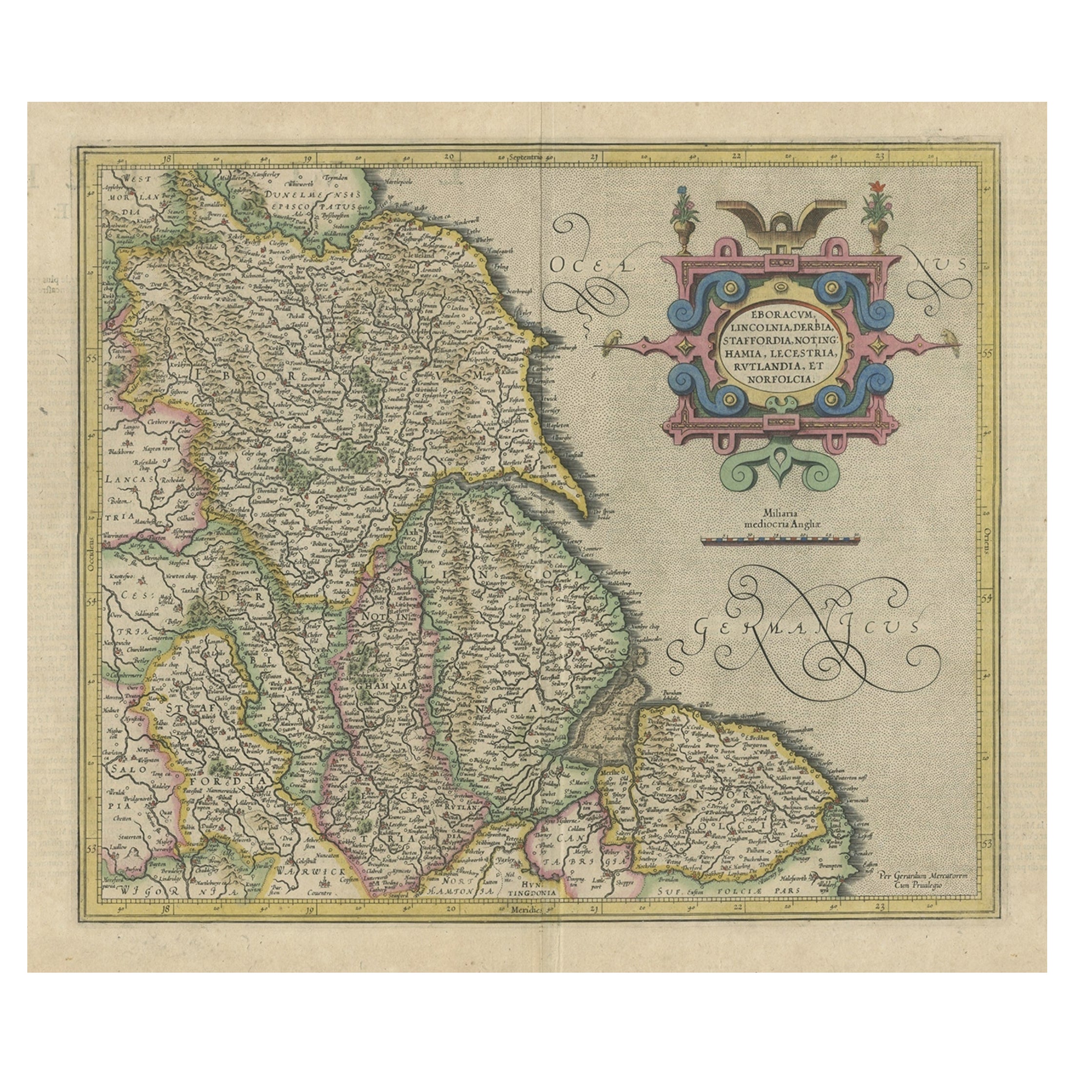
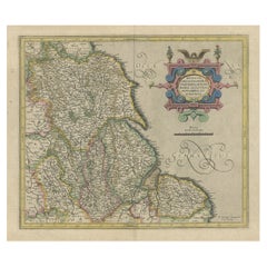
- Decorative Early Hand-Colored Map of the Northeast of England, ca.1620Located in Langweer, NLAntique map titled 'Eboracum, Lincolnia, Derbia, Staffordia, Notinghamia, Lecestria, Rutlandia et Norfolcia'. Decorative early map of the northeast of England, comprising the cou...Category
Antique 1620s Maps
MaterialsPaper
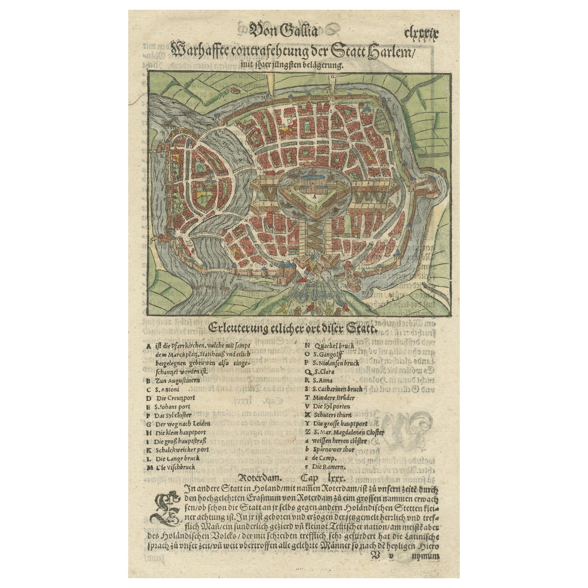
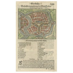
- Rare Early Hand-Colored Woodcut of the City of Haarlem, the Netherlands, ca.1580Located in Langweer, NLAntique map titled 'Warhaffte contrastehung der Statt Harlem'. Early woodcut of the city of Haarlem, the Netherlands. This map originates from 'Cosmographia' by S. Münster. A...Category
Antique 16th Century Maps
MaterialsPaper
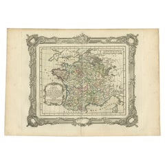
- Antique Map of France under the Reign of Louis XI by Zannoni, 1765Located in Langweer, NLAntique map France titled 'Carte de l'Etat de la Monarchie Francoise (..)'. Beautiful old map of France. This map originates from 'Atlas Historique de la France Ancienne et Moderne' ...Category
Antique 18th Century Maps
MaterialsPaper
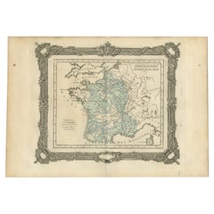
- Antique Map of France under the Reign of Louis XI by Zannoni, 1765Located in Langweer, NLAntique map France titled 'La Provence et la Bourgogne (..)'. Beautiful old map of France. This map originates from 'Atlas Historique de la France Ancienne et Moderne' by M. Rizzi Za...Category
Antique 18th Century Maps
MaterialsPaper
You May Also Like
- City View of Nuremberg, Germany: An 18th Century Hand-Colored Map by M. SeutterBy Matthew SeutterLocated in Alamo, CAAn 18th century hand-colored city view of Nuremburg, Germany entitled "Geometrischer Grundris der des Heiligen Römischen Reichs Freyen Stadt Nürnberg" by Matthaus Seutter from his "A...Category
Antique Mid-18th Century German Maps
MaterialsPaper
- Lithographic print on paper, depicting the atlas of the hand, France 1850 ca.Located in Milan, ITAn anatomical lithographic print on paper, depicting the anatomical atlas of the hand. Black lacquered fir wood frame with golden ramin wood batting. N. H. Ja...Category
Antique Mid-19th Century French Prints
MaterialsGlass, Wood, Paper
- "Raising the Liberty Pole" Hand-Colored Antique Print, 1875Located in Colorado Springs, COThis nineteenth-century engraving shows a liberty pole being raised in a town square in 1776, while a sign bearing the face of King George III is removed in the background. The rioto...Category
Antique 1870s American Historical Memorabilia
MaterialsPaper
- Hand-Colored 18th Century Homann Map of the Danube, Italy, Greece, CroatiaBy Johann Baptist HomannLocated in Alamo, CA"Fluviorum in Europa principis Danubii" is a hand colored map of the region about the Danube river created by Johann Baptist Homann (1663-1724) in his 'Atlas Novus Terrarum', publish...Category
Antique Early 18th Century German Maps
MaterialsPaper
- West Africa Entitled "Guinea Propria": An 18th Century Hand Colored Homann MapBy Johann Baptist HomannLocated in Alamo, CAThis is a scarce richly hand colored copper plate engraved map of Africa entitled "Guinea Propria, nec non Nigritiae vel Terrae Nigrorum Maxima Pars" by Johann Baptist Homann (1664-1...Category
Antique Mid-18th Century German Maps
MaterialsPaper
- St. Christophe 'St. Kitts' Island: An 18th Century Hand-colored Map by BellinBy Jacques-Nicolas BellinLocated in Alamo, CAJacques Bellin's copper-plate map of the Caribbean island of Saint Kitts entitled "Carte De De l'Isle St. Christophe Pour servir á l'Histoire Genle. des V...Category
Antique Mid-18th Century French Maps
MaterialsPaper


Recently Viewed
View AllMore Ways To Browse
Knight Antique
Louis Xi
Large Wall Tapestries
Stripe Suit
Large Wall Tapestry
Types Of Antique Cabinets
Head Heads Wall Mounted
Set Of Brackets
Rope Motif
Vintage Steel Cabinet Cabinet
Steel Kitchen Cabinets Vintage
Jere Brass Wall Sculpture
Display Cabinets And Tables
Interiors With Chinese Antiques
Mid Century Brass Wall Sculpture
Tiffany Green
Antique Glazed Kitchen Cabinets
Tall Cabinets With Drawers And Doors