Items Similar to Map for the use of the journey of Anacarsi the young man by the cartographer D'Anville 1790


Want more images or videos?
Request additional images or videos from the seller
1 of 11
Map for the use of the journey of Anacarsi the young man by the cartographer D'Anville 1790
About the Item
Map reproducing the map of the Academy and its contours near Athens for use in the journey of Anacarsi the Younger, by Mr. Barbie of Bocage; the map, made by cartographer D'Anville, was part of the work: Journey of the Young Anacarsi to Greece by Jean Jacques Barthélemy (1716-1795), renowned philologist and classicist, published in Italian around 1790. Print from copperplate engraving, coeval coloring. Measures with frame 42x34 cm - inches 16.5x13.4. Good condition.
Anacarsi was one of the seven sages of ancient Greece, and according to Herodotus he lived at the beginning of the sixth century B.C. and during his life he traveled through many lands, showing great wisdom everywhere." Barthélemy's work, Journey of the Young Anacharsis to Greece (Voyage du jeune Anacharsis en Grèce dans le milieu du IVe siècle), in which a young descendant of the wise Anacharsis visits fourth-century B.C. Greece, contained meticulous descriptions of the places, customs and habits of the Greeks, and was very popular in the late 18th century and into the 19th century.
- Dimensions:Height: 13.4 in (34.04 cm)Width: 16.5 in (41.91 cm)Depth: 1 in (2.54 cm)
- Materials and Techniques:
- Period:
- Date of Manufacture:1790
- Condition:Wear consistent with age and use.
- Seller Location:Milan, IT
- Reference Number:1stDibs: LU1020238154482
About the Seller
4.9
Platinum Seller
These expertly vetted sellers are 1stDibs' most experienced sellers and are rated highest by our customers.
Established in 1999
1stDibs seller since 2014
370 sales on 1stDibs
Typical response time: <1 hour
- ShippingRetrieving quote...Ships From: Milan, Italy
- Return PolicyA return for this item may be initiated within 14 days of delivery.
More From This SellerView All
- Engraving on Copper Print from the Volume Navigazione Nautical Subject 1790Located in Milan, ITPrint by engraving on copper plate Tav III TIX fig. 17-22 from the volume Navigazione; with frame 28 x 33. Some calculations are depicted. Very good condition. Shipping is insured by...Category
Antique 1790s Italian Nautical Objects
MaterialsPaper
- Old Nautical Print Depicting the Bombardment of Cadiz by the French Navy 1823Located in Milan, ITPrint by engraving on copper plate of the first half of the 19th century, depicting the bombardment of Cadiz by the French Navy, 23 September 1823. The print is signed peint par Crep...Category
Antique 1830s French Nautical Objects
MaterialsPaper
- Lithograph Depicting the Horse Winner of the 1993 Italian DerbyLocated in Milan, ITLithograph on paper made in the 1990s by the Ludovici typography in Rome from a painting depicting White Muzzle winner of the 1993 Italian Derby ridden by John Reid. With frame 66.5x...Category
1990s Italian Sports Equipment and Memorabilia
MaterialsWood, Paper
- Lithograph Depicting the Horse Winner of the 1983 Italian DerbyLocated in Milan, ITLithograph on paper made in the 1990s by the Salomone typography in Rome from a painting depicting My Top winner of the 1983 Italian Derby, ridden by Salvatore Perlanti. With frame 6...Category
1990s Italian Sports Equipment and Memorabilia
MaterialsWood, Paper
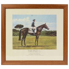
- Lithograph Depicting the Horse Winner of the 1994 Italian DerbyLocated in Milan, ITLithograph on paper made in the 1990s by the Ludovici typography in Rome from a painting depicting Time Star winner of the 1994 Italian Derby, mounted by Richard Quinn...Category
1990s Italian Sports Equipment and Memorabilia
MaterialsWood, Paper
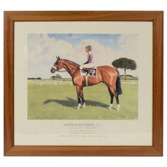
- Lithograph Depicting the Horse Winner of the 1990 Italian DerbyLocated in Milan, ITLithograph on paper made in the 1990s by the Salomone typography in Rome from a painting depicting Houmayoun, winner of the 1990 Italian Derby, ridden by Santiago Soto. With frame 66...Category
1990s Italian Sports Equipment and Memorabilia
MaterialsWood, Paper

You May Also Like
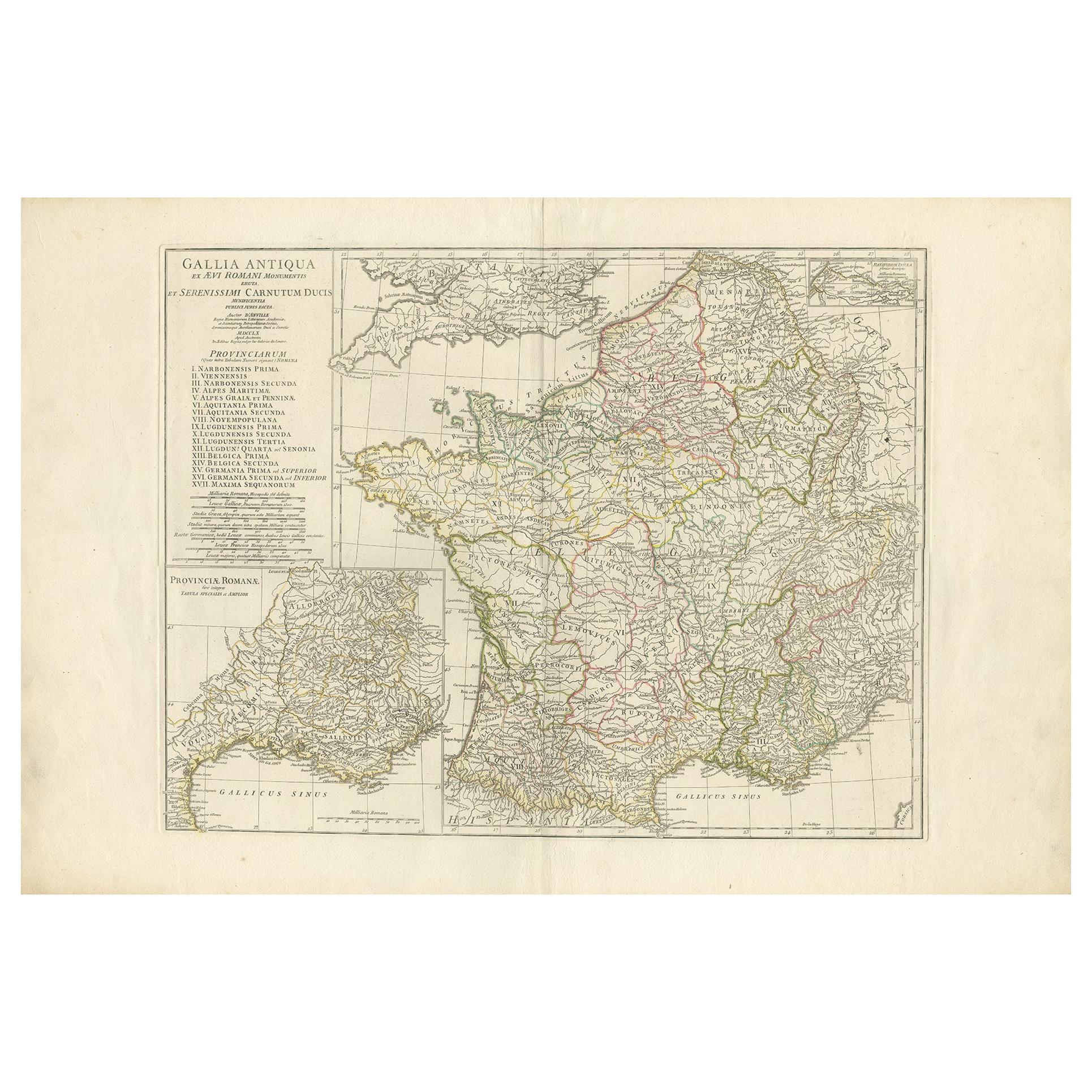
- Antique Map of France in Ancient Roman Times by d'Anville 'c.1795'Located in Langweer, NLAntique map titled 'Gallia Antiqua ex Aevi Romani Monumentis (..)'. Original, large, map of France in ancient Roman times. Bottom left, a large inset shows Gallia's southern most Rom...Category
Antique Late 18th Century Maps
MaterialsPaper
- 17th Century Map of Denmark by French Cartographer Sanson, Dated 1658By Nicolas SansonLocated in Copenhagen, K17th century map of Denmark by French cartographer Sanson. Nicolas Sanson (20 December 1600-7 July 1667) was a French cartographer, termed by some the creator of French geography an...Category
Antique 17th Century French Maps
MaterialsPaper
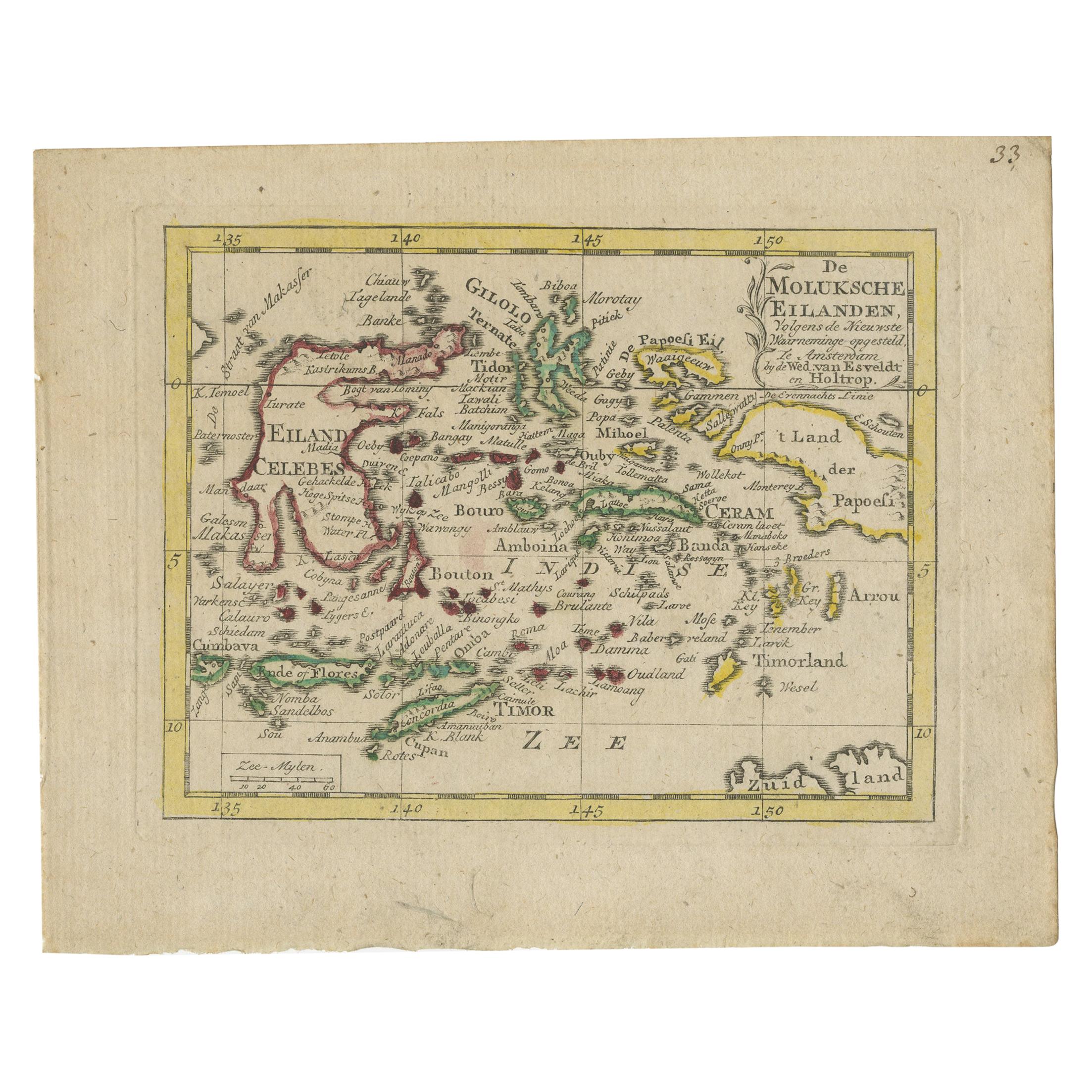
- Antique Miniature Map of the Maluku Islands by Van Esveldt & Holtrop 'c.1790'Located in Langweer, NLAntique map titled 'De Moluksche Eilanden'. Original antique miniature map of the Maluku Islands (Moluccas), an archipelago in eastern Indonesia. This map originates from an extremel...Category
Antique Late 18th Century Maps
MaterialsPaper
- Antique Map of Asia by Young, c.1860Located in Langweer, NLAntique map titled 'Asia'. Steel engraved map of Asia by Francis Young. Artists and Engravers: Engraved by Lewis Becker. Published by S.O. Beeton. We sell original antique maps to...Category
Antique 19th Century Maps
MaterialsPaper
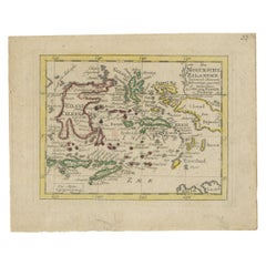
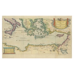
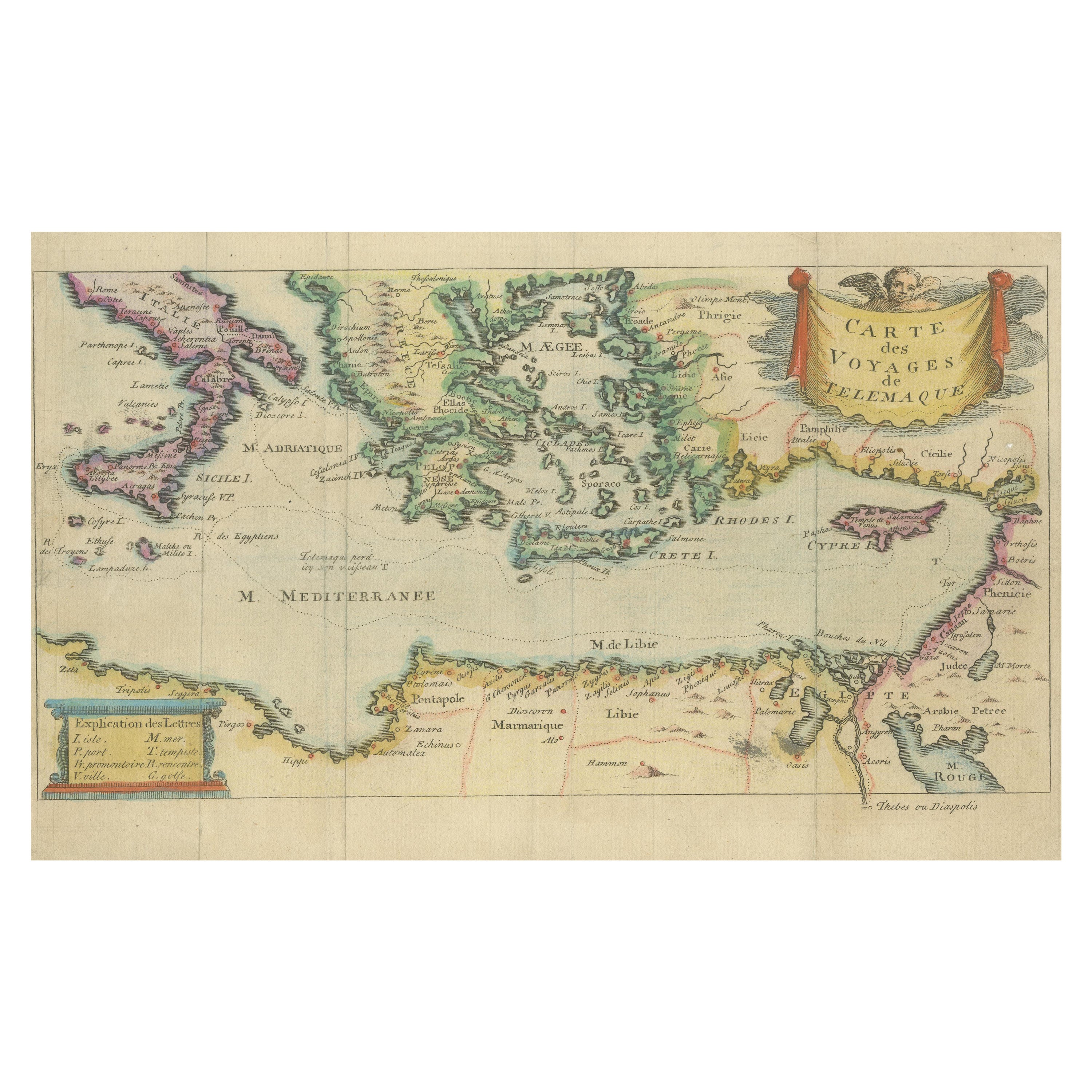
- Antique Map of the Mediterranean, Telemachus' Journey, Publ. Early 18th CenturyLocated in Langweer, NLTitle: Carte des voyages de Télémaque. Description: Antique map of Telemachus journey, the son of Odysseus and Penelope (Greek mythology ). This map appeared for the first time, e...Category
Antique Early 18th Century Maps
MaterialsPaper
- Original Hand-colored Antique Map of Denmark by S. Neele, 1790Located in Langweer, NLAntique very decorative engraving of Denmark engraved by S. Neele. Published in November 1790 by John Trusler. Tape on verso.Category
Antique Late 18th Century Maps
MaterialsPaper