Items Similar to Overscaled Framed Nolli Map of Rome
Want more images or videos?
Request additional images or videos from the seller
1 of 6
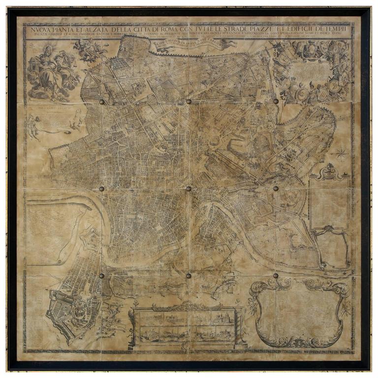
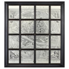
Overscaled Framed Nolli Map of Rome
$4,250
£3,209.43
€3,674.50
CA$6,002.11
A$6,552.87
CHF 3,435.40
MX$79,587.11
NOK 42,902.56
SEK 40,511.46
DKK 27,426.24
About the Item
Print of la pianta grande di Roma (The Large Plan of Rome), also known as The Nolli Map by Pietro Campana, Carlo Nolli, and Rocco Pozzi.
Framed in a 1.5” wide dark burl wood frame. Finished Size: 8’5” W x 7’ H
The Nolli map reflects Bufalini's map of 1551, with which Nolli readily invited comparison, however Nolli made a number of important innovations. Firstly, Nolli reorients the city from east (which was conventional at the time) to magnetic north, reflecting Nolli's reliance on the compass to get a bearing on the city's topography. Secondly, though he follows Bufalini in using a figure-ground representation of built space with blocks and buildings shaded in a dark poché, Nolli represents enclosed public spaces such as the colonnades in St. Peter's Square and the Pantheon as open civic spaces. Finally, the map was a significant improvement in accuracy, even noting the asymmetry of the Spanish Steps. The map was used in government planning for the city of Rome until the 1970s.
The map is framed with a vedute by Stefano Pozzi. A scaled-down edition, a collaboration between Nolli and Giovanni Battista Piranesi, was published in the same year the original map was finished. Piranesi was instrumental in getting the work printed; Giuseppe Vasi also contributed.
- Dimensions:Height: 84 in (213.36 cm)Width: 101 in (256.54 cm)Depth: 1.5 in (3.81 cm)
- Style:Renaissance (In the Style Of)
- Materials and Techniques:
- Period:
- Date of Manufacture:2024
- Production Type:New & Custom(One of a Kind)
- Estimated Production Time:Available Now
- Condition:
- Seller Location:New York, NY
- Reference Number:1stDibs: LU9013244815032
About the Seller
5.0
Vetted Professional Seller
Every seller passes strict standards for authenticity and reliability
Established in 2017
1stDibs seller since 2023
15 sales on 1stDibs
Typical response time: 5 hours
- ShippingRetrieving quote...Shipping from: West Point, GA
- Return Policy
Authenticity Guarantee
In the unlikely event there’s an issue with an item’s authenticity, contact us within 1 year for a full refund. DetailsMoney-Back Guarantee
If your item is not as described, is damaged in transit, or does not arrive, contact us within 7 days for a full refund. Details24-Hour Cancellation
You have a 24-hour grace period in which to reconsider your purchase, with no questions asked.Vetted Professional Sellers
Our world-class sellers must adhere to strict standards for service and quality, maintaining the integrity of our listings.Price-Match Guarantee
If you find that a seller listed the same item for a lower price elsewhere, we’ll match it.Trusted Global Delivery
Our best-in-class carrier network provides specialized shipping options worldwide, including custom delivery.More From This Seller
View All19th Century Italian Gilt Wall Hanging
Located in New York, NY
An exquisite 19th century Italian wall hanging featuring intricate hand-carved shell and scroll motifs, accentuated with original gilt and polychrome decoration. This decorative pane...
Category
Antique Early 19th Century Italian Decorative Art
Materials
Fruitwood, Giltwood
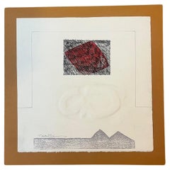
Digital Print Paper
Located in New York, NY
Digital Print Paper
Category
Late 20th Century Modern Prints
Materials
Paper
$200 Sale Price
20% Off
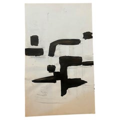
Teitelbaum Mixed Media Art on Paper
Located in New York, NY
Teitelbaum Mixed Media Art on Paper
Category
Late 20th Century North American Modern Drawings
Materials
Paper
$420 Sale Price
41% Off
Mixed Media Art on Paper
Located in New York, NY
Mixed Media Art on Paper
Category
Late 20th Century North American Modern Drawings
Materials
Paper
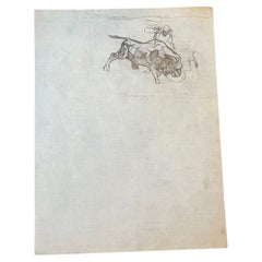
Pencil Sketch of Bull of Paper
Located in New York, NY
Pencil Sketch of Bull of Paper
Category
Late 20th Century North American Modern Drawings
Materials
Paper
$380 Sale Price
58% Off
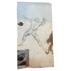
Mixed Media Figure Sketch on Paper
Located in New York, NY
Mixed Media Figure Sketch on Paper
Category
20th Century North American Modern Drawings
Materials
Paper
You May Also Like
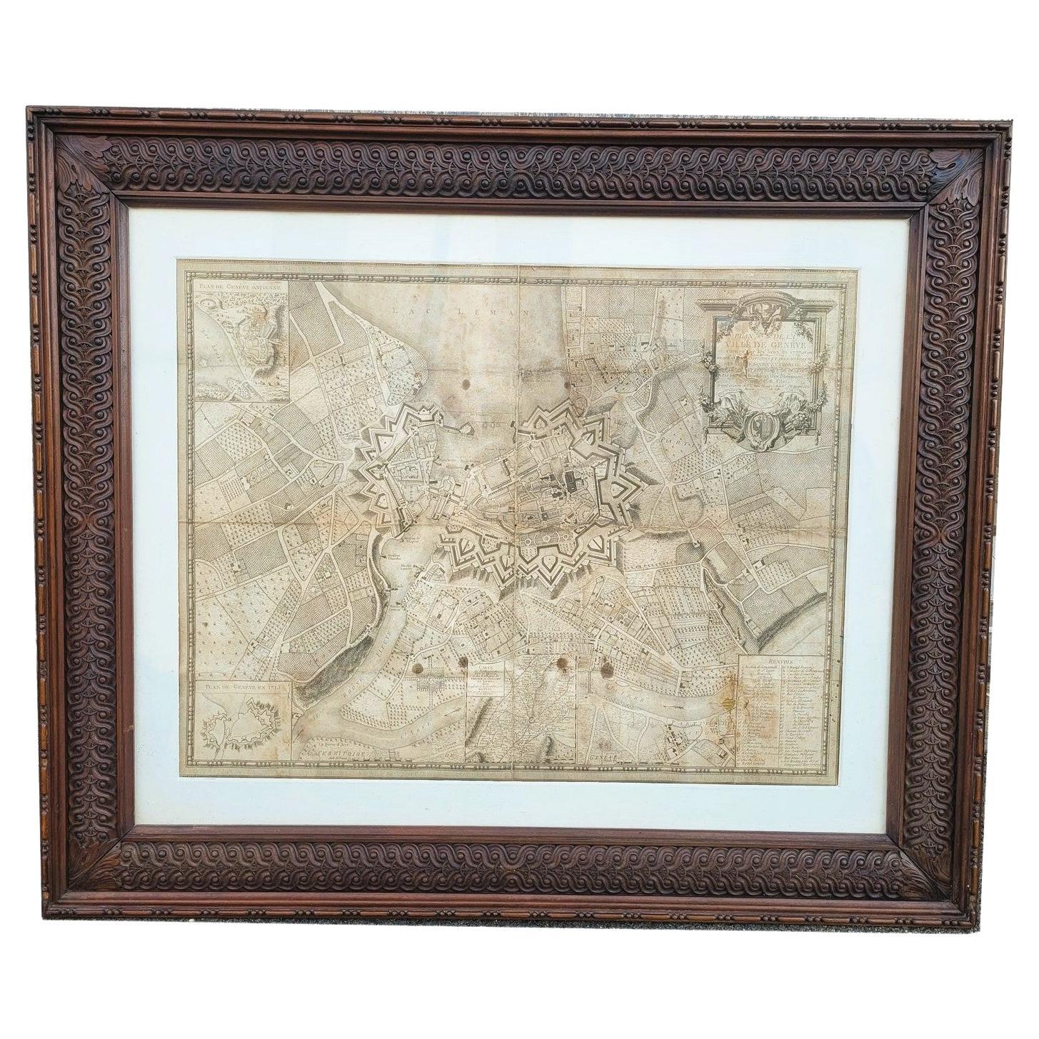
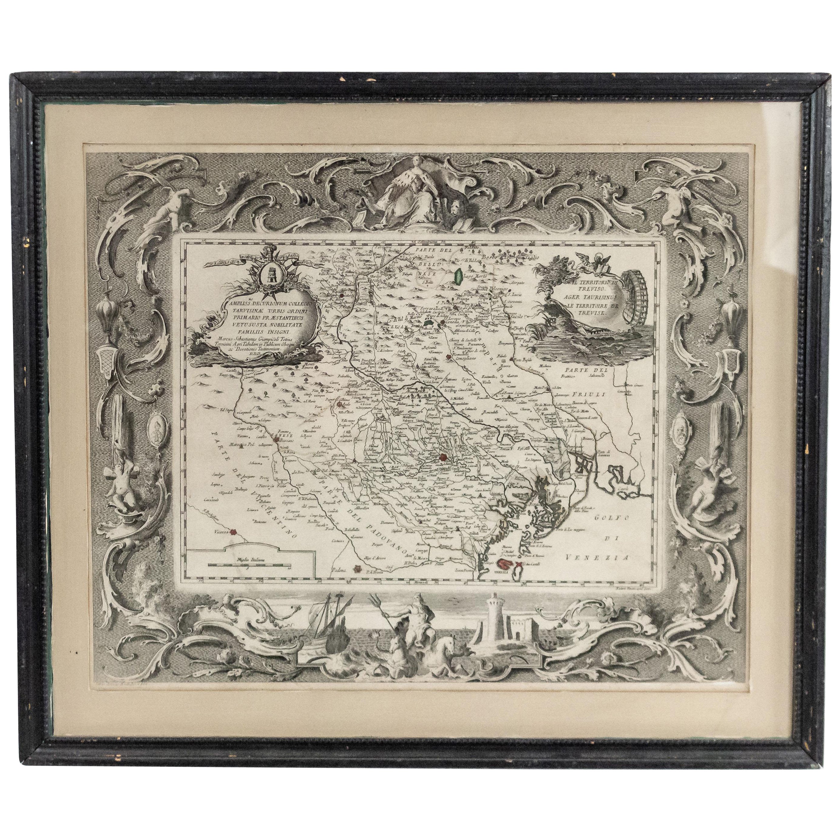
Map Of The City Of Geneva, Framed Engraving, Late 18th Century
Located in MARSEILLE, FR
Beautiful engraving representing the city of Geneva corrected in 1775 and 1793
The engraving also presents inserts with the evolution of the city, the plan of ancient Geneva and ...
Category
Antique Late 18th Century Swiss Louis XV Prints
Materials
Paper

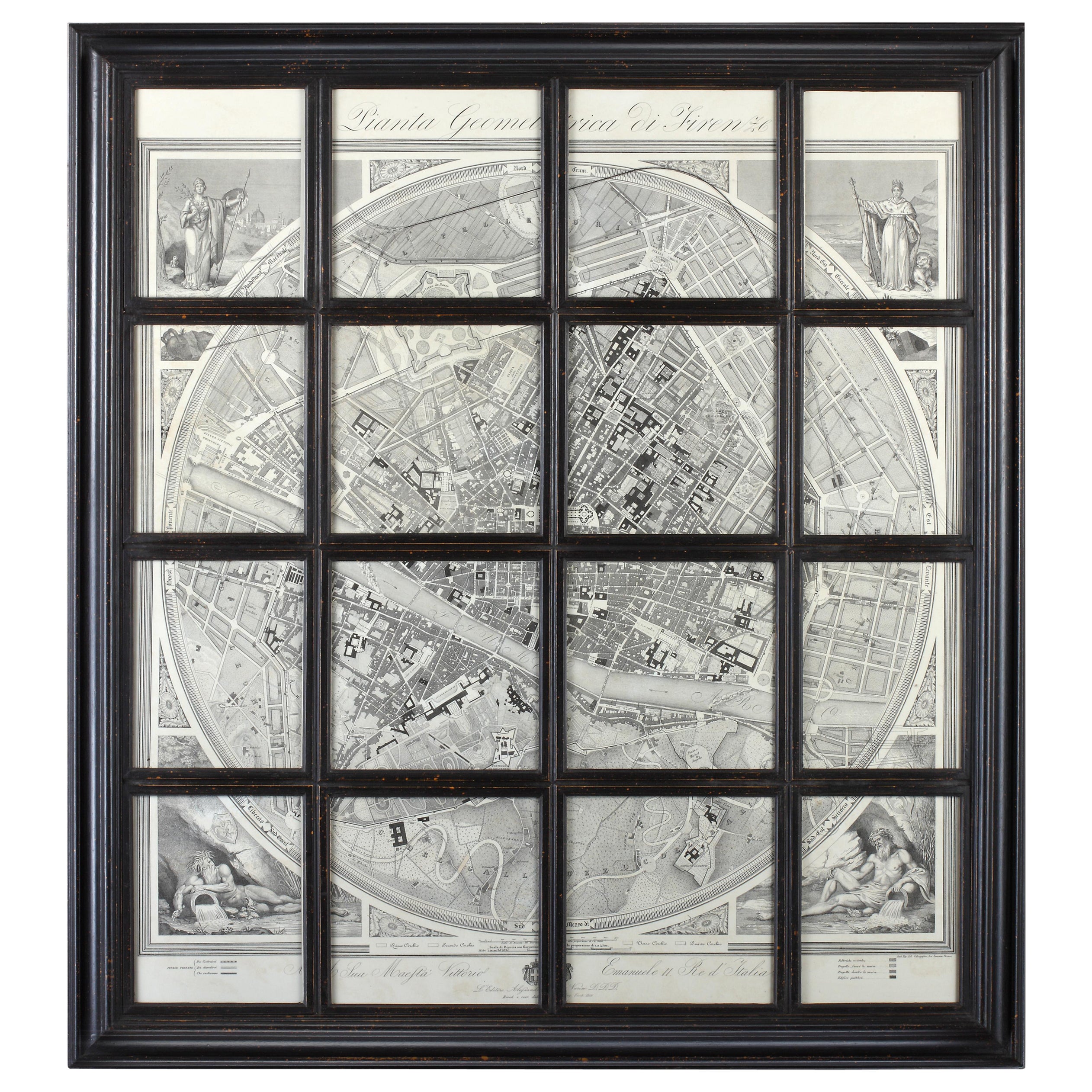
Geometric Map of Florence with Black Lacquered Frame Old Map Reproduction
Located in Scandicci, Florence
GEOMETRIC PLAN OF THE CITY OF FLORENCE WHICH IS TRUE AS 1:4.500, showing expansions and urban planning changes. The entire print, reproduced on paper, is framed with a "window" struc...
Category
21st Century and Contemporary Italian Prints
Materials
Wood, Paper
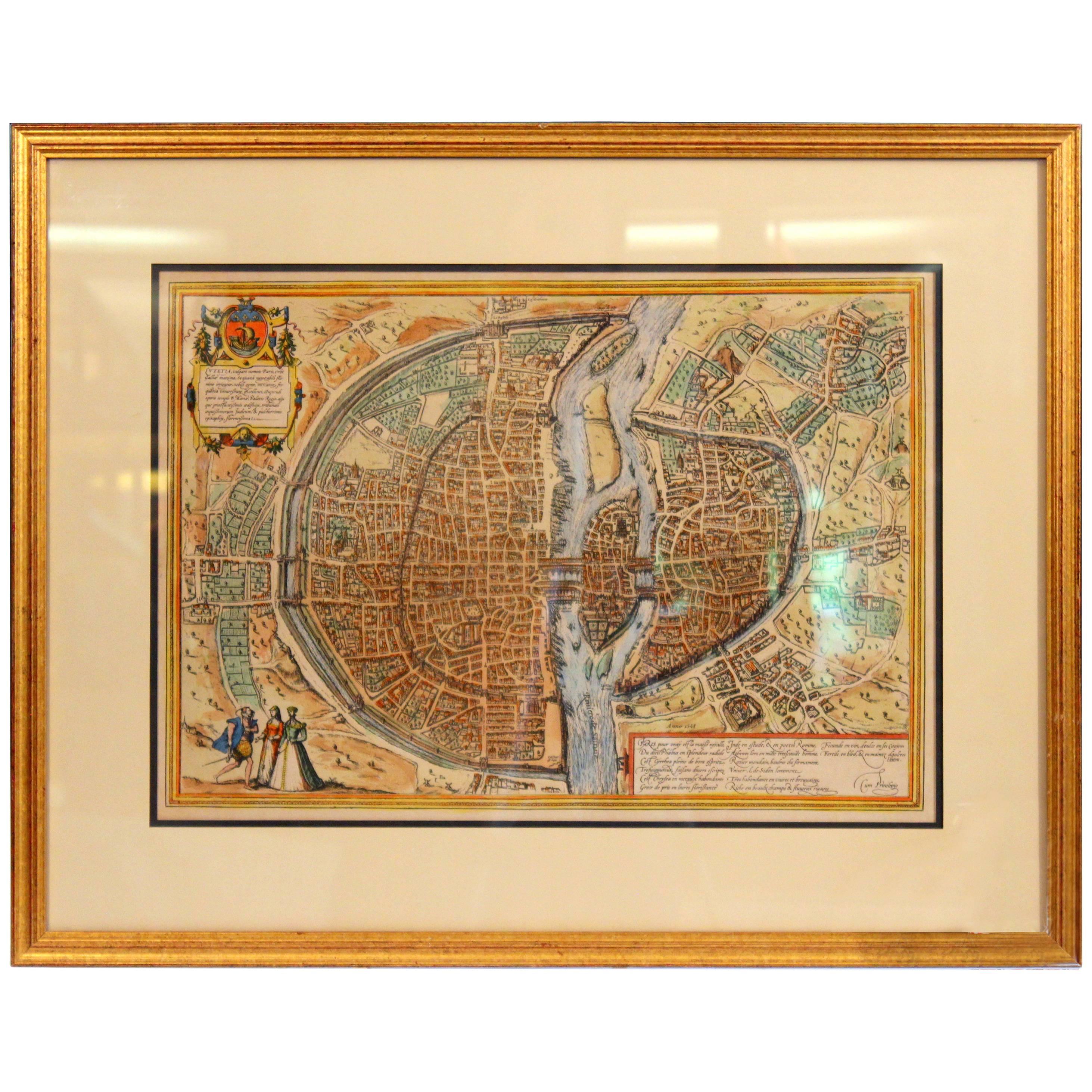
Old Engraving Map of Paris French Munster 16th Century Walled City Framed
Located in Wilton, CT
Old or antique colored engraving of Munster's 1572 map of Paris, circa 19th or 20th century (Frame was not opened to look for a publication ...
Category
20th Century French Renaissance Prints
Materials
Paper
$950 Sale Price
36% Off
Map of Rome
Located in Los Angeles, CA
A beautifully reproduced antique map of Rome. A work of remarkable lithographic skill and artistry, the work features a delicate yet bold latin he...
Category
2010s American Victorian Drawings
Materials
Wood, Paper
$2,875 / item
Italian Neo-Classic Map of Italy
Located in Queens, NY
Italian Neo-classic style framed print of map of Italy
Category
20th Century Italian Neoclassical Paintings
Materials
Paper
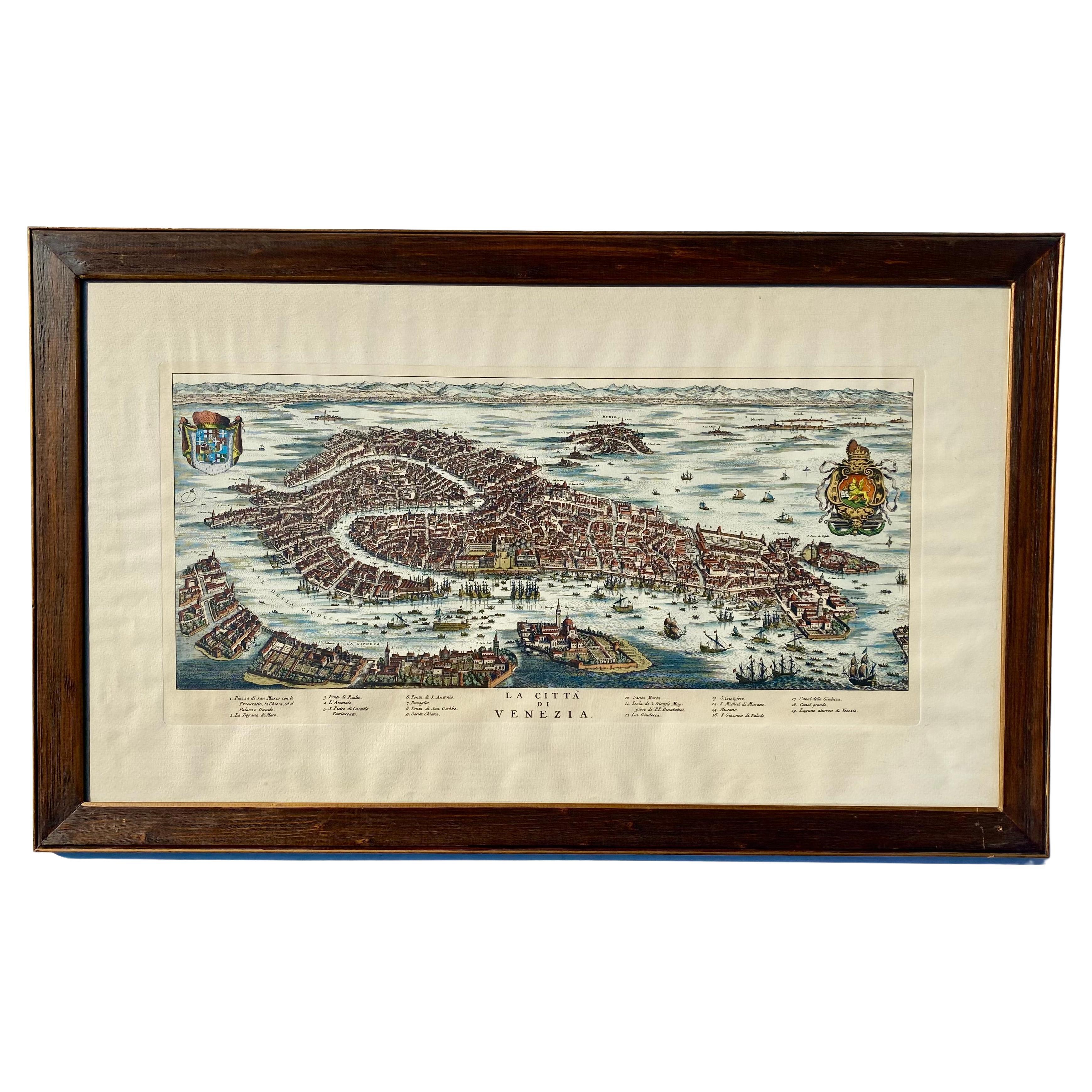
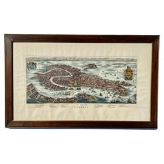
Vintage Italian Print Map of Venice in Freijo Wood Frame with Rosettes
Located in Miami, FL
Vintage Italian Print Map of Venice in Freijo Wood Frame with Rosettes
Offered for sale is a print of the Venetian map of 16th-century Venice. ...
Category
20th Century Prints
Materials
Wood, Paper
More Ways To Browse
Dark Burl Wood
Carlo Pozzi
Vintage Deer Plate
Vintage Kimono Fabrics
Vintage Numbers
Vintage Olympic Torch
Vintage Wall Vases
Wall Vase Germany
Walnut Display Stand
Walnut French Country Chest
Water Buffalo Sculpture
Wood Carved Zebra
Wood Giraffe Sculpture
Wood Nativity
Wood Sculpture Ming Dynasty
Wooden Dome
Wooden Iron Chests
Wrought Iron Cafe Table