Want more images or videos?
Request additional images or videos from the seller
1 of 5

Vincenzo Maria Coronelli
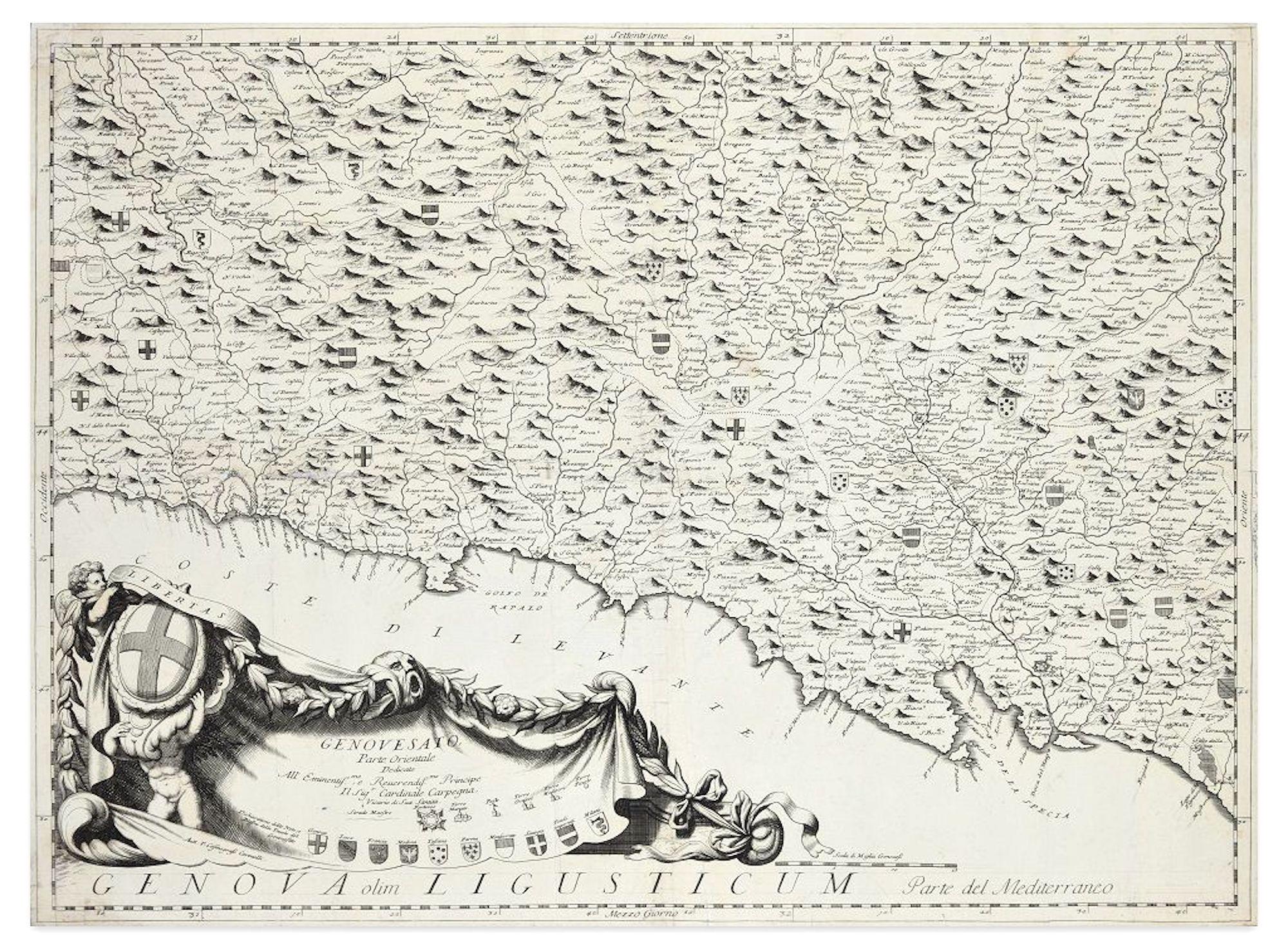
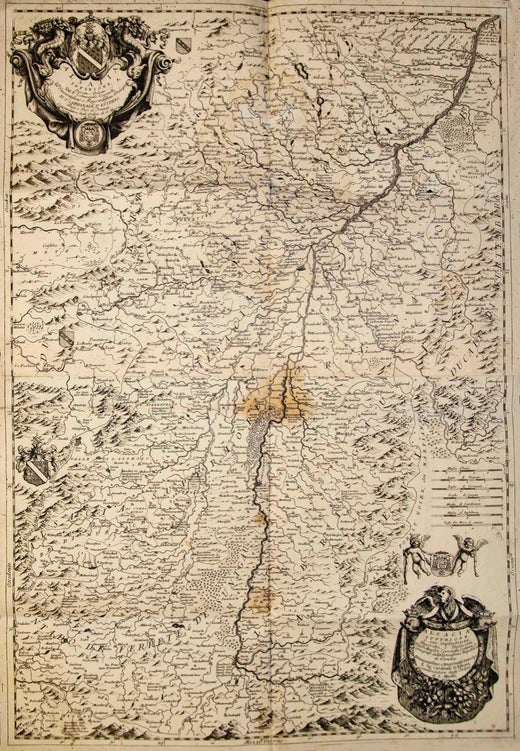
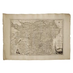
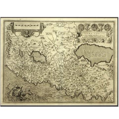
Valsavia Superiore e Inferiore - Etching by V. M. Coronelli - Late 17th century

Late 17th century

$472.87
£356.02
€400
CA$652.63
A$731.09
CHF 380.97
MX$8,917.84
NOK 4,841.21
SEK 4,564.92
DKK 3,045.20

About the Item

Valsavia Superiore e Inferiore is a beautiful historical etching on ivory-colored paper, realized by Vincenzo Maria Coronelli (1650-1718) in the late 17th century. This interesting document is in good conditions, except for some visible folds of the paper, and discolorations of colors and of the black ink, and preserved its charm and beauty. This artwork has ten small holes along the folds of the sheet. Vincenzo Maria Coronelli O.F.M.Conv. (Venice, August 16, 1650 - Venice, December 9, 1718) was an Italian geographer, cartographer, cosmographer and encyclopedist.
  • Creator:
    Vincenzo Maria Coronelli (1650 - 1718, French)
  • Creation Year:
    Late 17th century
  • Dimensions:
    Height: 35.44 in (90 cm)Width: 24.81 in (63 cm)Depth: 0.04 in (1 mm)
  • Medium:
  • Period:
    Late 17th Century
  • Framing:
    Framing Options Available
  • Condition:
    Insurance may be requested by customers as additional service, contact us for more information.
  • Gallery Location:
    Roma, IT
  • Reference Number:
    Seller: M-1168891stDibs: LU65037775832

More From This Seller

View All
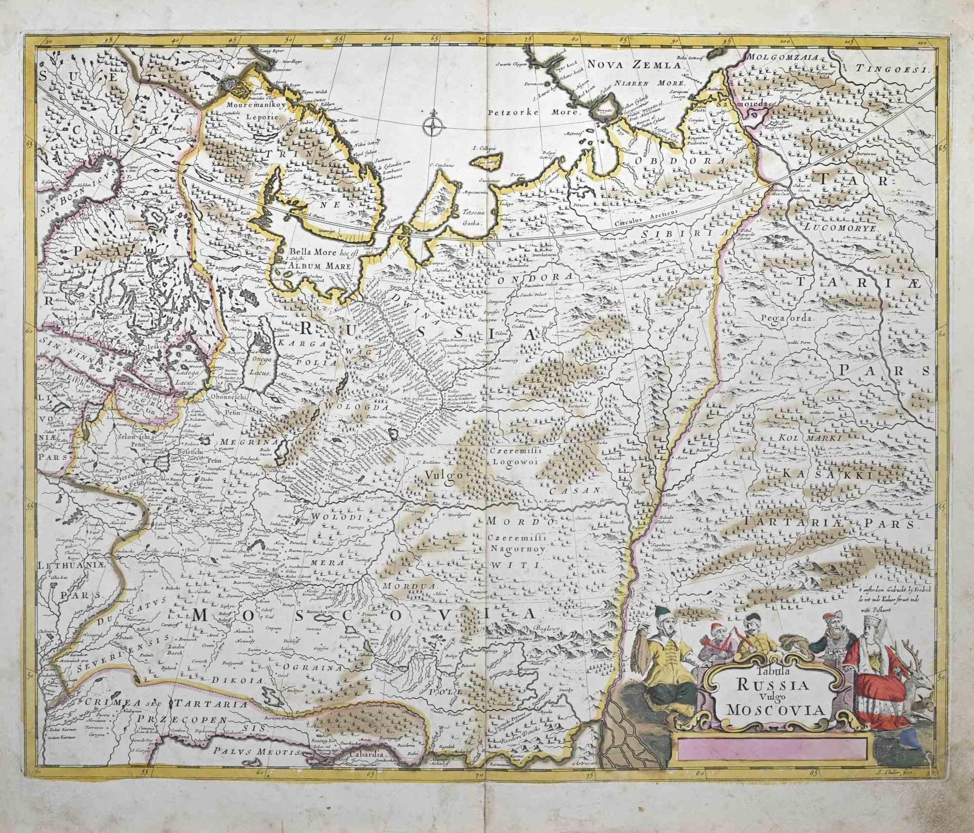
Tabula Russia Vulgo Moscovia - Etching by Frederick de Wit - 1680ca
By Frederick de Wit
Located in Roma, IT
This double-page etching with contemporary coloring, entitled Tabula Russia vulgo Moscovia, was realized by the cartographer Frederick de Wit for the famous Atlas published in Amster...
Category

1680s Modern Figurative Prints

Materials

Etching

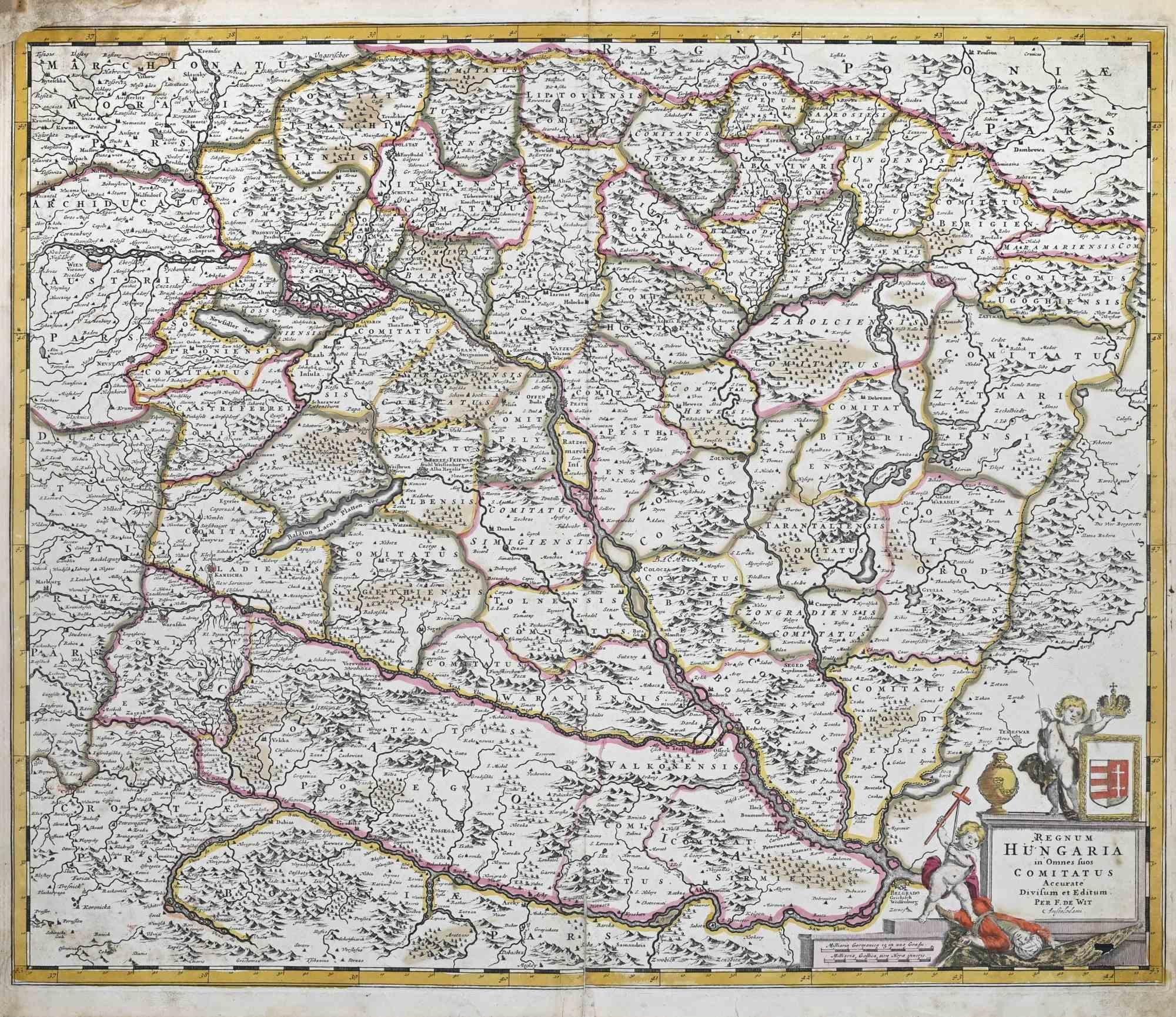
Regnum Hungariae - Etching by Frederick de Wit - 1680ca
By Frederick de Wit
Located in Roma, IT
This double-page etching with contemporary coloring, entitled Regnum Hungariae, was realized by the cartographer Frederick de Wit for the famous Atlas published in Amsterdam in ca. 1...
Category

1680s Modern Figurative Prints

Materials

Etching

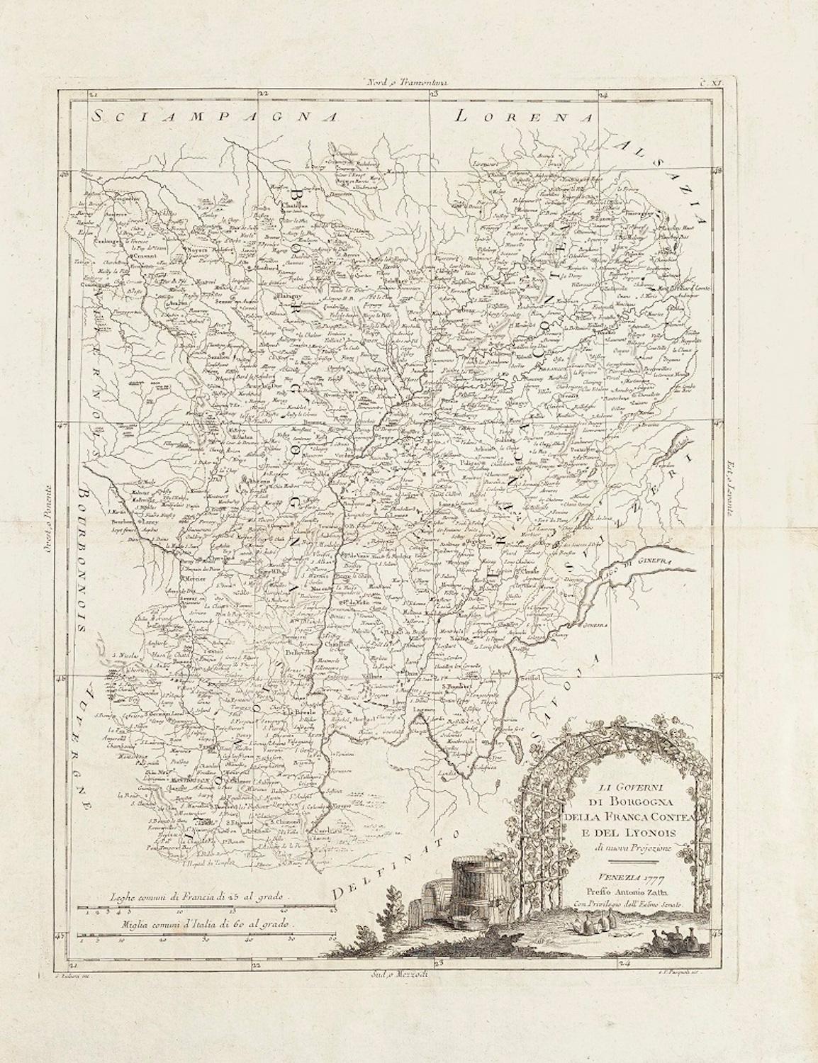
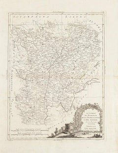
Li Governi di Borgogna - Ancient Map - 1777
Located in Roma, IT
Li Governi di Borgogna is an original black and white etching on paper, printed by Antonio Zatta in Venice, 1777. Original Title: Li Governi di Borgogna della Franca Contea e del Ly...
Category

1770s Modern Landscape Prints

Materials

Etching

Regni Hungariae et Regionum - Etching by Frederick de Wit - 1680ca
By Frederick de Wit
Located in Roma, IT
This triple-page etching with contemporary coloring, entitled Regni Hungariae et Regionum, was realized by the cartographer Frederick de Wit for the famous Atlas published in Amsterd...
Category

1680s Modern Figurative Prints

Materials

Etching

Achaiae Noua - Etching by Johannes Janssonius - 1650s
By Johannes Janssonius
Located in Roma, IT
Achaiae Noua is an ancient map realized in 1650 by Johannes Janssonius (1588-1664). Good conditions. From Atlantis majoris quinta pars, Orbem maritimum [Novus Atlas, volume V: cart...
Category

1650s Modern Figurative Prints

Materials

Etching

Regni Sueciae Tabula Generalis - Etching by Frederick de Wit - 1680ca
By Frederick de Wit
Located in Roma, IT
This double-page etching with contemporary coloring, entitled Regni Sueciae Tabula Generalis, was realized by the cartographer Frederick de Wit for the famous Atlas published in Amst...
Category

1680s Modern Figurative Prints

Materials

Etching

You May Also Like

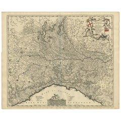
Antique Map of Northern Italy by F. de Wit, 1690
Located in Langweer, NL
A very decorative map centered on Genua, and including the towns of Milan, Torino, Parma, Cremona, etc. Decorative title cartouche upper right, five putti holding the arms of the reg...
Category

Antique Late 17th Century Maps

Materials

Paper

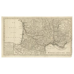
France Map 1757 – Southern Provinces by Isaak Tirion in Dutch Engraving
Located in Langweer, NL
France Map 1757 – Southern Provinces by Isaak Tirion in Dutch Engraving This original copperplate engraving published in 1757 by Isaak Tirion in Amsterdam presents a highly detailed...
Category

Antique Mid-18th Century Dutch Maps

Materials

Paper

Engraving Depicting 16th Century Map of Terra Sancta
Located in Buchanan, MI
Abraham Ortelius (Flemish, 1527-1598) Terra Sancta. Engraving depicting 16th century map of Terra Sancta. Site 15" x 19.5.
Category

Antique 18th Century and Earlier Maps

Materials

Paper

Antique Map of Piedmont, Savoy and Liguria by Justus Danckerts, Amsterdam c.1690
Located in Langweer, NL
Map of Piedmont, Savoy and Liguria by Justus Danckerts, Amsterdam c.1690 This richly detailed and decorative map, titled *Tabula Generalis Ducatus Sabaudiae Principatus Pedemontii C...
Category

Antique Late 17th Century Maps

Materials

Paper

Antique Map of the Region of Cologne and Liege by Scherer, 1699
Located in Langweer, NL
Antique map titled 'Archpiescopatus Coloniensis (..) Episcopatus Leodiensis (..).' Detailed uncommon map of the Archbishopric of Cologne and the Bishopric of Liege/Luik. Source unkno...
Category

Antique 17th Century Maps

Materials

Paper

Southern Greece: A Large 17th Century Hand-colored Map By Sanson and Jaillot
By Nicholas Sanson d'Abbeville
Located in Alamo, CA
This large original hand-colored copperplate engraved map of southern Greece and the Pelopponese Peninsula entitled "La Moree Et Les Isles De Zante, Cefalonie, Ste. Marie, Cerigo & C...
Category

1690s Landscape Prints

Materials

Engraving