
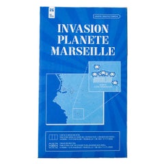
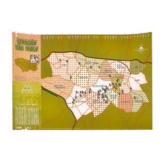
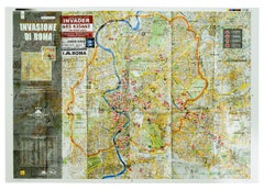
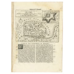
InvaderInvader Invasion Map of Djerba Island (Djerba Map Folded)2020
2020
About the Item
- Creator:Invader (1969, French)
- Creation Year:2020
- Dimensions:Height: 8.7 in (22.1 cm)Width: 4.7 in (11.94 cm)
- Movement & Style:
- Period:
- Condition:Issued folded so has fold lines. Would look great unfolded and framed.
- Gallery Location:Englishtown, NJ
- Reference Number:1stDibs: LU1624216091962
Invader
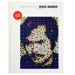
French artist Invader stages art “invasions” in cities around the world. He installs pixelated pieces inspired by 8-bit arcade video game characters on the walls of buildings in busy urban areas. Many of these mosaics depict the iconic aliens from the 1978 game Space Invaders, but Invader also uses characters from games like Super Mario Bros. and Pac-Man. He describes his work as contemporary street art. Though known for his public art, Invader also makes smaller-scale abstract prints and tile kits.
The real name of the man behind the Invader persona is purported to be Franck Slama. However, he keeps his identity private and his face a secret, wearing a mask in public and working under the cloak of night. Invader told The Talks magazine that not even his parents know about his life as a mosaicist — they think he works in the construction industry as a tiler.
Born in Paris in 1969, Invader grew up playing the ‘70s and ‘80s video games he now emulates in tile. He went on to graduate from the École des Beaux-Arts in Paris. He is believed to have begun tagging the streets of his native city with urban artist Zevs at the end of the 1990s. In 1998, he branched out on his own with the “Space Invaders” project.
Invader chose 8-bit characters as the subject of his work because he sees them as the icons of our digital world. He seeks not only to free the characters from their video games but also to liberate art itself from museums and institutions. Each "invasion" begins by scouting the city and finding the perfect spots for anywhere from 20 to 50 of his installations. Invader's creations have appeared in 79 cities in 20 different countries.
While committed to bringing art to the streets, Invader has shown his street art at museums and galleries around the globe. His solo exhibitions include Almine Rech Gallery in Paris, Citylights Gallery in Melbourne, Lazarides Gallery in London, PMQ in Hong Kong and Mima Museum in Brussels. His work is also immensely popular at art auctions and sells for tens of thousands of dollars.
On 1stDibs, find authentic Invader prints, mixed media works and other art.
- ShippingRetrieving quote...Shipping from: Englishtown, NJ
- Return Policy
More From This Seller
View All21st Century and Contemporary Street Art Prints and Multiples
Color
21st Century and Contemporary Street Art Prints and Multiples
Offset
21st Century and Contemporary Contemporary Prints and Multiples
Color
21st Century and Contemporary Contemporary Prints and Multiples
Color
21st Century and Contemporary Street Art More Art
Paper, Ink, Cardboard
21st Century and Contemporary Street Art Prints and Multiples
Color
You May Also Like
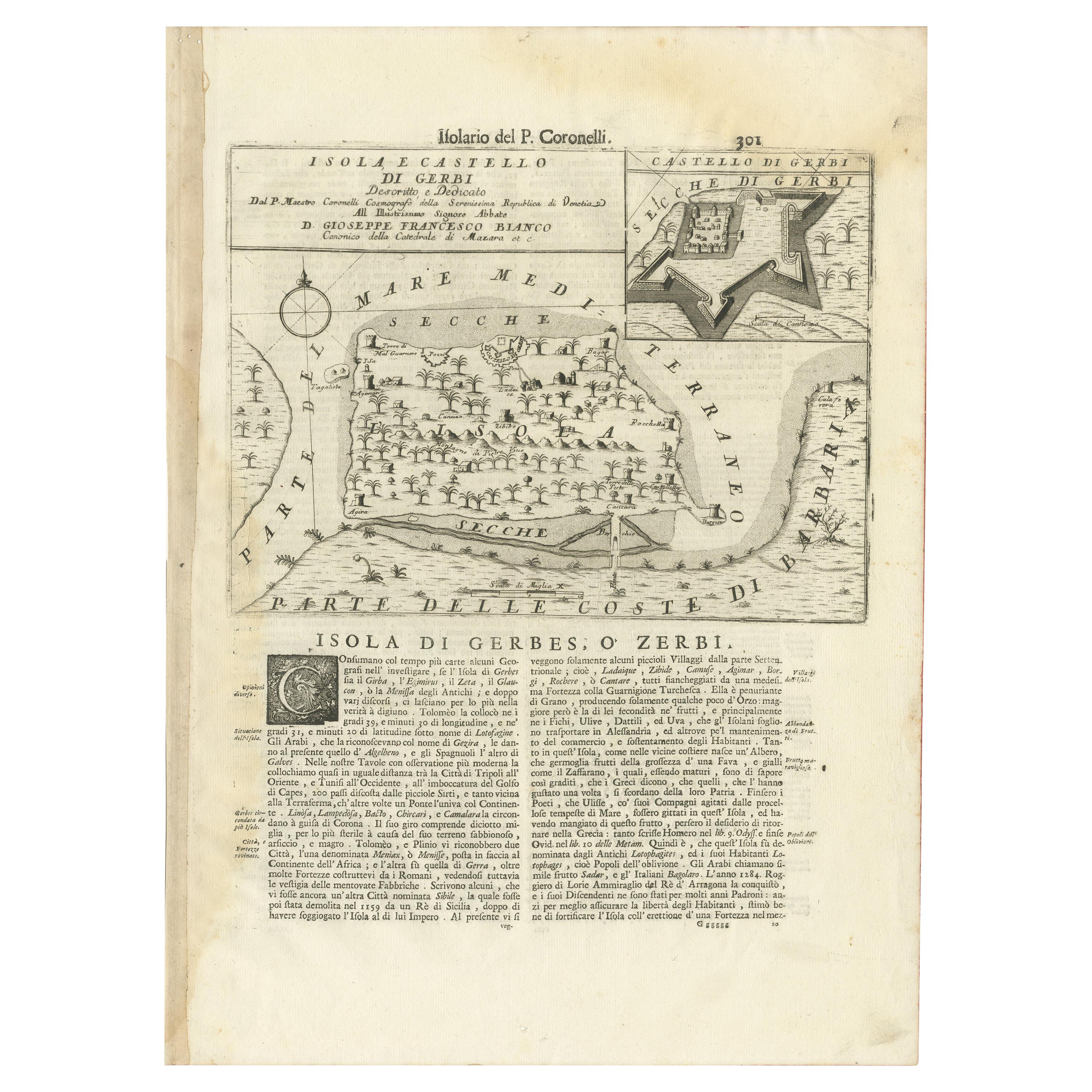
Antique Late 17th Century Prints
Paper
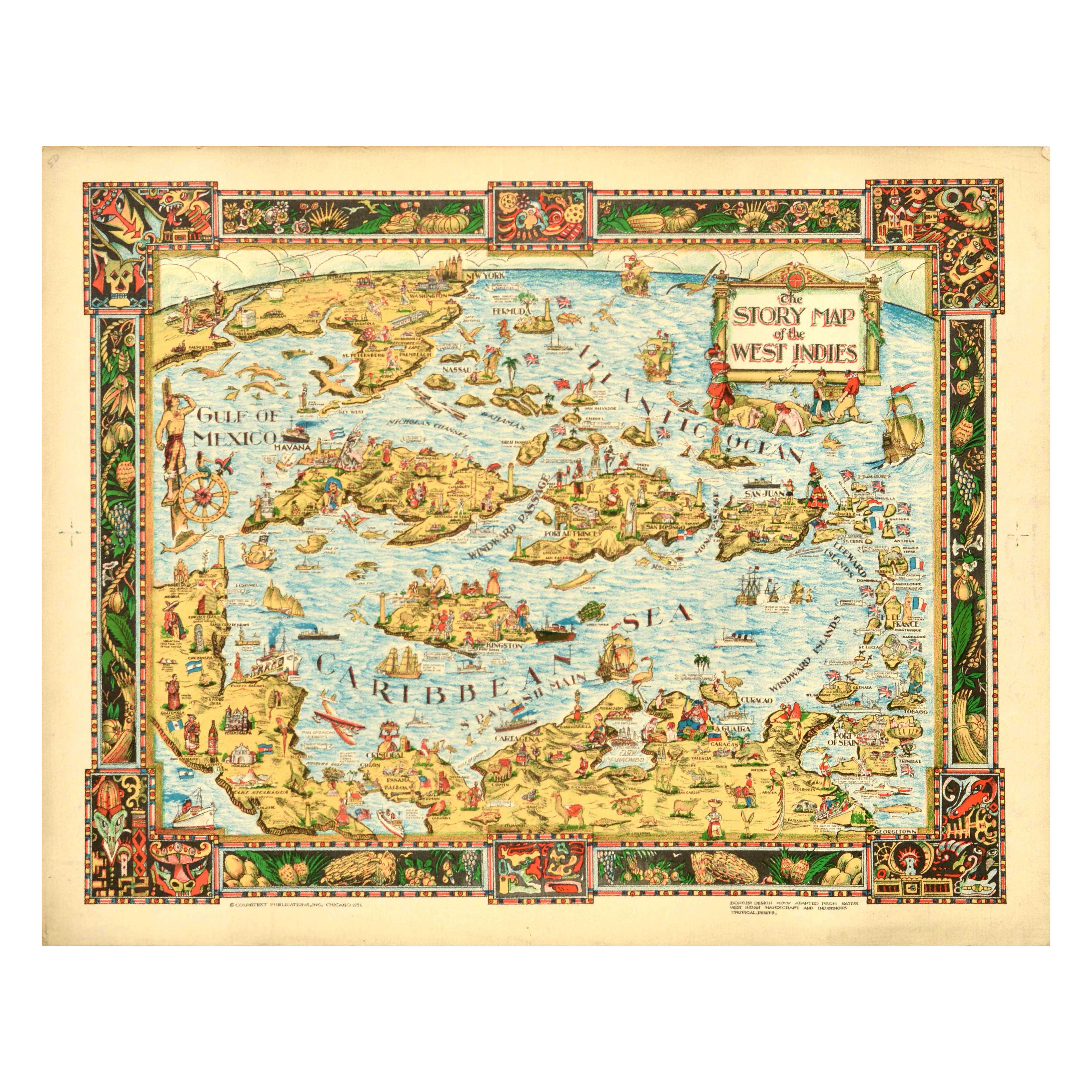
Vintage 1930s American Posters
Paper
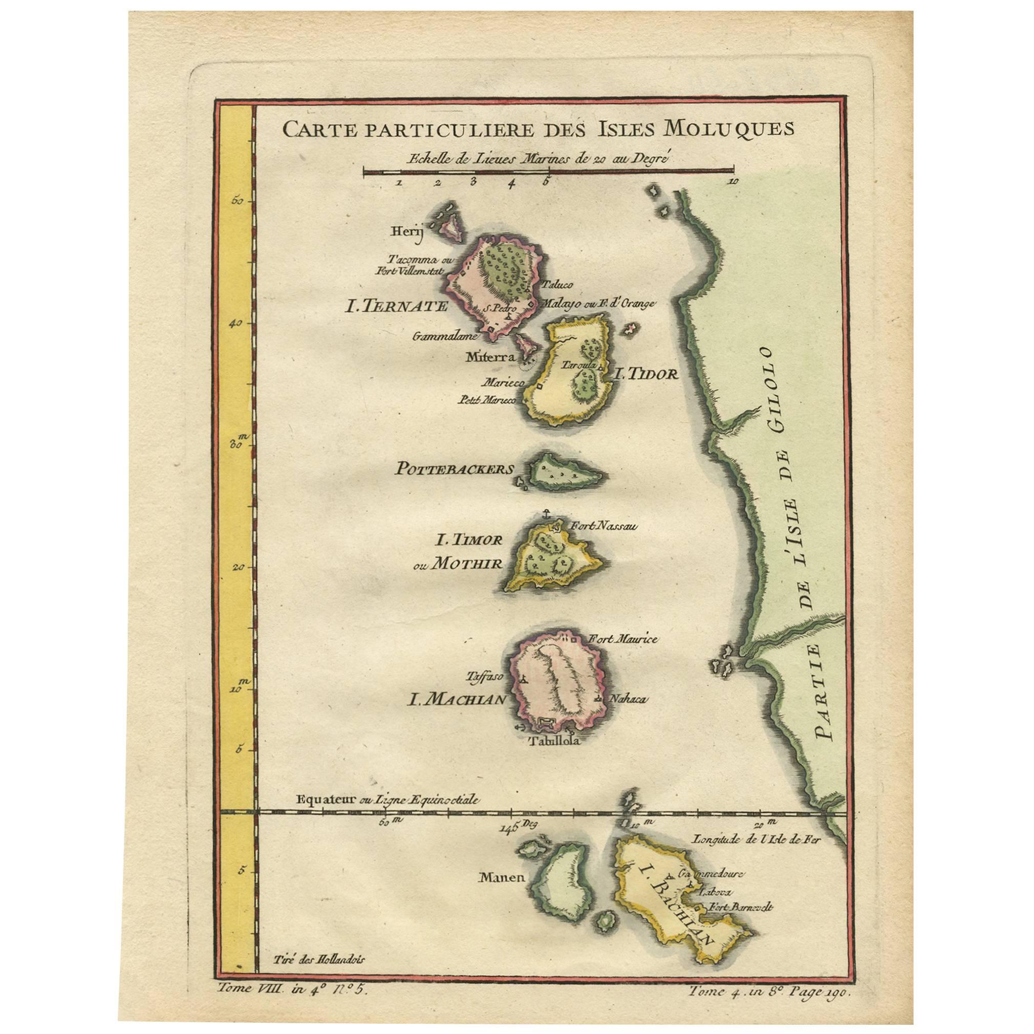
Antique Mid-18th Century Maps
Paper
Antique 1740s Maps
Paper
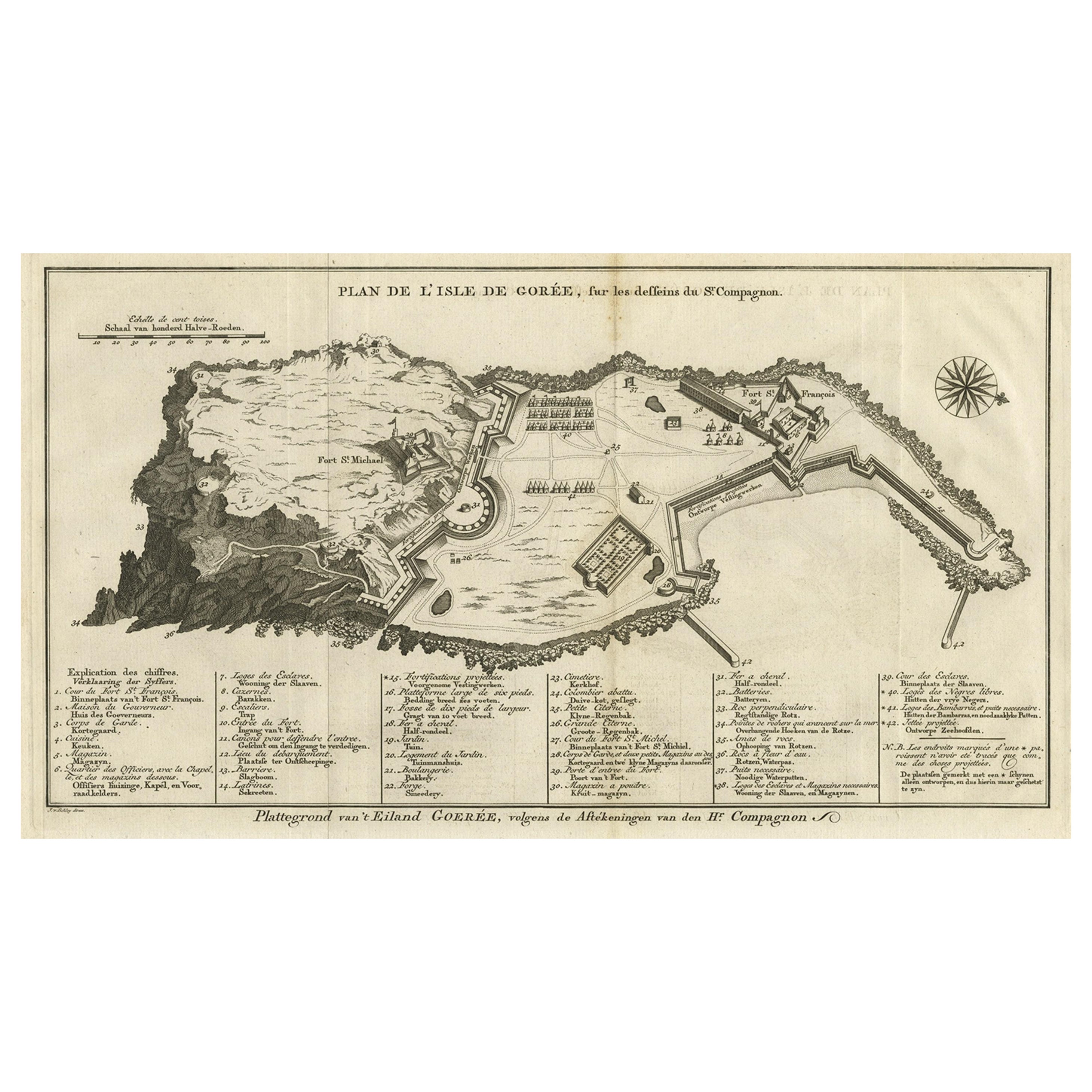
Antique Mid-18th Century Maps
Paper
Antique 1730s Maps
Paper
