Want more images or videos?
Request additional images or videos from the seller
1 of 16

Abraham Ortelius
Northern Italy: A 16th Century Hand-colored Map by Abraham Ortelius

1584

About the Item

This is a framed 16th century hand-colored copperplate map of northern Italy entitled "Veronae Urbis Territorium a Bernardo Bragnolo Descriptium" by Abraham Ortelius from his atlas "Theatrum Orbis Terrarum", which was the first modern atlas of the world, with the first volume published in 1570. This map was part of a subsequent volume, published in Antwerp in 1584. It was based on an earlier map by Bernardo Brognoli. This beautiful map of northern Italy is focussed on Verona and its environs, including Mantua. Lake Garda and the South Tyrol mountains are prominently depicted. There is a very large striking cartouche in the upper left and a decorative distance scale in the lower right. This striking hand-colored map of northern Italy is presented in a gold-colored wood frame and an olive green-colored mat. It is glazed with UV conservation glass. All mounting materials used are archival. The frame measures 21.5" high by 28" wide by 0.75" deep. There is a central vertical fold, as issued, with slight separation of the lower portion of the fold. There are faint spots in the upper and right margins, but the map is otherwise in very good condition. Abraham Ortelius (also known as Ortels, Orthellius, and Wortels) (1527-1598) was a Dutch cartographer, geographer, and cosmographer. He began his career as a map colorist. In 1547 he entered the Antwerp guild of St Luke as an "illuminator of maps". He had an affinity for business from an early age and most of his journeys before 1560, were for business. He was a dealer in antiques, coins, maps, and books. 
His business income allowed him to acquire an extensive collection of medals, coins, and antiques, as well as a large library of books. In 1560, he travelled to Trier, Lorraine, and Poitiers with the great cartographer, Gerard Mercator. During this trip he was impressed by Mercator’s influence which inspired him to pursue a career as a scientific geographer. He rapidly became proficient at mapmaking and printing, completing his “Mappemonde", a large and ambitious eight-sheet wall map of the world in 1564. Ortelius also published a map of Egypt in 1565, a map of the Holy Land, a plan of Brittenburg Castle on the coast of the Netherlands, and a map of Asia in the late 1560's. Ortelius went on to create the first modern atlas, the 'Theatrum Orbis Terrarum' (Theatre of the World) in 1570, which is often considered as the official beginning of the Golden Age of Netherlandish cartography. The maps were engraved by Franz Hogenberg, who himself achieved fame for his publication with Georg Braun of the 2nd atlas ever created, the 'Civitates Orbis Terrarum', focussed on views of European towns and cities. Ortellius reportedly assisted in the creation of this atlas. In 1573, Ortelius published seventeen supplementary maps under the title of 'Additamentum Theatri Orbis Terrarum'. In 1575 he was appointed geographer to the king of Spain, Philip II. By the time of Ortelius' death in 1598, a total of 25 editions of 'Theatrum Orbis Terrarum' were published, including editions in Latin, Italian, German, French, and Dutch. Ortelius is now considered one of the most famous and respected mapmakers from the golden age of Dutch cartography and printmaking, as well as academic geography. He is believed to be the first person to imagine that the continents were joined before drifting to their present positions. References: Van der Krogt 3, 7111:31 Van Den Broecke 120
  • Creator:
    Abraham Ortelius (1527 - 1598, Dutch)
  • Creation Year:
    1584
  • Dimensions:
    Height: 21.5 in (54.61 cm)Width: 28 in (71.12 cm)Depth: 0.75 in (1.91 cm)
  • Medium:
  • Movement & Style:
  • Period:
  • Condition:
  • Gallery Location:
    Alamo, CA
  • Reference Number:
    Seller: # 14241stDibs: LU117329590852

More From This Seller

View All
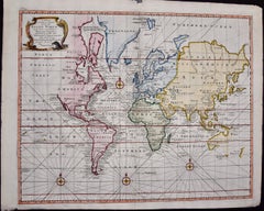
Map of the World: An Original 18th Century Hand-colored Map by E. Bowen
Located in Alamo, CA
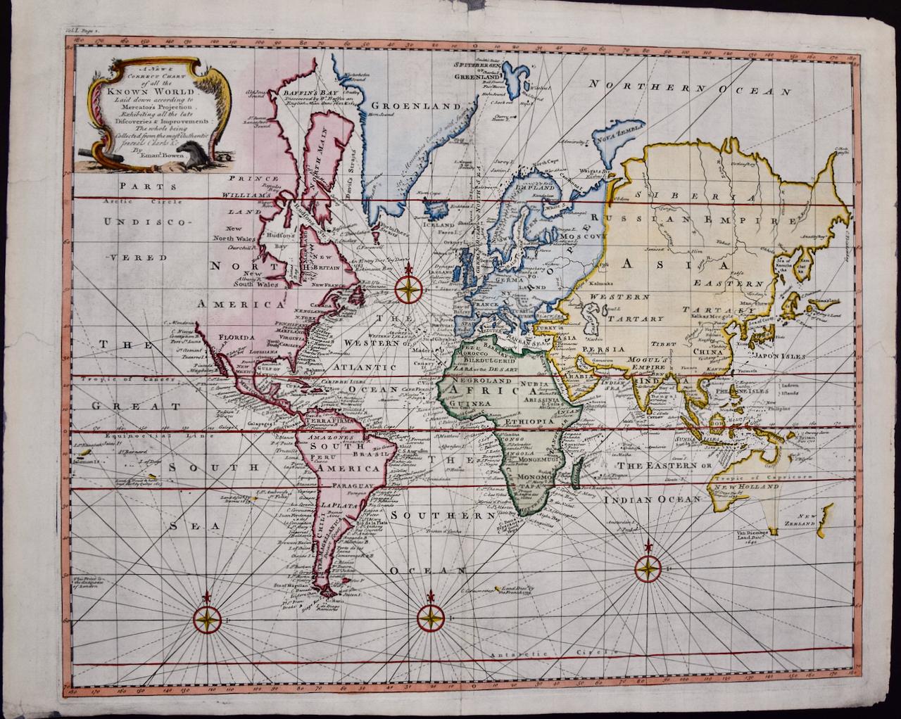
This is an original 18th century hand-colored map entitled "A New & Correct Chart of All The Known World Laid down according to Mercator's Projection" by Emanuel Bowen. It was published in 1744 in London in John Harris's "Navigantium atque Itinerantium Bibliotheca" or "A Complete Collection of Voyages and Travels". This highly detailed and colorful map depicts the world. as it was known in the mid 18th century. A majority of the northern and central portions of Canada and America are left blank due to the purity of knowledge at the time this map was published. The map is embellished with four Compass Roses in the lower left, lower center, lower right and center, along with many rhumb lines. There a is a decorative title cartouche in the upper left. This colorful, attractive, historical and interesting 1744 map presents the entire world on Mercator's projection as it was understood in the middle part of the 18th century, before the landmark explorations of Captain’s Cook, Vancouver, Wilkes and others. It is an example of a nautical chart, a type of map that was designed specifically for use by mariners. The map is centered on the equator and includes both the Eastern and Western Hemispheres. The continents of North America, South America, Europe, Africa, and Asia are depicted, as well as various islands in the Atlantic, Pacific, and Indian Oceans. The map is laid out according to the Mercator projection, a type of cylindrical map projection that was developed in the 16th century by Flemish cartographer Gerardus Mercator. This projection has the advantage of preserving angles and shapes, making it useful for navigation. The map presents a paucity of inland detail, particularly for the Americas, but major cities, geographical landmarks, and regions are included. Ocean currents and Tradewinds are identified, as well as the magnetic declination lines or magnetic variance, which refers to the difference between true north and compass north. The continents are color coded, enhancing the beauty of this map. The three compass roses indicate the directions of the cardinal points. The depiction of the western coast of America, the Pacific and Australia are interesting. There was very little exploration of Australia between the navigations of William Damper in 1699 and Tobias Furneaux in 1773. Most of the maps detail relies on the 17th century Dutch expeditions to Australia's western coast, by Abel Tasman and William Janszoon. Van Diemen's Land (Tasmania) and New Guinea appear connected to the Australian continent. New Zealand appears as a single landmass. North of New Zealand there is a landmass labelled 'Ter d' St. Esprit' which probably represents the New Hebrides Islands. This map precedes the accurate exploration of the South Pacific and east coast of Australia by Captain James Cook later in the 18th century. The map includes ‘Drakes' Port,' the site where Sir Francis Drake supposedly landed in 1579 during his 1579 circumnavigation of the globe. Here he claimed territory for England, restocked, and repaired his vessels. Drake named the region New Albion. The exact location of Drake's Port is a cartographic mystery. Drake's Harbor is believed to be in the region of San Francisco Bay, Bodega Bay, San Pablo Bay...
Category

Mid-18th Century Old Masters Landscape Prints

Materials

Engraving

Map of the East Indies: An Original 18th Century Hand-colored Map by E. Bowen
Located in Alamo, CA
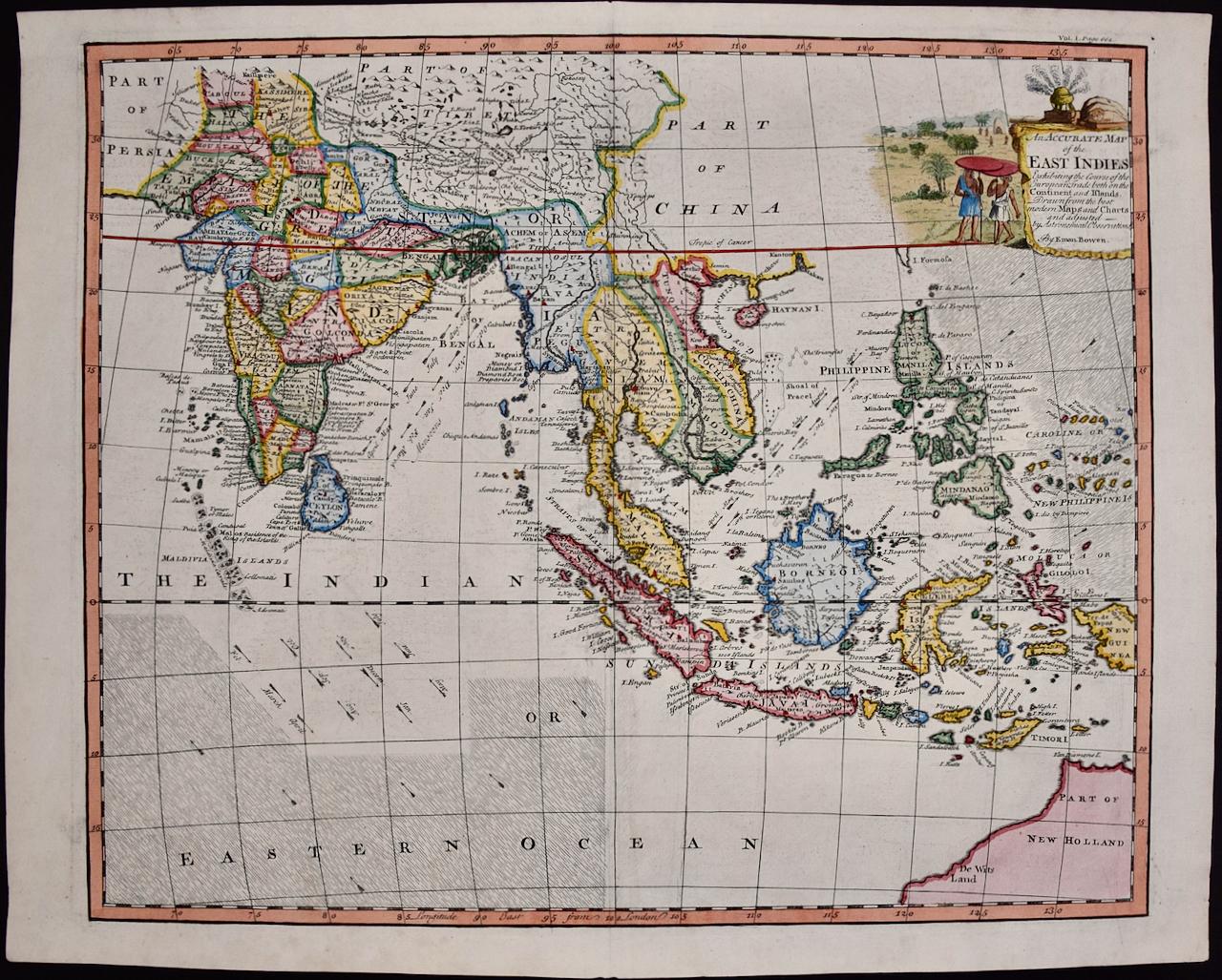
This is an original 18th century hand-colored map entitled "An Accurate Map of the East Indies Exhibiting the Course of the European Trade both on the Continent and Islands" by Emanu...
Category

Mid-18th Century Old Masters Landscape Prints

Materials

Engraving

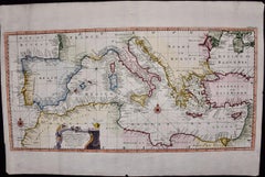
Mediterranean and Adriatic Seas: Original 18th Century Hand-colored Map by Bowen
Located in Alamo, CA
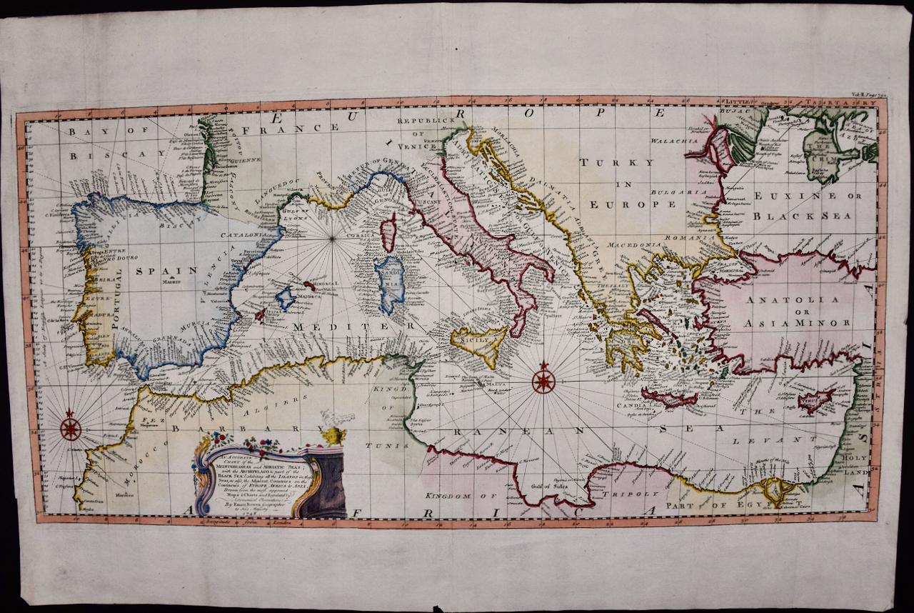
This is an original 18th century hand-colored map entitled "An Accurate Chart of The Mediterranean and Adriatic Sea's; with the Archipelago & Part of the Black Sea. Exhibiting all th...
Category

Mid-18th Century Old Masters Landscape Prints

Materials

Engraving

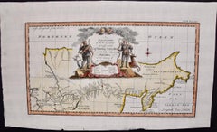
Siberia as Explored by Behring: Original 18th Century Hand-colored Map by Bowen
Located in Alamo, CA
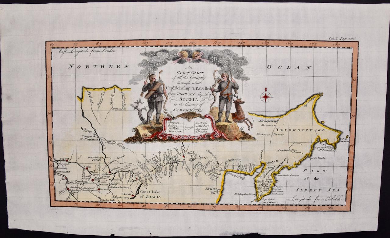
This is an original 18th century hand-colored map entitled "An Exact Chart of all the Countries through which Capt. Behring Travelled from Tobolski, Capital of Siberia to the Country...
Category

Mid-18th Century Old Masters Landscape Prints

Materials

Engraving

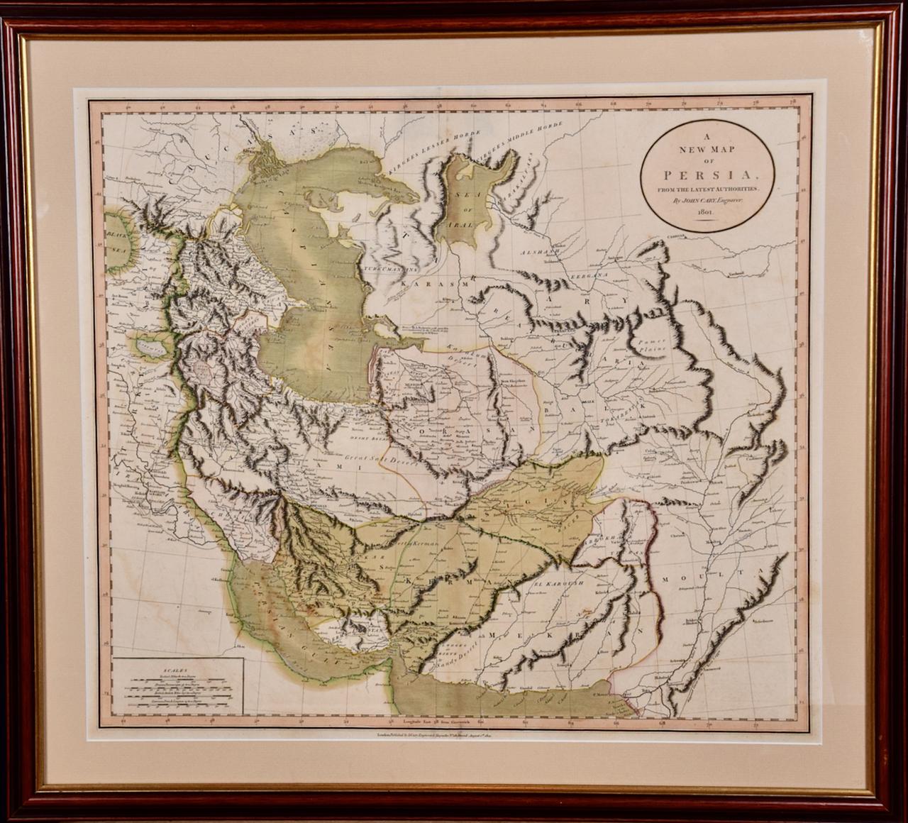
Persia & Afghanistan: A Framed Hand-colored 17th Century Map by John Cary
By John Cary
Located in Alamo, CA
This colorful and detailed early 18th century copperplate map by John Cary entitled "A New Map of Persia from the Latest Authorities" was published in London in 1801. It depicts Persia, the region of modern day Afghanistan, the Caspian Sea, the Sea of Aral, the Persian Gulf...
Category

Early 19th Century Old Masters More Prints

Materials

Engraving

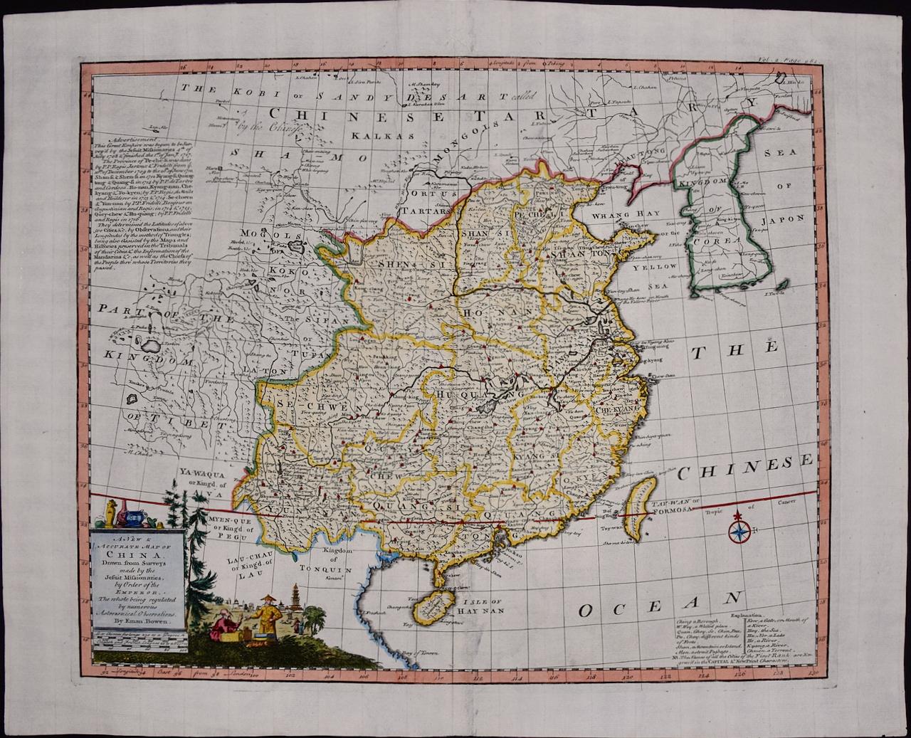
China: An Original 18th Century Hand-colored Map by E. Bowen
Located in Alamo, CA
This is an original 18th century hand-colored map entitled "A New & Accurate Map of China, Drawn from Surveys made by the Jesuit Missionaries, by order of the Emperor. The whole bein...
Category

Mid-18th Century Old Masters Landscape Prints

Materials

Engraving

You May Also Like

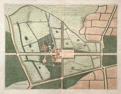
Plan of the Park, Garden and Plantations of Goodwood, 18th century engraving
By Colen Campbell
Located in Melbourne, Victoria
Plan of the Park, Garden and Plantations of Goodwood in Sussex the Seat of his Grace the Duke of Richmond and Lenox &c Copper-line engraving with later hand-colouring by Hendrik Hul...
Category

18th Century English School Landscape Prints

Materials

Engraving

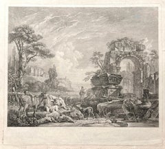
Les Bergers Romains, landscape with Roman ruins, 18th century engraving
Located in Melbourne, Victoria
Les Bergers Romains Copper-line engraving by Jean Jacques Leveau (1729-1786) after Pierre Mettay (1728-1759). C1755. Proof, before lettering. Laid, watermarked paper. A landscap...
Category

18th Century French School Landscape Prints

Materials

Engraving

Carte Particuliere Des Coste De Bretagne qui Comprend Morlaix
By Pierre Mortier
Located in Paonia, CO
Carte Particuliere Des Costes De Bretagne qui Comprend Morlaix, Saint Paul de Leon, les Sept Isles, et L’Isle. Faite par ordre Exprez Du Roy de France is from the collection of ch...
Category

1690s Landscape Prints

Materials

Engraving

Lafitte's Blacksmith House (a bar named for a pirate on Bourbon St, New Orleans)
By Frederick Mershimer
Located in New Orleans, LA
Lafitte's Blacksmith Shop is a New Orleans landmark at 941 Bourbon St. Like most New Orleans legends, history of Lafitte's Blacksmith Shop is a gumbo of tru...
Category

Early 2000s Contemporary Landscape Prints

Materials

Mezzotint, Aquatint

Foggy Night (the way home or a Stephen King setting)
By Carol Wax
Located in New Orleans, LA
This impression is #22 Carol Wax originally trained to be a classical musician at the Manhattan School of Music but fell in love with printmaking. Soon after she began engraving mezzotints she was asked by the renowned print dealer Sylvan Cole to exhibit at Associated American Artists Gallery, launching her career as a professional artist/printmaker. With the publication of her book, The Mezzotint: History and Technique, published by Abrams, 1990 and 1996, Carol added author and teacher to her credits. In the ensuing years she has expanded her repertoire of mediums beyond printmaking into other works on paper and painting. In compositions reflecting an appreciation for antiquated machinery and vintage textiles, Wax creates imagery that, in her own words, “… speaks to an inner life perceived in inanimate objects.” She uses stylization and imagination to reinvent subjects, transforming an ordinary typewriter into a monumental icon...
Category

2010s American Modern Landscape Prints

Materials

Engraving, Mezzotint

A small copse in a field.
By Robert Kipniss
Located in New York, NY
The drypoint engraving entitled "A small copse in a field" was created by Robert Kipniss in 2016. Printed in an edition of 16 - this impression is signed in pencil and inscribed “12...
Category

21st Century and Contemporary Modern Landscape Prints

Materials

Engraving, Drypoint

Recently Viewed

View All