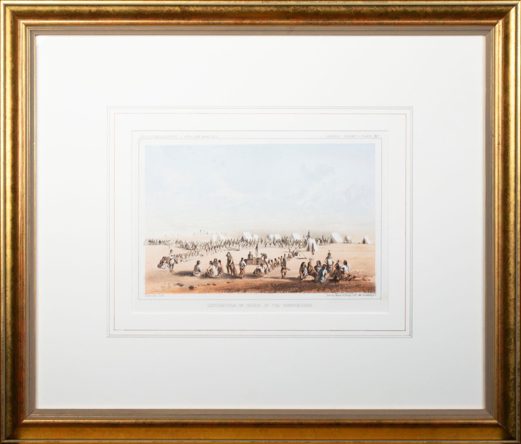
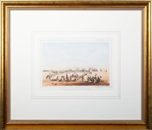
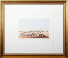
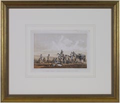
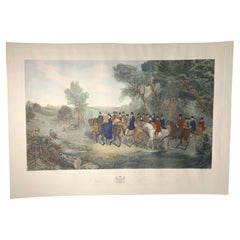
John Mix Stanley'Distribution of Goods to the Gros Ventres' lithograph by John Mix Stanleyca. 1855
ca. 1855
About the Item
- Creator:John Mix Stanley (1814 - 1872)
- Creation Year:ca. 1855
- Dimensions:Height: 17 in (43.18 cm)Width: 20 in (50.8 cm)
- Medium:
- Movement & Style:
- Period:
- Condition:Print in overall good condition; some localized foxing and discoloration..
- Gallery Location:Milwaukee, WI
- Reference Number:Seller: 10919g1stDibs: LU60536341162
John Mix Stanley
John Mix Stanley was an artist-explorer, an American painter of landscapes, and Native American portraits and tribal life. Born in the Finger Lakes region of New York, he started painting signs and portraits as a young man, but in 1842 he traveled to the American West to paint Native American life. In 1846, he exhibited a gallery of 85 of his paintings in Cincinnati and Louisville. During the Mexican-American War, he joined Colonel Stephen Watts Kearney's expedition to California and painted accounts of the campaign, as well as aspects of the Oregon territory. Stanley continued to travel and paint in the West, and mounted a major exhibit of more than 150 works at the Smithsonian Institution in 1852. Although he had some Congressional interest in purchasing the collection, he was unsuccessful in completing a sale, and never recovered his expenses for a decade of intensive work and travel. In 1854, he exhibited a 42-scene panorama of western scenes in Washington, DC, Baltimore, New York and London, but it has been lost. More than 200 of his paintings, maps and other work being held at the Smithsonian were lost in an 1865 fire. The irreparable loss of most of his works cast an eclipse over Stanley's reputation in American art history for some time, but today a few of his surviving works are held by national and numerous regional museums.
- ShippingRetrieving quote...Shipping from: Milwaukee, WI
- Return Policy
More From This Seller
View All1850s Romantic Landscape Prints
Lithograph
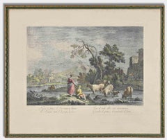
1850s Romantic Landscape Prints
Lithograph
1850s Romantic Landscape Prints
Lithograph
1850s Romantic Landscape Prints
Lithograph
1850s Romantic Landscape Prints
Lithograph
1870s Academic Figurative Prints
Engraving

You May Also Like
Early 19th Century Landscape Prints
Aquatint
19th Century Modern Figurative Prints
Lithograph

1850s Modern Figurative Prints
Lithograph
1840s Modern Figurative Prints
Lithograph
20th Century English Prints
Paper
Late 18th Century Old Masters Figurative Prints
Etching