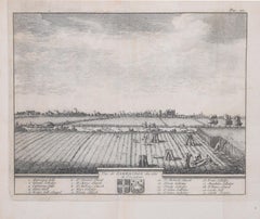
Items Similar to Pieter van der Aa: Map of Cambridge, after David Loggan
Want more images or videos?
Request additional images or videos from the seller
1 of 7
Pieter Van Der AaPieter van der Aa: Map of Cambridge, after David Loggan1707
1707
$469.26
£350
€403.08
CA$658.30
A$718.32
CHF 371.64
MX$8,593.31
NOK 4,694.67
SEK 4,408.22
DKK 3,010.26
About the Item
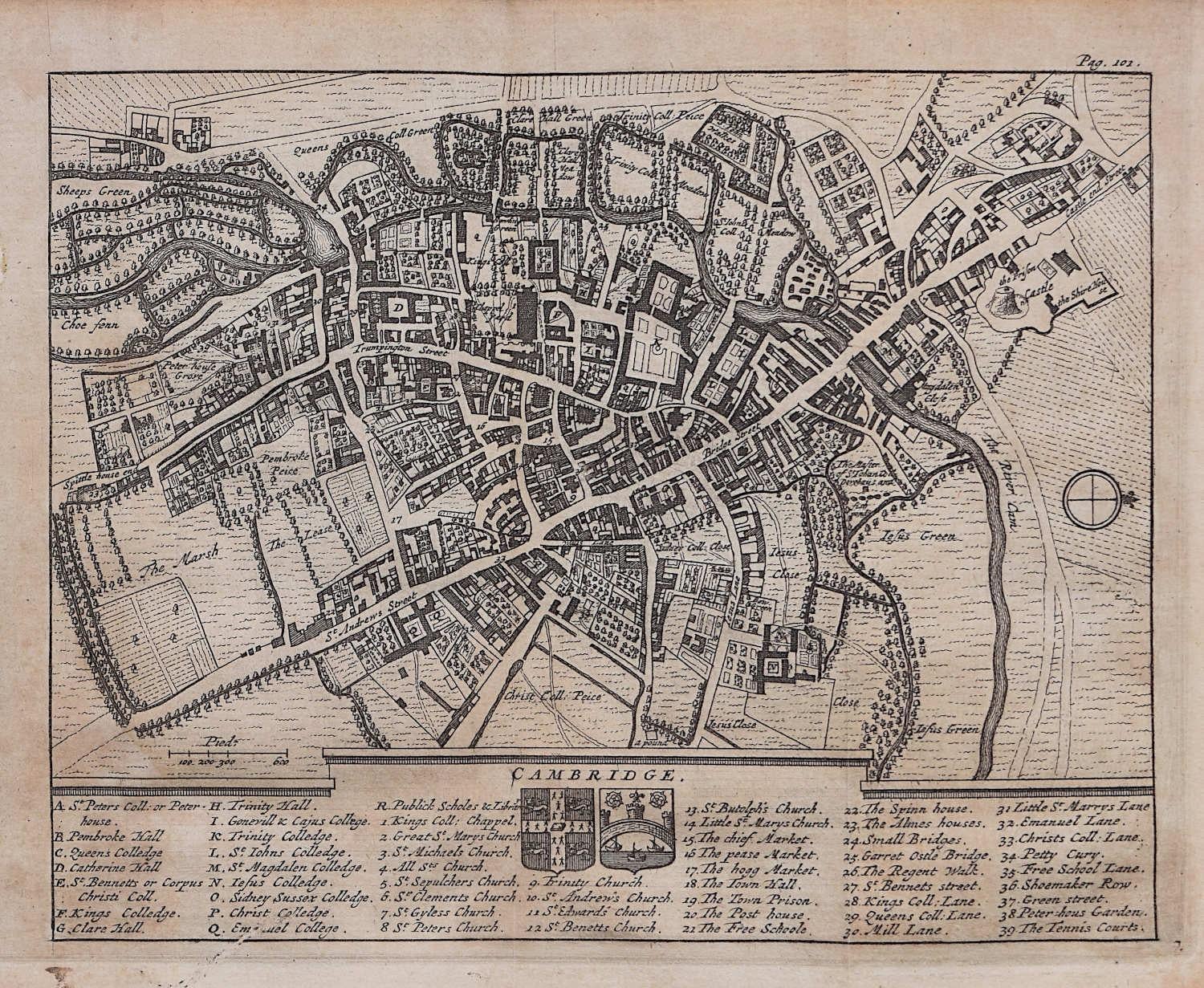
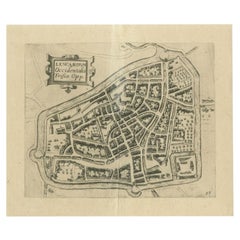
Pieter van der Aa (1659-1733), after David Loggan (1634–1692)
Map of Cambridge
12 x 16 cm
Engraving (1727)
An eighteenth-century map of Cambridge engraved by Pieter van der Aa after David Loggan, the noted engraver, draughtsman, and painter who specialised in engravings of Oxford and Cambridge. Loggan's vision illustrates the inimitable layout of Cambridge; the River Cam, Bridge Street, and Trumpington Street bend across the map like arteries.
Pieter van der Aa of Leiden was a Dutch publisher best known for preparing maps and atlases, though he also printed editions of foreign bestsellers and illustrated volumes. He is noted for the many engravings he produced after David Loggan's series of Oxford and Cambridge colleges and costumes. In 1727 Van Der Aa illustrated "Les Delices de la Grande Bretagne & de L'Irelande" by James Beeverell, the book in which this engraving appears.
- Creator:Pieter Van Der Aa (1659 - 1733, Dutch)
- Creation Year:1707
- Dimensions:Height: 4.73 in (12 cm)Width: 6.3 in (16 cm)
- Medium:
- Movement & Style:
- Period:
- Condition:Generally very good.
- Gallery Location:London, GB
- Reference Number:1stDibs: LU795311046762
Pieter Van Der Aa
Pieter van der Aa began his career at Leiden in 1683 as a Latin trade publisher, publishing classical texts about medicine and science. He was a Dutch publisher of maps and atlases active in the late 17th and early 18th centuries. During his long and impressive career, Van der Aa produced thousands of maps, including a vast 28 volume atlas containing no less than 3,000 maps.
About the Seller
4.8
Vetted Professional Seller
Every seller passes strict standards for authenticity and reliability
Established in 2014
1stDibs seller since 2017
361 sales on 1stDibs
Typical response time: 13 hours
- ShippingRetrieving quote...Shipping from: London, United Kingdom
- Return Policy
More From This Seller
View AllMap of Cambridge, engraving Pieter van der Aa after David Loggan
By Pieter Van Der Aa
Located in London, GB
Pieter van der Aa (1659 - 1733), after David Loggan (1634 - 1692)
Map of Cambridge
Engraving
12 x 16 cm
An eighteenth-century view of Cambridge, engraved by Pieter van der Aa after ...
Category
Early 18th Century Realist Prints and Multiples
Materials
Engraving

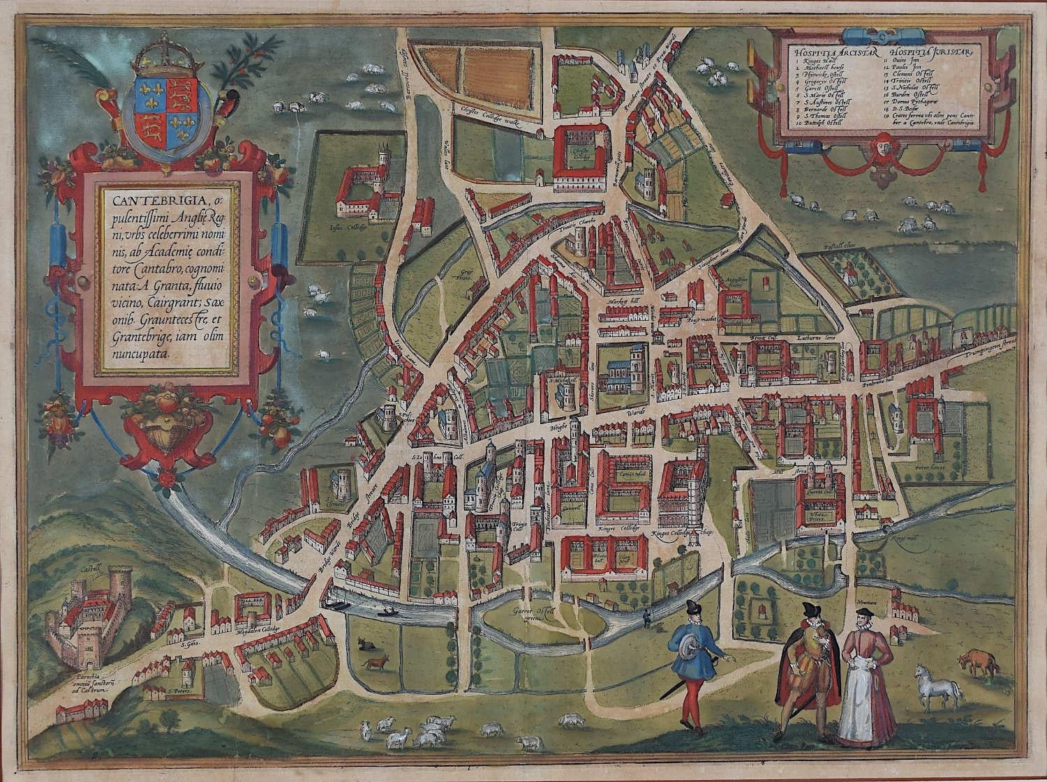
Map of Cambridge, c.1572 engraving by Braun & Hogenberg
Located in London, GB
To see our other views of Oxford and Cambridge, scroll down to "More from this Seller" and below it click on "See all from this Seller" - or send us a message if you cannot find the ...
Category
16th Century Realist Landscape Prints
Materials
Engraving

Oxford from the East engraving by Pieter van der Aa after David Loggan
By Pieter Van Der Aa
Located in London, GB
Pieter van der Aa (1659-1733), after David Loggan (1634–1692)
Oxford from the East
Engraving
12 x 16 cm
An eighteenth-century view of Oxford from the east, engraved by Pieter van de...
Category
Early 18th Century Realist Prints and Multiples
Materials
Engraving
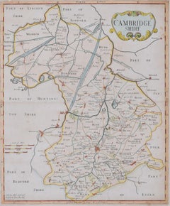
Cambridgeshire map 17th century engraving by John Speed
By John Speed
Located in London, GB
To see more, scroll down to "More from this Seller" and below it click on "See all from this Seller."
John Speed (1551 or 1552 - 1629)
Map of Cambridgeshire
Engraving with later hand colouring
39 x 53 cm
A beautifully coloured map of Cambridgeshire, with an antique description...
Category
1610s Landscape Prints
Materials
Engraving

Pieter van der Aa: Cambridge from the East, after David Loggan
By Pieter Van Der Aa
Located in London, GB
Pieter van der Aa (1659-1733), after David Loggan (1634–1692)
Cambridge from the East (1727)
Engraving
12 x 16 cm
An eighteenth-century view of Cambridge from the East, engraved by ...
Category
Early 18th Century Prints and Multiples
Materials
Engraving
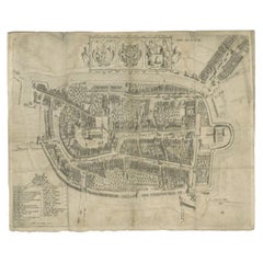
Map of Cambridge 18th century engraving by Sutton Nichols
Located in London, GB
To see more, scroll down to "More from this Seller" and below it click on "See all from this Seller."
Sutton Nichols (1668 - 1729)
Map of Cambridgeshire
Engraving
43 x 36 cm
Signed in plate lower left.
A beautifully coloured 18th century map engraving of Cambridgeshire. The map was produced by Robert Morden for publication in Edward Gibson's 1695 translation of William Camden's Britannia, a topographical and historical survey of Great Britain and Ireland produced to "restore antiquity to Britaine, and Britain to his antiquity" - a most noble aim.
William Camden (1551 - 1623) was an English antiquarian, historian, topographer, and herald, best known as the author of Britannia, the first chorographical survey of the islands of Great Britain and Ireland, and the Annales, the first detailed historical account of the Queen...
Category
18th Century Landscape Prints
Materials
Engraving
You May Also Like
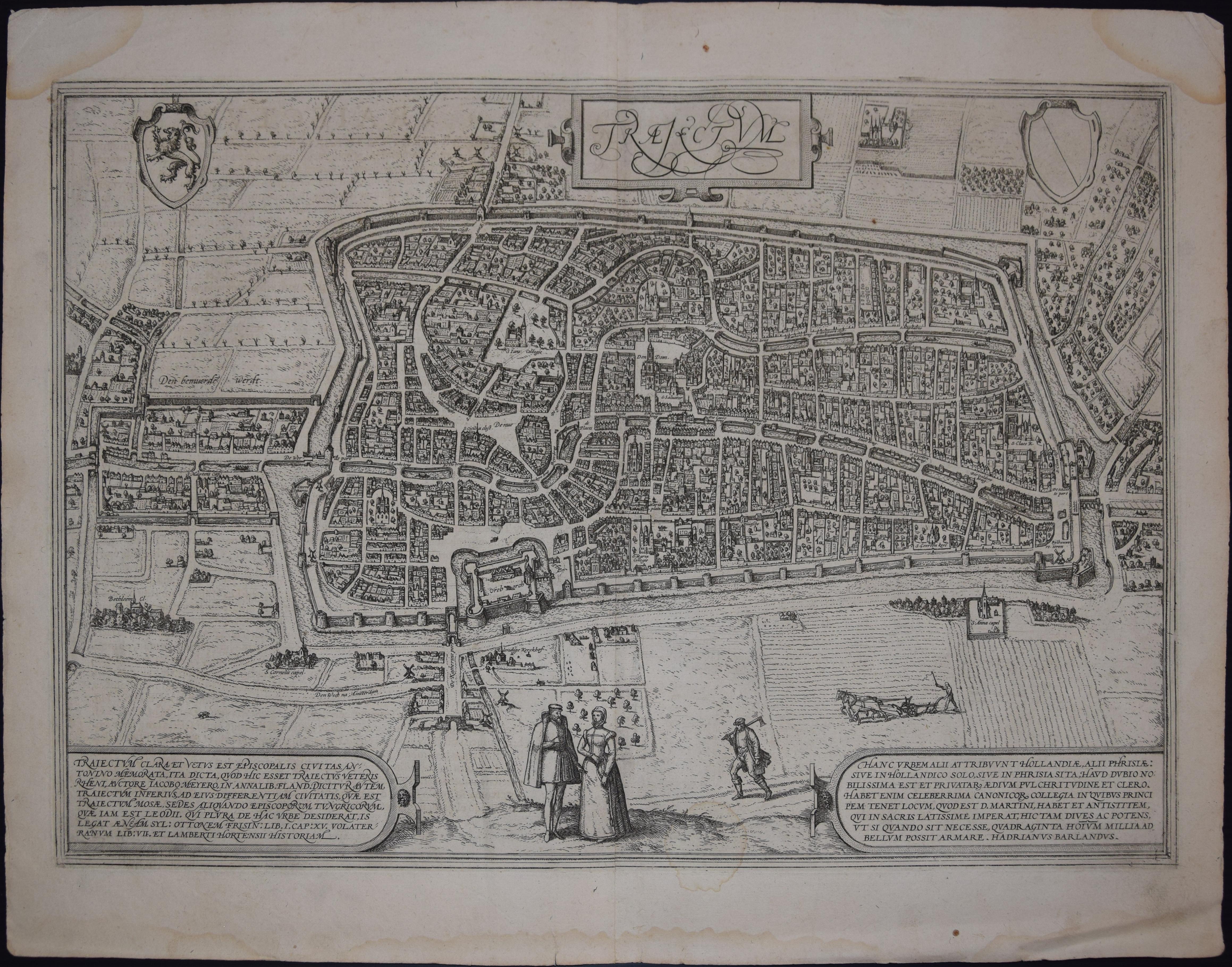
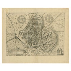
Utrecht, Antique Map from "Civitates Orbis Terrarum"
By Franz Hogenberg
Located in Roma, IT
Braun G., Hogenberg F., Traiectum or Utrecht, from the collection Civitates Orbis Terrarum, Cologne, T. Graminaeus, 1572-1617.
Very fine B/W aquatint showing a view of Utrecht, with...
Category
16th Century Landscape Prints
Materials
Etching

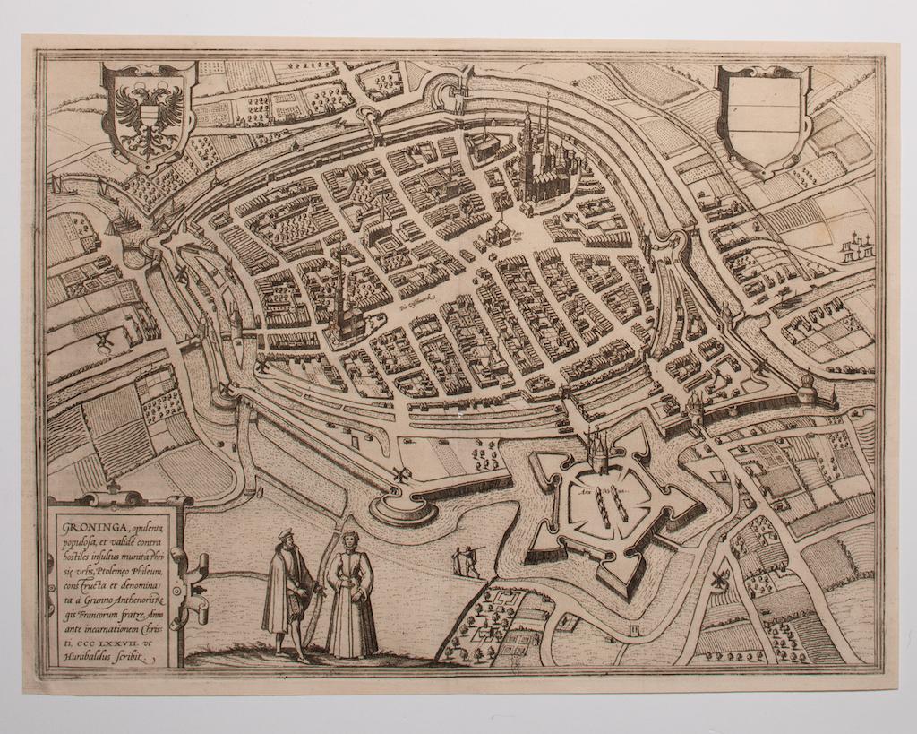
Map of Groningen - Etching by George Braun - Late 16th Century
Located in Roma, IT
This map of Groninga is an original etching realized by George Braun and Franz Hogenberg, and part of the series "Civitates Orbis Terrarum".
The state of preservation of the artwork...
Category
16th Century Figurative Prints
Materials
Etching

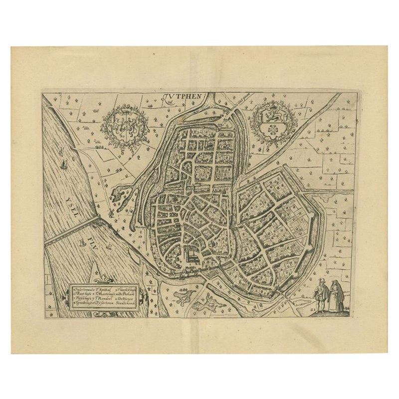
Antique Map of the City of Zutphen by Guicciardini, 1612
Located in Langweer, NL
Antique map Zutphen titled 'Zutphen'. This map depicts the city of Zutphen, Gelderland, The Netherlands. Originates from 'Beschryvinghe van alle de Neder-landen anderssins ghenoemt N...
Category
Antique 17th Century Maps
Materials
Paper

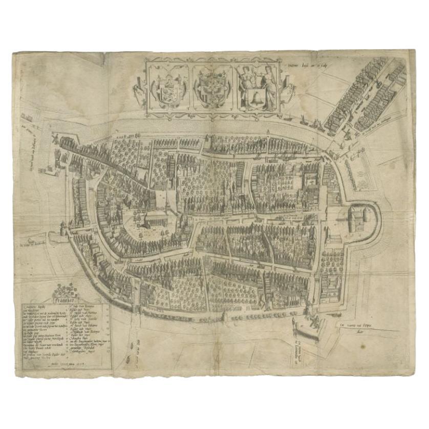
Antique Map of the City of Franeker by Bast, 1598
Located in Langweer, NL
Antique map titled 'Franeker'. Very rare and early map of the city of Franeker, Friesland. With decorative cartouche and Dutch legend. Artists and Engravers: Pieter Bast (1550-1605) ...
Category
Antique 16th Century Maps
Materials
Paper
$1,063 Sale Price
20% Off
Antique Map of the City of Zutphen by Guicciardini, 1613
Located in Langweer, NL
Antique map Zutphen titled 'Zutphen'. This map depicts the city of Zutphen, Gelderland, The Netherlands. Originates from 'Discrittione di tutti i Paesi Bassi'.
Artists and Engrav...
Category
Antique 17th Century Maps
Materials
Paper
Antique Map of the City of Leeuwarden by Guicciardini, 1613
Located in Langweer, NL
Antique map tited 'Lewardum'. Plan of the city of Leeuwarden, Friesland, the Netherlands. This map originates from the 1613 edition of 'Discrittione di tutti i Paesi Bassi', by L. Gu...
Category
Antique 17th Century Maps
Materials
Paper
More Ways To Browse
Cambridge Map
Antique Maps Cambridge
Batik Kate
British Airways Boac
Chicago Poster
Erte Signed Print
Fish Etching
Framed Block Print
Grace Jones Warhol
Gunther Uecker
Henri Matisse Nude With Orange
Hommage Picasso
Jansem Lithograph
Jim Dine Etching
Joan Miro 1964
Kandinsky Composition
Life Size African Wood Sculpture
Micheal Von Zichy