Iran Map
to
6
22
7
12
8
6
6
5
4
4
4
3
3
3
2
2
2
2
2
1
1
1
1
1
1
1
1
1
1
1
1
1
1
1
3
1
1
1
1
Sort By
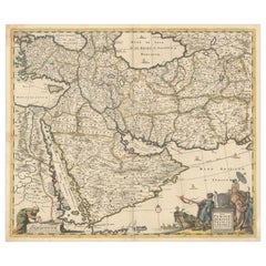
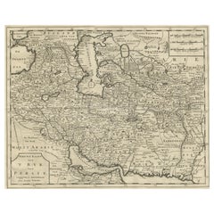
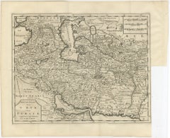
Circa 1691 Frederick de Wit Map: Middle East with Arabia, Persia & More
Located in Langweer, NL
historical map
- Frederick de Wit map
- 17th century maps
- Arabian Peninsula map
- Persia (Iran) map
Category
Antique 1690s Maps
Materials
Paper
H 18.5 in W 21.8 in D 0.002 in
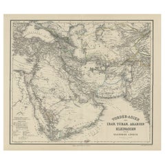
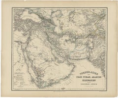
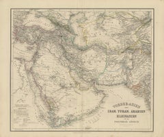
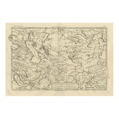
Old German Antique Map of Iran and Arabia, 1866
Located in Langweer, NL
Antique map titled 'Vorder-Asien oder Iran, Turan, Arabien, Kleinasien und die Kaukasus Länder
Category
Antique 19th Century Maps
Materials
Paper
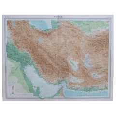
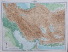
Large Original Vintage Map of Persia / Iran, circa 1920
Located in St Annes, Lancashire
Great maps of Persia.
Unframed.
Original color.
By John Bartholomew and Co. Edinburgh
Category
Vintage 1920s British Maps
Materials
Paper
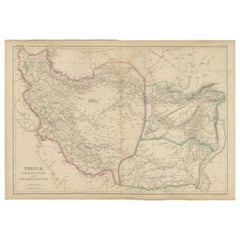
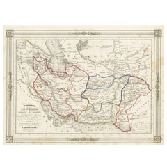
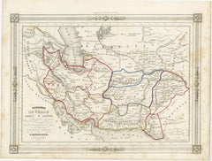
Persia Unveiled: Antique Map of Iran, Afghanistan, and Beyond, 1852
Located in Langweer, NL
The antique map titled 'Royaumes de Perse Herat & Kaboul' is an attractive map of Persia. Here are
Category
Antique Mid-19th Century Maps
Materials
Paper
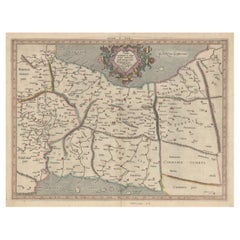
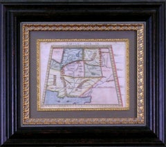
Exploring Ancient Persia: Ptolemaic Map of Iran and Iraq by Ptolemy and Mercator
Located in Langweer, NL
Ptolemaic map depicting much of modern-day Iran, Iraq and part of Armenia. The map stretches from the
Category
Antique 1610s Maps
Materials
Paper
H 13.71 in W 18.39 in D 0 in
Original Antique Plan of the Fortress of Charedsch in Persia or Iran, ca.1780
Located in Langweer, NL
Antique map, titled: 'Plan de la Citadelle de la Ville de Charedsch.'
Plan of the fortress of
Category
Antique 1780s Maps
Materials
Paper
H 10.63 in W 8.59 in D 0 in
Antique Map Centered on Turkestan, Including the Black and Caspian Seas, 1749
Located in Langweer, NL
, and the northern reaches of Iran and Afghanistan. This map originates from 'Histoire générale des
Category
Antique 18th Century Maps
Materials
Paper
H 9.97 in W 14.69 in D 0 in
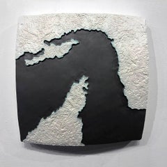
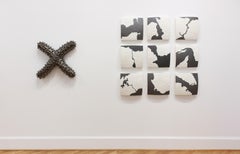
"Choke II: Strait of Hormuz (Oman & Iran)" - ceramic - map - black & white -
By Gregor Turk
Located in Atlanta, GA
This ceramic wall sculpture features a topographic map in black and white.
Gregor is inspired by
Category
2010s Abstract Sculptures
Materials
Ceramic
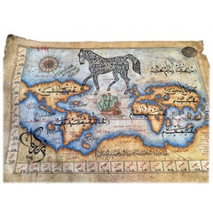
Wool Persian Balouchi Rug, World Map, Vehicle Motifs, 3' x 5'
Located in New York, NY
medallion encapsulating calligraphy. The calligraphy in the center says “The World Map” in Farsi. This
Category
Early 2000s Persian Tribal Persian Rugs
Materials
Wool
Modern Wool Persian Map Rug, "San Francisco" by Orley Shabahang, 10' x 14'
By Bahram Shabahang, Orley Shabahang
Located in New York, NY
This wool Persian carpet by Orley Shabahang depicting an antique map, "San Francisco", measures 10
Category
2010s Persian Modern Persian Rugs
Materials
Wool
Beautifully Decorative Arabic World Map, 20th Century
Located in London, GB
A beautifully decorative Arabic world map, 20th century
Measure: H 34cm
W 53cm.
Category
20th Century Persian Other Maps
Materials
Paper
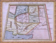
Map Tabula Asiae IX Pakistan Afghanistan Iran Indian Ocean
Located in Florham Park, NJ
“Tabula Asiae IX
Pakistan, Afghanistan, E. Iran”
Girolamo Ruscelli (1504 – 1566)
Venice, 1561
V
Category
16th Century Realist Prints and Multiples
Materials
Copper
H 16.75 in W 19 in D 2 in
Antique Map of the Environment of Busschir, Also Called Abu Schahhr, Iran, 1776
Located in Langweer, NL
Antique map, titled: 'Plan des Environs d'Abu Schahhr.'
Detailed hand colored antique map of
Category
Antique 1770s Maps
Materials
Paper
H 10.63 in W 8.51 in D 0 in
Andy Warhol Skateboard Deck (Warhol Ad Series)
By (after) Andy Warhol
Located in NEW YORK, NY
. With images of Russian missile bases, maps of Iran and Afghanistan, and common consumer items such as
Category
1980s Pop Art More Art
Materials
Offset
Andy Warhol Skateboard Deck (Warhol Supermarket)
By (after) Andy Warhol
Located in NEW YORK, NY
. With images of Russian missile bases, maps of Iran and Afghanistan, and common consumer items such as
Category
1980s Pop Art More Art
Materials
Offset
Original Antique Map of Persia / Iran, Arrowsmith, 1820
Located in St Annes, Lancashire
Great map of Iran
Drawn under the direction of Arrowsmith
Copper-plate engraving
Published
Category
Antique 1820s English Maps
Materials
Paper
Original Antique Map of Persia 'Iran', circa 1890
Located in St Annes, Lancashire
Great map of Persia
Original color.
Published, circa 1890
A couple of minor edge tears
Category
Antique 1890s English Other Maps
Materials
Paper
Large Original Vintage Map of Persia / Iran, circa 1920
Located in St Annes, Lancashire
Great maps of Persia
Unframed
Original color
By John Bartholomew and Co. Edinburgh
Category
Vintage 1920s British Maps
Materials
Paper
Large Original Vintage Map of Persia / Iran, circa 1920
Located in St Annes, Lancashire
Great maps of Persia
Unframed
Original color
By John Bartholomew and Co. Edinburgh
Category
Vintage 1920s British Maps
Materials
Paper
Large Original Vintage Map of Persia / Iran, circa 1920
Located in St Annes, Lancashire
Great maps of Persia.
Unframed.
Original color.
By John Bartholomew and Co. Edinburgh
Category
Vintage 1920s British Maps
Materials
Paper
Original Antique Map of Persia / Iran. Sherwood, Neely & Jones. 1809.
Located in St Annes, Lancashire
Great map of Persia
Copper-plate engraving by Cooper
Published by Sherwood, Neely & Jones.
Dated
Category
Antique Early 1800s English Maps
Materials
Paper
Decoritive Antique Map of Eastern Iran or The Persian Empire, 1734
Located in Langweer, NL
, dividing the region into its various early ethnic and tribal groups. This 18e century map of eastern Iran
Category
Antique 1730s Maps
Materials
Paper
Large Original Antique Map of Persia 'Iran' by Sidney Hall, 1847
Located in St Annes, Lancashire
Great map of Persia
Drawn and engraved by Sidney Hall
Steel engraving
Original colour
Category
Antique 1840s Scottish Maps
Materials
Paper
Antique Map of Modern-Day Armenia, Iran, Iraq, Syria, Israel and Surroundings
Located in Langweer, NL
'. Detailed regional map of modern day Armenia, Iran, Iraq, Syria, Israel, Jordan, Turkmenistan, Afghanistan
Category
Antique Late 17th Century Maps
Materials
Paper
H 9.73 in W 14.85 in D 0.02 in
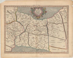
Antique Ptolemaic Map of Modern-Day Iran, Iraq and Part of Armenia
By Gerard Mercator
Located in Langweer, NL
'. Ptolemaic map of much of modern-day Iran, Iraq and part of Armenia. The map stretches from the Persian Gulf
Category
Antique Late 17th Century Maps
Materials
Paper
Antique Map of the Persian Empire 'Persia/Iran' by H. Moll, circa 1745
By Herman Moll
Located in Langweer, NL
Antique map titled 'Persia, agreable to Modern History'. Map of the Persian Empire extending from
Category
Antique Mid-18th Century English Maps
Materials
Paper
H 9.26 in W 14.77 in D 0.02 in
Antique Map of the Region East from Cyprus to Iran ‘Asia’ by F. De Wit, 1680
Located in Langweer, NL
This fine map shows the area East from Cyprus to Iran, including The Saudi Peninsula, Red Sea, Nile
Category
Antique Late 17th Century Maps
Materials
Paper
H 20.67 in W 25.2 in D 0.02 in
Panoramic Antique View of Bandar-Abbas 'Formerly Gamron, Persia' in Iran, 1714
Located in Langweer, NL
Antique print titled 'Gamron'. Panoramic view of the city of Bandar-Abbas (formerly Gamron) in Iran
Category
Antique 1710s Maps
Materials
Paper
H 6.7 in W 15.16 in D 0 in
Andy Warhol Skateboard Deck (Warhol Ad series)
By (after) Andy Warhol
Located in NEW YORK, NY
. With images of Russian missile bases, maps of Iran and Afghanistan, and common consumer items such as
Category
1980s Pop Art More Art
Materials
Offset
Get Updated with New Arrivals
Save "Iran Map", and we’ll notify you when there are new listings in this category.
Iran Map For Sale on 1stDibs
Choose from an assortment of styles, material and more with respect to the Iran map you’re looking for at 1stDibs. Frequently made of paper, canvas and fabric, every Iran map was constructed with great care. Whether you’re looking for an older or newer Iran map, there are earlier versions available from the 18th Century and newer variations made as recently as the 20th Century. A Iran map, designed in the style, is generally a popular piece of furniture. A well-made Iran map has long been a part of the offerings for many furniture designers and manufacturers, but those produced by Herman Moll are consistently popular.
How Much is a Iran Map?
Prices for a Iran map start at $67 and top out at $4,732 with the average selling for $420.