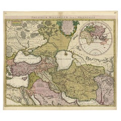
Finely Engraved Historical Map of Middle East and Asia, c.1745
Located in Langweer, NL
Finely engraved historical map with a profusion of details. It shows the Middle East and Asia.
Category
Antique 1740s Maps
Materials
Paper
Finely Engraved Historical Map of Middle East and Asia, c.1745
Located in Langweer, NL
Finely engraved historical map with a profusion of details. It shows the Middle East and Asia.
Paper
$608Sale Price|20% Off
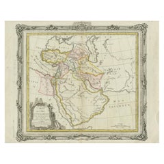
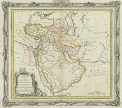
Antique Map of the Middle East by Brion de la Tour '1772'
Located in Langweer, NL
Original antique map of Middle East, extending to the Red Sea, Egypt, the Eastern Mediterranean, Black Sea, Caspian Sea and the Indian Ocean.
Paper
Antique Map of the Middle East by Perthes, 1848
Located in Langweer, NL
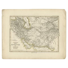
Old map of the Middle East originating from 'Orbis Terrarum Antiquus in usum Scholarum'.
Paper
Antique Map of the Middle East by Smith, 1809
Located in Langweer, NL
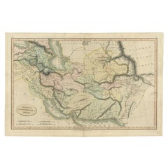
Old map of the Middle East showing the region between the Euphrates and Indus river.
Paper
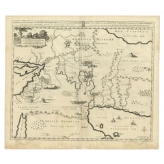
Antique Map of the Middle East by Mortier, 1700
Located in Langweer, NL
Detailed map of the Holy Land and the Middle East, centered on the Garden of Eden and including a large Cyprus.
Paper
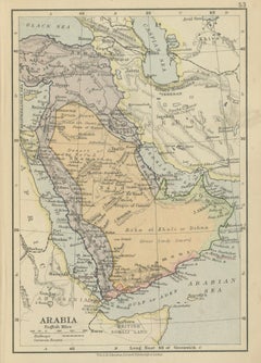
Antique Miniature Map of Arabia, Johnston 1909, Middle East Ottoman Peninsula
Located in Langweer, NL
Antique Map Arabia, Johnston 1909, Middle East Ottoman Peninsula A finely detailed and historically rich map of the Arabian Peninsula, titled “Arabia,” produced by the renowned Scot...
Paper
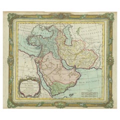
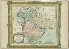
Antique Map of the Middle East with a Large Arabia, 1799
Located in Langweer, NL
Map of the Middle East with a large Arabia, extending from the Black Sea to the Indian Ocean and from the Red Sea to Persia and Iraq.
Paper
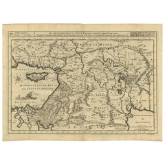
Antique Bible Map of the Middle East by A. Schut, 1743
Located in Langweer, NL
Antique map titled 'De Gelegentheyt van 't Paradys en 't Landt Canaan'. Dutch Bible map covering the region between the Mediterranean and the Persian Gulf, featuring the Garden of Ed...
Paper
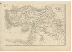
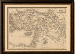
Antique Map of Turkey in Asia, Ottoman Empire Middle East, c. 1850
Located in Langweer, NL
Antique Map of Turkey in Asia, Ottoman Empire Middle East, c. 1850 Large and finely engraved antique map titled “Turkey in Asia,” depicting the vast Asian territories of the Ottoman...
Paper
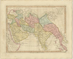
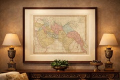
Antique Map of the Ancient Middle East & India – Wilkinson Orientis Tabula, 1807
Located in Langweer, NL
Antique Map of the Ancient Middle East & India – Wilkinson Orientis Tabula 1807 Description: This finely engraved and beautifully hand-colored antique map titled “Orientis Tabula” p...
Paper
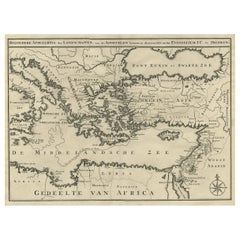
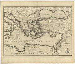
Scarce Map of the Mediterranean and Parts of Europe, Africa & Middle East, 1725
Located in Langweer, NL
Scarce map of the Mediterranean and contiguous parts of Europe, Africa and the Middle East, illustrating the travels of Paul between the Holy Land and Rome, through the Mediterranean.
Paper
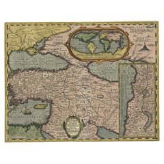
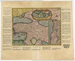
Scarce Antique Map of the Middle East, Surrounded by Latin Text, 1624
Located in Langweer, NL
Scarce map of the Middle East, surrounded by Latin text.
Paper
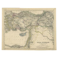
Original Antique Map of the Middle East, Published in Germany, c.1870
Located in Langweer, NL
Antique map titled 'Asia Citerior'. Old map of the Middle East.
Paper
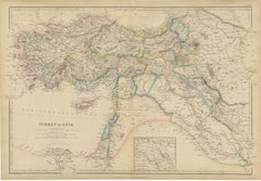
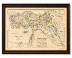
Original Antique Map of Turkey in Asia, Ottoman Empire & Middle East c.1860
Located in Langweer, NL
Original Antique Map of Turkey in Asia, Ottoman Empire & Middle East c.1860 This impressive original antique map depicts the vast territories historically known as "Turkey in Asia,"...
Paper
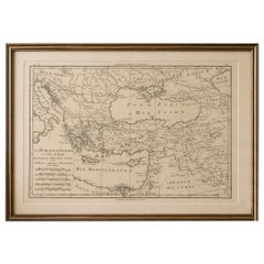
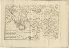
Antique Map of the Ottoman Empire, Turkey, Balkans & Middle East, Bonne, c.1780
Located in Langweer, NL
Antique Map Ottoman Empire Turkey Balkans Middle East Bonne c1780 A finely engraved 18th-century map of the Ottoman Empire, titled La Turquie d’Europe et celle d’Asie, created by th...
Paper
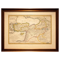
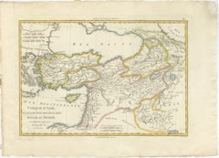
Antique Map of Turkey in Asia, Middle East and Persia, Bonne, c.1780
Located in Langweer, NL
Antique Map of Turkey in Asia, Middle East and Persia, Bonne, c.1780 A finely engraved and beautifully hand-colored 18th-century map titled Turquie d’Asie, created by the distinguis...
Paper
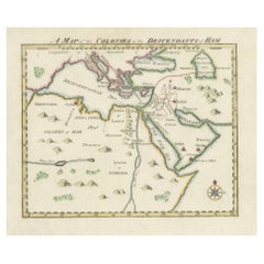
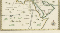
18th-Century Biblical Map of the Colonies of Ham: Africa, Middle East and Beyond
Located in Langweer, NL
Colonies of Ham: According to biblical tradition, the descendants of Ham are thought to have settled in Africa and parts of the Middle East, and this map reflects the traditional...
Paper

$1,184Sale Price|25% Off
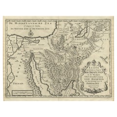
Scarce Middle East and Arabia Map Showing The Exodus of the Israelites, 1725
Located in Langweer, NL
Scarce map of the Middle East and Arbabia. It shows the exodus of the Israelites in the desert.
Paper
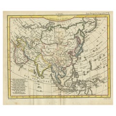

Antique Map of Asia from the Middle East to the Coast of Alaska, 1816
Located in Langweer, NL
Abrége de Géographie"". An engraved map with coloring of Asia from the Middle East to the coast of Alaska then known as Russia/America.
Paper
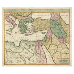
Highly Decorative Map of The Eastern Mediterranean and The Middle East, ca.1700
Located in Langweer, NL
Highly decorative map of the eastern Mediterranean and the Middle East features the tract of St.
Paper
$2,293Sale Price|20% Off
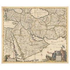
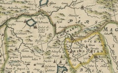
Circa 1691 Frederick de Wit Map: Middle East with Arabia, Persia & More
Located in Langweer, NL
Circa 1691 Frederick de Wit Map: Middle East with Arabia, Persia & More This exquisite hand-colored map, circa 1691, by Frederick de Wit, illustrates the Middle East, spanning from ...
Paper
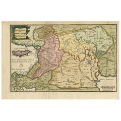
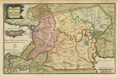
Antique Map of the Holy Land and Paradise – Terrae Canaan Map, c.1720
Located in Langweer, NL
Antique Map of the Holy Land and Paradise by François Halma, c.1720 Beautiful early 18th-century hand-colored map of the Middle East extending from the Mediterranean Sea to the Pers...
Paper
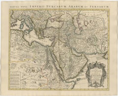
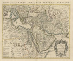
Antique Map of Turkey, Arabia and Persia by Delisle, Amsterdam, c. 1744
Located in Langweer, NL
A decorative and historically important map of the Ottoman world and Middle East. Condition: Very good condition for its age.
Paper
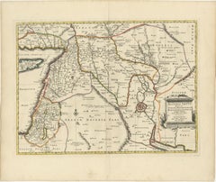
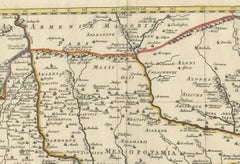
Old Map of Ancient Assyria Divided into Syria, Mesopotamia, Babylonia & Assyria
Located in Langweer, NL
This map, "Assyria vetus diuisa in Syriam, Messopotamiam, Babyloniam, et Assyriam", by Pierre Mortier, is a late 17th-century depiction of the historical Middle East.
Paper
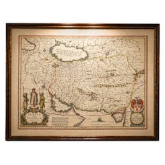
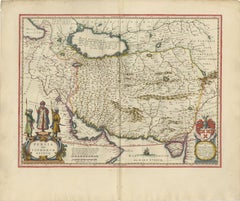
Blaeu Map of Persia, Caspian Sea & Arabia, Hand Colored, c.1642
Located in Langweer, NL
Highly desirable for collectors of early maps of the Middle East and Central Asia, as well as for those seeking a statement piece with both historical and aesthetic significance.
Paper
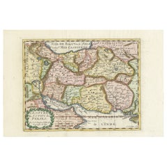
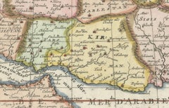
Map of the Persian Empire by Nicolas Sanson, Hand-colored, circa 1683
Located in Langweer, NL
An excellent addition to any collection of antique maps of the Middle East or Persian Empire. Condition Report: Excellent early impression on bright paper with full margins.
Paper
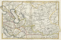
Antique Map of Persia, Georgia and Tartary by Bonne, Central Asia, c.1780
Located in Langweer, NL
Its wide horizontal format and balanced composition make it particularly suitable as a statement piece, whether displayed on its own or as part of a curated wall of early maps of the...
Paper
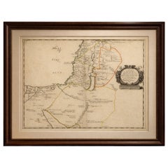
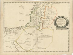
Antique Map Holy Land & Jerusalem — Patriarchatus Hierosolymitani, c1652
Located in Langweer, NL
Today they remain highly sought after by collectors of early cartography, biblical maps, and historical representations of the Middle East, valued both for their scholarly significan...
Paper
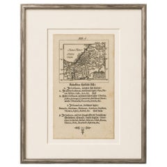
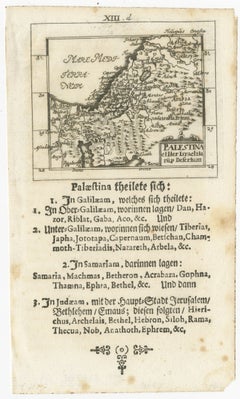
17th Century Holy Land Map “Palestina” with German Biblical Text, c.1650
Located in Langweer, NL
Works of this type are increasingly appreciated by collectors of biblical cartography, Holy Land imagery, and early German printing. This map works particularly well in libraries, s...
Paper
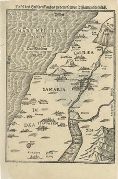
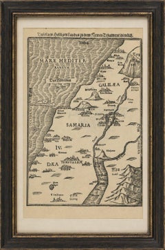
Rare 16th Century Holy Land Woodcut Map by Heinrich Bünting, circa 1581
Located in Langweer, NL
This Holy Land map works particularly well in libraries, studies, ecclesiastical interiors, or collections focused on Jerusalem, biblical history, or early maps of the Middle East.
Paper
Rare Antique Map of the Middle East, ca.1690
Located in Langweer, NL
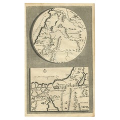
Description: Antique print, untitled. Two decorative maps on one sheet of the middle east in biblical times.
Paper
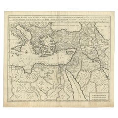
Antique Map of the Journey by Paul the Apostle by Mortier, 1700
Located in Langweer, NL
Old map of the Middle East/Holy Land depicting the route to Rome by Paul the Apostle.
Paper

Sold
H 29.93 in W 20.08 in D 0.04 in
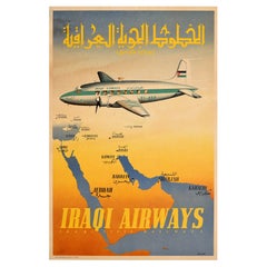
Original Vintage Travel Poster Iraqi Airways State Railways Middle East Iraq
Located in London, GB
Original vintage travel poster for Iraqi Airways (founded in 1945) Iraqi State Railways (founded 1905; renamed Iraqi Republic Railways in 1956) featuring an Iraqi Airways Yi-ABP pass...
Paper
Sold
H 39.38 in W 24.61 in L 39.38 in
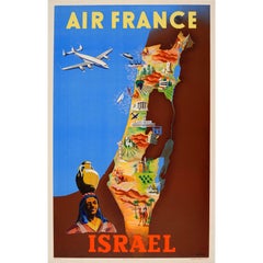
Original Vintage Colourful Travel Map Poster by Renluc for Air France Israel
By Renluc
Located in London, GB
Original vintage Air France travel advertising poster for Israel featuring a plane flying over the Mediterranean Sea towards a colorful map of Israel in the Middle East with images d...
Paper
Sold
H 12.09 in W 16.15 in D 0.04 in
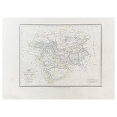
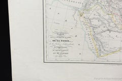
Antique Carte de De la Perse Saudie Arabia UAE Turkey Qatar Bahrein, 1836
Located in Amsterdam, Noord Holland
Antique Carte de De la Perse Saudie Arabia UAE Turkey Qatar Bahrein, 1836 Very nice map of Middle East. Additional information: Material: Paper Type: Map Region of Origin: Europe Pe...
Paper

Antique Map of the Middle East by Von Sandrart, 1708
Located in Langweer, NL
Map of the Middle East with a prominent Cyprus.
Paper
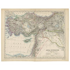

Antique Map of the Middle East by H. Kiepert, circa 1870
By Heinrich Kiepert
Located in Langweer, NL
Antique map titled 'Asia Citerior'. This map originates from 'Atlas Antiquus. Zwölf Karten zur Alten Geschichte' by H. Kiepert. Published in Berlin, circa 1870.
Paper

Sold
H 6.7 in W 11.62 in D 0 in
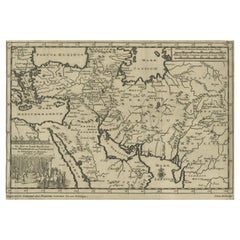
Old Engraved Map of the Middle East, Arabia and Part of Greece 'Cyprus', 1706
Located in Langweer, NL
Old map of the Middle East, also depicting part of Greece (Cyprus).
Paper

Sold
H 10.63 in W 8.27 in D 0 in
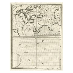
Intriguing Antique Map of Europe, the Middle East and Africa by Scherer, c.1703
Located in Langweer, NL
Antique map depicting part of Africa, Europe and the Middle East.
Paper

Sold
H 10.75 in W 15.52 in D 0 in
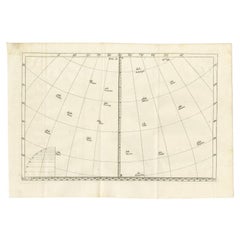
Antique Map of Europe and the Middle East with Many Cities Positioned, c.1703
Located in Langweer, NL
Antique map of Northern Europe, Eastern Europe and the Middle East.
Paper
Antique and vintage collectibles and curiosities can bring whimsy and wonder to any interior.
Decorating with old scientific instruments, historical memorabilia and vintage musical instruments, as well as other authentic collectibles and curiosities that can be found on 1stDibs, presents an opportunity to create a unique, natural history museum-like atmosphere in your home that can provoke conversation as often as it pays tribute to how far we’ve come in understanding our world.
And bringing collectibles and curiosities into your space is actually on trend — Wunderkammern, or curiosity cabinets, were all the rage in Europe during the 1500s and continued to have adherents there and in the U.S. in the following centuries. Today, however, they’re experiencing a real surge in popularity and influencing how many interior designers are furnishing and decorating homes — combining contemporary with antique, scientific with tribal, earthly with extraterrestrial, Les Lalanne tables with Flemish tapestries.
The original Wunderkammern were entire rooms filled with objects demonstrating their owners’ worldly knowledge: A proper one included artificiala or preciosa (objets d’art); naturalia (such as skeletons, shells, minerals); exotica (taxidermy or dried plants); and scientifica (scientific instruments), frequently alongside religious relics and ancient artifacts.
Pay tribute to a history of rich and diverse musical traditions that have taken shape all over the world by decorating your home with a collection of antique and vintage musical instruments — with a little help from strong hanging wire or some wall hooks, vintage brass instruments such as a gong, French horn or trumpet can help elevate a home office or complement the efforts you’ve made to ensure a welcoming vibe in your home’s entryway. Bells or antique wind instruments can add provocative metallic contrasts to dark woods as tabletop decorative objects.
Create an intriguing focal point with Georgian scientific instruments, such as stick barometers with mahogany cases or lacquered brass telescopes. These items stem from an era named for the monarchies of the four King Georges, who ruled England in succession starting in 1714 (plus King William’s reign, which lasted until 1837). Just as there was beautiful jewelry produced during the period that today is coveted by collectors, there is much to be found in the collectibles and curiosities realm too.
Wanderlust, nostalgia and a shared love of good design are contributing factors to certain trends in decorating — just as vintage trunks and luggage have reappeared as furniture or home accents in a bedroom or foyer, decorating with globes, maps or nautical objects is similarly rooted in the allure of travel and a penchant for the stylish finishing touch that collectibles bring to our homes.
Find a wide range of antique and vintage collectibles and curiosities on 1stDibs.
It's hard to resist the allure of a beautiful pool. So, go ahead and daydream about whiling away your summer in paradise.
It’s never too early for good design. These interiors combine elevated furnishings and a youthful spirit, resulting in spaces that are at once elegant and whimsical.
Produced in 1843, the well-preserved volume is evidence of the author's exacting specifications.
New or old, the coverlets add old-time charm to any space.
Get into the games! These items celebrate the events, athletes, host countries and sporting spirit.
French trendsetter and serial collector Daniel Rozensztroch tells us about his obsession with objects related to seafaring men.
The sought-after designer worked with the team at Hoffman Creative to produce a monograph that beautifully showcases some of Studio Shamshiri's most inspiring projects.
Italian writer and collector Umberto Pasti opens the doors to his remarkable cave of wonders in North Africa.