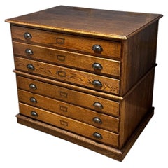
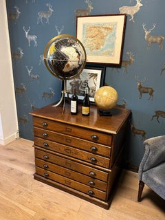
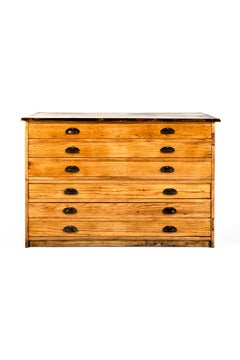
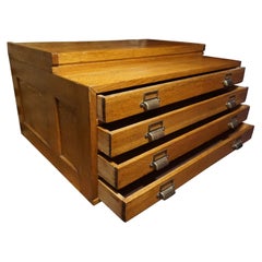
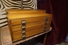
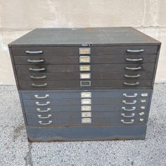
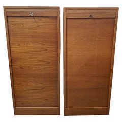
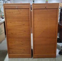
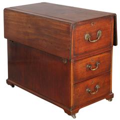
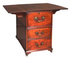
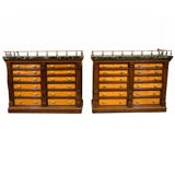
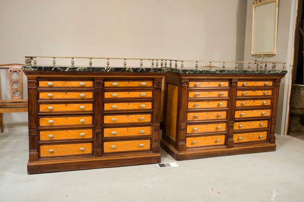
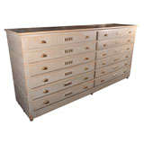
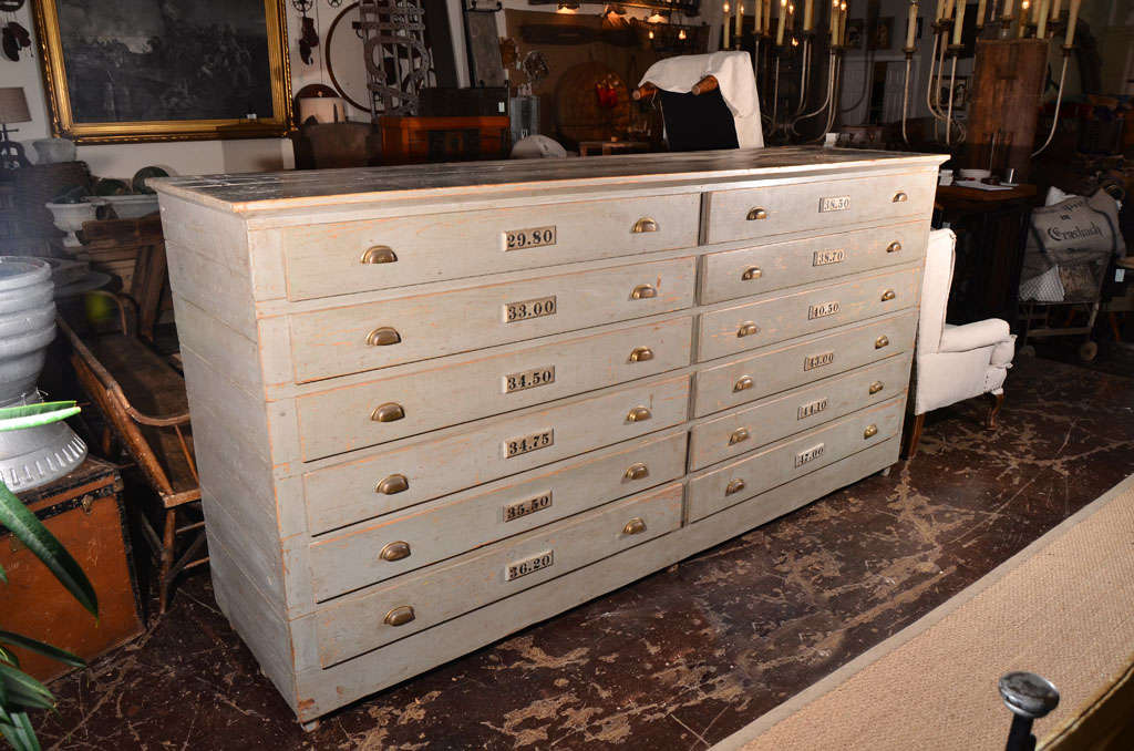
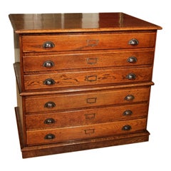
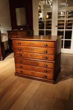
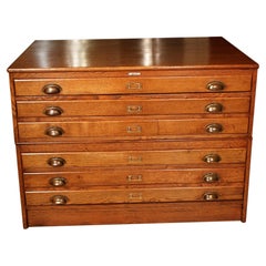
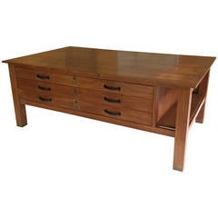
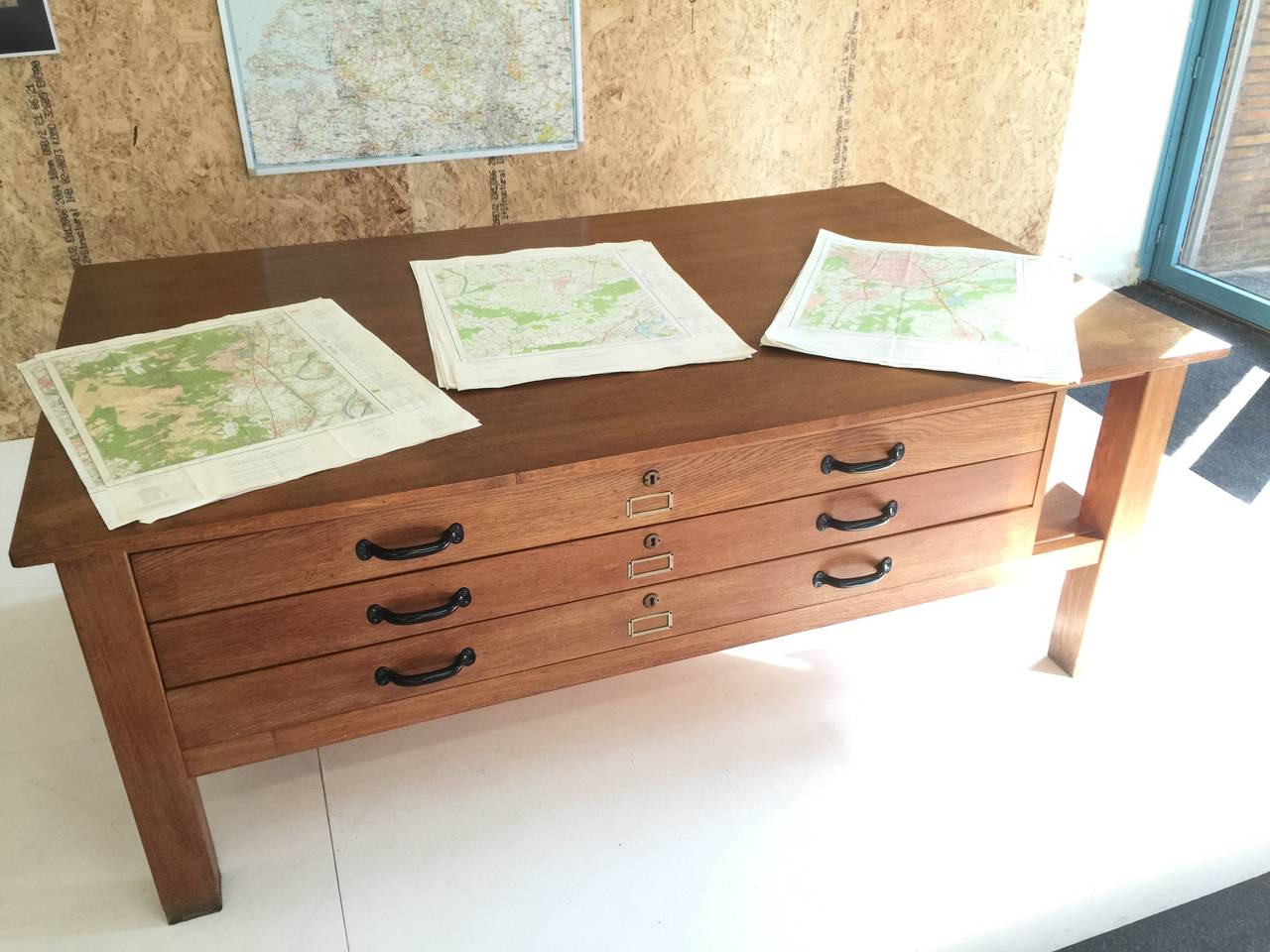
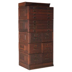
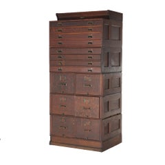
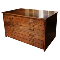
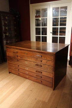
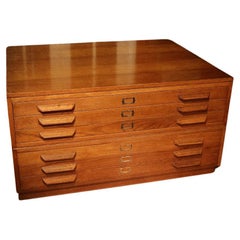
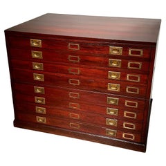
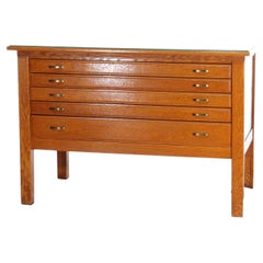
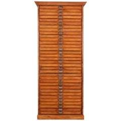
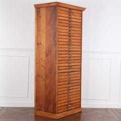
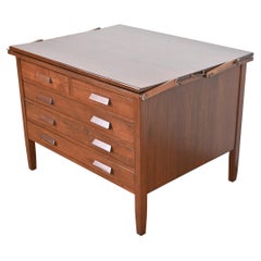
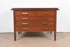
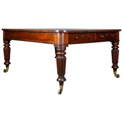
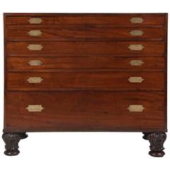
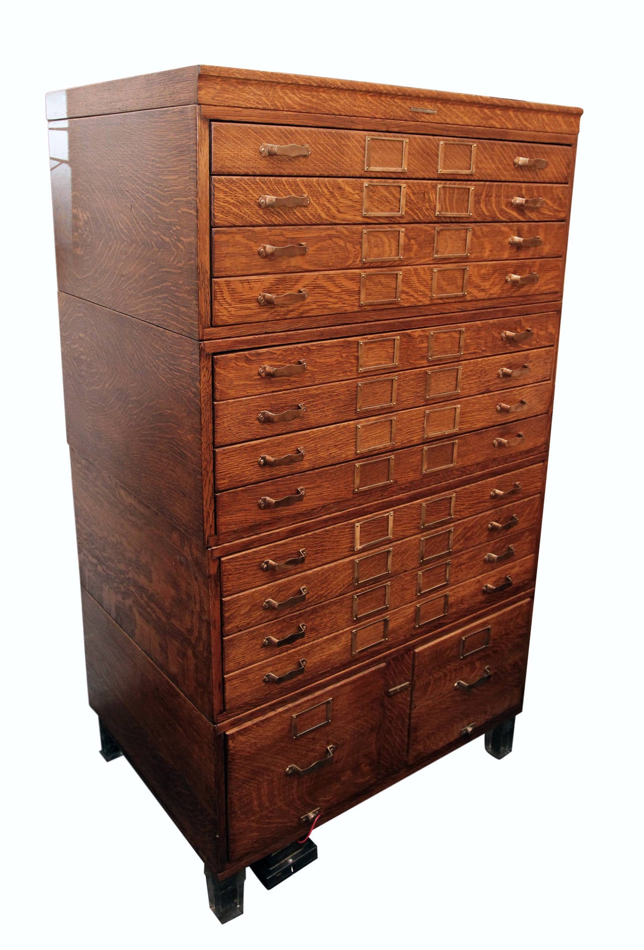
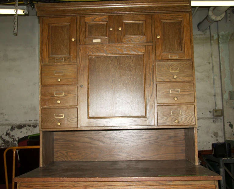
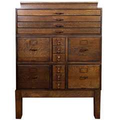
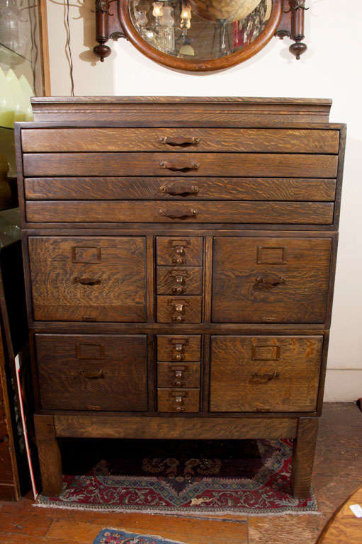
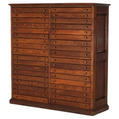
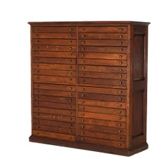
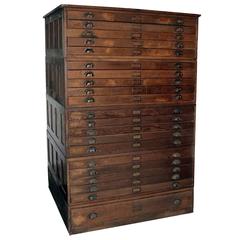
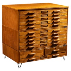
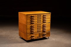
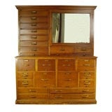
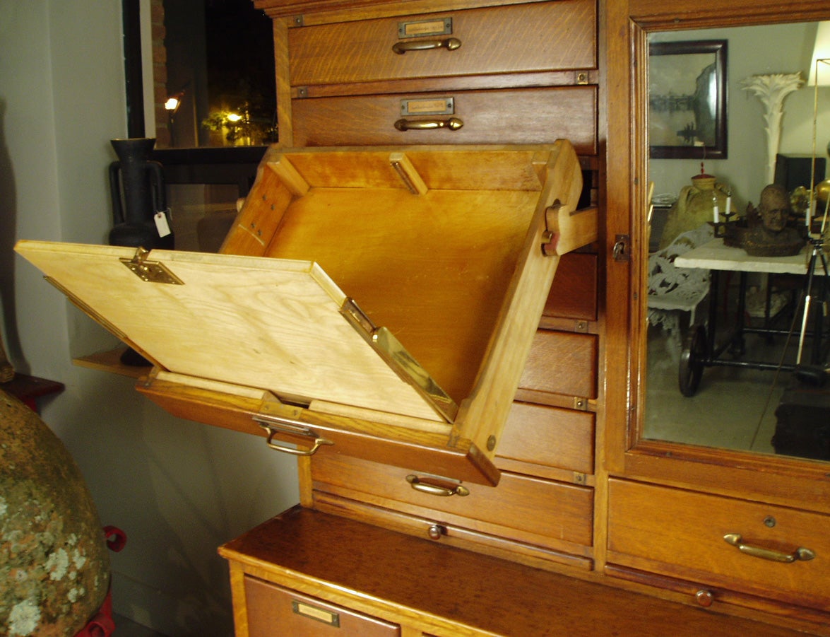
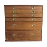
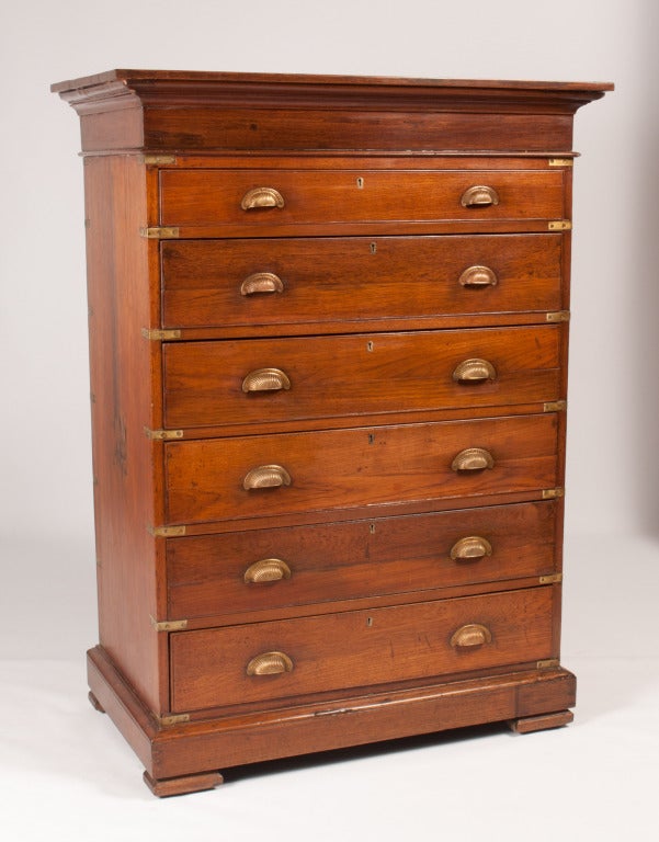
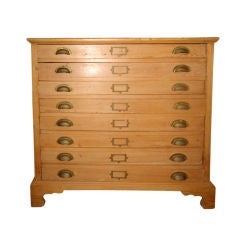
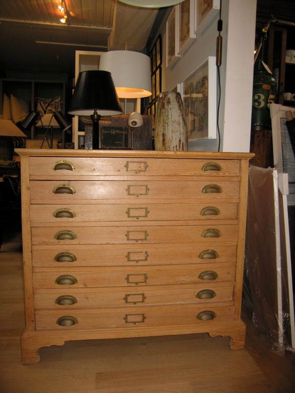
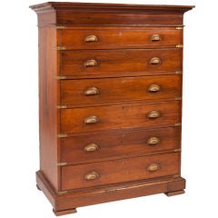
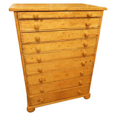
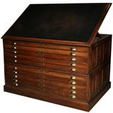
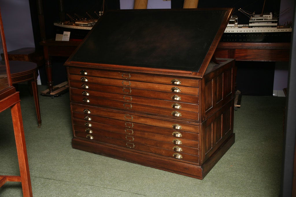
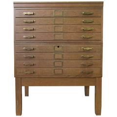
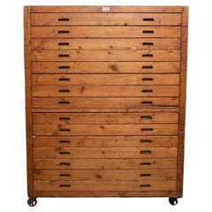
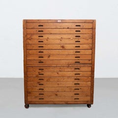
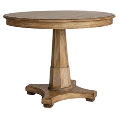
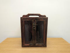
At 1stDibs, there are several options of map drawers available for sale. The range of distinct map drawers — often made from
wood,
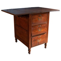
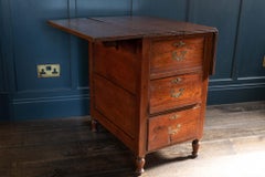
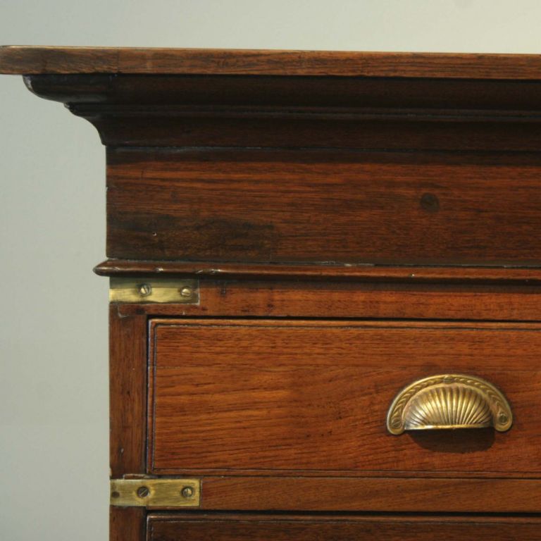
oak and
mahogany — can elevate any home. There are all kinds of map drawers available, from those produced as long ago as the 19th Century to those made as recently as the 20th Century. There are many kinds of map drawers to choose from, but at 1stDibs,
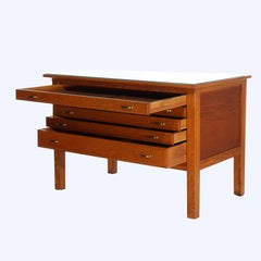
Mid-Century Modern,
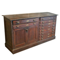
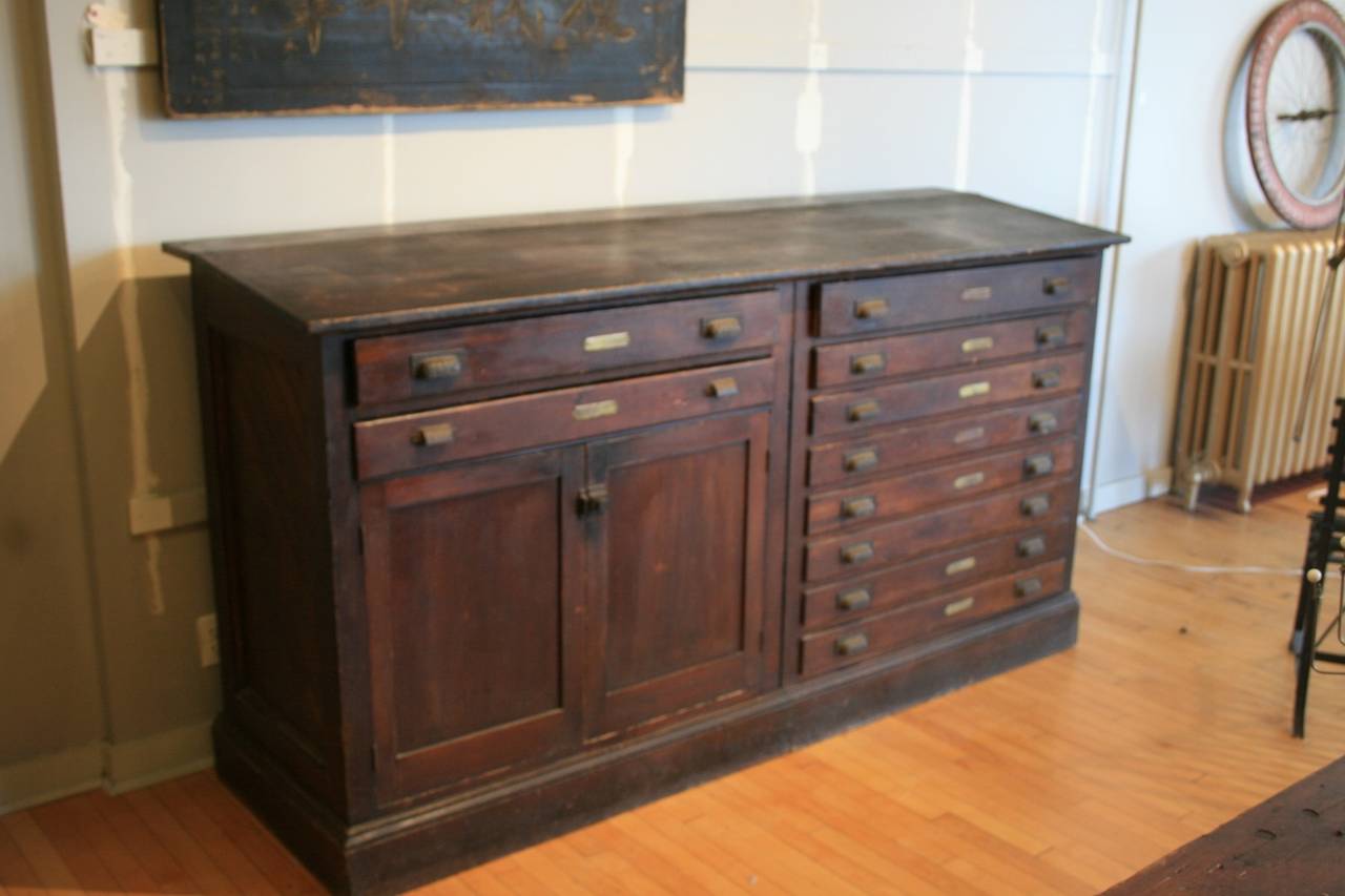
Industrial and
Louis XVI map drawers are of considerable interest.
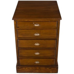
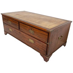
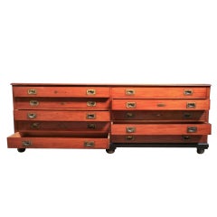
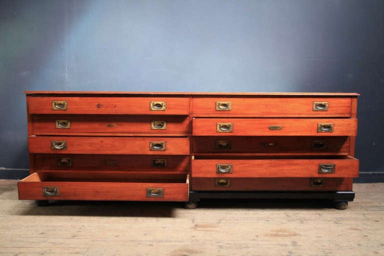
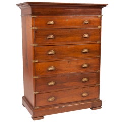
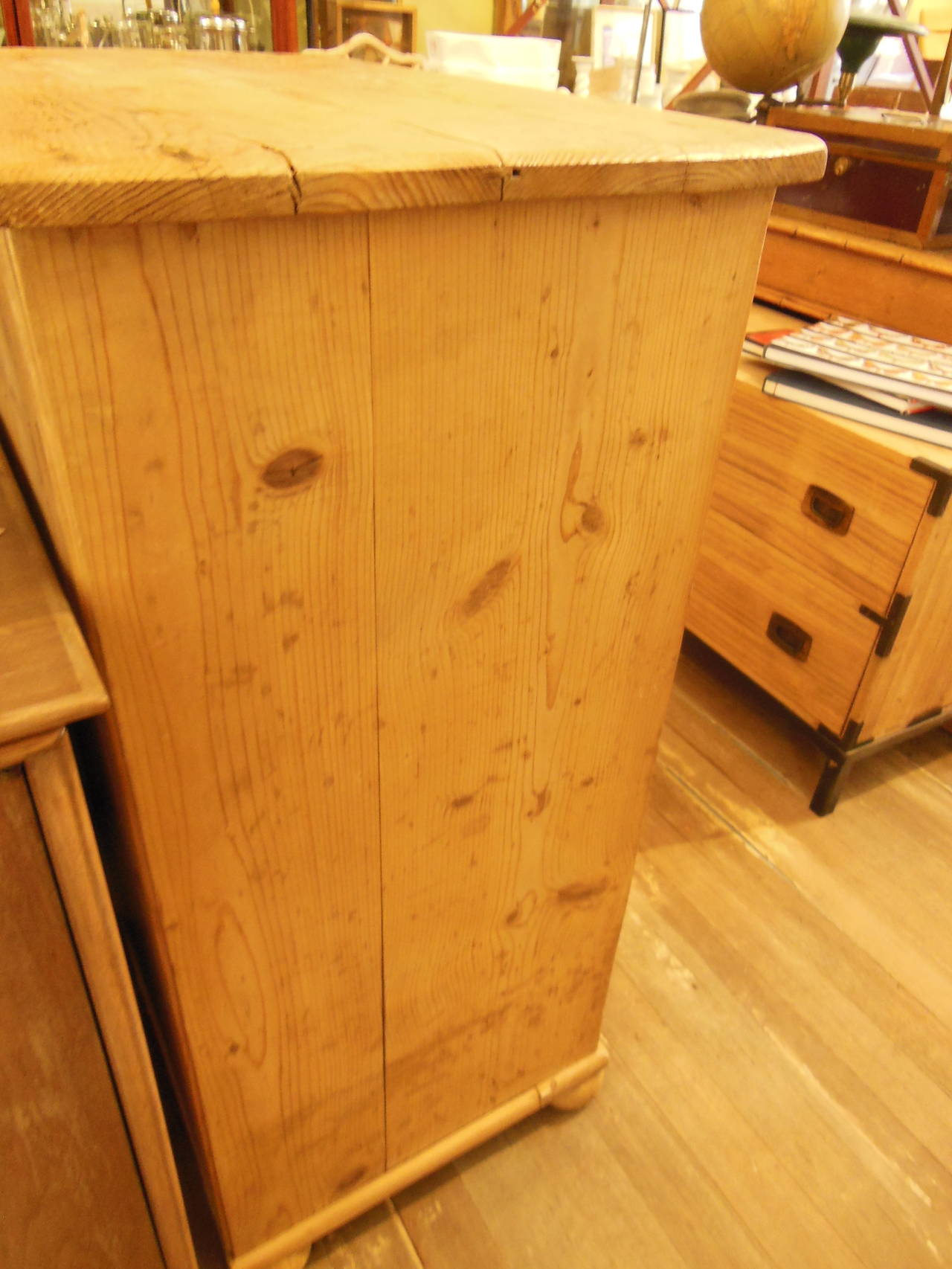
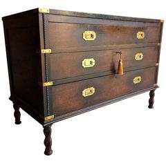
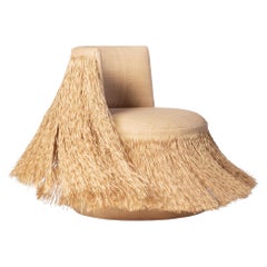
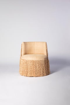
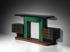
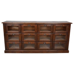
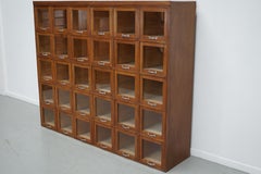
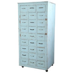
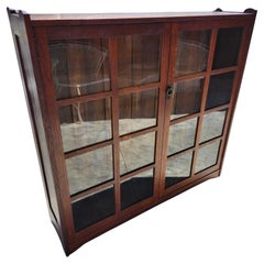
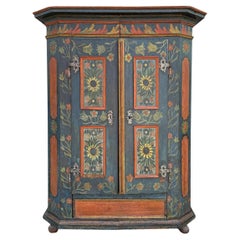
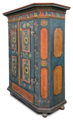
Of all the vintage storage cabinets and antique case pieces that have become popular in modern interiors over the years, dressers, credenzas and cabinets have long been home staples, perfect for routine storage or protection of personal items.
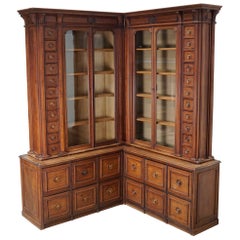
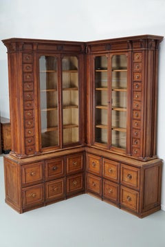
In the mid-19th century, cabinetmakers would mimic styles originating in the Louis XIV, Louis XV and Louis XVI eras for their dressers, bookshelves and other structures, and, later, simpler, streamlined wood designs allowed these “case pieces” or “case goods” — any furnishing that is unupholstered and has some semblance of a storage component — to blend into the background of any interior.
Mid-century modern furniture enthusiasts will cite the tall modular wall units crafted in teak and other sought-after woods of the era by the likes of George Nelson, Poul Cadovius and Finn Juhl. For these highly customizable furnishings, designers of the day delivered an alternative to big, heavy bookcases by considering the use of space — and, in particular, walls — in new and innovative ways. Mid-century modern credenzas, which, long and low, evolved from tables that were built as early as the 14th century in Italy, typically have no legs or very short legs and have grown in popularity as an alluring storage option over time.
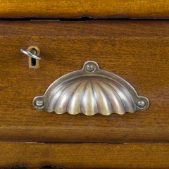
Although the name immediately invokes images of clothing, dressers were initially created in Europe for a much different purpose. This furnishing was initially a flat-surfaced, low-profile side table equipped with a few drawers — a common fixture used to dress and prepare meats in English kitchens throughout the Tudor period. The drawers served as perfect utensil storage. It wasn’t until the design made its way to North America that it became enlarged and equipped with enough space to hold clothing and cosmetics. The very history of case pieces is a testament to their versatility and well-earned place in any room.
In the spirit of positioning your case goods center stage, decluttering can now be design-minded.
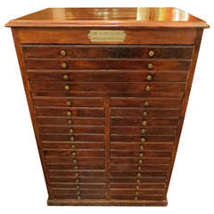
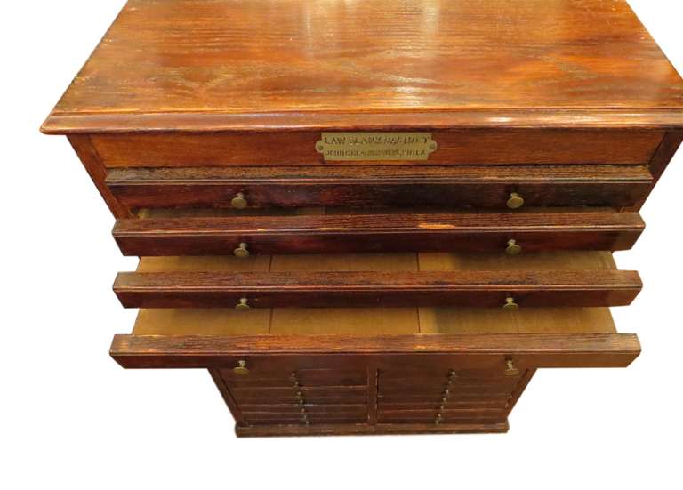
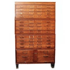
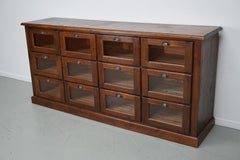
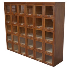
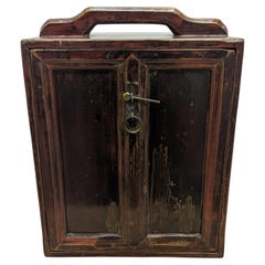
A contemporary case piece with open shelving and painted wood details can prove functional as a storage unit as easily as it can a room divider. Alternatively, apothecary cabinets are charming case goods similar in size to early dressers or commodes but with uniquely sized shelving and (often numerous) drawers.
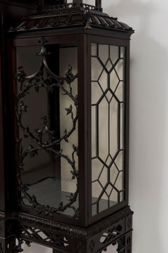
Whether you’re seeking a playful sideboard that features colored glass and metal details, an antique Italian hand-carved storage cabinet or a glass-door vitrine to store and show off your collectibles, there are options for you on 1stDibs.