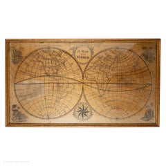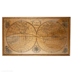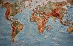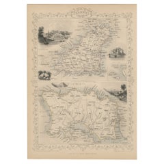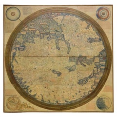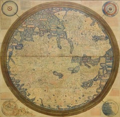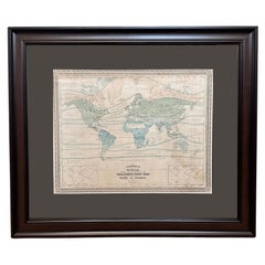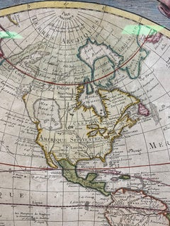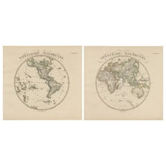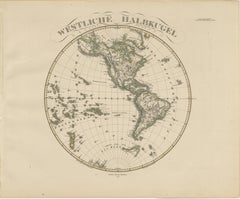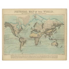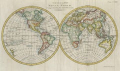
Interesting Original Antique Hemisphere Map Showing the Latest Discoveries, 1786
$1,055Sale Price|20% Off
Interesting Original Antique Hemisphere Map Showing the Latest Discoveries, 1786
Located in Langweer, NL
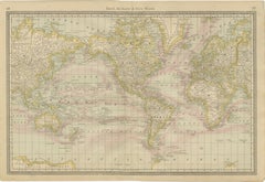
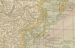
Antique world map titled 'A Map of the World from the best Authorities'. Detailed map of the World
Category
Antique Late 18th Century British Maps
Materials
Paper